Our heads filled with the sights of Monument Valley we pointed our Promaster, dusty with red rock residue, east along the southern edge of Utah toward the Four Corners geographic point. If you want to follow along on a map we simply drove an arc through southern Utah from Monument Valley to Bluff and then on to the Four Corners along Highway 163. The idea is to spend a week off our direct route to Santa Cruz, California by wandering the mountains of southwest Colorado. But first more desert!
More hot parched driving lay ahead, an afternoon of making miles, dodging angry impatient 18 wheelers and driving through shriveled up communities, places not lucky enough to have Monument Valley in their economic back yard.

This is the clearly labeled Forest Gump movie scene where Gump suddenly stops his endless walk and leaves his unwanted cult followers wondering what to do next. We didn’t stop…

It must be a popular stop as the speed limit is reduced to 45 and there are lots of pull outs for photo stops for Gump aficionados. The power of movie making. Mexican Hat sits on the San Juan river a powerful stream of muddy brown water that marks the northern boundary of the Navajo Nation. It’s a collection of ramshackle buildings and a couple of useful roadside businesses, gas and pizza, not necessarily in that order. We pressed on, not stopping.

I wanted to check out the river and we drove down to the boat landing, an easy overnight stop if desperate but there was just a filthy pit toilet and a muddy parking lot next to a muddy river. Not much joy, however Rusty liked the perimeter…walking all over the place, a dog of no taste obviously.

Temperatures dropped twenty degrees to near 70 and rain came bucketing down to add to the gloom. I watched motorcyclists pull over, riders of 20,000 dollar machines with no rain gear as I turned on the windshield wipers.

I had considered a stop at Valley of the Gods, a free dispersed camping site much praised on iOverlander but Layne was tired of rock columns and desert and heat while I worried about the rain which was heavy and I have no taste for mud driving so reluctantly I drove past the pyramids of sandstone with rock spires disappearing up a deep canyon. It really was too early to camp anyway

We were traveling Utah which would be another notch in the belt of place collectors but it’s not my first time in the Beehive State and probably won’t be my last. Besides you can’t tell these small desert towns one from the other based on appearance. The Navajo Nation reminded us of Mexico’s poverty with none of the color and a lot of bummed out people. Hardly surprising considering how they’ve been treated but not very uplifting.

You can see where Bluff got it’s name but the string of abandoned businesses and cramped expensive RV parks didn’t do much for us.

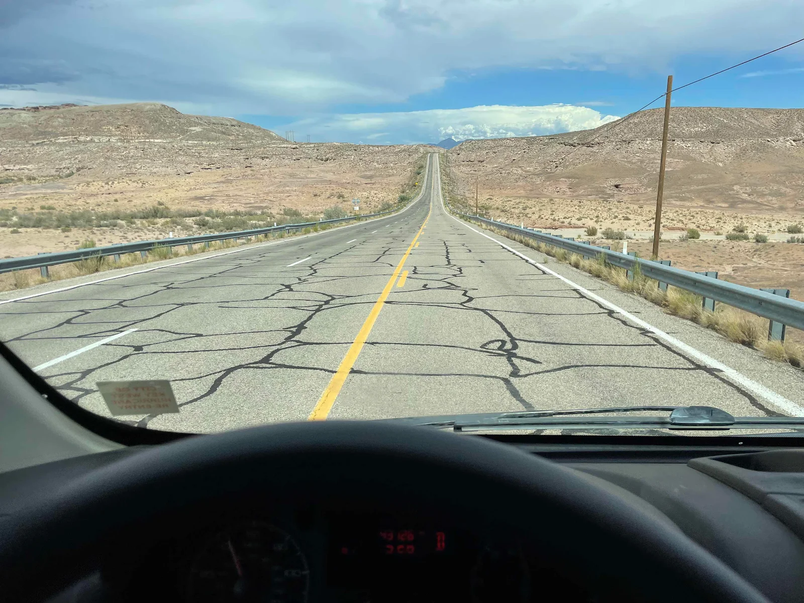
This was a drive to get where we were going. Remember unsaid you have to go there to get there? This is the unglamorous part of van life. Webb Chiles can tell you about days becalmed at sea, much worse for him than being storm tossed and active. For me this drive epitomized having to get there.

And yet… and yet this drive confirms for me that I am a driver. For fishermen a bad day fishing is worse than a good day at the office, or do the bumper stickers tell us. Do it was for me. I was driving my home, my body didn’t ache as daily exercise has thrown off the slumped spine of office work. We were listening to a Michael Connelly audio book and Rusty was asleep on his cushion under Layne’s feet. We were traveling and I was completely happy. And let’s be honest, even the desert offers extraordinary views, purple cliffs, white cliffs, canyons, arroyos, sudden spires of rock and long sweeping vistas to cloud covered peaks on the horizon. I had lots to keep me entertained on an empty highway. Empty, until it wasn’t. Yay! Roadworks! The necessary pause to keep the travelers’ infrastructure functioning. Driving rough roads is a pain.

Ten minutes later we were in New Mexico (another notch if you need it) and lined up to enter the Four Corners. I was here in 1981 on my Vespa P200 trip across country. It was a parking lot with a depressed Navajo jewelry seller next to a large brass circle marking the only place where four States meet. Been there, done that.

Unaccountably there was a line to pay eight dollars per noggin to enter a place that was crowded with customers and salespeople. This was not a place to meditate on the courage and vision of the creators of the western states not their sometimes underhanded ways to get what they wanted. This was a waste of time. We turned around. You can’t blame the Navajo for cashing in but I don’t ponder my history very easily when jostled by crowds and crass commerce. It’s there if you want to see it for yourself.

Traffic was sparse on the highway and the road works barely held us up going north. Cortez was next, the town that sits next to Mesa Verde National Park (Nevada Barr Mystery novel #1 - thank you Bruce for introducing me to the series). Entering the town it looked like the usual run down nothing much.

But turning the corner toward Durango we drive main streets a lively shopping and restaurant scene with lots of reminders that Colorado was the first state to legalize marijuana. And no, the sky did not fall in oddly enough. I’m high on travel so in cases you are wondering I am not interested in taking the stuff but Colorado is proof legalization has done no harm, at least not to the eye of the casual observer passing through.


We then came across a lovely looking rest area and we were tired so we figured we would stop, with sunset an hour away (we thought) we could pull over and get off the road. And then we saw tons of No Overnight Parking signs. There were no hours of opening posted and I had no idea what “overnight” meant. Would we be monitored and moved on after a set number of hours? Why doesn’t Colorado want drivers to sleep in rest areas? Was it a bluff and no one would bother us? Who knows. We bugged out.

Clearly they didn’t want us and I had spotted some boondocking possibilities in the San Juan National Forest twenty minutes up Highway 160 beyond Mancos. iOverlsnder is an app that doesn’t lie. Forest Service Road 316 has fire rings marking camp spots two hundred yards from the highway and dispersed camping is allowed deep into the forest. We wanted a one night pause so we stopped close to Highway 160 and pulled off the smooth gravel forest road. Easy peasy.

 You can see the road behind the van but we were quite isolated in our patch of field.
No views to speak of, nothing much to photograph, just some lovely serenity after a long day on the road. Some days are filled with incident and spectacle, others are just driving. I like both.