Now we can’t go to Bolivia we have to re-route Team Lost. Check out the map below and the black line is the route we are thinking about.
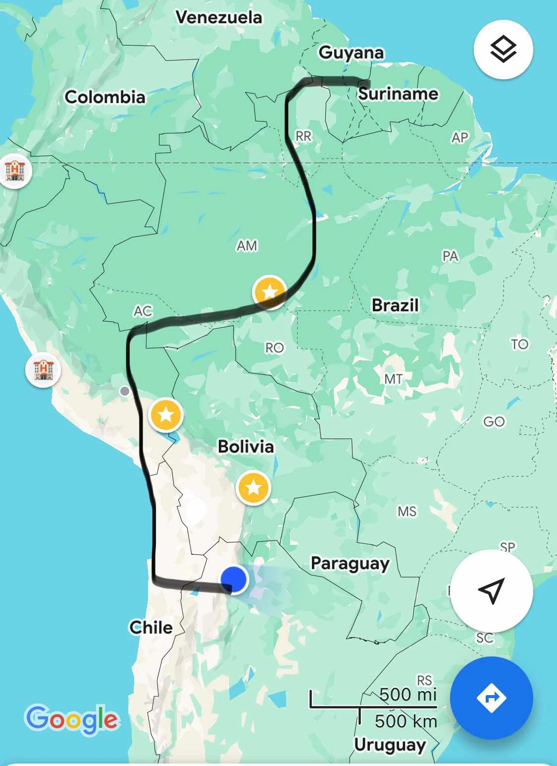
Obviously we’d been thinking of getting Lost In Bolivia for a few weeks, then popping out into Perú where I want to apply for a passport renewal as mine expires in a year. After hanging around to get that done we have to take the plunge for Brazil which is where timing gets interesting.
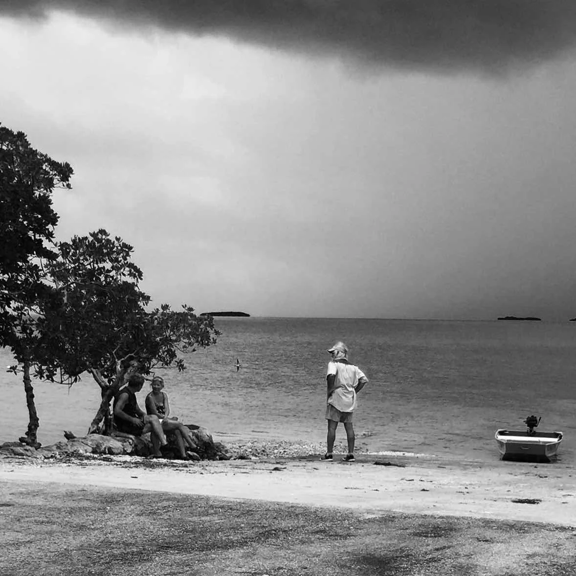
Just like life in the Keys (above) life on the road depends on the weather. Ask a sailor and Webb Chiles will tell you he needs to monitor the weather before he sets off on a voyage. It’s a matter of doing your best not to plunge into unfavorable conditions. We do similar when driving.
We don’t choose routes based on wind direction or strength, and rain doesn’t do much to us directly though of course floods and landslides can stop us. What rain does for overlanders is to make camping a pain. We live in small spaces and when the outside world is soggy it’s pretty confining.
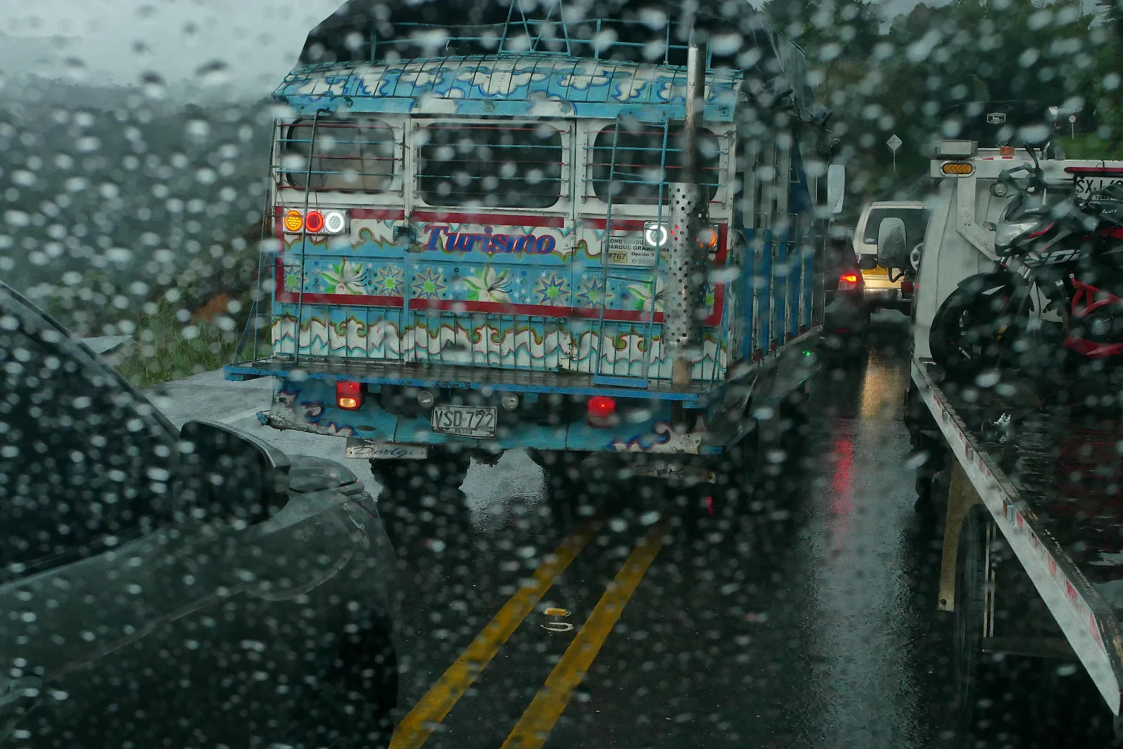
The other big problem with weather is the state of the roads. Some travelers, most of them, enjoy the challenges of dirt and mud and looking heroic. I don’t and anyone who reads this page knows I don’t even like dry dirt, never mind wet. Give me pavement; keep it civilized. When I route plan I want to check the route with Google Satellite view and street view like this:
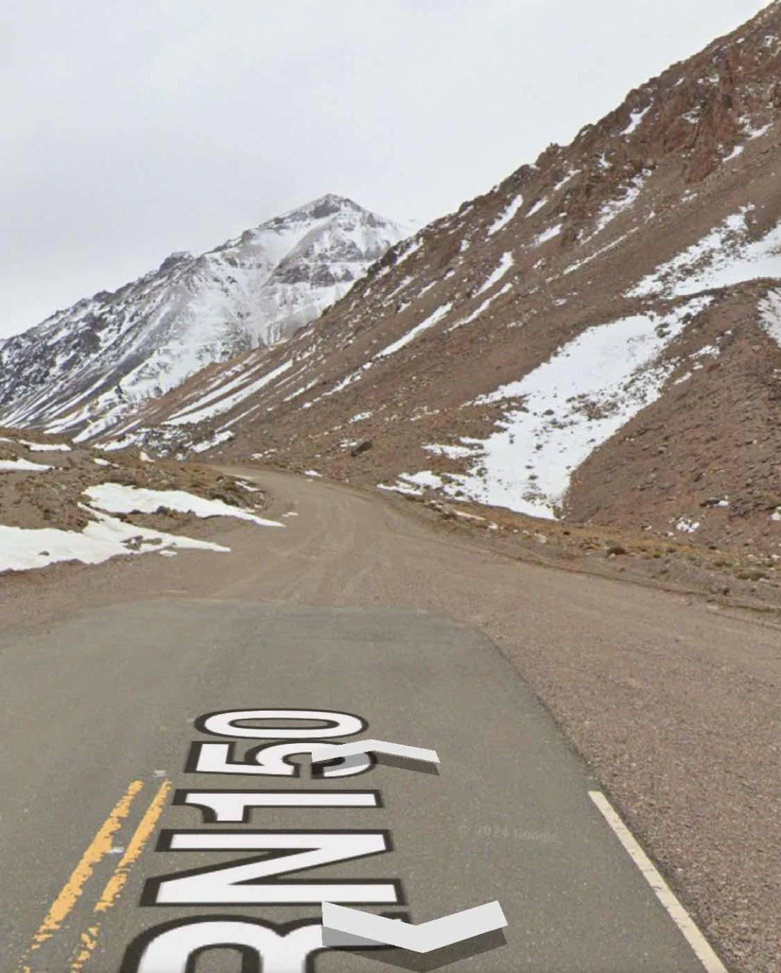
The satellite view can be in distinct but if in doubt it’s gravel. You can see the transition here:
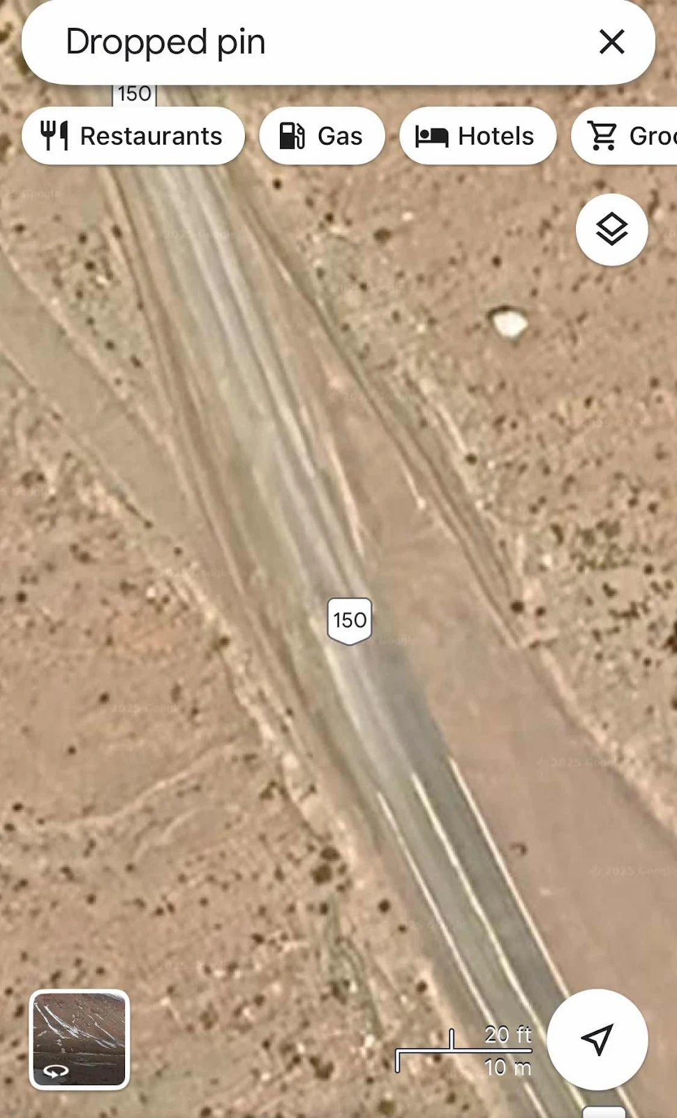
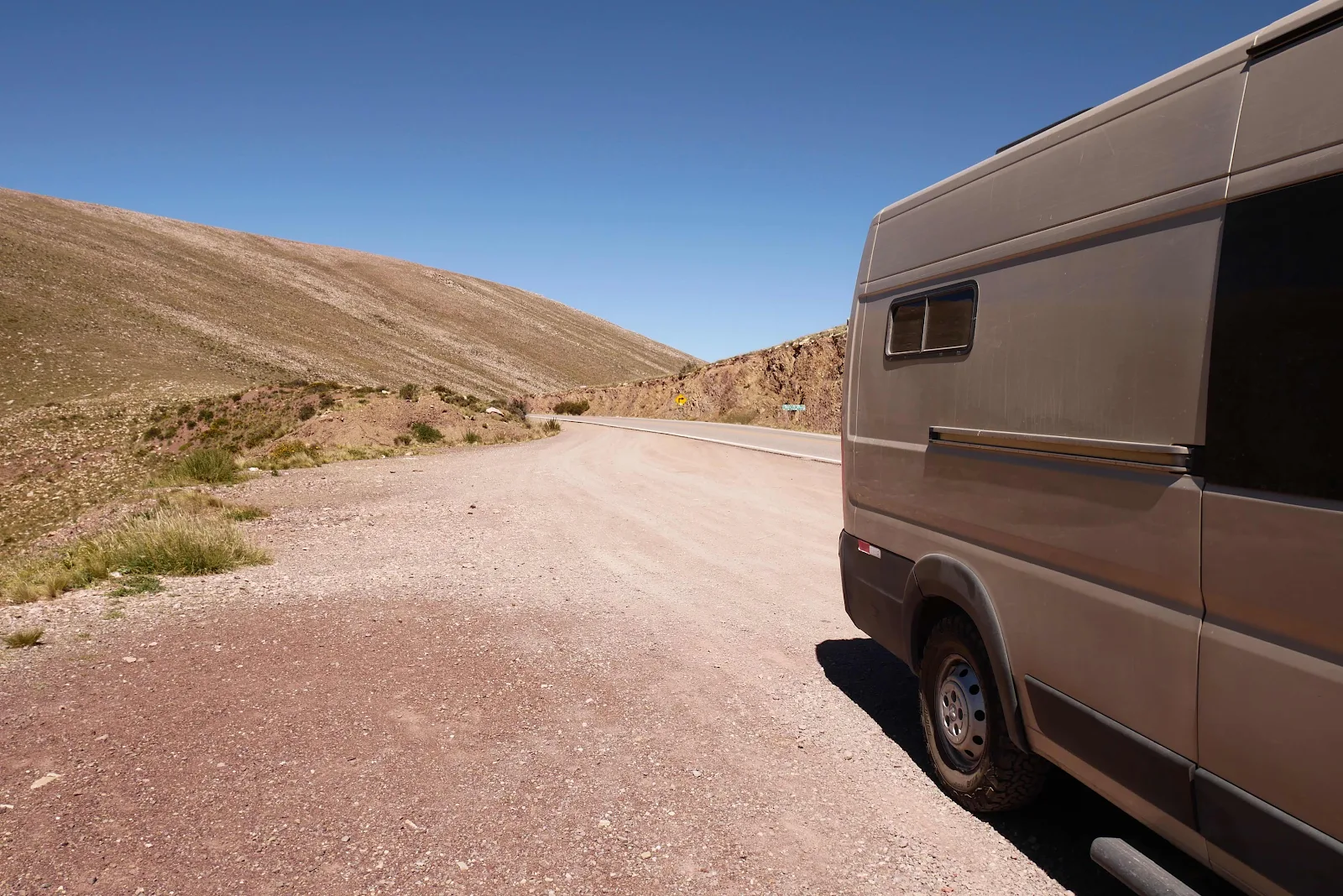
Here’s the thing: I don’t like gravel but if I know it’s there I can plan for it, increase my travel time by a factor of three and increase my fuel condition by a third. Take no chances is my motto and I still screw it up. More important is to try to figure out how to travel in the dry season.
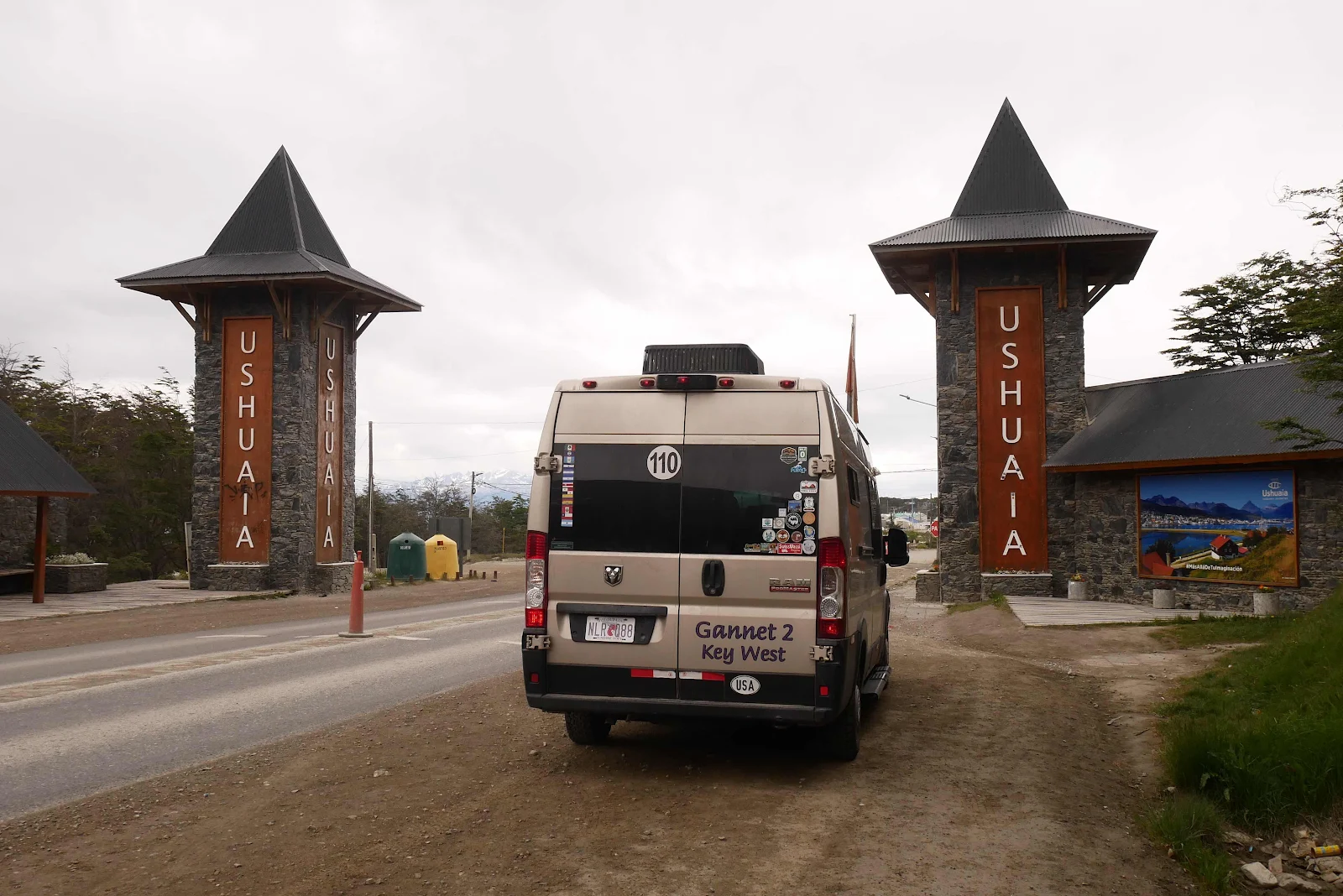
You’d think that being retired we travel without much regard to time. Obviously we have to stick to time limits for each country imposed by immigration at each border but our journey is governed by the seasons. On our way south we had decided to get to Ushuaia the southernmost city of the continent in summer. We did not want to delay till Fall and we wanted to arrive before summer vacations flooded the place so our drive south was predicated on being in Ushuaia in late December. We took this picture on December 21st 2024. Not bad huh?
Now we are in northern Argentina and Chile and winter is coming. We’re on the opposite side of the seasons from the northern hemisphere obviously so it’s time to start thinking about going north and getting into mountainous Peru for dry season.
Then there’s Brazil. Rain season in Brazil will stop us traveling Amazonia where there are dirt roads and ferocious insects that love wet weather. So then we look up rainy season in northern Brazil. Isn’t Google great?
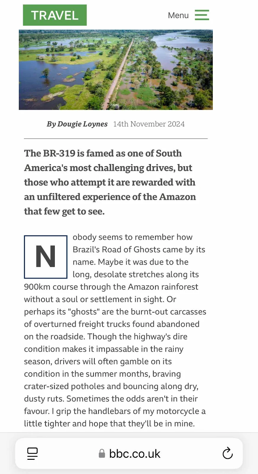
So, Perú in May/June, Brazil in July onwards. And that’s how we plan our routes. Fun huh? Look up Brazil’s Ghost Road or BR 319 to see why dry season is so important. YouTube has some truly horrid videos of the road in the rain.
If it’s really awful there’s a five day ferry down the Amazon to avoid the road. If we do drive it we’ll show you the pictures. And Brazil requires a visa for US passport holders which with our track record could be a hurdle. We’ll face that in Perú. Meanwhile, keel an eye on the weather everyone.
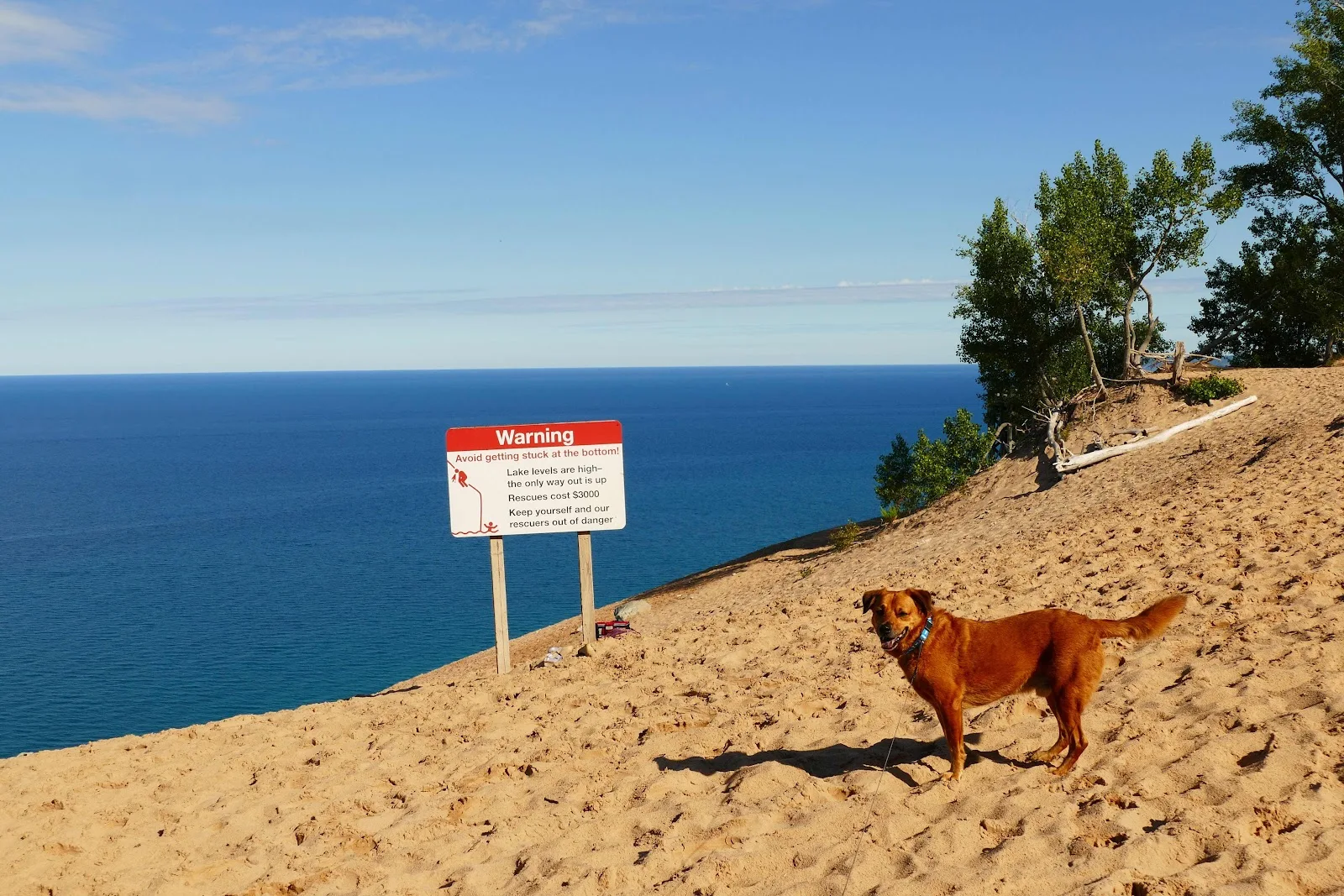
Lake Michigan Sleeping Bear dunes.
Cudjoe Key Florida. Our couch.

Big Torch Key, Florida.
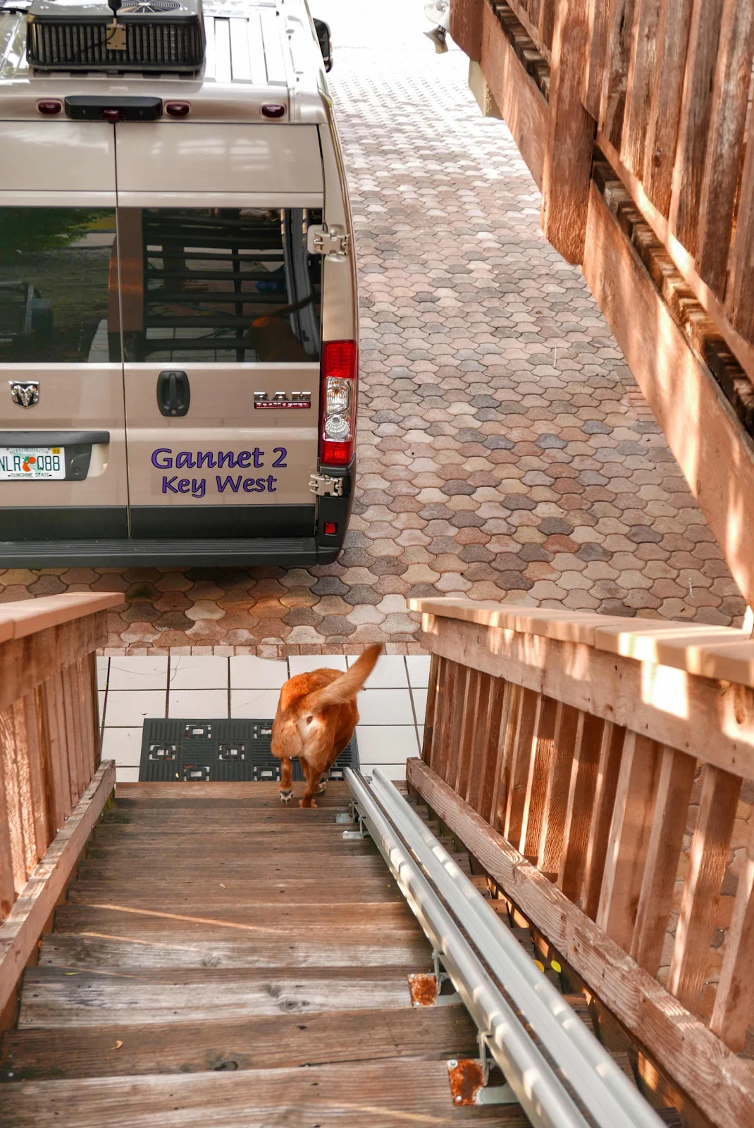
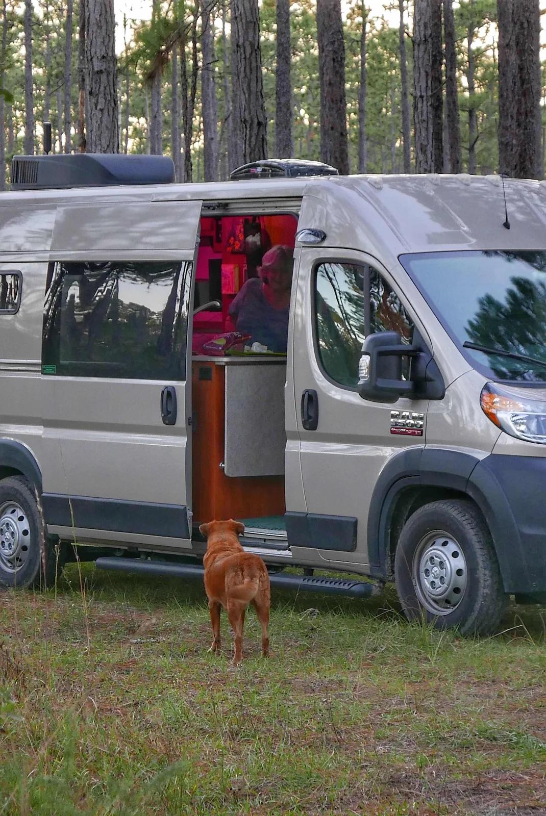
Rusty hated GANNET2 at first.
Thanksgiving 2020 Osceola National Forest Florida.
Lake Okeechobee eechobee levee, Florida.
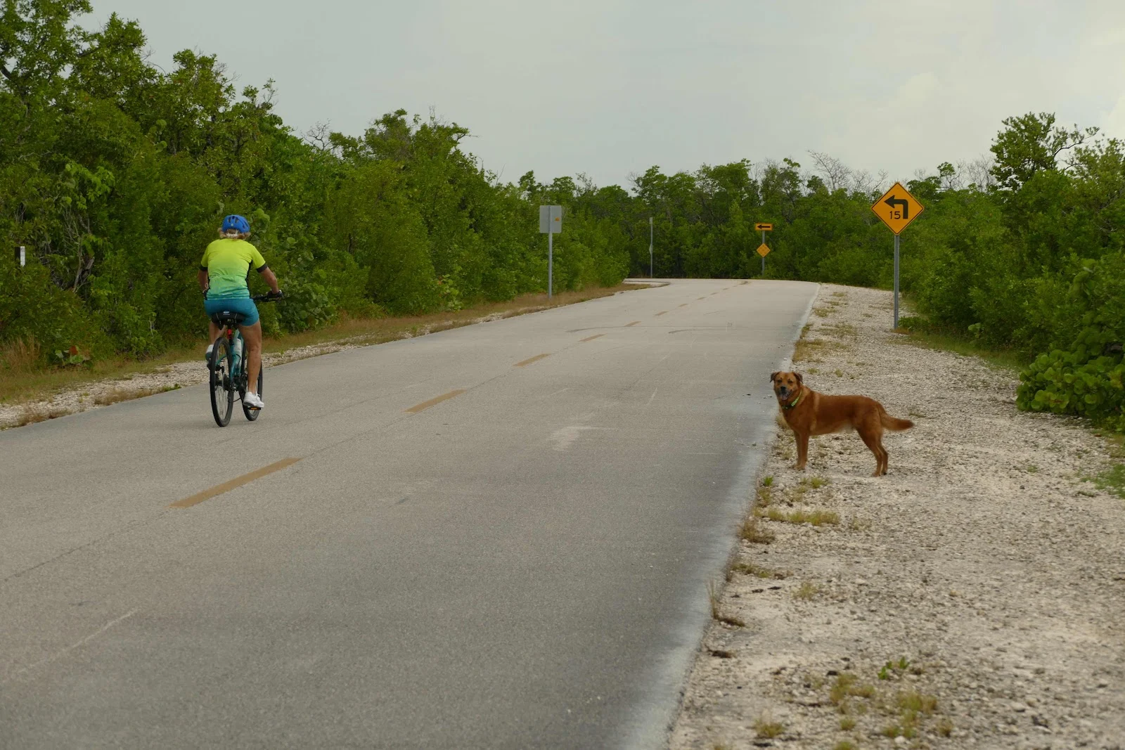
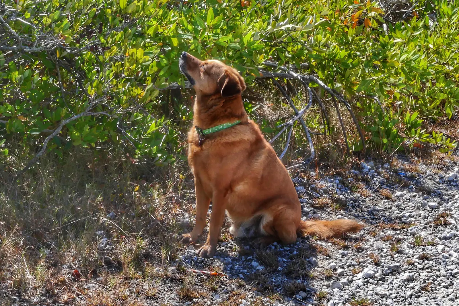
Rusty loved running free in the mangroves. Florida Keys.
Layne with Debs when we sailed to Belize 2000
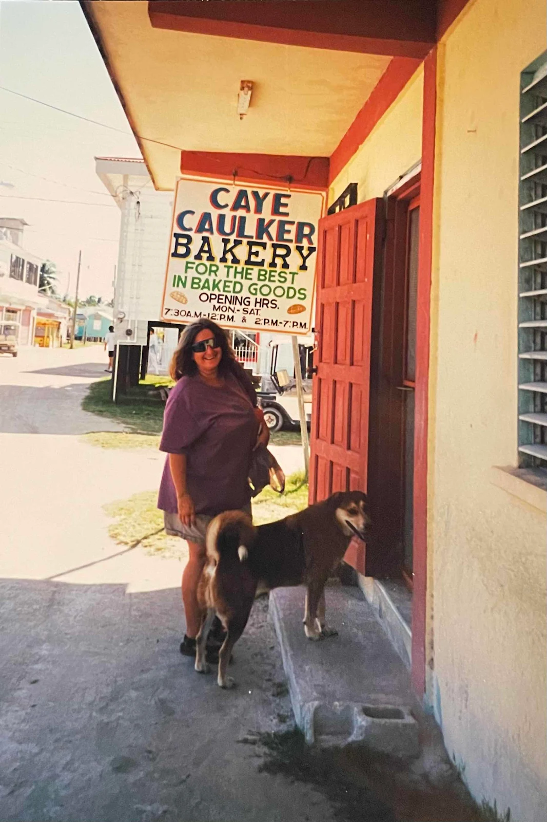
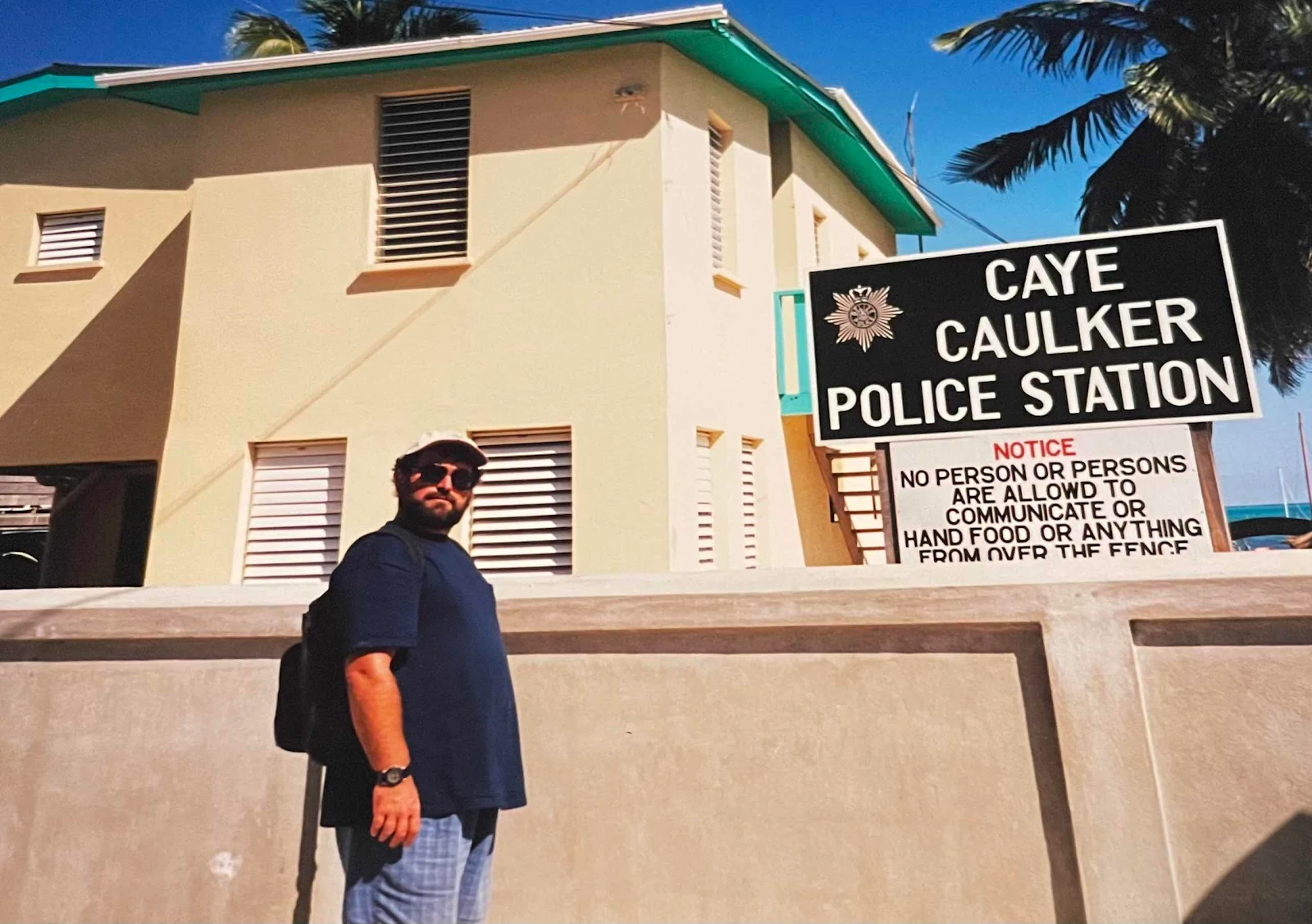
Me in Belize.
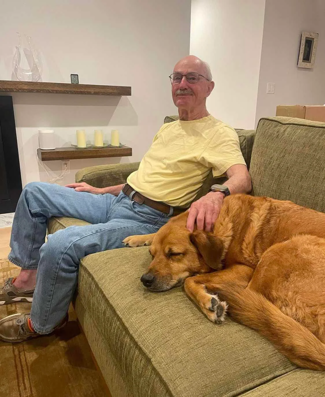
One of my favorite photos of Webb with Rusty. We’ve been on the road a long time.