There is a stretch of coast in the far northern tip of California that offers a wilderness experience you will be hard pressed to find in the United States. There are no nattily built footpaths, no hand rails and no warning signs here. You are on your own and it is magnificent.

The thing is you have to get there and it ain’t easy. Why would it be?

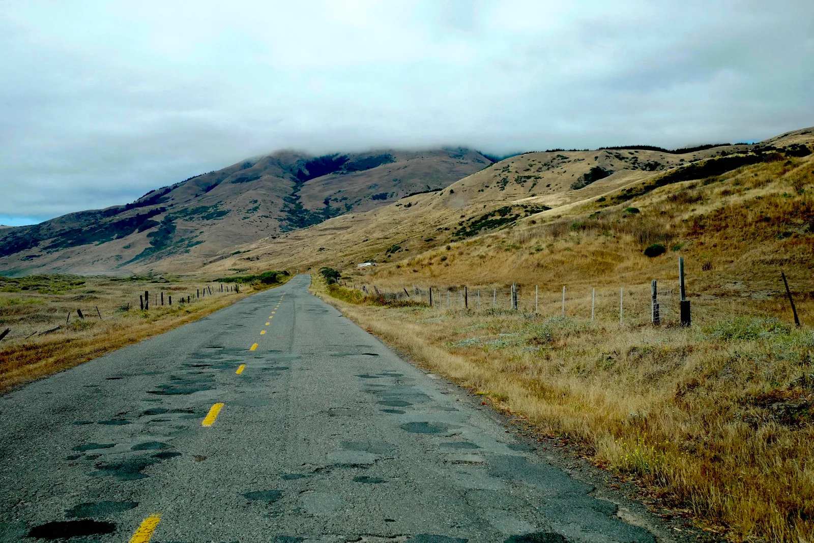
“Jeez, this road is terrible,” my wife the navigator said as we bounced and jostled slowly toward Petrolia still more than 20 miles and one Google-map-hour away. The pavement looked like someone had poured molten lava down a hill and let it set as it chose. We had ripples and bumps and dips and torn up stretches and pot holes to contend with, and the road itself was narrow and twisted and coiled upon itself like a snake with a broken back. The unpaved bits came toward the end near Honeydew and Petrolia where slides had torn up the asphalt which hadn’t been replaced. There are no celebrities or tech billionaires with second homes here to demand roads get paved. The scenery was glorious and traffic was very sparse, so it’s their loss I guess.

It was a Saturday so we spotted what looked like ordinary weekenders in shiny impatient SUVs and giant chromed pickups bought to tackle these wild country roads that we were wallowing gently down in our unsuitable 21 foot Promaster. The dusty pick ups held back but leapt past as soon as I pulled over to let them by, while the city slickers tail gated as I looked for a suitable place to pull over. Not your average commute:

Most of the countryside was devoid of human construction. We saw lots of gates and quite a few mailboxes but you can see why in the bad old days they grew dope out here illegally like moonshine in Appalachia.

And one gets the impression from the number of grow houses under translucent plastic tarps barely visible from the road, and the miles of impenetrable fencing, that even now that marijuana is completely billboard advertising legal it is still a Humboldt County industry.

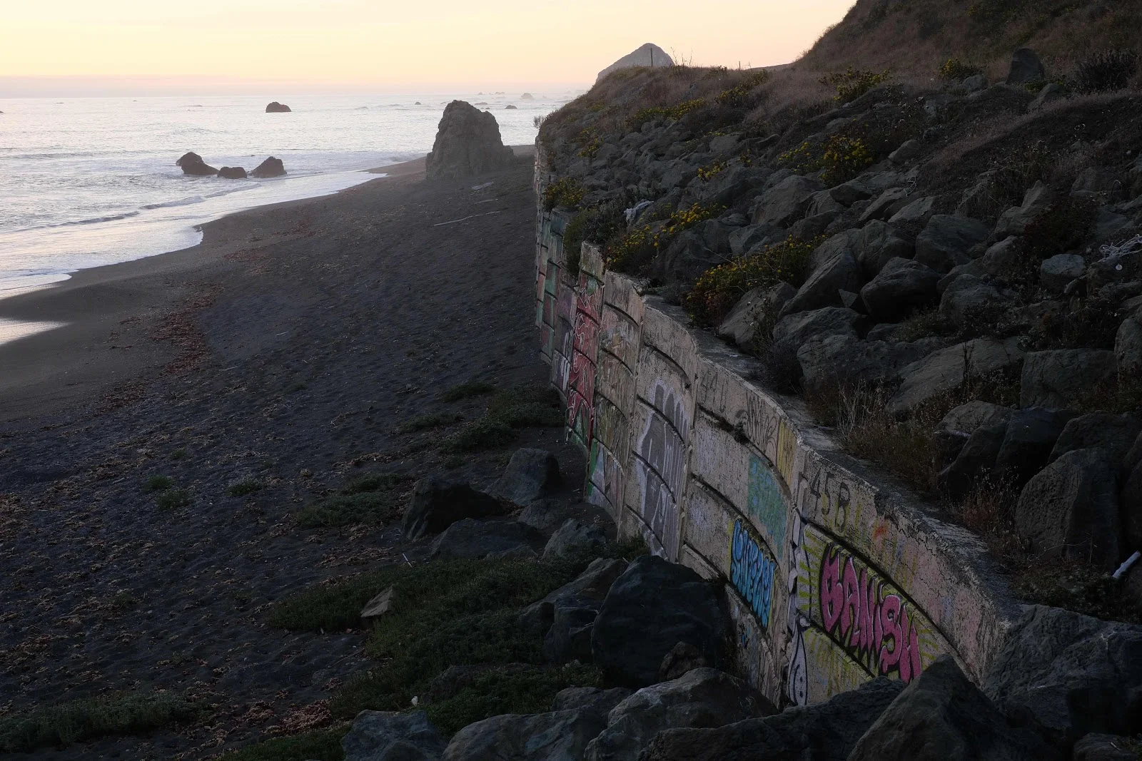
Our destination was a stretch of coast between Punta Gorda and Cape Mendocino advertised on iOverlander as having several attractive pull outs with beach access and total isolation. The warnings were explicit: approach from the north, via Ferndale as the road is better and shorter. Come from the south via Petrolia at your peril as the road is winding narrow and difficult. “The worst road I have driven,” was a frequent comment. Naturally we came from the south as we wanted to explore, especially as a poet I used to know in Santa Cruz made his home near Petrolia for many years and I had never seen the area. I was in awe of Stephen Kessler’s intellect and I wanted to see what he found so compelling. I’m still not sure frankly as Petrolia isn’t just isolated, it really is lost and he has long since moved.

Layne surprised me by suggesting we stop for some eggs at a random isolated farm, which around here are sold on the honor system, seven bucks for a dozen. I don’t suppose many passers by would purchase if the eggs weren’t chilled in a fridge, but in Mexico we bought ours from stalls never refrigerated and they were excellent stored at room temperature.
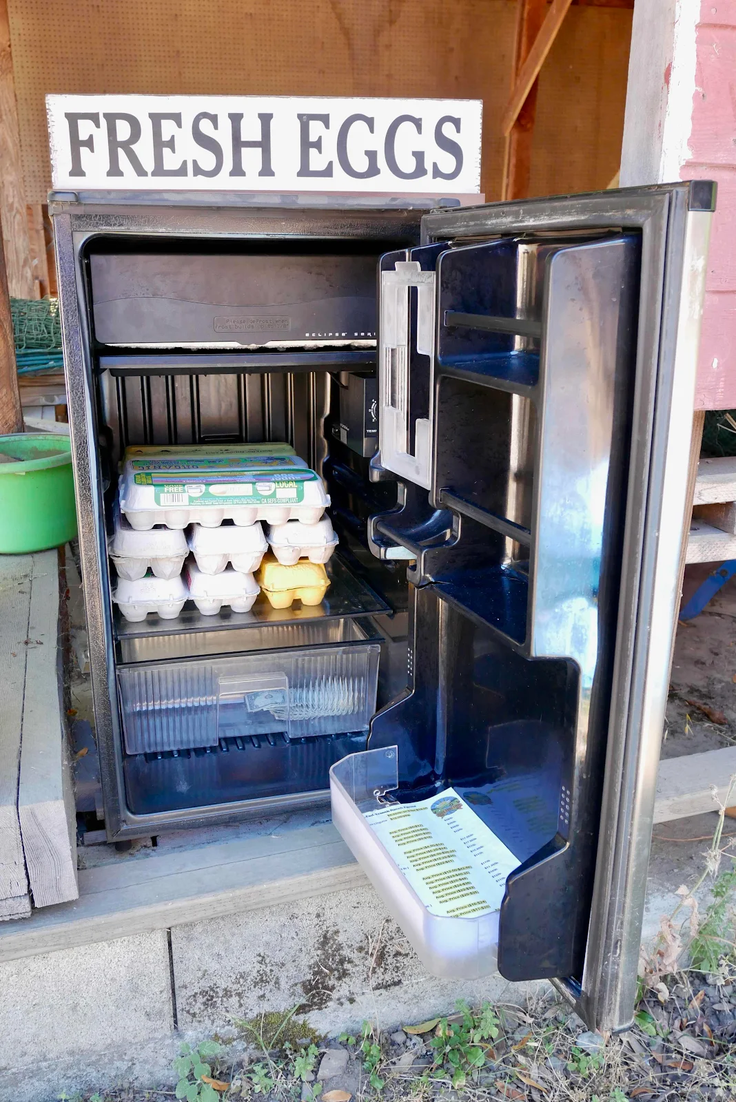
It was a slightly odd touch-free transaction and we dropped our ten dollar bill, took the change and the eggs and drove away. It wasn’t quite 80 degrees but the air was warm and still, deep in the mountains. We saw the chickens in their run on the hill guarded by a rather lonely dog in a kennel as abandoned to his own devices as we were.

Wouldn’t it be funny if we came across a gate saying “No Public Access?” Layne said cheerfully as we resumed twisting and bouncing on Mattole Road toward the elusive and ever distant Petrolia. We laughed at the suggestion and then we promptly found this:

We stared at the tree for a few seconds, possibly expecting the holographic joke to de-materialize but after we had sucked in our breath and expelled a few choice swear words it was obvious we had to do something to avoid backtracking two hours and forty miles to Highway 101. So we got on with it, and I don’t mean I got my hand saw out and worked myself into a lather to cut a path through the downed tree. No sir, I got smart. I put out a red triangle we carry to warn oncoming cars in case of breakdown and then equipped Layne with our red breakdown flag (required in Latin America) and I backed Gannet2 across the road to get the best angle of purchase with our 12,000 pound WARN winch. I unspooled the rope by hand…

…all under Rusty’s eagle eye. He is the best supervisor in a crisis, sitting to one side to make sure all goes well.

I figured a rough angle from the end of the tree to the front of the van which would pull it aside enough to open one lane and with the winch line shackled in place I turned the engine on to help power the winch and then used the remote control in my hand to wind the rope back into the winch easily pulling the tree.

It went surprisingly well and with the tree out of the way I used the remote to rewind the winch and feed the rope smoothly back onto the drum. That’s the second time the $3000 winch (cost fully installed from Van Compass) has saved us - once when we fell into some soft sand in Barra de Potosí and now on the road to Petrolia. Oddly enough no traffic showed up until just after I had finished opening the road. The first driver on the scene said he happened not to be carrying his chainsaw which he usually does when he visits his place up here. I said no way was I going to go all lumberjack and saw it by hand!

The second car that showed up was a local fire department dispatcher so we had a laugh about that coincidence. She was really happy to see the road re-opened and very grateful. Of course my winch work wasn’t mere altruism as I was as keen as anyone to get to the coast…and indeed I saw some scuffed bark and broken branches on the tree leading me to wonder if someone in a big lifted truck didn’t just drive through the obstacle. Not me in my pansy van. The whole operation including packing up took about half an hour.

Feeling pretty pleased with ourselves we resumed our drive to the ever distant Petrolia and that was when we found the steepest section of road which was, very cleverly, not paved. This would be tricky to negotiate in a rainstorm in winter. On a warm summer’s afternoon it was dusty and slow but delightful.

Petrolia itself looked pretty much like Google street view shows it, literally a one street town with a fire department next to the general store which supposedly sells gas but didn’t advertise anything more combustible for sale than propane.

I might have liked a masked wander in the store but Layne wasn’t in a shopping mood so we pressed on. I wonder if they sell zebra meat?

I didn’t get a photo of a mountain lion we scared into motion as we drove by but that was the first time I’ve seen one, and it was bounding through the dry grass, camouflaged such that at first I thought it was just another deer. It was sleek and powerful and looked much bigger than I had imagined, more like a “real” lion than the oversized cat of my imaginings.

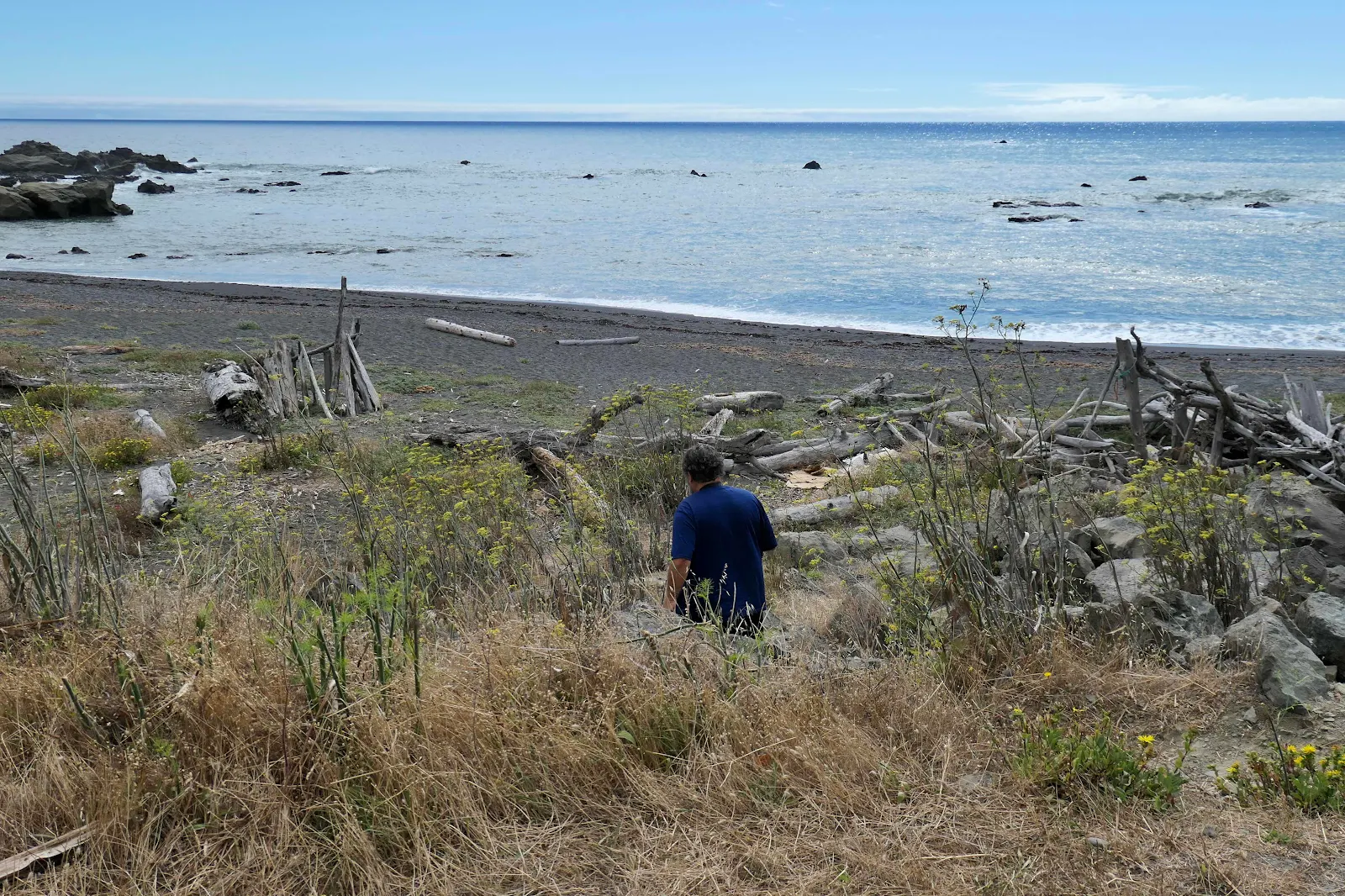
We let the crappy road, the dirt diversions, the pot holes, downed trees and the brutal ripples in the asphalt fade behind us when we finally got within sight of the water, and it was an astonishingly calm, flat day speckled with unexpected sunshine.

The rock on the horizon marks Cape Mendocino itself, though we parked a little before we reached that exact point.
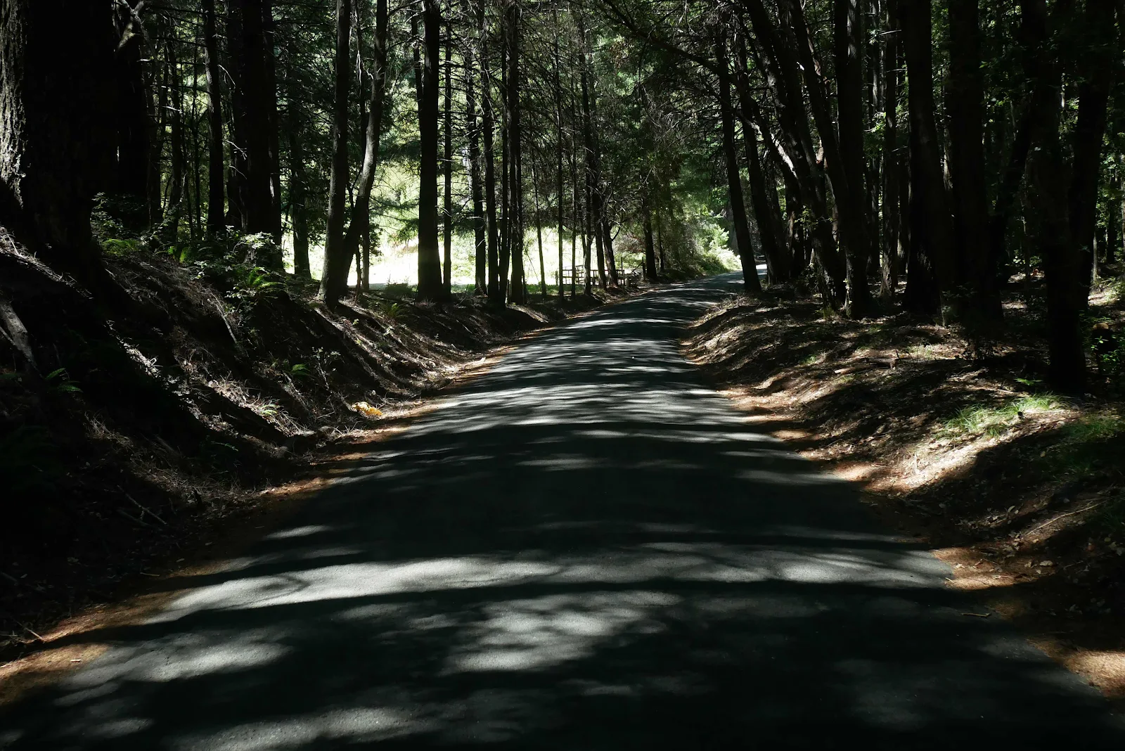
The odd thing about this entire northern California journey thus far is the total absence of public lands. There are no national forests along our route, no Bureau of Land Management signs, no dispersed camping, just fences, pot farms and no trespassing signs. Even along the beach we saw cattle grazing both sides of the road and we had to drive some distance to find pull outs with open beach access, as promised on iOverlander.

Bear in mind we were here on an August weekend and if not crowds I did expect to see a few other people. Cars flashed by coming from Ferndale to the north on the easier access road (I hope!) and from Petrolia to the south. We saw a few tourists stop and walk briefly on the beach but for the most part we could have carried out nude Druidic rituals by the side of the road and offended no one. It is that isolated.

This spot has a reputation for high winds and cool temperatures but we struck a weekend with almost no wind and totally flat seas. There was some marine inversion of course but as hard as I looked I could see no spectacular wave action crashing on the multitude of rocks. It was a great time to motor your boat north to Seattle in a flat calm.

We weren’t completely alone though, and Rusty was not at all happy to see cows overhead. He sat and watched them closely as they grazed the hillside.

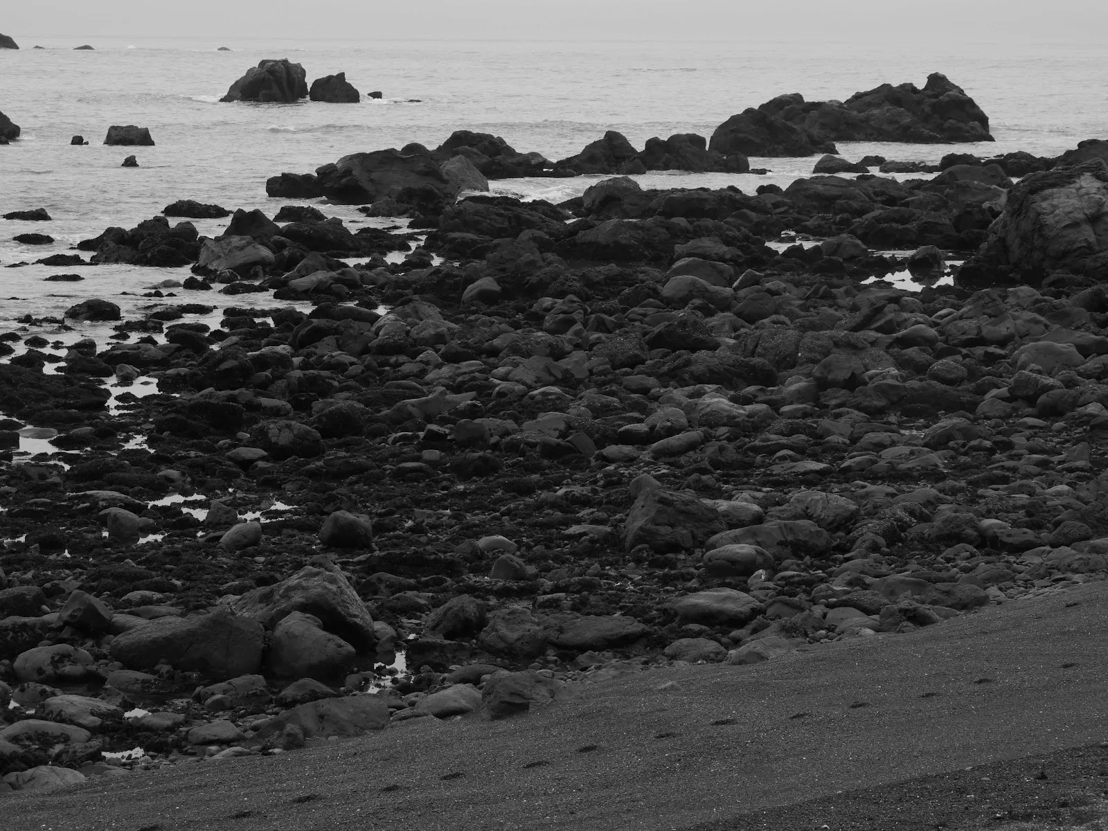
The beach is composed of tiny gray pebbles rounded by sea action and soft to walk on. So soft it is actually a bit of a chore, at least for me, not my dog.
He loved this spot and kept coming up and licking my face and hands, his way of expressing approval when we stop somewhere worth while. It really isn’t a bad stop for us either and Layne expressed her approval too, though perhaps less effusively.


All to ourselves. No internet service, no sounds except the birds and the waves and occasionally the cows or a car flashing by. Layne thought the road to Petrolia was the toughest we’ve ever driven bar none, not even in Mexico, but we both agreed the drive was worth it and recommend it to you for some well earned solitude.


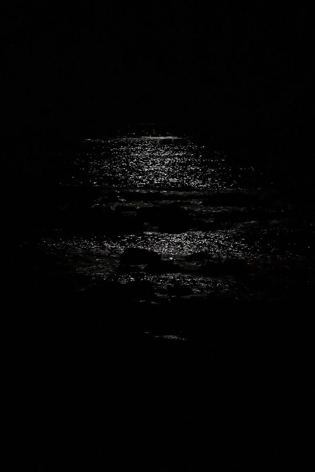
A half moon on the water:
Tide lines:


Highs in the 70s and lows overnight in the 50s. Perfect insect-free camping climate.


Mystery tracks that appeared on the beach overnight, raccoon, coyote or…lion?

After two days we left it as we found it…and went north in search of a cell signal!
