The Outer Banks are a hundred mile long sandbar sticking into the Atlantic Ocean. The weird bit is driving Highway 12 you have no…

…idea the ocean is right there.

It is actually a waterfront highway but the ocean is hidden behind a berm.

They need the berm to keep the highway open. Blow a storm and lose Highway 12. Actually the highway was reportedly a mess over the Christmas storm last week, with water and slush ice in the roadway mixed with wind blown sand. Fantastic I’m sure, but not for me. The melted ice was looking like a lake in the road:

I can’t help but compare Highway 12 to driving through the Keys. This is a much more rural experience as this is after all the Hatteras National Seashore. The endless commerce and neon and tropical vegetation is a total contrast to the subdued North Carolina coastline.

In midwinter there’s no traffic - and no open businesses either! - but I’m told high season is a huge traffic jam half the time.

Ocracoke was waking up yesterday as islanders came home from family celebrations on the mainland. Tourists came off the ferry looking to get ready for New Years Eve celebrations so we, the contrarians rode the opposite way to Hatteras (below) with just half a dozen vehicles on the ferry.

Rusty had no interest in the whole ferry experience. I told him it was only an hour and it was free but he curled up and slept. I did a crossword. Layne complained she had nowhere to sit.

We wanted clam chowder on a brisk 45 degree day. There wasn’t any we could find so we settled for hamburgers at a place called Bros in the village of Avon where Layne’s Rueben and my spicy burger were excellent. Good enough even with no clams in sight.

The Buxton Woods is one of the largest wilderness areas in these sandbars and I wanted to take a walk. It wasn’t Ocracoke’s waterfront Springer’s Point with ocean views but I enjoyed the shaded woods and so did Rusty. I also found out what sedge is. That would be the damp weedy bit of marsh between the higher dry land surrounding it. This is sedge:

We walked alone as Layne had had trouble sleeping Monday night worrying about waking up early to finish departure preparations, the problem of not trusting your alarm, so she took a nap while we walked. Then we all stopped at the famous Hatteras lighthouse. The 275 steps were closed for construction which was a bummer. The Bodie lighthouse is closed for winter so that was that in the lighthouse visiting department. Hatteras light was pretty though, almost as scenic as GANNET2:

There you have it for Highway 12. Everything except the basics is closed. You can buy gas and groceries but tourist tat is unavailable for the winter non season. Keep driving.
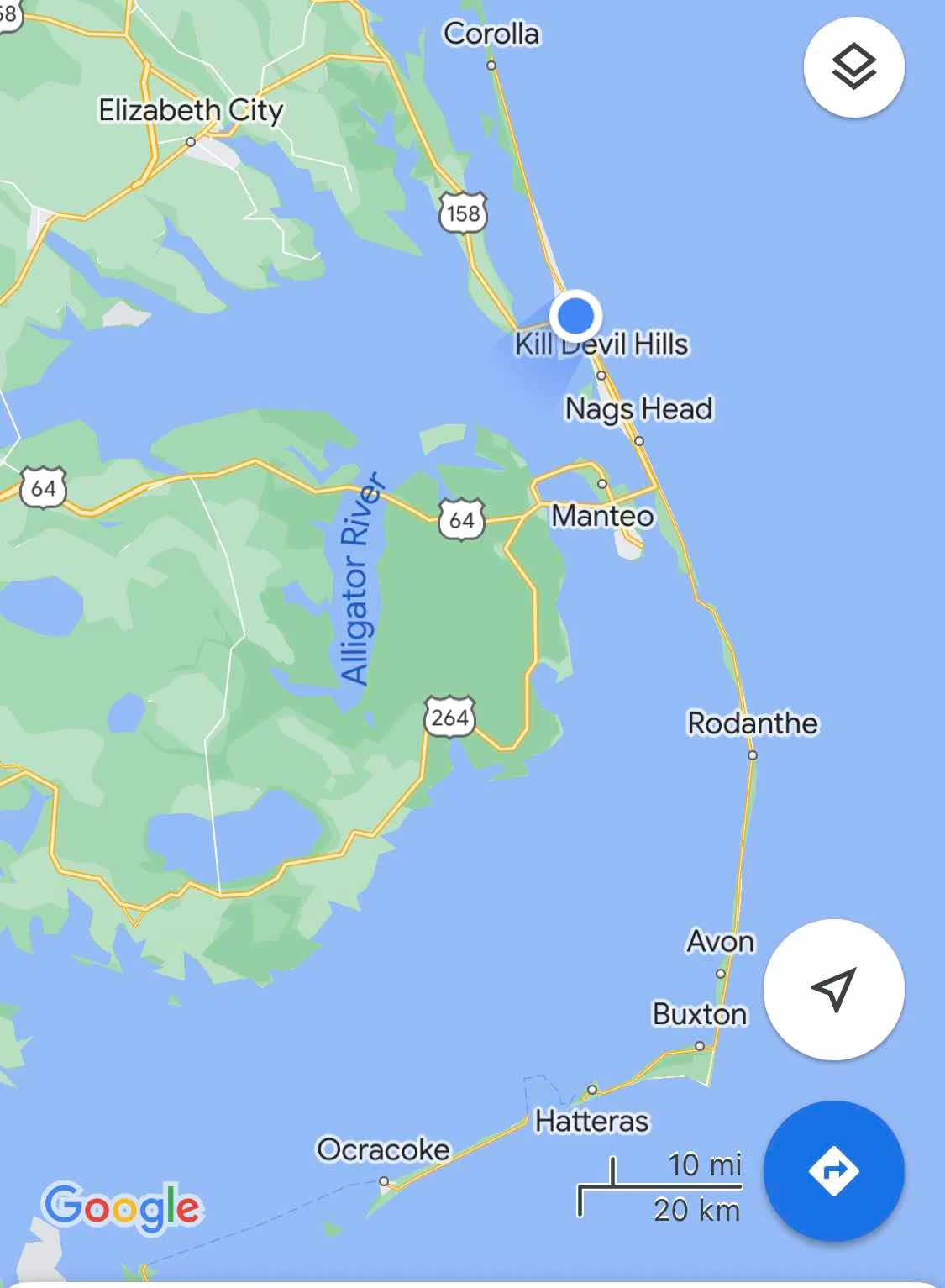
Just north of Rodanthe the highway takes a weird turn to the left. The reason is that the old road got smushed by one storm too many, so they cut their losses and built a whole new causeway in the sound next to the low lying sandbar with the old road! Odd but it works all right and gives a nice smooth ride.

There is no channel or passageway required for boats so the causeway is level with no hump in the middle to give you a view across the marshes. For that you have to wait for the spot where the road always used to collapse at Oregon Inlet. It won’t now because they have built a serious vast modern bridge there.

There’s a marina near the bridge and the Bodie Lighthouse so deep sea anglers get out into the ocean and the bridge is tall enough for them to get underneath and out through this inlet:

The funny thing for us sitting on Ocracoke with nowhere to go for ten days was hearing about how the ferry wasn’t running and everyone seemed okay with that isolation. Fair enough we thought, they are used to it. Then we heard questions about whether the highway north was open! That came out of nowhere and we wondered how that happened. It turns out the strong winds blew sand onto the road but beyond that the Christmas freeze put some serious ice and even dangerous black ice on the road which is decidedly not normal. Bummer. I was therefore glad to see a mere lake which was bad enough by the time we drove through.

By Nag’s Head the road turns into a four lane Federal Highway and the scenery becomes chain and box store countryside with a giant hospital dominating the southern end of town, that big blue box: 
Kitty Hawk sits in much larger Nag’s Head’s shadow but it shines as the place where powered flight took off a hundred years ago. We visited the spot in 2013 when we first visited the Outer Banks on Spring Break and I wrote this post about it:
Our plan was to spend the night at the rest area which sits at the entrance to Kitty Hawk from the north.

Not busy in December it worked for us as an overnight stop. There’s a monument commemorating the first flight in the rest area.

Rusty as usual ignored the whole thing.


I enjoyed reading the milestones listed even though I’m not a fan of flying. Modern commercial travel is horrible but the whole notion of hanging in the air being propelled by internal combustion strikes me as slightly mad. That I enjoy the perils of highway travel instead of the statistically safer realms of flight makes me not so bright I know. My hat is off to people who like to buzz about in the clouds.

That two midwestern cyclists decided to build a flying machine and change the course of human history boggles my mind. That they succeeded takes my breath away. And they didn’t die. Good job.

Our stop for the night. Pretty romantic I think you’ll agree.