We left the campground at Las Mercedes in Arequipa before nine o'clock yesterday and Google figured we’d be close to the lake by 3:30.

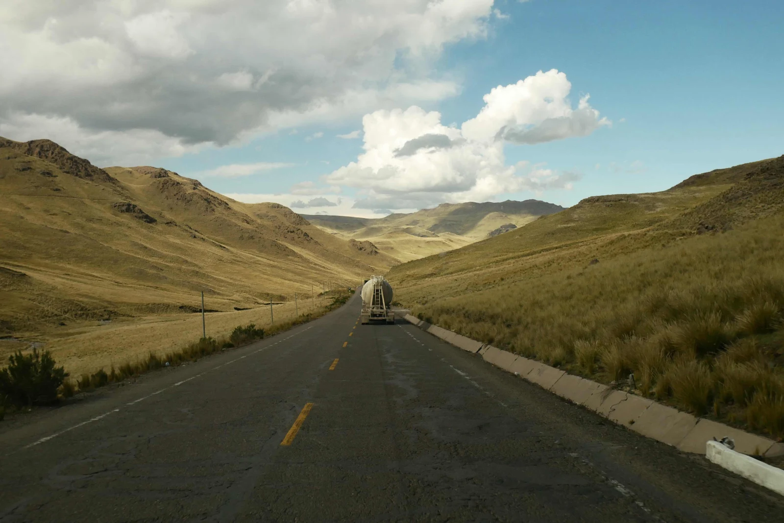
However we soon discovered no way were we going to cover the 140 miles, because Highway 34A is awful.
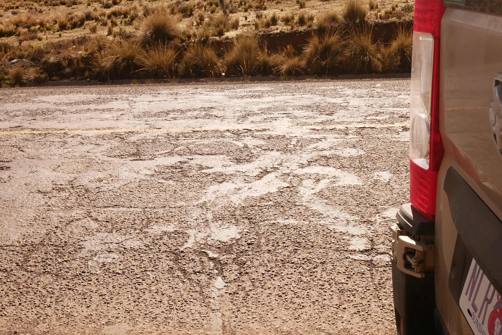
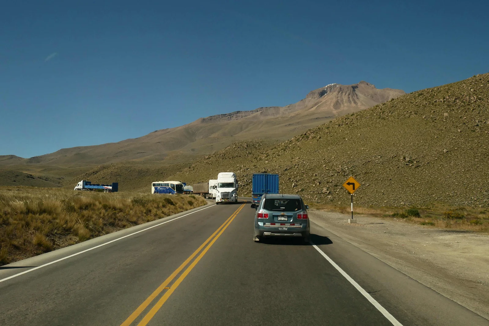
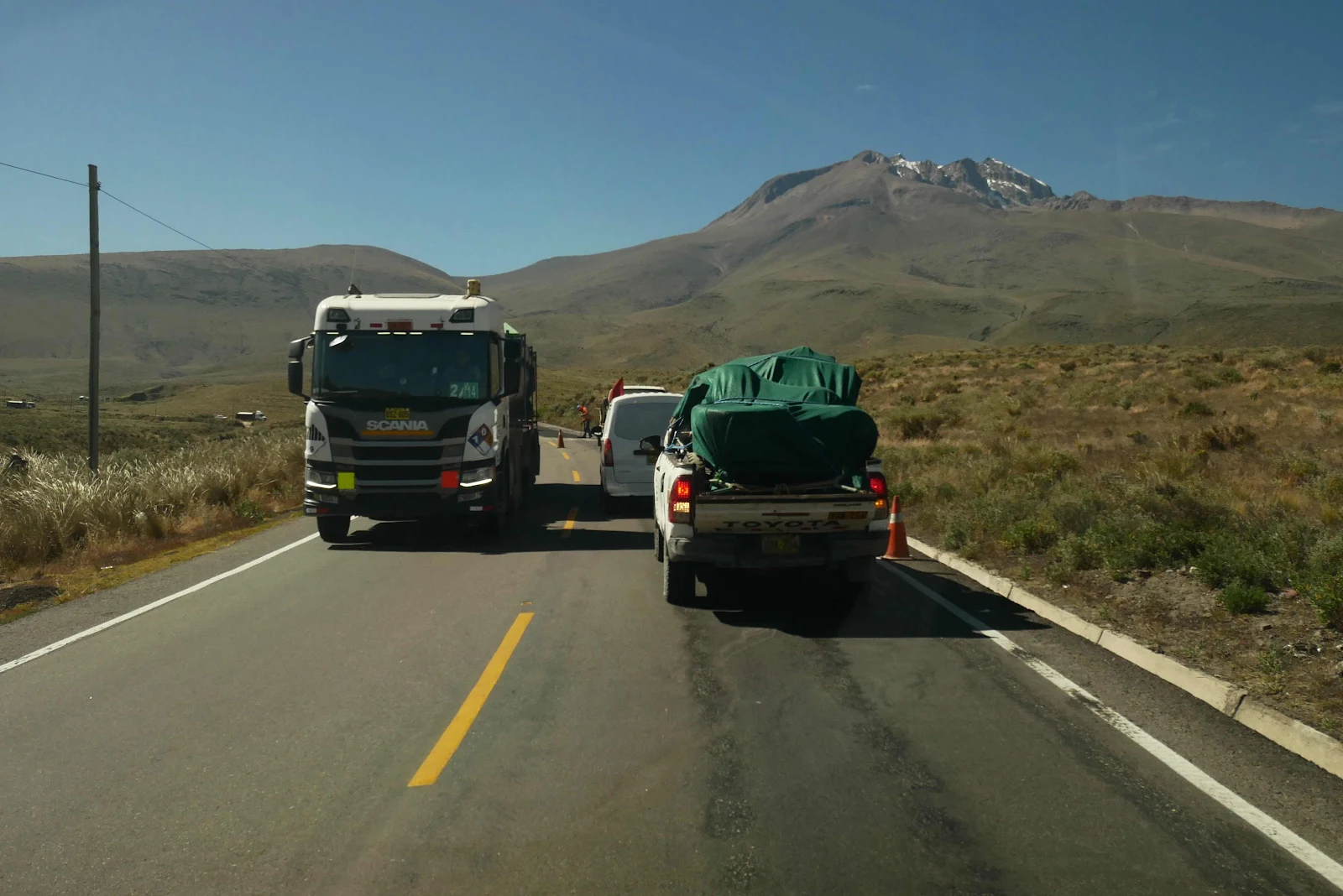
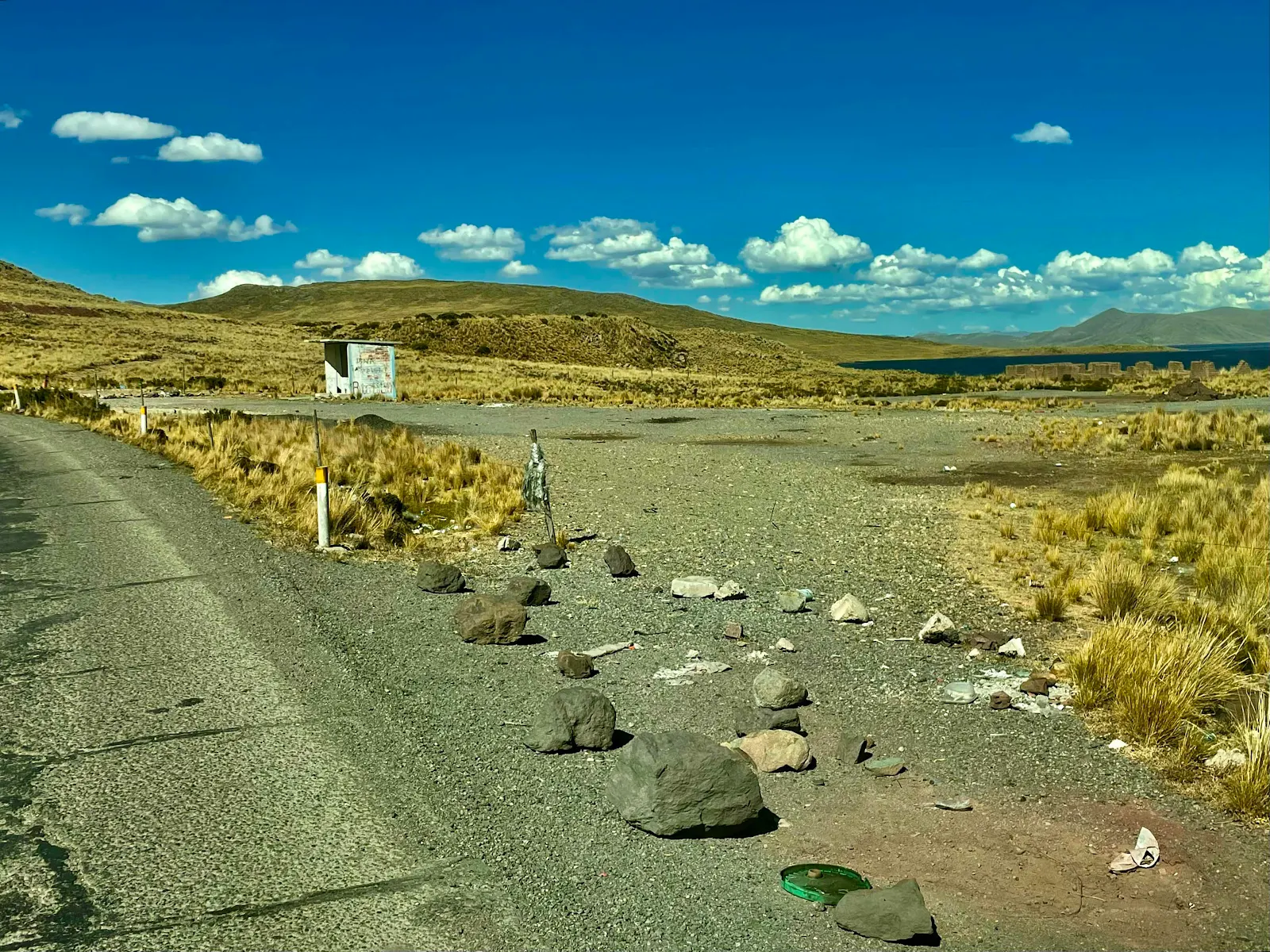
It’s hard to see in photographs but the pavement is patched to death, unevenly in a way that makes a heavy van bounce. All day long. It was exhausting.
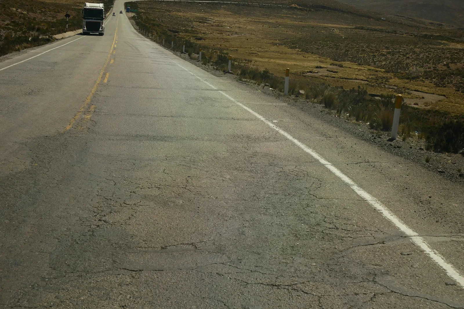
The scenery was very nice and all but this is a major artery between the coast and the interior. Technically it’s called the Inter-ocean Highway connecting the Pacific to the Atlantic across Peru and Brazil.
The amount of traffic on a Saturday was amazing and it was mostly heavy trucks which will also explain why the asphalt is so badly wrecked.
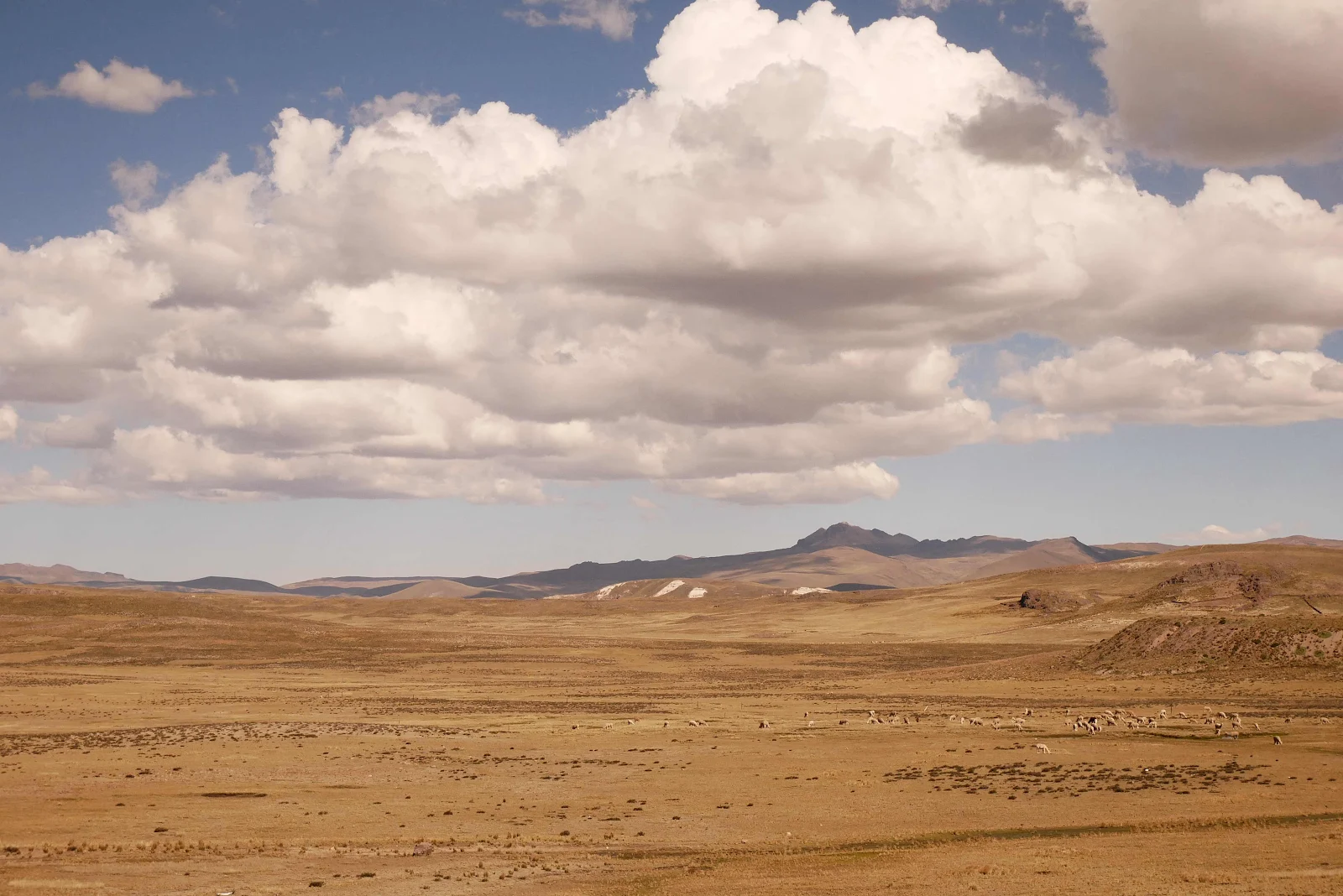
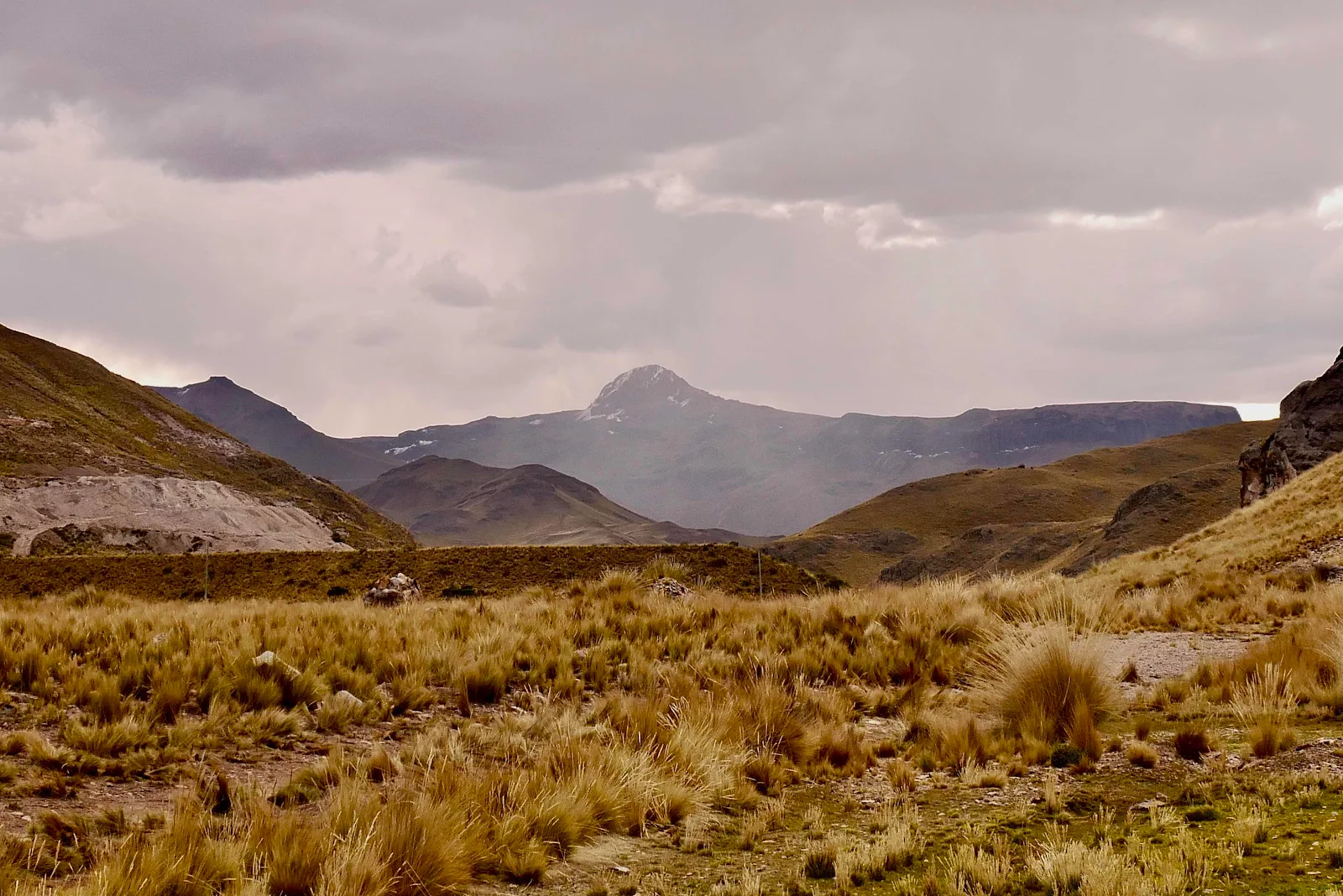
In rainy season you can get mist (“neblina”) in these highlands. Arequipa is at 7,400 feet and the road here topped out at 14,600 feet.

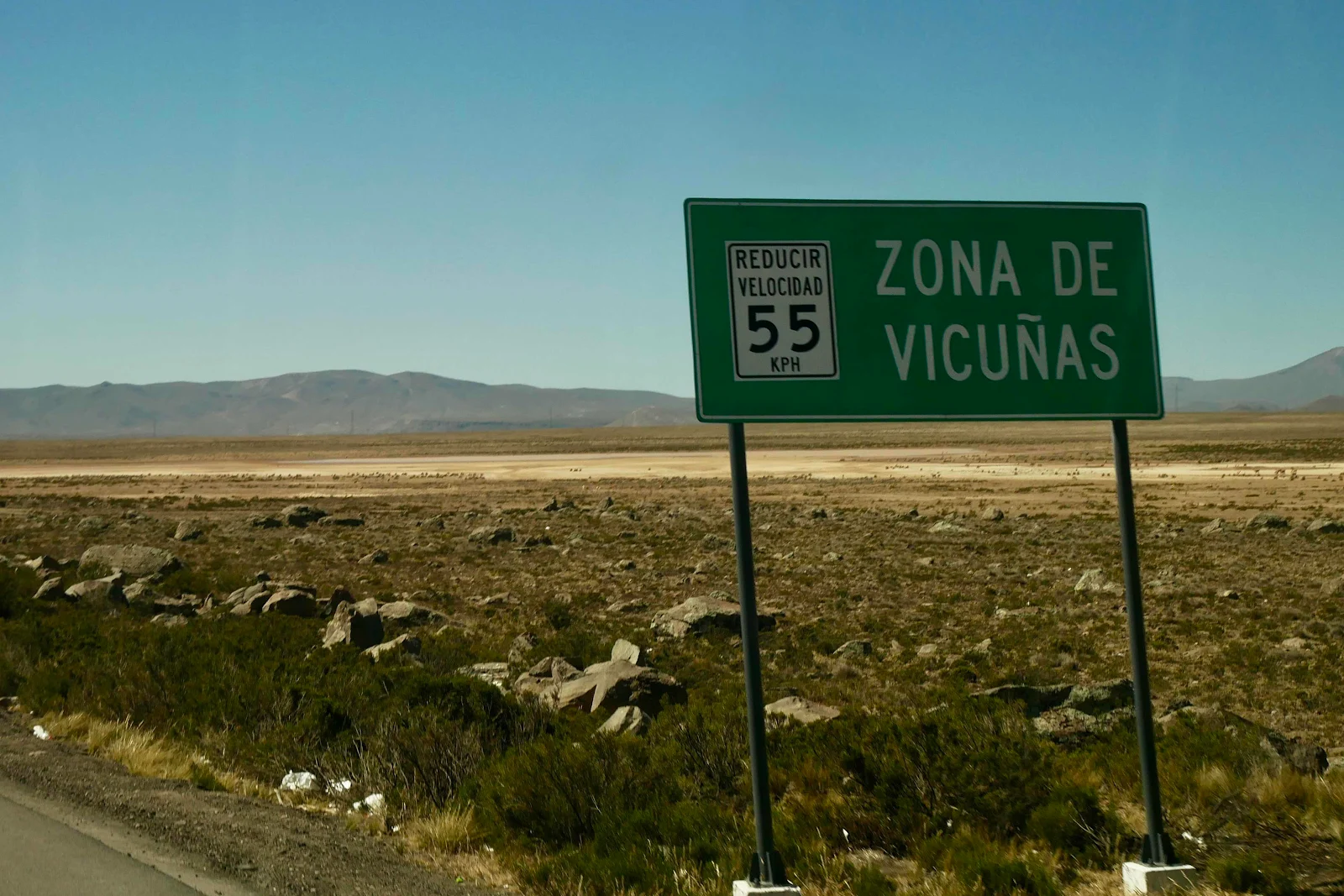
They call this area the high plains (“altiplano”) and it’s an area that stretches riches from here south across Bolivia, indeed most of that country is between 12,000 and 14,000 feet.
It’s a rough place to make a living. Temperatures drop to freezing pretty much year round at night. We’re far above the tree line and though we’ve been lucky so far it can be unbearably windy. Other than that it’s lovely.
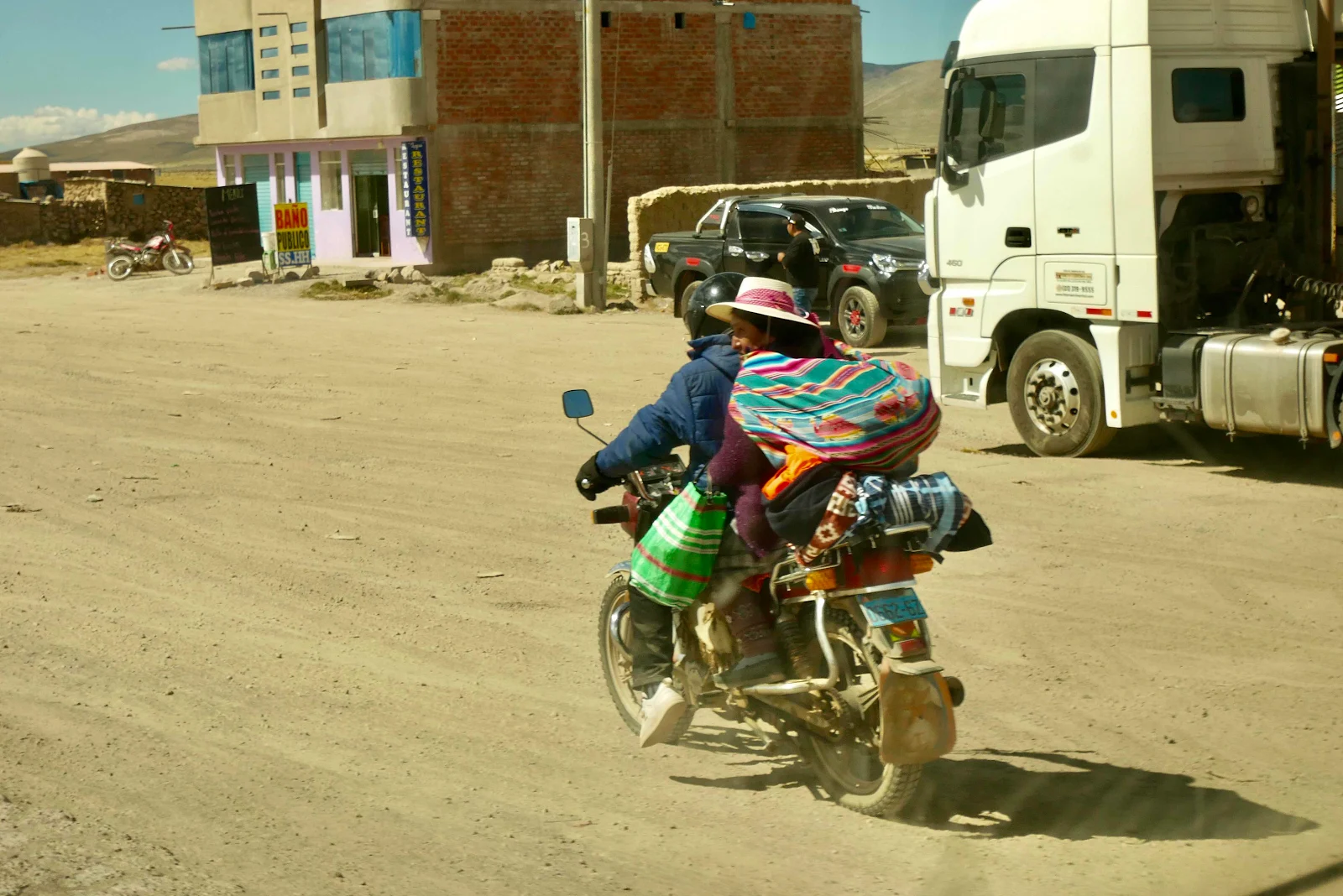
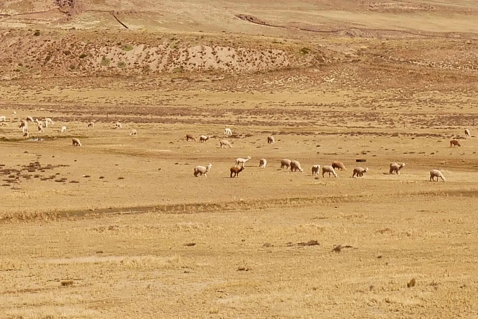
This was the first time we’d seen vicuñas. The animals you know as llamas (“yamas”) are really broken down into four so called camelids, inasmuch as they are rebated biologically to camels. In a continent devoid of horses they were quite handy before Spaniards introduced horses.
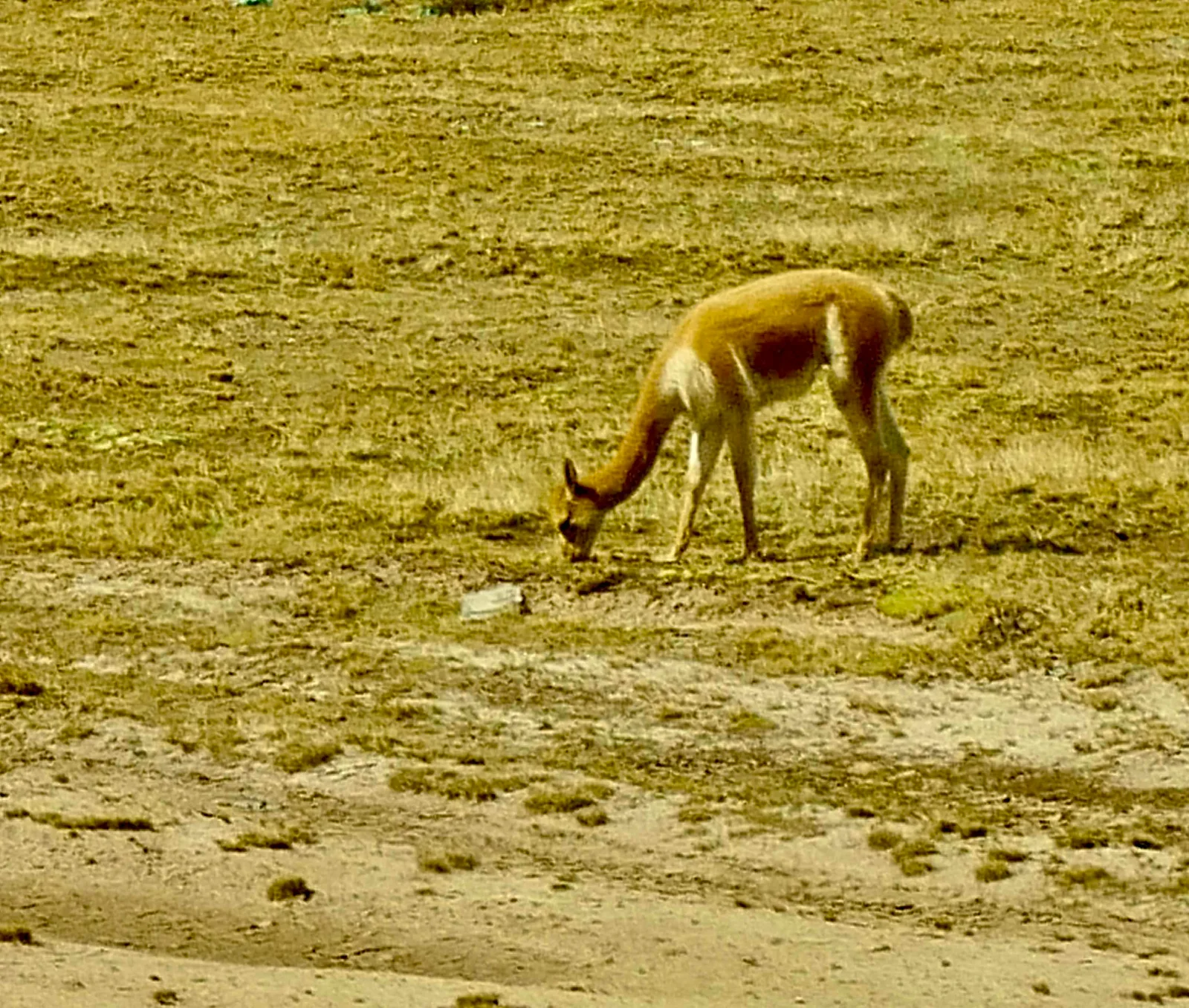
Thus far we had met llamas, taller with fur in shades of black and brown, and the dbler white alpacas with the soft coat that you wear, and down south the burly guanacos in Patagonia. And now these gentle deer-like dainty vicuñas. They are said to run fastest of all.

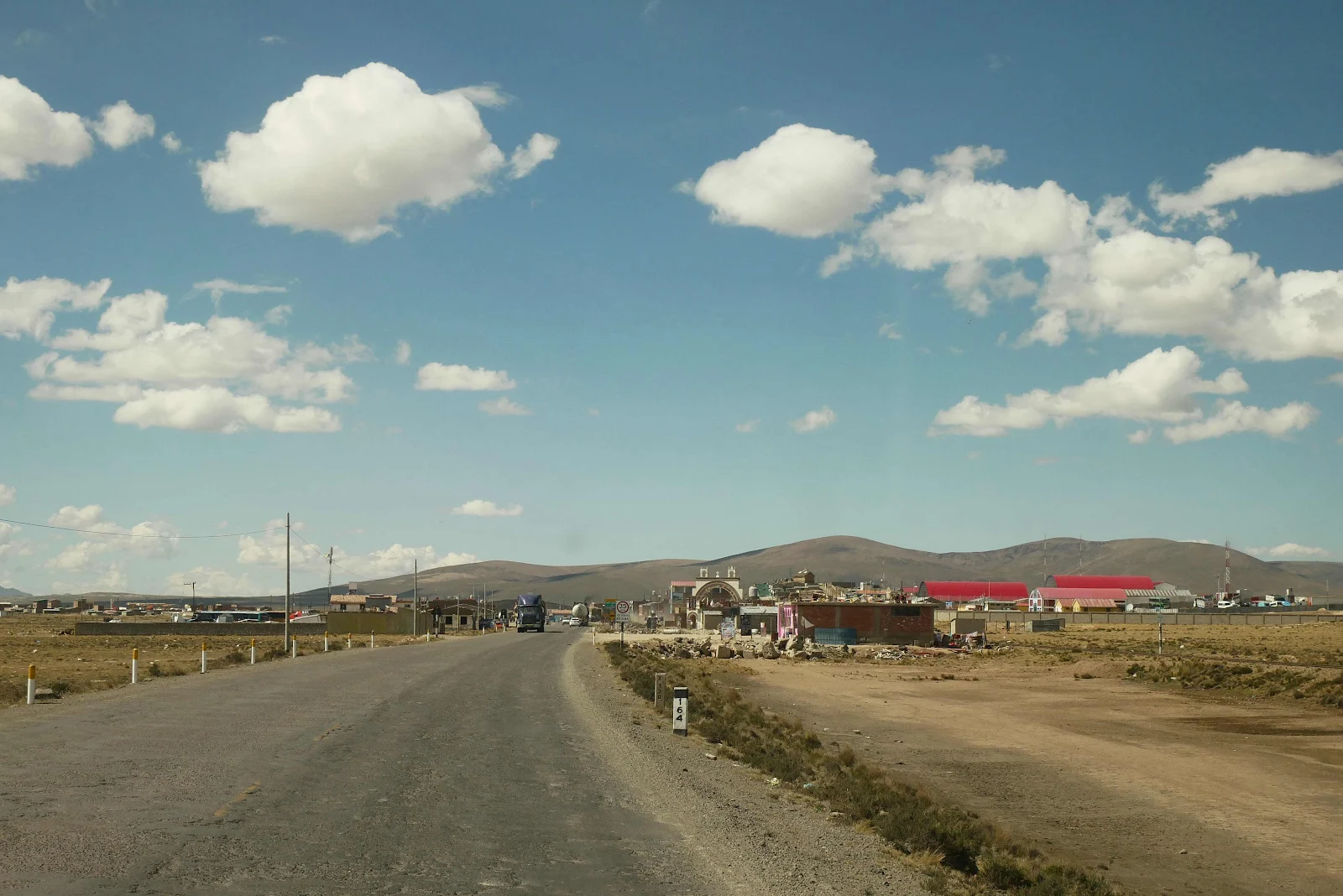
It’s a protected reserve for them but we drive through a small town or two up there in the high plains of the vicuña.
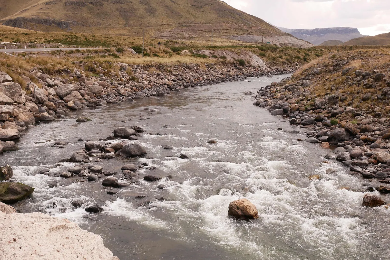
The town of Imata on the River of the sand band next to a bridge called…Imata.
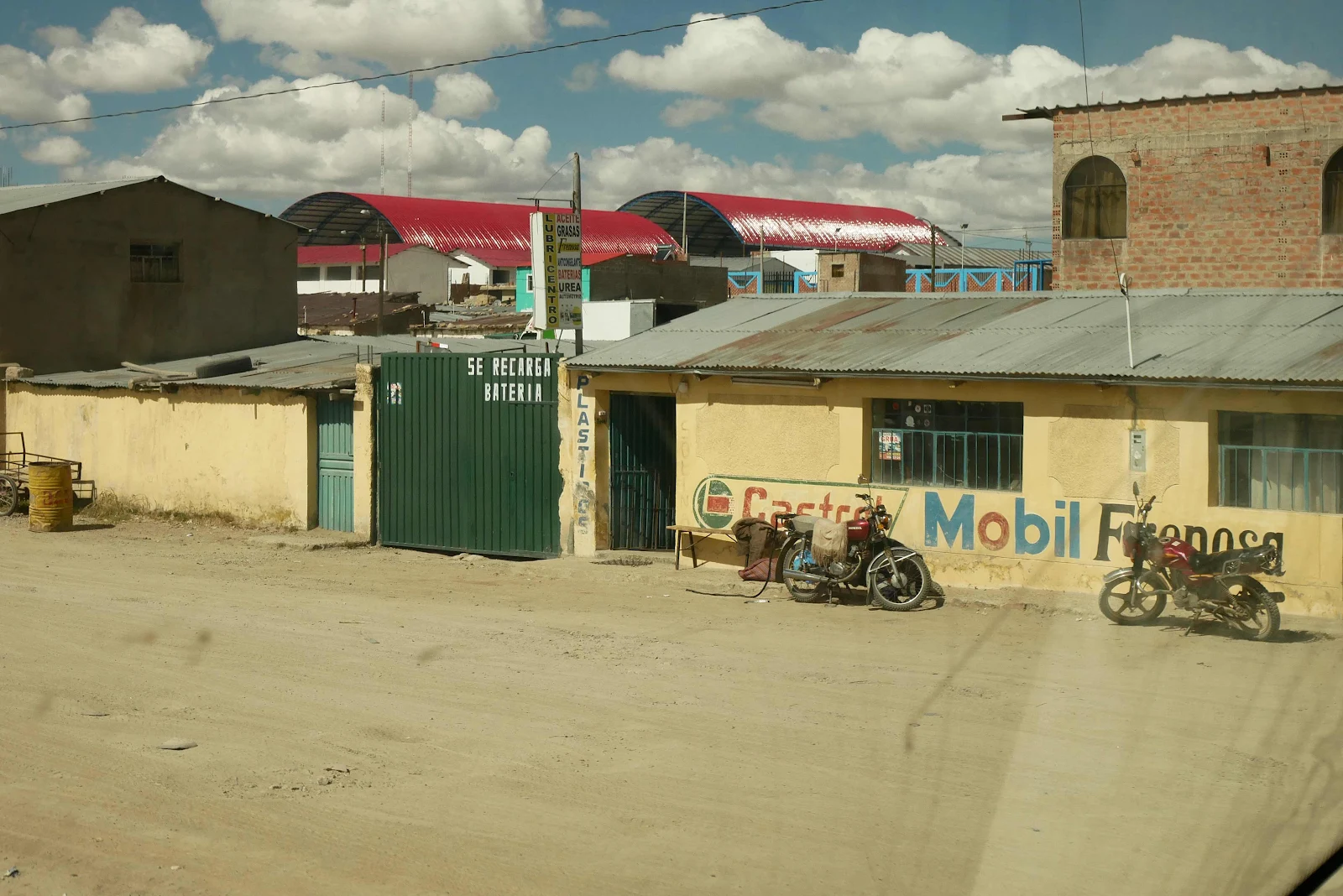
They will fix your bike and charge your batteries here. We had a pretty decent phone signal up here which surprised me. It didn’t last of course.
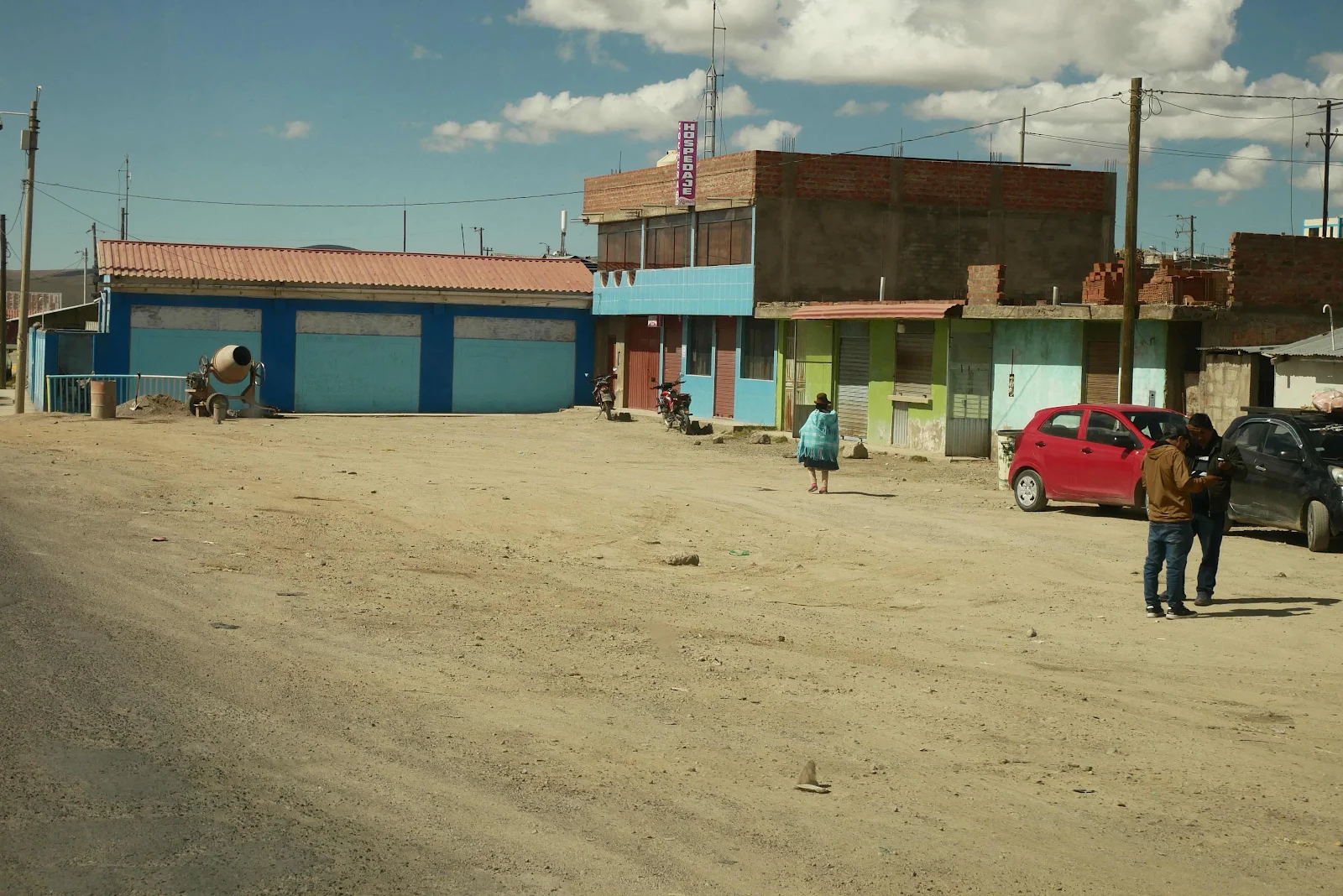
A hotel (“hospedaje “):
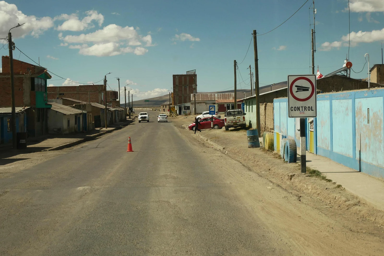
A cone but no police; we breezed on through. There was also supposed to be a fruit checkpoint but that wasn’t staffed either.
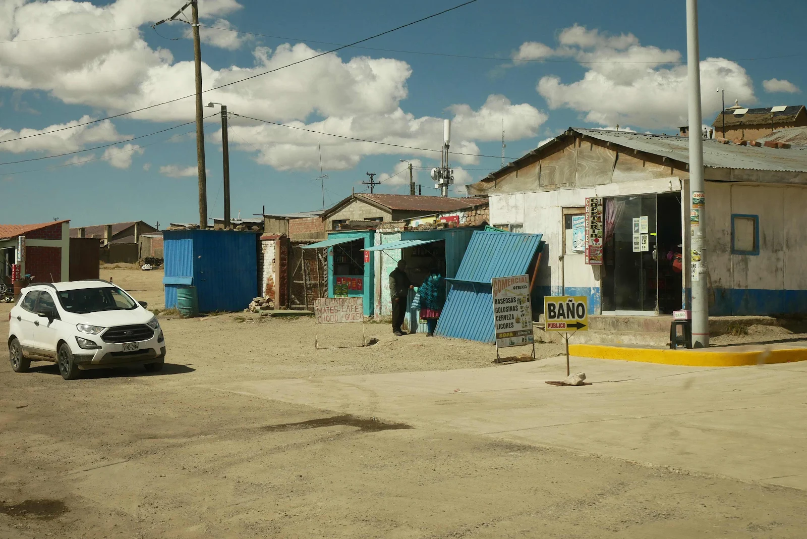
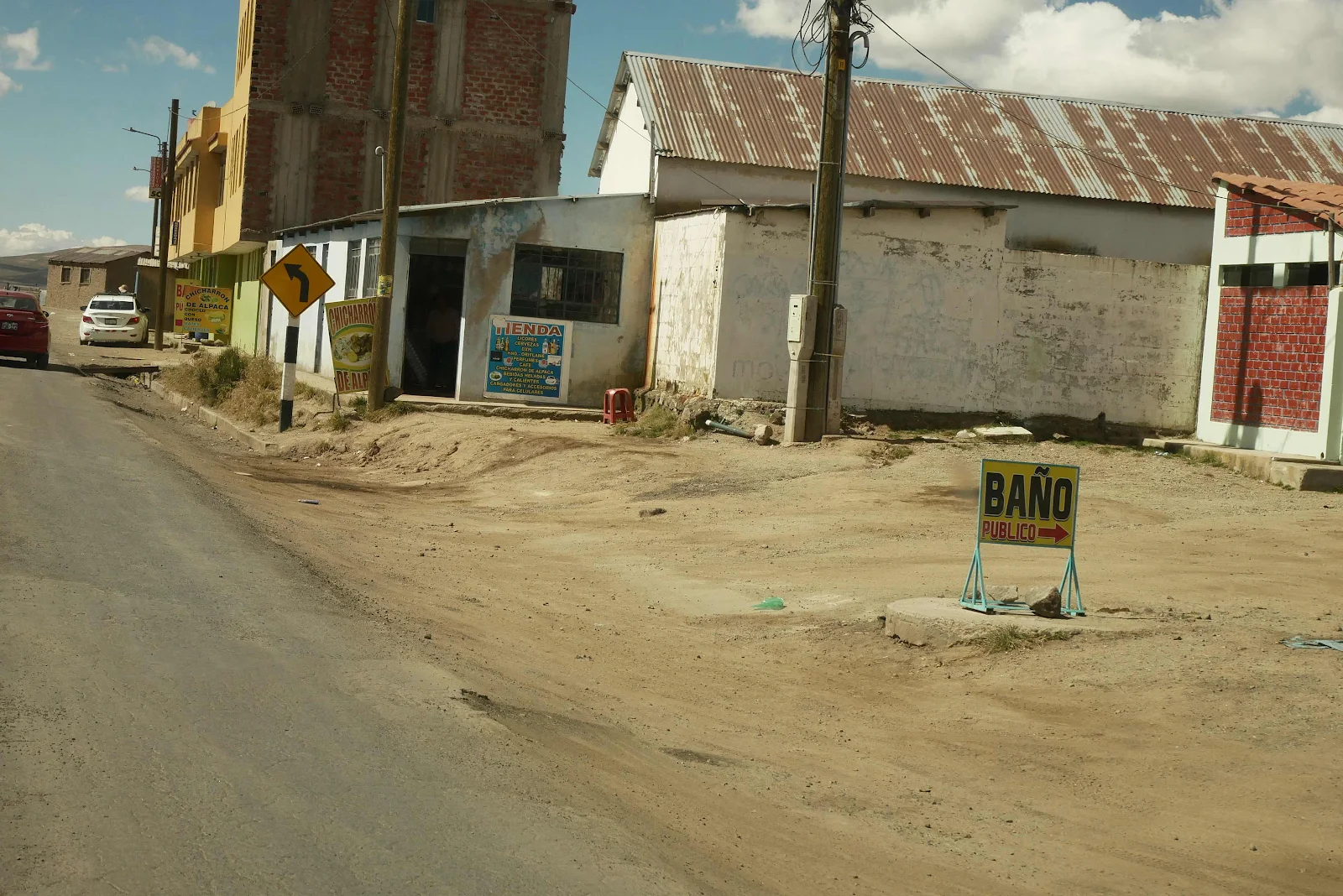
If you need a toilet this town is for you:
And here you can get fried alpaca chunks. A street vendor sold us a bag of meat chunks, nicely spiced with a boiled potato and boiled corn in a plastic bag. It was delicious d Pugh I forgot to photograph it.
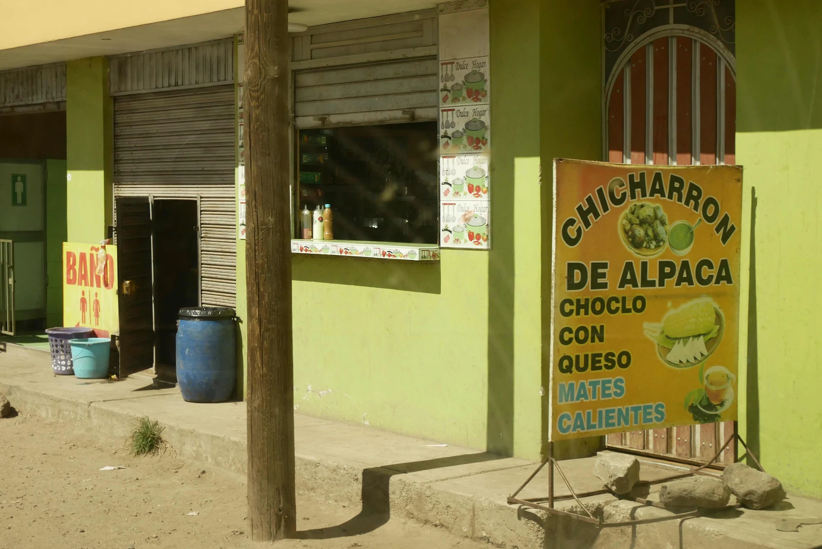
But the meat chunks were wrapped around suspiciously small bones. It was not at all handy and could have been beef but I am pretty sure it was alpaca. It seems odd eating these animals but it’s a case of what you are used to. And they live well.
The altiplano:
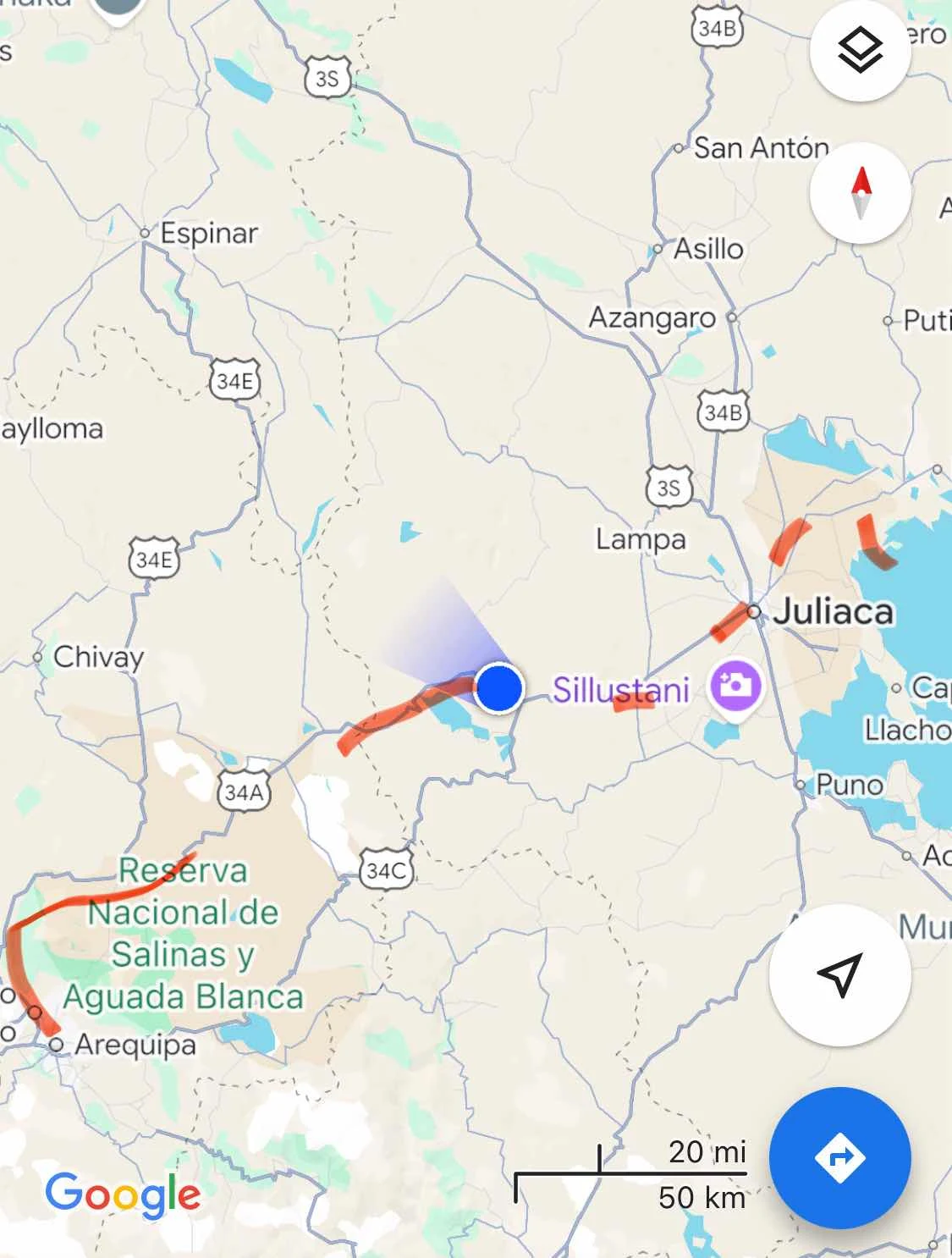
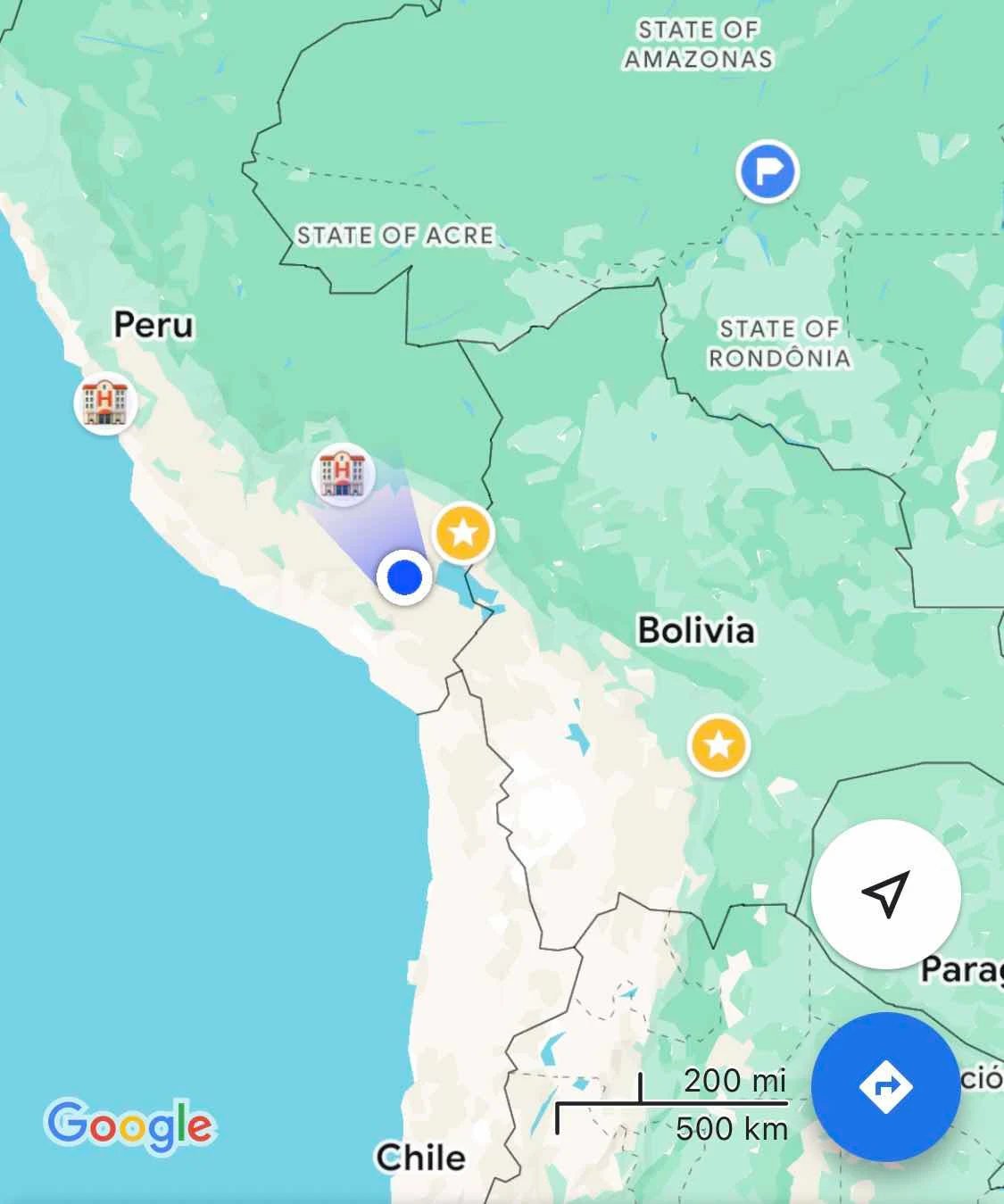
Bolivia is off to the right in the map below. The Pacific Ocean is off the bottom and Lima the capital is a long way off to the left.
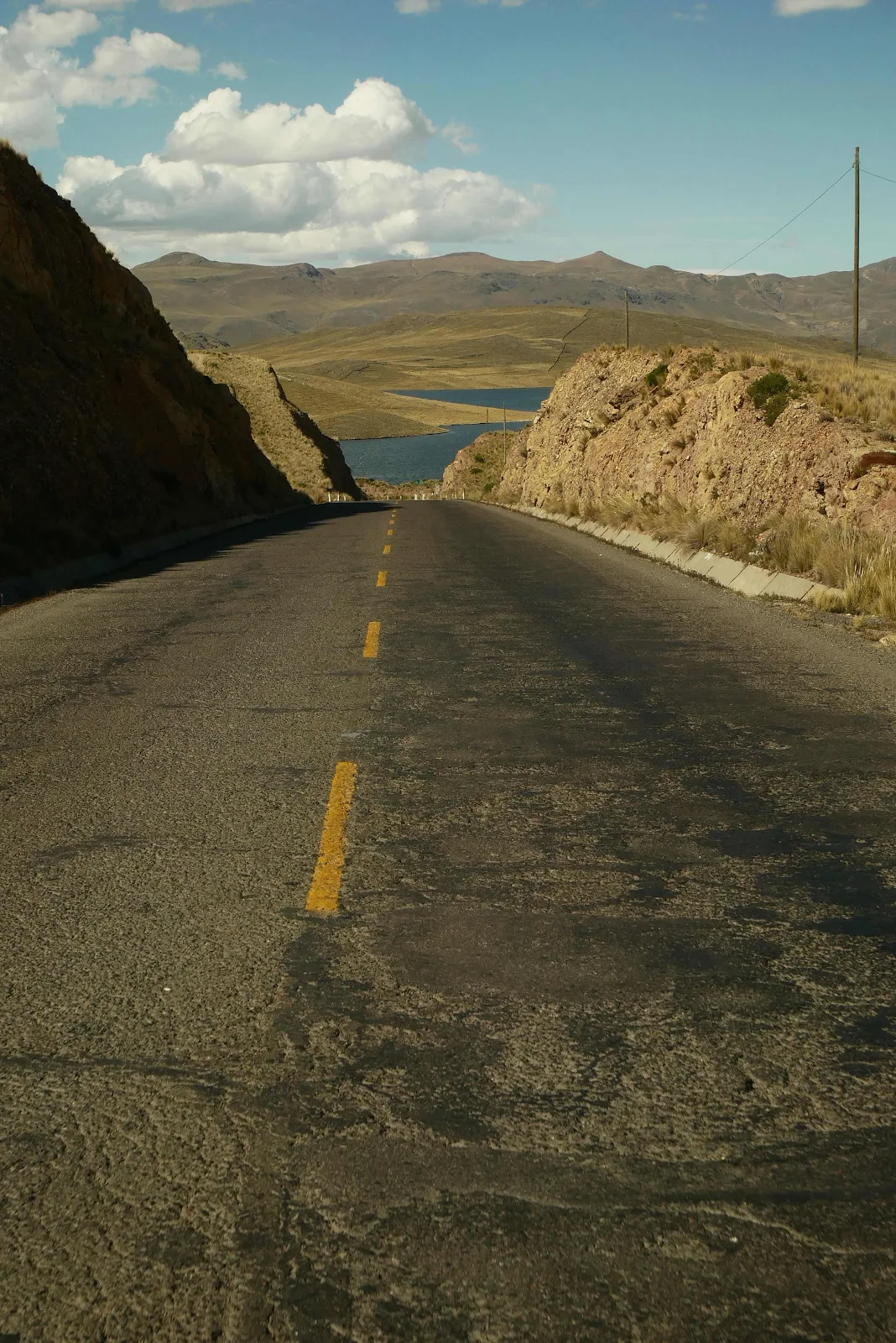
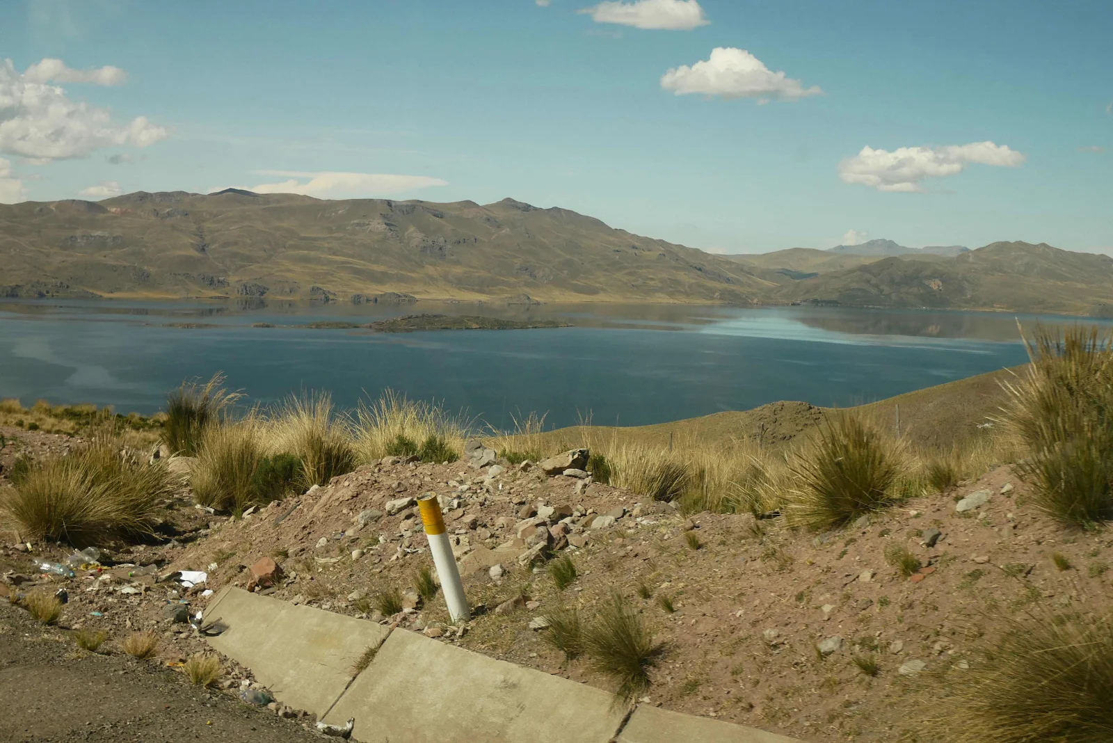
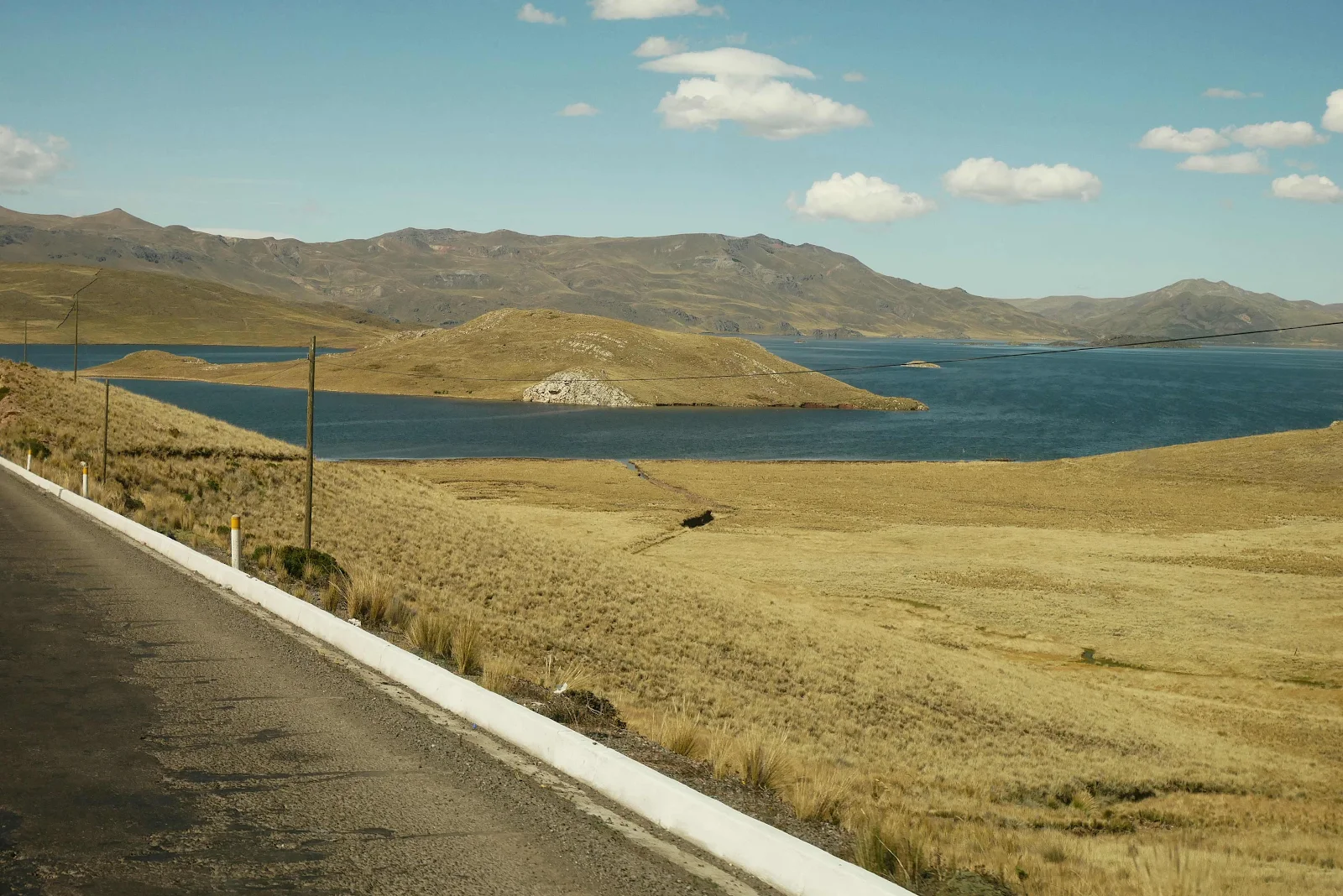
Laguna Lagunillas:
There were a couple of iOverlander spots on the lake but one was a goat track for bicycles and the other looked great but campers were not wanted obviously:
Not clear in the photo is the Eire across the entrance. We drove on.
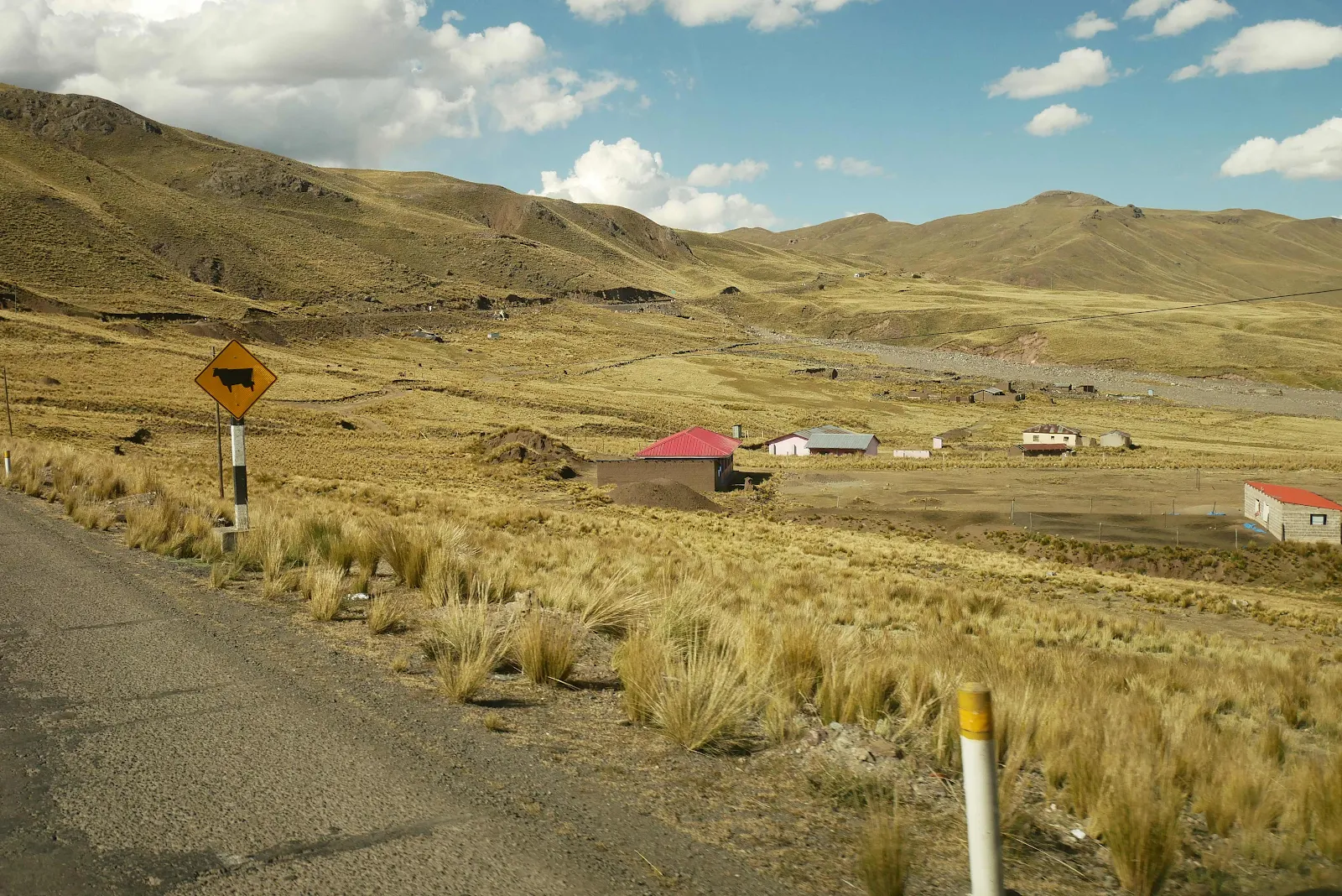
We went through an inhabited patch with farmhouses, men and women and their dogs by the road doing things that looked like hanging around waiting for a bus to me.
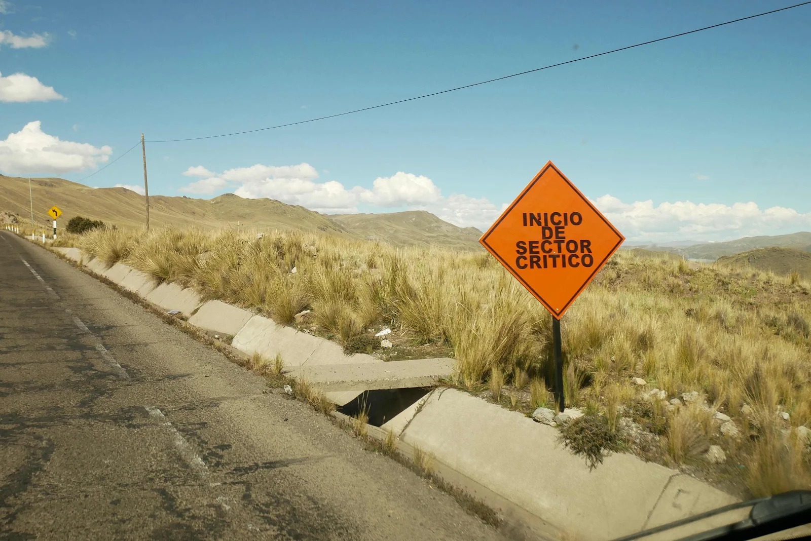
I can’t imagine enjoying living in this wilderness but just to make it better we drove through a critical zone. Actually the road was no better or worse in this area where flooding had torn down the hillside.
14,000 feet, 60 degrees and sunshine dappling the hillsides. Despite me getting grumpy about this crap road we both appreciated how specialist strange landscape really is.
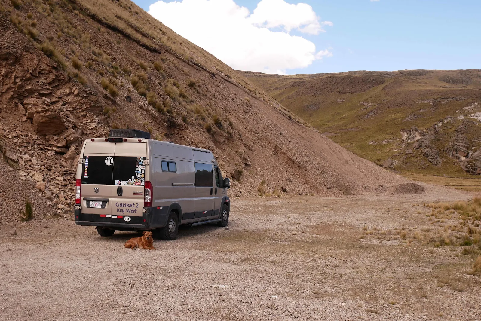
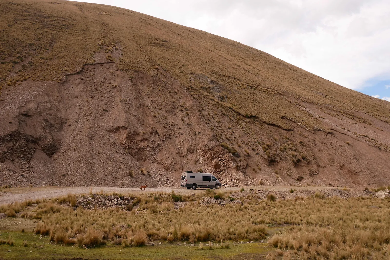
We found another place to stop, and even though it was 2:30, three hours to total darkness we were ready to take a break for the night. We were 86 miles from the place wanted to camp on the lakeshore but on this road that could be four hours of exhausting bouncing.
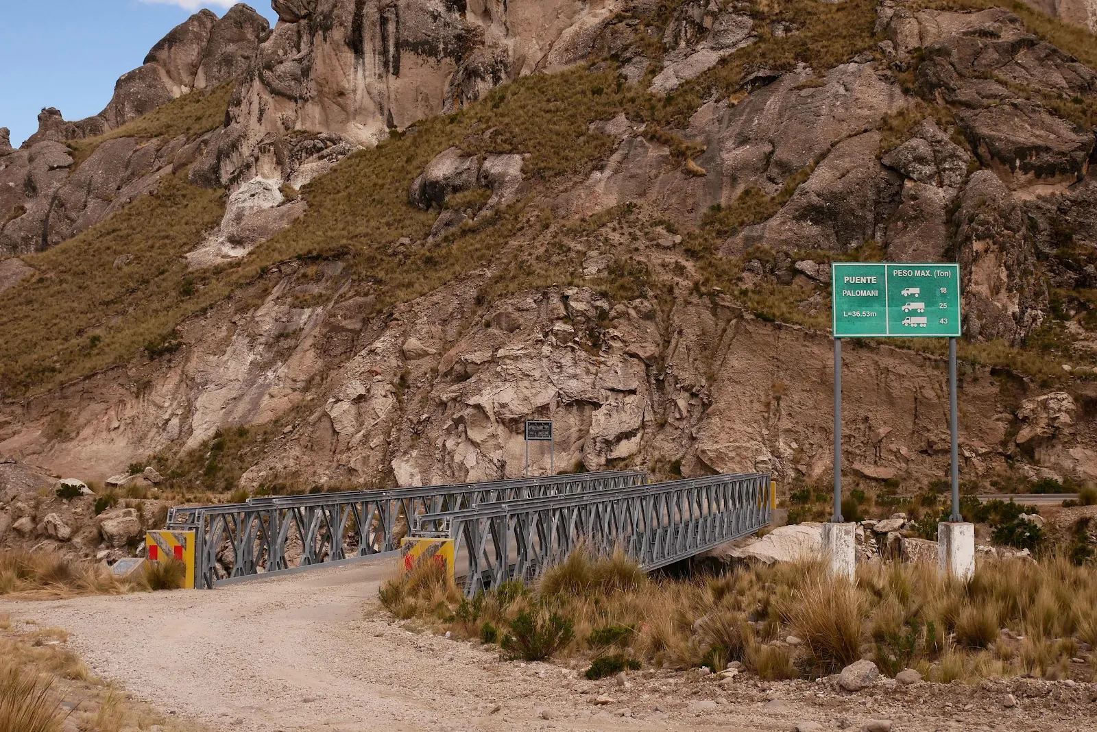
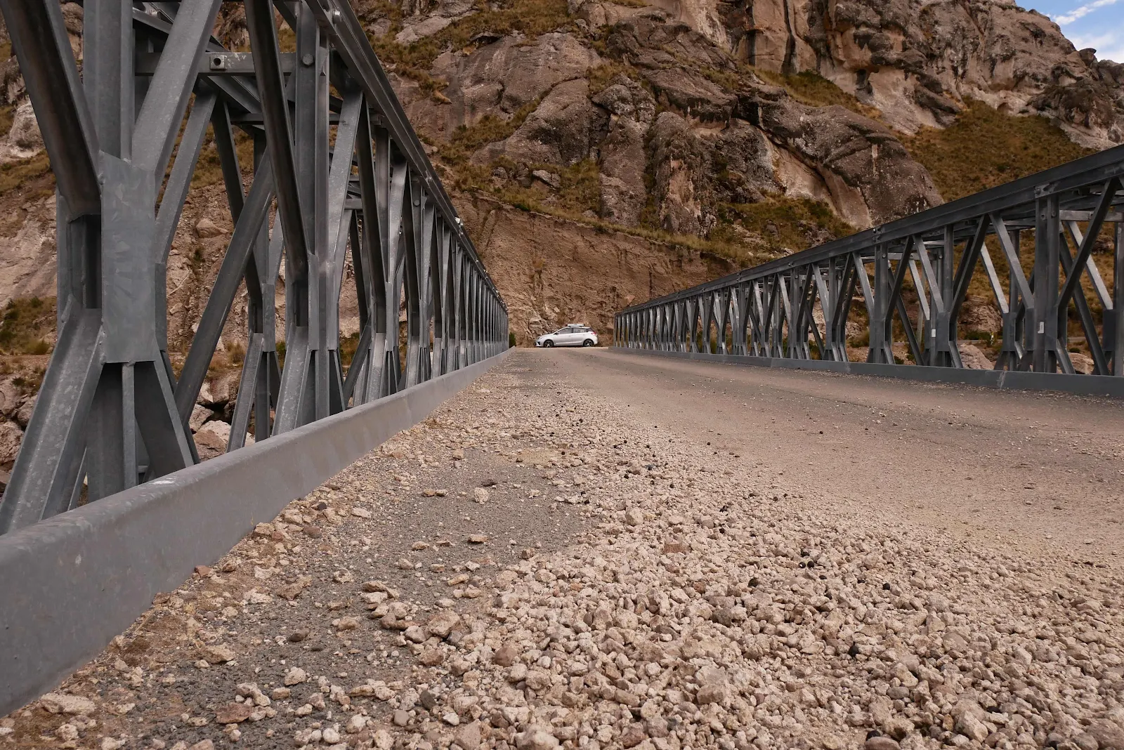
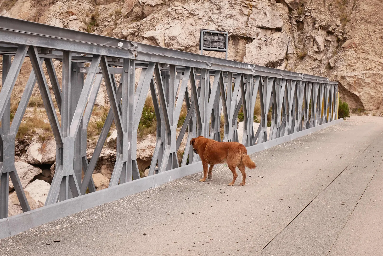
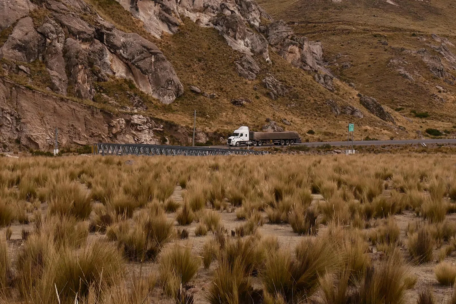
Access was via this rather splendid “temporary” bridge installed in 2016. The car below is on Highway 34A.
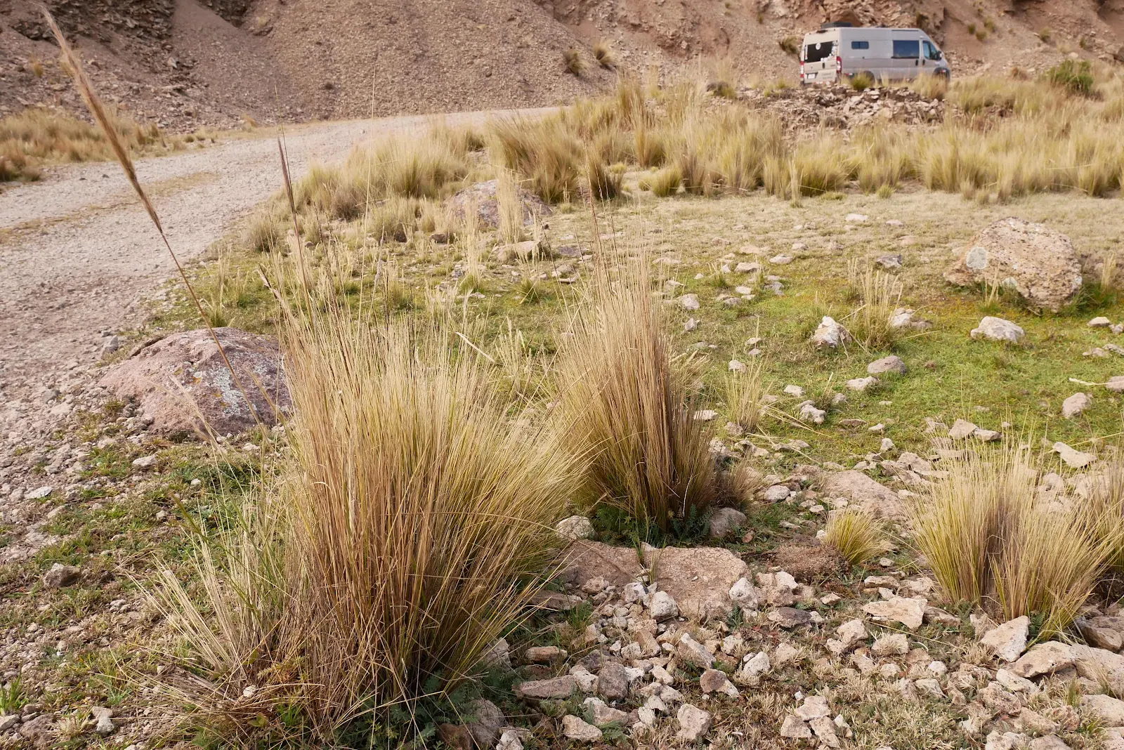
We rumbled up the hard packed dirt track and in a few minutes we were parked on level ground.

Rusty and I went for a walk among the strange tussocks of grass that the guanacos had vicuñas call lunch. They remind me of boggy Scottish landscapes minus the bogs and the heather. If you see what I mean.
He enjoyed looking around.
So did I.
This wild camp has easy access.
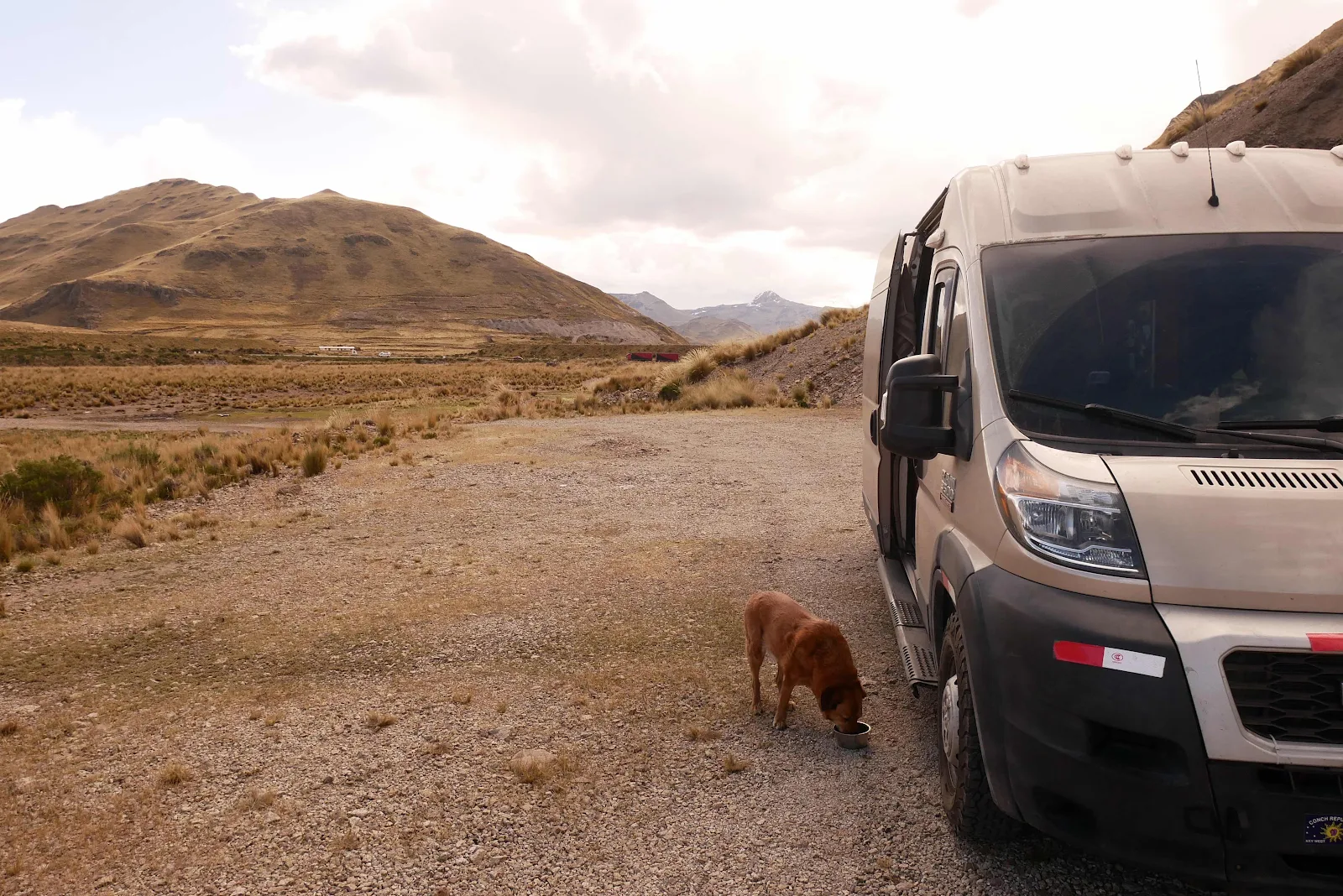
I could see rain building in the distance and sure enough it fell on us later, not a lot but enough to make us feel snug as we ate Layne’s homemade pizza for dinner.
We could hear the trucks a quarter mile away on the highway late into the night.
Cerro Hermoso (“pretty hill”) behind our flat spot for the night.
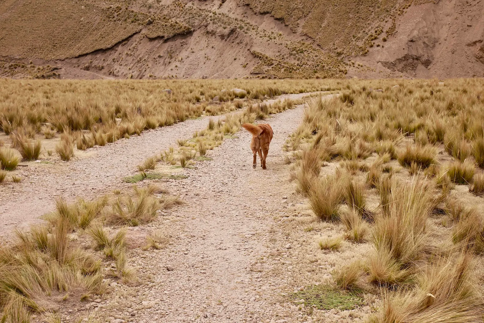
Rusty got roast chicken and hot dogs and kibbles for dinner. He sat out for a while sniffing the air blowing across the altiplano. He snored deeply into the night filling GANNET2 with a sense of peace after that horrid road.
Happy dog. He’s come a long way from South Florida and he loves the fresh cold mountain air. We love living with him on the road.