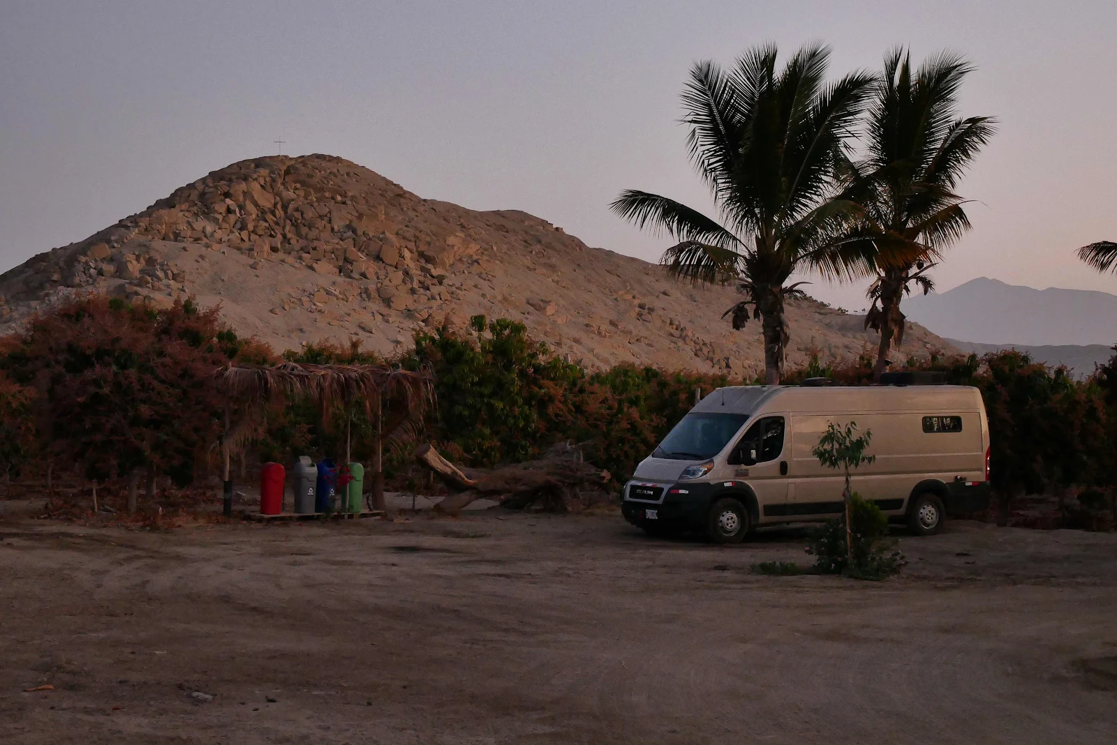
Sunday we drove five hours from the mountains to the sea. We took Highway 14 from the town of Huaraz to a campground located on a mango farm at a mere 400 feet elevation just two miles from the coast highway 
The town of Huaraz sits in the valley under the mountain range and it enjoys a rather poor reputation. There is no campsite for travelers and vehicle break ins have been reported in the past six months so we decided not to stop to pick up any groceries there.
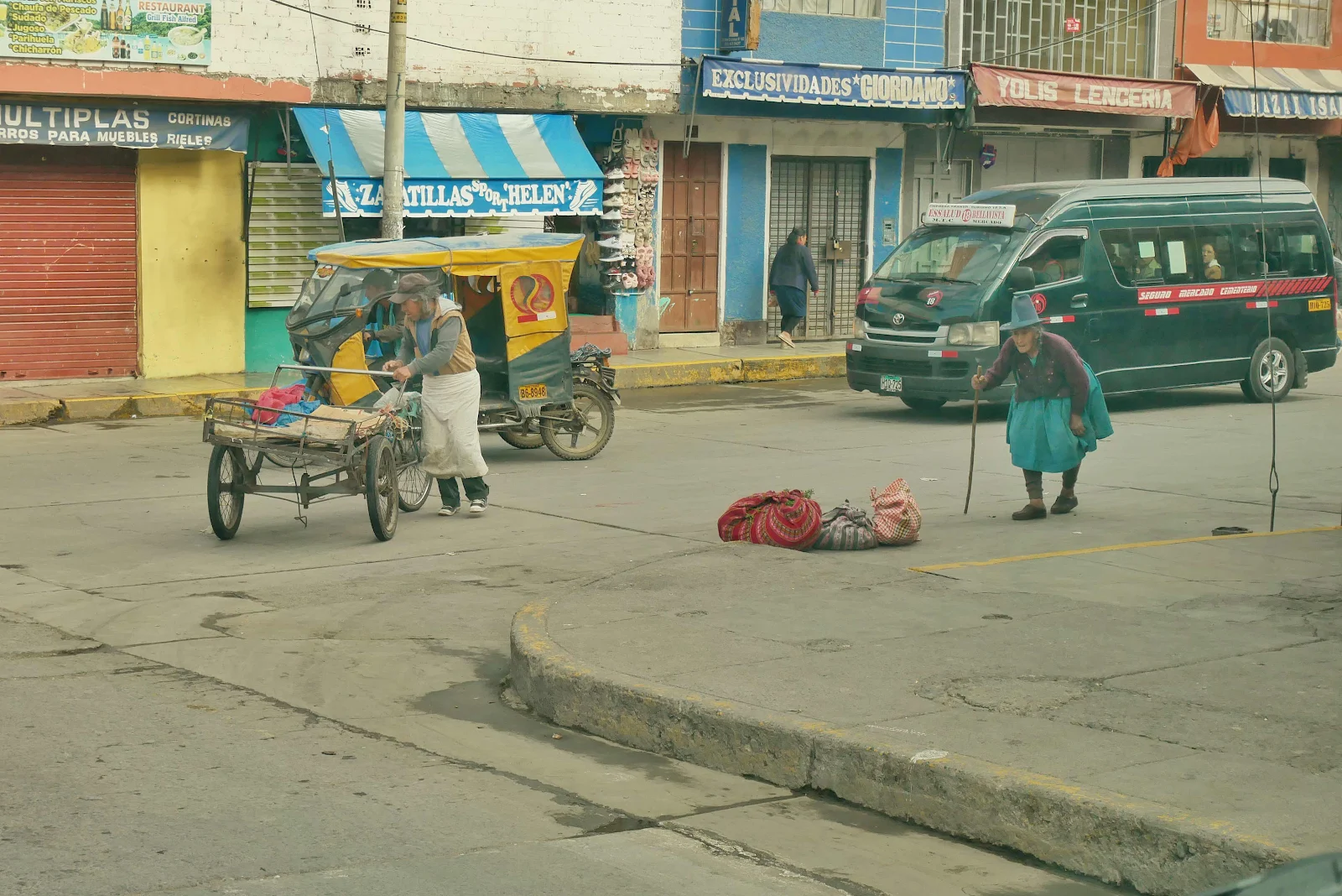
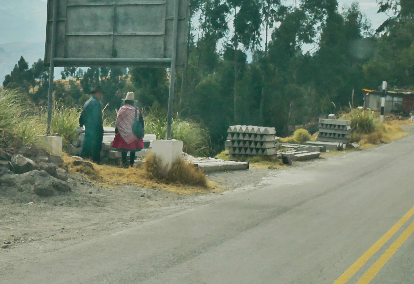
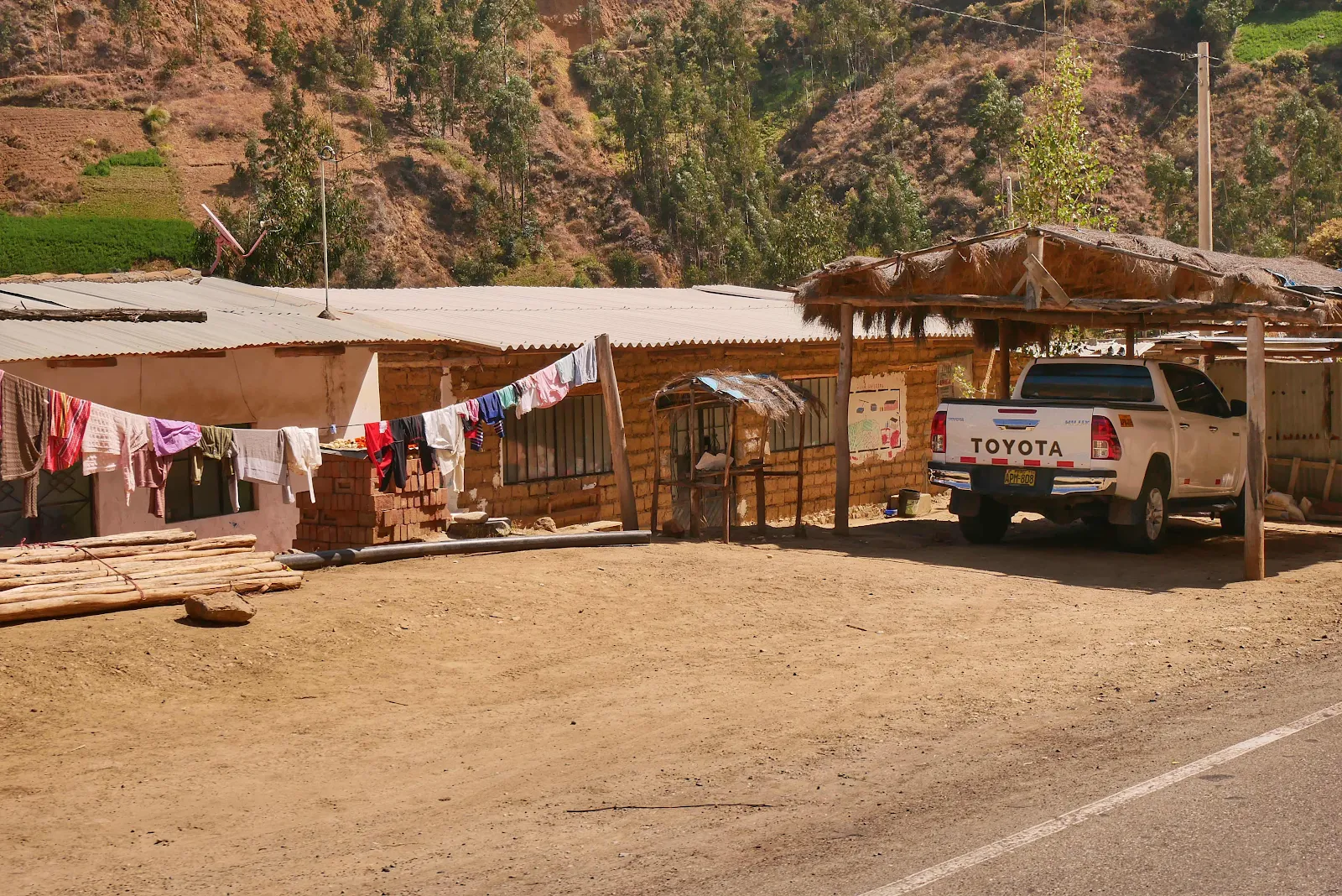
It was busy on a Sunday morning but it looked pretty much like any other Peruvian town and I found a spot to park near the supermarket but the towns reputation put Layne the intrepid shopper off so we kept going down the main drag.
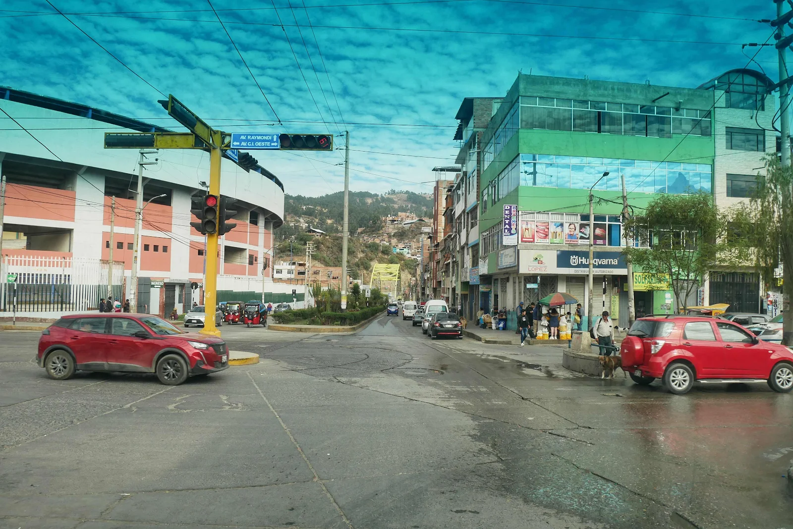
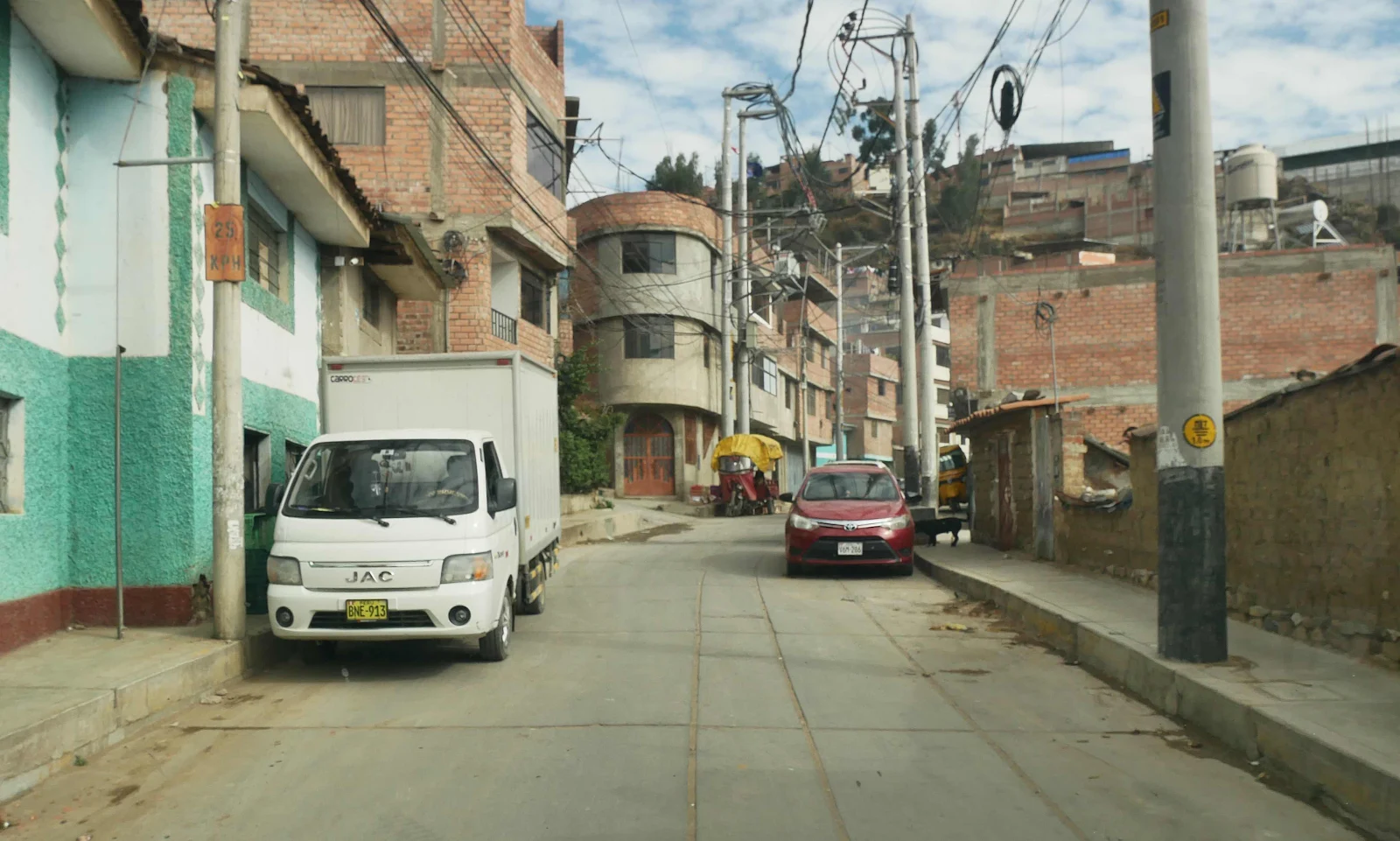
Google Maps took us up a slight back street probably because it looks shorter but of course by the time we realized we were picking our way through a back street… there we were dodging parked vehicles pedestrians and dogs. The usual.
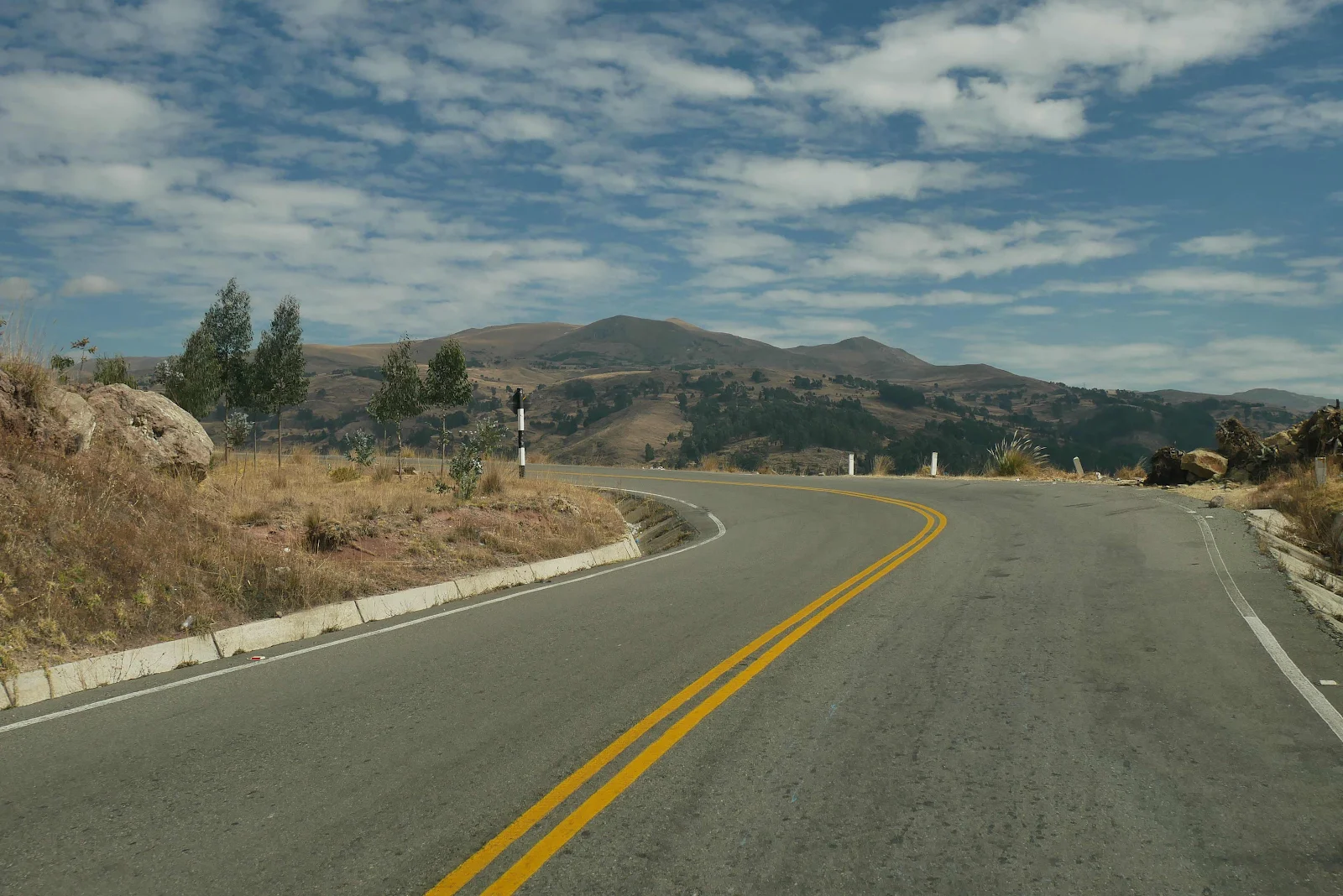
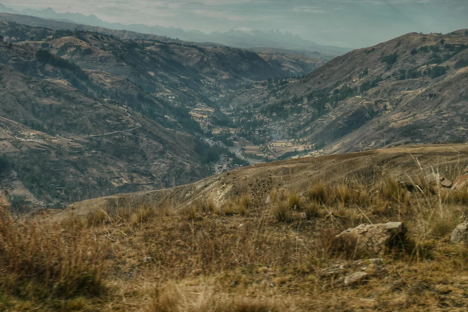
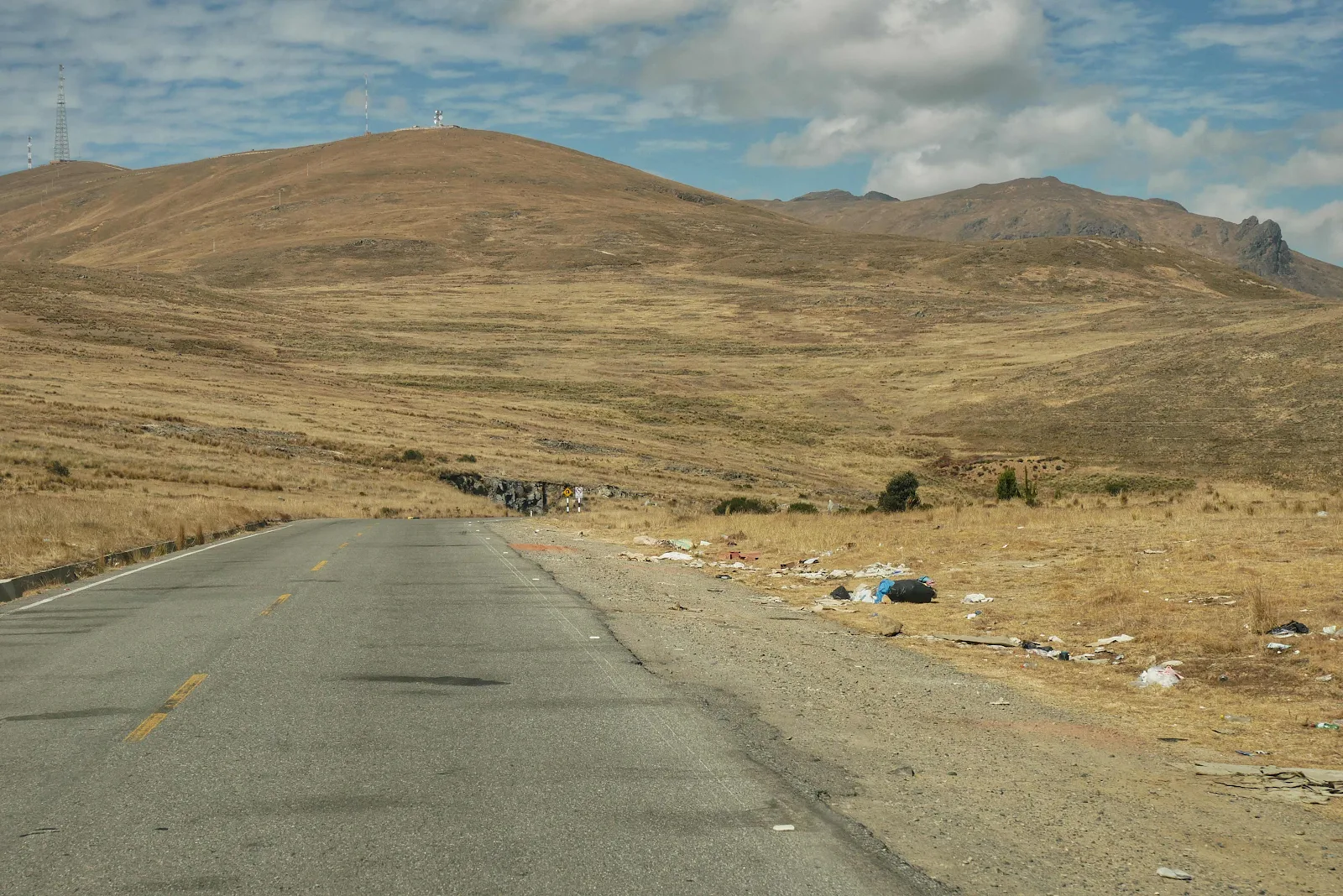
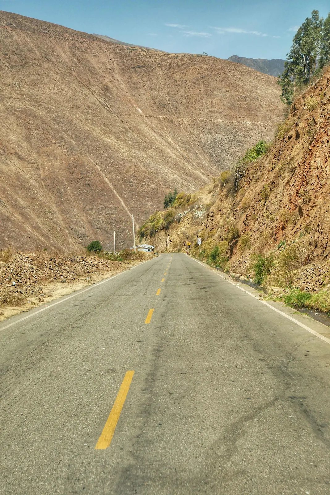
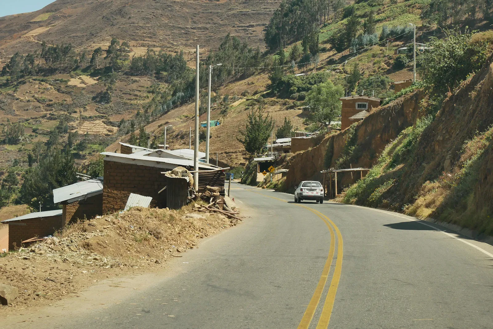
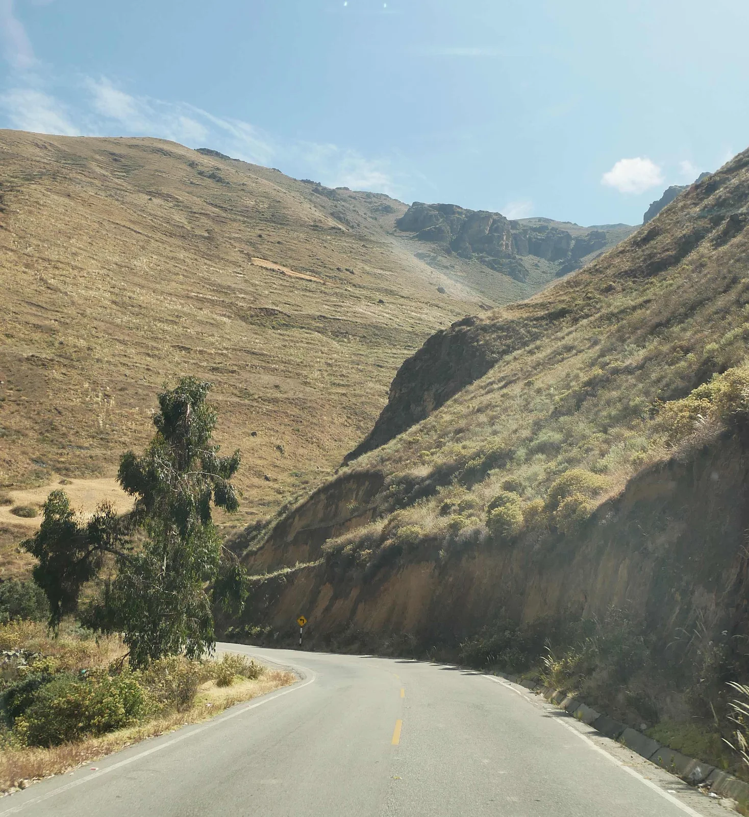
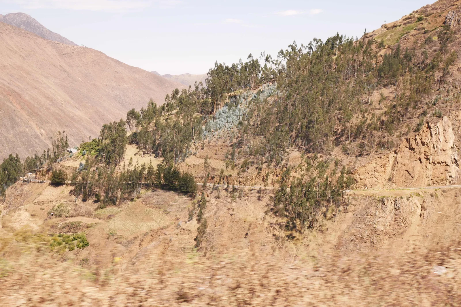
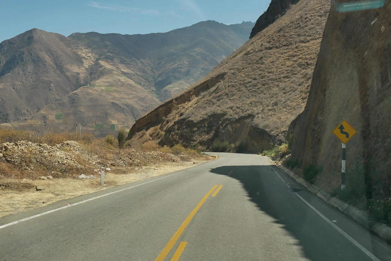
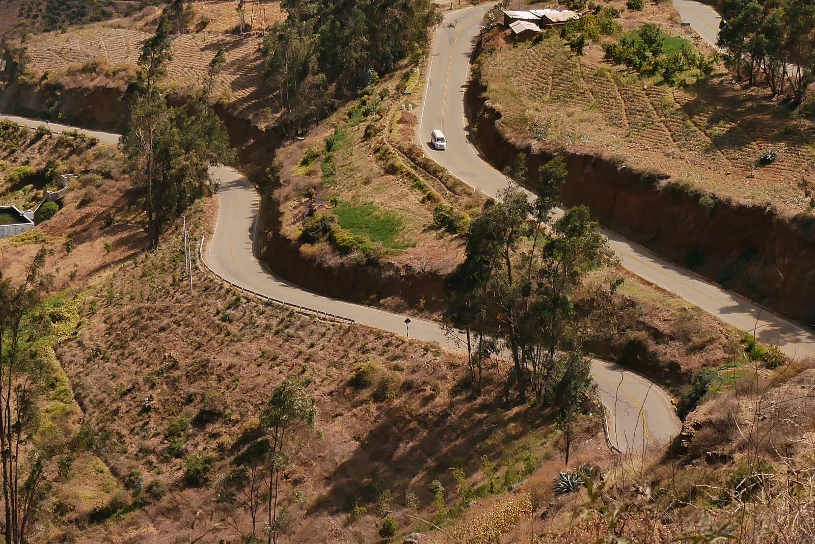
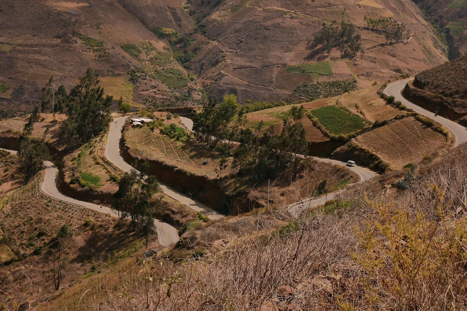
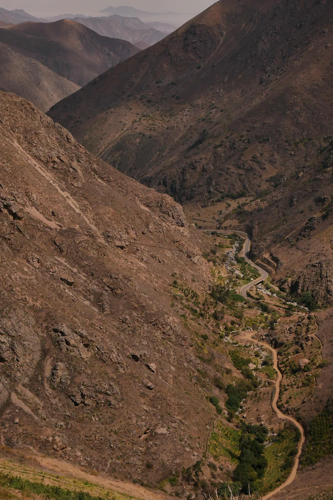
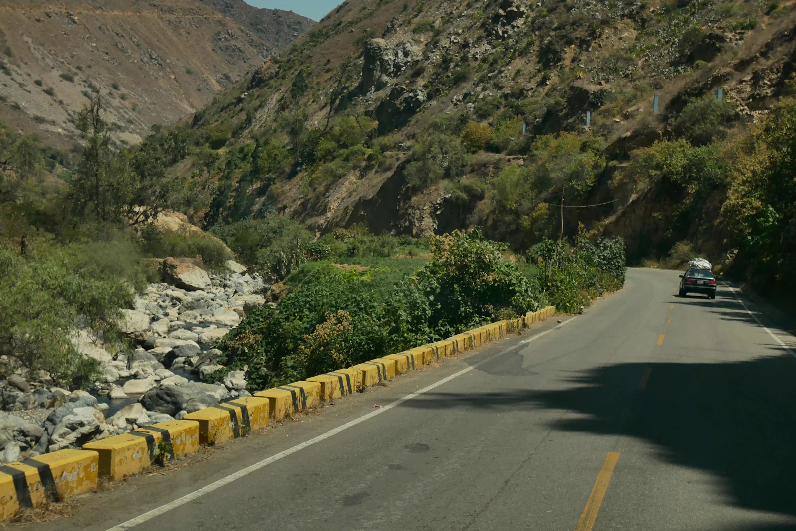
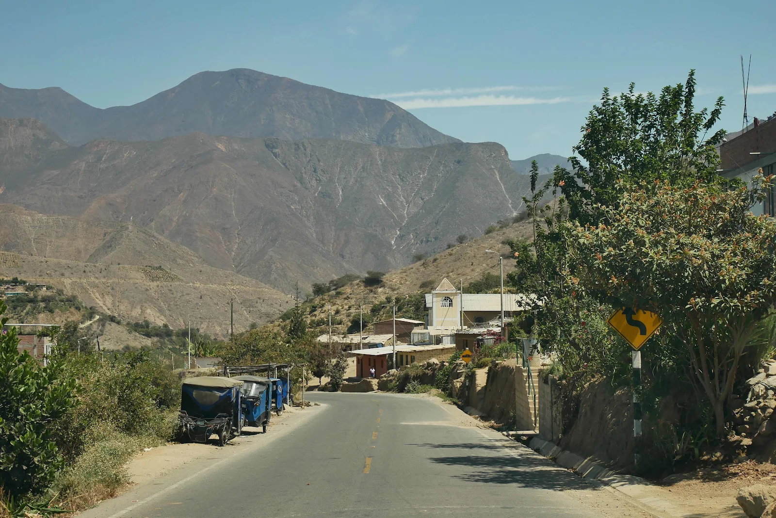
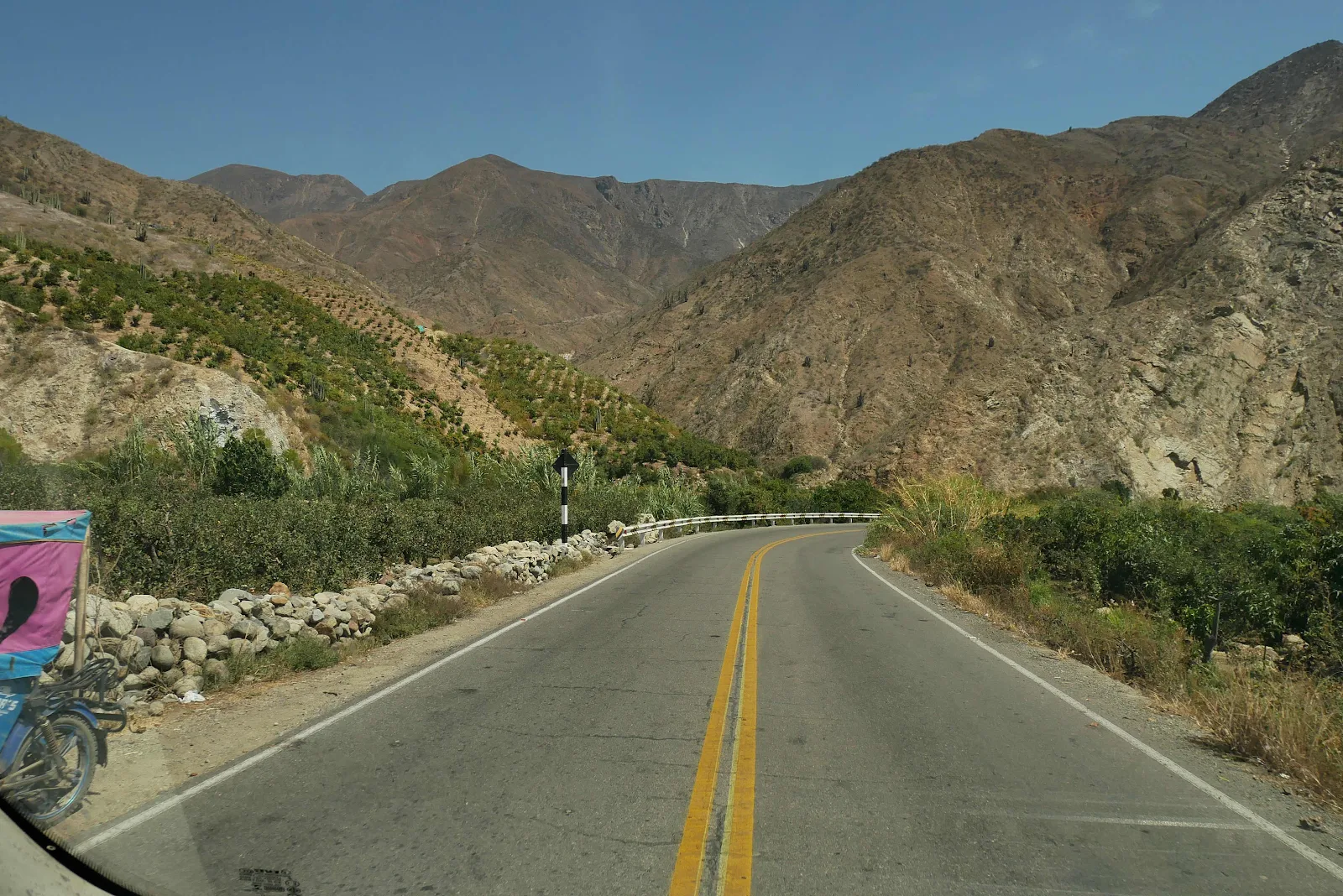
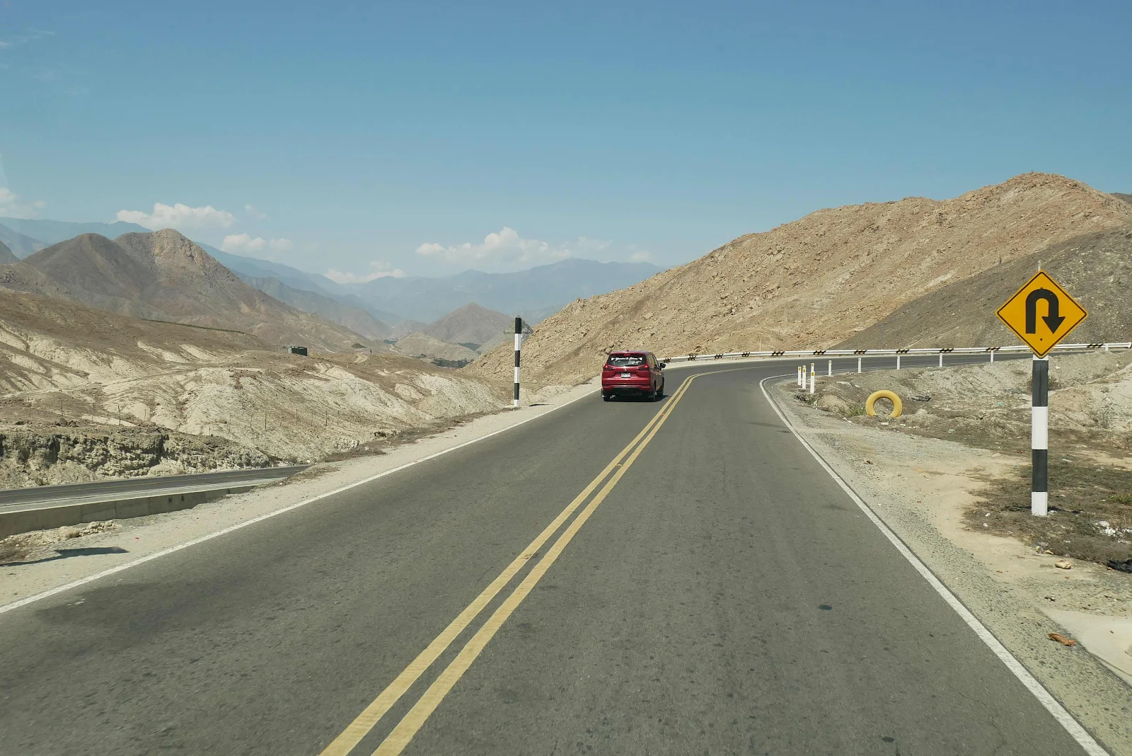
We’d been told Highway 14 was a smooth ride to the coast and for the most part it was just that. There were some rough bits where rains had caused slides but it was a great road with a nice grade. I enjoyed it and watching the altitude shrink was really nice but only after we hit the high pass above the city.
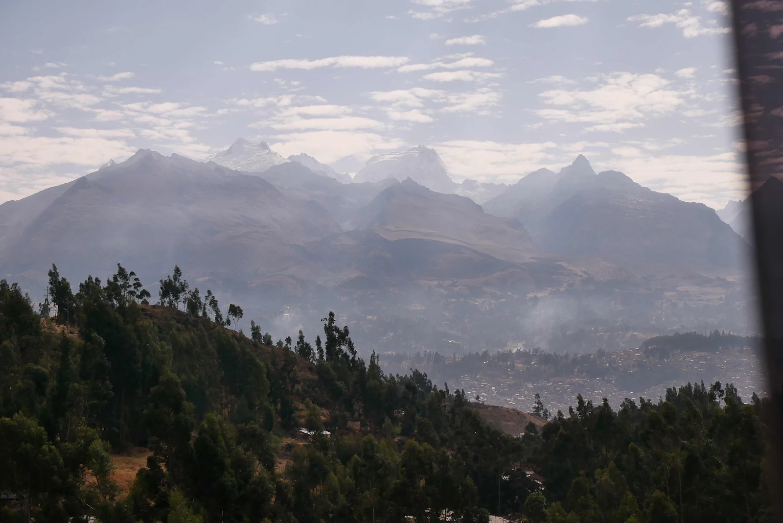
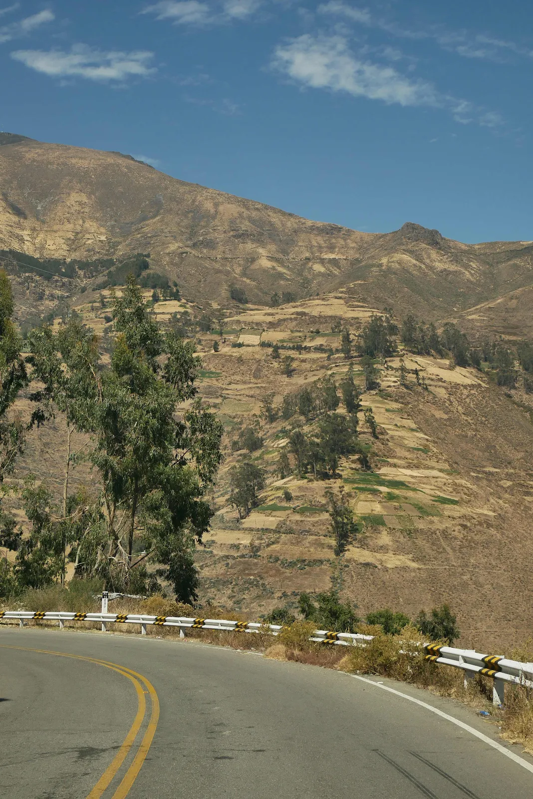
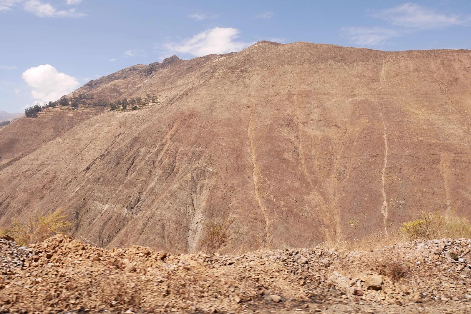
The White Mountains across the valley are called that as they are taller and thus capped with snow year round. On this the western side we have the Cordillera Negra, the Black Mountain Range with no snow.
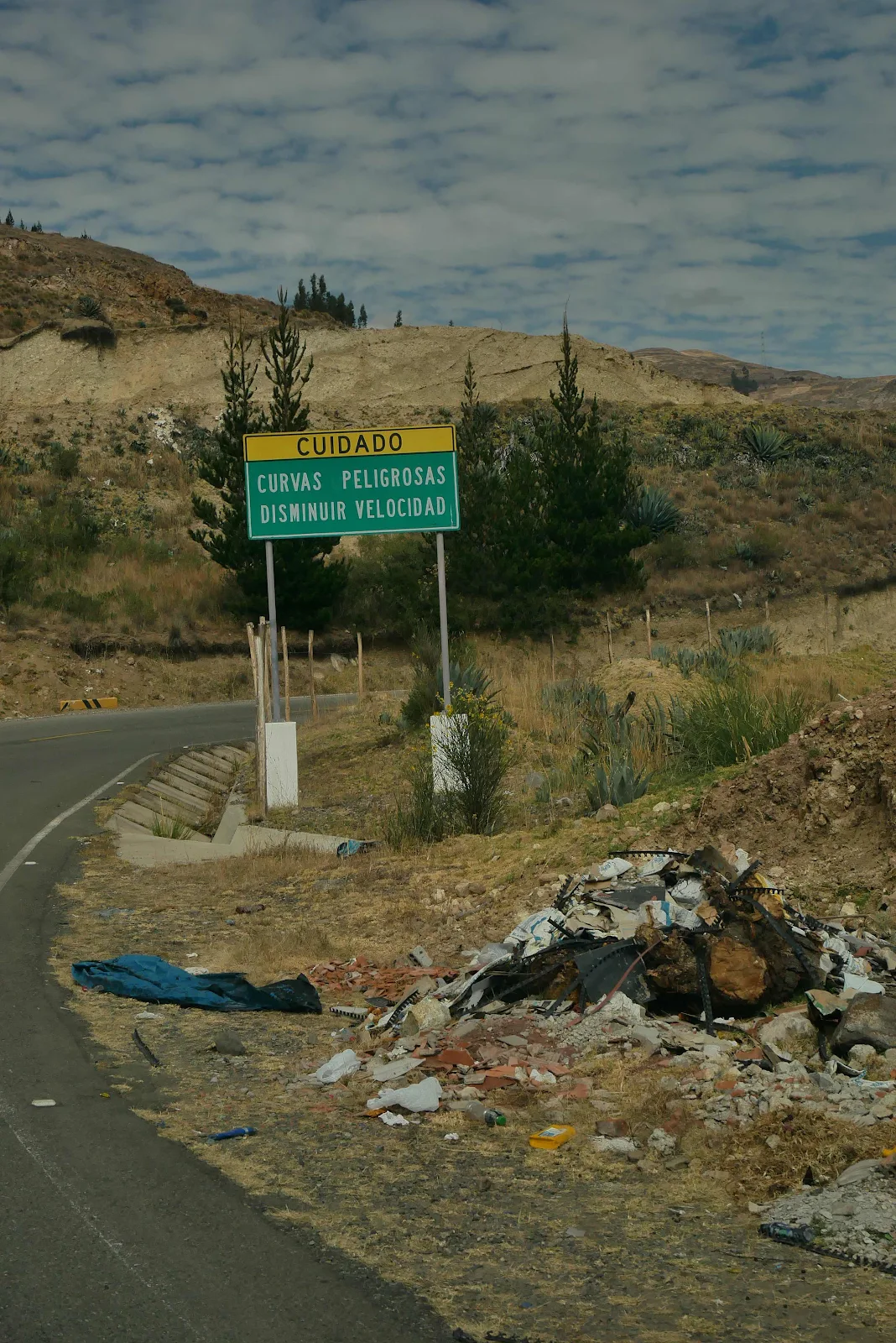
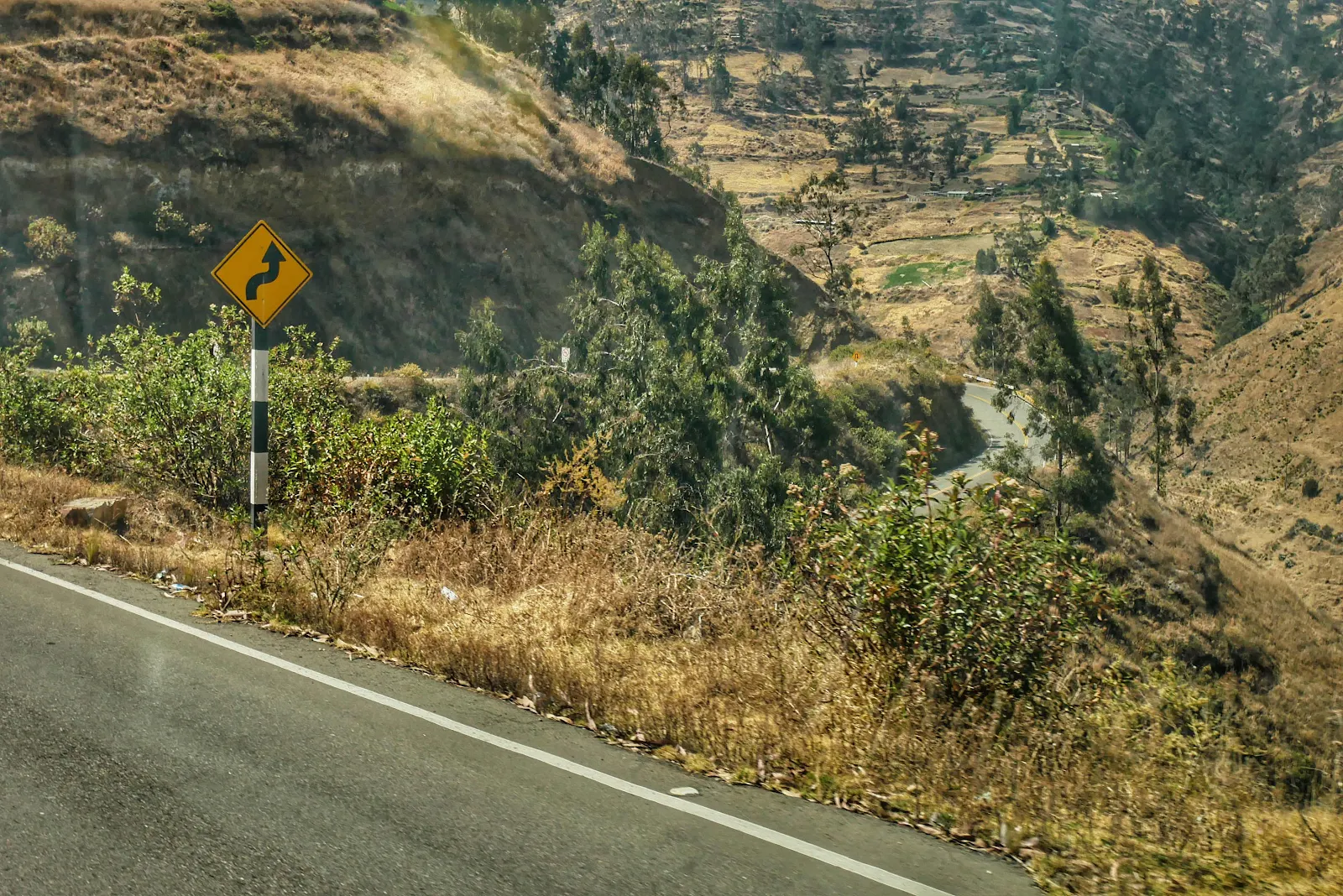
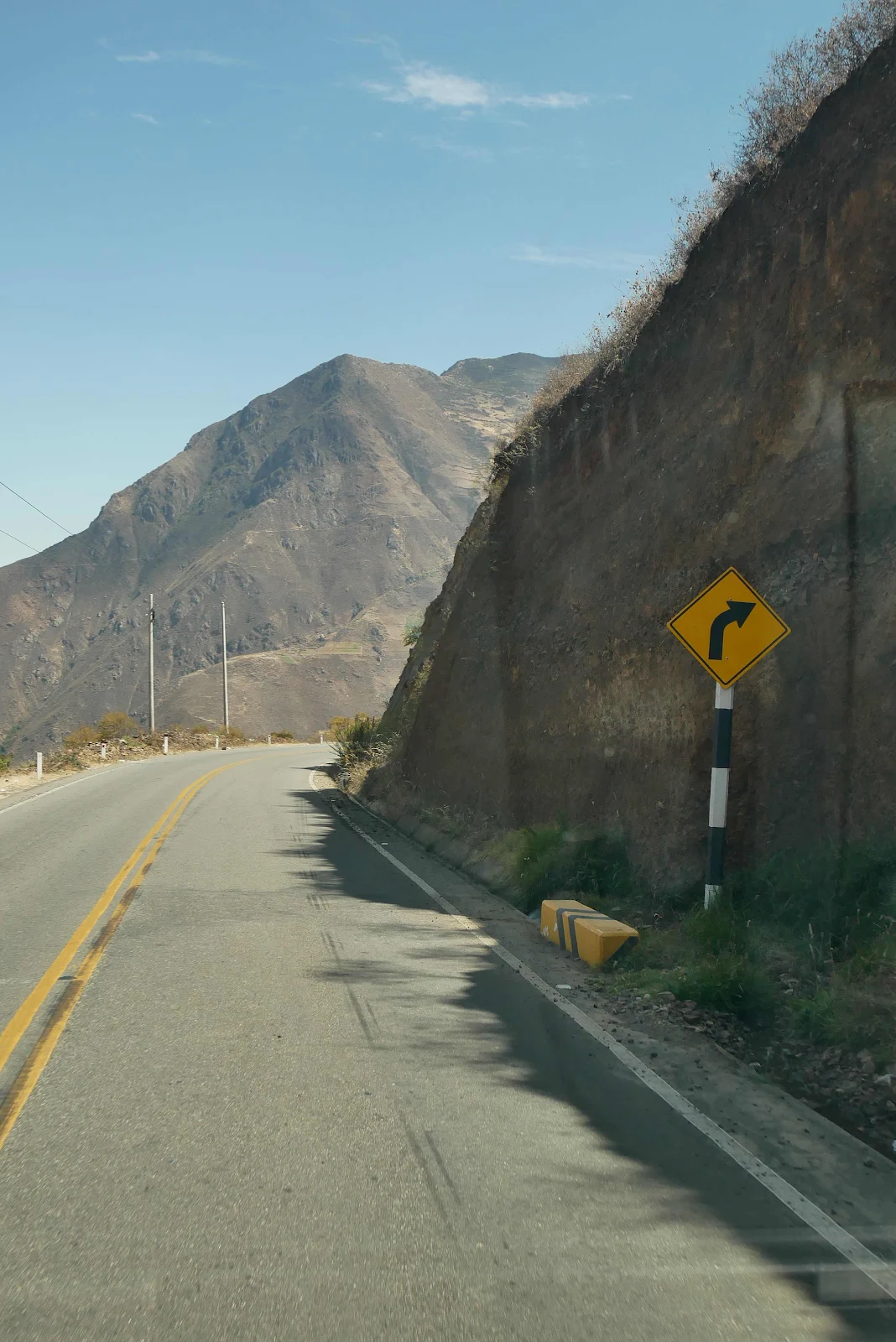
Caution: Slow Down Dangerous Curves Ahead. Yes well obviously.
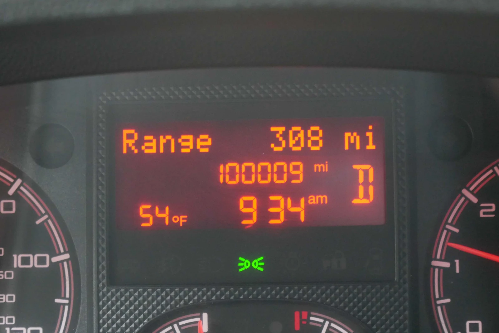
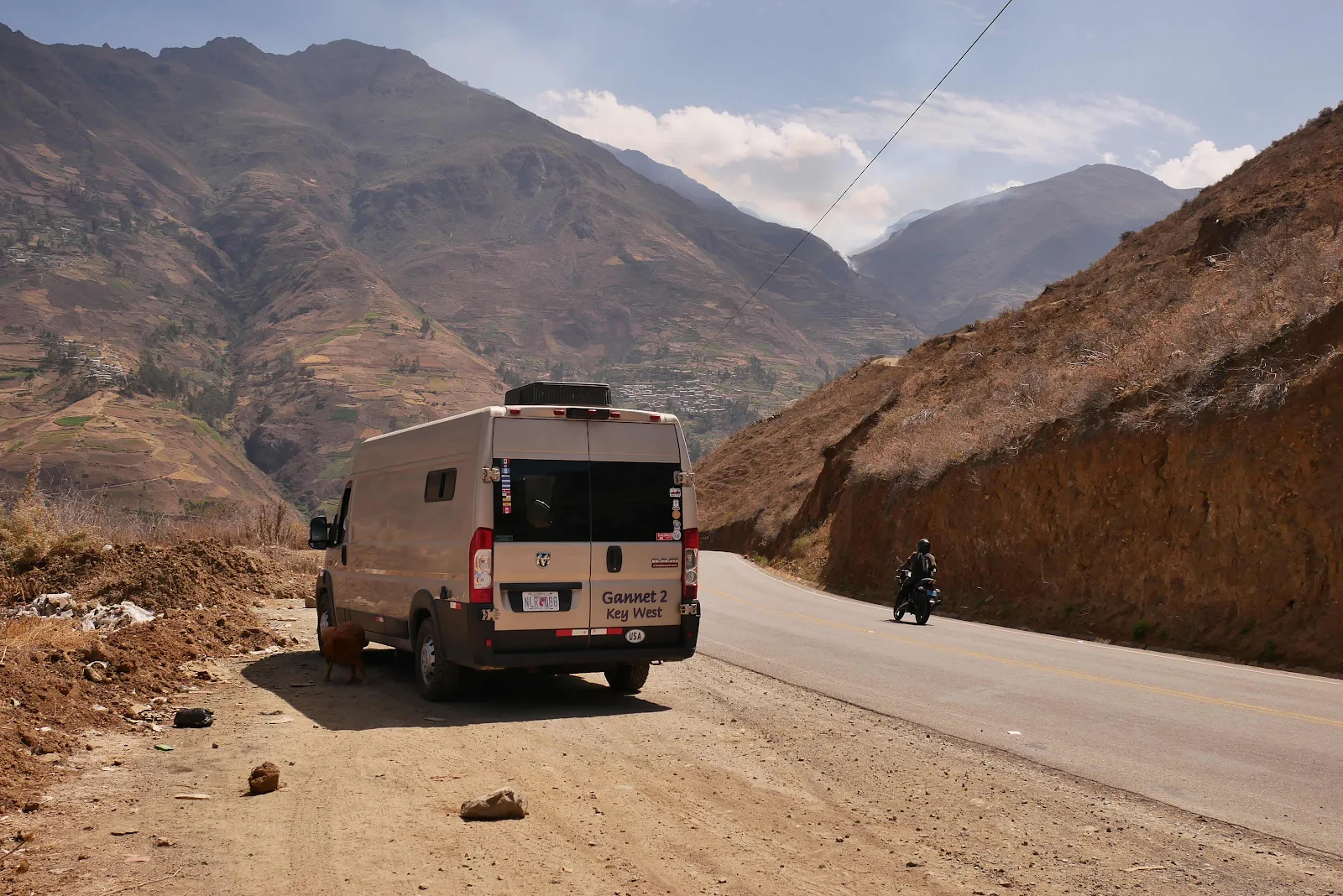
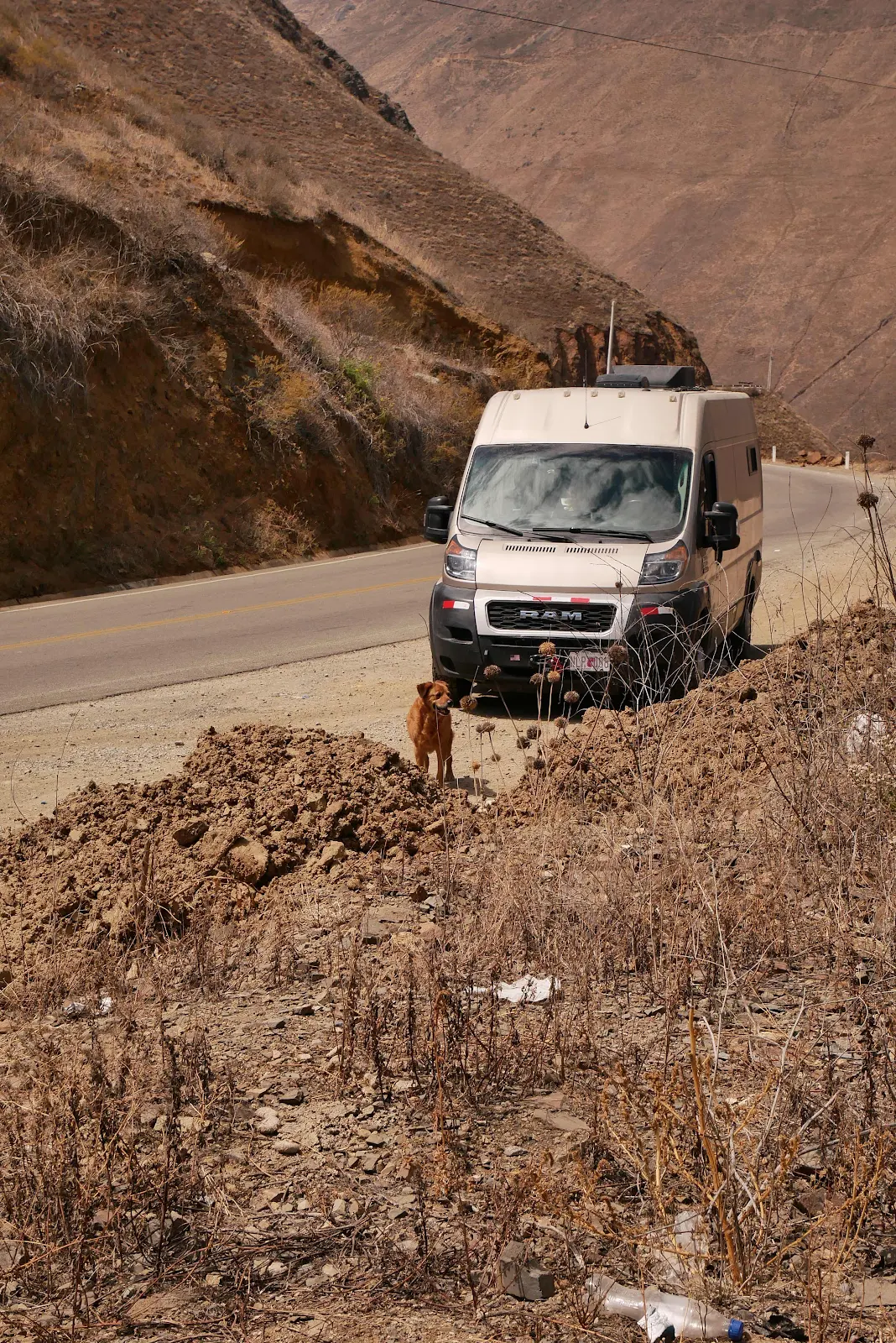
In the middle of all this excitement I missed GANNET2 hitting the 100,000 mile mark. Good van.
And surprise, surprise, the summit sign was bilingual.
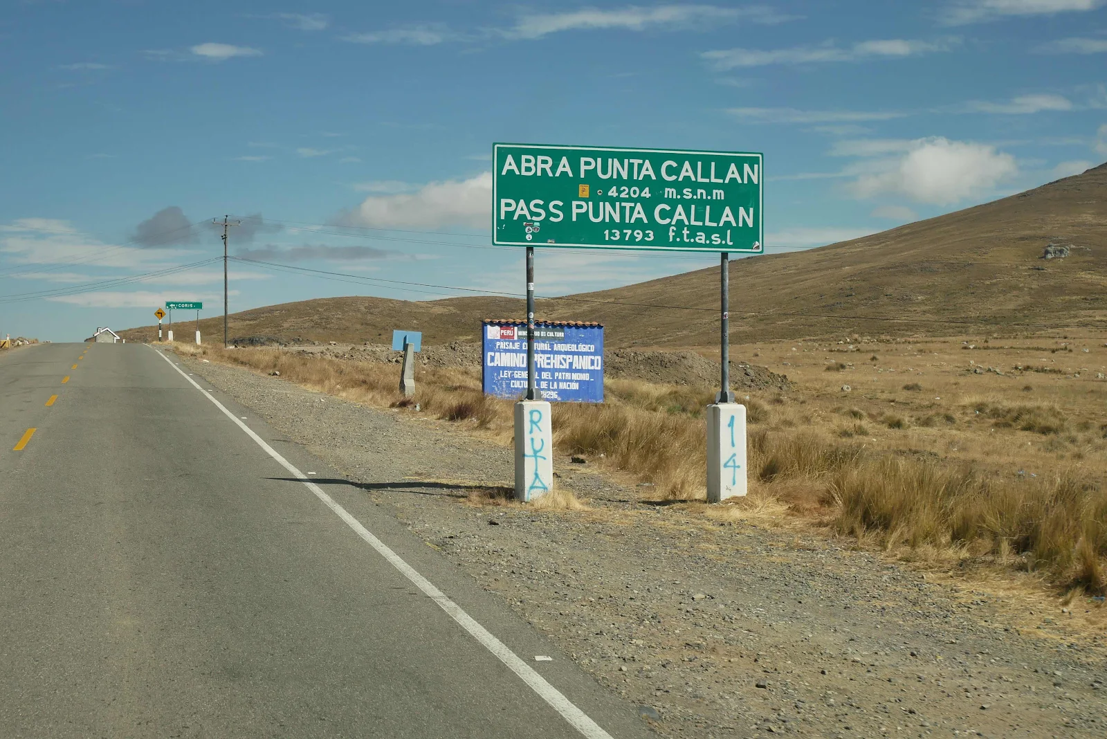
And here we were at last passing over a mountain range at the top. We could see we were at the summit.
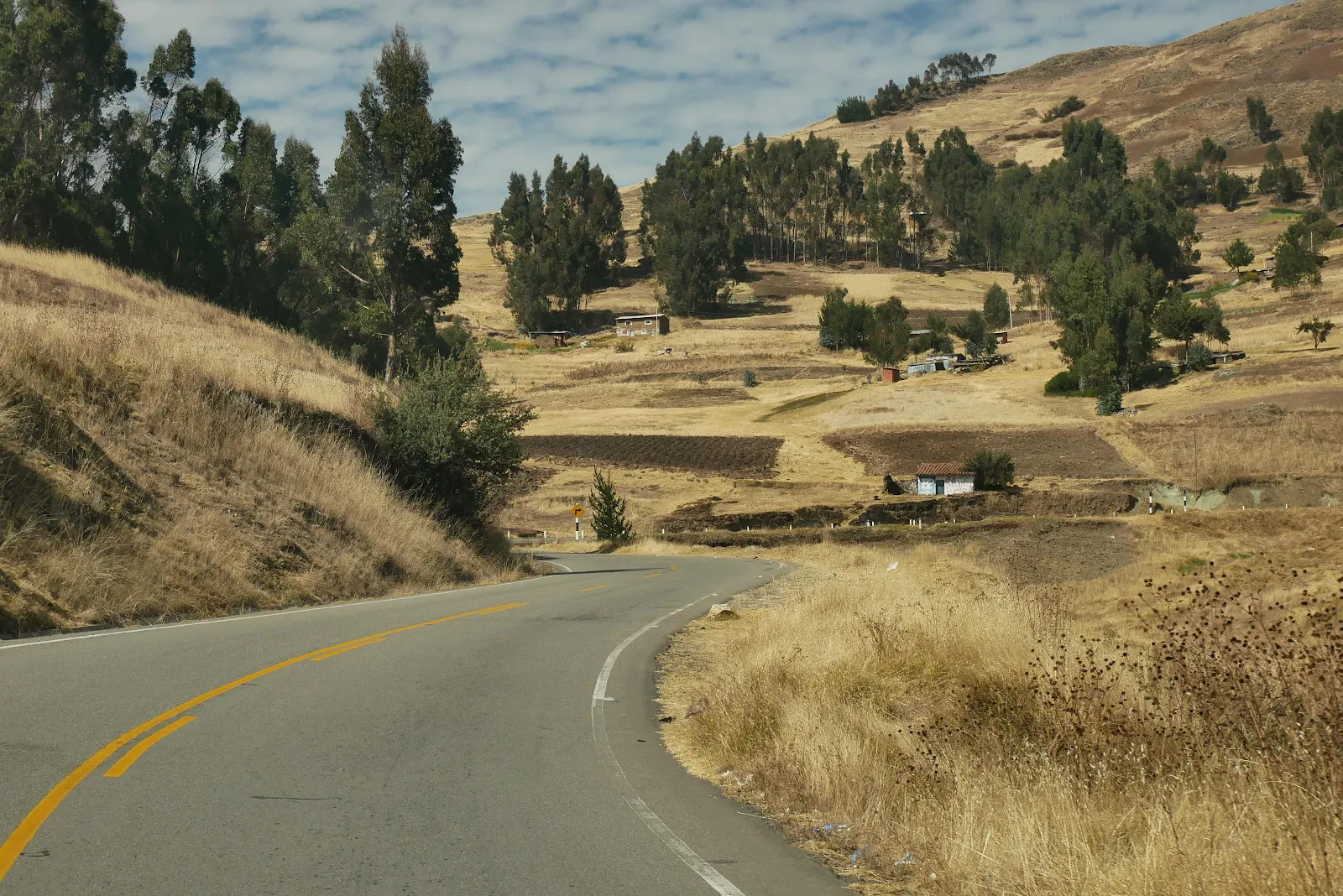
And then we went down the hill west toward the Pacific. I kept GANNET2 in manual second gear and we took the straights at 20 to 25 miles per hour without touching the brakes until we got to the hairpins and had to slow to almost a walk.

Lots of hairpins however my tactic saved the brakes and we descended steadily towards thick warm air.
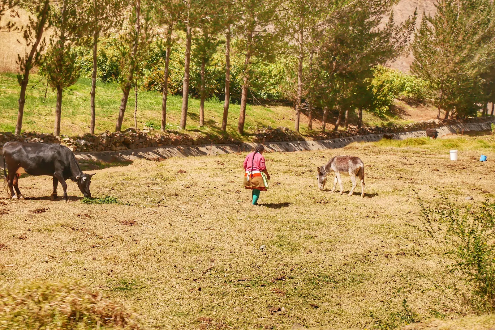

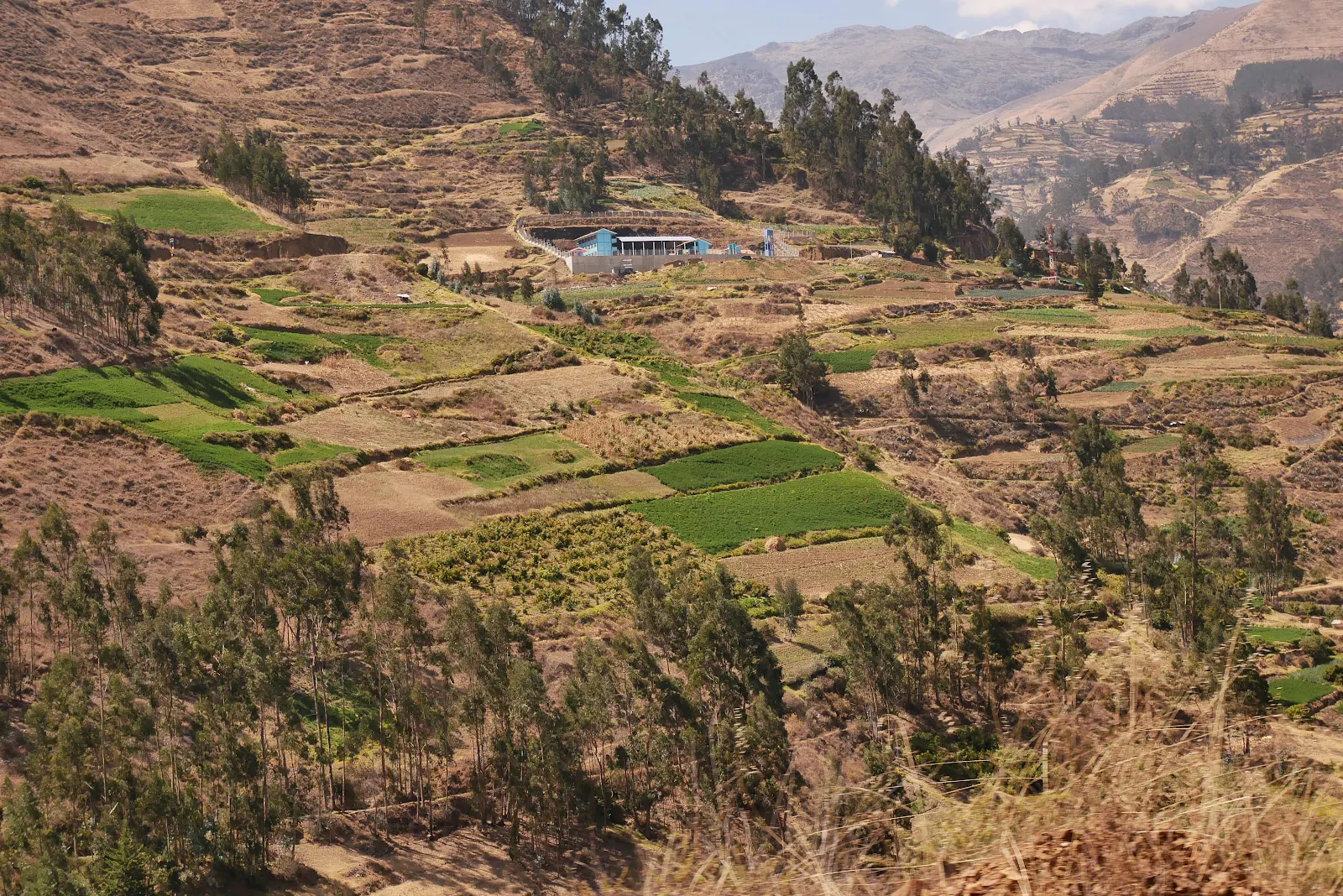
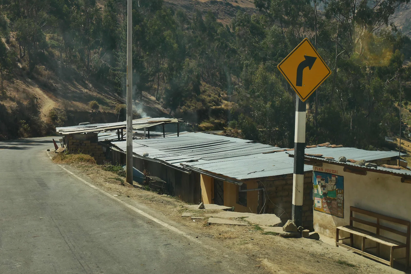
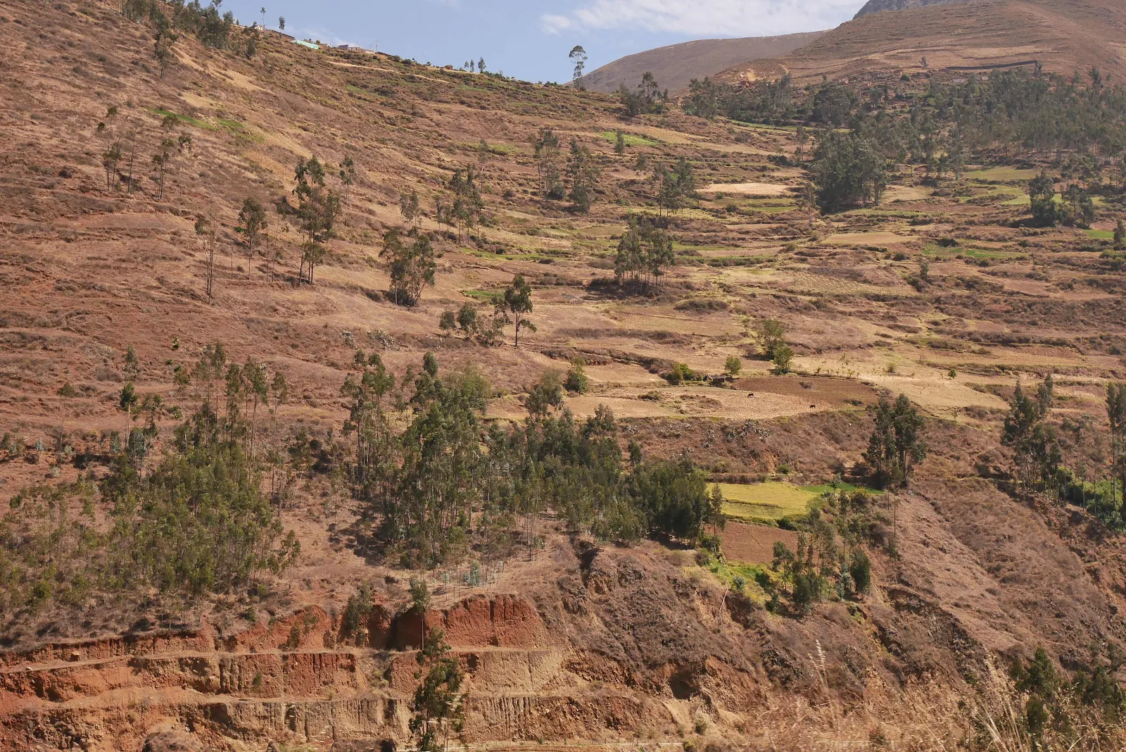
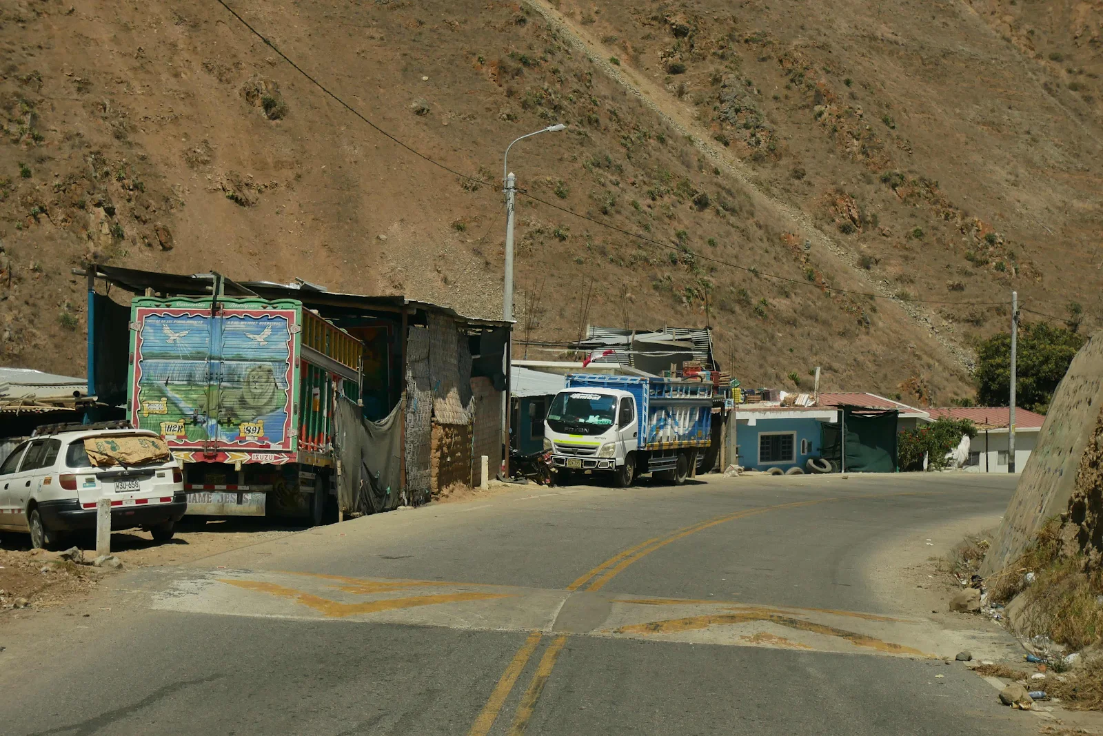
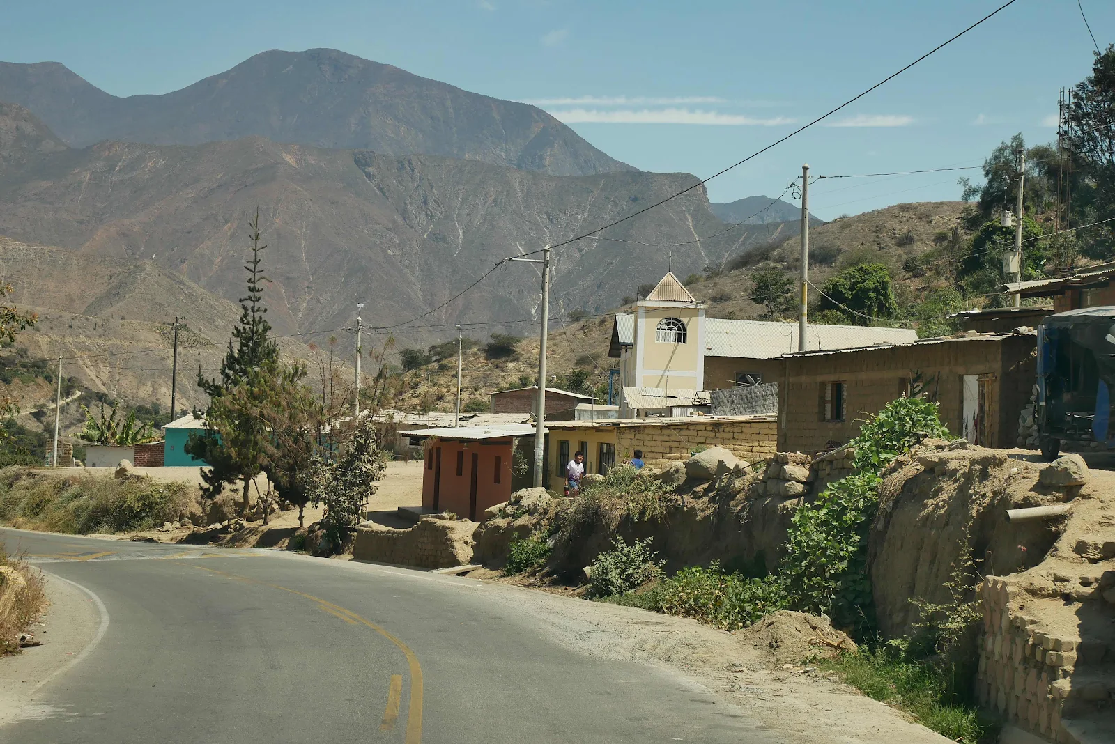
We passed that blue building and it’s a school. Locals get used to living vertically but we found the steep fields and the wild wandering footpaths up the hillsides to be totally intimidating.
These are the Andes. And we were there. We marveled that we were actually driving through the Andes.
Oh and speed bumps damn their eyes.
No idea what the words mean. I speak Italian Spanish and French but not Quechua so you’re on your own. It says “solid waste” in Spanish but the rest is gibberish to my foreign ears.
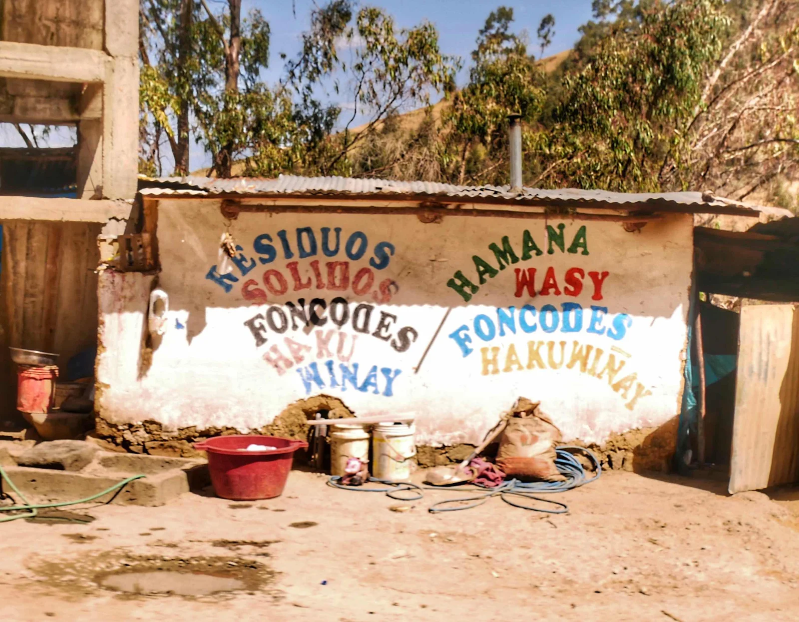
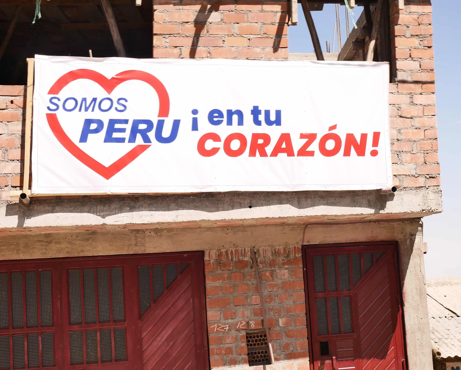
We Are Peru In Your Heart whatever that means.
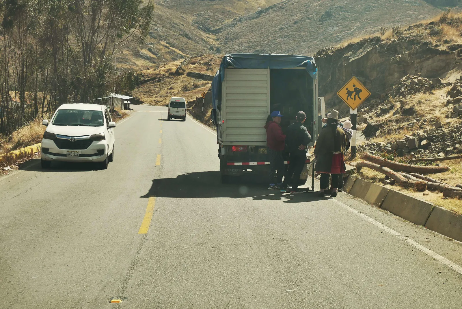
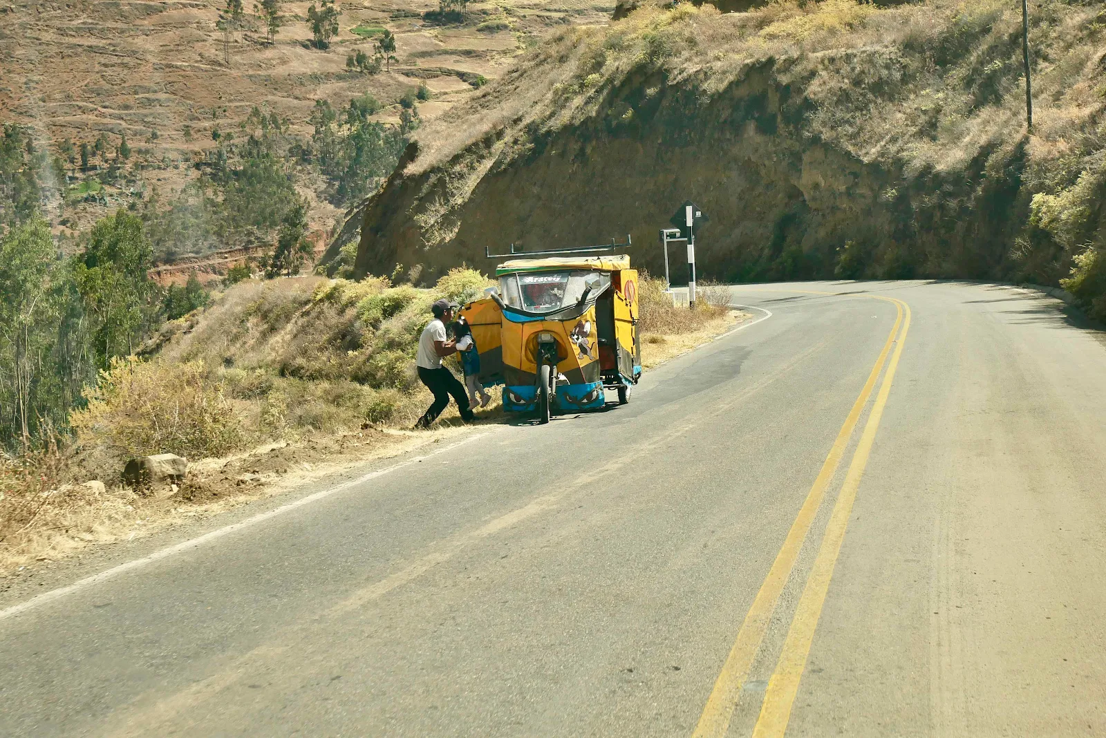
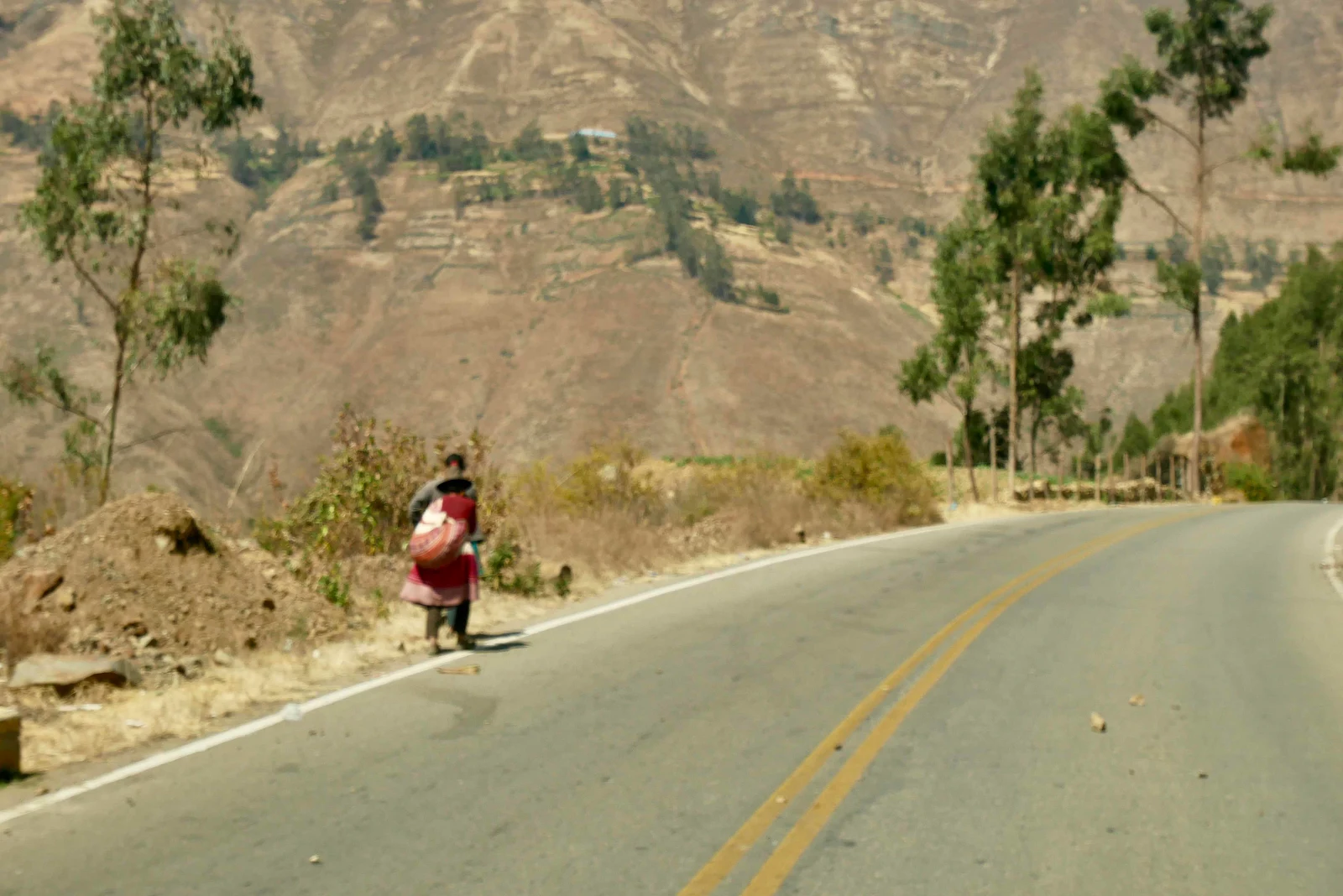
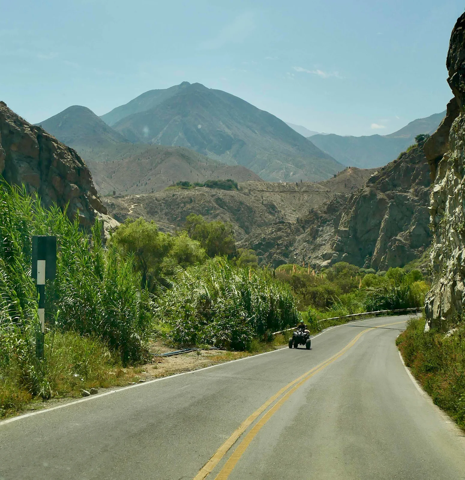
The tuk tuk taxis drive these roads and below we passed a father taking his family for a Sunday drive.
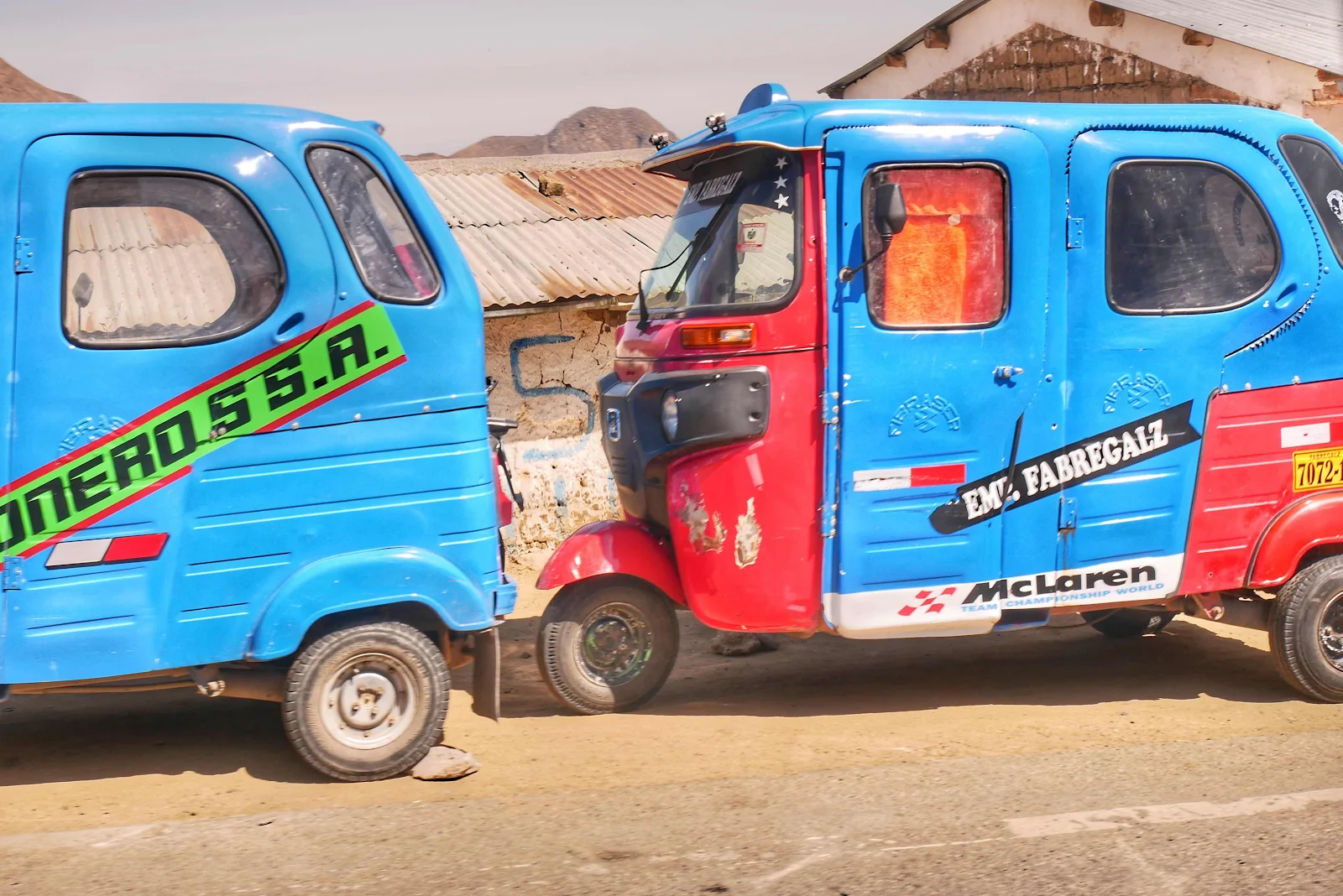
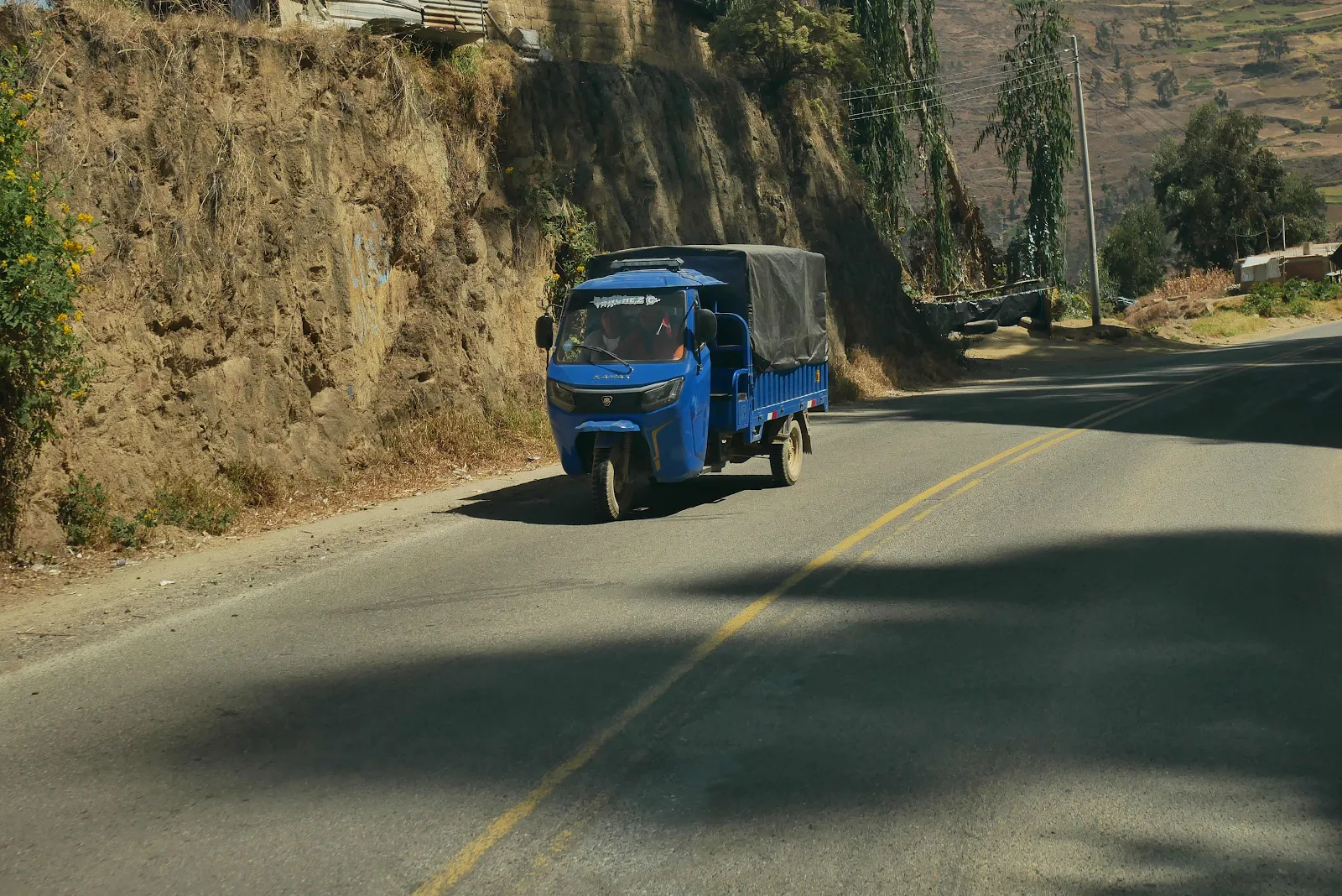
A cargo three wheeler which might also carry passengers as needed:
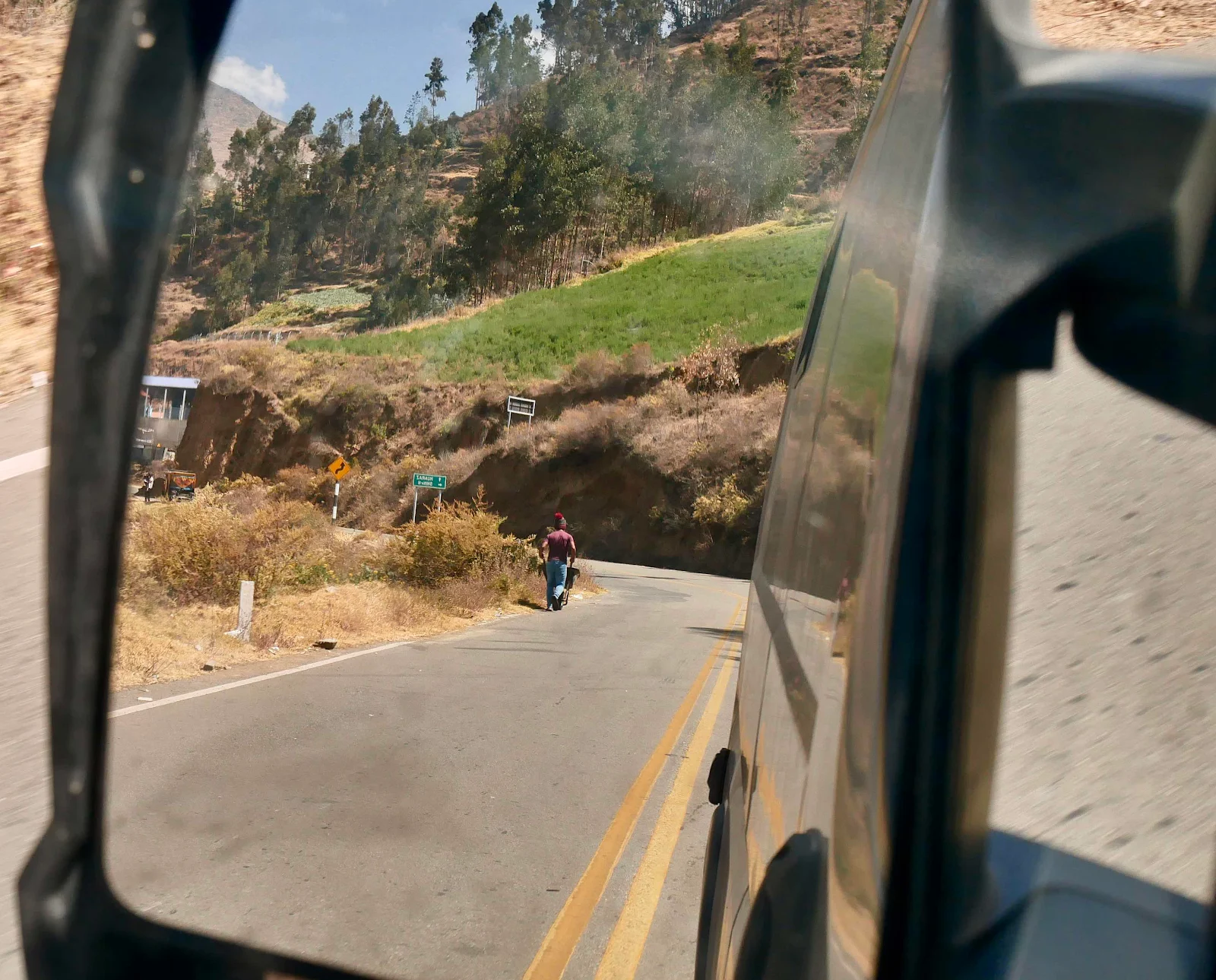
Taking your wheelbarrow for a walk at 10,000 feet:
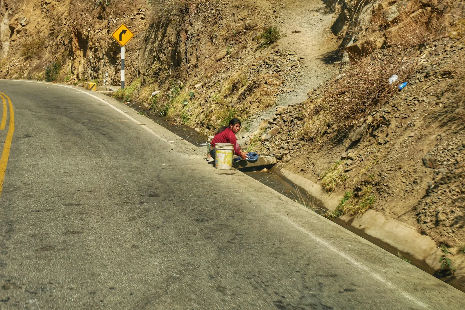
Laundry day in the irrigation ditch.
Brunch break at a convenient pull out. Layne made soufflé’d eggs in the air fryer while Rusty and I stretched our legs.
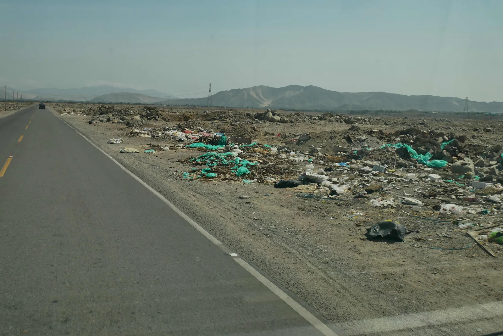
We can’t get used to the trash everywhere but we are learning to live with it as we have no choice.
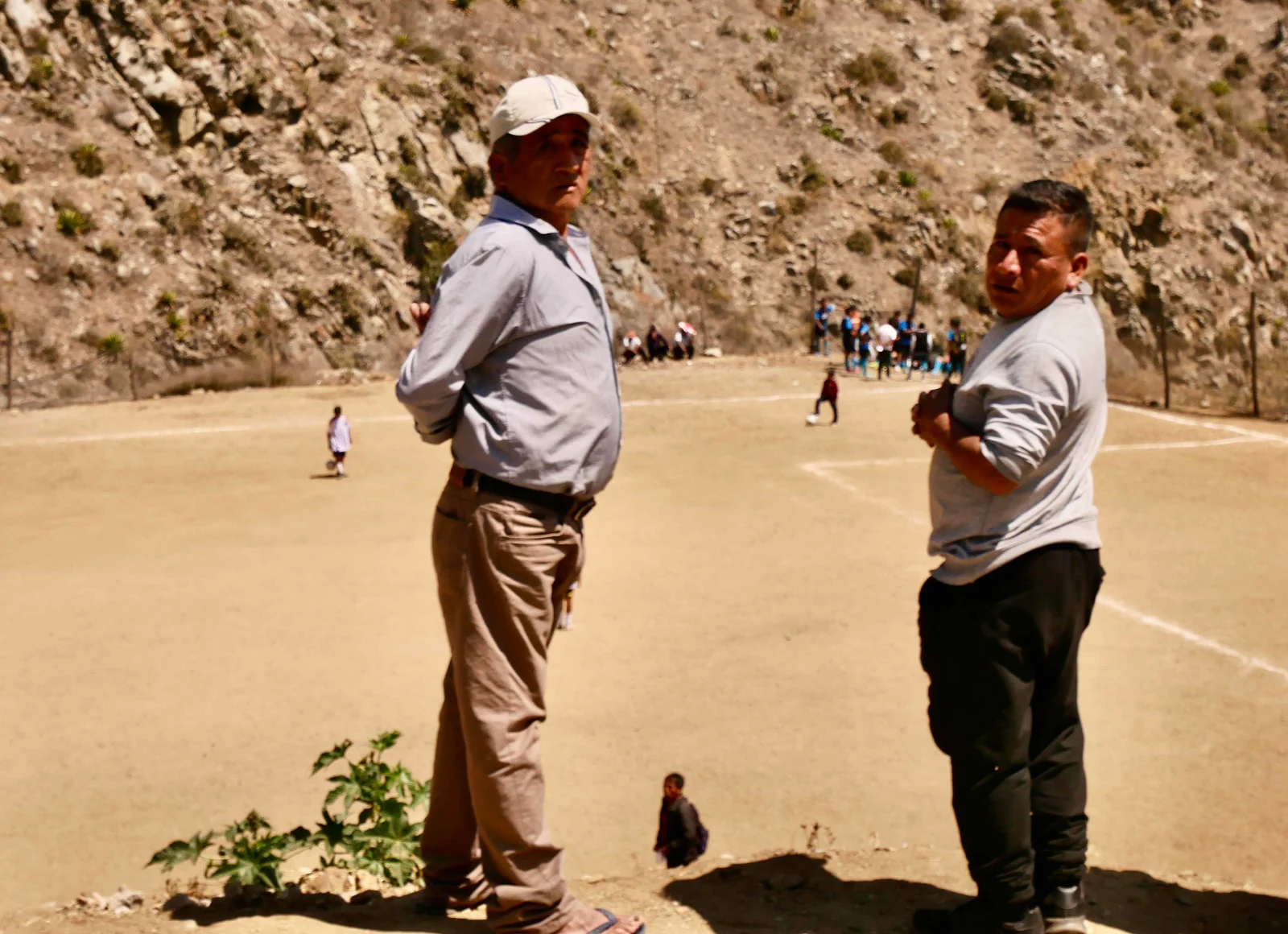
We passed through a village lined with people lining the edge of the road.
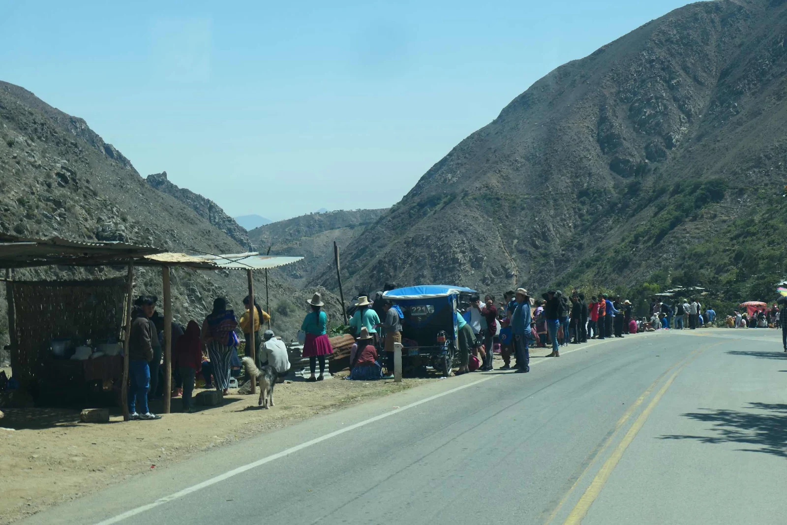
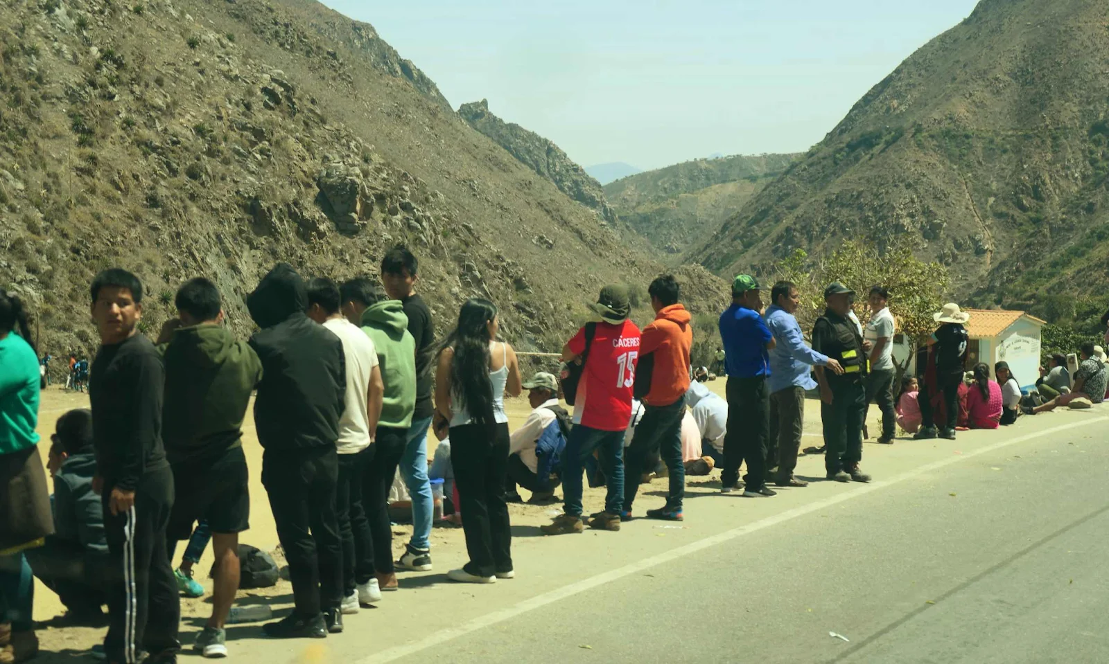
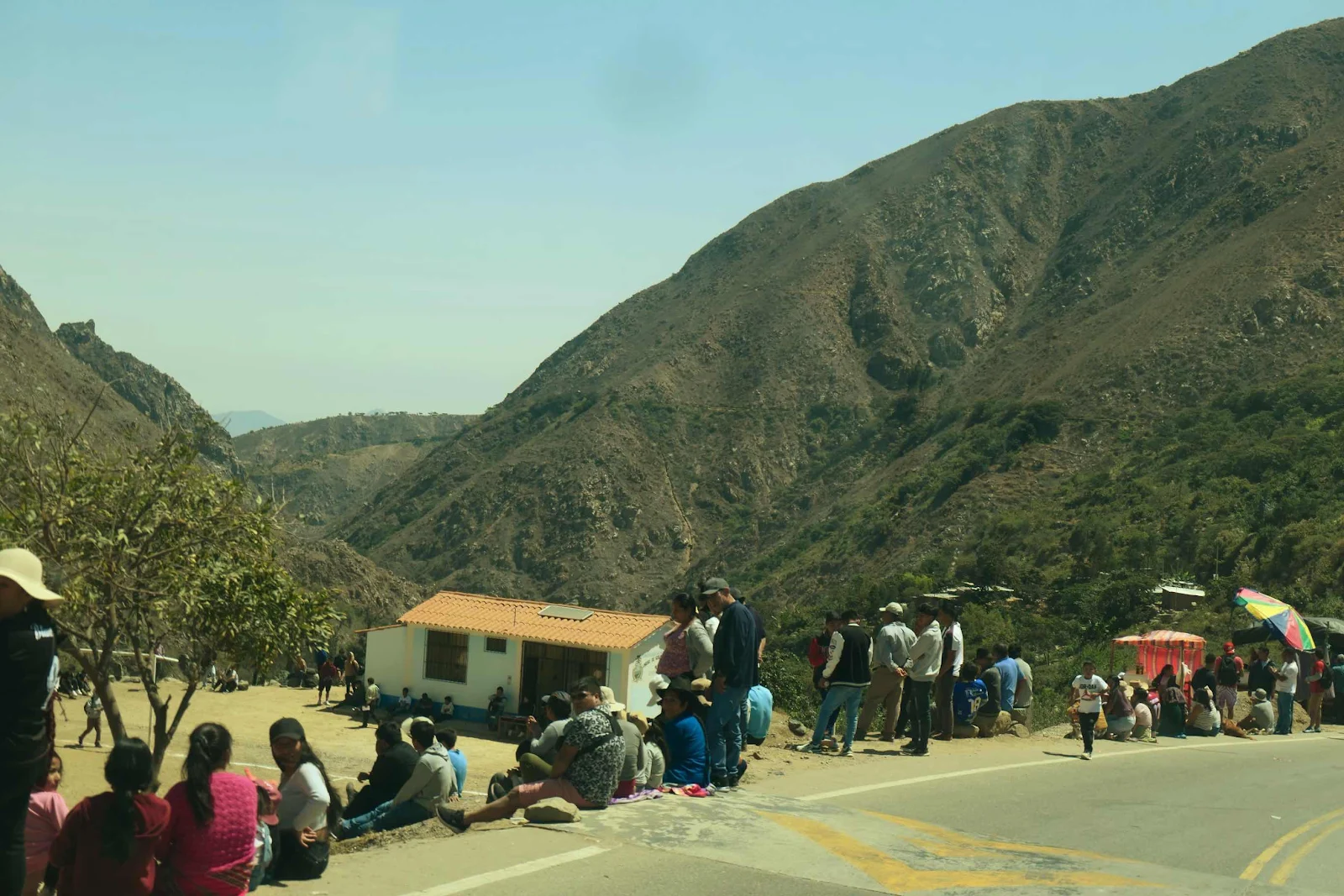
A soccer match it turned out. We were getting close to sea level at around 4,000 feet.
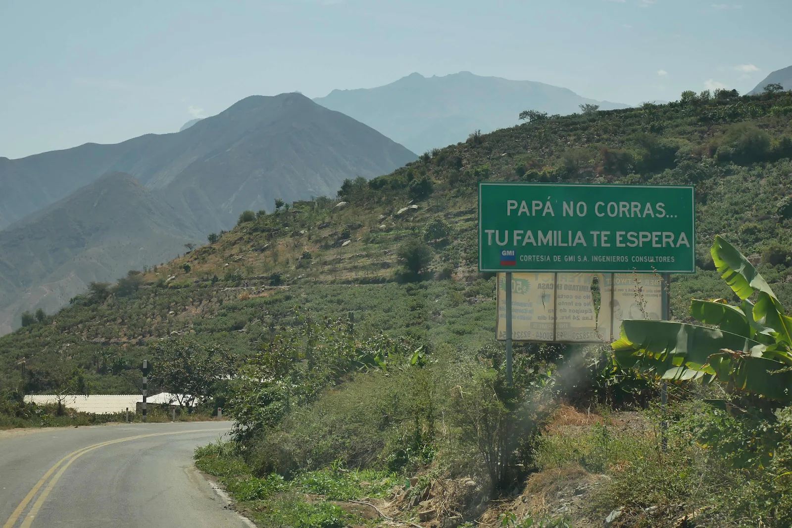
Daddy Don’t Speed, Your Family Is Waiting For You.
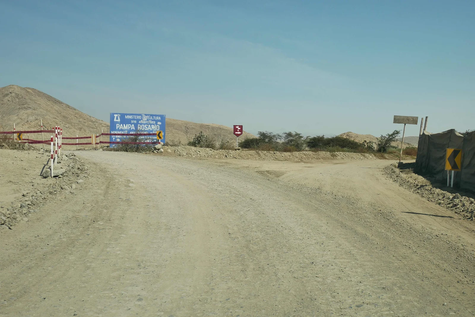
Back to the coastal desert which looks like Utah or Nevada.
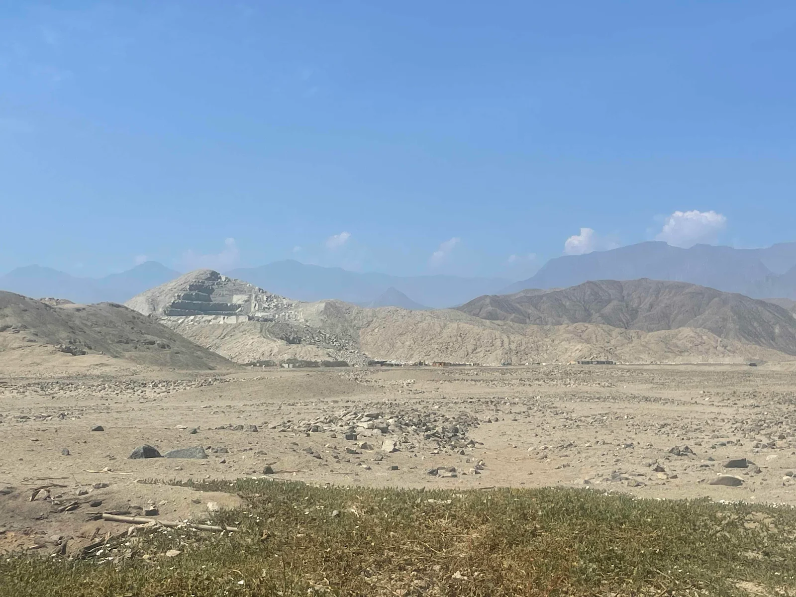
Not exactly like Nevada or Utah.
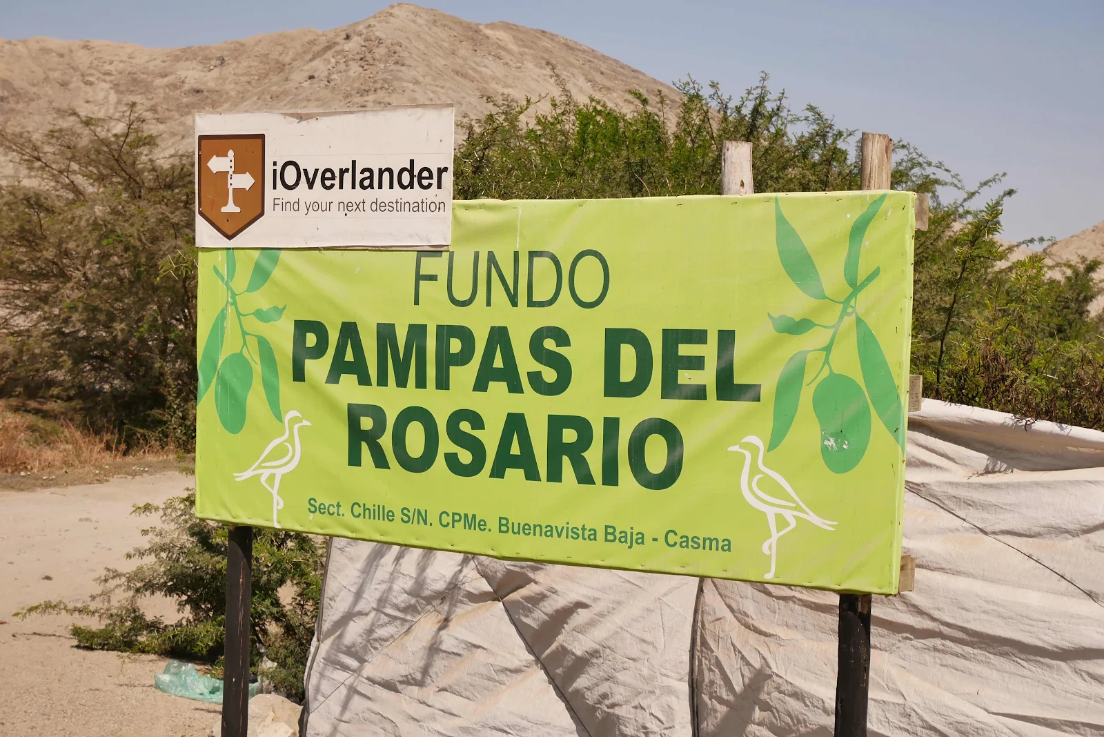
The campground on a mango farm is out there and weren’t we surprised to see our route beautifully marked with iOverlander symbols.
We arrived at 2:30 and I took a nap. I was exhausted for some reason, maybe all the hairpins.
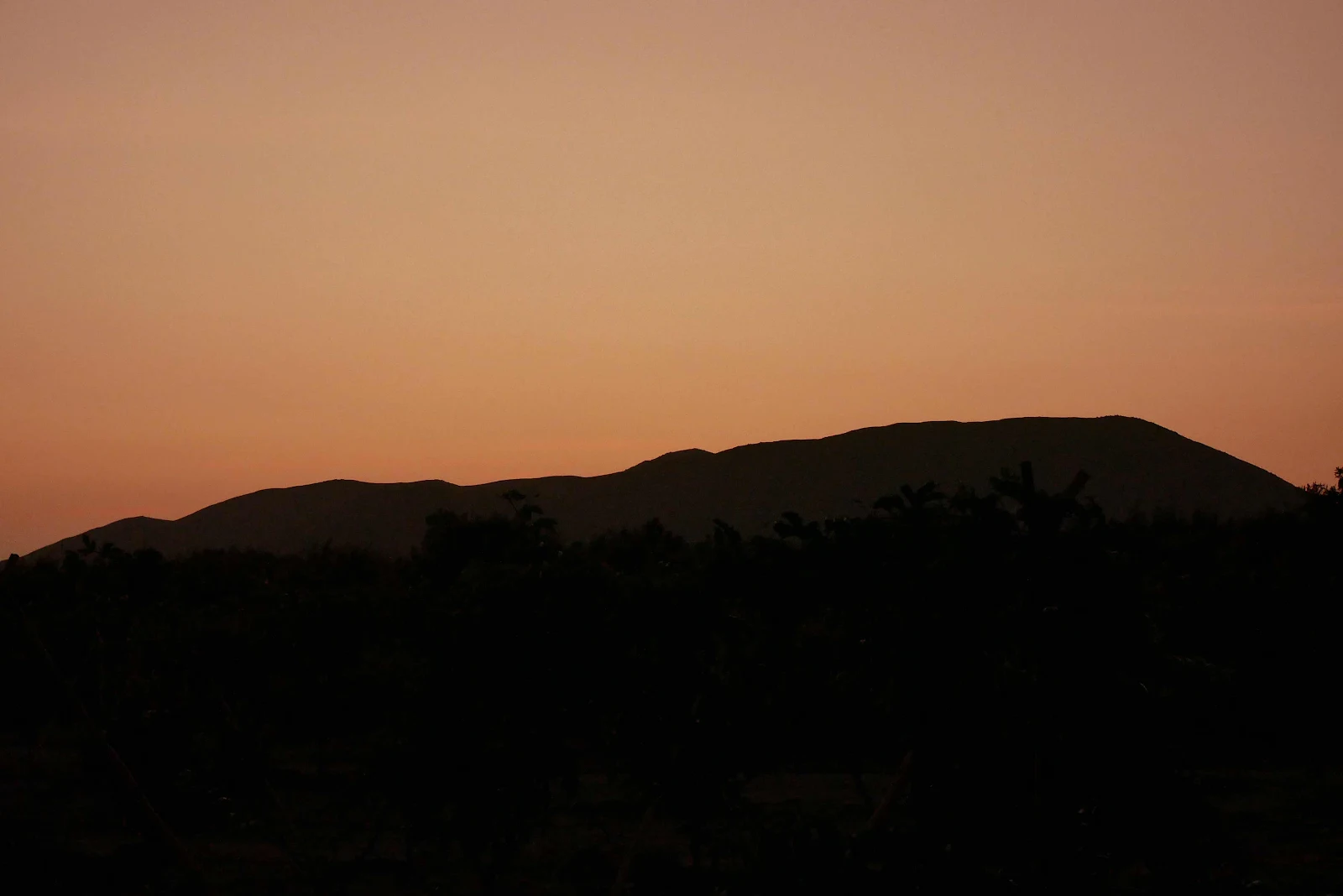
One hell of a Sunday.
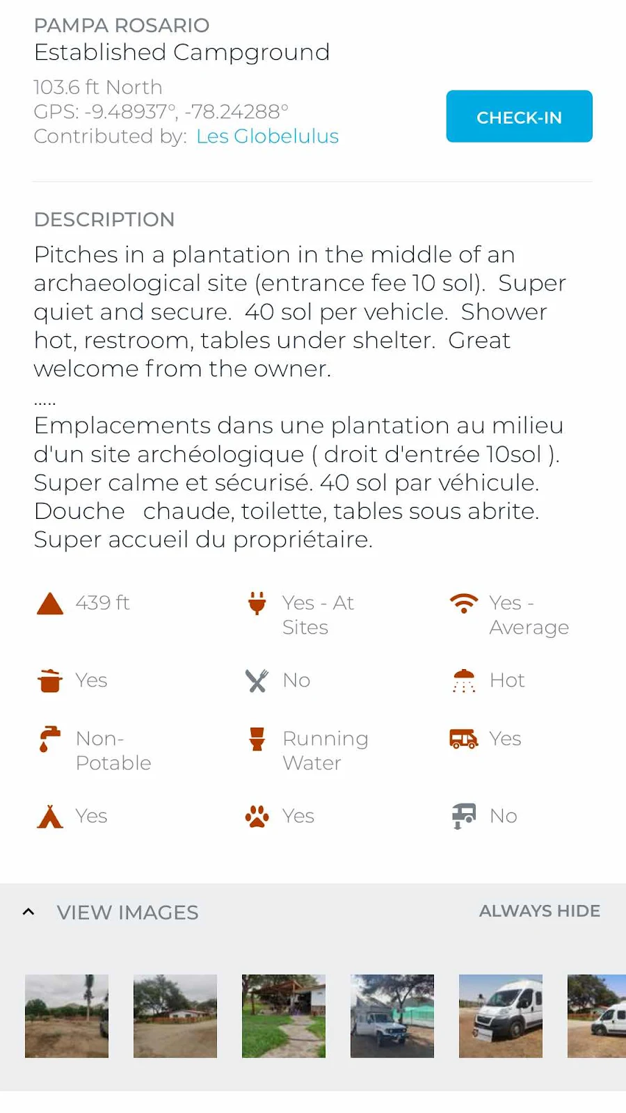
iOverlander entry for this campground.
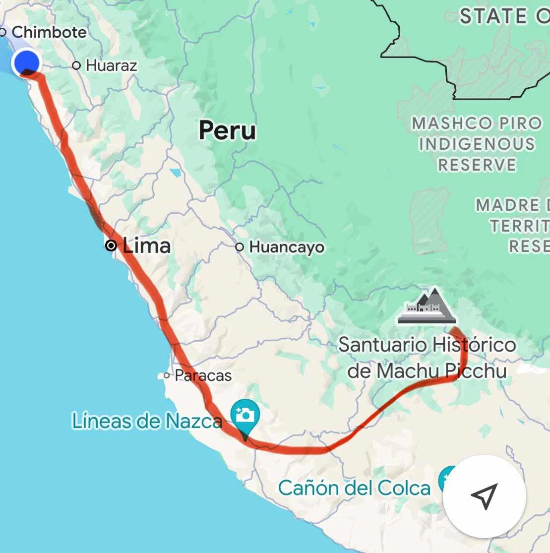
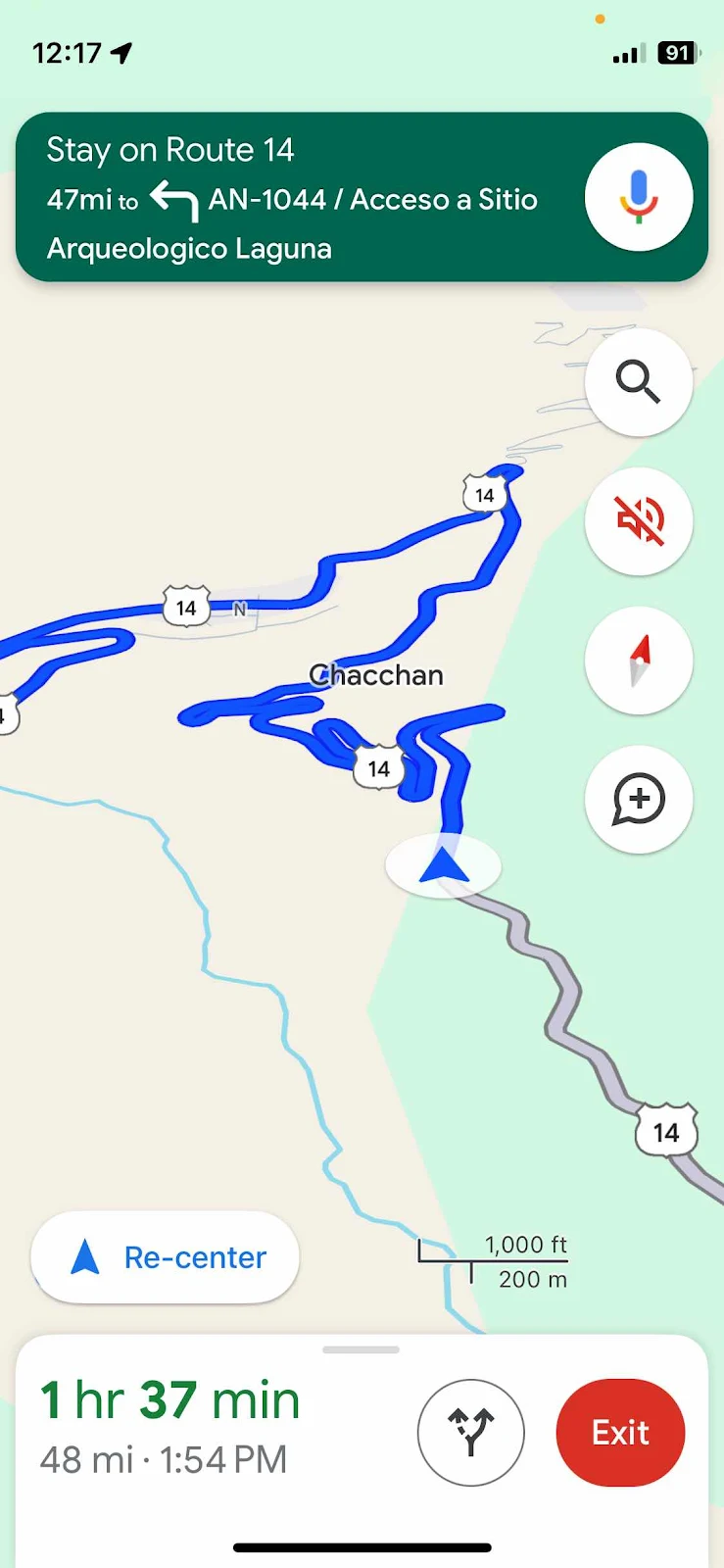
And our roughly planned route toward Cusco over the next week or so. We’re retired so it’s all written in sand.