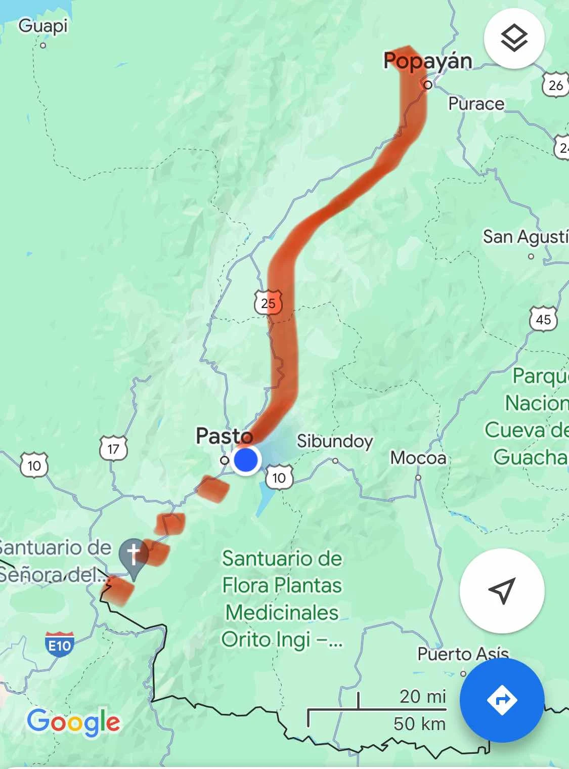
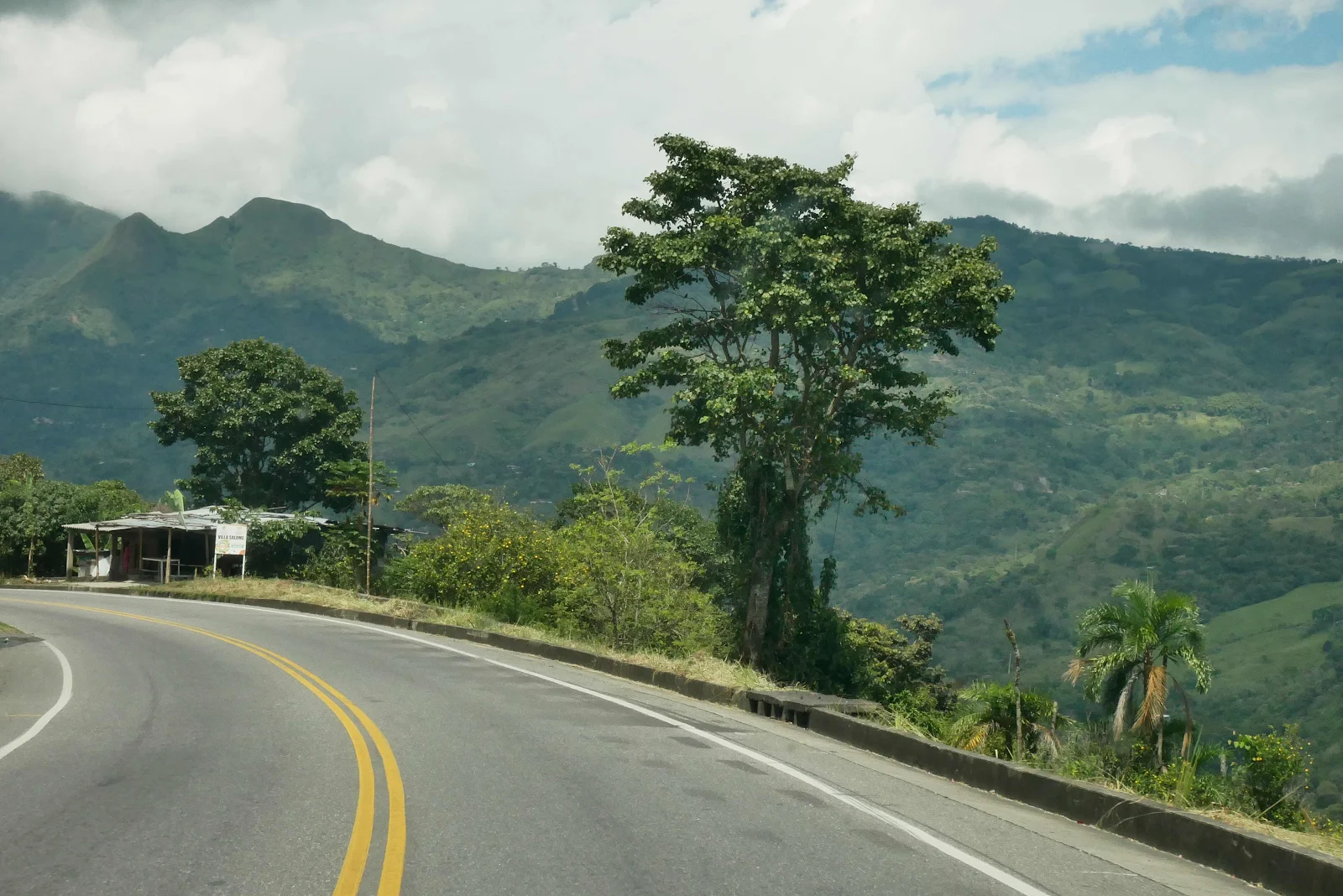
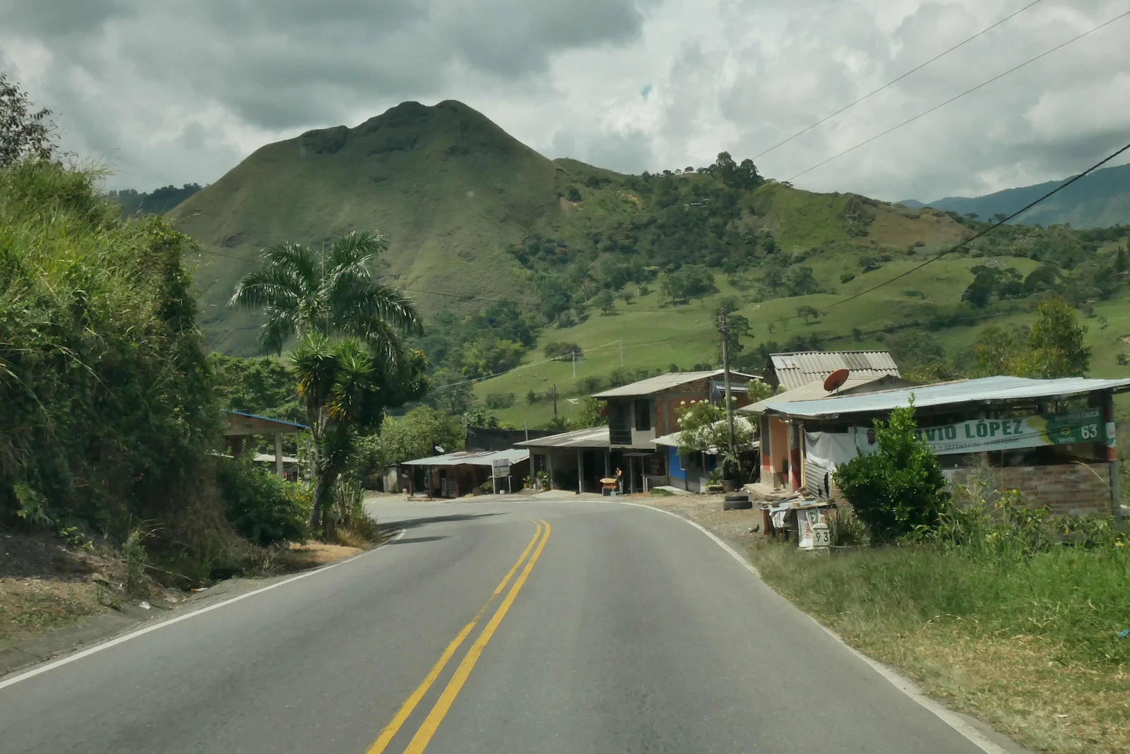
We had no idea what to expect as we took Highway 25 south past Popayán, into new territory, driving a road unknown to us.
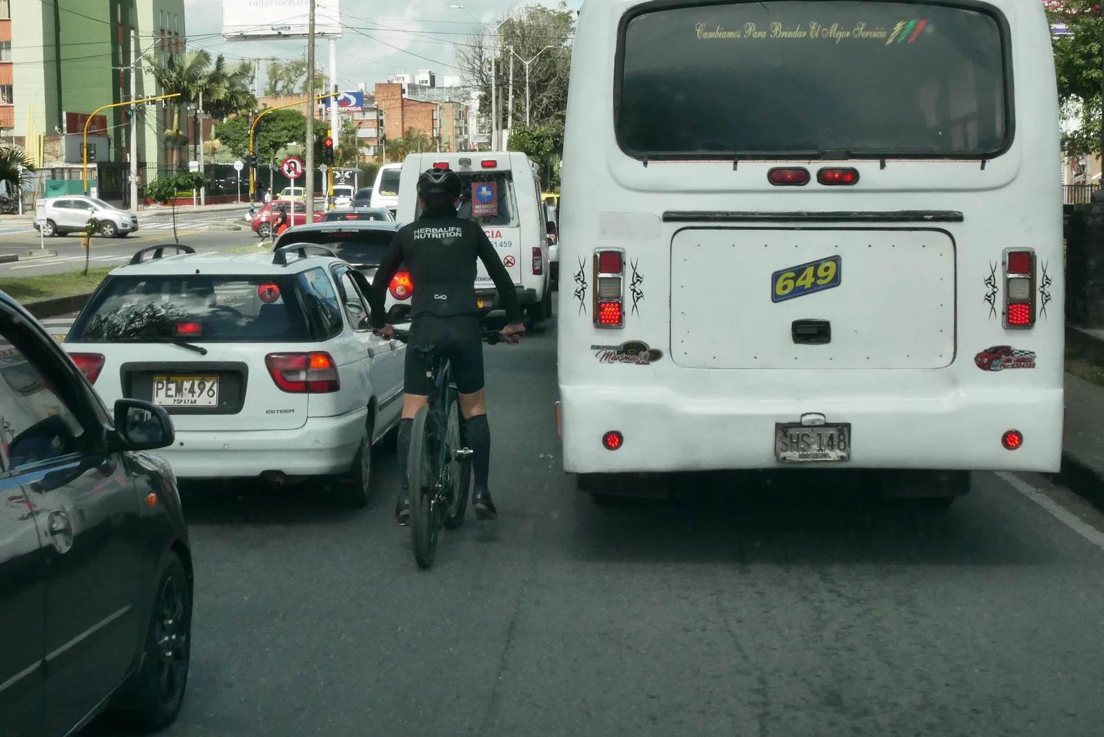
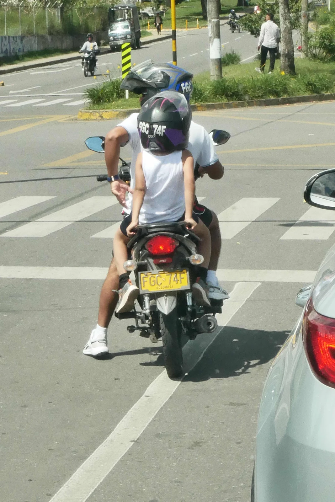
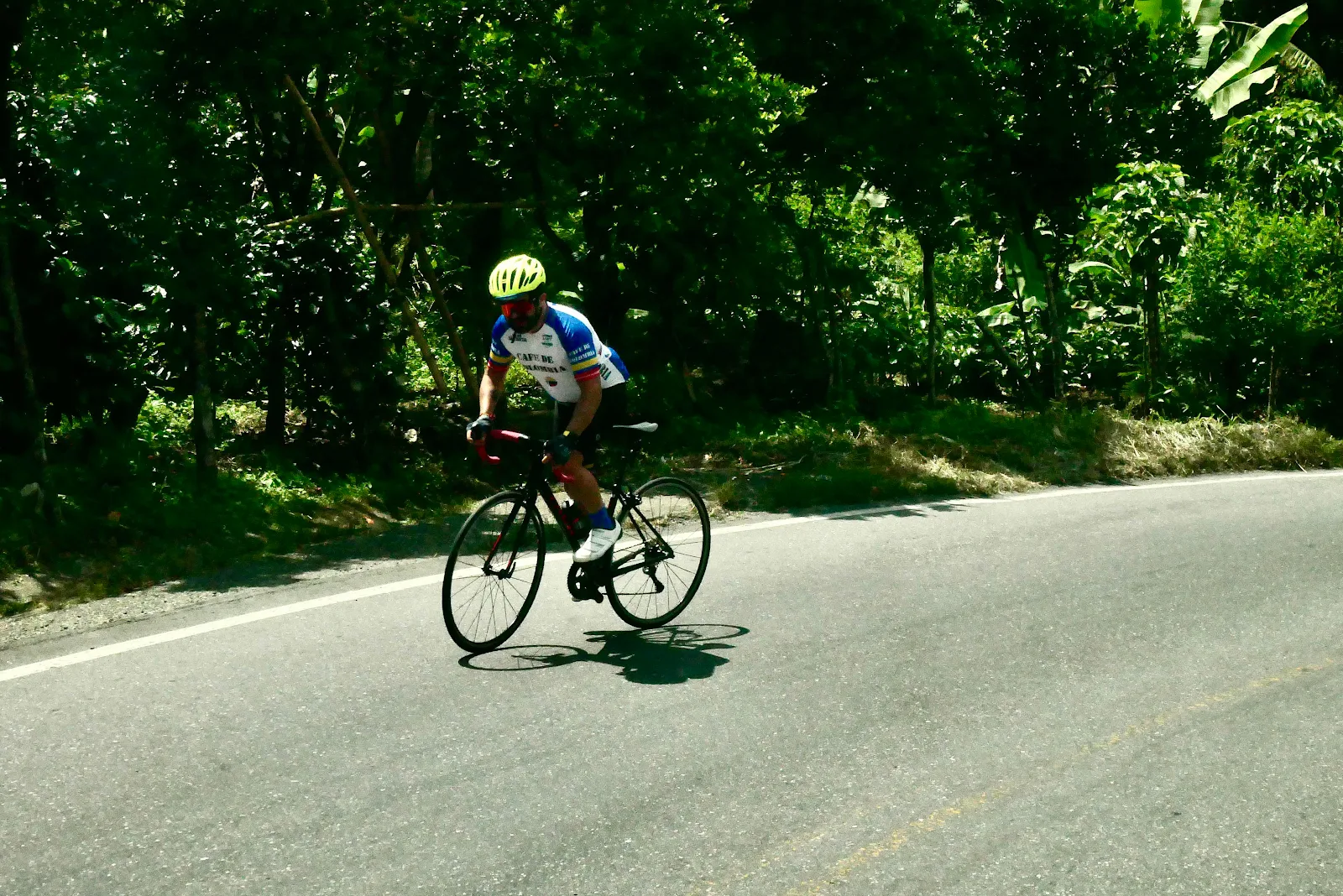
This was Sunday in Popayán in the middle of a three day weekend. The traffic wasn’t heavy but we passed by roadside gatherings, a few bicycles and lots of families out for the day or weekend.
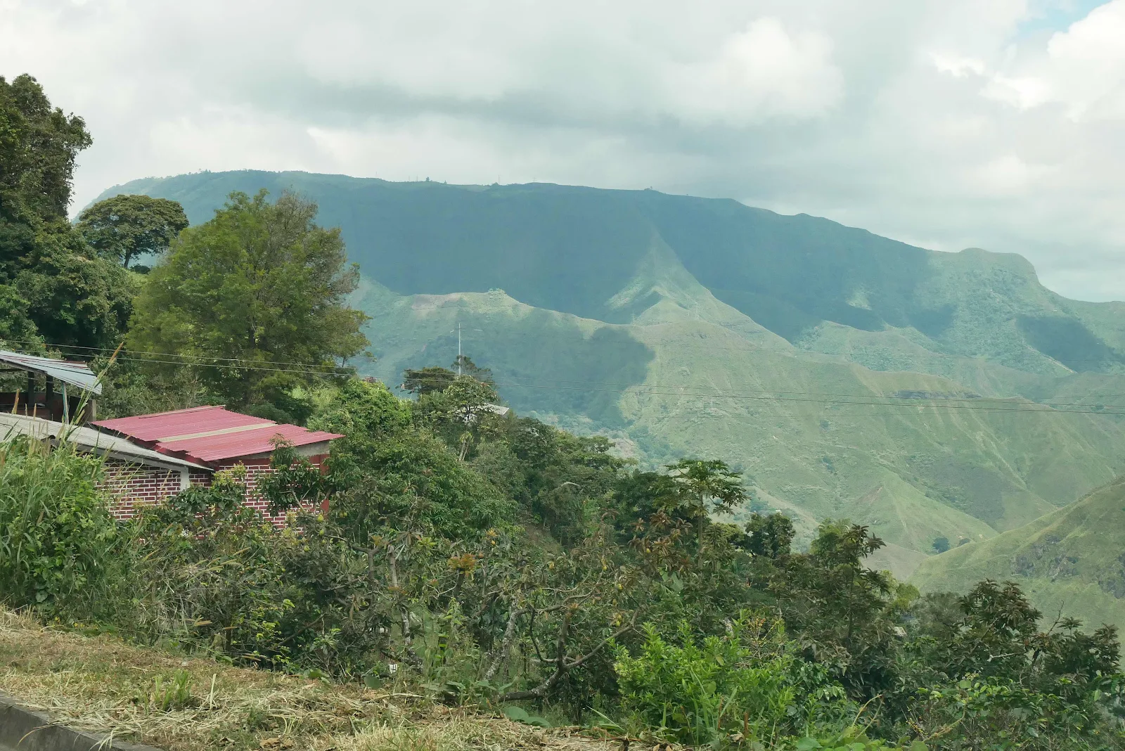
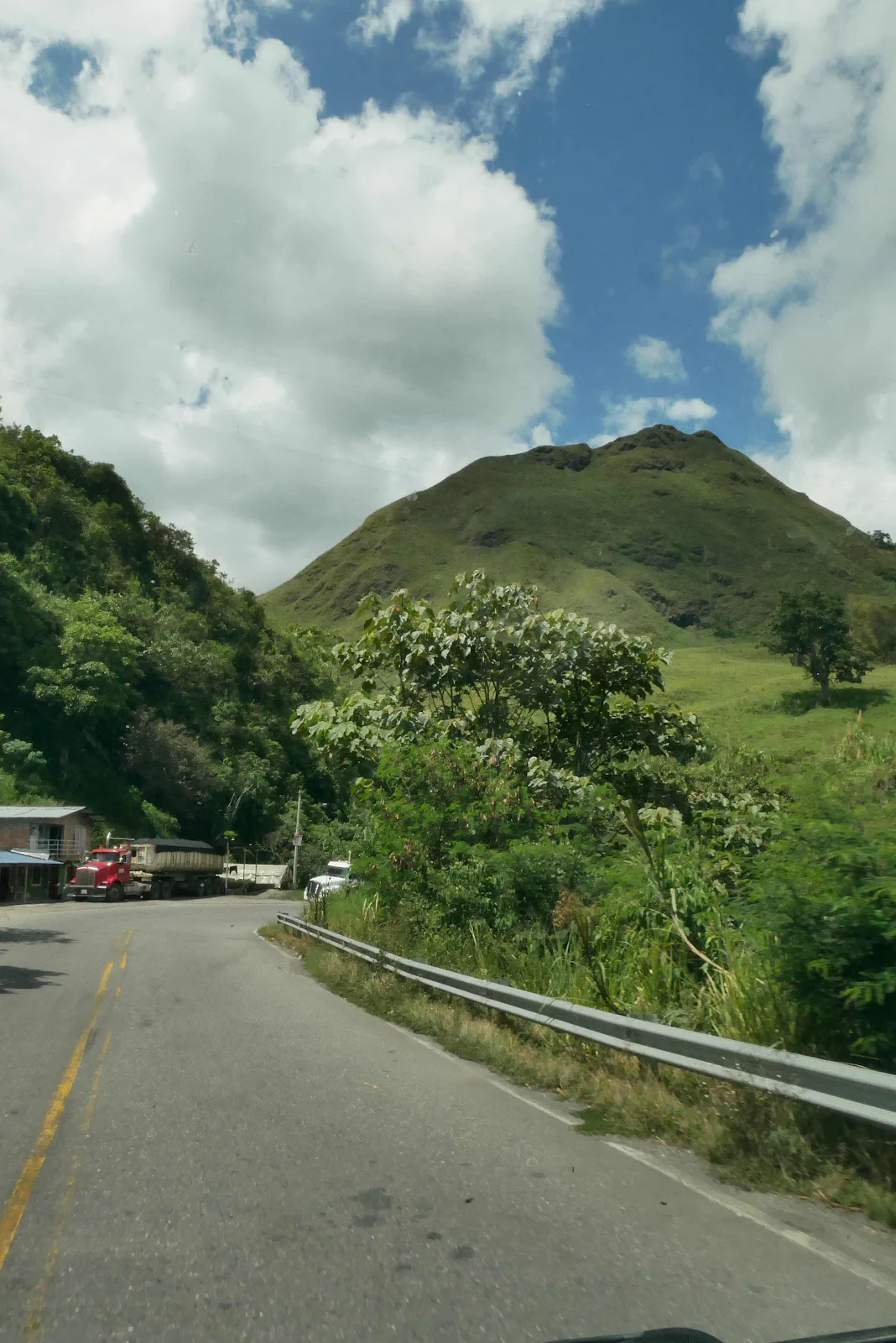
We saw mountains ahead some covered in clouds. I had an idea we were going to driving up a valley, straight up to 10,000 feet at the border with Ecuador.
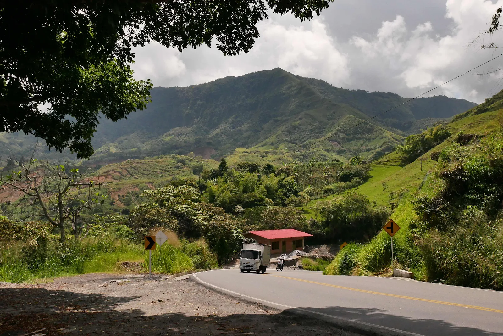
But the highway wasn’t like that. The road went up a mountain ridge, then back down and then it crossed a wide valley and then climbed another ridge before we reached the city of Pasto and camped at 9,000 feet with overnight temperatures near fifty degrees.
I took almost a hundred pictures on the road. I use a small Panasonic with a short telephoto lens, set to be about right for the light, though I can easily adjust shutter speed with my forefinger. I don’t enjoy using my phone as a camera not least because it’s so fiddly. The GX85 sits in the window tray and I can pick it up and squeeze the shutter without looking at it and hoping for the best. This one, below, I took while pulled over and sometimes I use Laynes pictures. But mostly I discard a lot of crap and try to illustrate a story with the rest.
When the road gets gnarly I turn to Layne and hope she got something I can use. These are mine of some difficult moments on Highway 25 to Pasto. This is the scene of a giant mudslide:
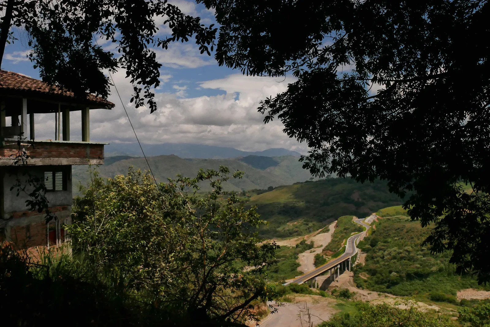
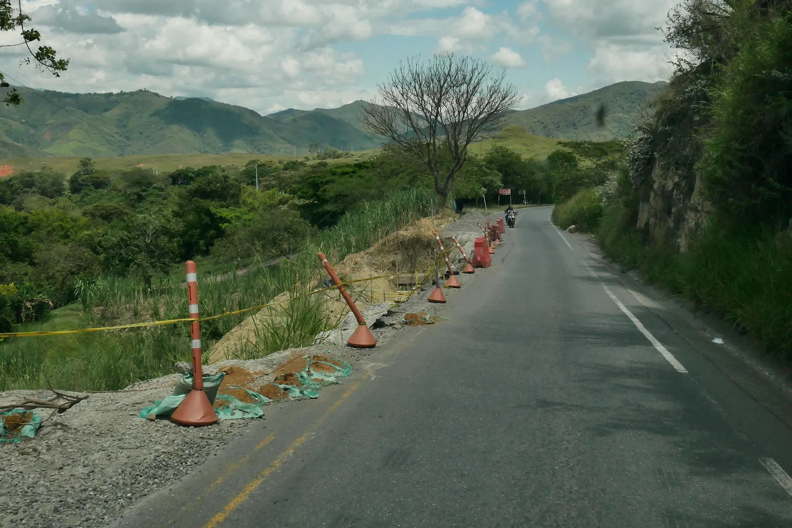
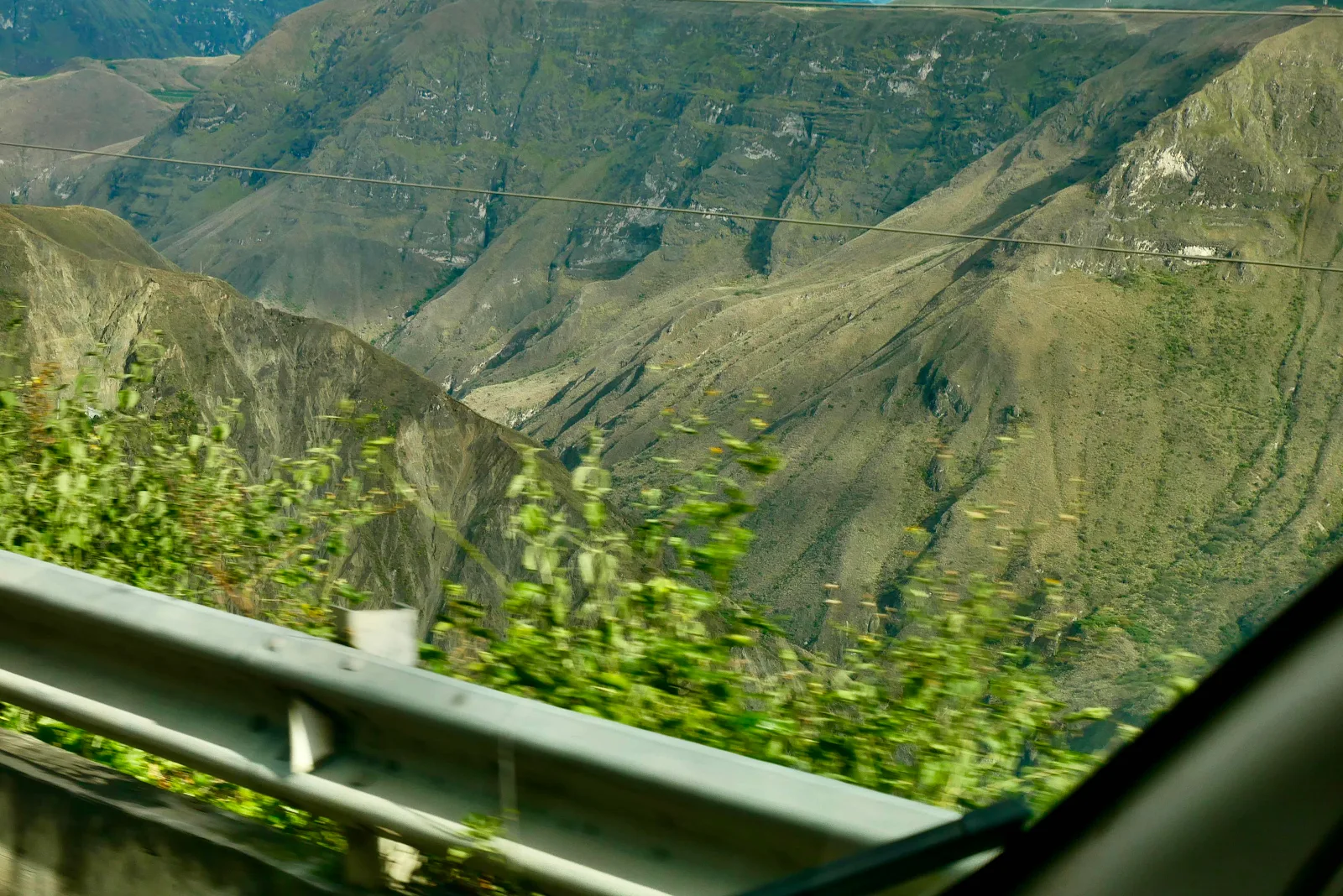
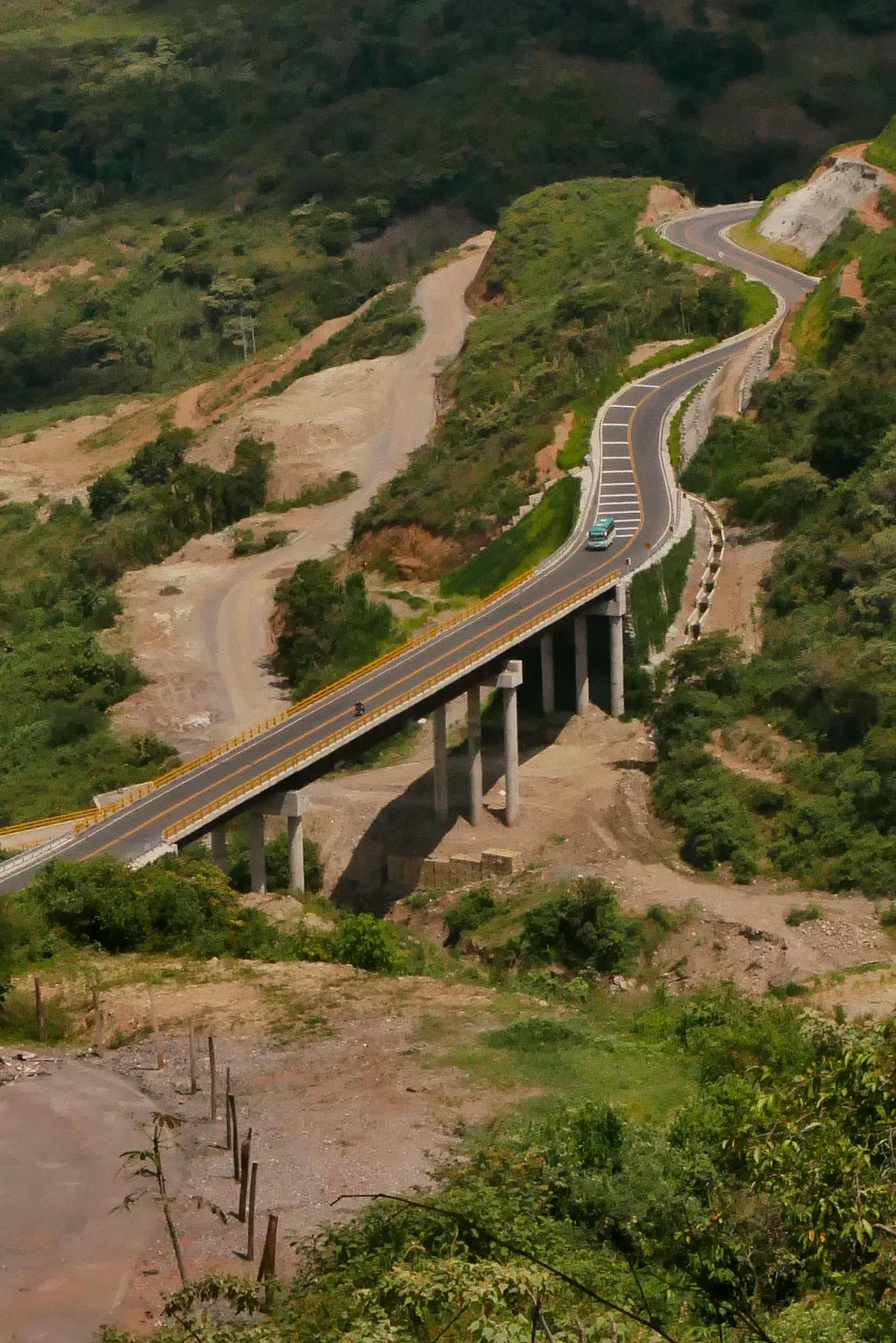 A couple of years ago heavy rains destroyed the road in a huge mudslide that took months to fix. They did a good job but this is the PanAmerican and around here there no alternative routes. They dug out mud tracks which got slick in the rain and buses trucks and cars could barely move. It was pretty horrible and I only saw photographs. We couldn’t have driven it.
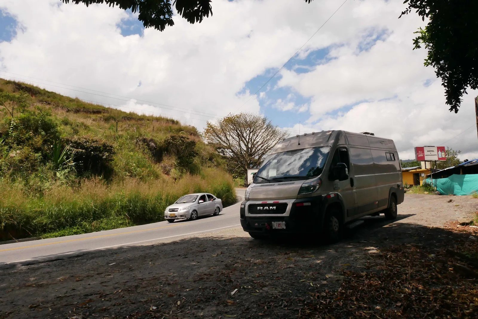
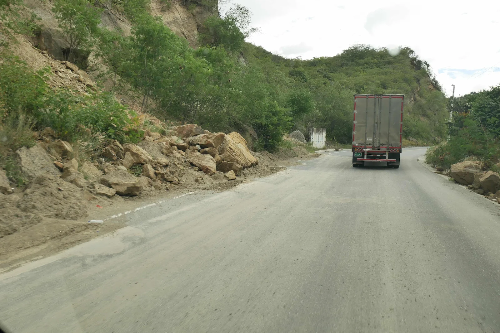
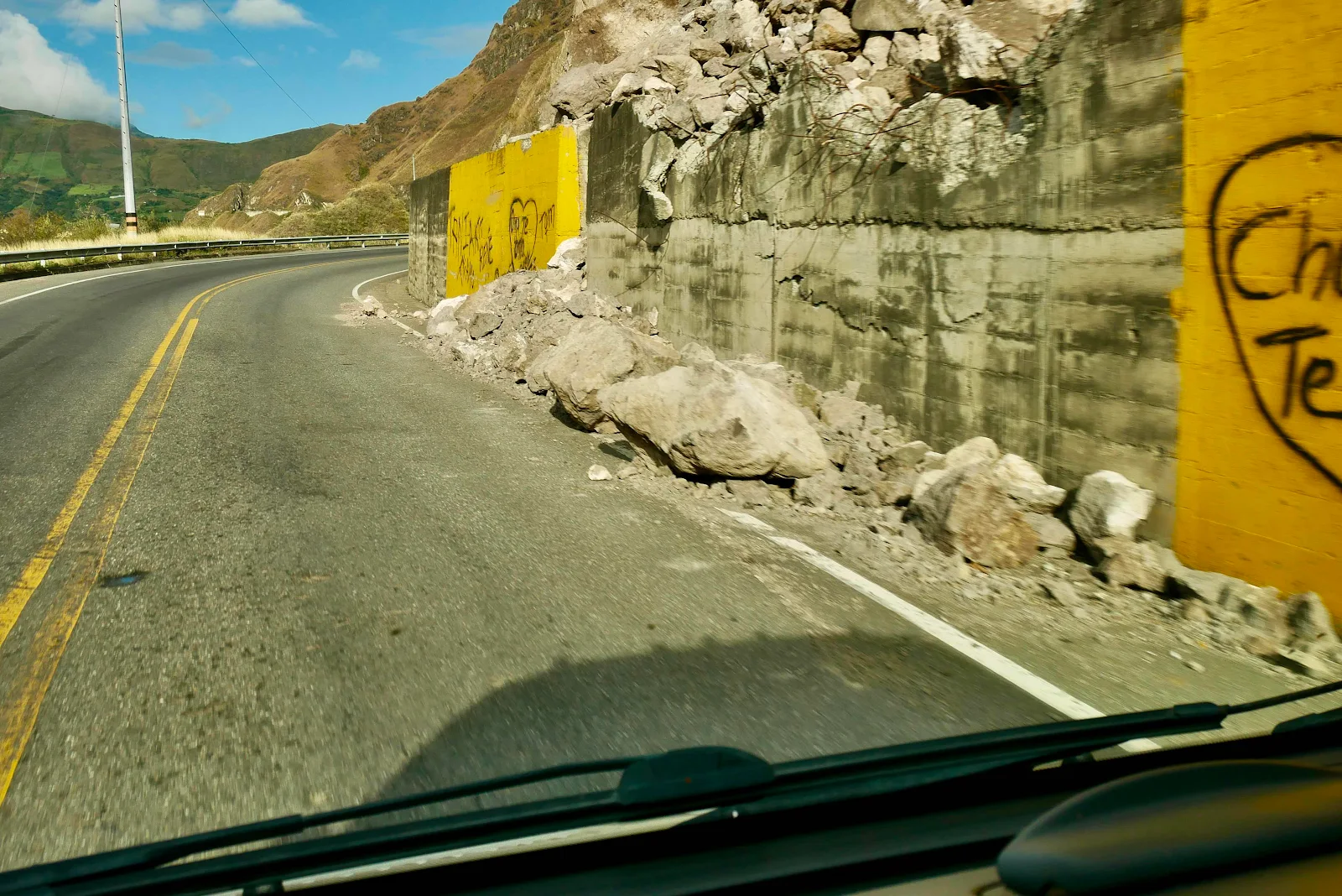
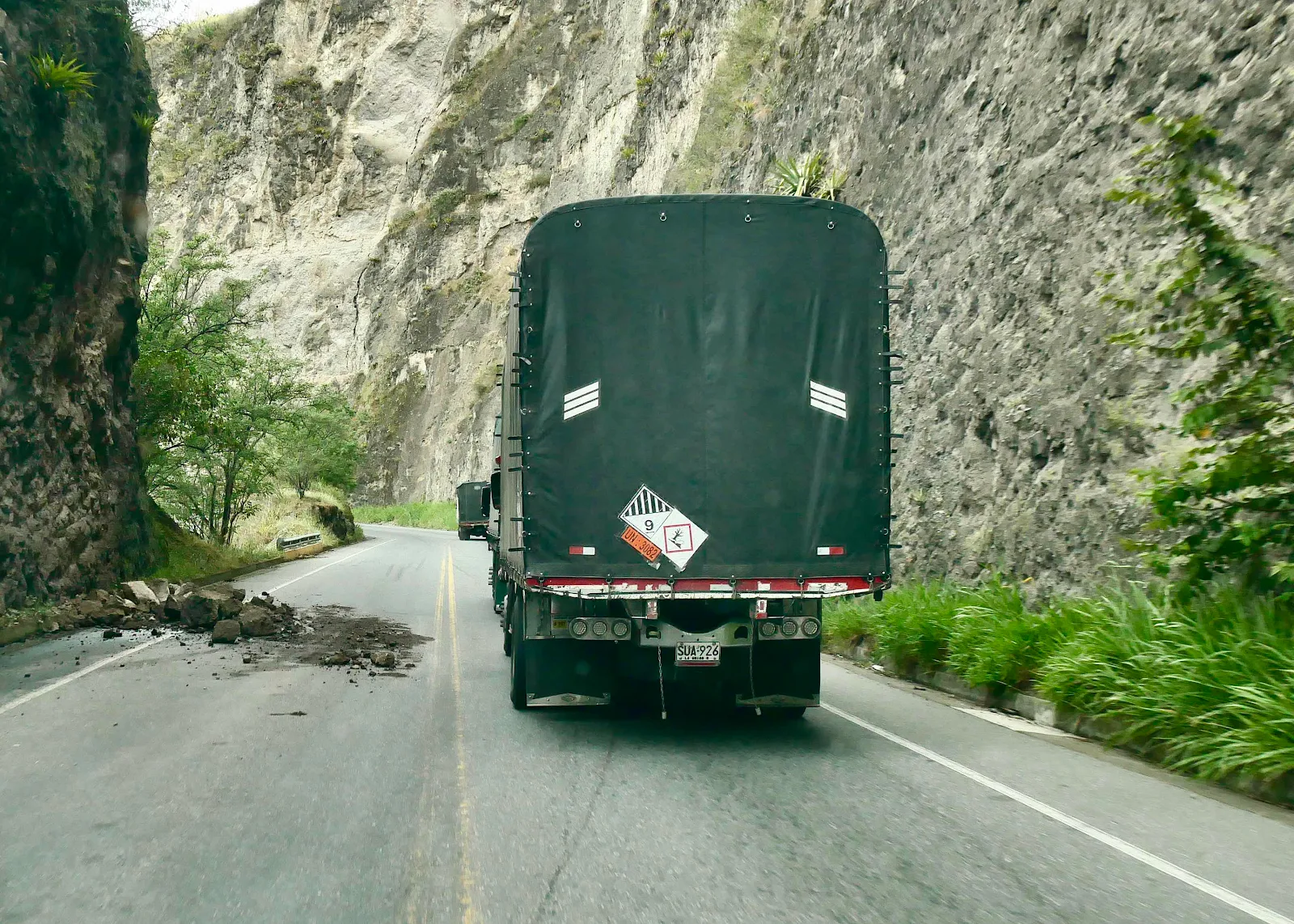
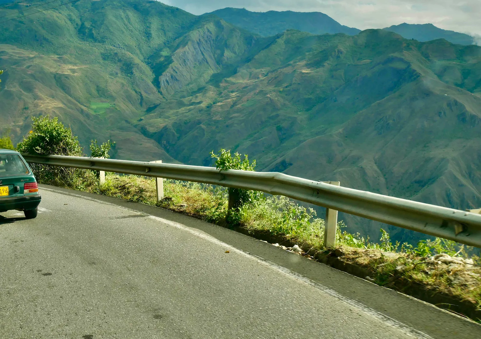
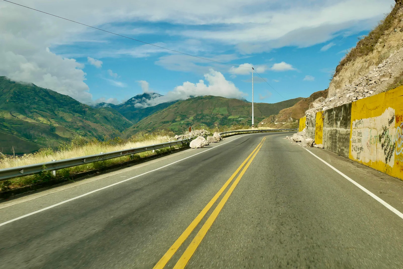
We saw evidence of unstable soil along the highway and it was not confidence inspiring.
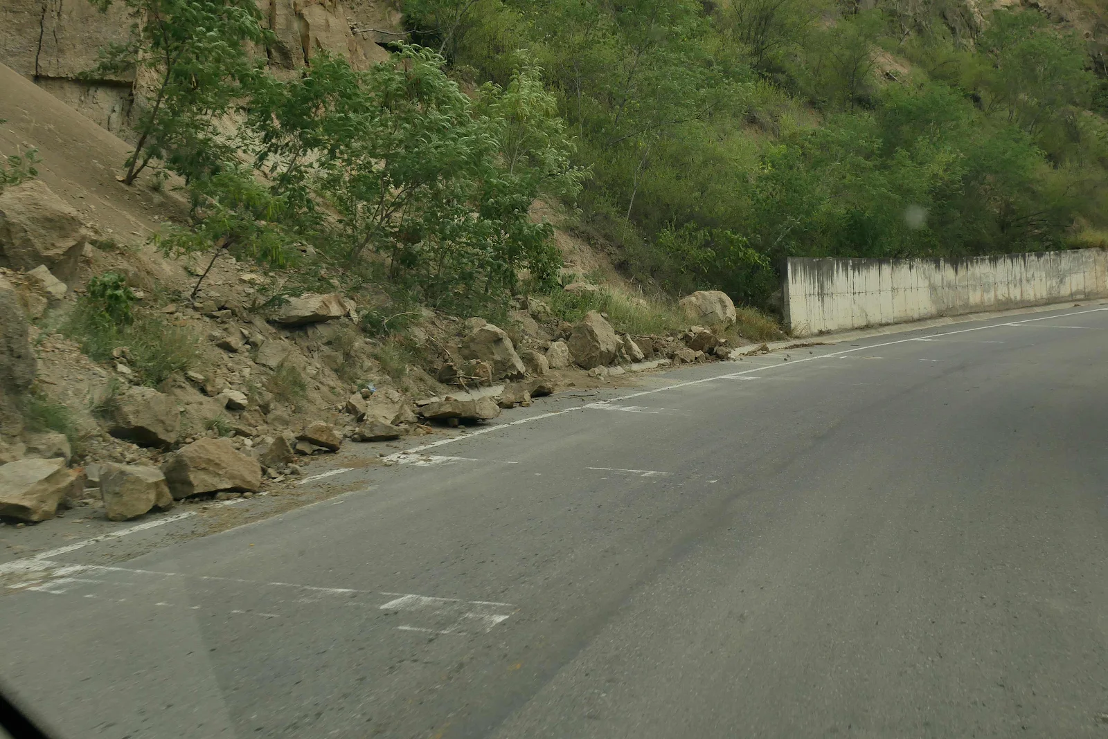
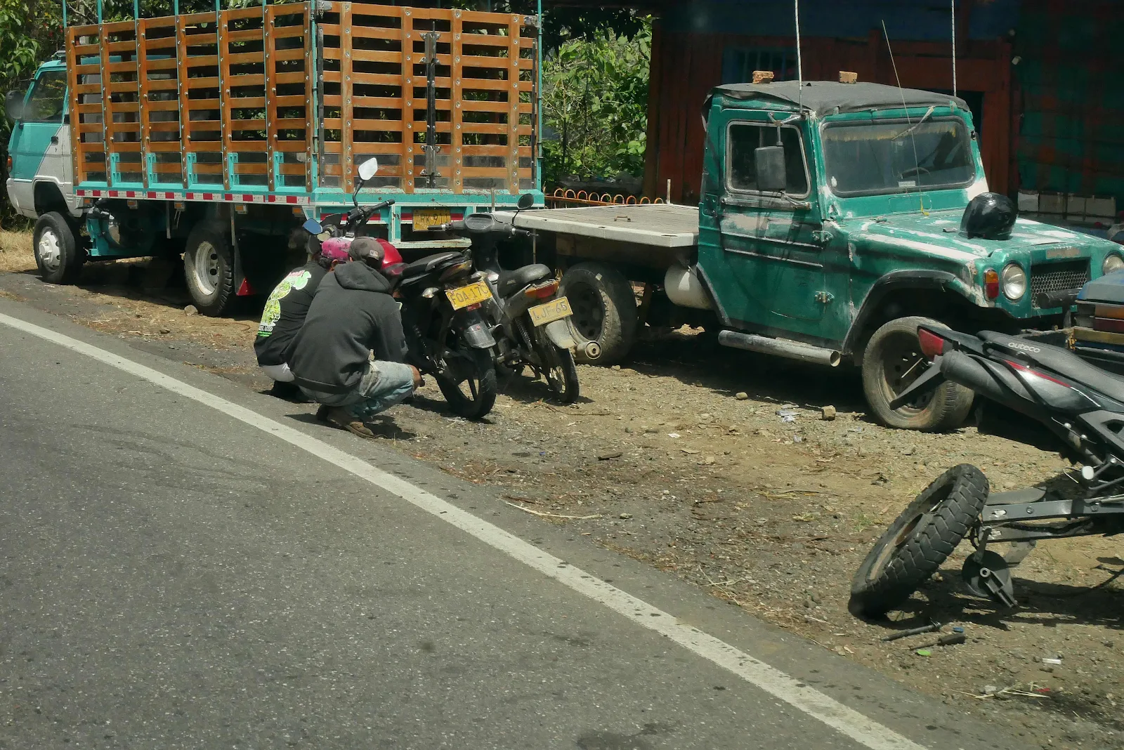
There were some rocks in the road, not photographed for reasons explained above but there was lots of evidence of slides.
There was one spectacular road dip where the highway slid a few feet and there it sits. Even the locals picked their way gingerly across the wrecked ends of the slide:
If the road had slid away into the void the authorities would have had to rebuild. Instead they have just ignored the mess. Imagine coming across this blind at 50 mph, and it’s worse than it looks. The truck stopped and proceeded very gingerly across the dirt.
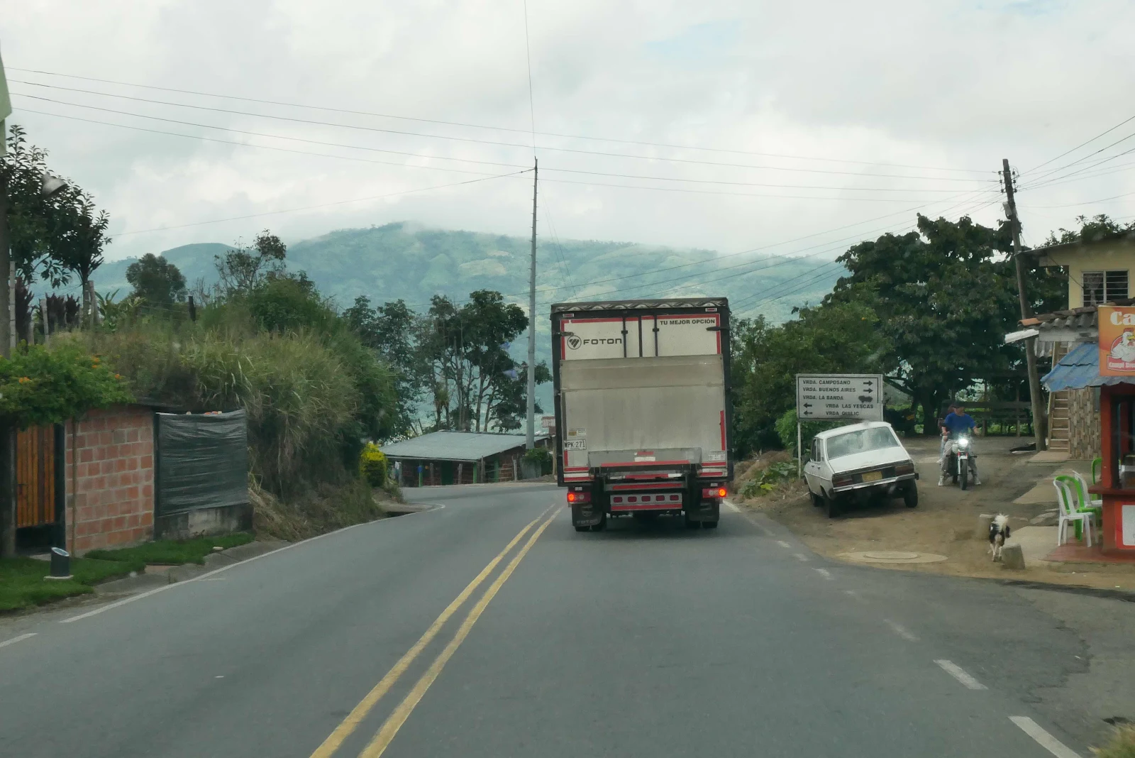
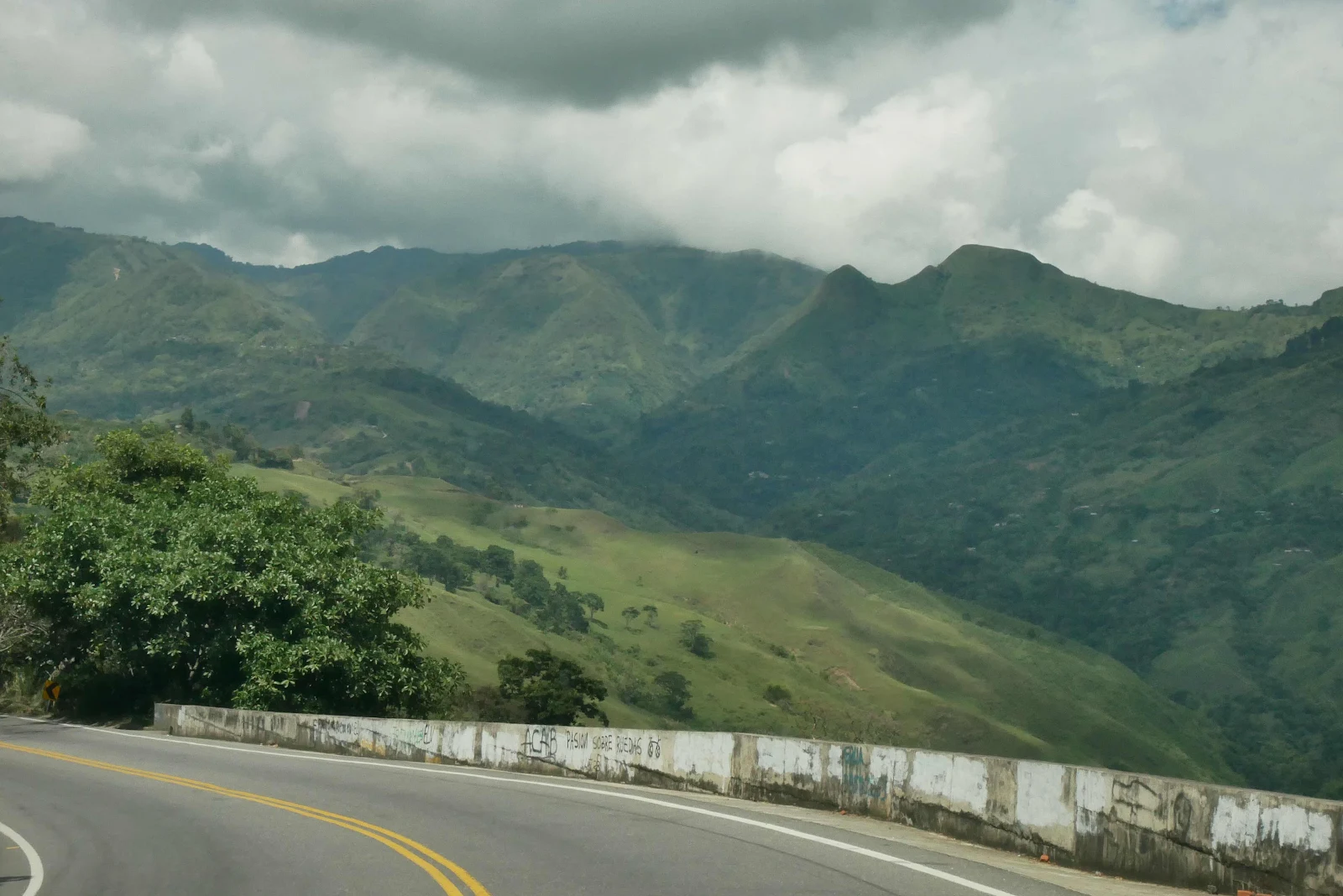
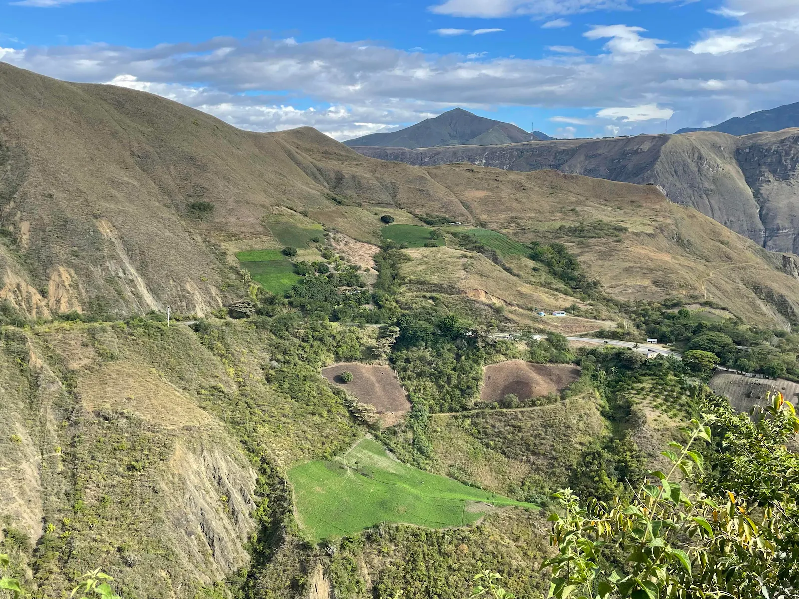
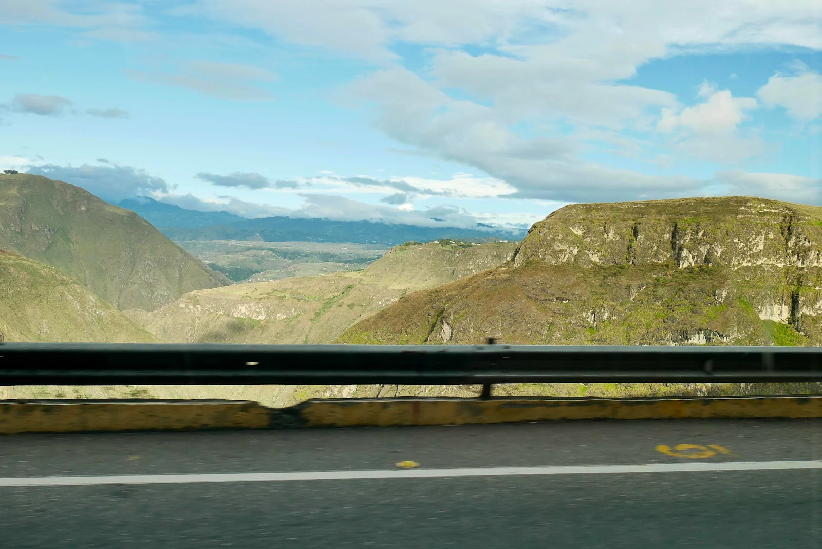
The drive was enjoyable in its way, an act of exploration through scenery that photographs snapped from the road cannot properly express. All I can tell you is we were above the tree line and we saw huge granite cliffs and sweeping folds and ridges in every direction. It was spectacular in ways we have never before seen. It was 130 miles and hours of rough bumpy road with random potholes through mountains that took our breath away.
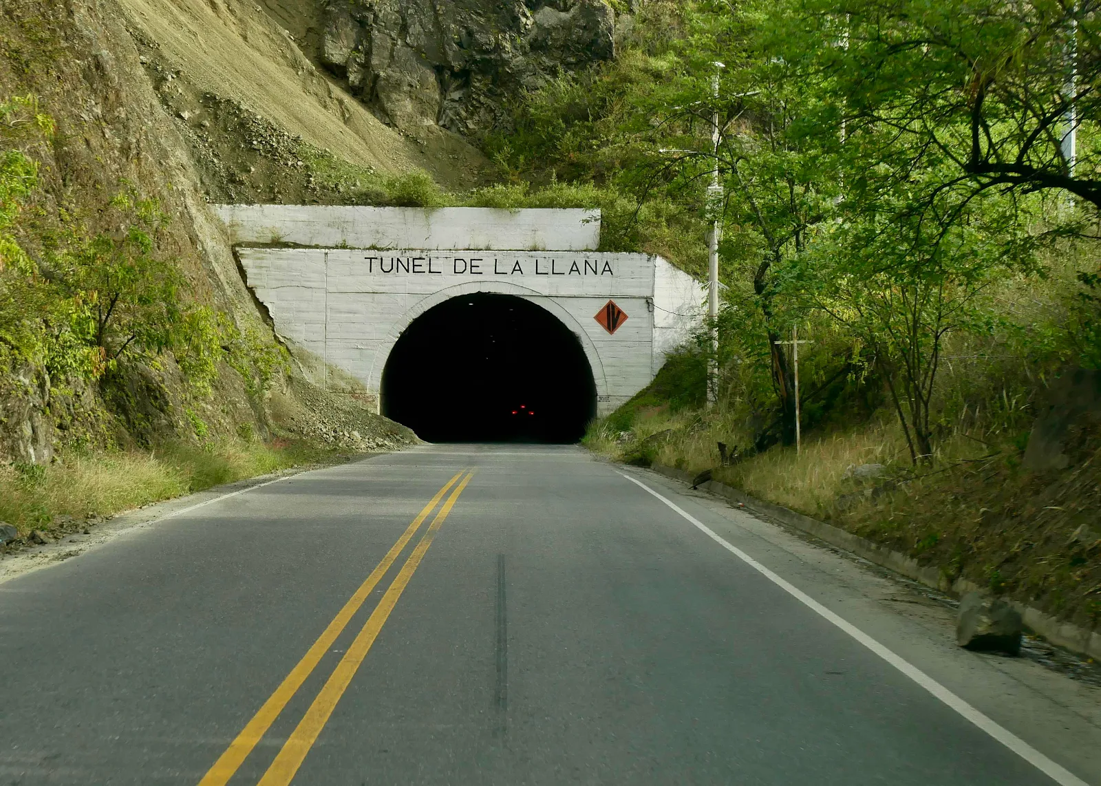
Driving with headlights on in a tunnel is a law not taken seriously in Colombia. Yeah, I had a few gringo moments in the dark, “why can’t they …?” me yelling into the void after another near miss. Note the mid slides at the entrance, which doesn’t help inspire confidence.
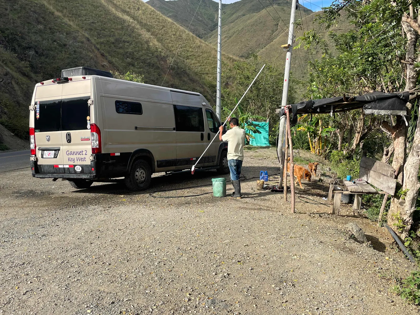
He wanted $7:50 to give GANNET2 a long overdue bath. I gave him $12:50 and fed his dog as much as he could eat. Rusty retired to his bed in a huff.
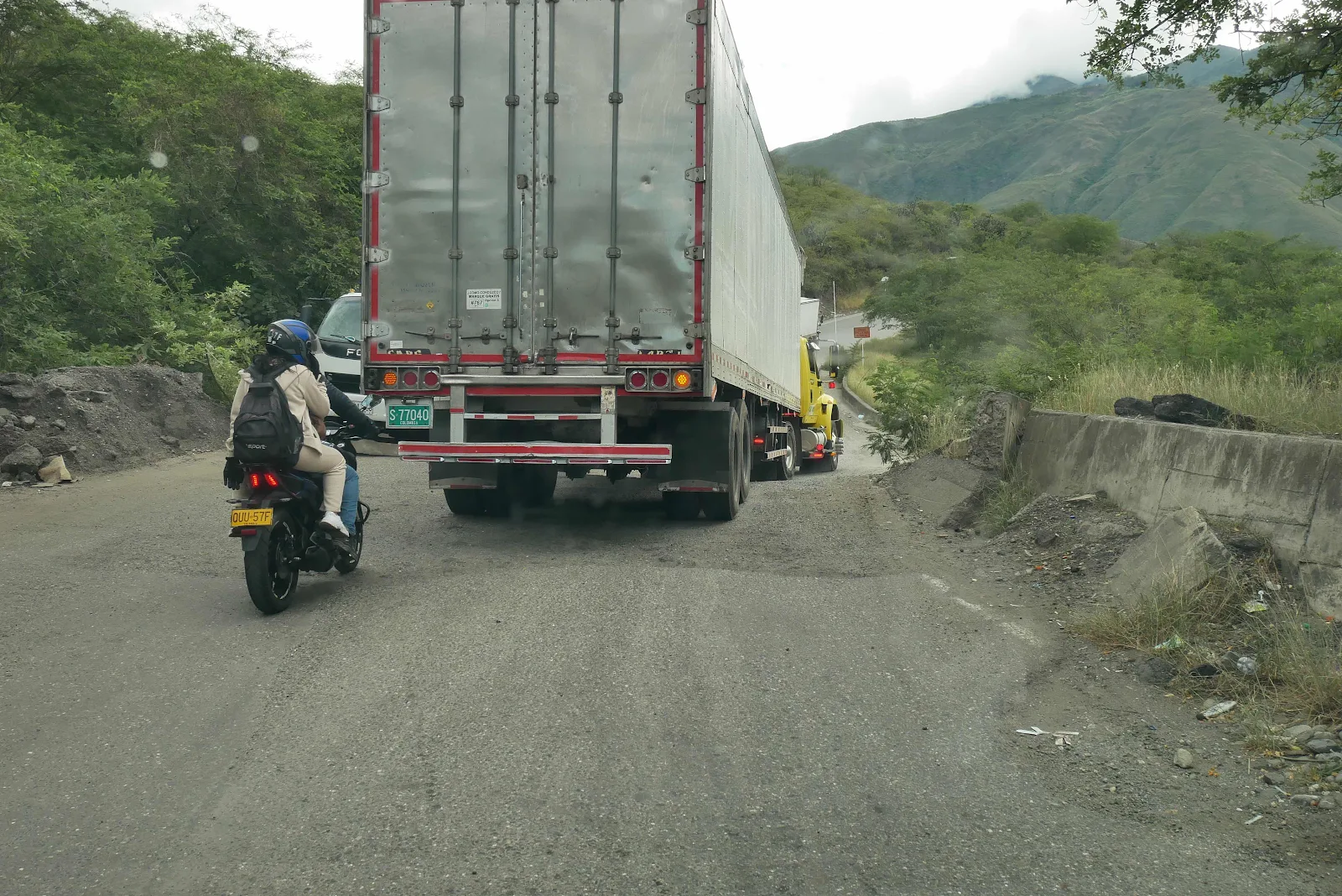
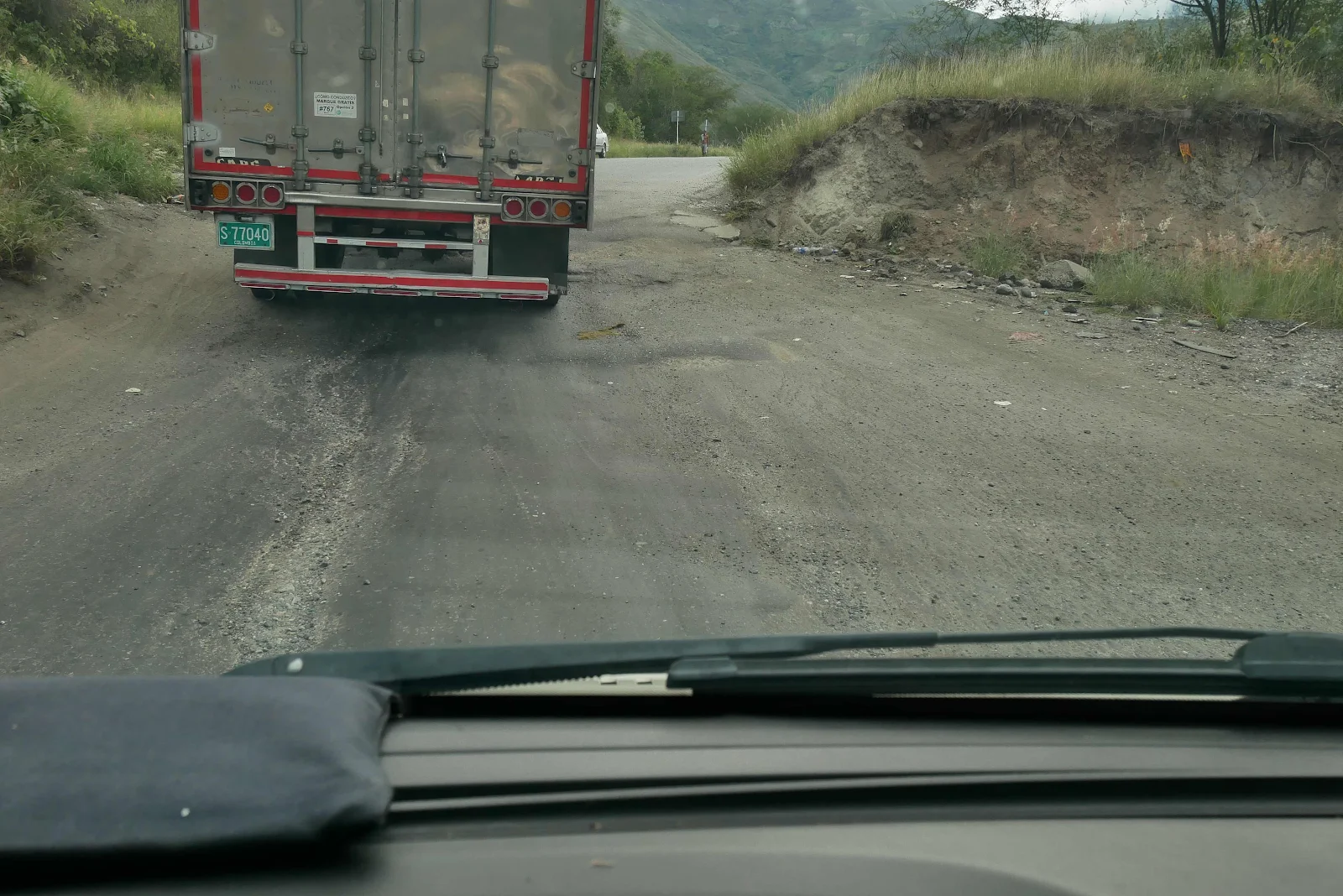
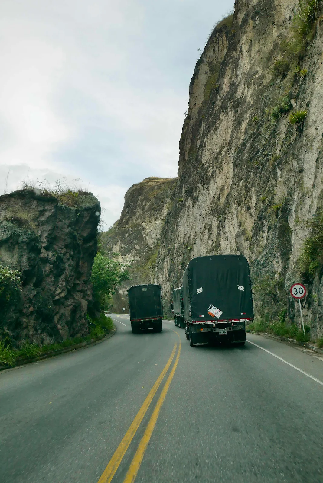
Passing as you do in Colombia. Every time I got ambition Layne flashed me filthy looks but passing safely is actually possible. Not necessarily like this:
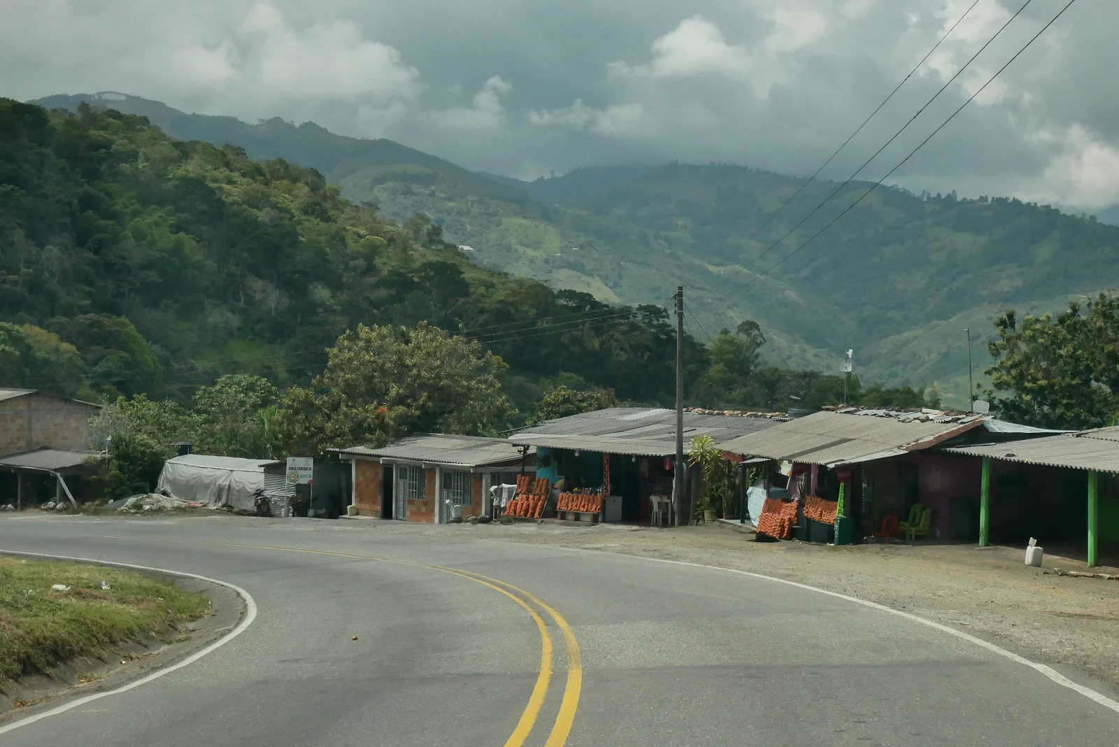
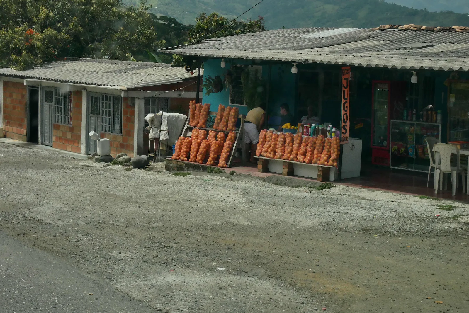
What a variety of landscapes on the road between Popayán and Pasto.
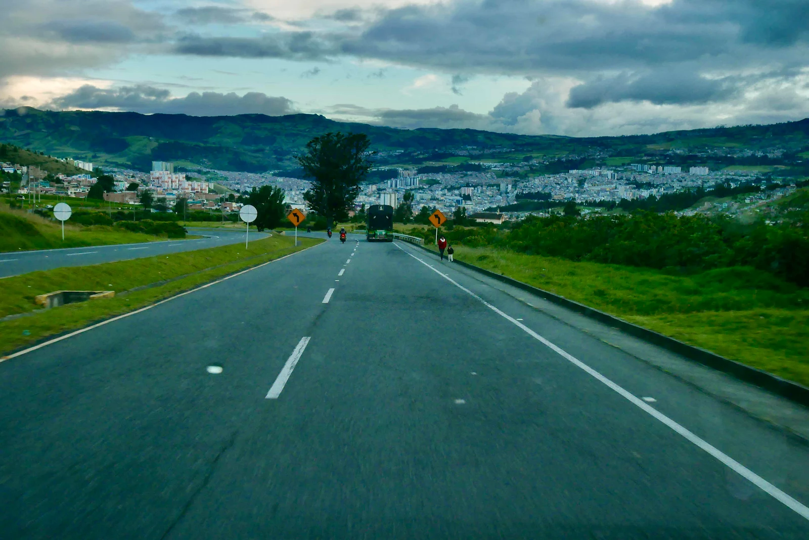
And there is the capital of the department of Nariño, the land that stretches from the Pacific inland along the border with Ecuador. It’s cocaine cowboy country, and totally unsafe to travel outside the narrow corridor of the PanAmerican. 90 more minutes south and we’ll be at the bridge into Ecuador. But that’s after Rusty gets his pet papers in Pasto.
We spent the night at a camping spot just outside the city at 9,000 feet at 1 degree 12 minutes North of the equator. The dotted line below shows the rest of our route to the border with Ecuador. We plan to cross Tuesday morning.