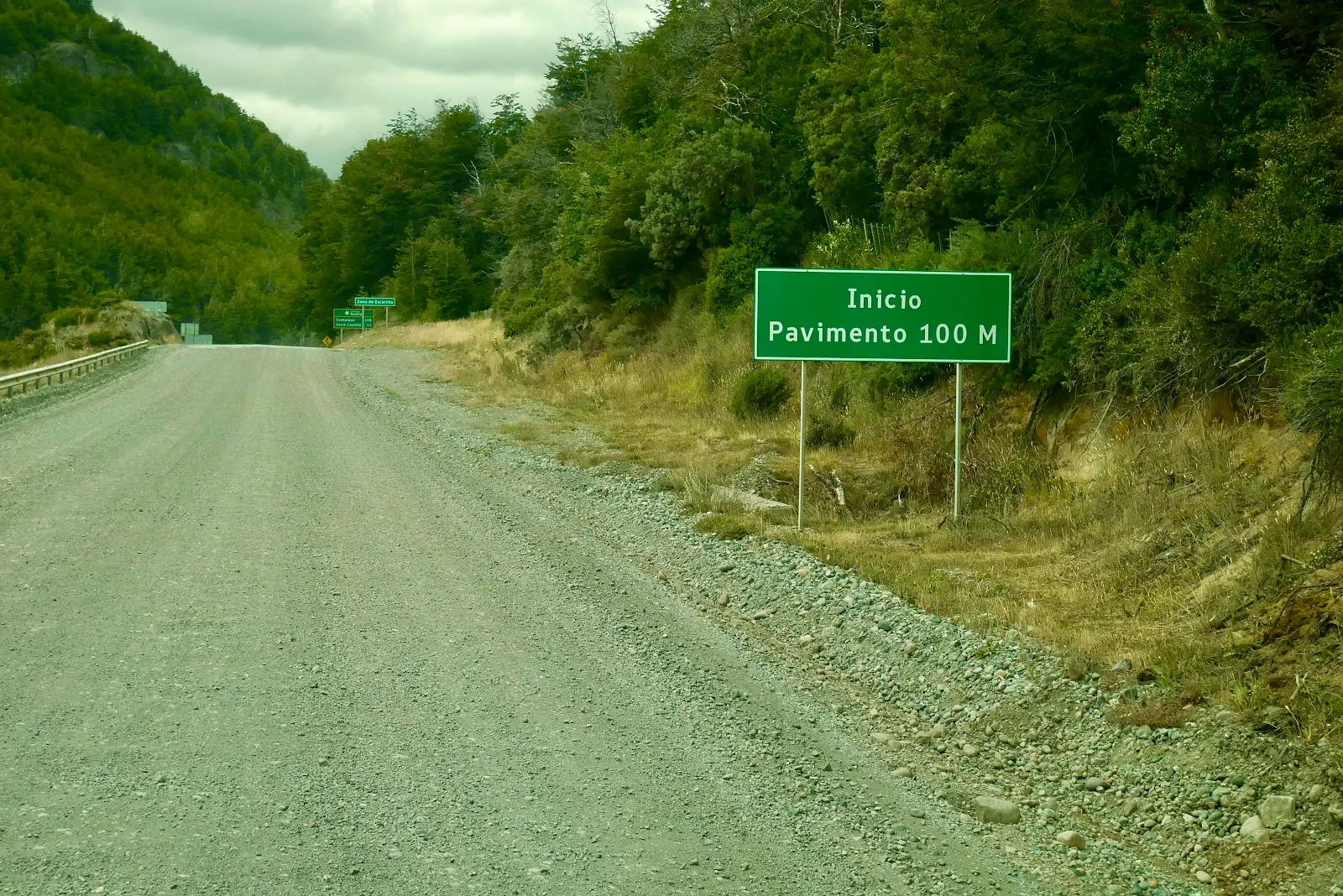
I saw the road sign saying the gravel was about to end, and even though I had checked Google satellite view and I was pretty sure it was supposed to end there, I was delighted to see the actual sign and pavement in real life in front of me. What a relief at last.

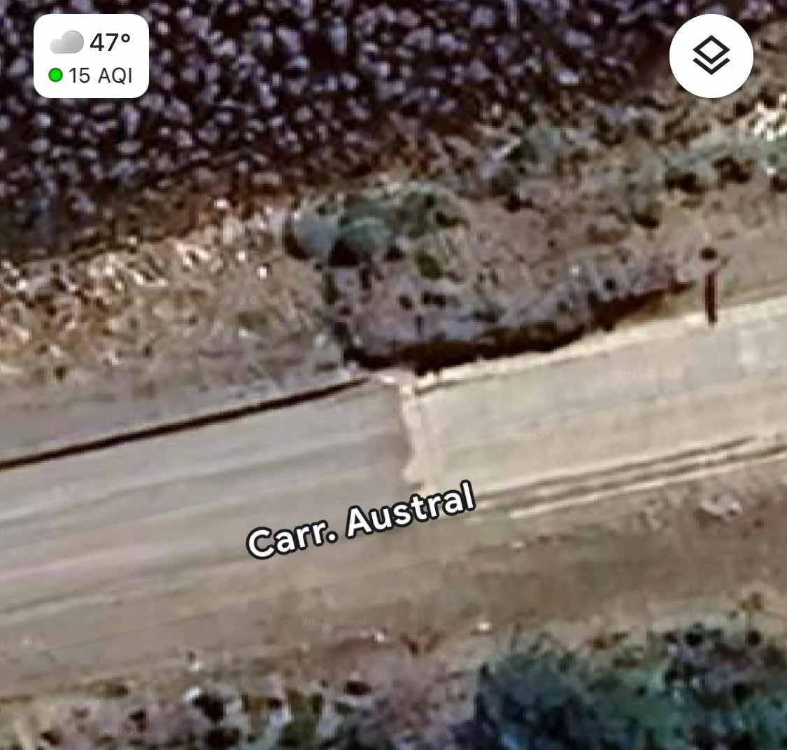
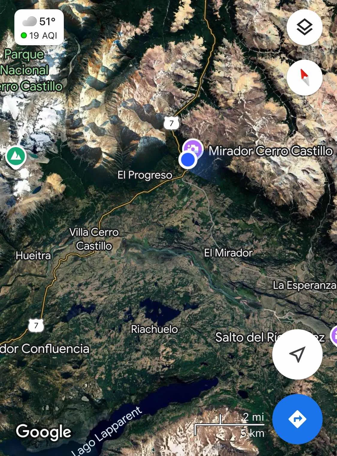
I mostly check locations using the satellite view and this spot looks like this:
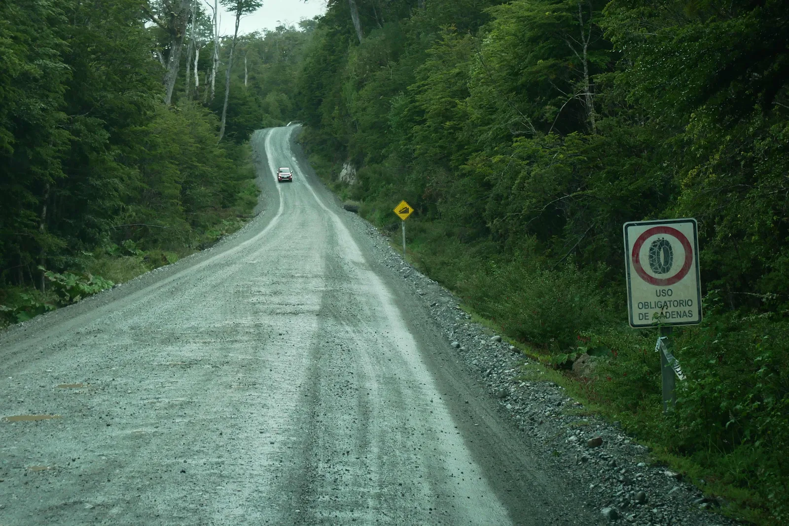
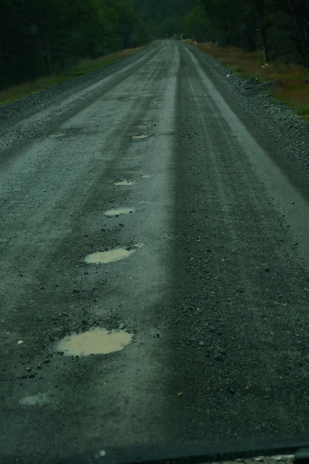
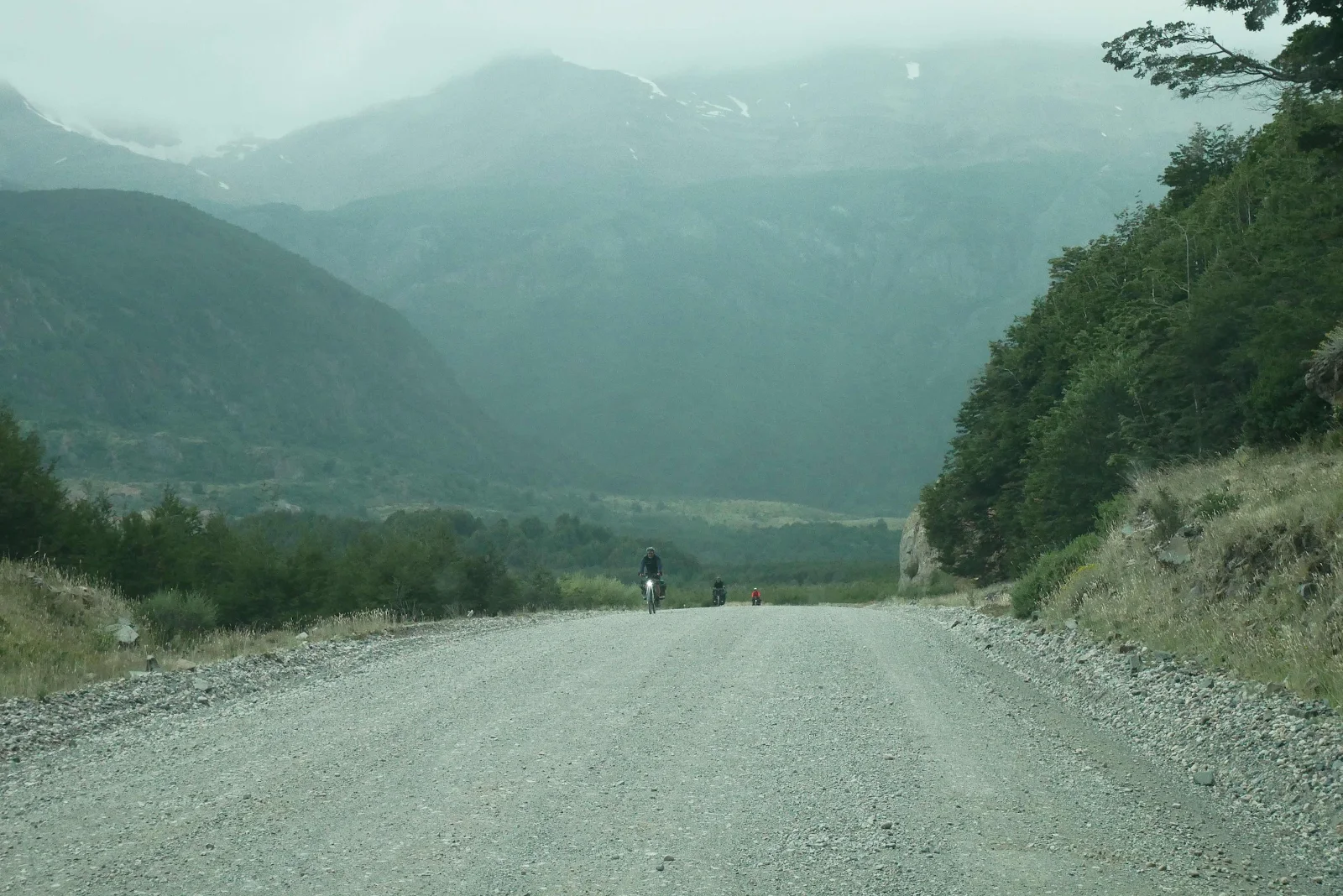
We started the day with 43 miles of gravel ahead however it has been raining the past two days so at first the road was just wet crap and not dusty which was a welcome change; kind of…
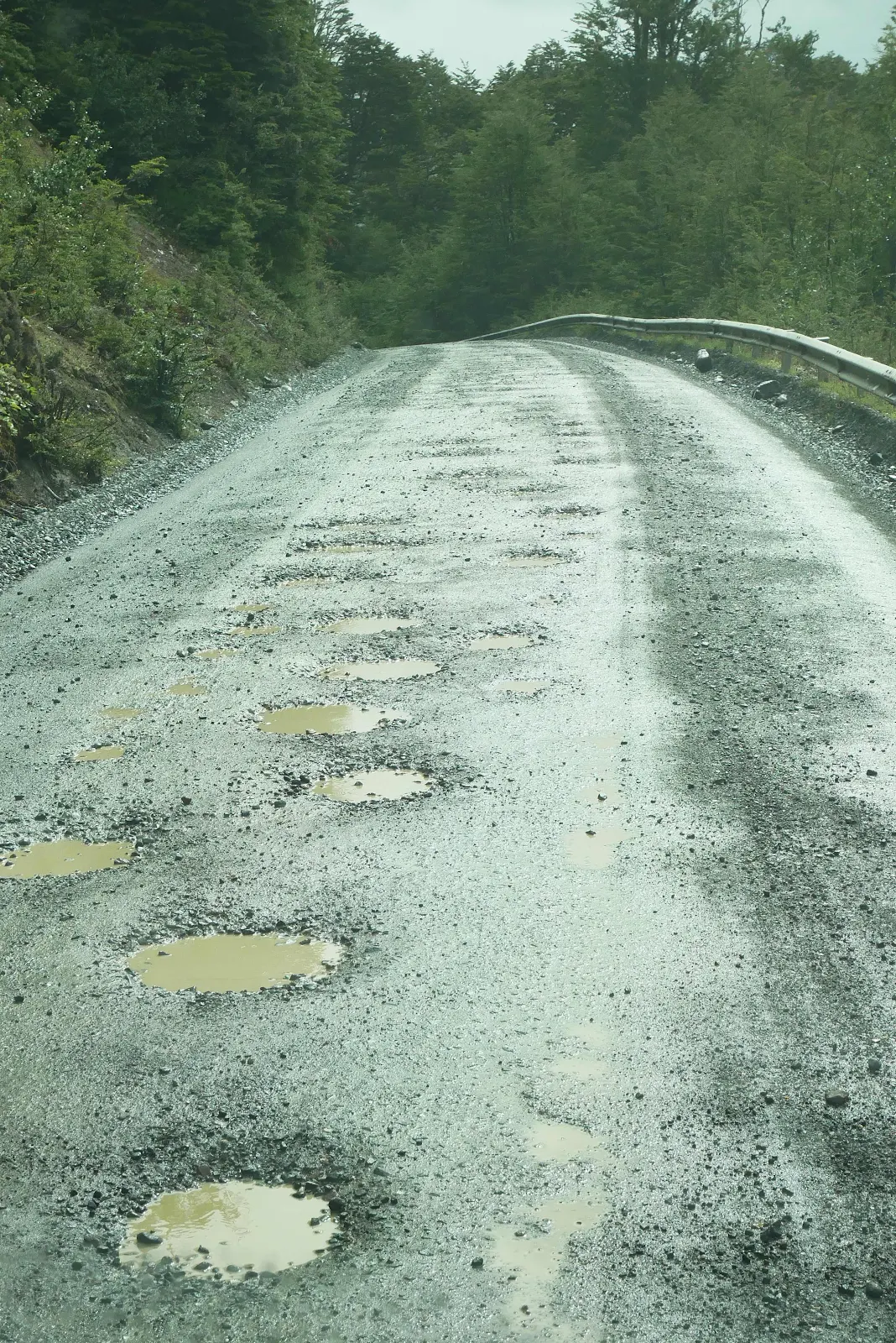
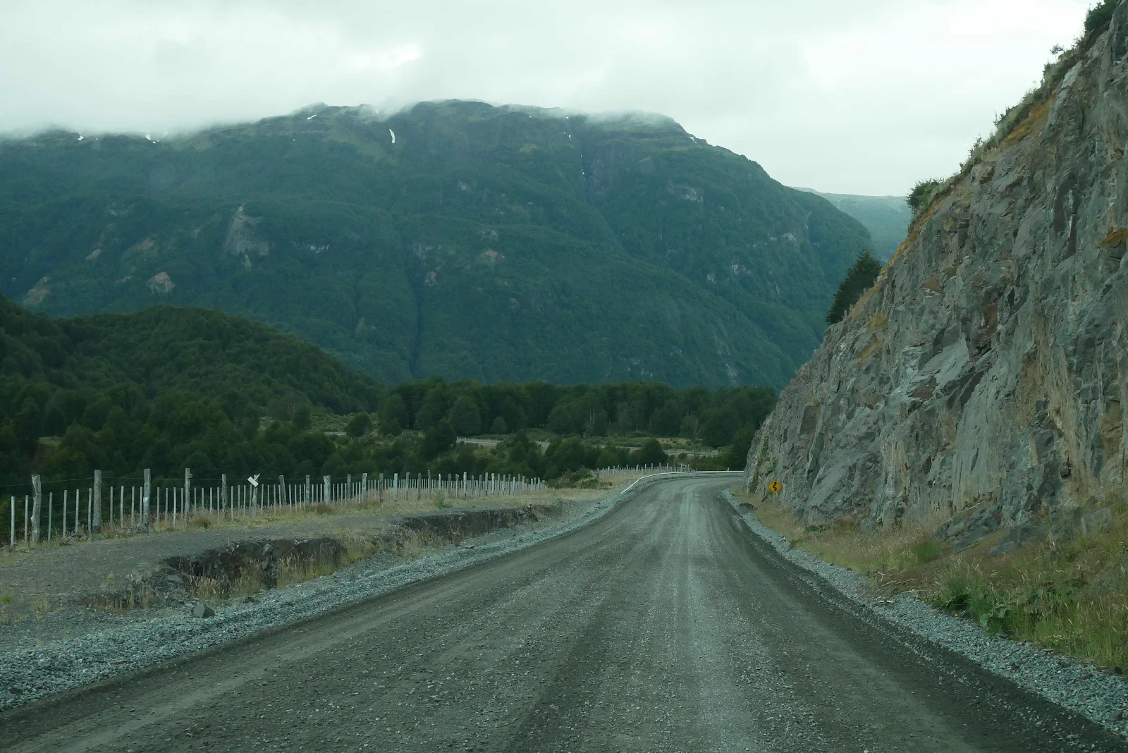
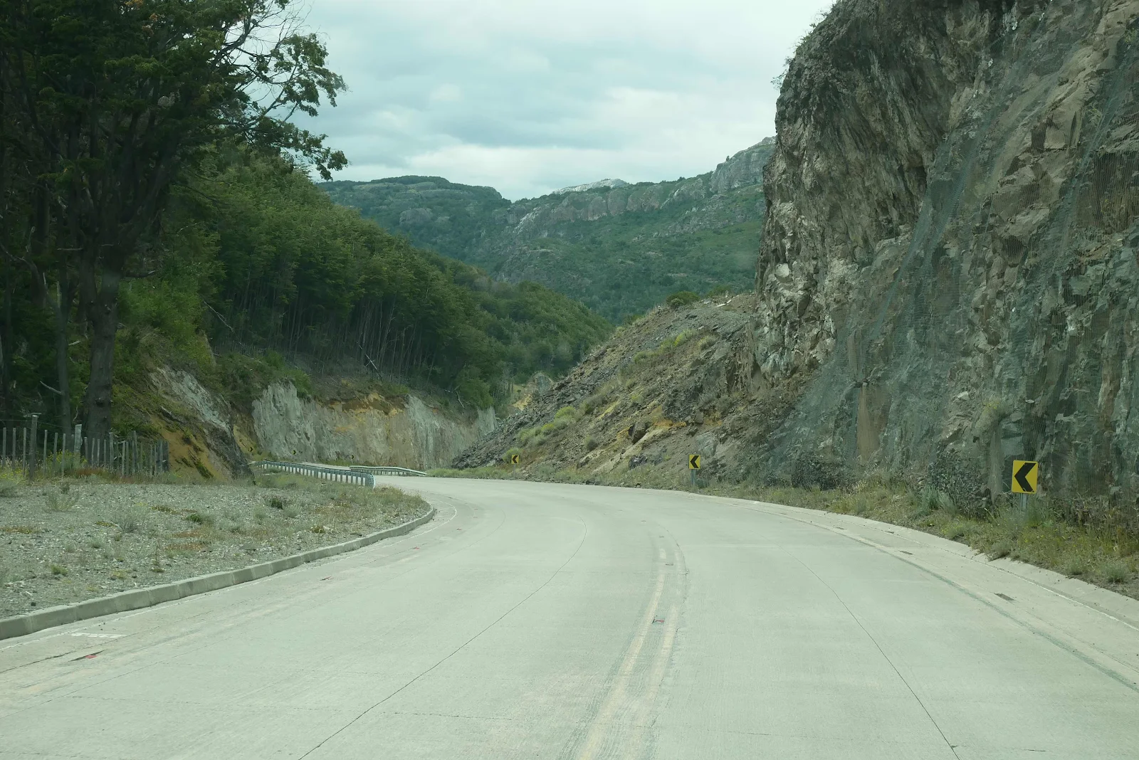
It took us three hard hours from leaving our river campsite and arriving at our lunch stop just shy of the pavement. If you can see past the road the scenery was outstanding.
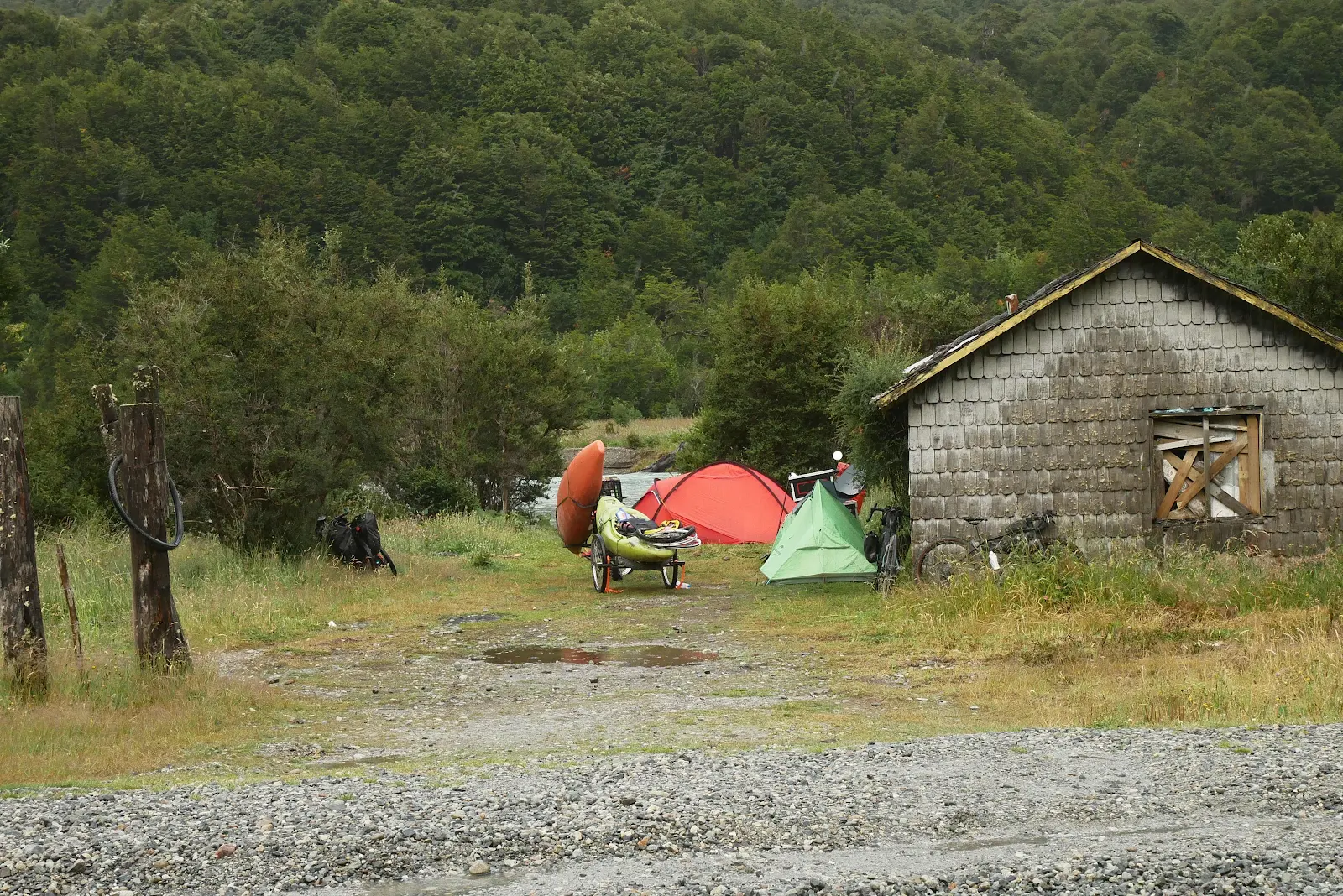
We backed out of our wild camp spot, a place that we had stopped in for two nights and seen lots of campers and picnickers come and go. We went.
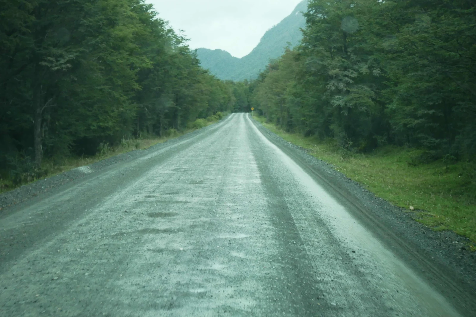
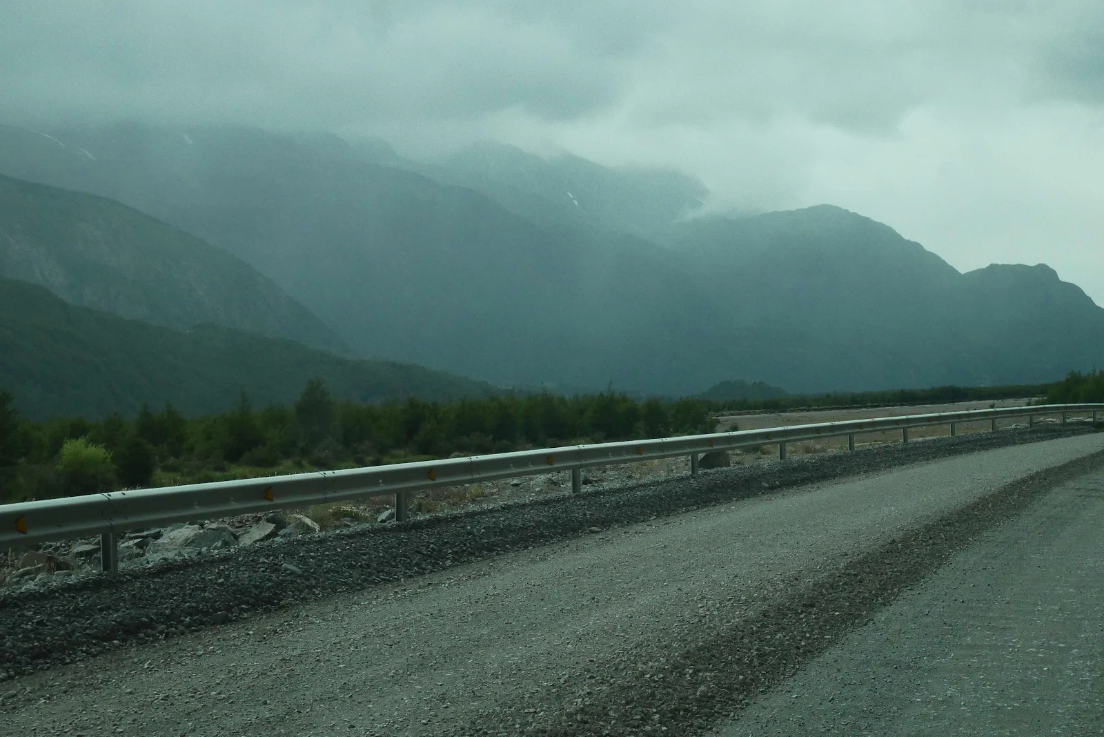
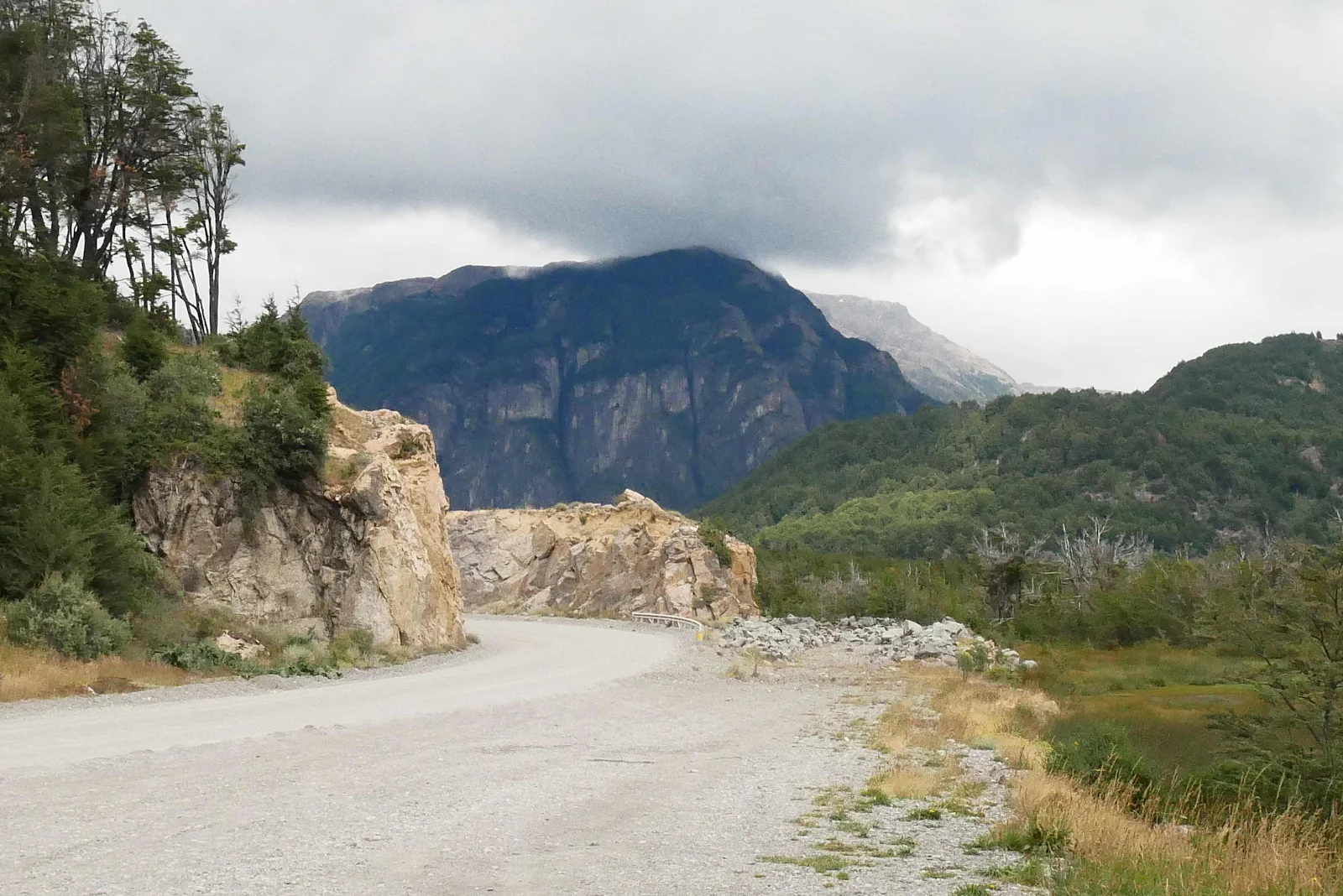
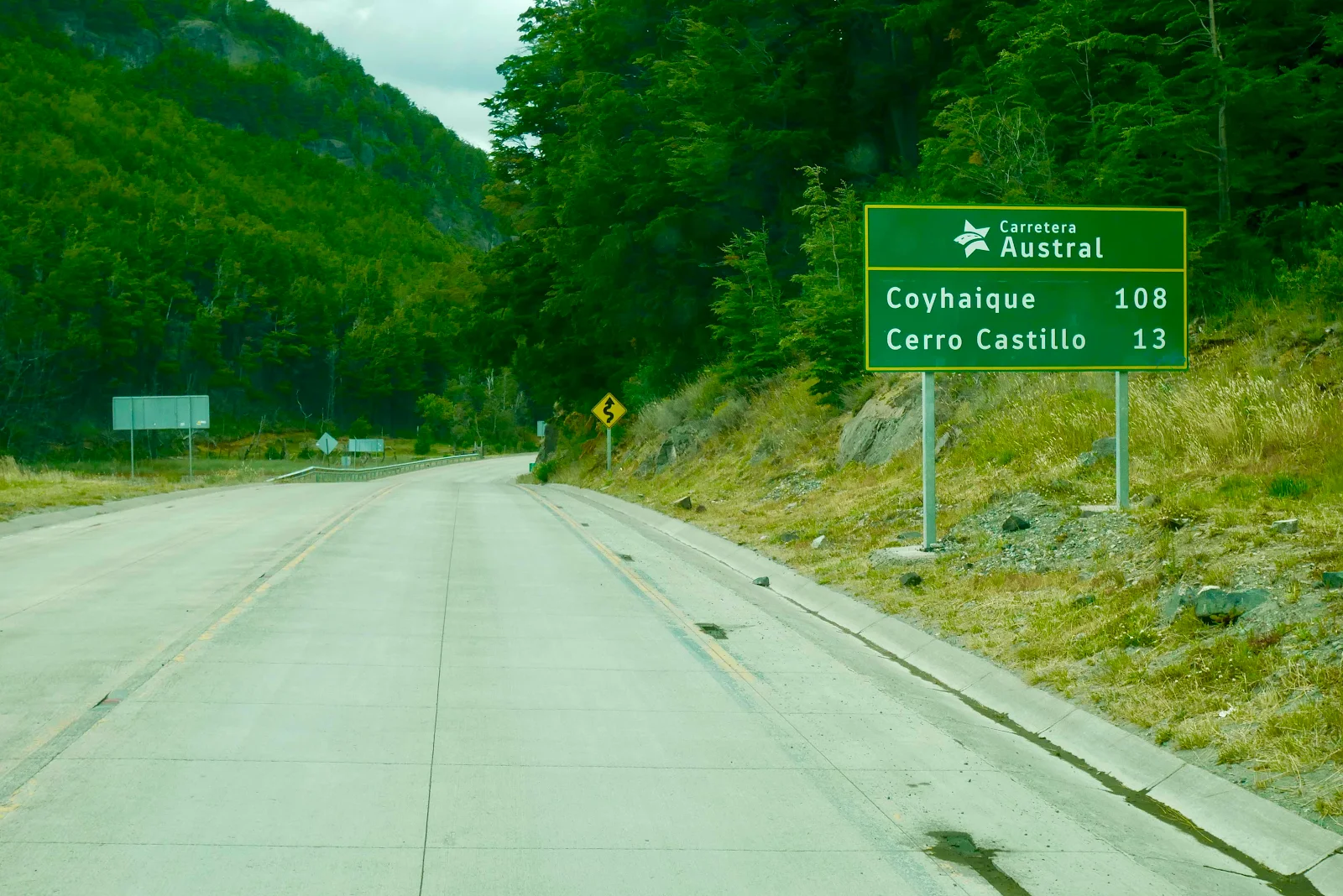
The Carretera Austral, Ruta 7 driving toward Villa Cerro Castillo a small town fifty miles to the north. You can see specks in these photos because it was raining hard enough the wipers couldn’t keep the windshield completely clear. The temperature was 48 degrees so our powerful cabin heater was extra nice when we looked out at touring motorcycles and bicycles.
From Wikipedia:
“ The Carretera Austral provides road access to Chile's Aysén Region and southern parts of Los Lagos Region. These areas are sparsely populated and despite its length, 800 miles, the Carretera Austral provides access to only about 100,000 people. The largest city along the entire road is Coyhaique with a population of 53,715 in 2010.”
This is an iOverlander mentioned pull out and as we drove by we saw a group of cyclists sheltering from the day next to the abandoned house:
“Construction of the highway was commenced in 1976 under the military dictatorship era in order to connect a number of remote communities. Before that, in the 1950s and 1970s, there had been unsuccessful attempts to build access roads in the region.[3] It is among the most ambitious infrastructure projects developed in Chile during the 20th century. The engineering corps of the Chilean Army used thousands of conscripts from 1975 to 1985 to build the road. Dictator Augusto Pinochet is said to have made annual visits well into the 1990s to follow the progress of the road. General Hernán Abad was for long in charge of its construction.”
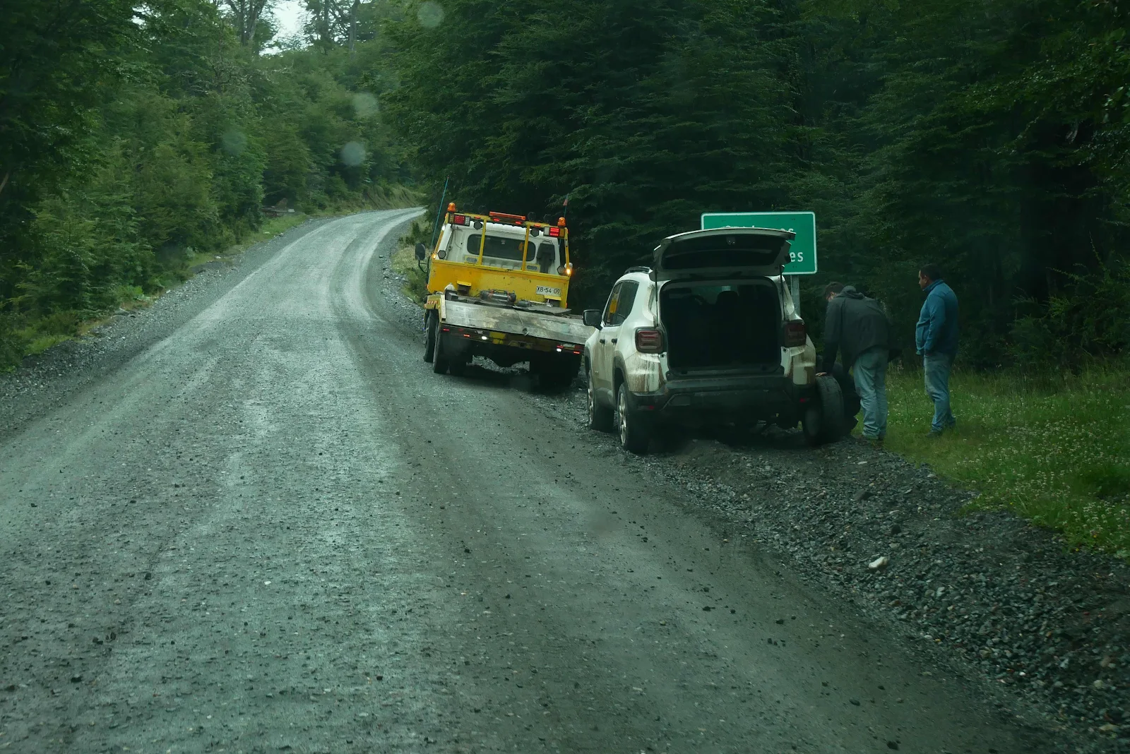
I was surprised and delighted to see a tow truck doing sterling work helping with what appeared to be a flat. I photographed the WhatsApp phone number on the truck in case of need… you never know.
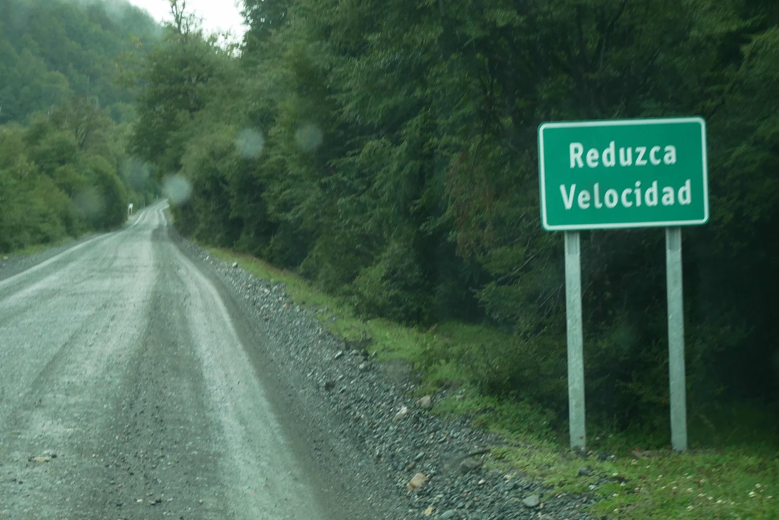
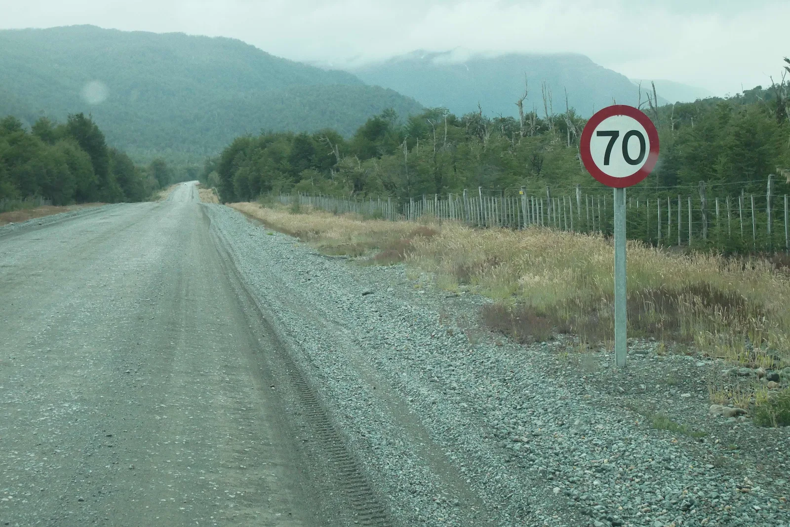
From the department of stupid signs “slow down” Thank you Captain Obvious, but if we slowed down anymore we’d be going backwards. 15 mph was not too comfortable for us in our five ton van.
“As it was constructed during the military dictatorship, the Carretera Austral bears the unofficial name of the Augusto Pinochet highway.”
I have read the only public monument to the dictator Pinochet in Chile is located near the southern end of the Carretera Austral, not that we’ve seen it.
“ Carretera Austral has a strategic meaning due to the difficult access by land to a significant portion of Chile's southern territory. This area is characterized by thick forests, fjords, glaciers, canals and steep mountains. Access by sea and air is also a complex task due to extreme winter weather conditions. For decades, most of the land transportation had to cross the border to Argentina in order to reach again Chile's Patagonia. These difficulties were deepened during the 1970s due to the Beagle Conflict. In order to strengthen the Chilean presence in these isolated territories and ensure the land connection to the rest of the country, the government planned the construction of this road, which was executed by the Chilean Army's Engineering Command. More than 10,000 soldiers worked on its construction.”
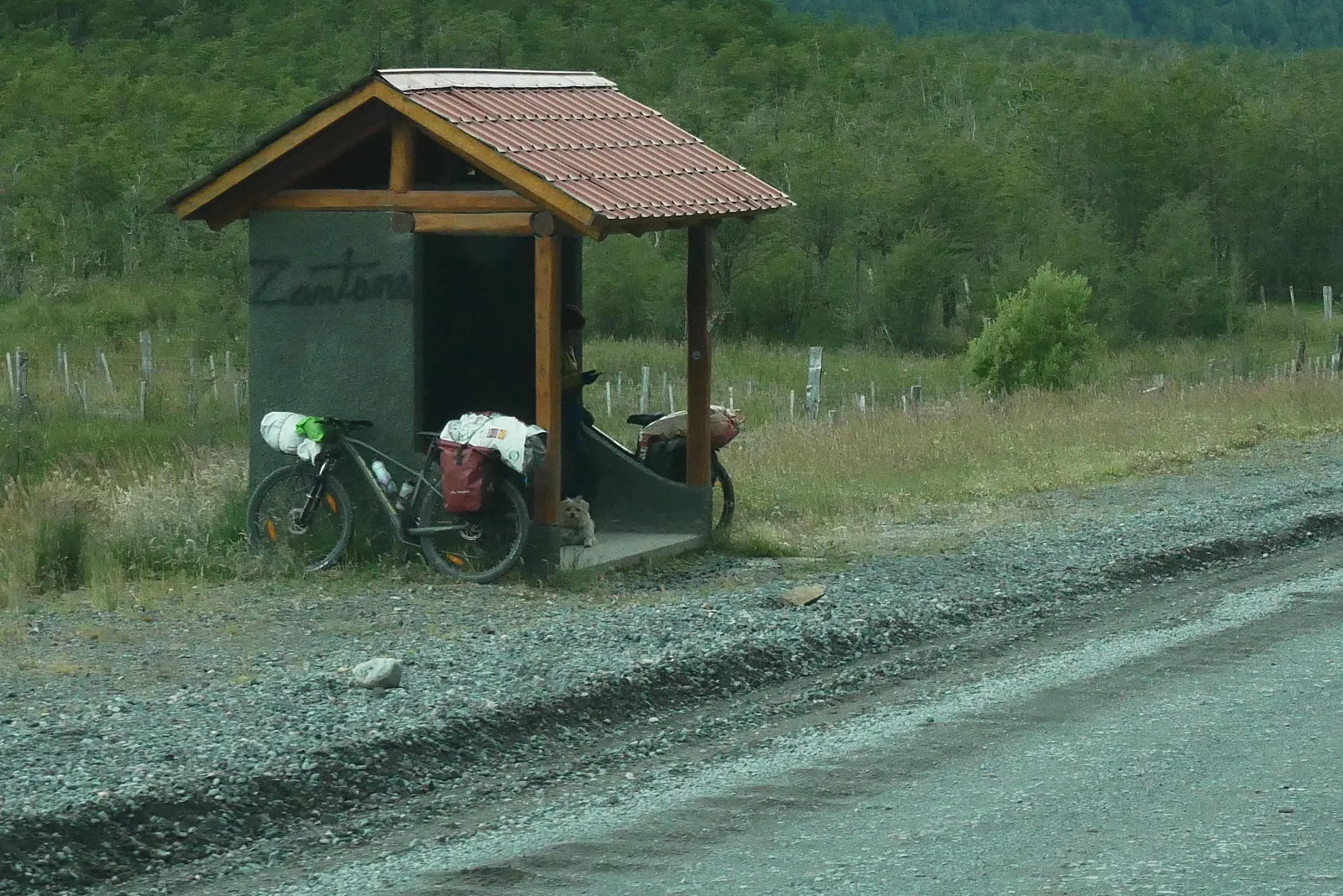
We saw dozens of cyclists and there are no dedicated shelters for them here as there are in Tierra Del Fuego so bus stop shelters will do in a pinch.
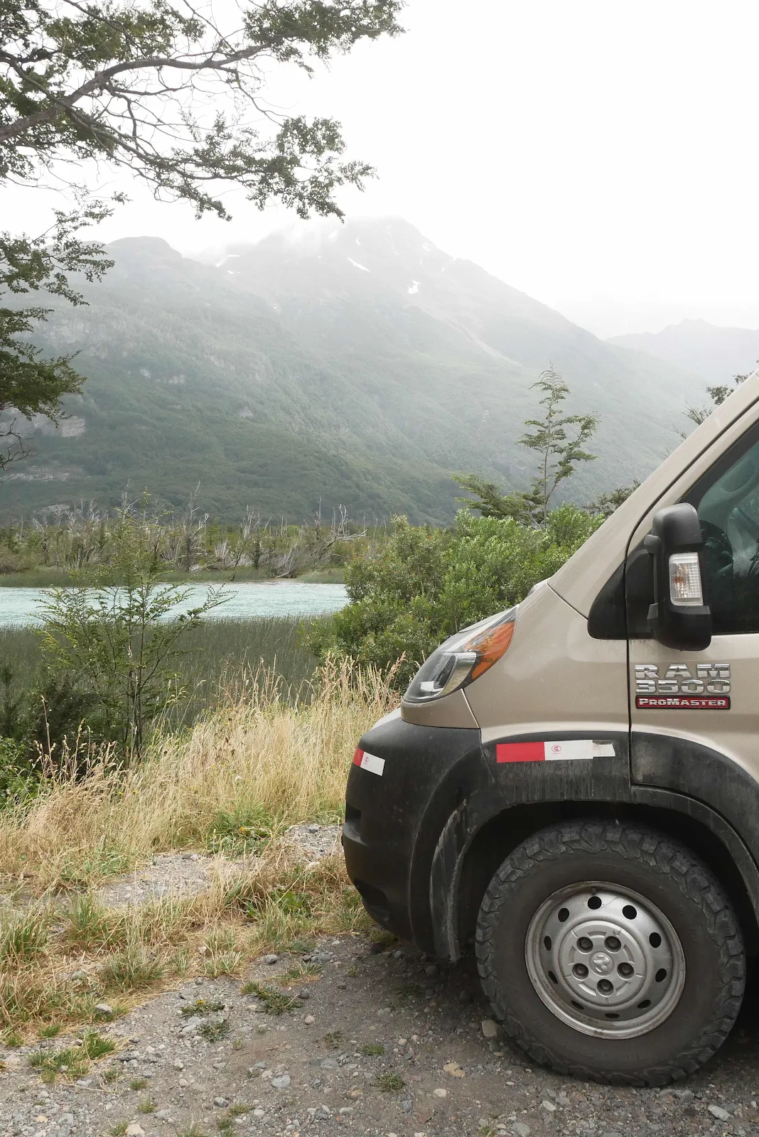
And everything is fenced which is why open areas alongside rivers near bridges make good wild camping spots. Or you can sleep in occasional rest areas or vista points:
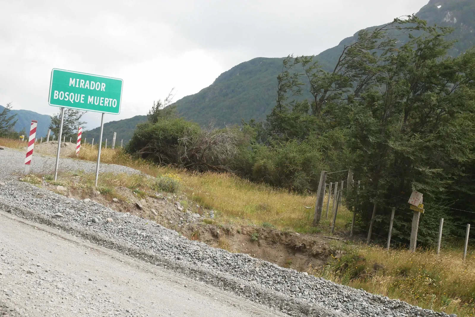
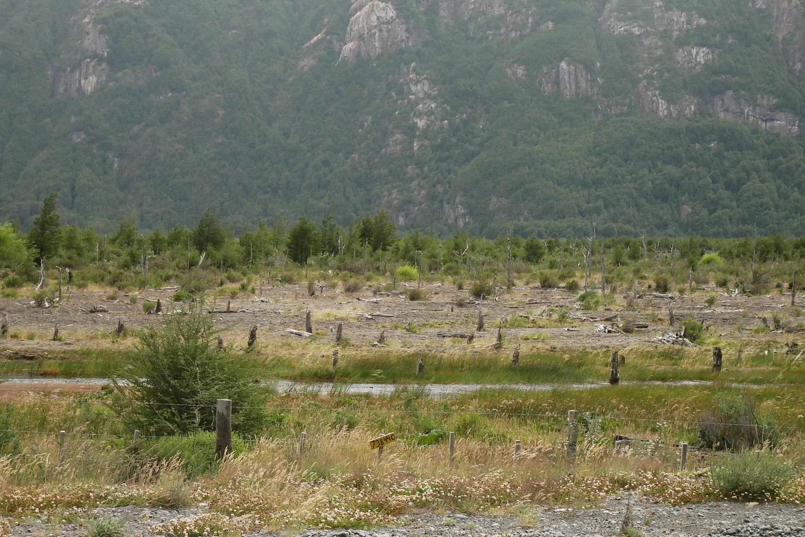
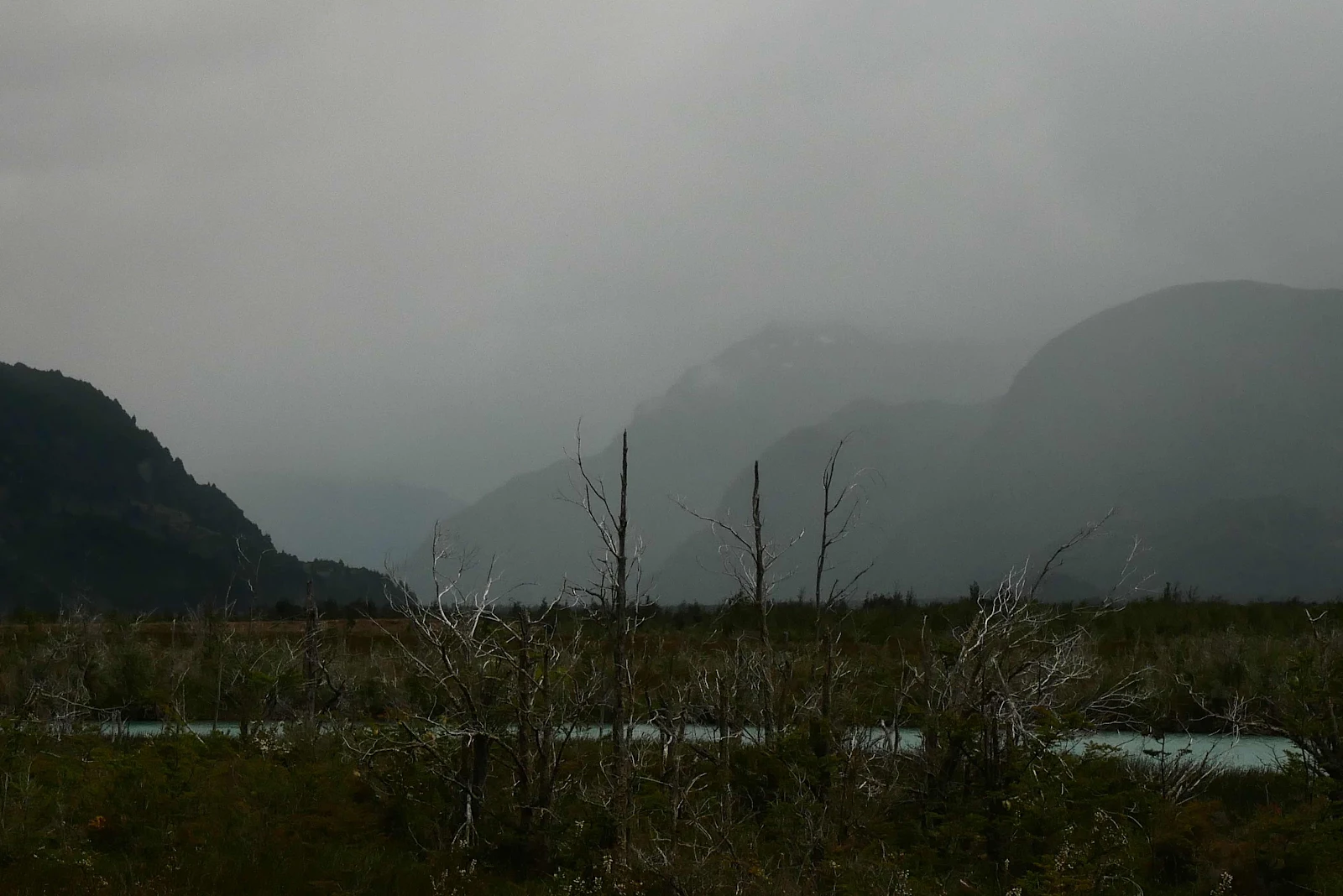
This Mirador (view point) is called “dead forest view point…”
…and with good reason:
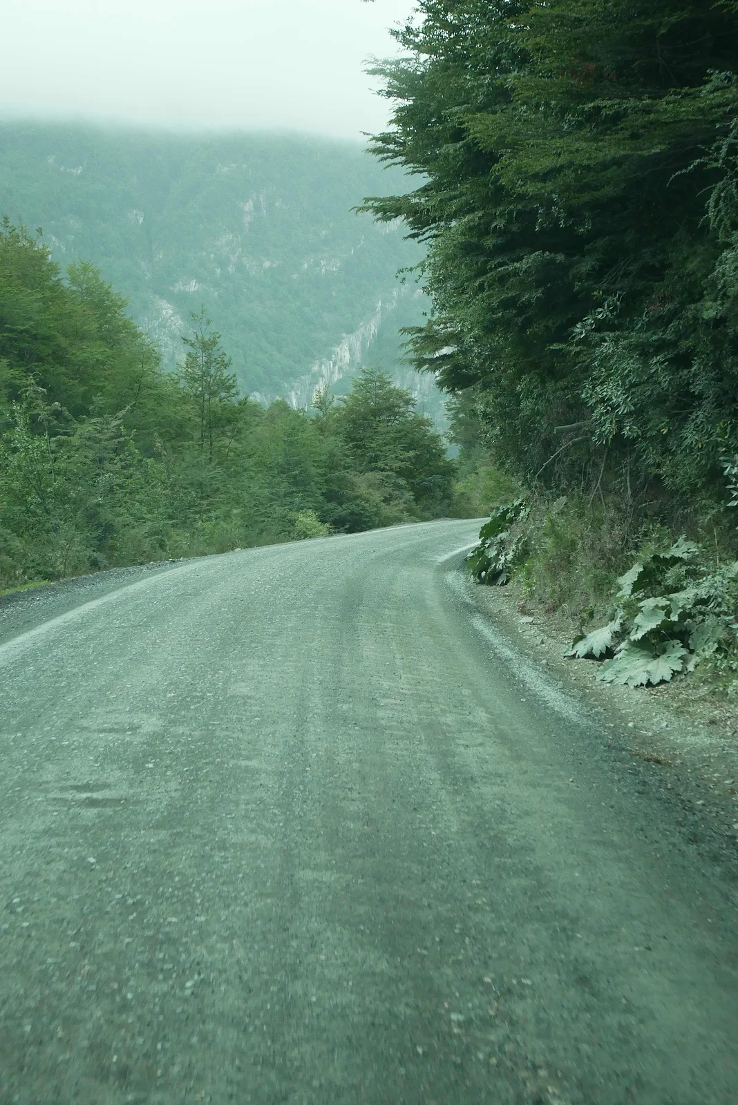
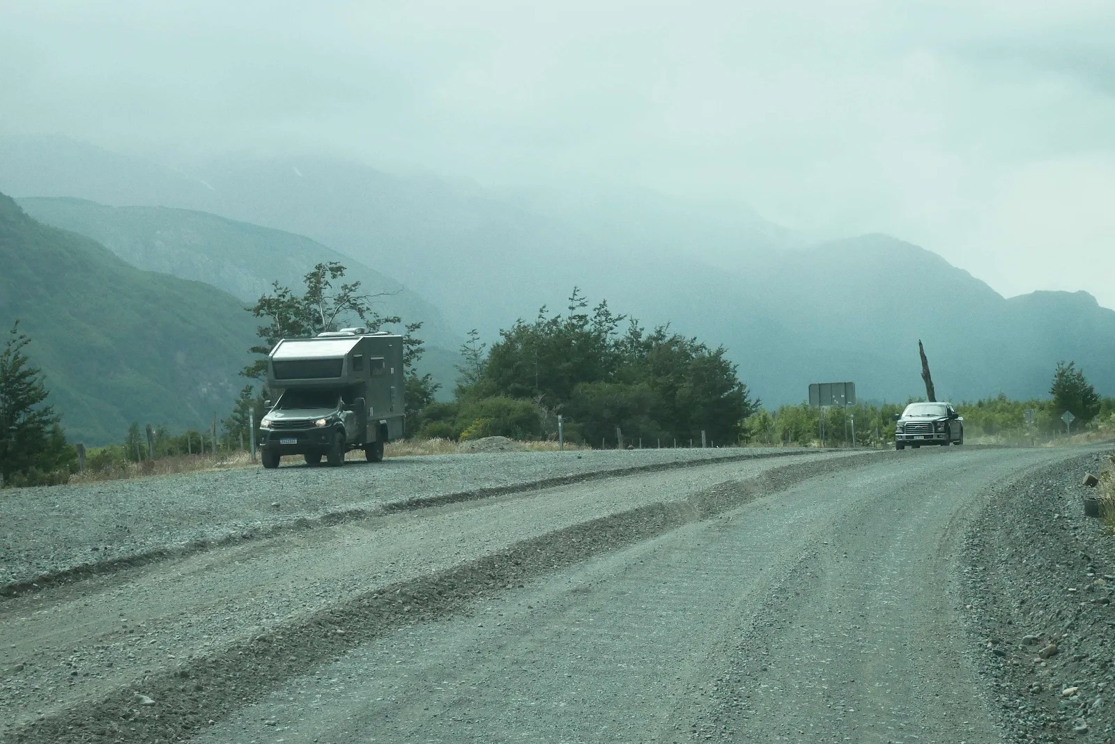
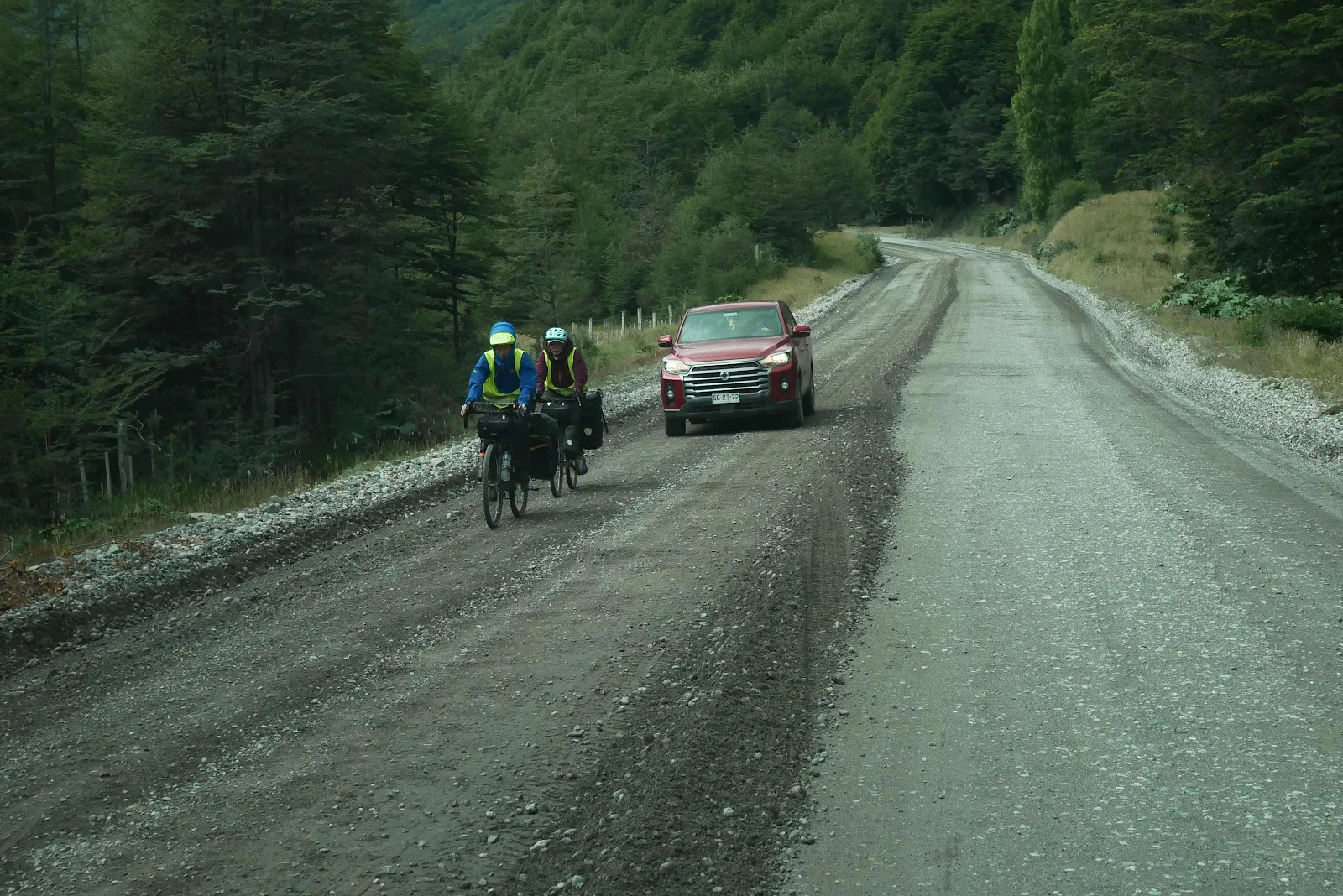
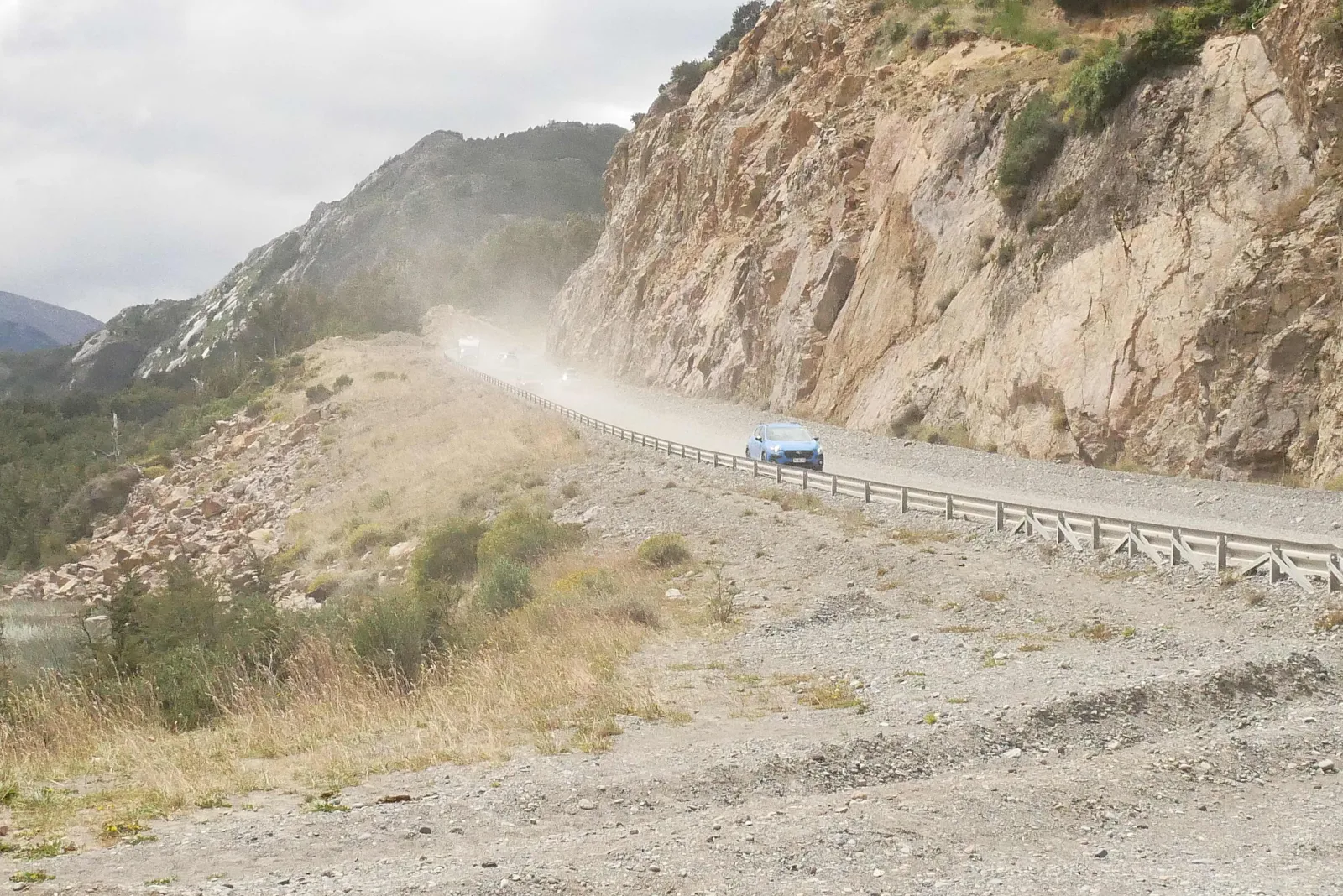
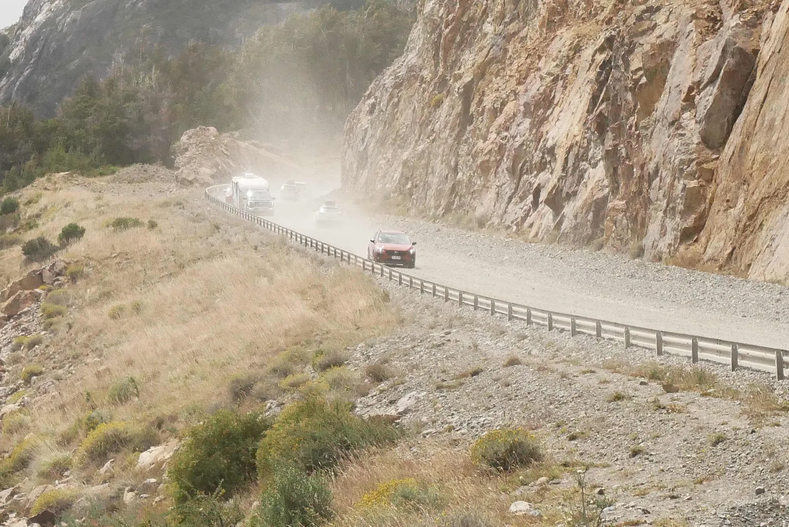
The pile of gravel in the middle of the road came from recent grading and it was annoying to us as it pushed us to move faster to accommodate following traffic. It lasted several miles and the road wasn’t that well graded either.
After we passed them, the car in the photo pulled across the gravel ridge and in turn passed the bicycles. I can only imagine how impatient the driver got as everyone (except us) is in a hurry here.
“The highway opened to traffic in 1988, and by 1996 was completed to Puerto Yungay. The last 100 kilometers (62 mi) to Villa O'Higgins were opened in 2000. In 2003, a branch road to Caleta Tortel was finished.”
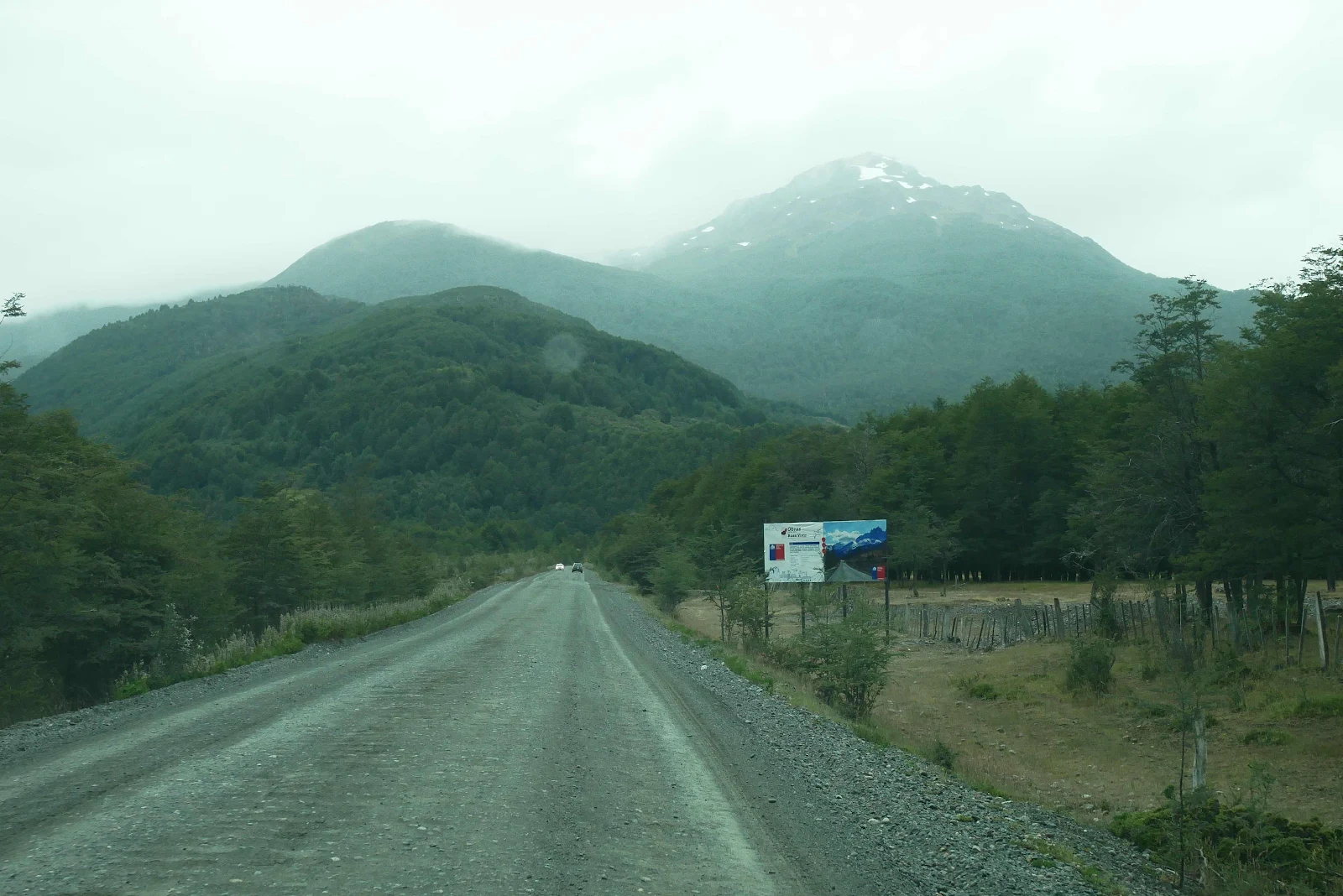
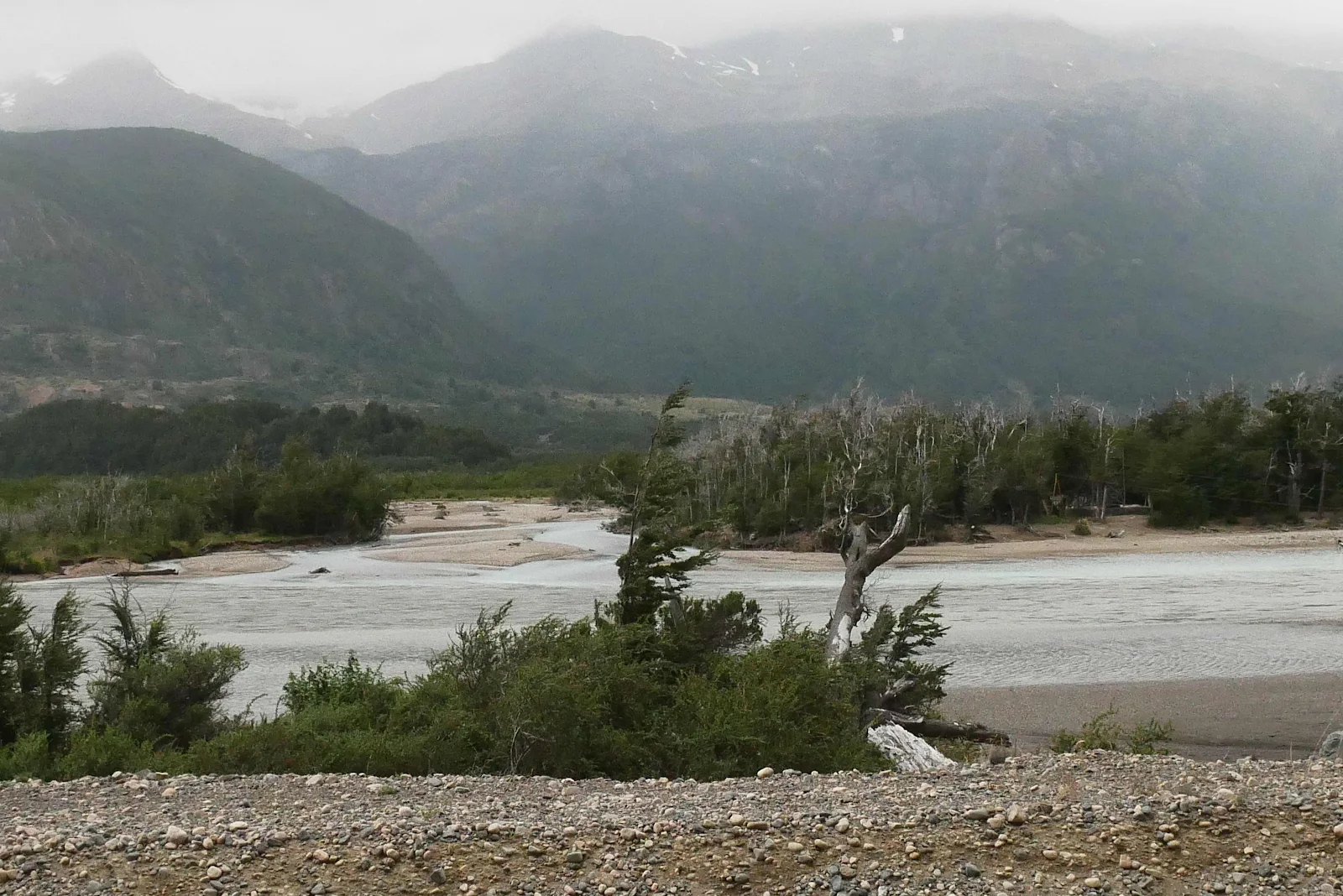
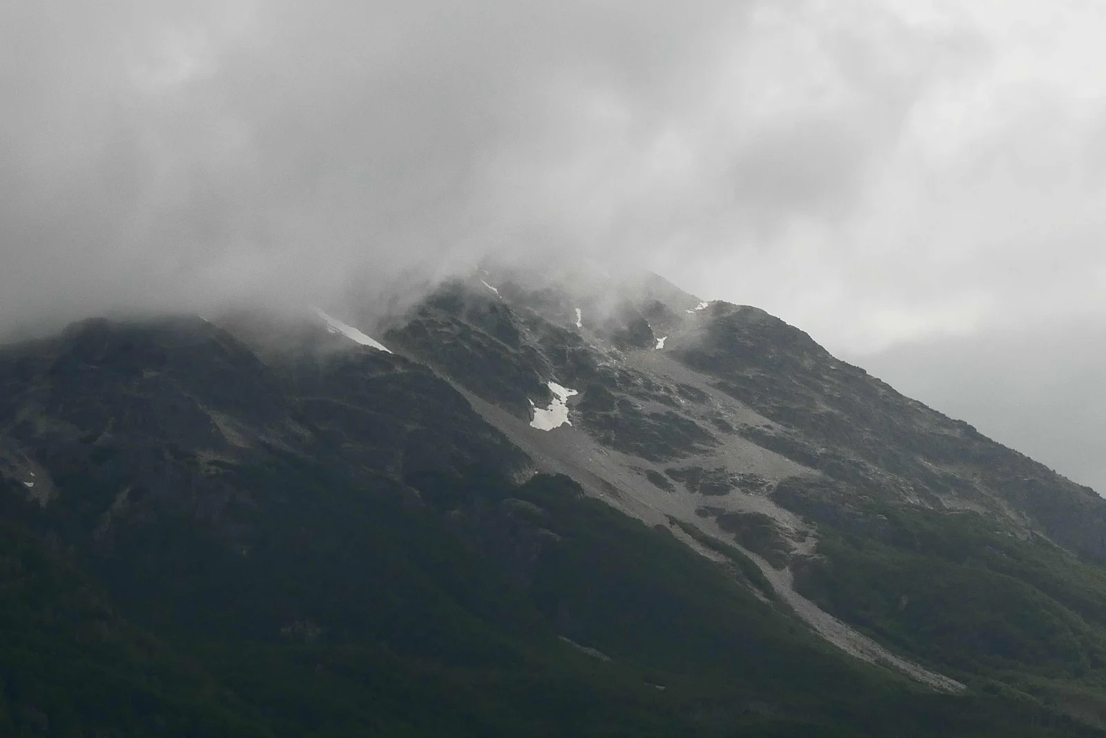
Misty mountains look beautiful but I prefer sunshine because I’m a picture postcard philistine.
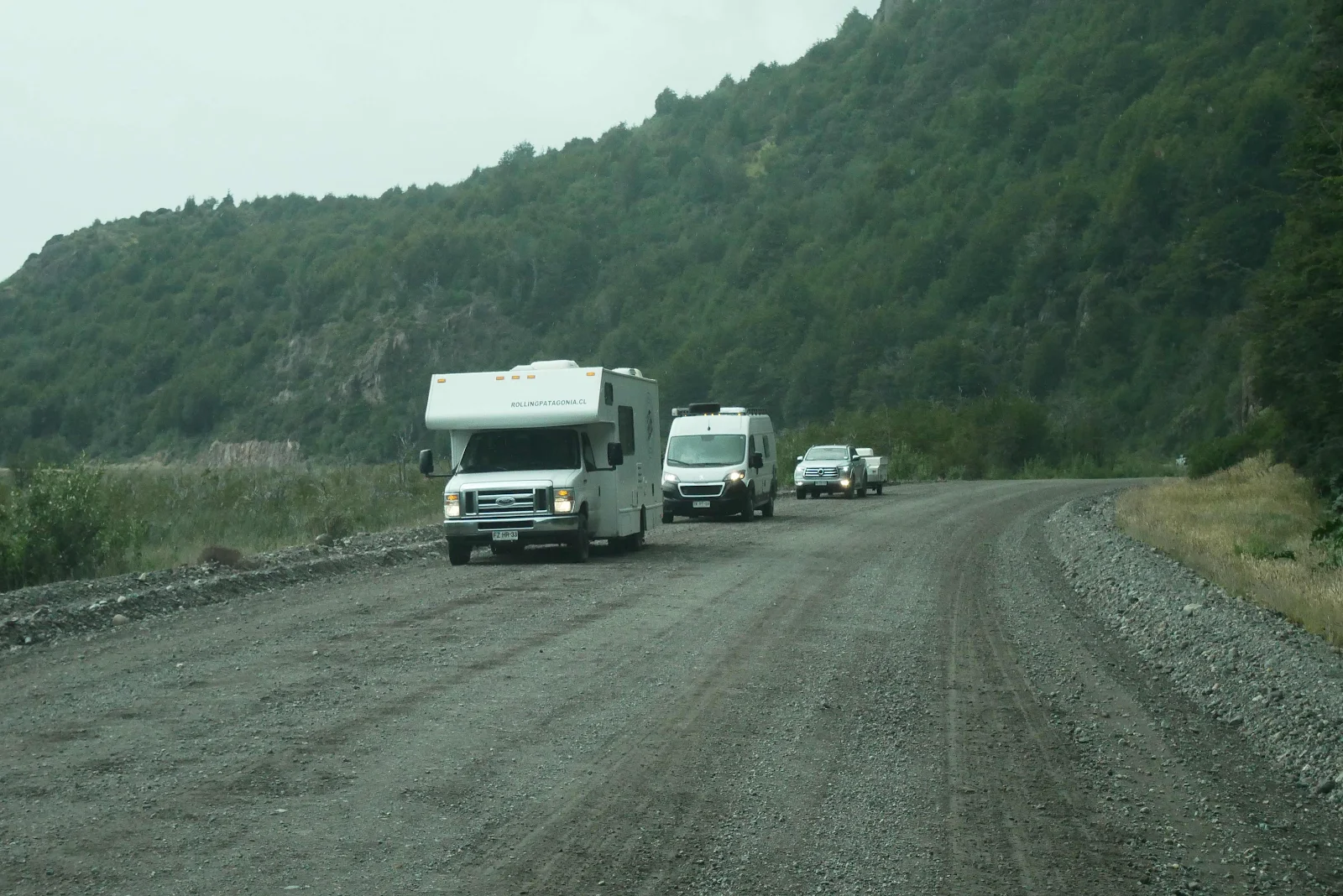
Check out these South Americans, by chance lined up representing the RV choices most roll with, an imported American RV, a van or a trailer. Lots of people use locally made roof top tents. Vehicle camping is relatively popular in Chile, Argentina and Brazil.
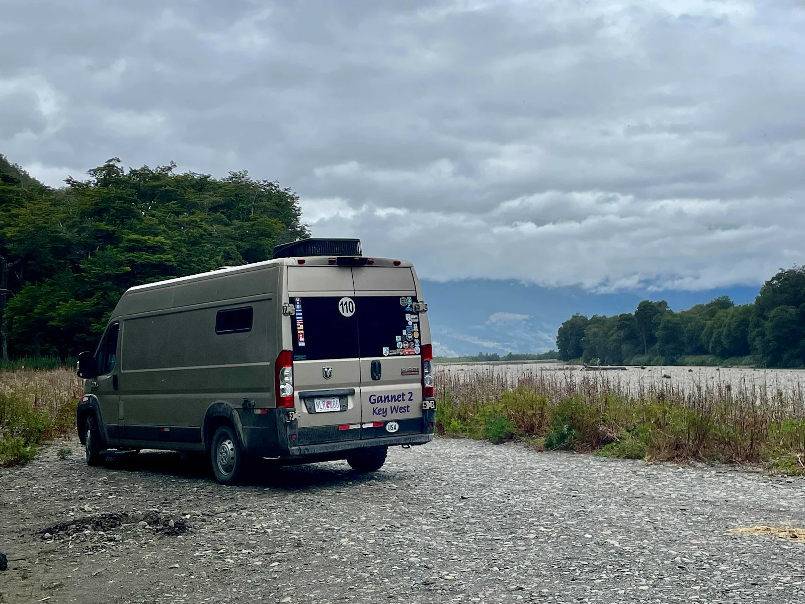
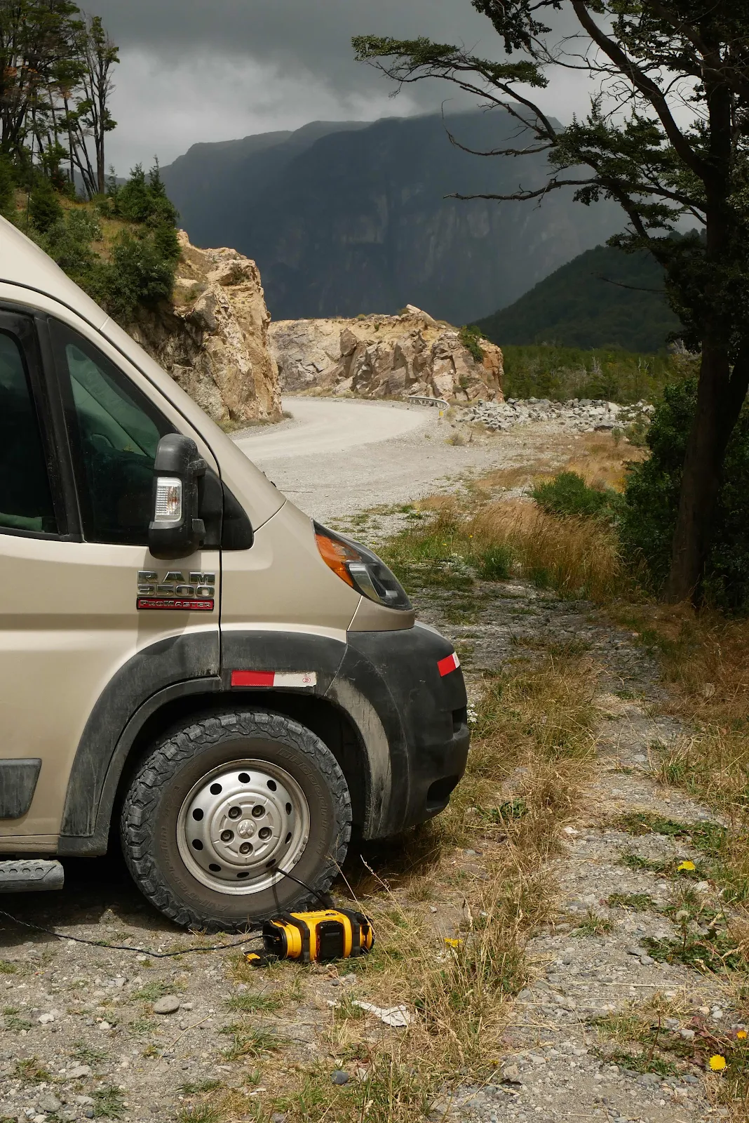
With about a mile and a half left to the start of the pavement we stopped at a convenient flat pull out. Layne made lunch, egg salad wraps, while I got our DeWalt air compressor out to deal with our tires which I had aired down in Chile Chico 200 miles ago.
The spot was pretty and dust from the highway didn’t get too close as the rain had helped keep dry dust down even though the road around here was drying fast.
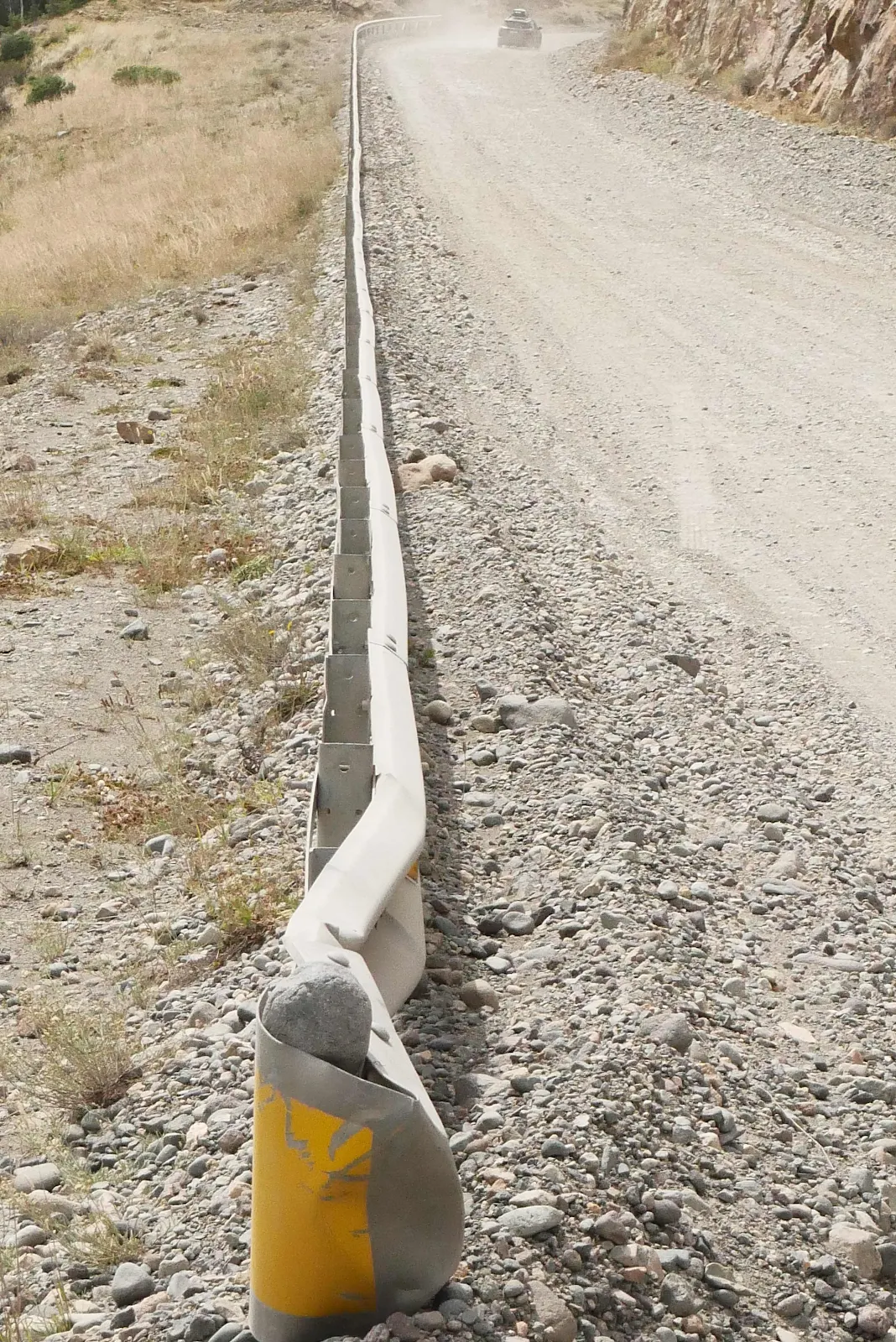
Oh yes, you remember the dust clouds of this lovely highway that I have moaned about previously.
This busy tourist highway reminds me of the Blue Ridge Parkway in summer. Everyone wants an Instagram picture of themselves on the infamous Carretera Austral.
A group of five Subaru sedans came slowly down the hill. A bunch of Brazilian tourists got out of their rental cars and got their pictures. They then drove back up the hill in the northbound direction. Five minutes later they all came back down the hill and disappeared to the south. I have no idea what that was about, especially as this hill is badly torn up with lots of loose gravel and potholes.
As we ate I ran the air compressor to get our tires back to proper pressure. I let the tires down when we face long stretches of gravel to reduce vibration and make the ride more comfortable.
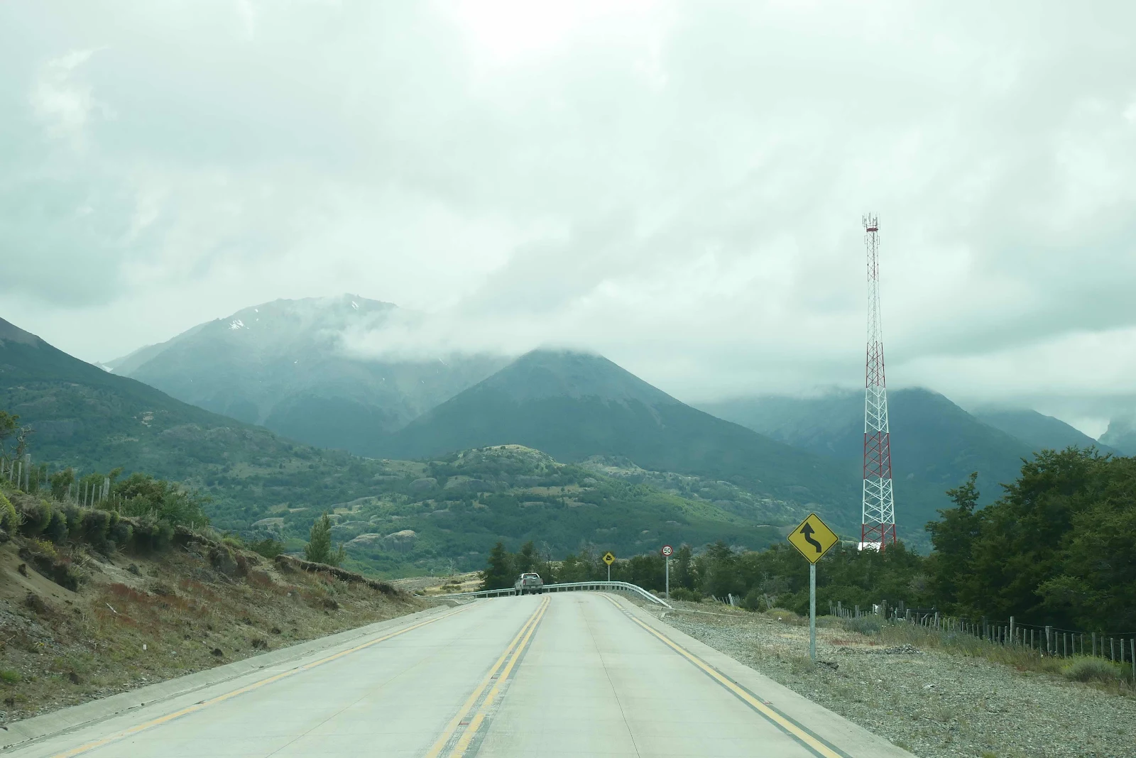
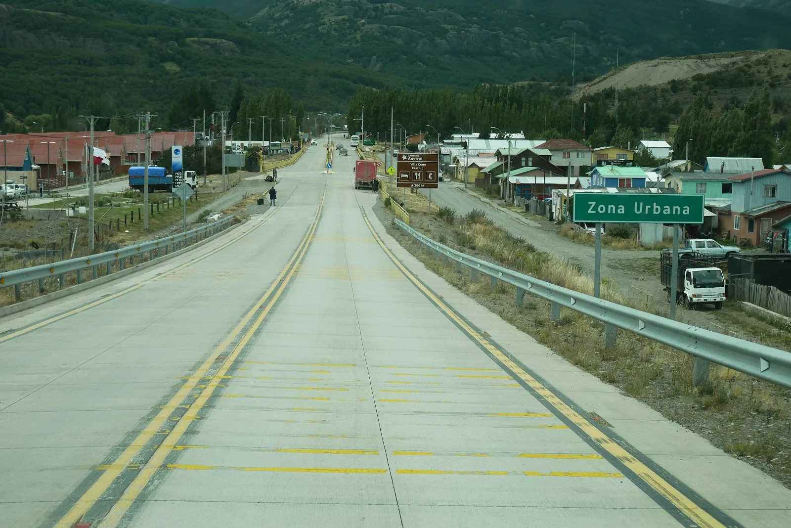
And then we reached the glorious pavement with eight miles to go to get to the little town of Villa Cerro Castillo where gasoline and potable water and a toilet dump station awaited us.
It was a strange moment coming over that hill and finding ourselves in a huge isolated valley. (And the cell tower didn’t work on our phones. Blah).
Villa Serro Castillo, no dominant church on a plaza, no Spanish colonial architecture.
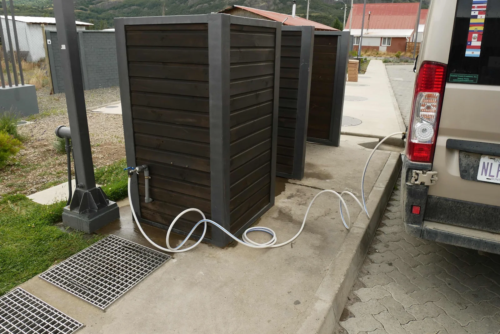
And there is a very new and modern gas station with gas diesel kerosene and a potable water faucet and of all things an actual free dump station for RV travelers. I was amazed frankly, but I love Chile.
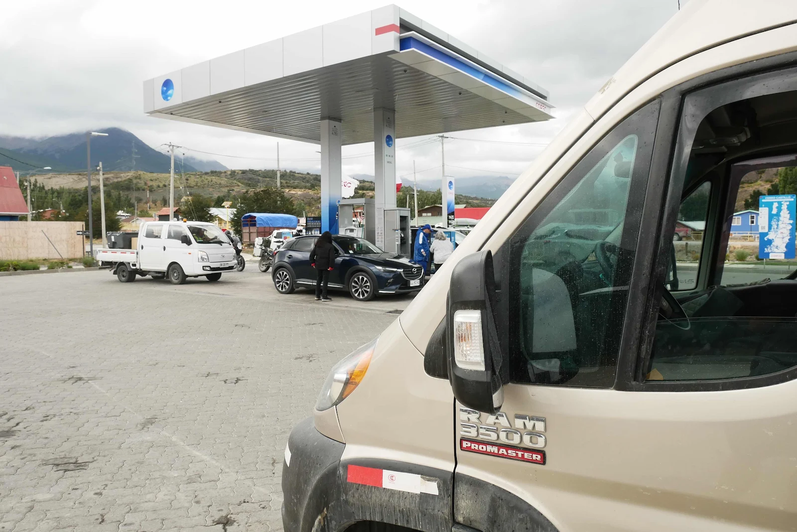
The grating is the dump station and it was very clean. The faucet had a strong jet of water had we loaded twenty gallons pretty rapidly.
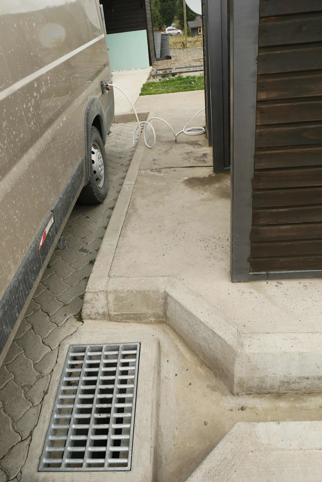
This corner is labeled as the RV service area and it’s not a huge gas station.
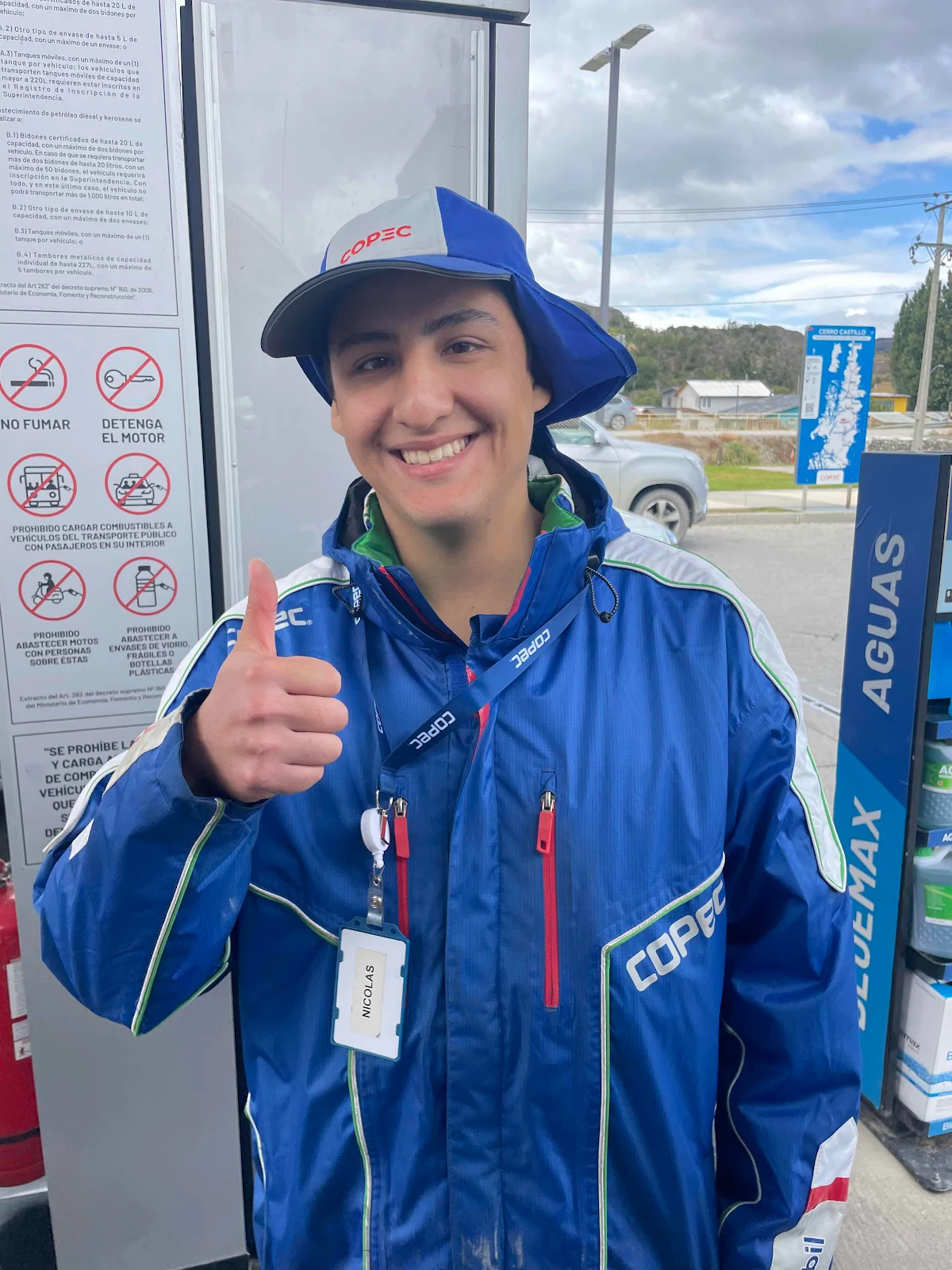
This guy was practicing his English learned at school and on YouTube. He’s watching van life videos to figure out his own nomad lifestyle. He said he hates the heat and absolutely loves the cold; typical Patagonian weirdness.
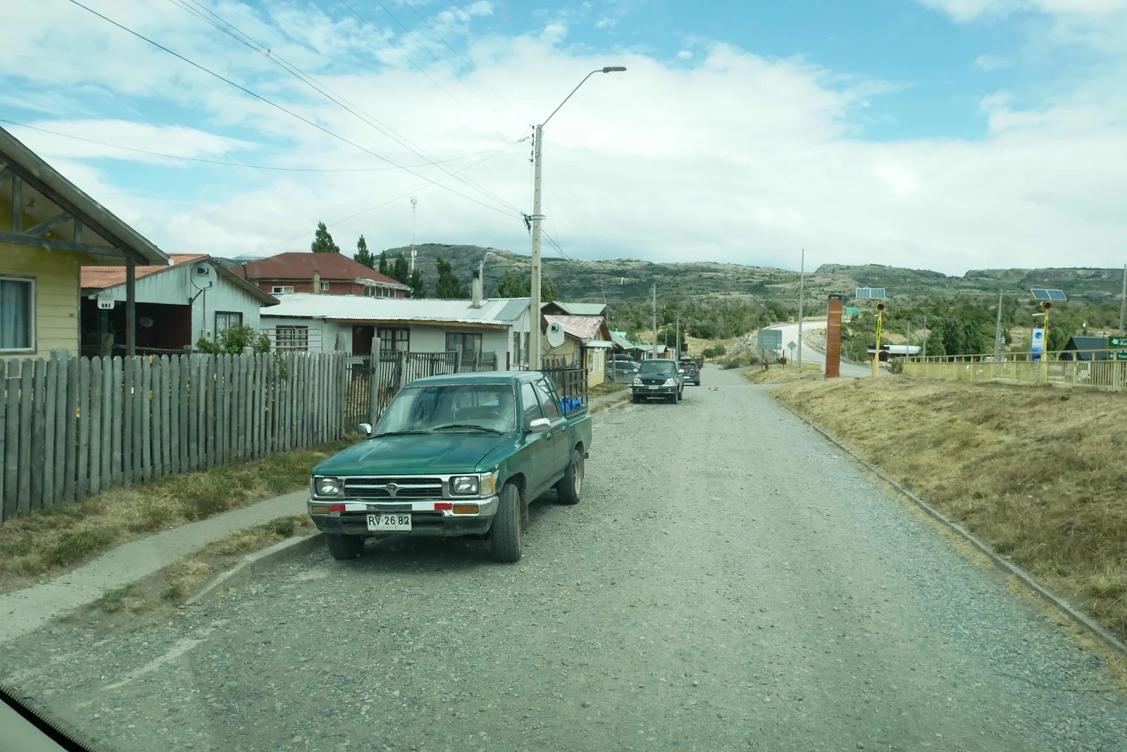
We went looking for a fruit store and that took us on the frontage road, ironically not paved.
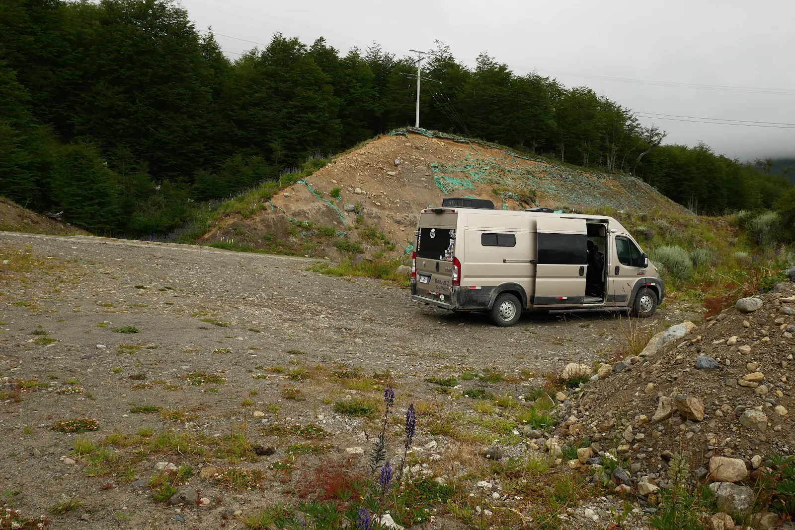
The markets had nothing we needed so we drove out of town and stopped at an iOverlander spot for the night overlooking the valley.

Cold and damp outside, snug and dry inside. Soup and salad for dinner and then shoving Rusty aside to get some room in bed.
Tomorrow Coyhaique I hope, with proper supermarkets, a car wash and a campground with hot showers, just 40 paved miles away. Civilization: that would be nice.
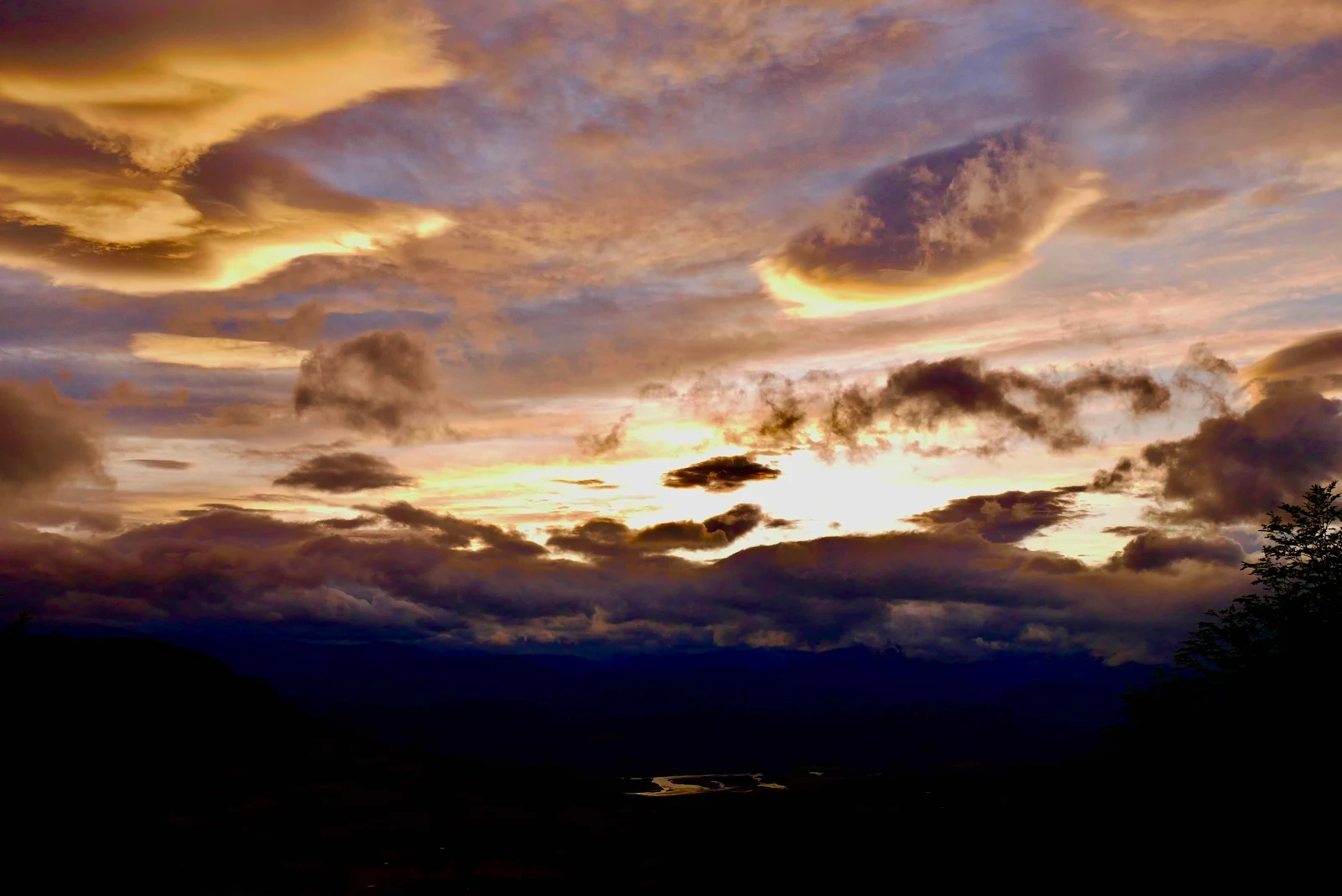
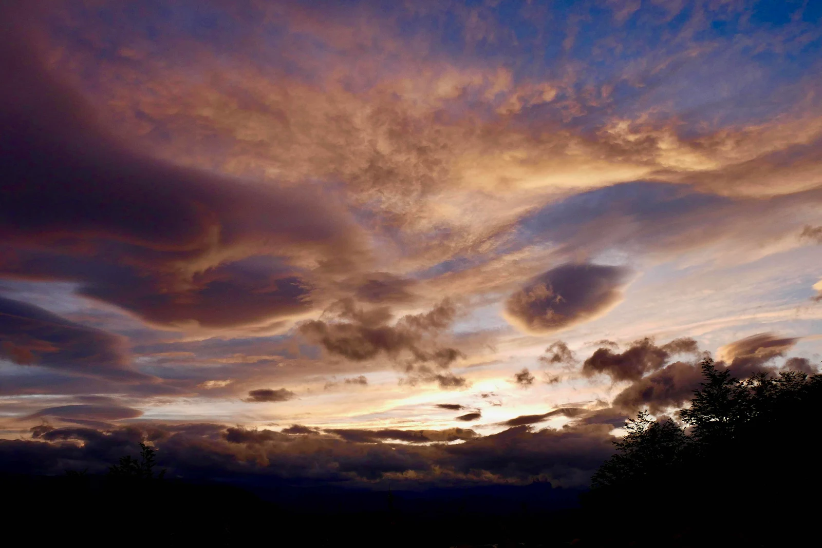
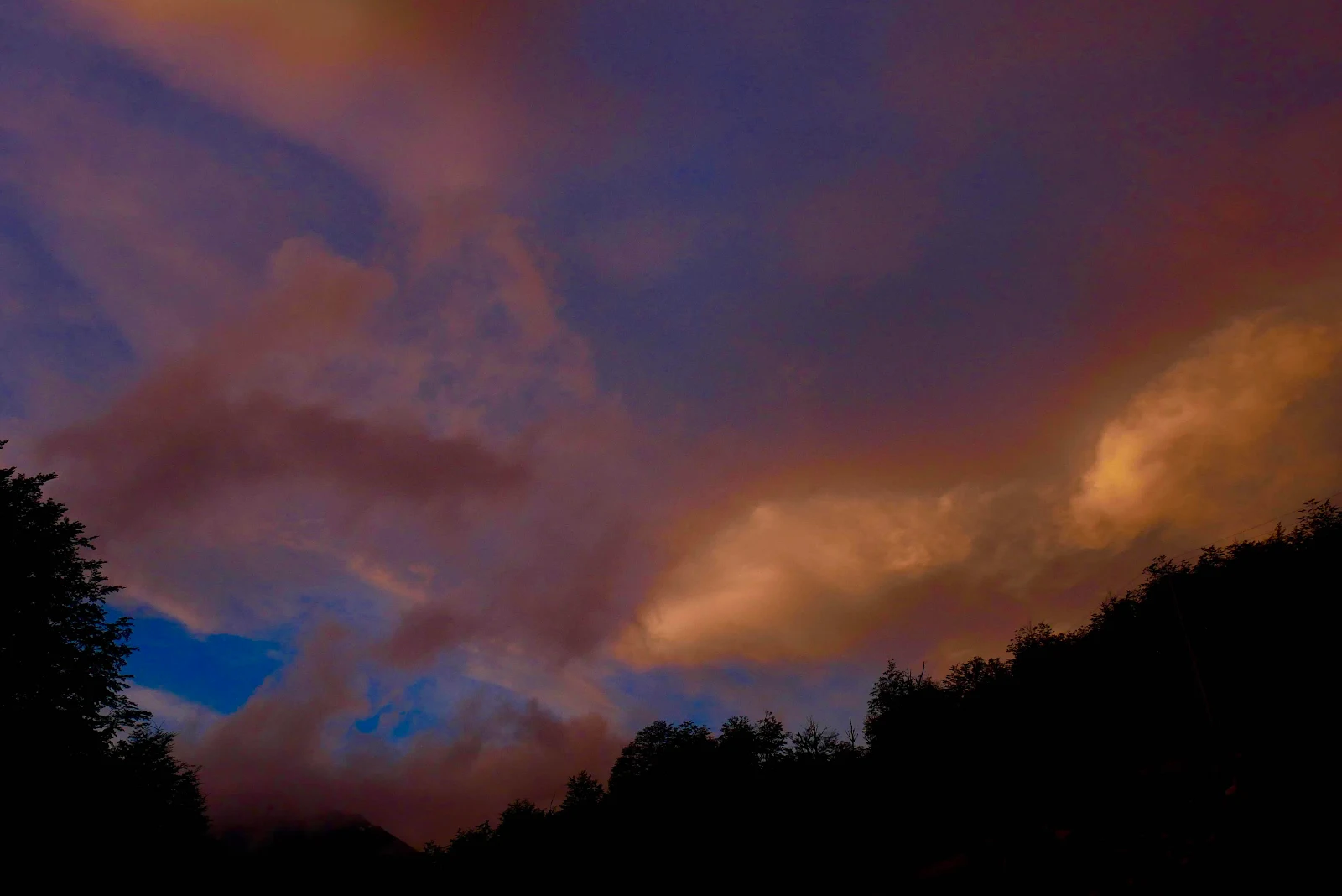
Sunset. I went out while it was still light and adjusted the tire pressures as the rubber had cooled off and the pressure readings would be more accurate. It was freezing cold and I did not enjoy standing around watching the compressor add a few pounds to each tire.
Back aboard GANNET2 I complained to Layne the weather watcher. “It’s 41 degrees,” she said brightly as though it should be obvious even to me that this was cold. “Summer,” I grumbled. “How can this be summer?” To that question there was no answer except…Patagonia.