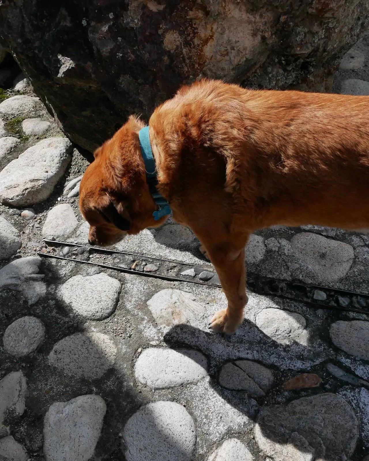
Layne has been south of the equator more than once but for me this was a first. Rusty looked around and wondered what the fuss was about.
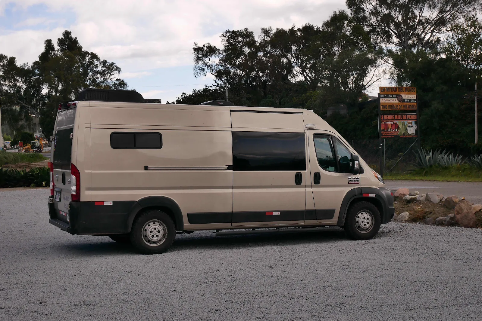
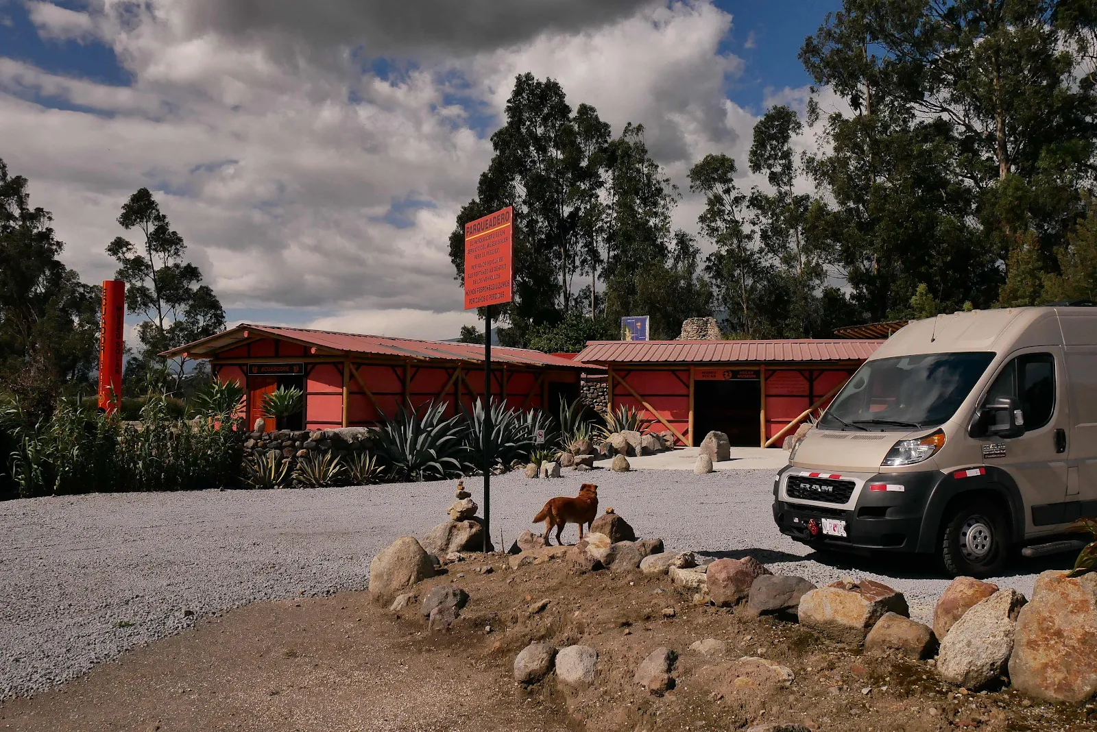
It took a bit of driving to get here from Finca Sommerwind but GANNET2 did the job without complaint. And then just sat there no doubt pondering the remaining 5,272 miles (in a straight line) to the southernmost point of the continent at Ushuaia.
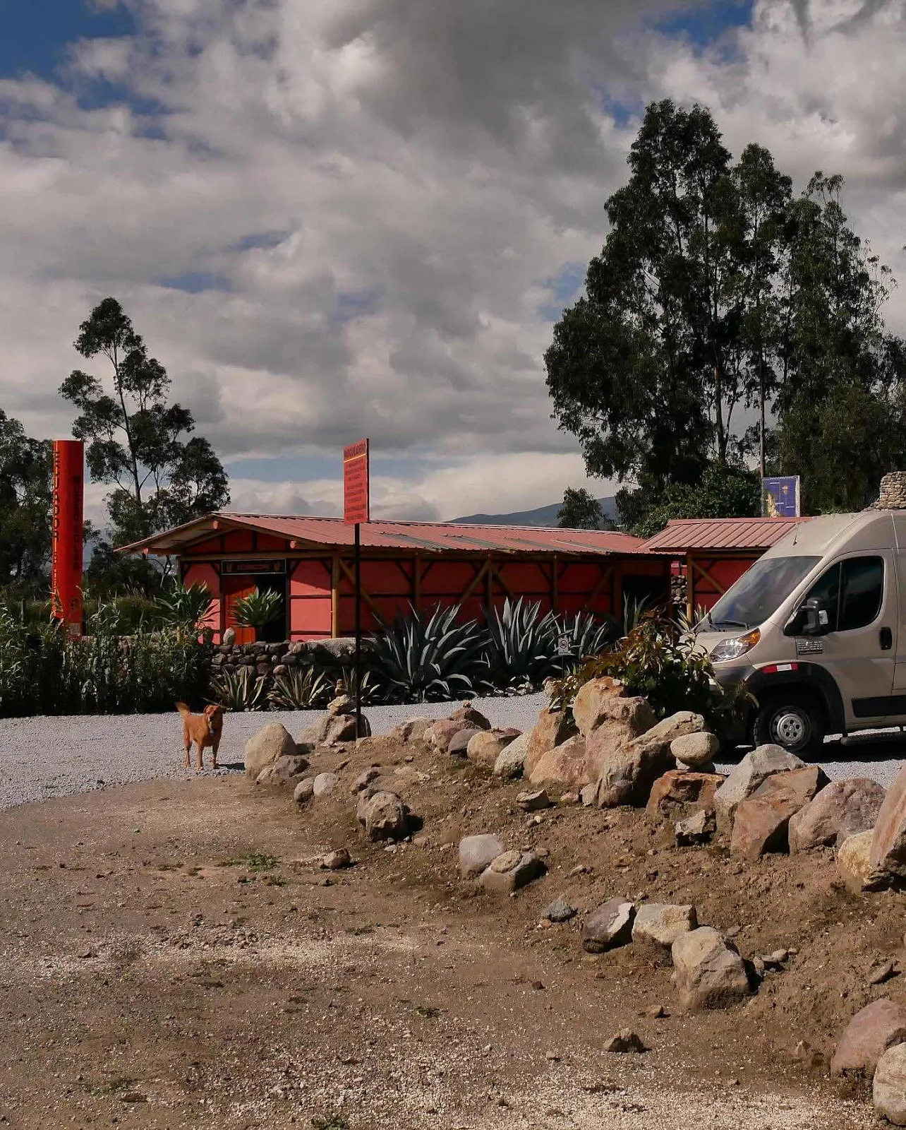
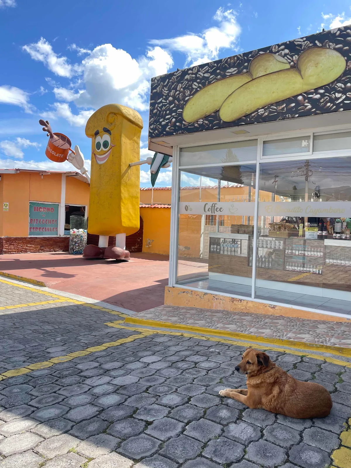
We drive through the town of Cayambe to get to the line and our last purchase in the northern hemisphere was rubbish.
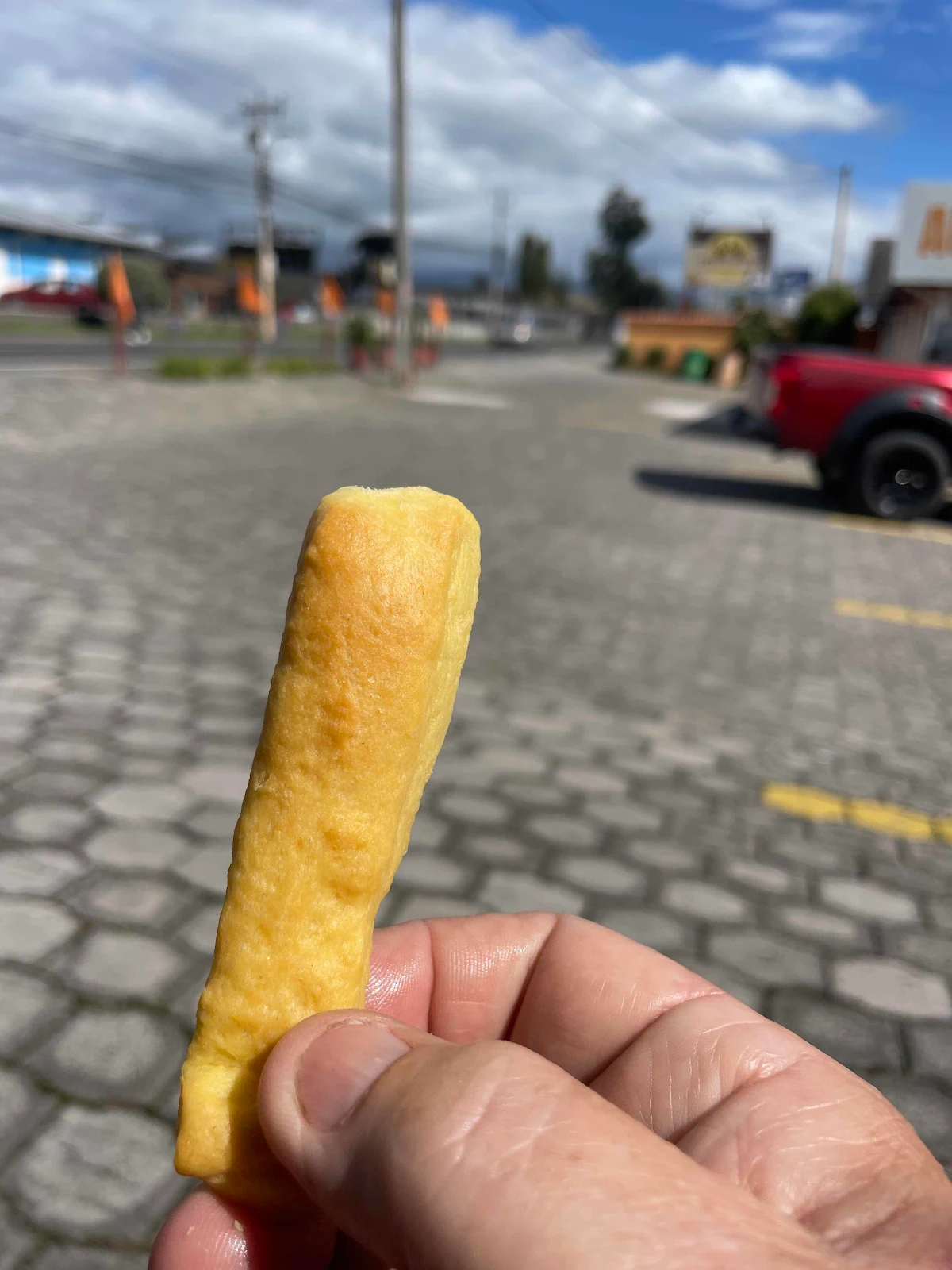
It’s called a bizcocho (“bees-co-cho”) and in some countries it’s a sponge cake. Unluckily for my sweet tooth in Ecuador it’s a wafer kind of think that tastes of flour.
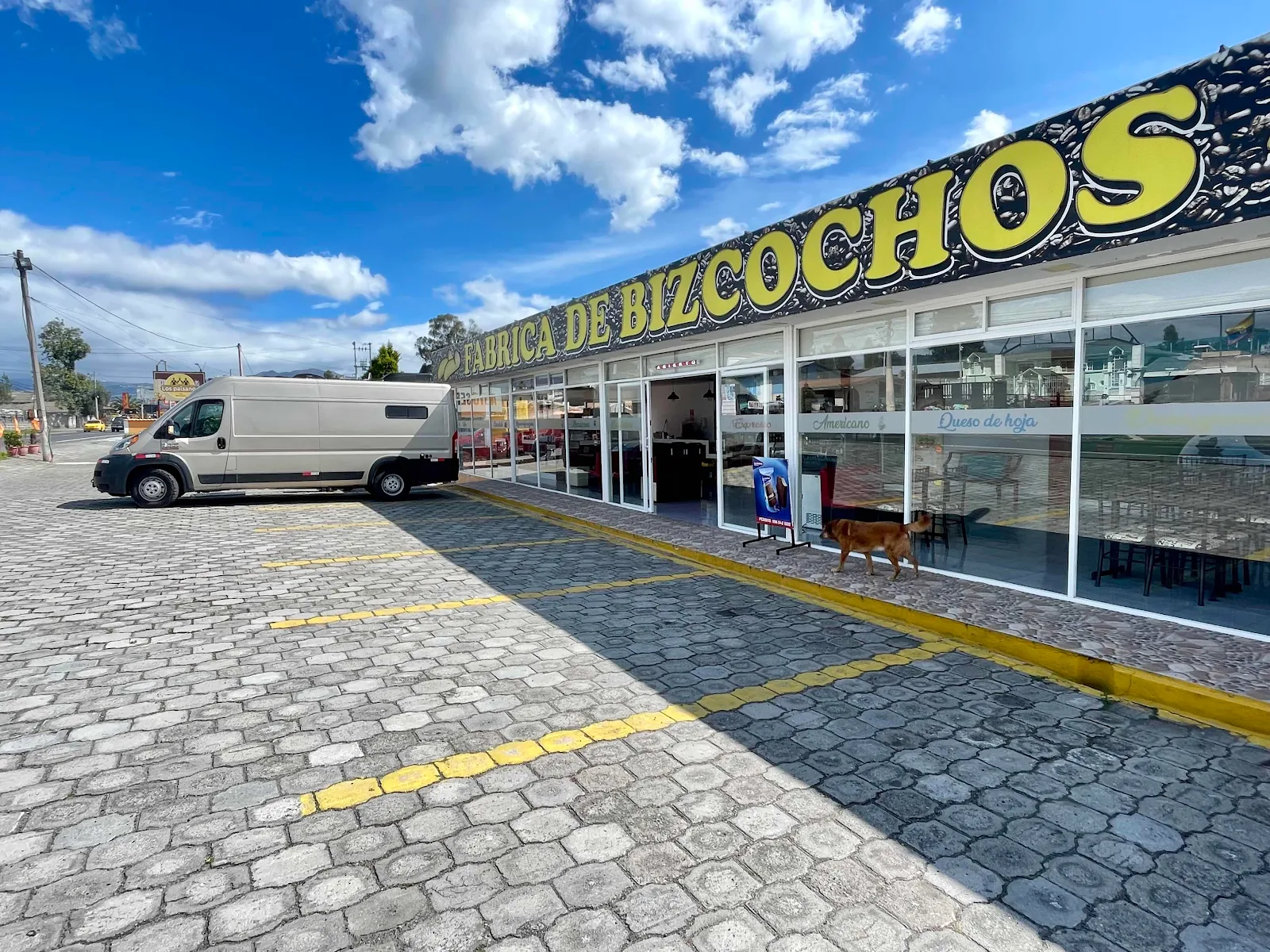
It’s a big deal in Cayambe but unless you add something to it the flaky little thing tastes of nothing. Weird.
It looks like it should be delicious.
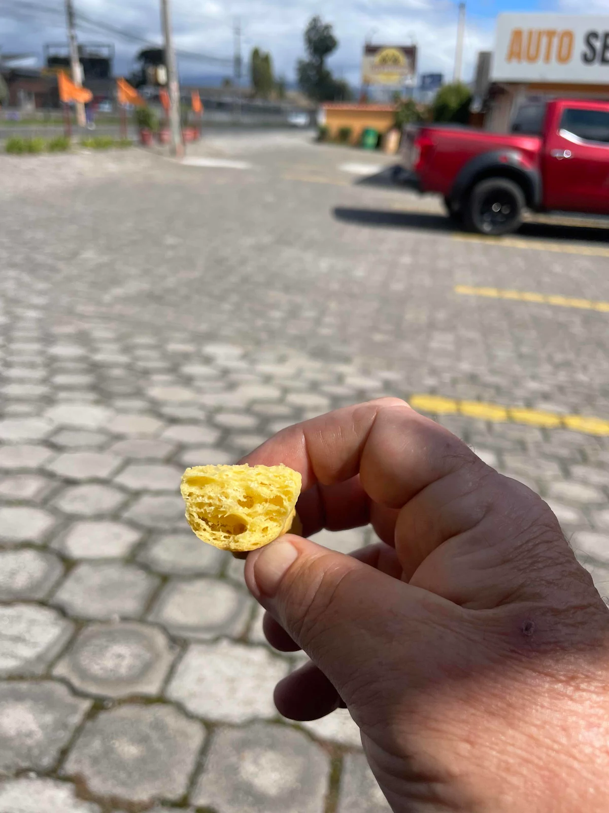
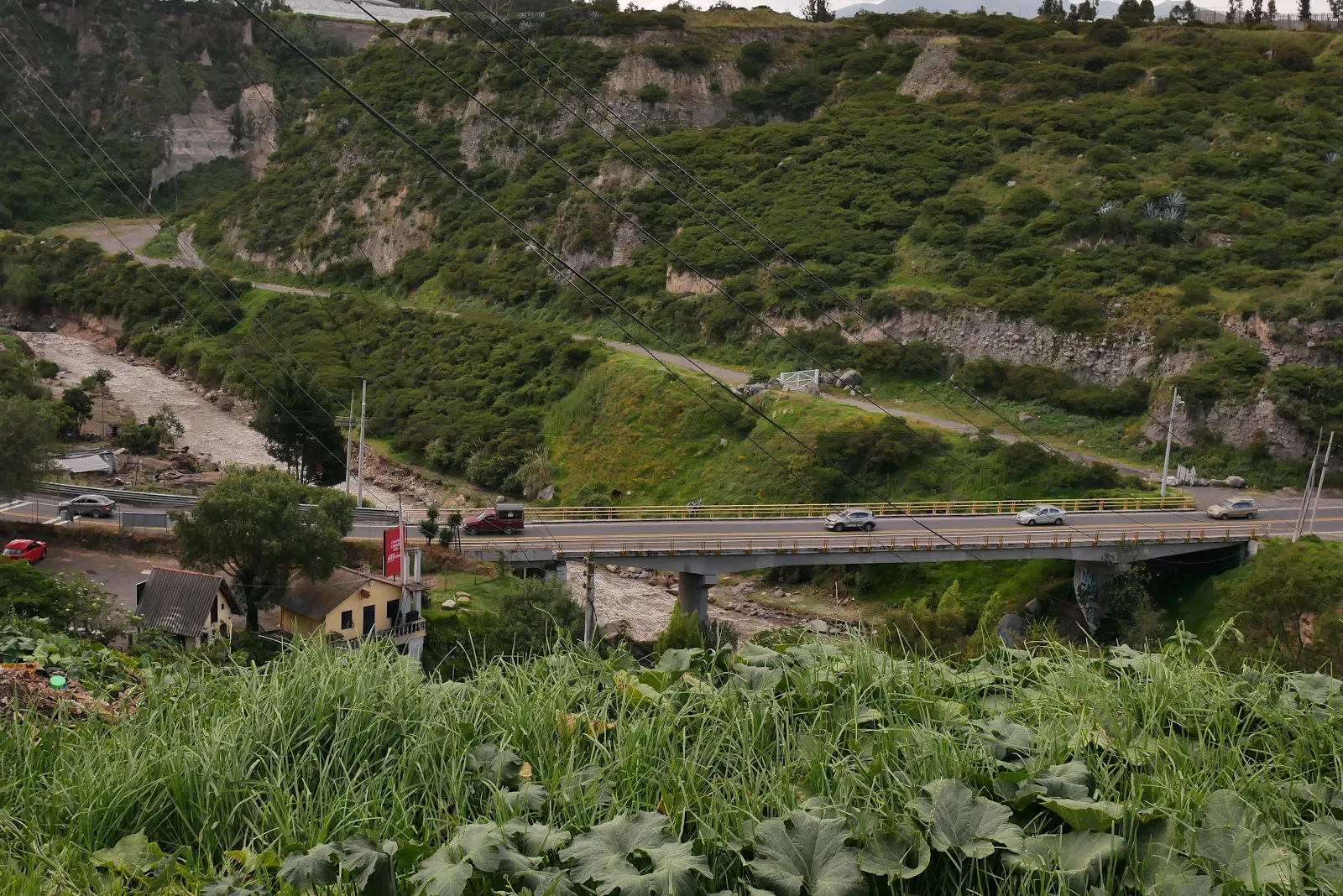
Anyway we tasted the local delicacy and pressed on. It’s lovely countryside up here, a rolling open valley with mountains on either side. And a river runs through it.
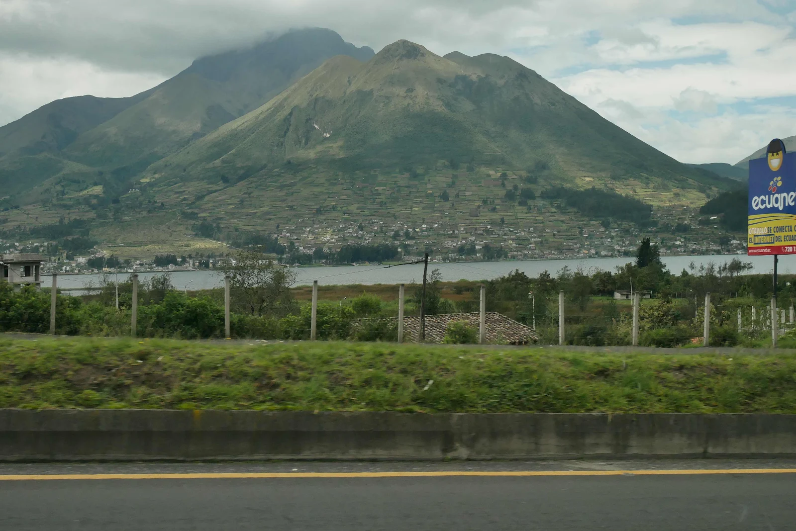
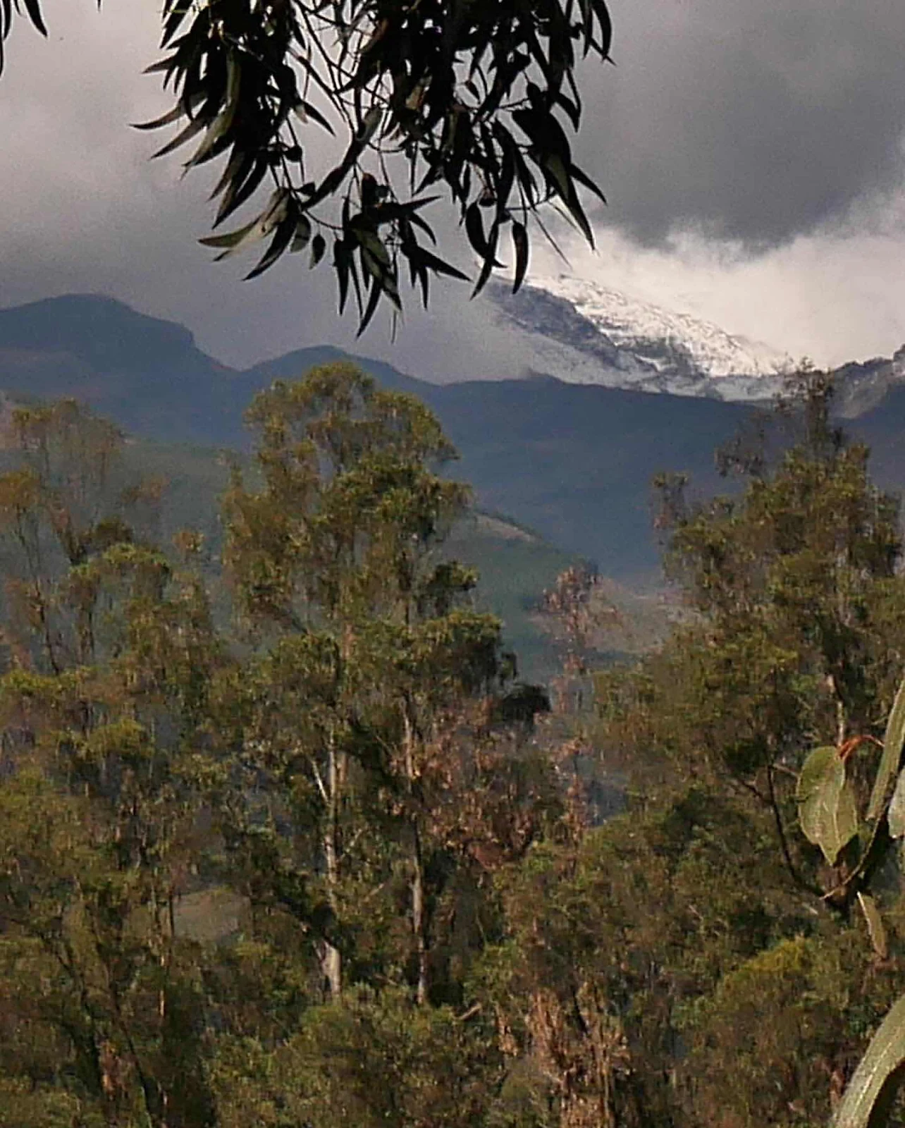
Cayambe Volcano is the third highest peak in Ecuador the land of tall volcanoes, and we shall be checking out Cotopaxi and the big daddy Chimborazo from a distance in the days to come. If you want to win a bar bet Chimborazo is taller than Everest as it sits near the equator where the earth is thickest and thus its peak is further from the center of the earth. You can thank me after you win your bets. Cayambe Volcano still has snow in it as we shall see in a minute.
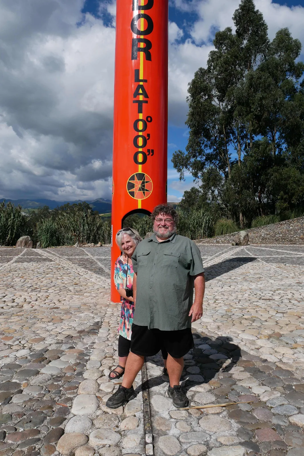
I got myself a screen shot of my altitude app on my iPhone. For myself I felt no different in the southern hemisphere. I felt different in my head finally crossing that line after a lifetime of trying.

We were surprised we were alone at this location but it was a weekday and more weird than that there are lots of equator locations. And not all of them are actually on the line. Before the advent of GPS it wasn’t easy to figure where the damned line went and nowadays anyone can tell where the equator is by looking at their phone.
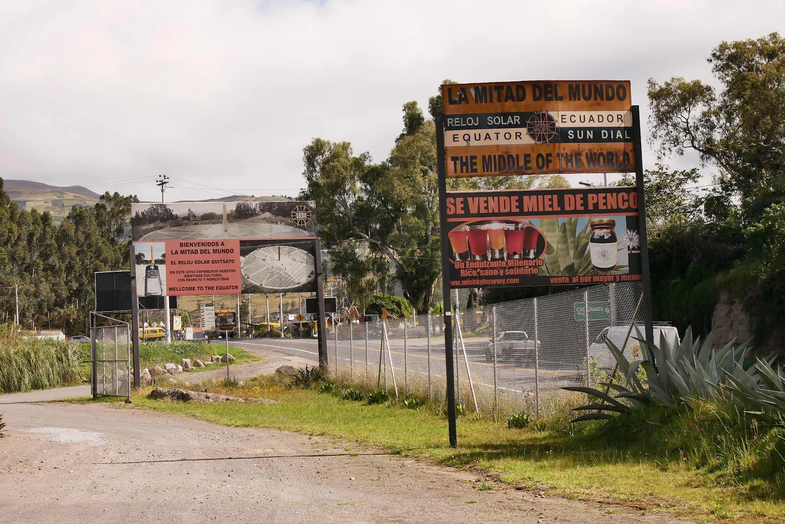
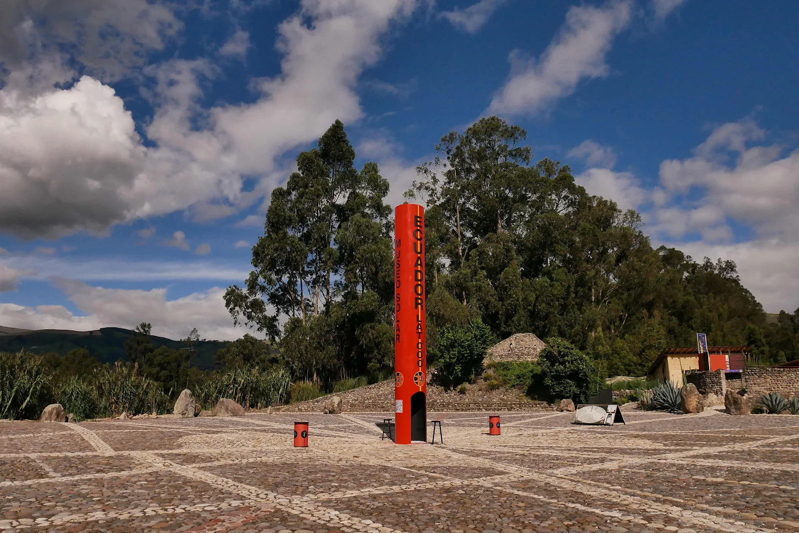
This place is actually on the equator partly because it’s a late comer she it was easier to establish degrees of latitude and longitude. The museum is full of information on that subject.
The way early scientists figured locations was by creating overlapping lines from known points. Apparently Ecuador was the ideal location to establish the whereabouts of the equation because of the mountain tops where sights of position could be triangulated. The equator passes through the Amazon basin where the horizon is invisible in the jungle.
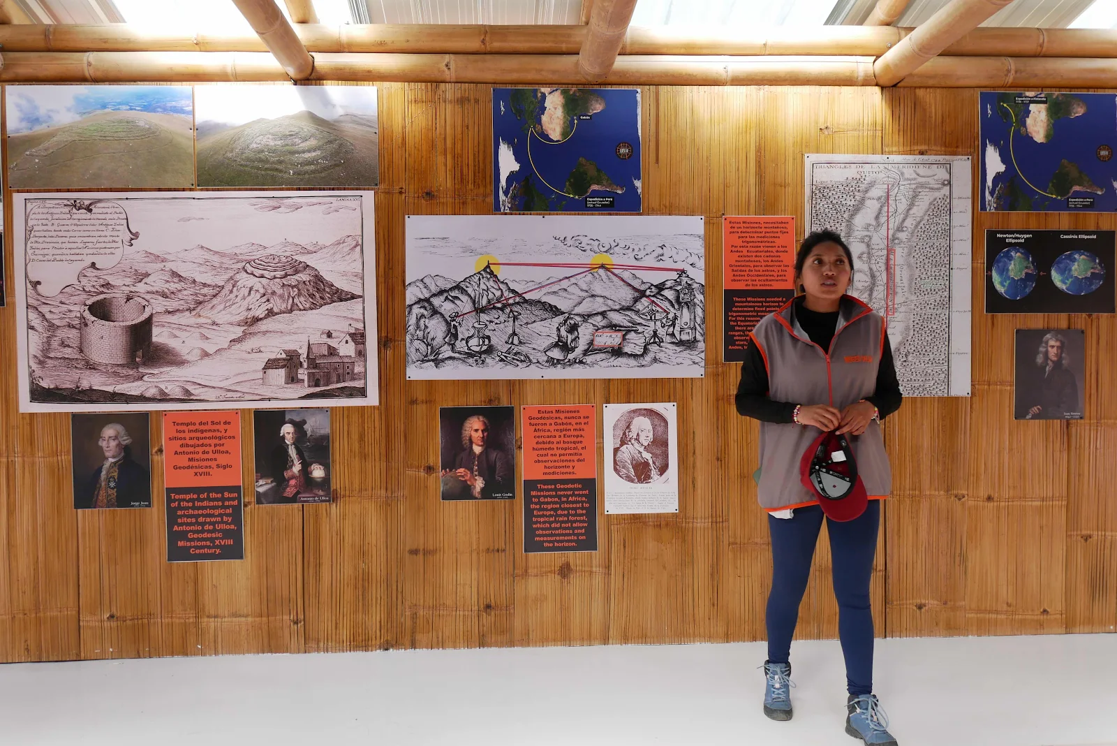
Angels our guide explained the relationship between the lines of the tropics in either side of the equator and how the sun moves between them in what we call the tropical zone.

And there it is. You know what’s odd is that the rest of the world just keeps on going as your retired self is staring at zero degrees with his jaw dangling. Our guide admitted she lived half an hour away, in the northern hemisphere. And no she doesn’t care one jot about the equator.
The white lines in the cobbles represent the position of the arc of the sun at different times of the year. But for me the equator was what I wanted to ponder.
Webb Chiles figures he’s crossed the equator thirteen times and he is a fan of the southern hemisphere, pointing out 90 percent of humans live in the northern hemisphere where there is 68% of the land mass. I’m in the good half now with less people and more mountains. That’s pretty nerve wracking. These mountains are huge.
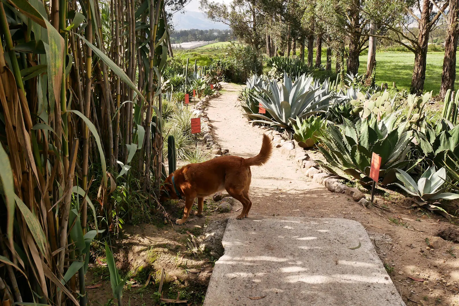
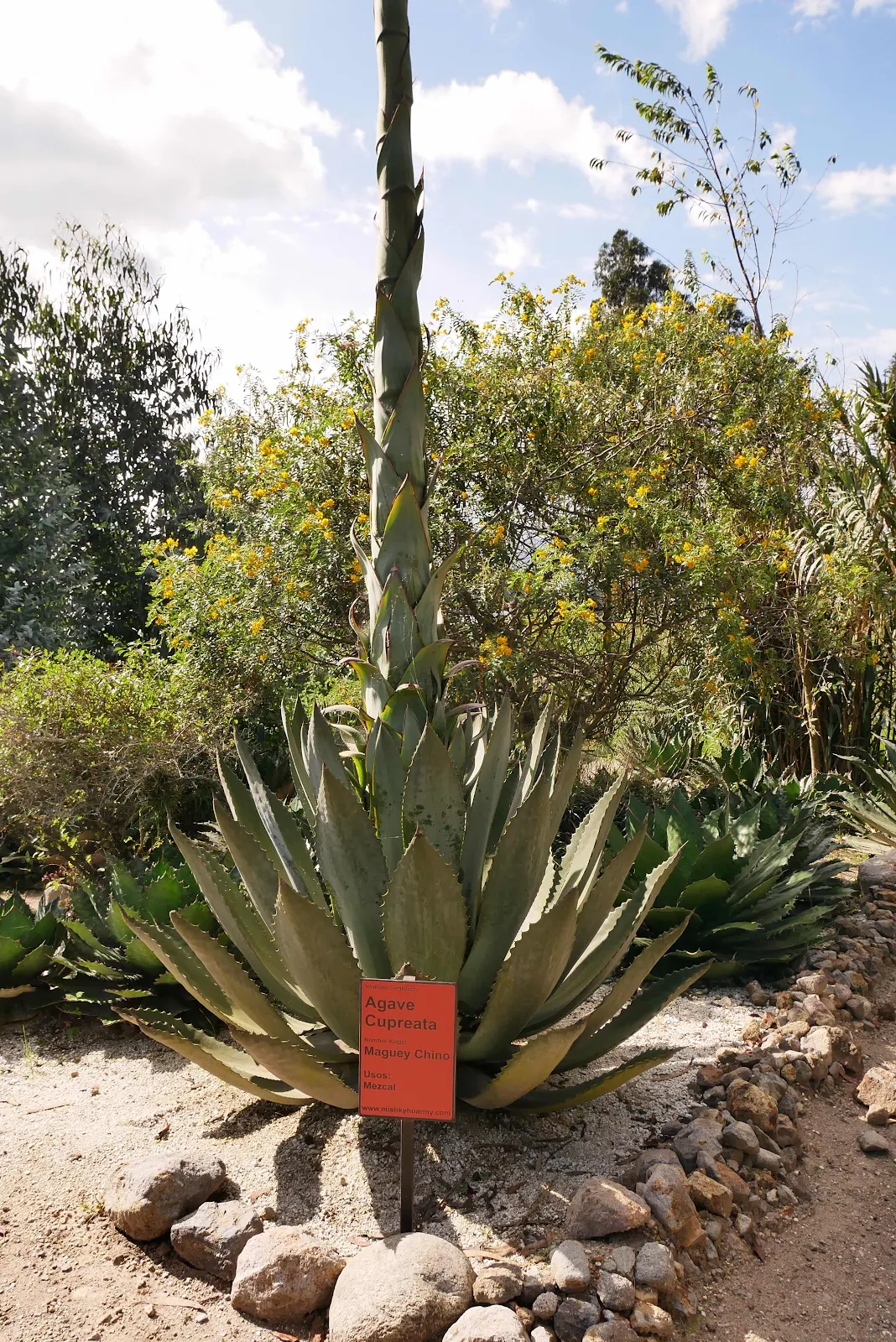
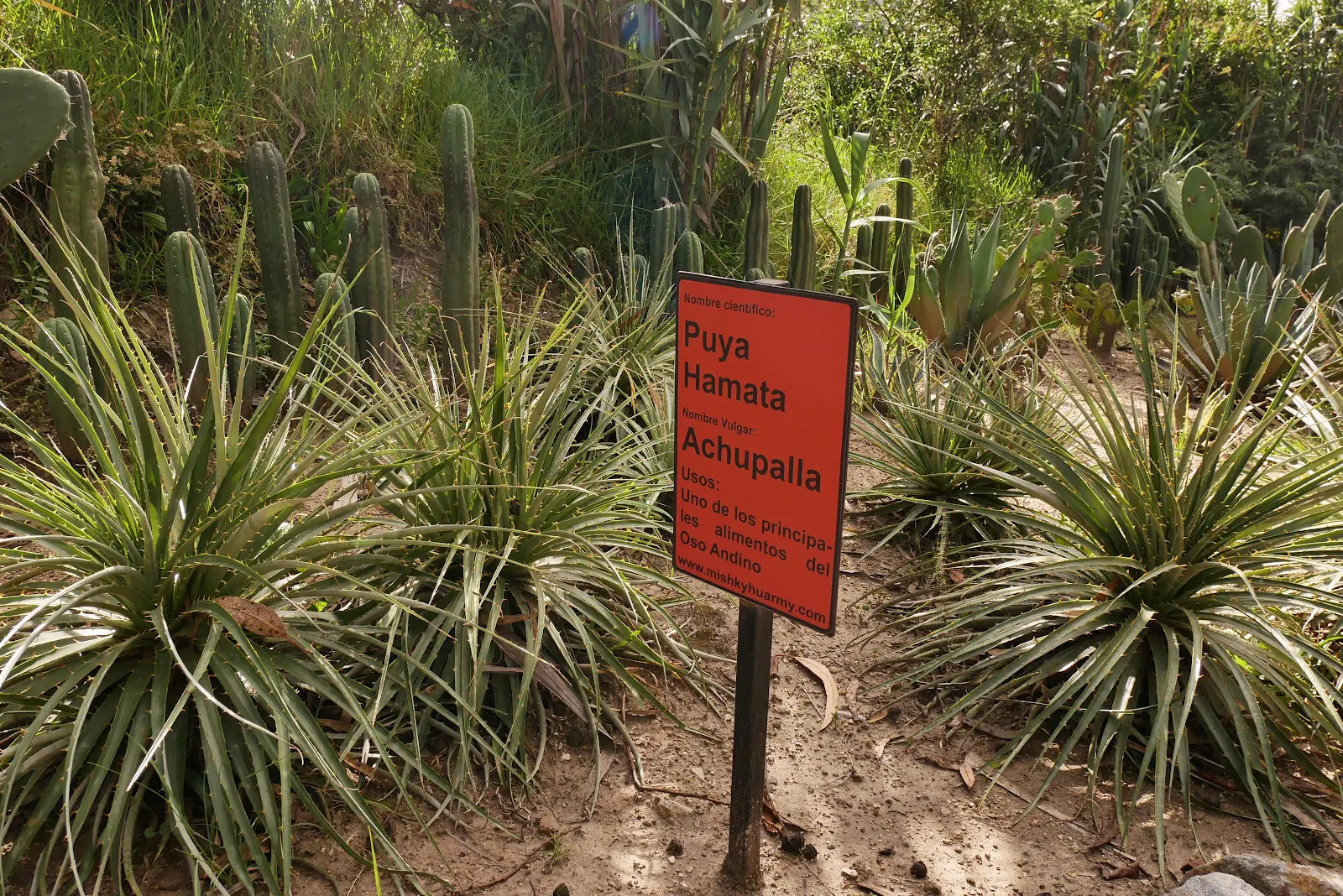
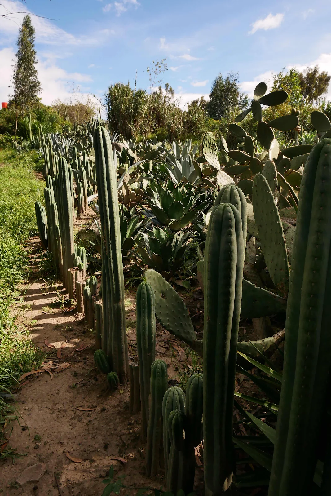
Rusty remained indifferent to his situation do we walked into the northern hemisphere and wandered the cactus garden.
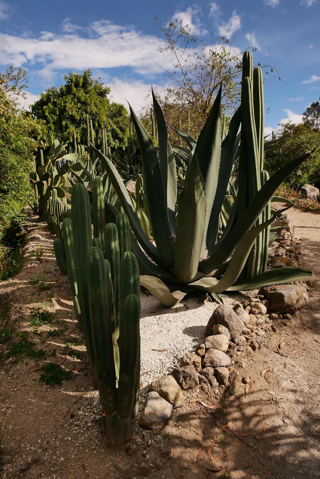
Remember how we missed seeing the Andean bears? Well these cacti are their favorite food so at least we nailed that.
We spent an extra day at the Sommerwind campground waiting out the heavy rain and it was worth it to walk in the sun at 9,000 feet.
Check out the snow in the distance and that’s the upper slopes of the Cayambe Volcano at the point where the equator crosses the volcano. Snow in the tropics, just like the mountains in Hawaii.
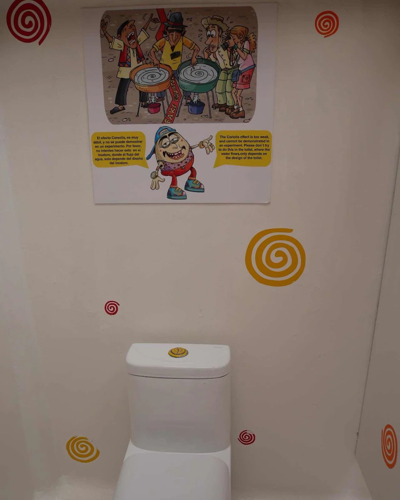
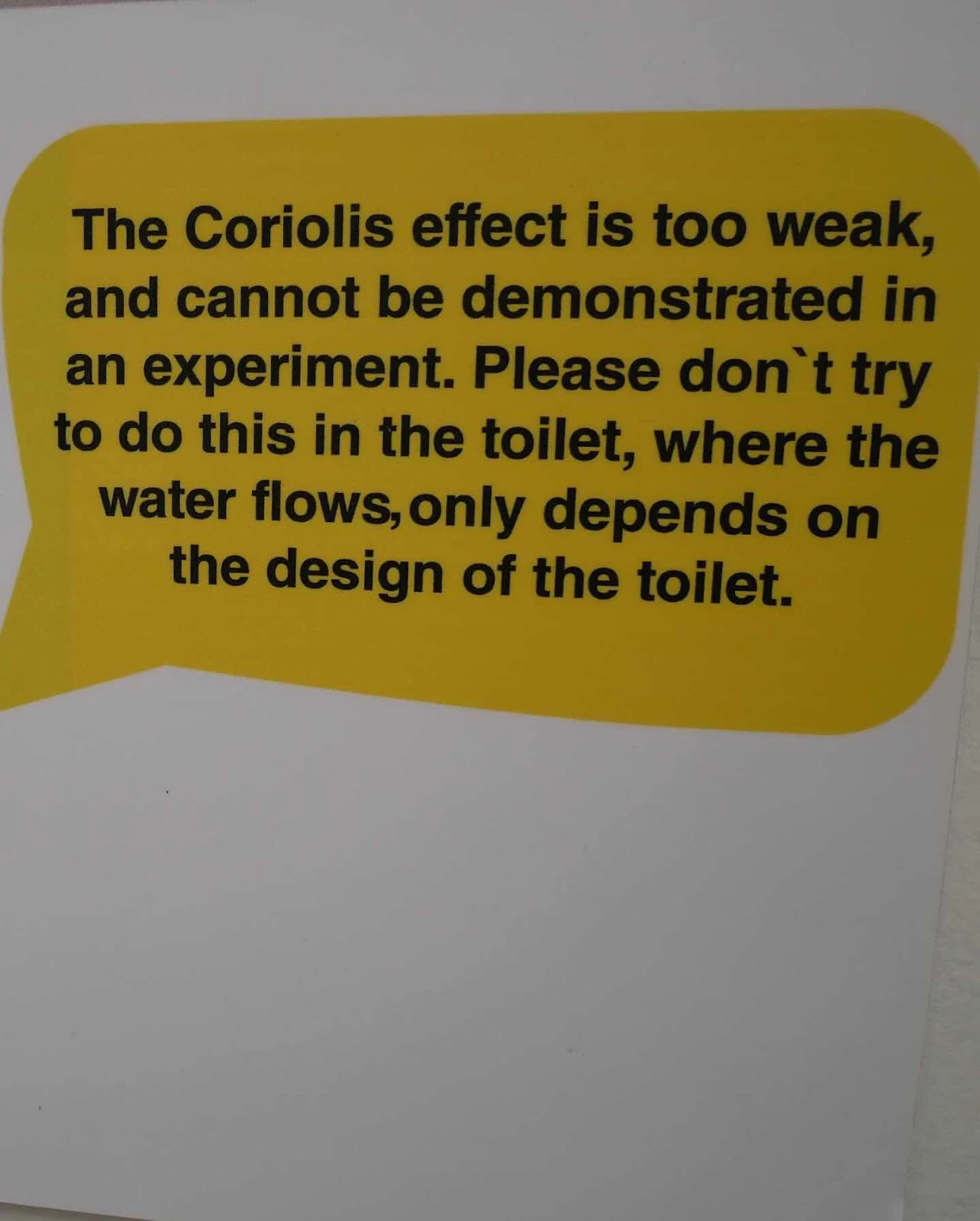
I was asked to see how water goes down the drain in the south. Obviously they’ve heard that story before at the museum.
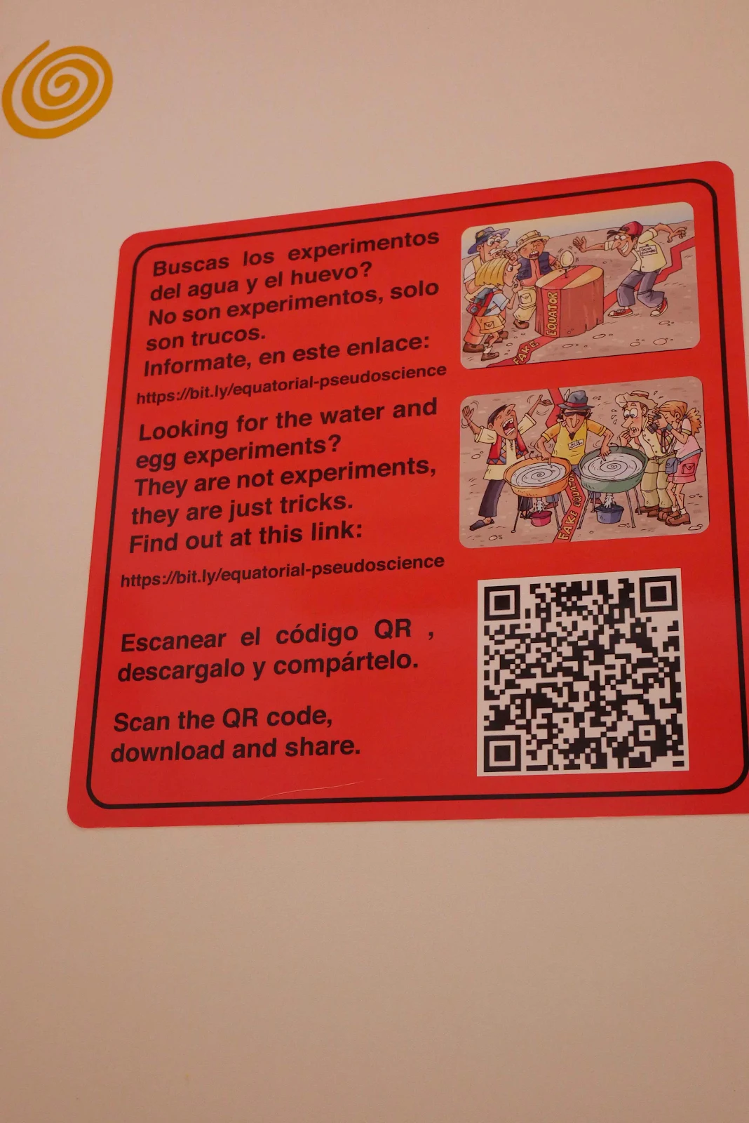
And it seems some visitors have messed with the plumbing to check the water drain theory. That hasn’t gone down well:
Got it? Good. Now look at this map on the floor of the museum. Our guide explained the map of the world you know is the wrong way round. The world actually rotates west to east around the equator so our world looks like this:
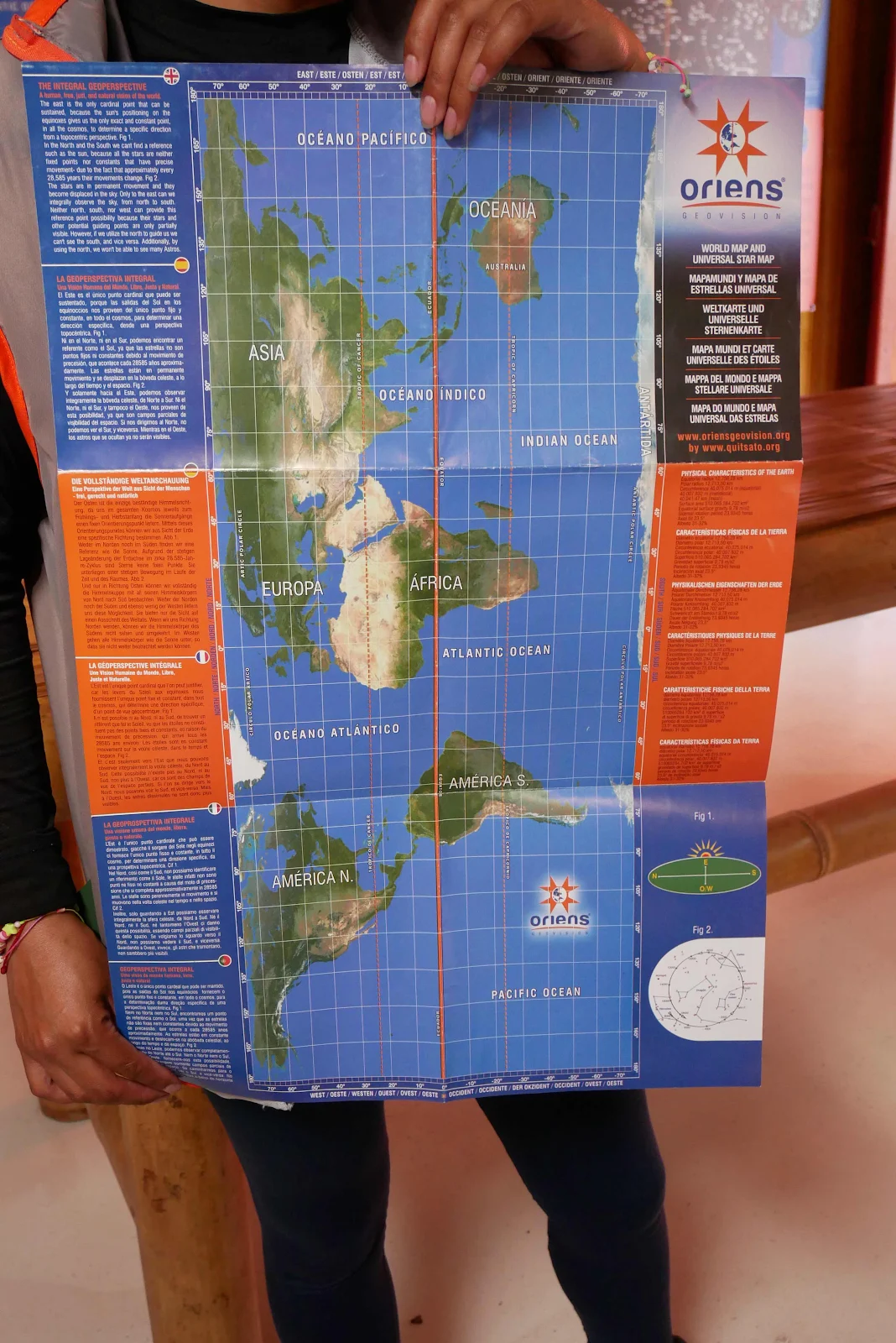
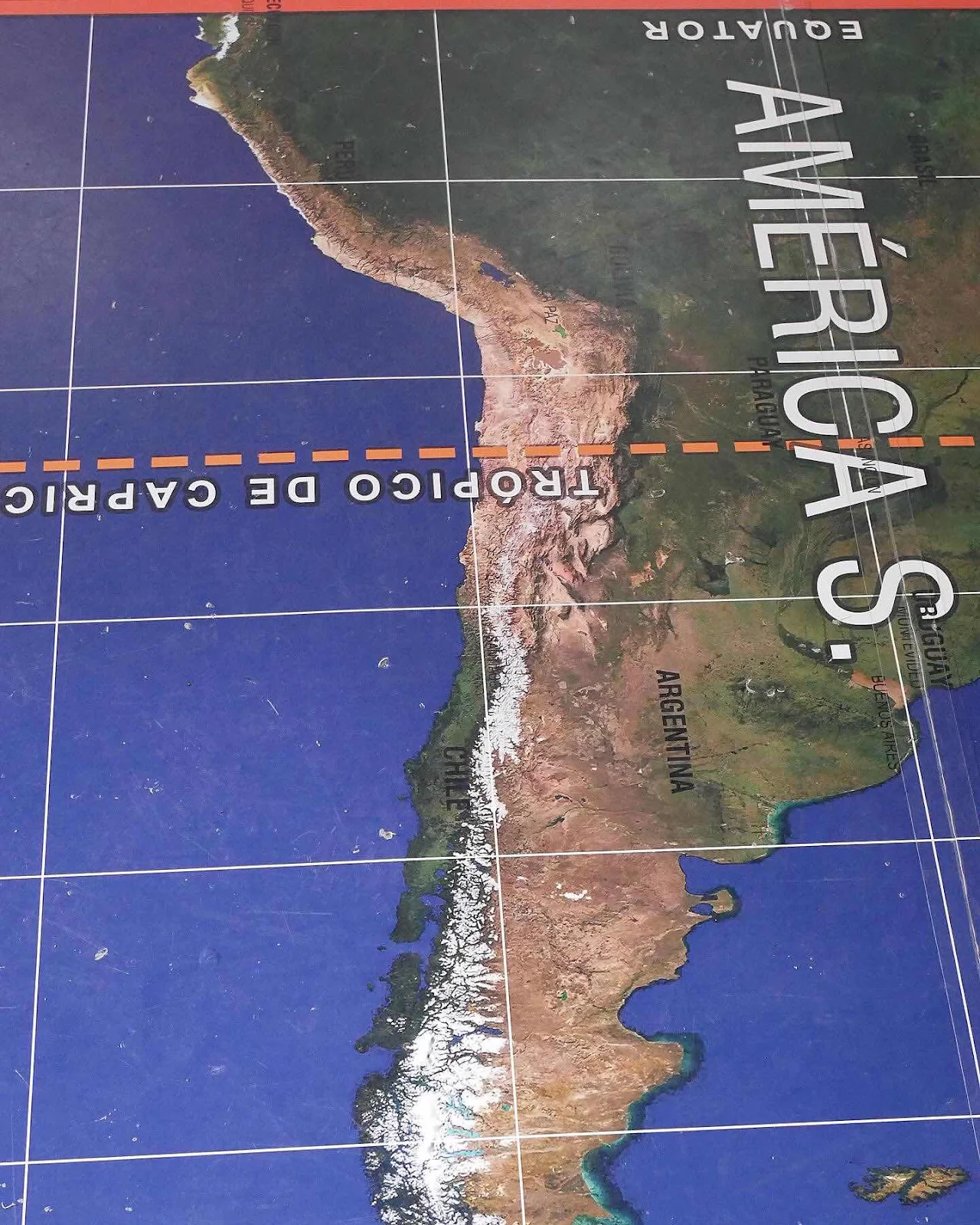
Our world is on its side; there’s a thought to take away. Oh and how about this thought. It’s 5,272 miles in a straight line to the bottom of the continent and we won’t drive in a straight line even if we could. Those mountains on our route are pretty massive. Look at them all, that giant brown and white smear:
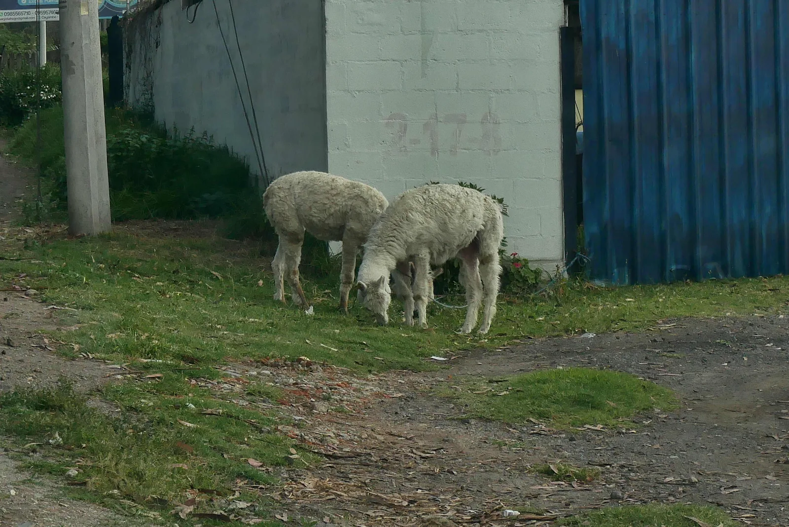
Outside there were a sign we really are in the Andes. Not women in bowler hats this time but two alpacas grazing:
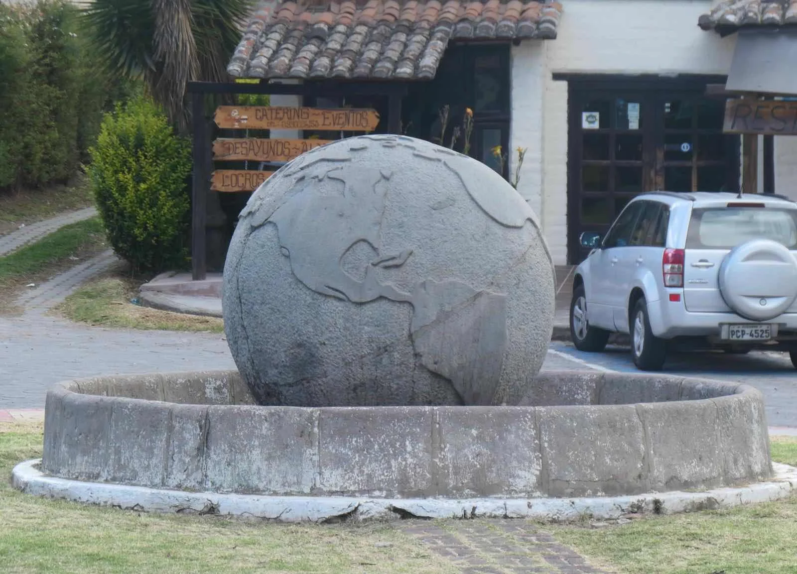
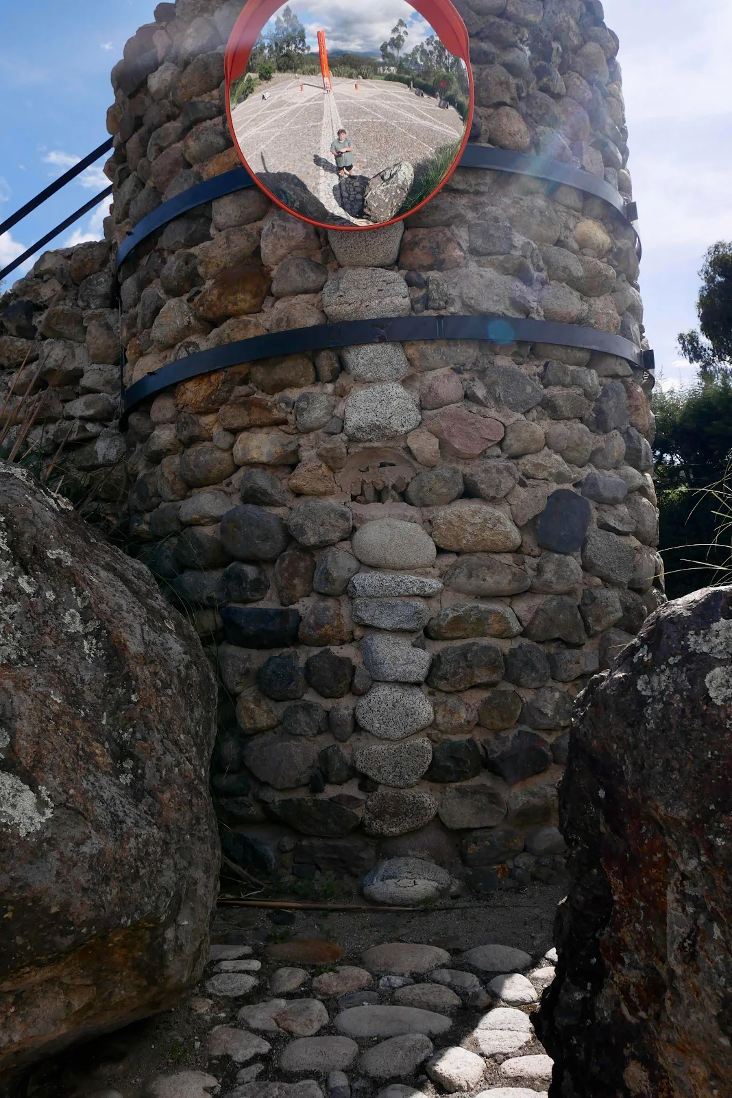
From the indigenous Quitsato sundial we passed a few hundred yards south to the Bola de Guachalà, a ball marking a near miss in the pursuit of the equator. No sundials here of ancient rituals; just a rather cute near miss.
I guess in the end it’s just an invisible kind made visible by idiots like me who come here to see whatever nonsense they erect here to give me a thrill.
And yet I feel pretty happy to have crossed a line that isn’t really there.