Go to the lake they said, Quiolotoa is beautiful they said so after we set sail from Andy’s Campground above Quito we laid a course to the lake. You can look it up if you like.
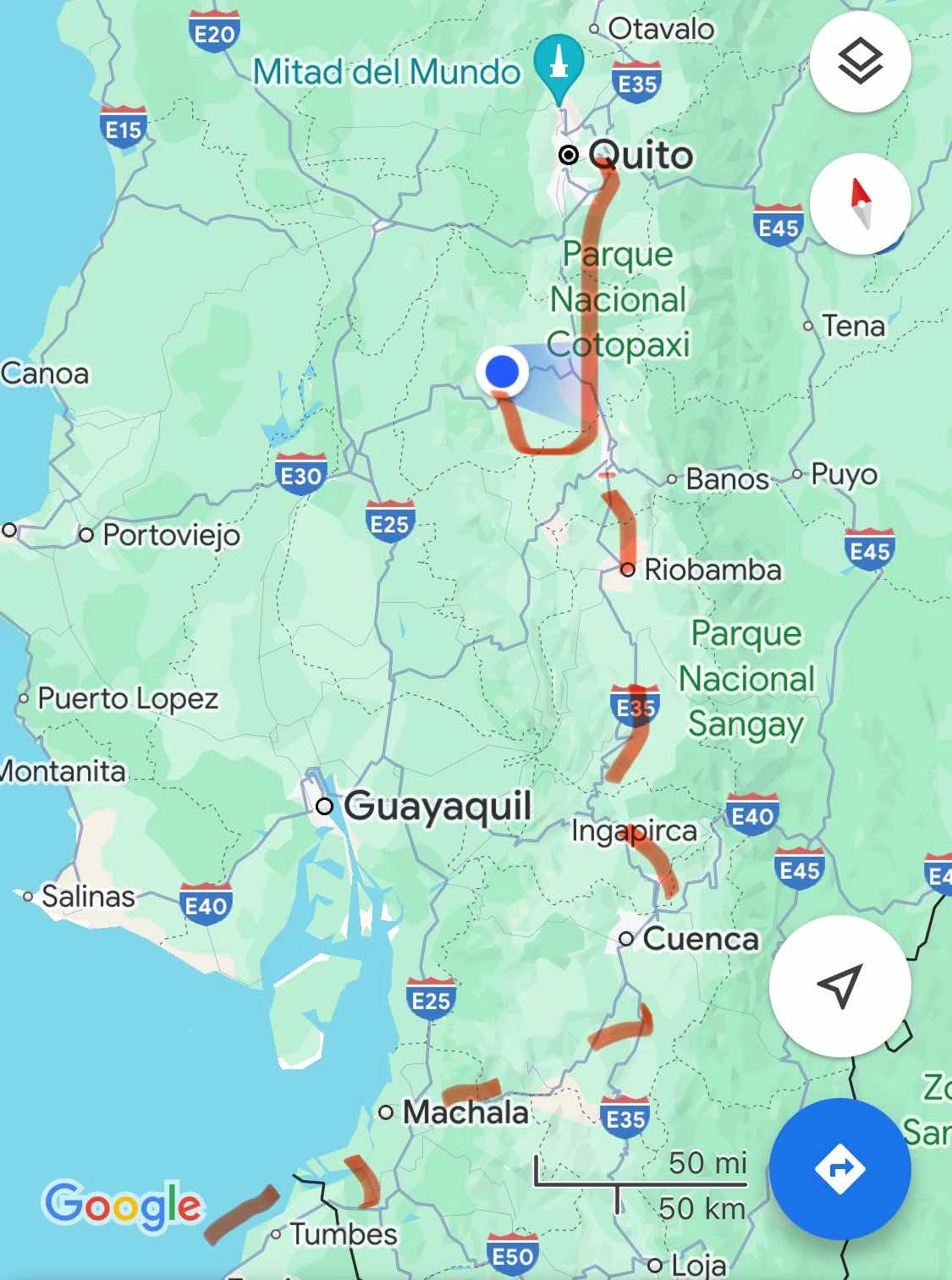
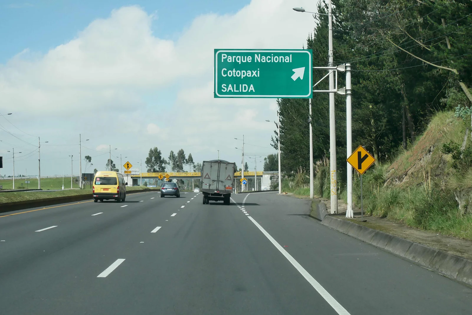
Our route was pretty straightforward out of Quito driving south on Ecuador Highway 35 as though going to Peru; which is in fact the plan following the crude dotted red line with side trips over the next couple of weeks.
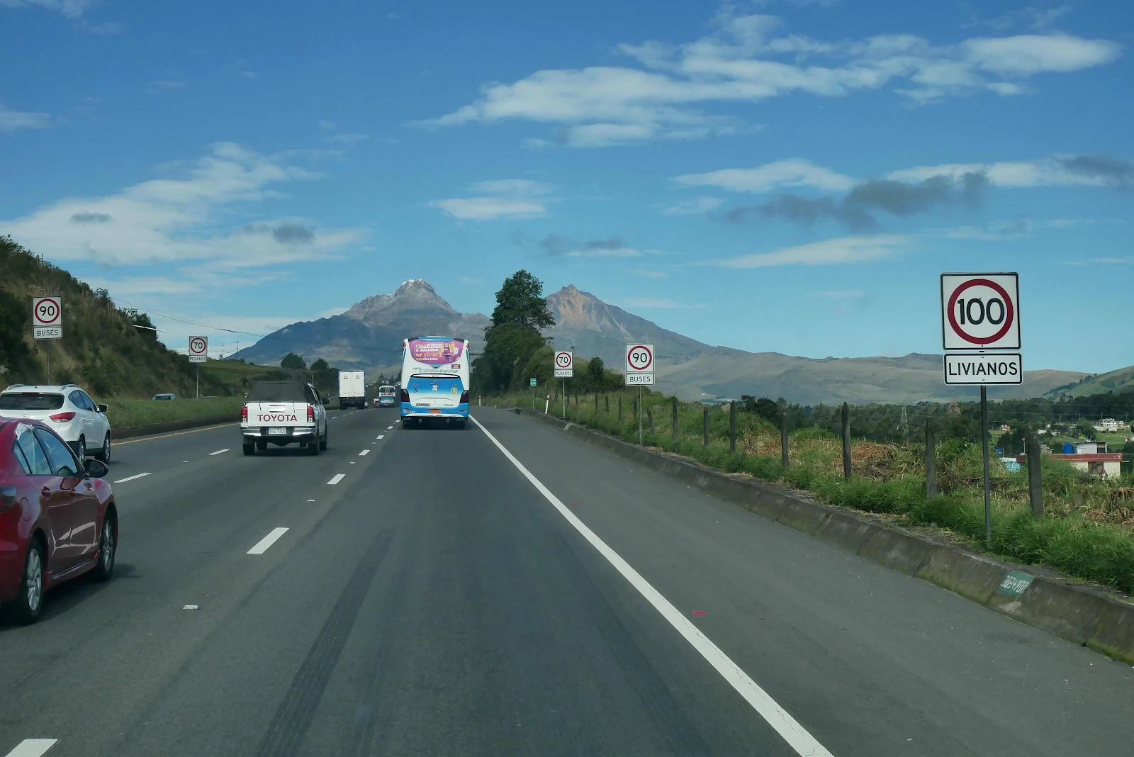
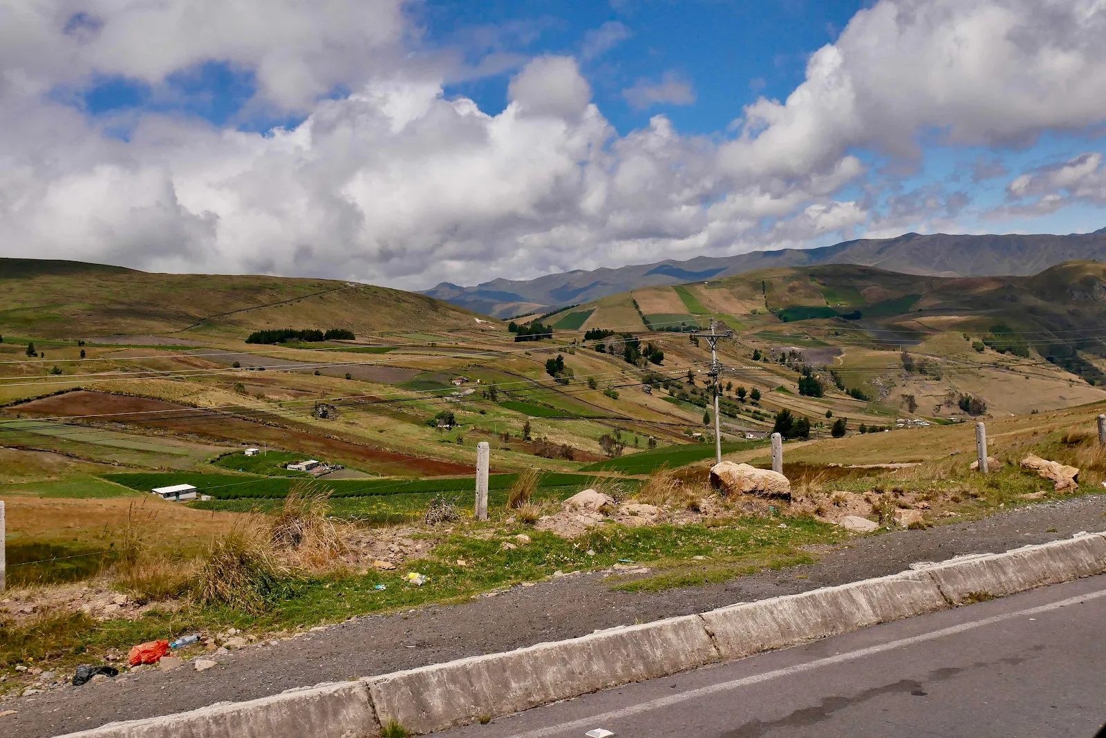
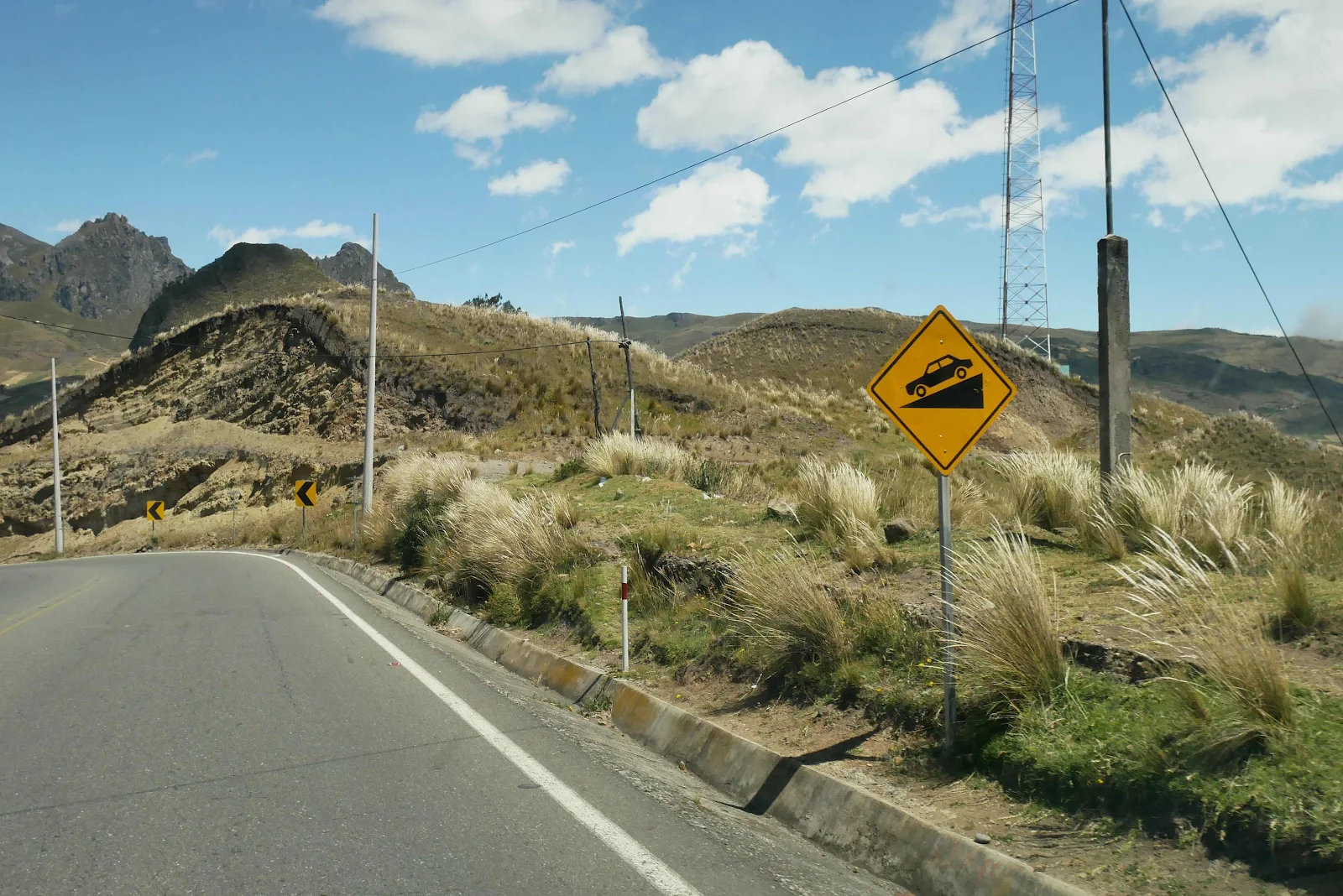
The PanAmerican Highway in Ecuador is a braid smith strip of asphalt for the most part and after we crossed our first pass at 11,000 feet we descended into a valley.
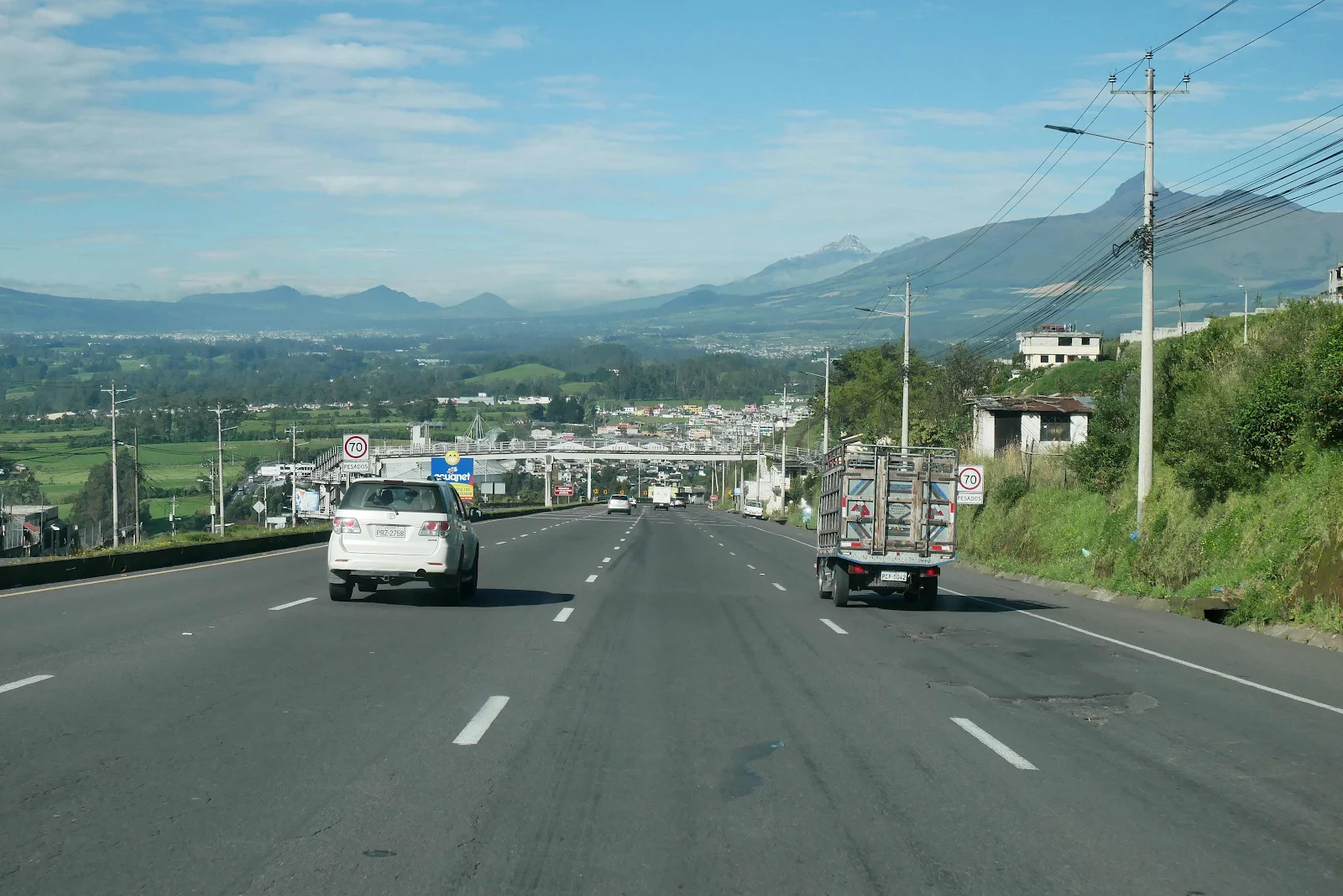
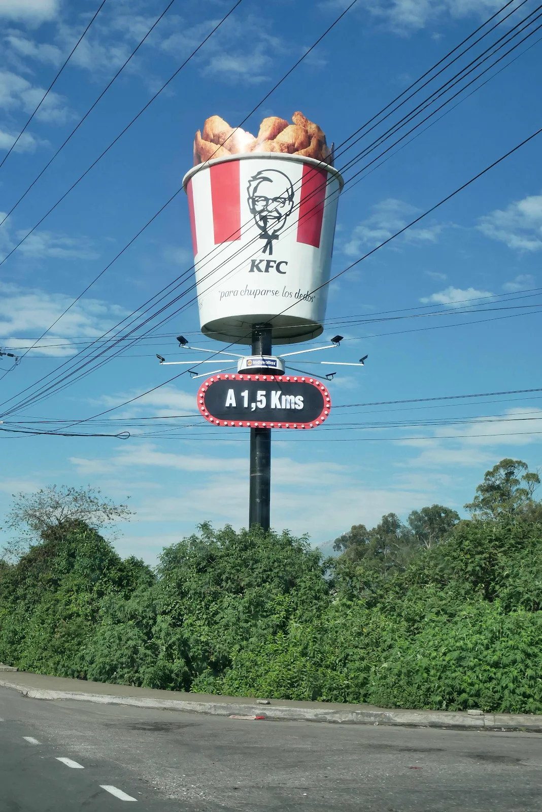
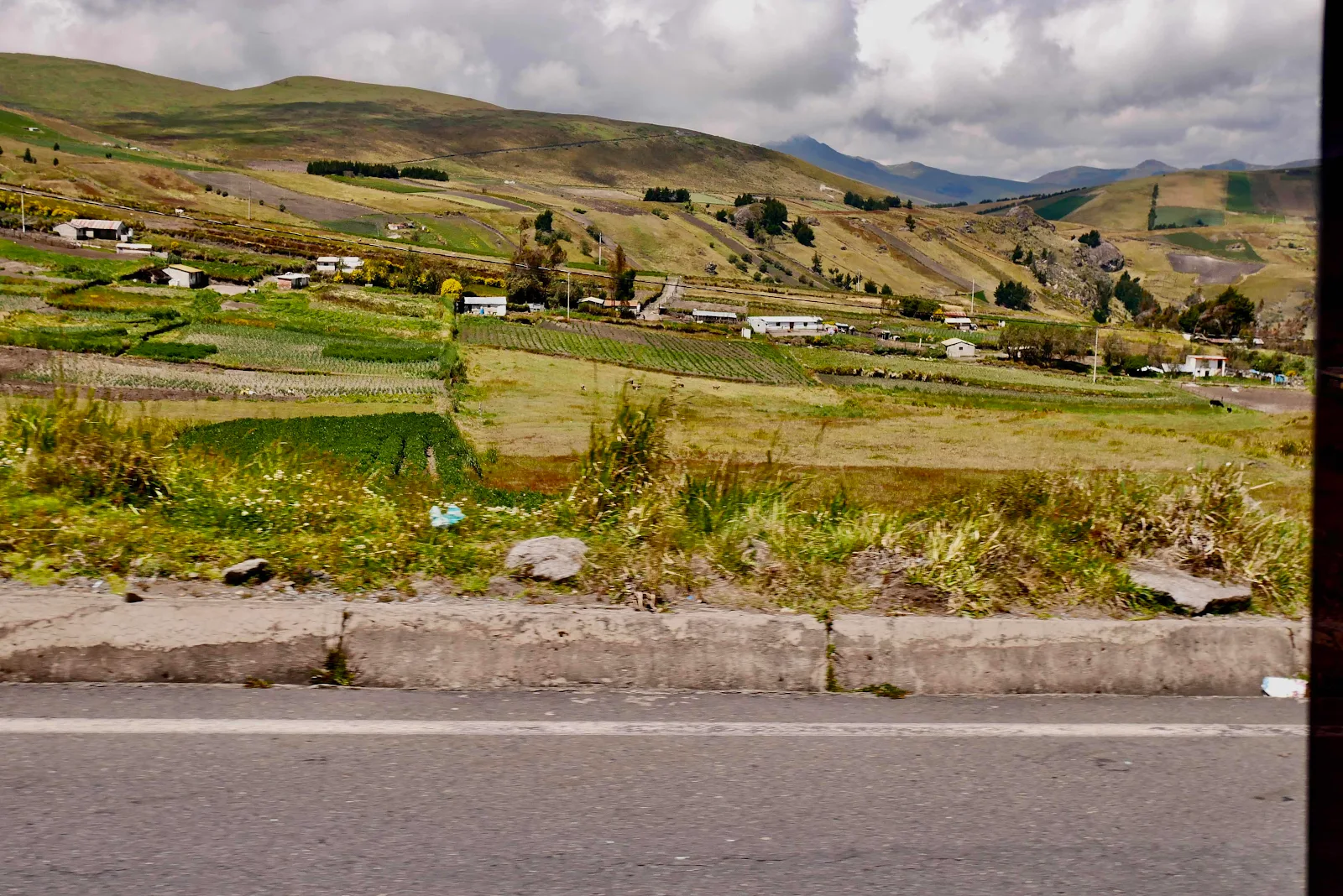
There’s farming in the flat lands of course but also up the rather steep sides of the many volcanic peaks lining the highway. Oh and you may spot the occasional elusive fast food joint of fond memory.
It was not planned to be a long drive to Quilotoa Lake, a couple of hours maybe so we figured we’d stop for breakfast along the way. We ended up stopping at a gas station and rather unimaginatively choosing to get some empanadas which actually turned out quite good. We miss the abundance of roadside food stands and coffee sellers along Colombia’s highways.
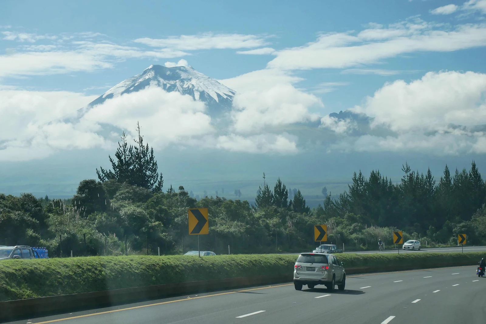
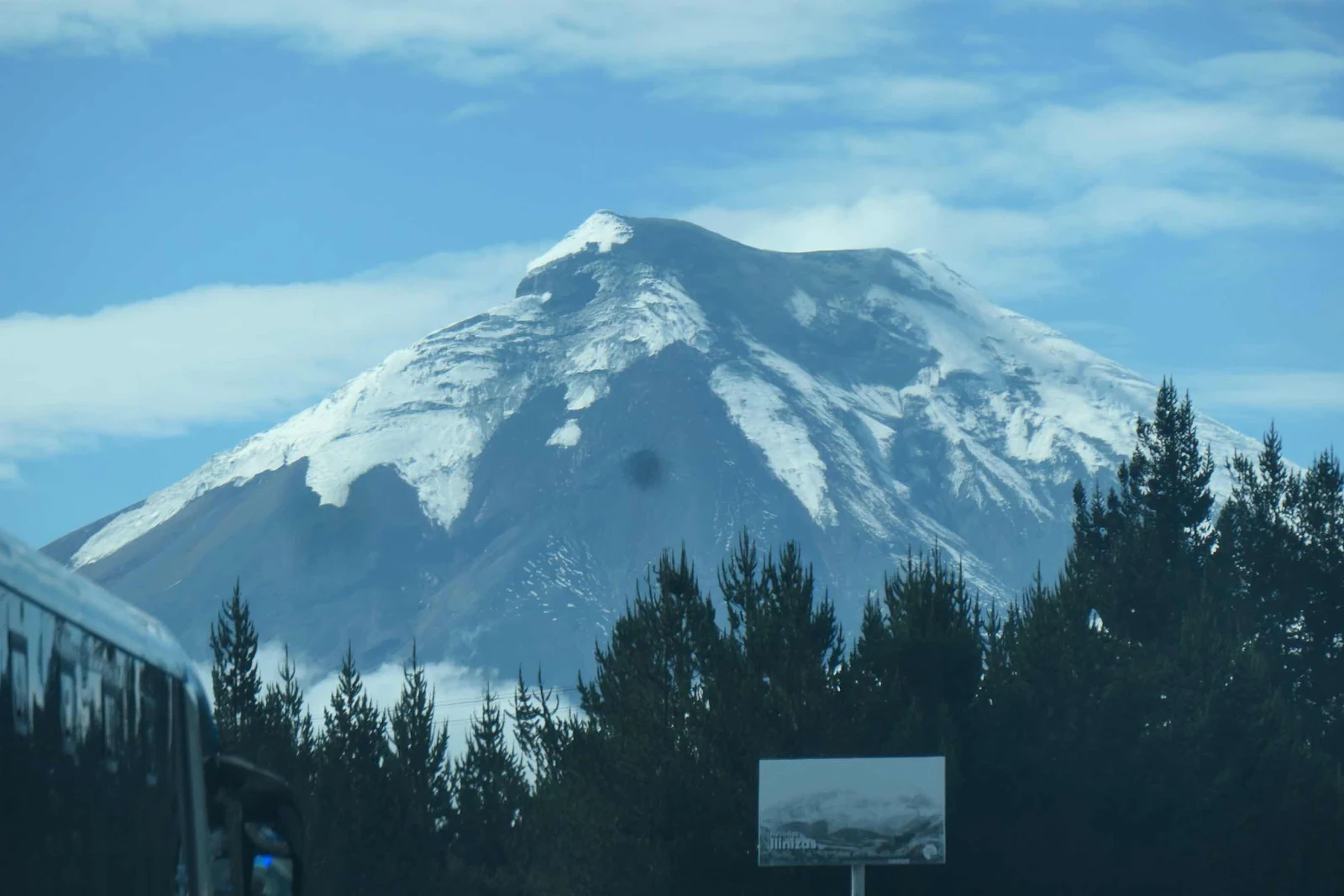
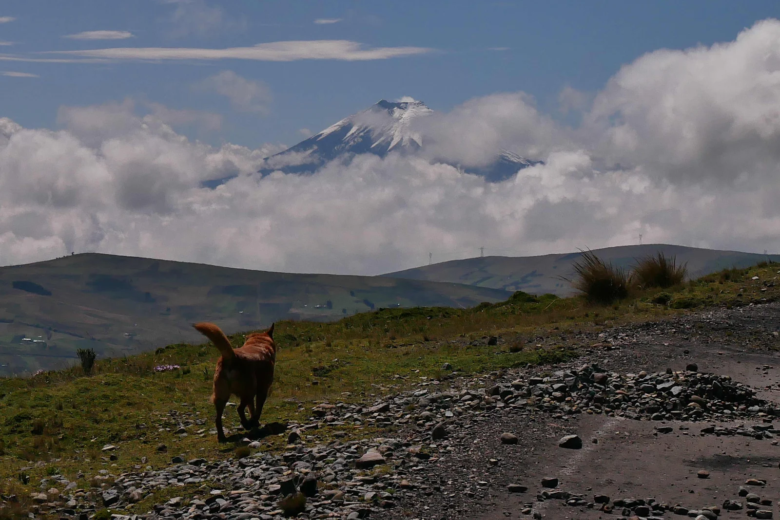
And then the road took a swing by Ecuador’s second highest volcano, Cotopaxi at 20,000 feet. We’ve seen it quite clearly from the campground and on this sunny day it stood out clearly from the clouds surrounding it.

There is overnight parking there but dogs aren’t allowed inside the park, and as we had no intention of climbing the thing going closer seemed unnecessary. We are also planning to swing by Ecuador’s highest mountain Chimborazo further down the road later this week.
We were determined to see the lake.
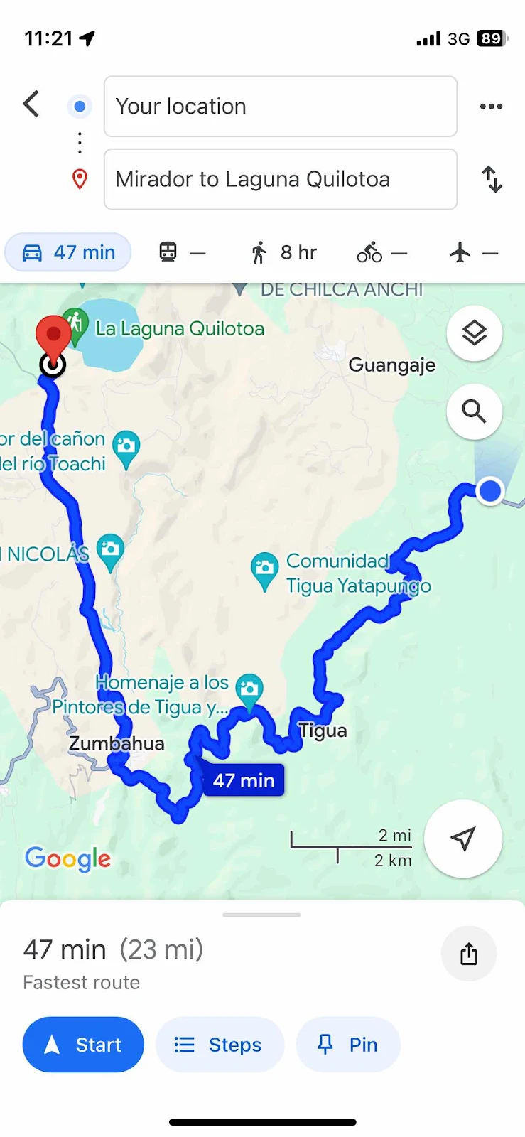
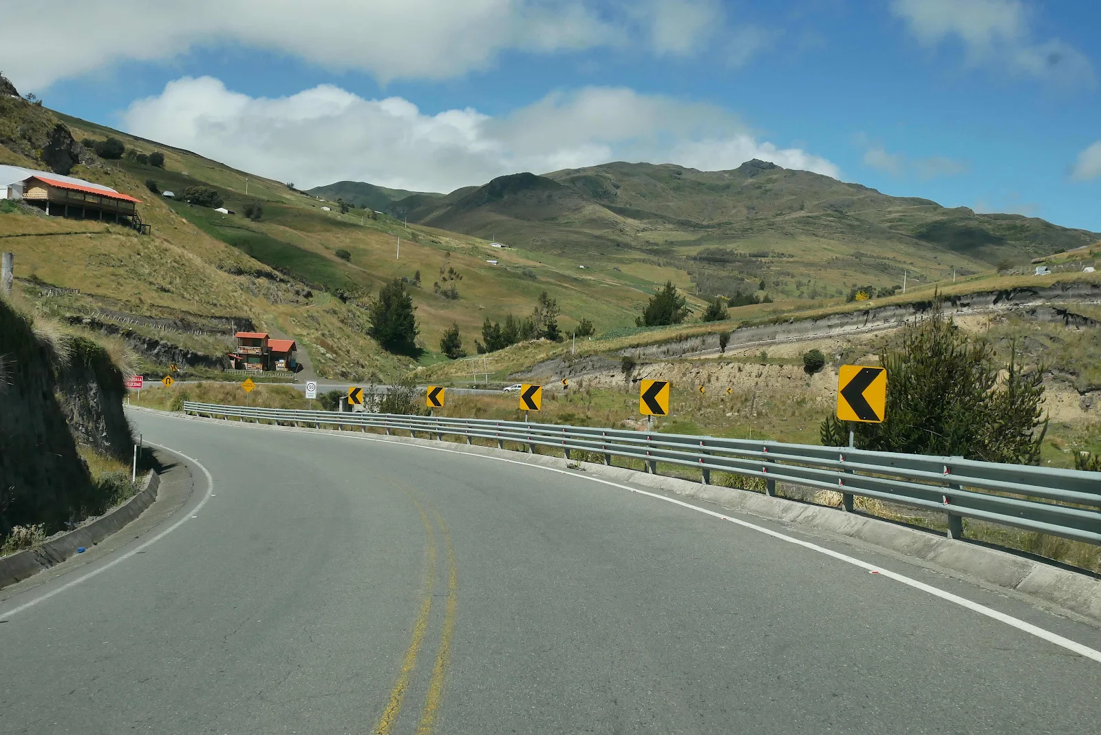
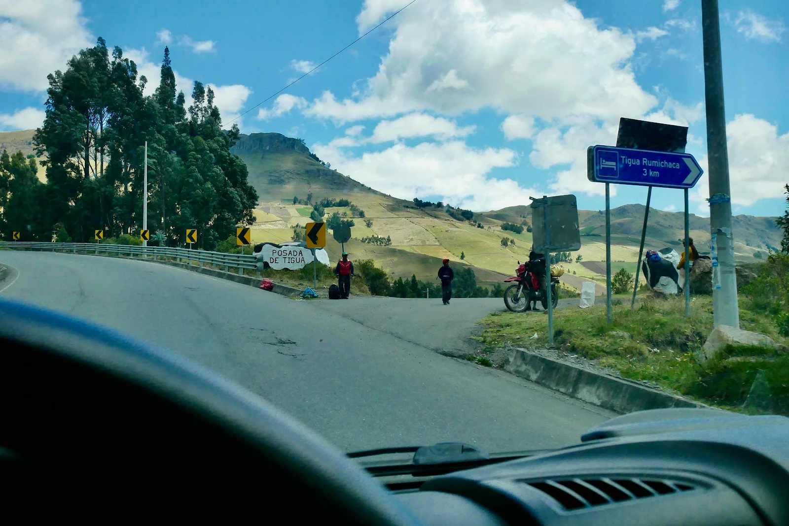
Andy at the campground told us the route to the lake was quite scenic and he wasn’t wrong, in turning off the PanAmerican and climbing into the mountains we found ourselves a long way from the familiar. The road had elements of what I call twisted intestine syndrome:
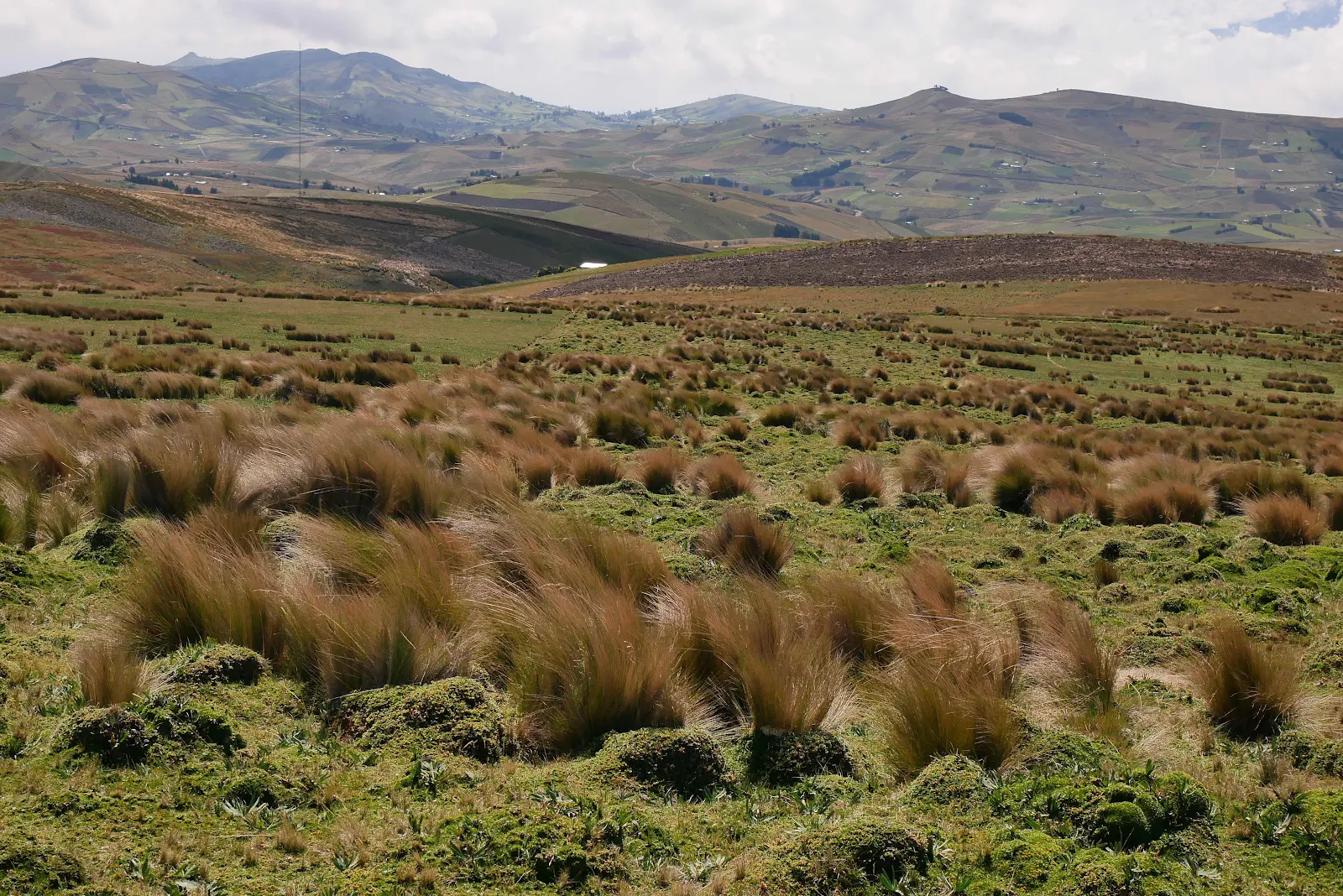
We were soon back up above 11,000 feet and trees were replaced by open mountain meadows, what are known here as “paramó” or Andean high plains. In Peru this countryside above the tree line is known by the more familiar and descriptive “altiplano.”
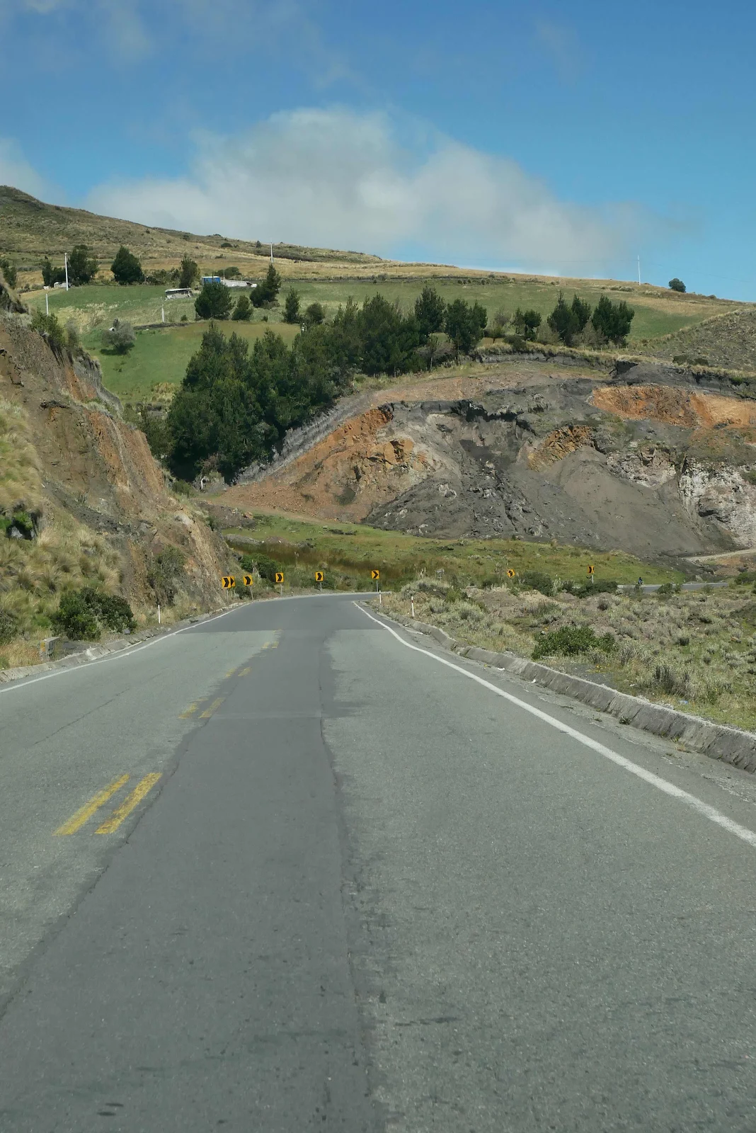
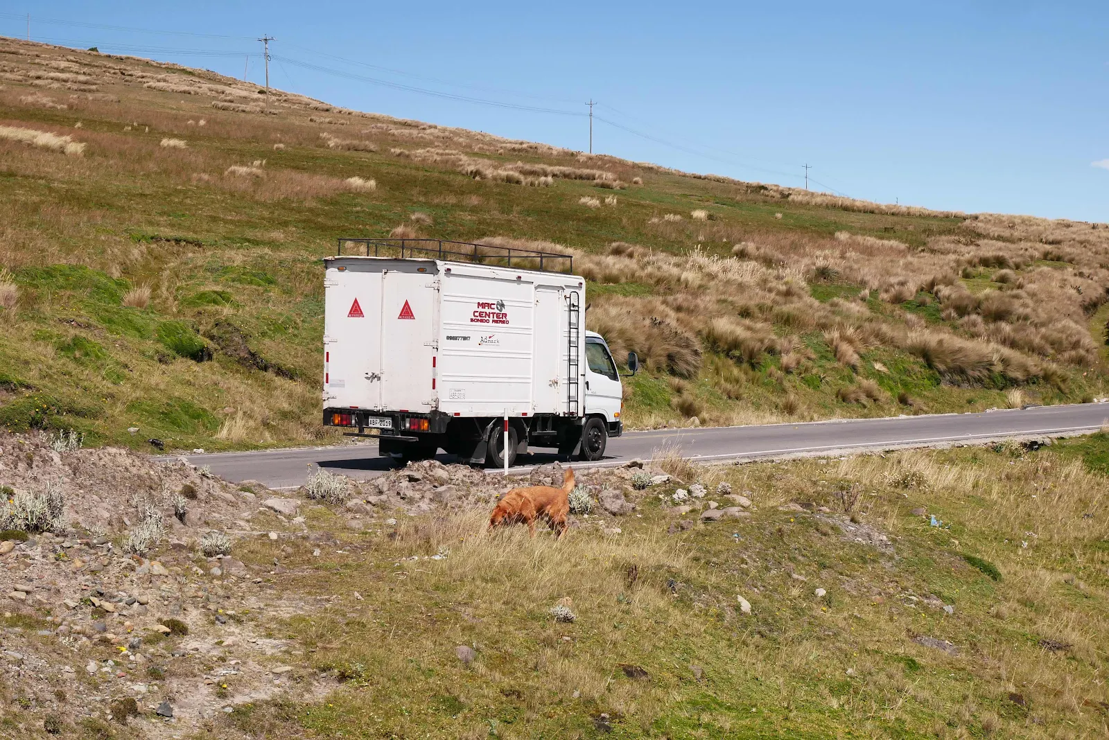
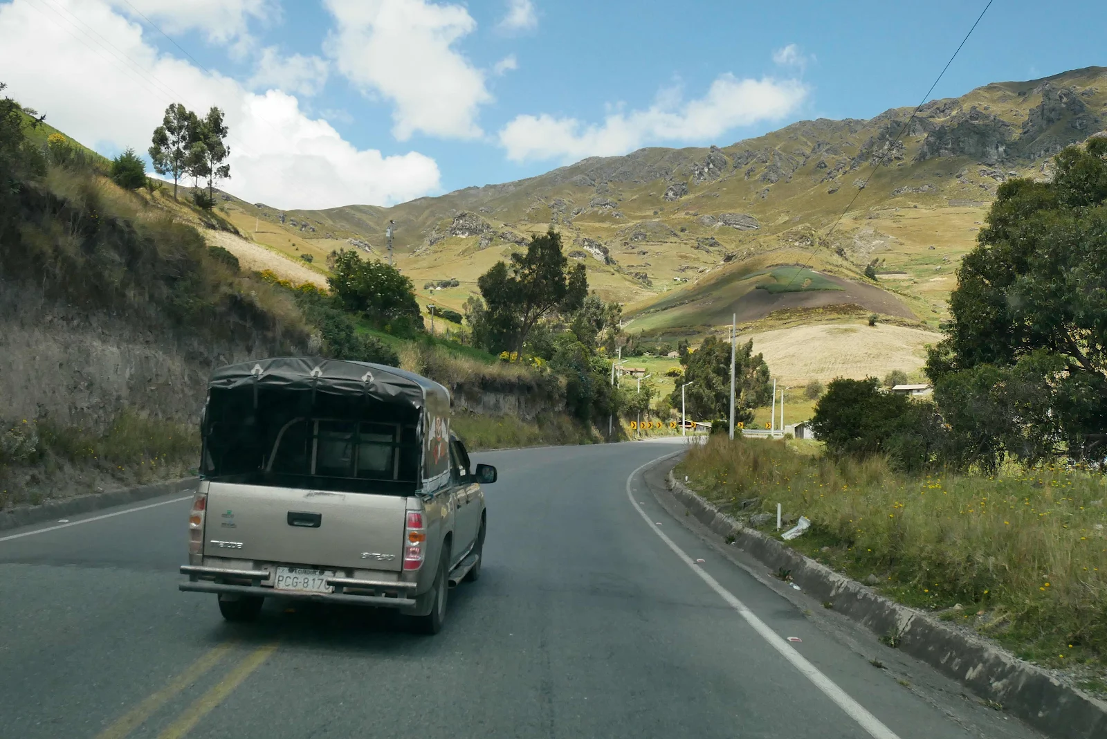
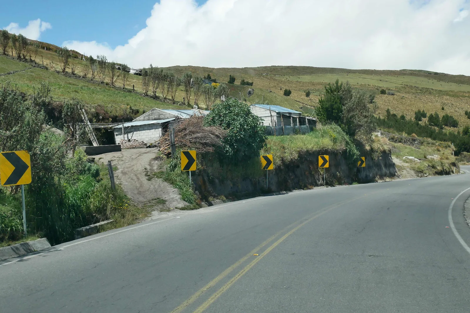
The road has a few, quite a few potholes, but it wasn’t bad by our rather lowered standards. At these altitudes on these roads 25mph is a suitable speed that allows you to dodge alpacas and pot holes as they appear.
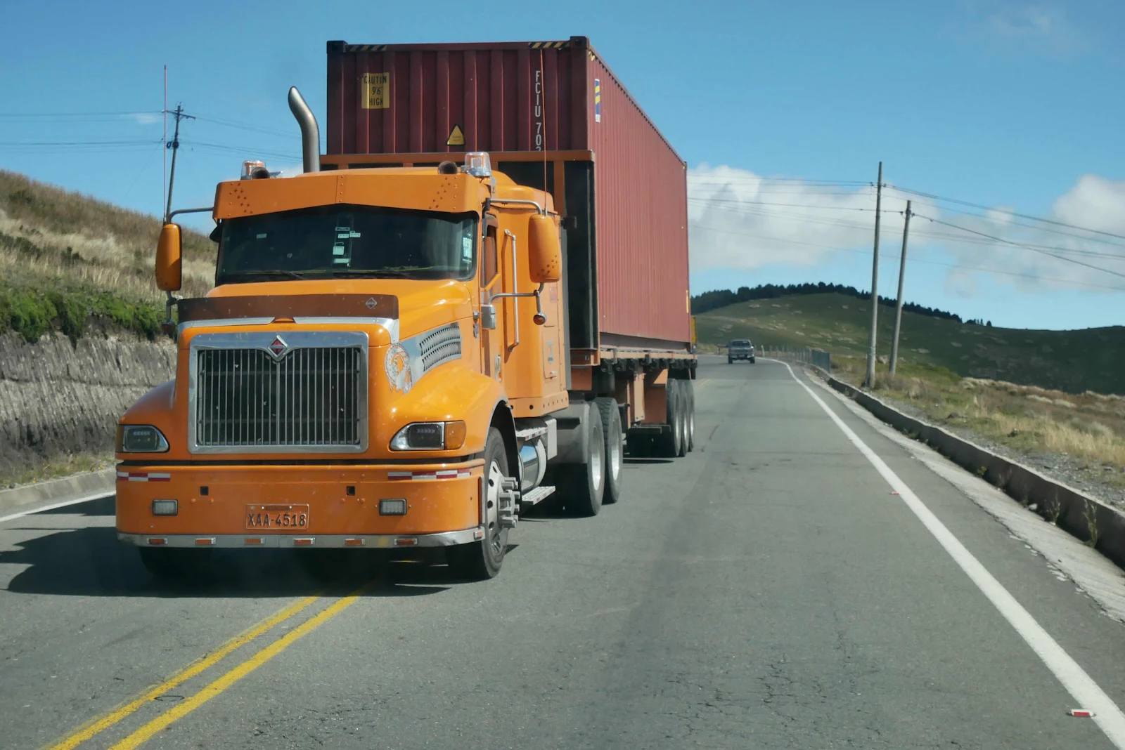
And trucks too.
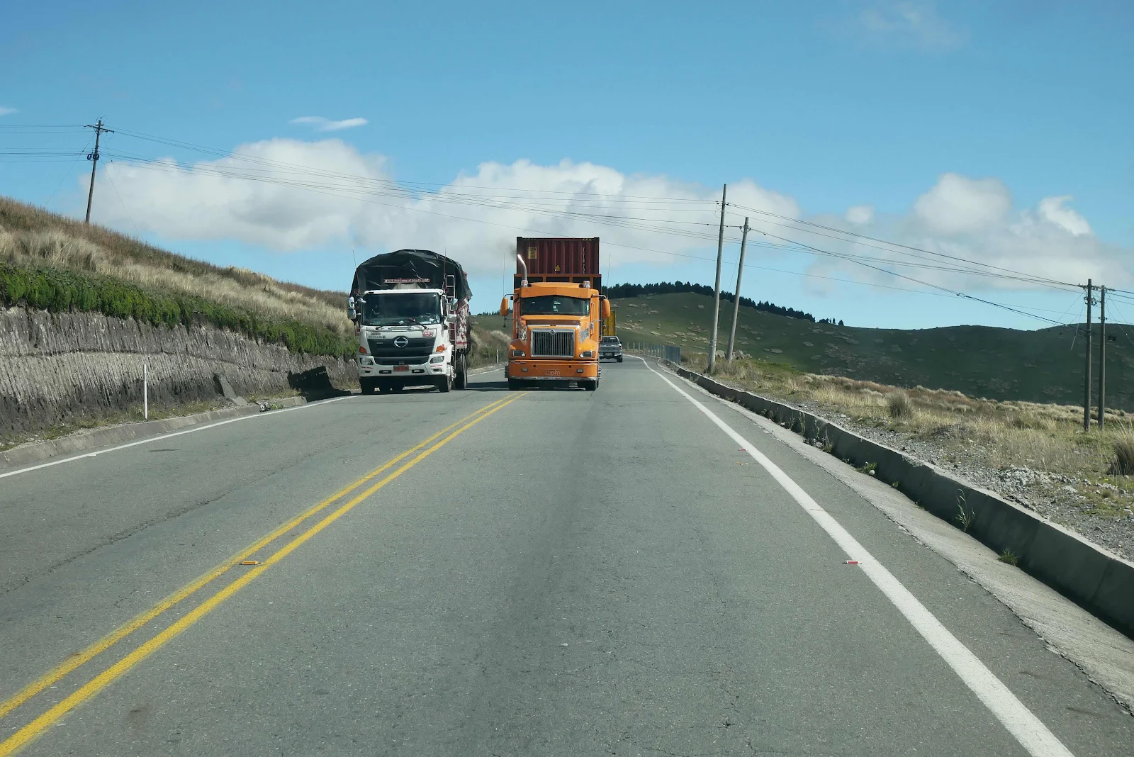
When they surprise you with a badly timed pass you need to be and to stop quickly and hope for the best.
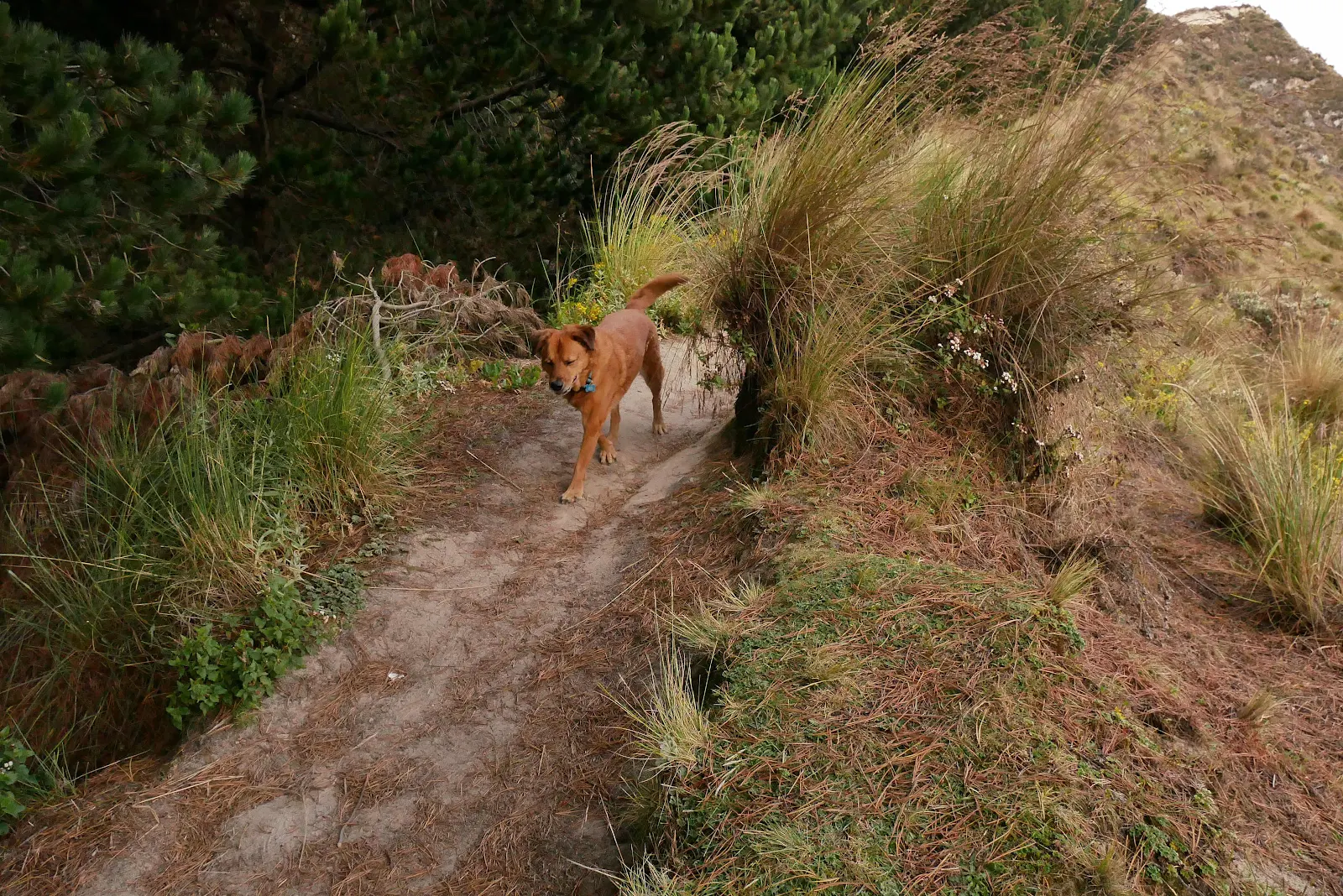
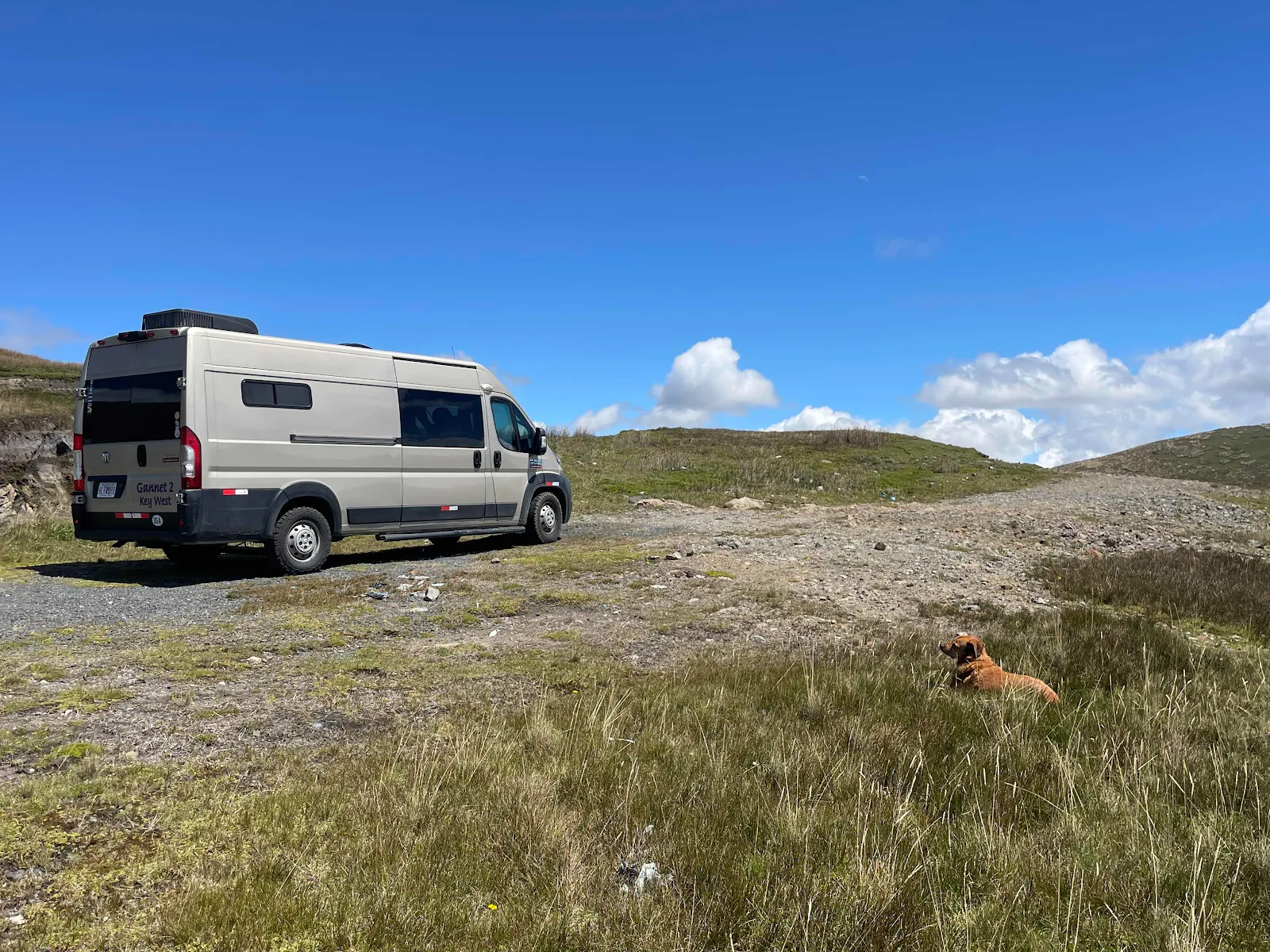
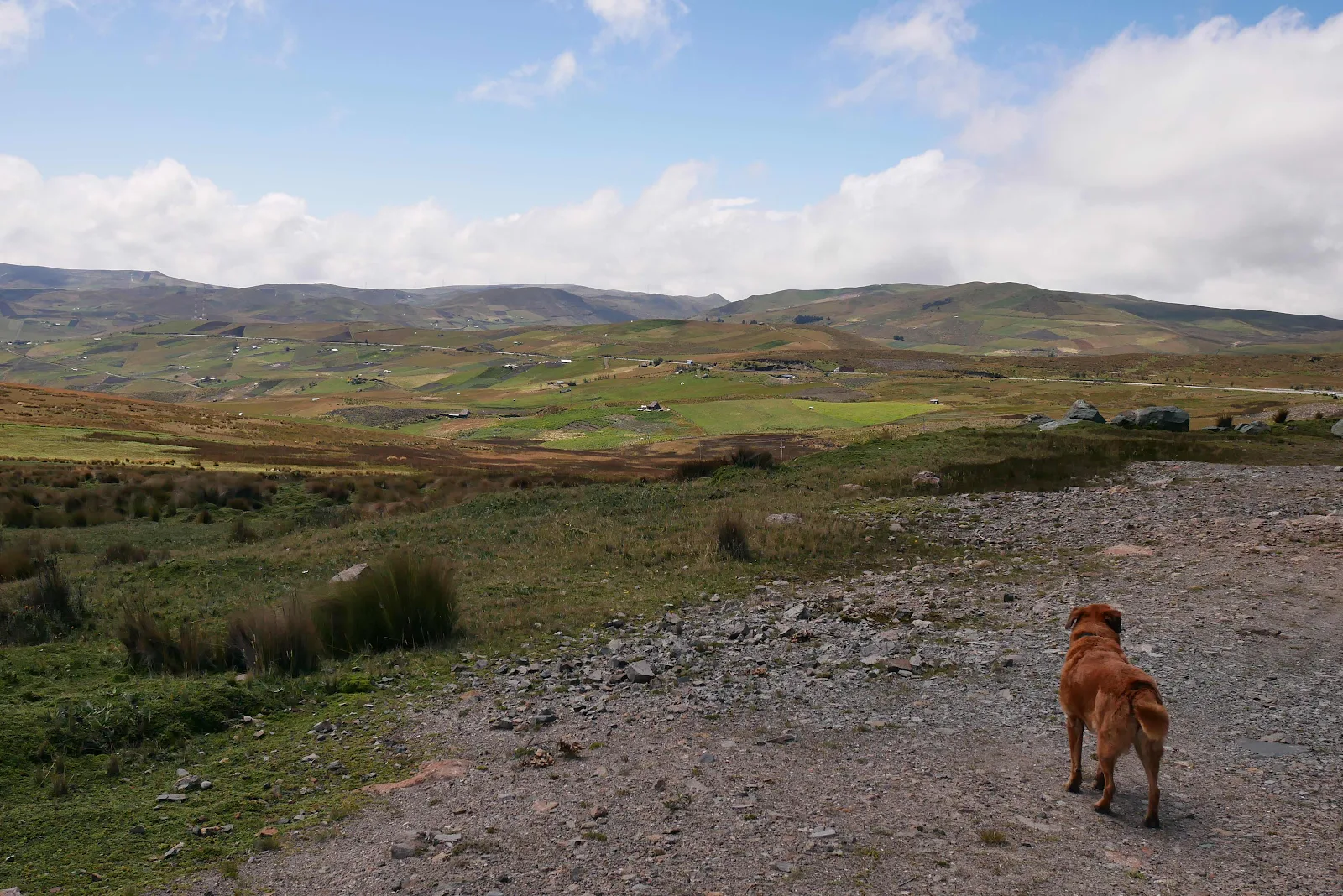
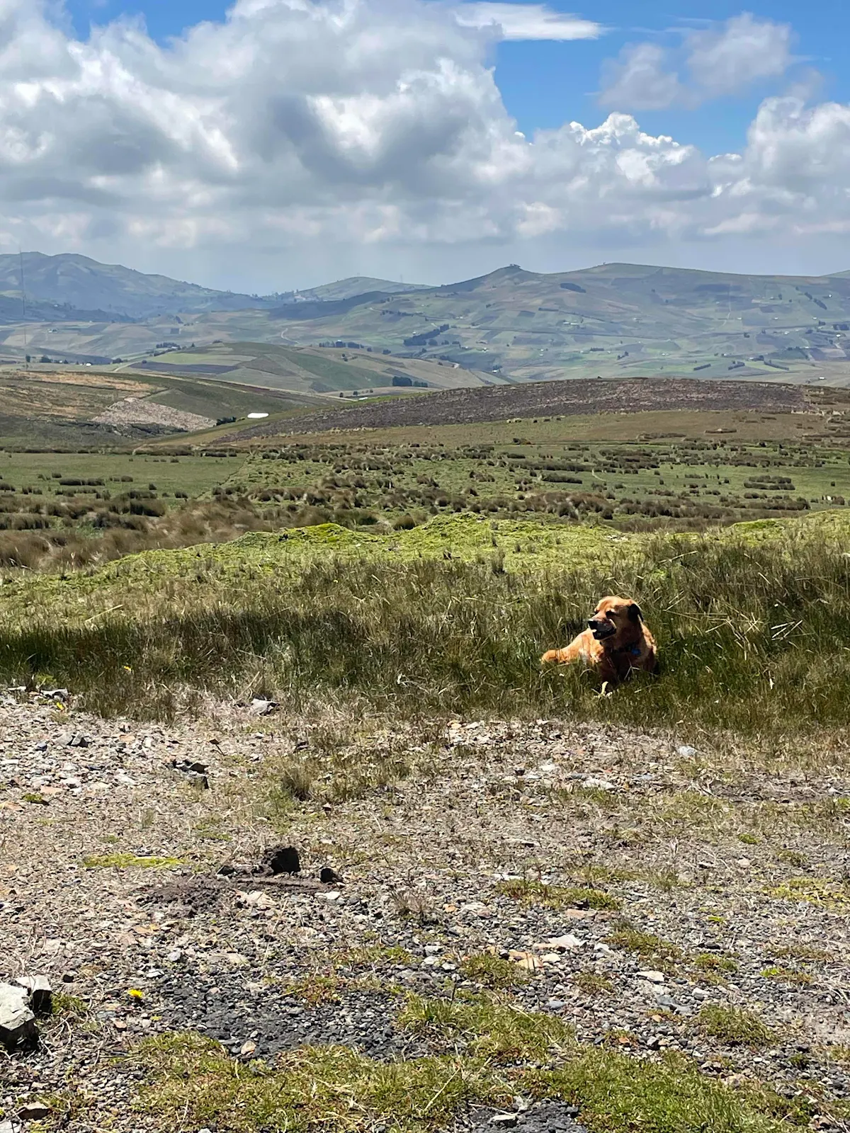
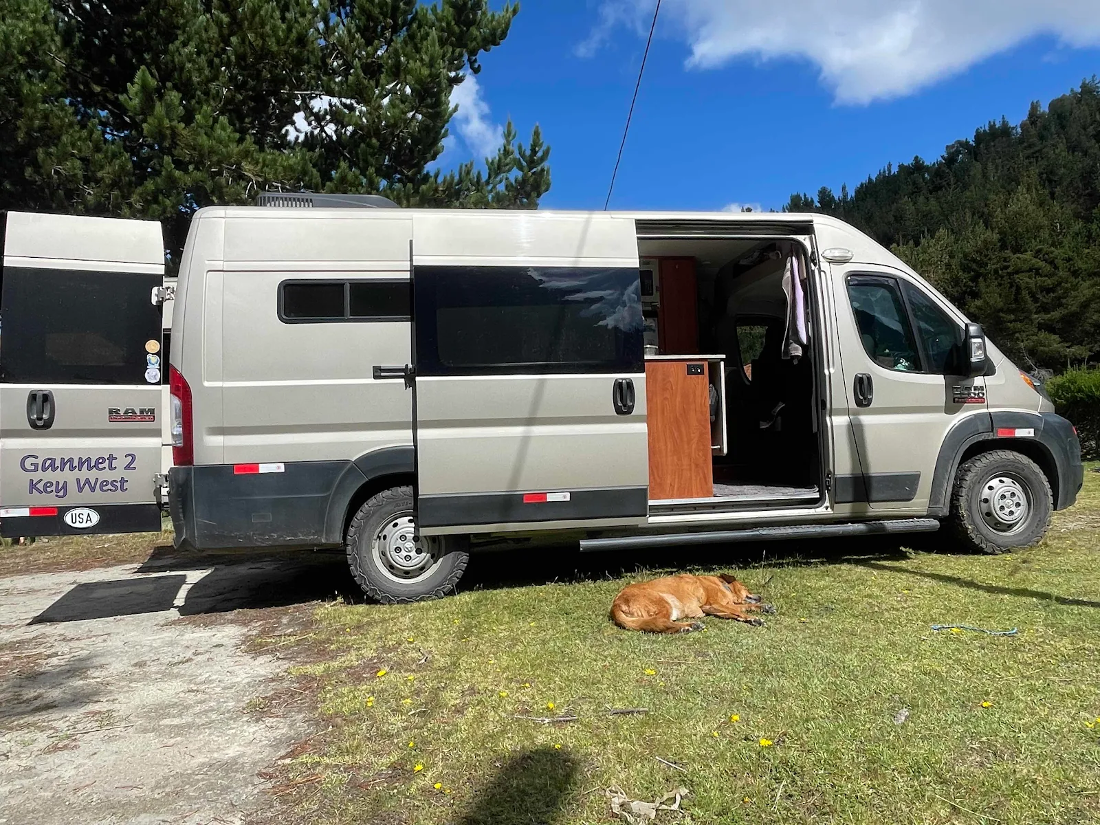
I saw an opening in the guard rail and I ducked in, impulsively. Layne needed a nap, Rusty wanted a walk and I was ready to take some photographs so we were all happy for 45 minutes or so.
There was a surprising amount of traffic on the highway with a continuous flow of cars and trucks and motorcycles grinding up and whizzing down.
Cotopaxi peeping between the clouds:
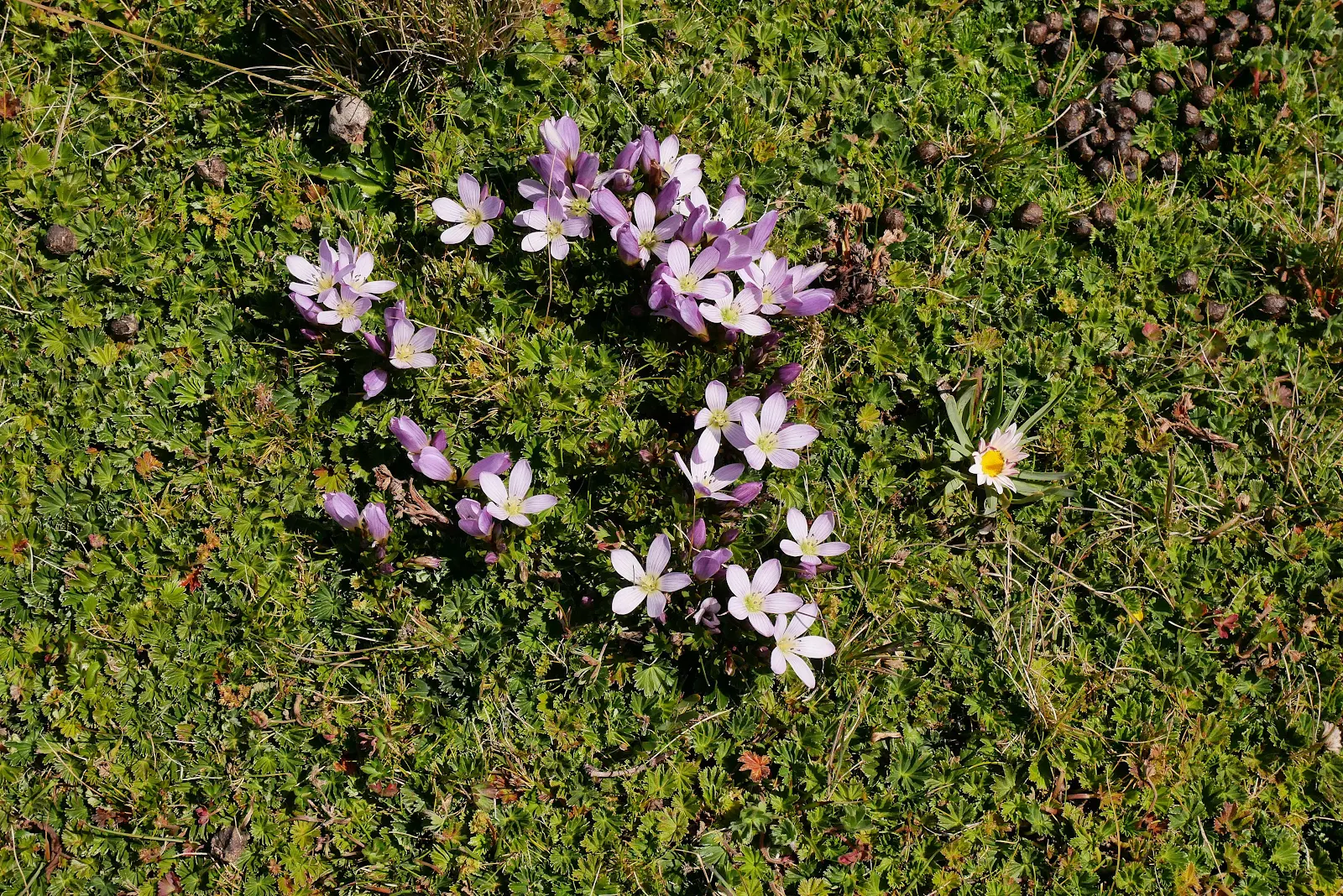
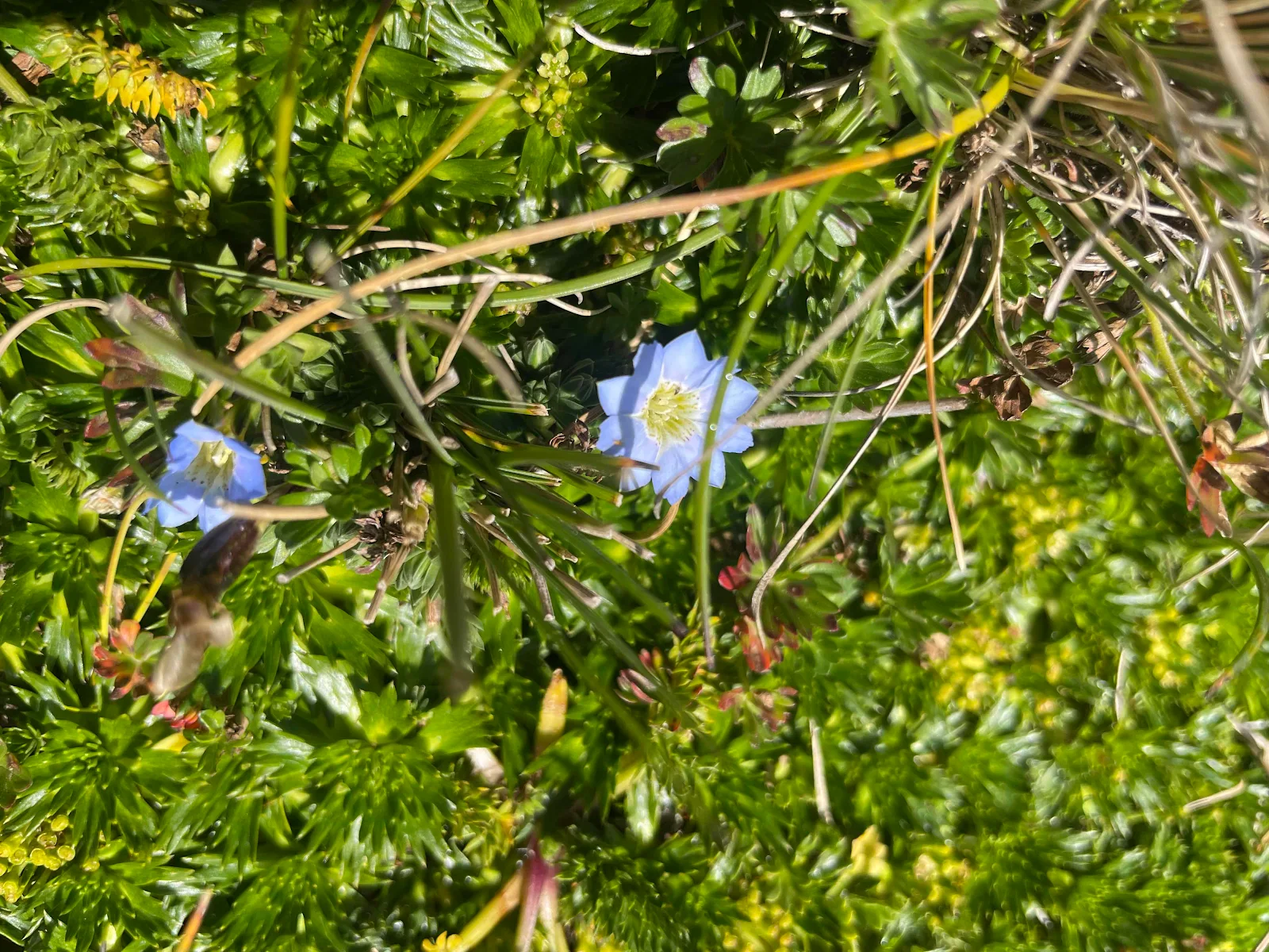
Alpine flowers:
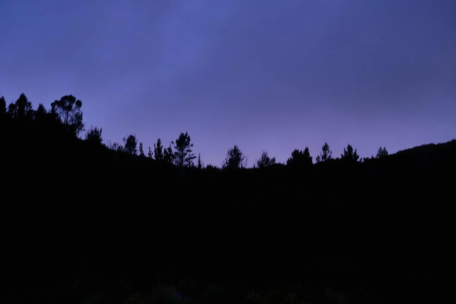
We hung around admiring the scenery which in the words of some English fellow travelers reminded them of Scotland.
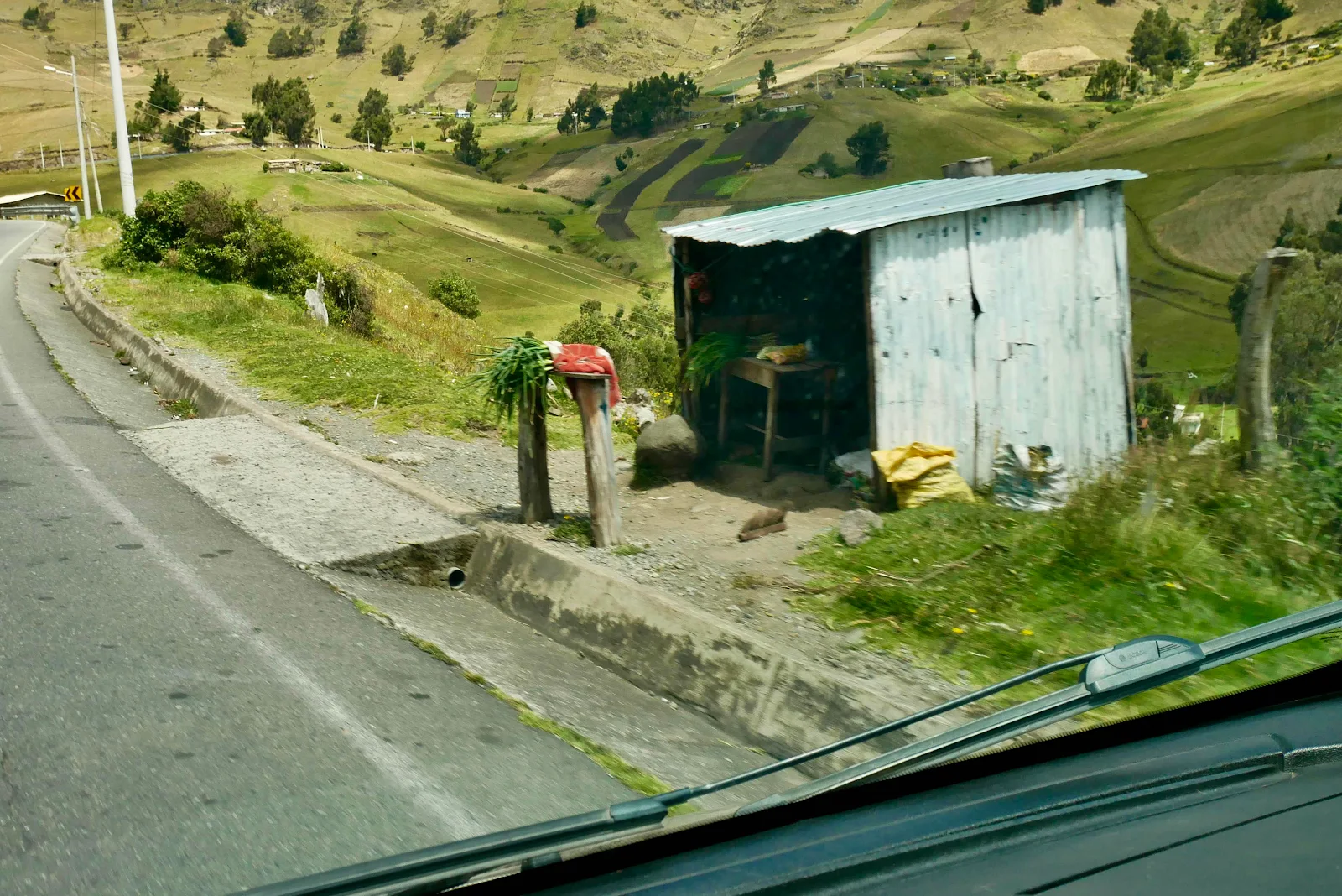
People live up here in funky huts and farm at 13,200 feet. It’s medieval.
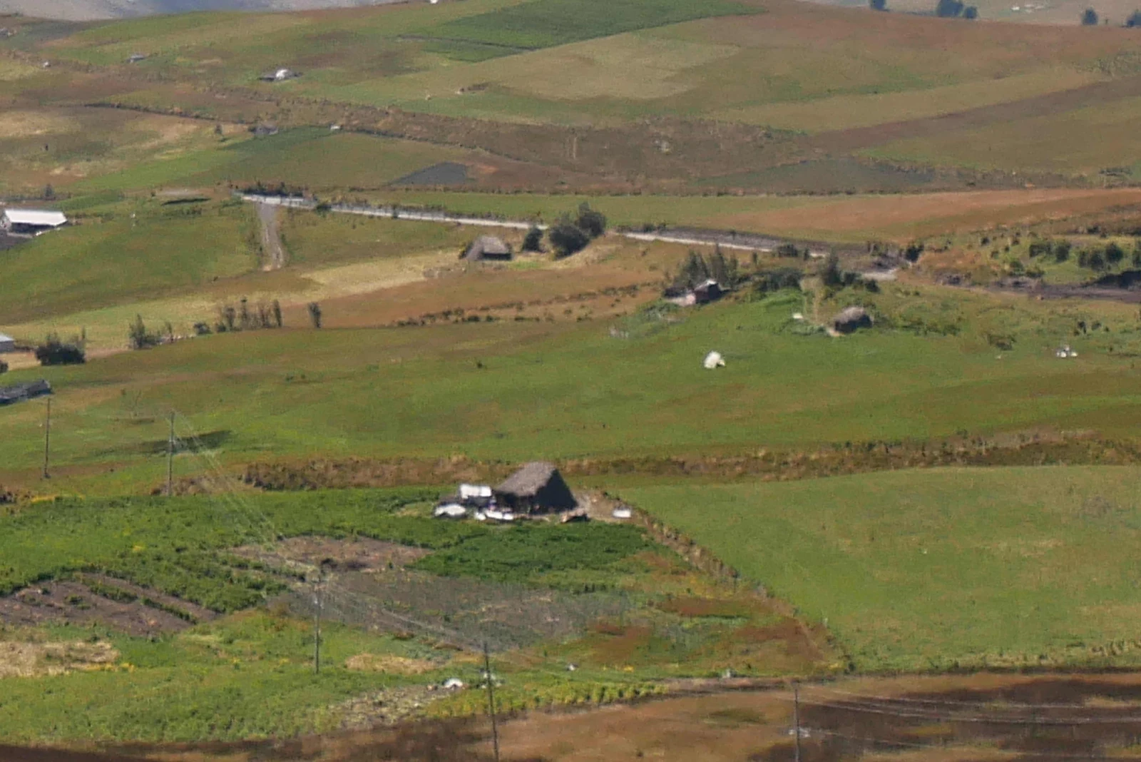
Once again we felt like we were in the back of beyond whereas in point of fact we were just in some Ecuadoran peasant’s back yard.
On the road again… da do da do da etc… we’re on the road again.
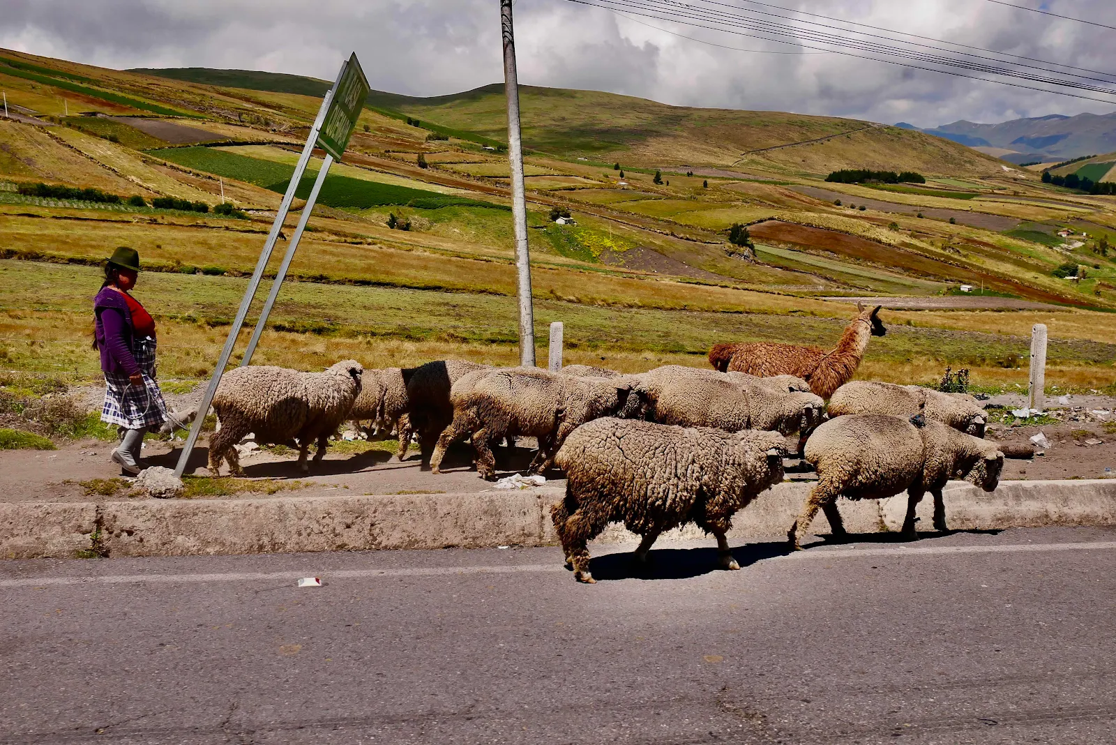
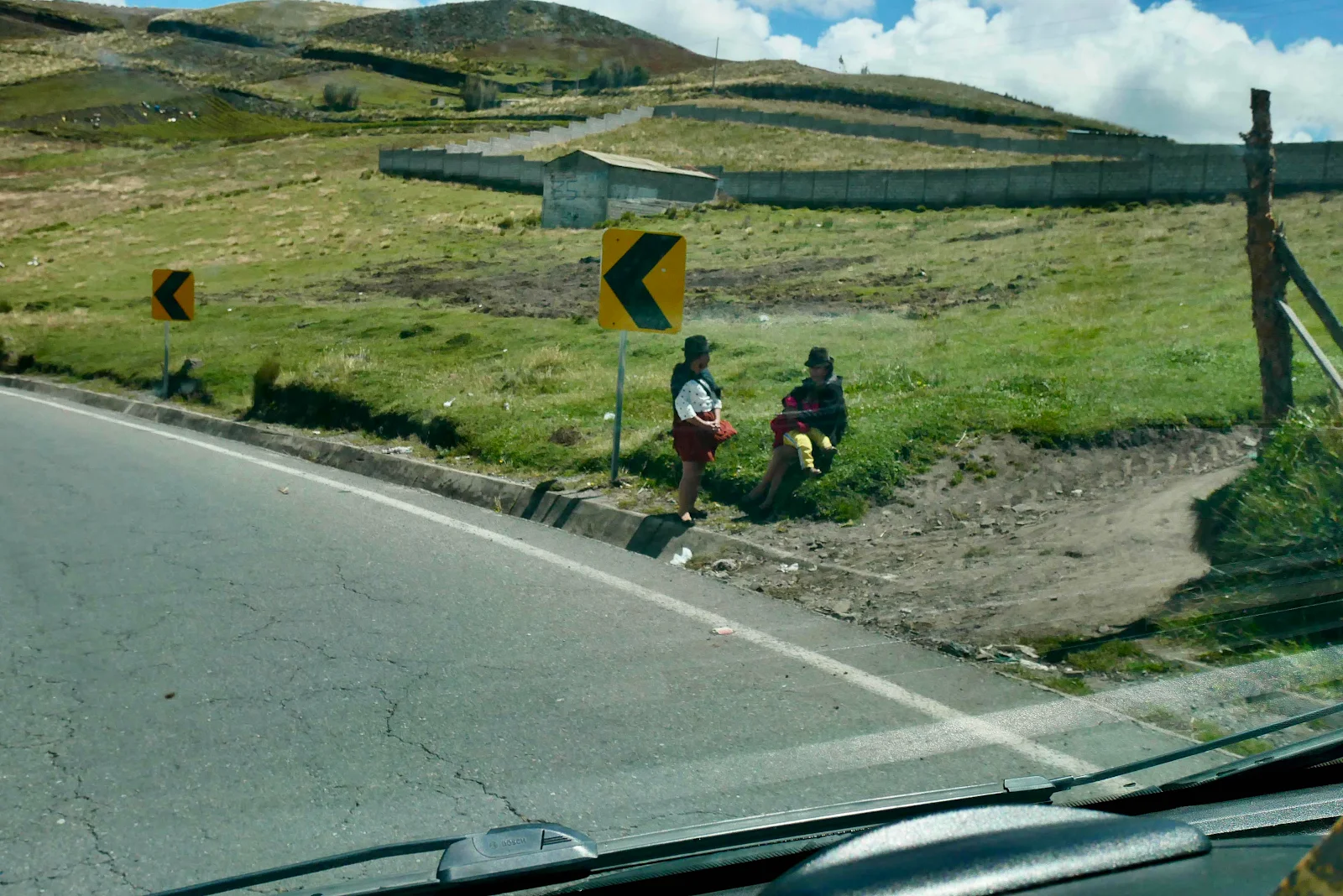
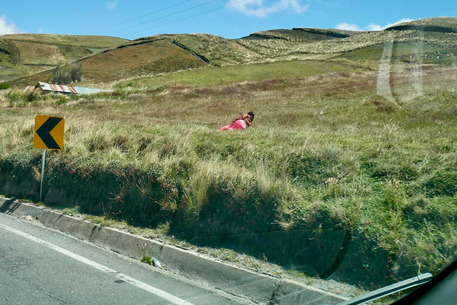
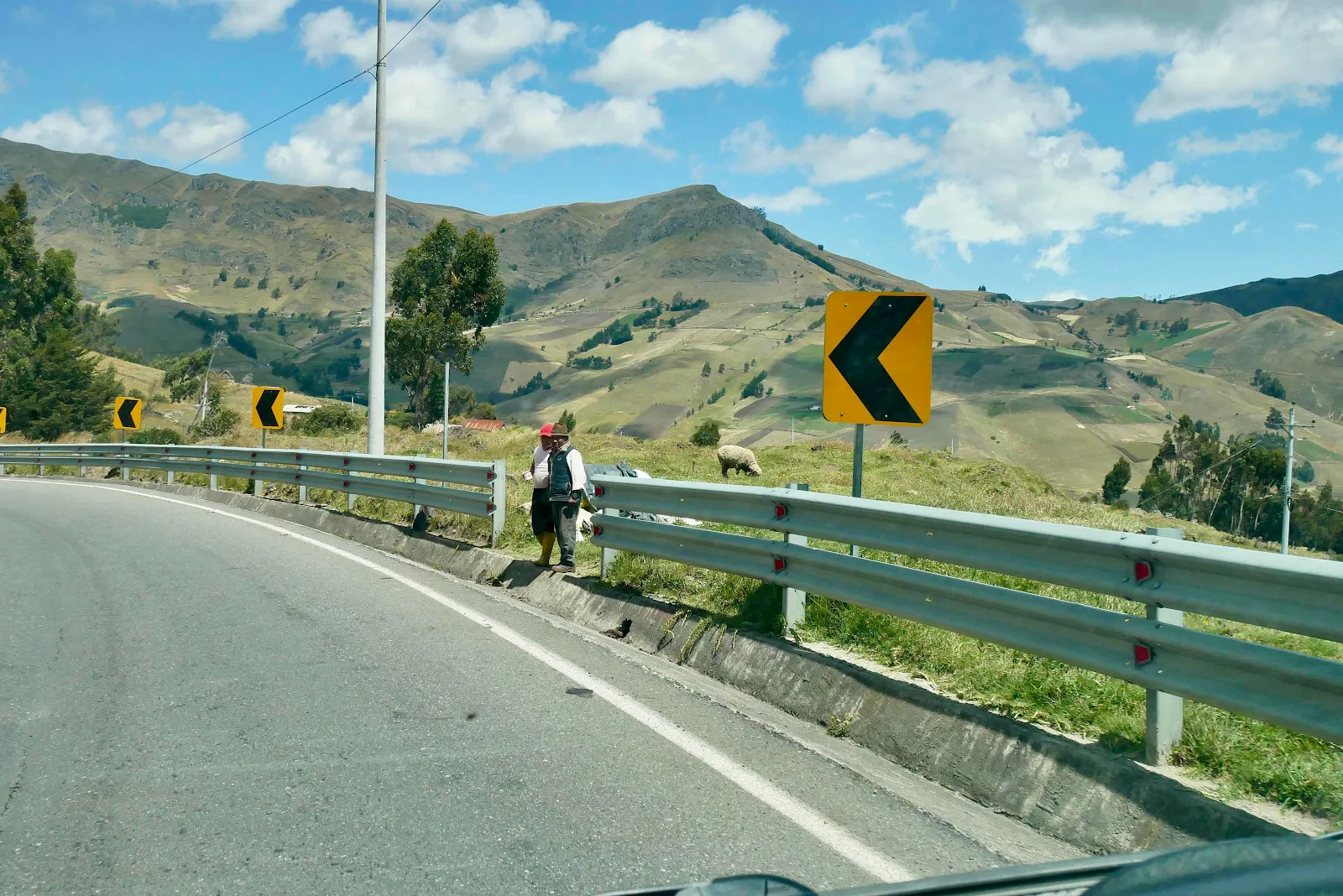
You keep seeing random people by the side of the road. Sometimes they are in a total wilderness. But always they are waiting for the bus.
Or laying a field for some unknown reason.
They live ordinary lives at 12,000 feet as though it were the most normal thing in the world.
Honk if you want vegetables. Someone will appear to take your money. They use dollars here just like you do.
I always pull over to let them by.
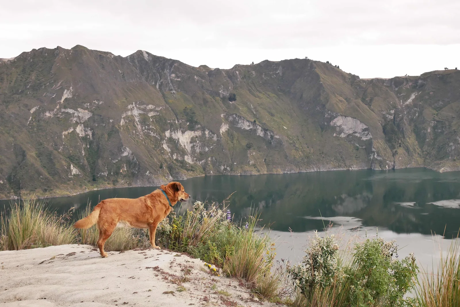
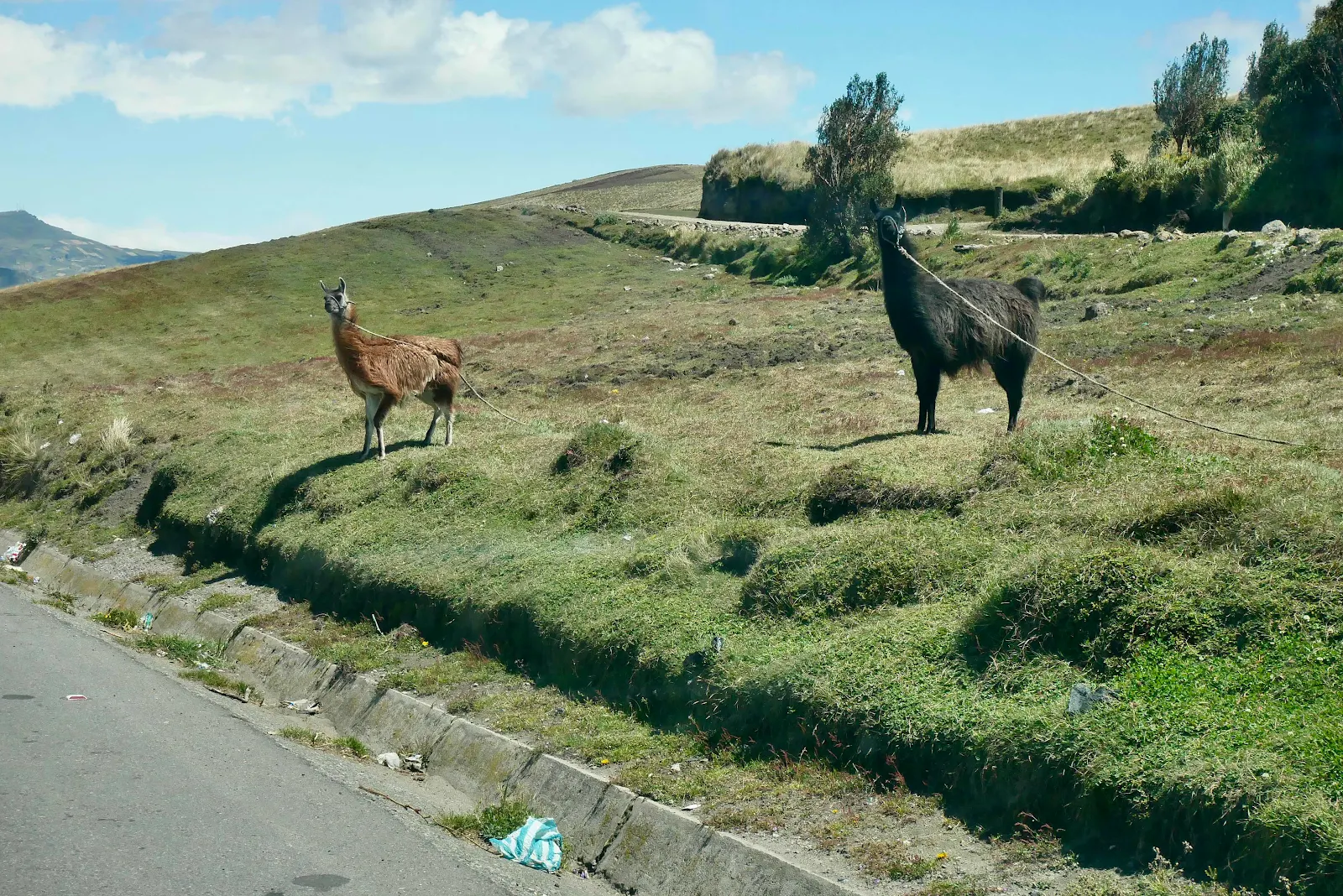
I need to look up the difference between an alpaca, a llama and a vicuña. I think these are alpacas and as you will discover animals native to South America are completely different to the native creatures found in North America.
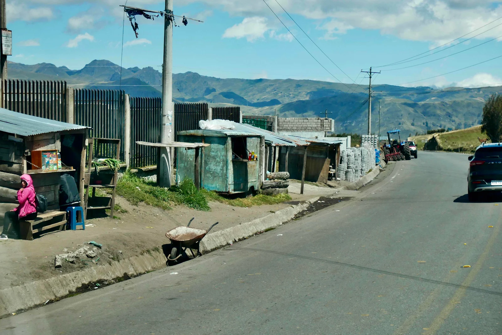
This is not a wealthy part of Ecuador and in a country that has a very high proportion of indigenous people these tribal areas are depressingly poor.
But humps in the road, oh hateful things, are everywhere.

Imagine living in a cement block hut with a tin roof at 12,500 feet. And your dog lives outside (hell no).
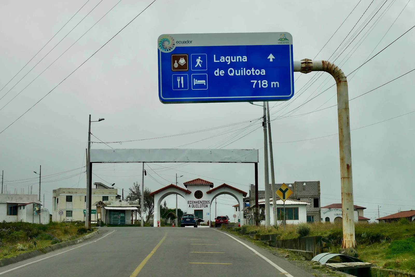
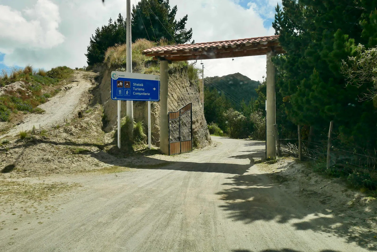
Well, here we are. Actually no. This is where we cocked everything up. We got with 700 meters of the lake, half a mile and we had to pay two dollars each to pass under the arch. That seemed bogus, but we’re strangers around here so we did as we were told.
Google maps then told us to make a right turn on a dirt road that had a no entry sign. Hmm. Up ahead we saw some women in trilby hats and bright skirts stirring themselves at a check point ready to charge us another fee apparently. Enough I said. We turned around back to the arch which had no exit lane. I waited and when it was not occupied I exited through the entry lane. Wherever we were going it wasn’t in there.

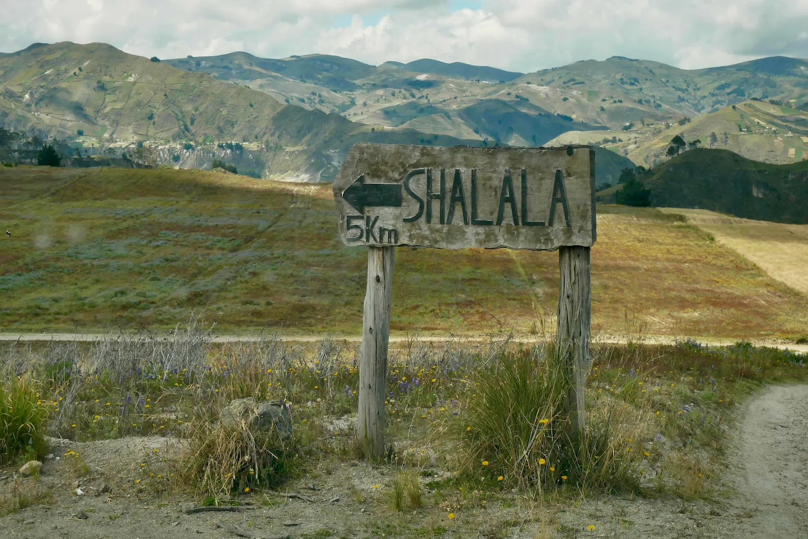
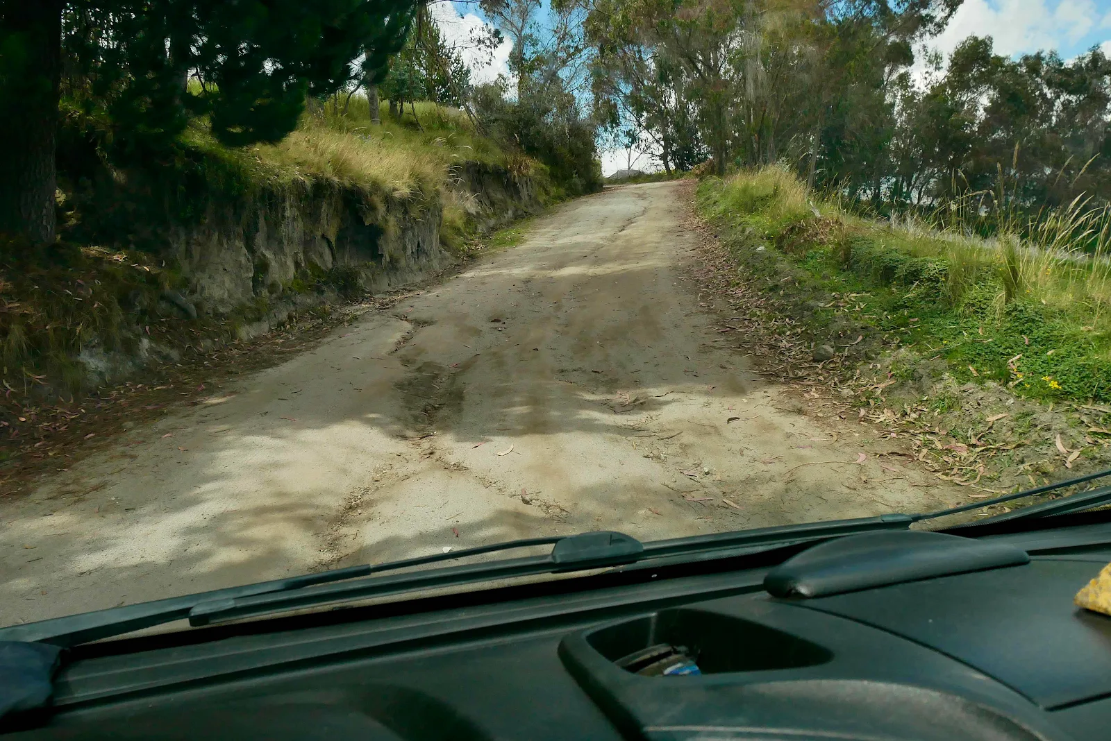
Back tracking we found a sign to Shalalà which curiously is the name of the place. I kept wanting to burst out into song which would have been ugly. Five miles of dirt ahead. I took the photo below a couple of miles in along the dirt road as 5kms equals three miles.
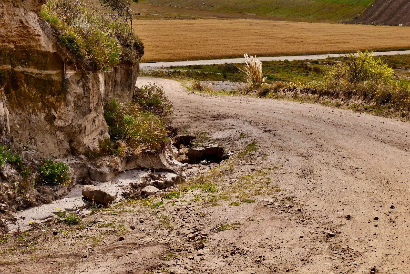
We do these kinds of roads at a speed around five miles an hour avoiding pot holes and washboard as best we can. Our van is heavy but I see lots of cavalier four wheel drivers bounding along and needing suspension work later. We’re too far from home to play silly buggers with our home, a 9400 pound Promaster.
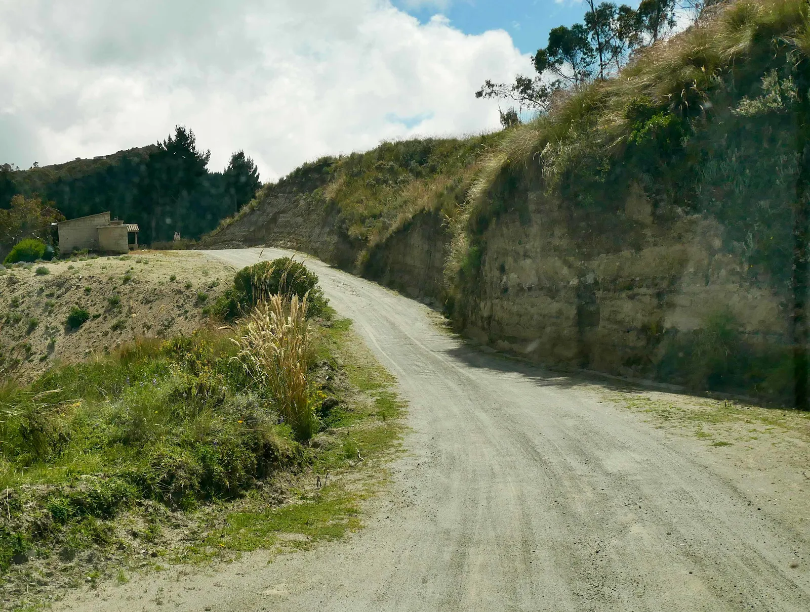
But slowly, slowly, we rumble along not having a clue as usual what we are doing. There is supposedly a place to camp by the lake at the end of this. However I have never driven uphill to get to a lake. And certainly not at 11,500 feet. How high is this mystery lake?
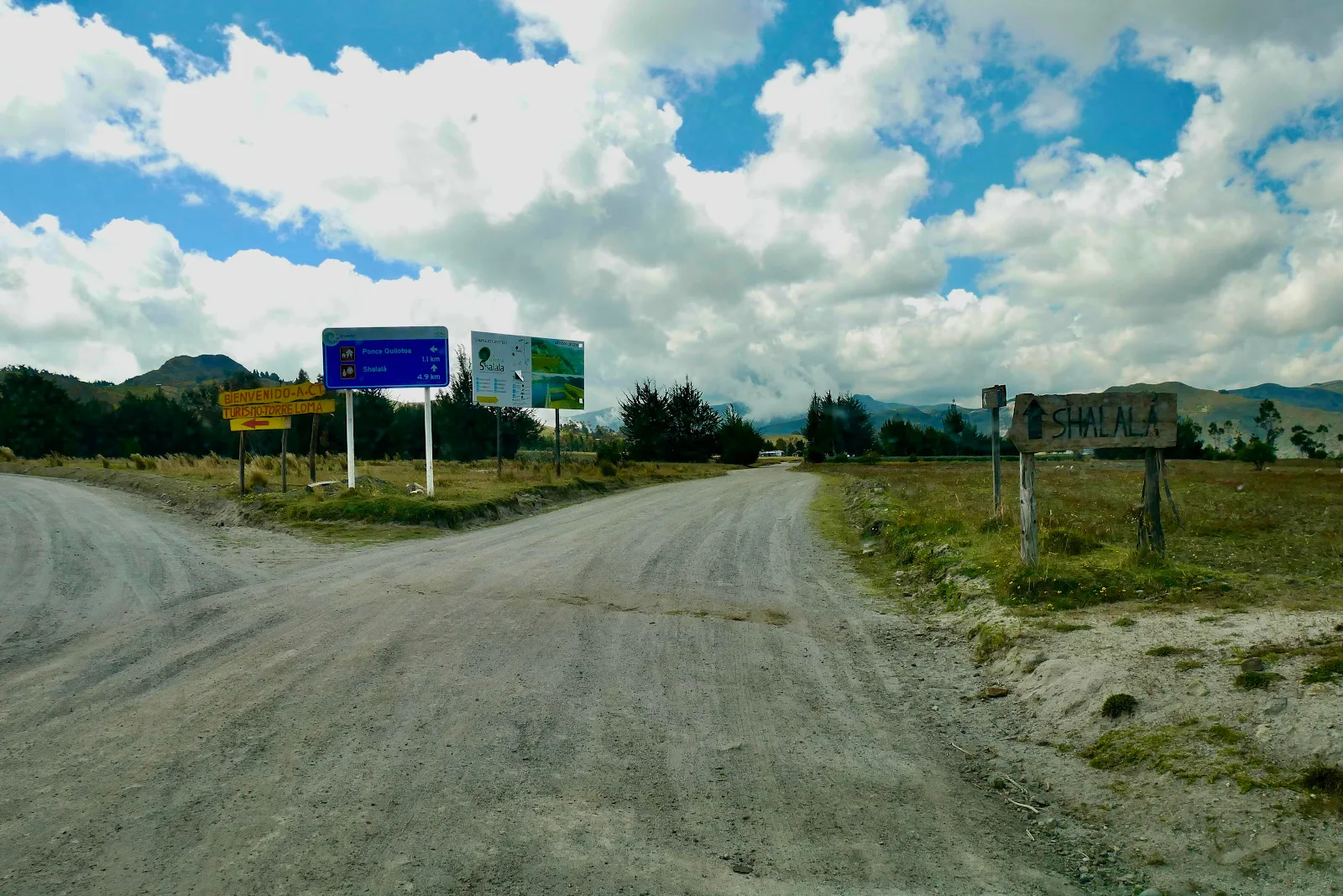
For once there were plenty of signs but absolutely no sign of a body of water. Weird.
And back we go uphill, again. Uphill to the waters edge?
Pretty steep too.
Here we are. We’re somewhere, but still no sign of water.
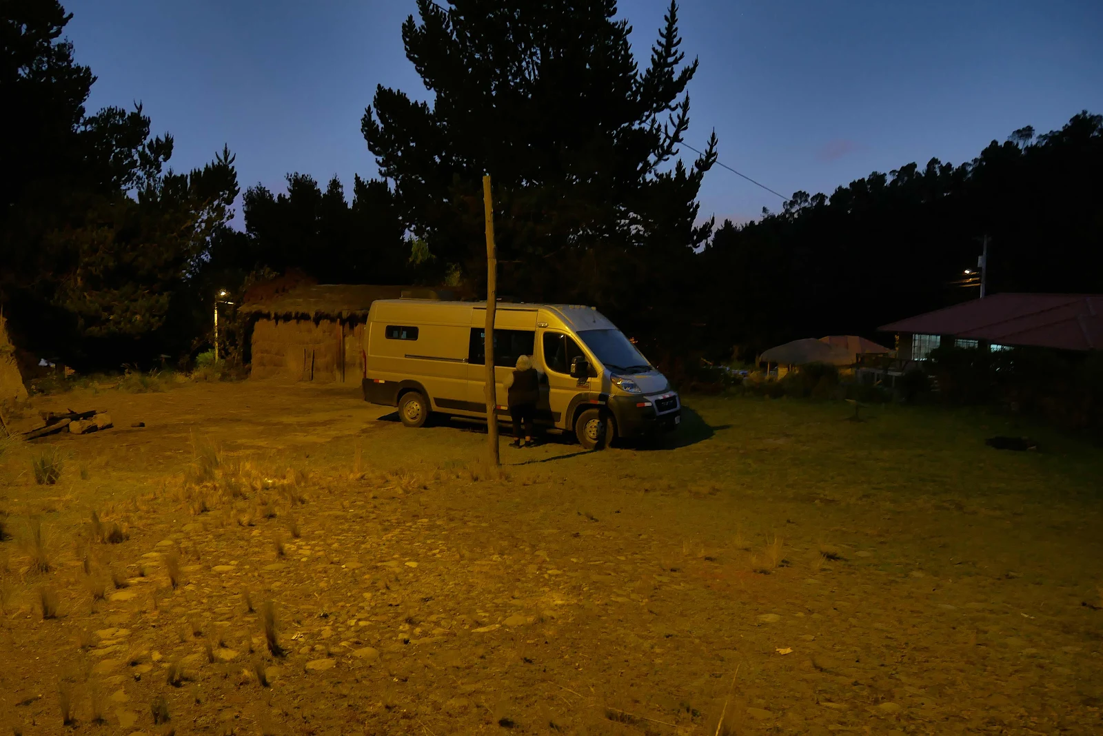
An indigenous woman in a trilby meets us and directs us to park on a sloping lot. Check the camping area she says before you try to drive that big car there. Our hearts sink.
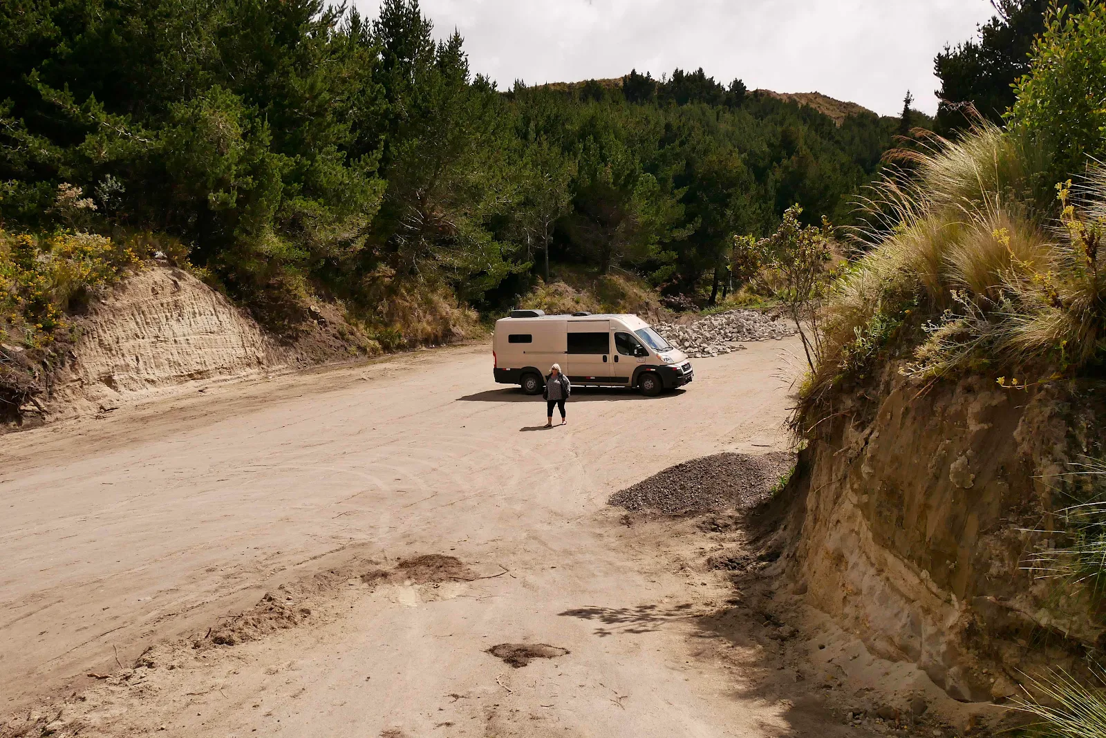
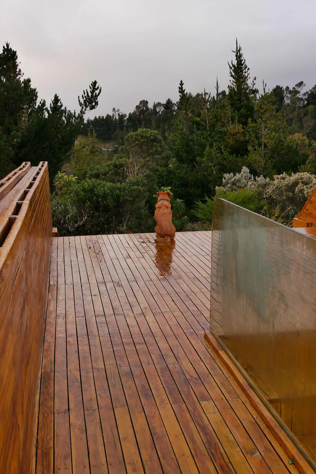
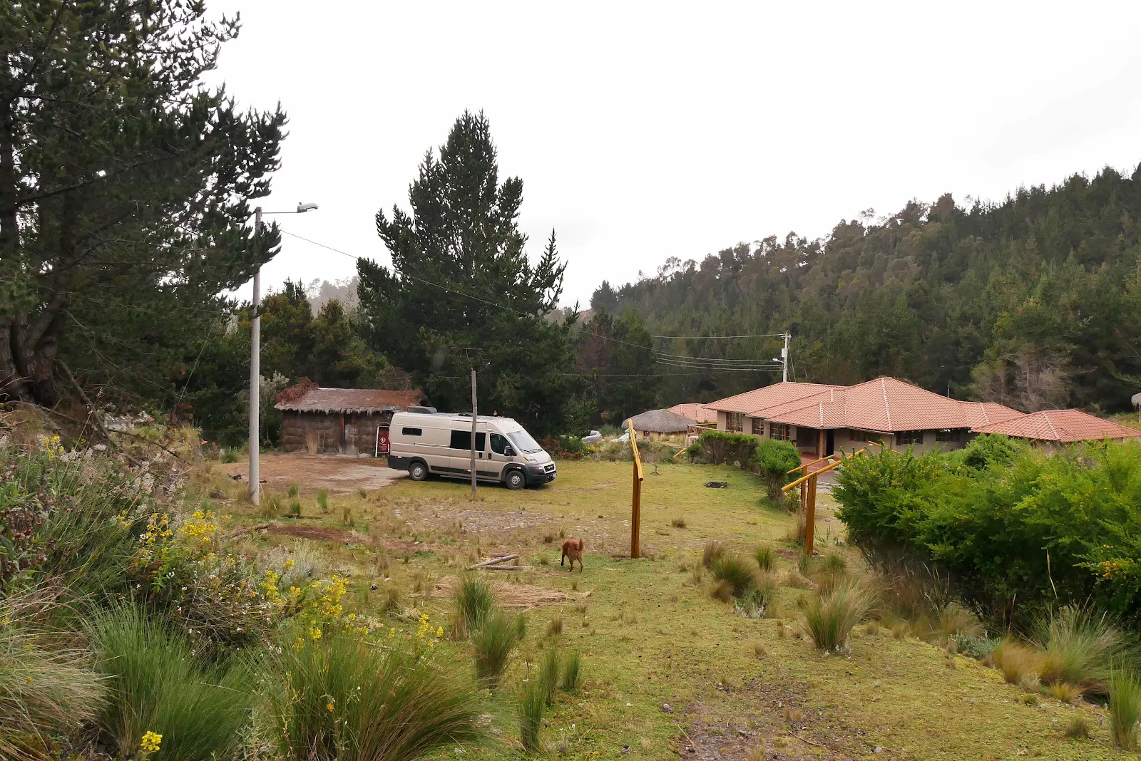
Ha! It was a bit narrow, she was right but I squeezed GANNET2 past the house without knocking any tiles off the roof. Parked finally.
I wanted to end this post with a photo of the mystery lake but we were stymied. We had dinner at the restaurant, five dollars each for delicious potato soup and a plate of the usual meat rice and salad which meant no dishwashing for us so we went for a walk.
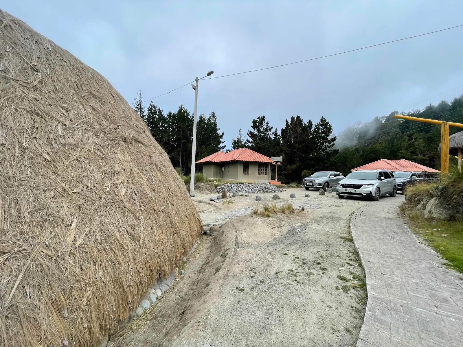
The campground is typical of what you might find in Latin America. I’m assuming the government funded construction of this tourism development project for the local tribe but there’s no attempt at maintenance.
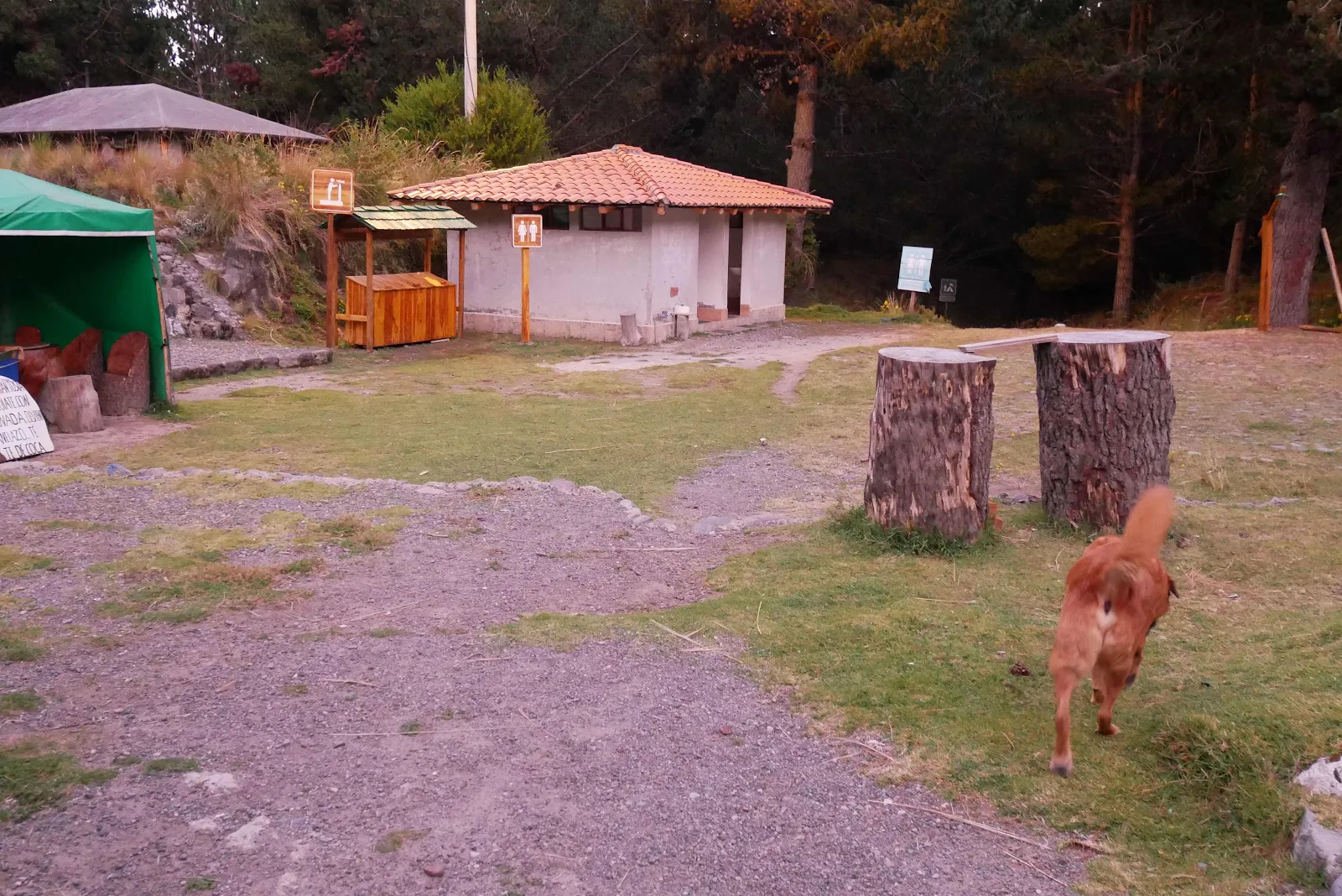
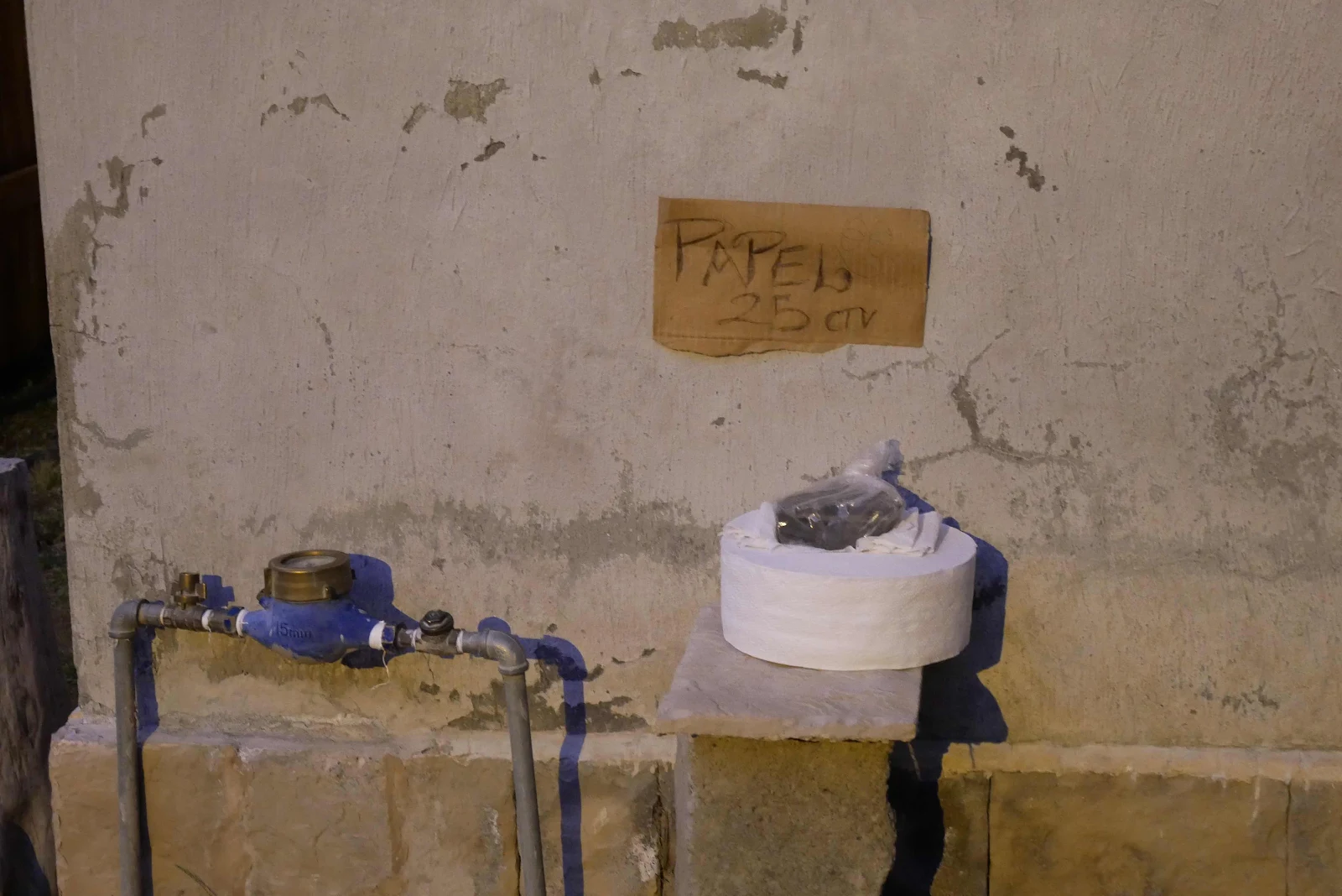
In addition there is no information. We wandered over to what appeared to be a restaurant and asked if they were doing dinner. Oh yes she said but we would never have known! The route to the lake view was hidden from obvious view and we walked past it. By the way if you want toilet paper it’s 25 cents.
We found out we’d gone wrong when we met some youngsters round a campfire. They burst into English and explained our trail finding error amid much laughter. So no lake view.
We’ll give it a go in the morning. The restaurant was still busy as we went back home.
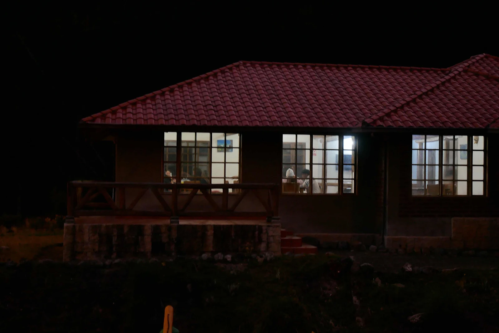
All to ourselves. Even if there is no lake yet.
—————————
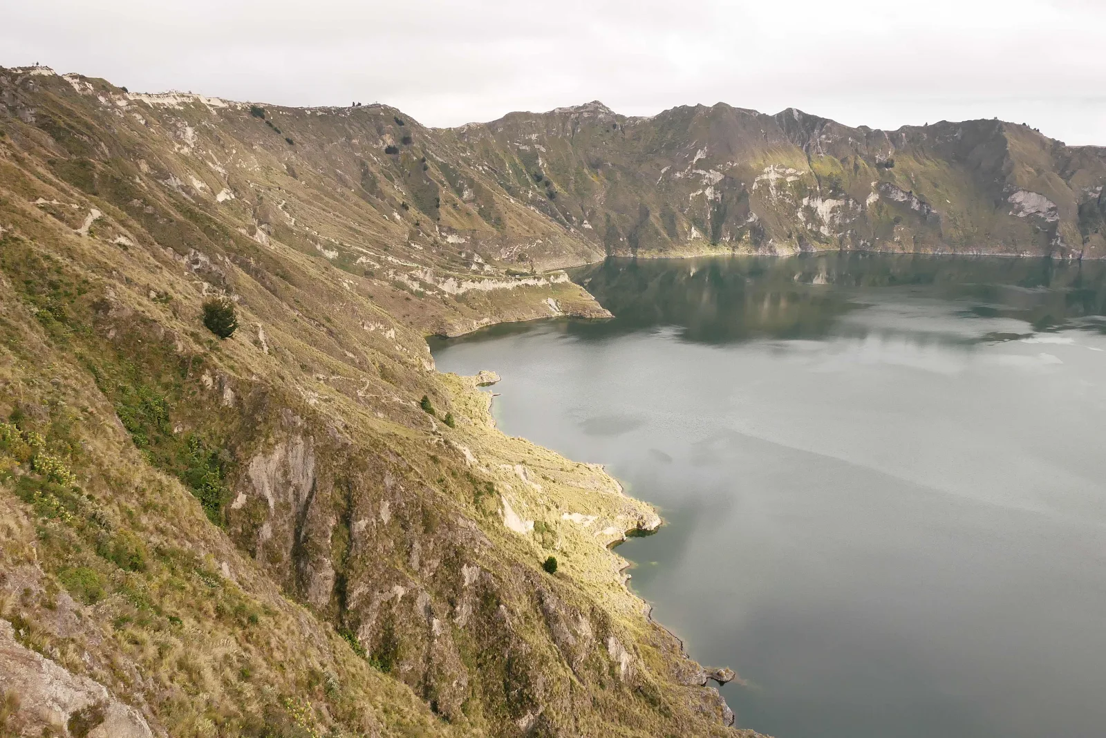
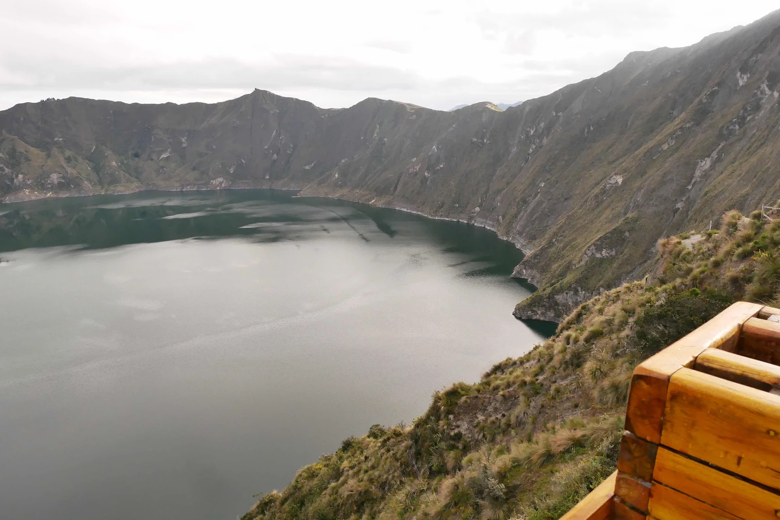
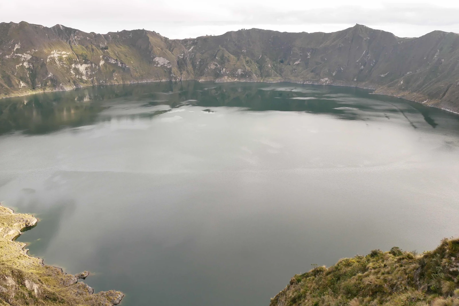
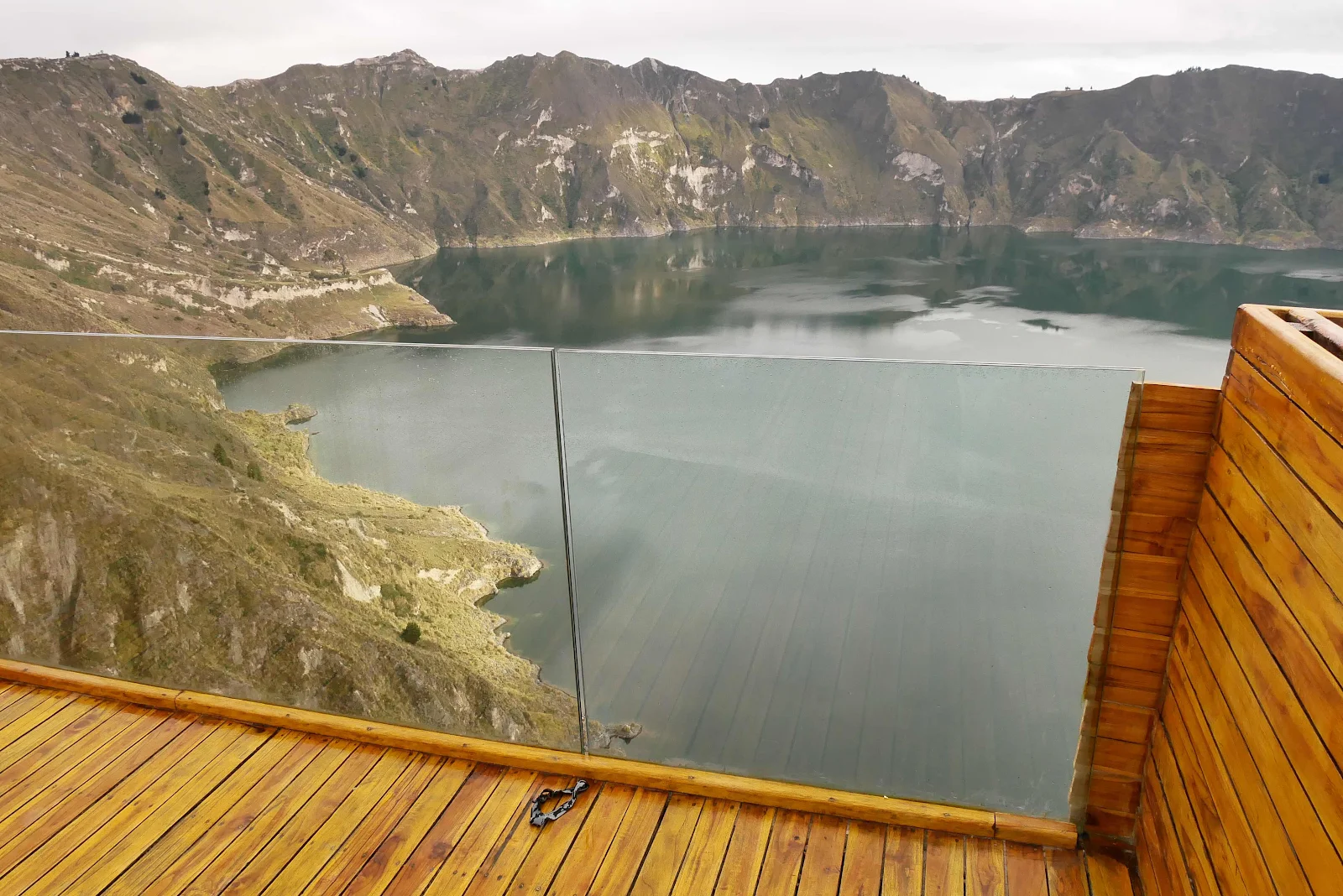
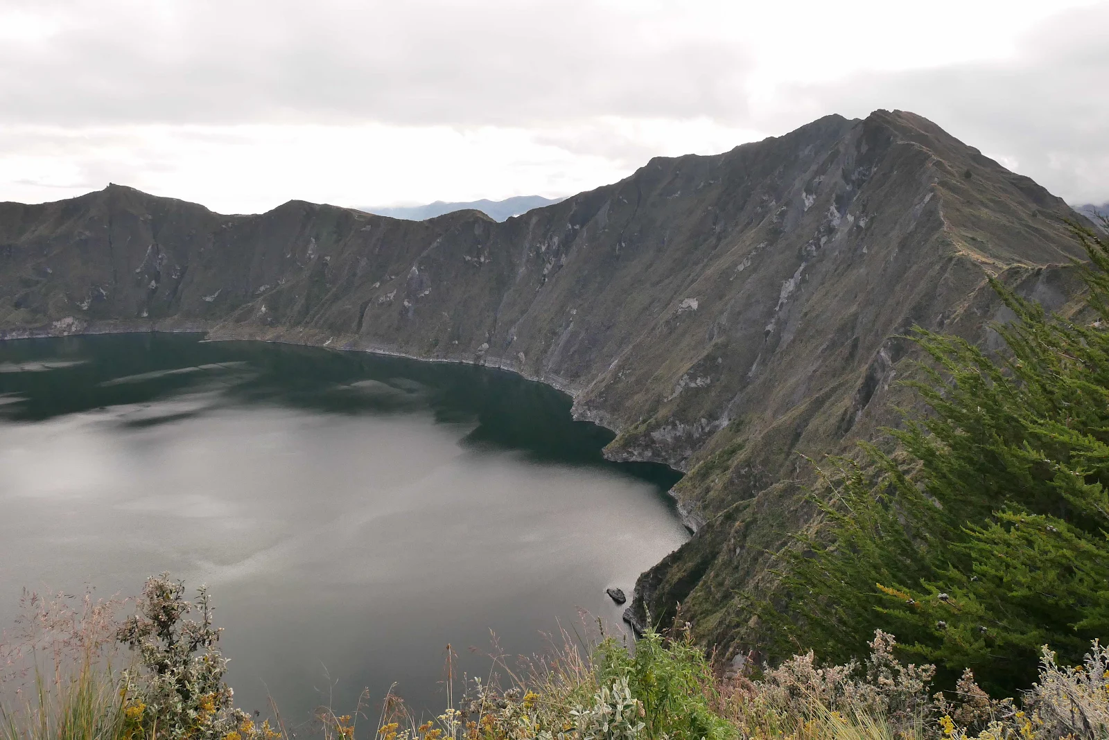
Sunday morning. I found the lake.