Monday, March 4, 2024

The Hike To Barichara


It was hotter than Hades climbing the path to the town of Barichara from the campground. Apparently the town shuts down at noon for two hours so my cunning plan put me on the bridge under the blazing sun around one o’clock, which if not the hottest hour it was close enough. 

Remarkable for one as chaotic as me, I had my walking stick, a useful memento from the hospital, a hat and I hate wearing headgear, and a thermos bottle of water which I sucked dry during the hourlong stroll through the gates of hell. I was prepared to an unusually efficient degree. 

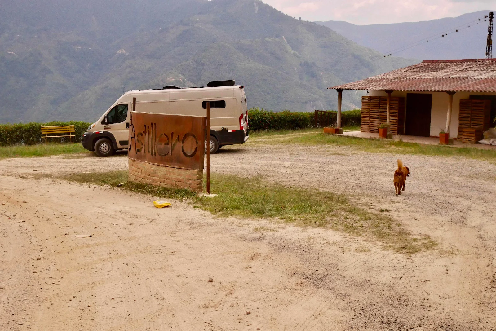
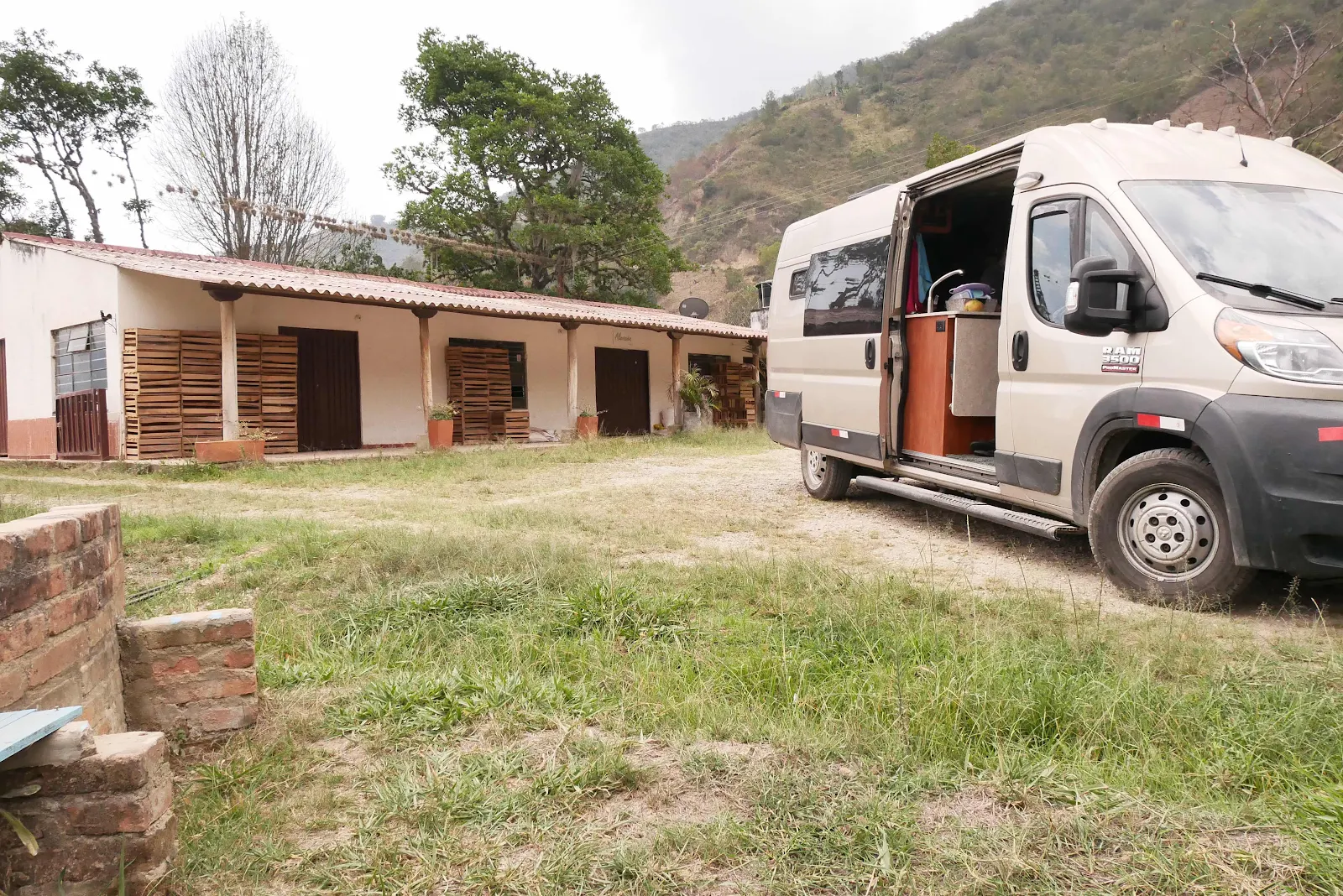
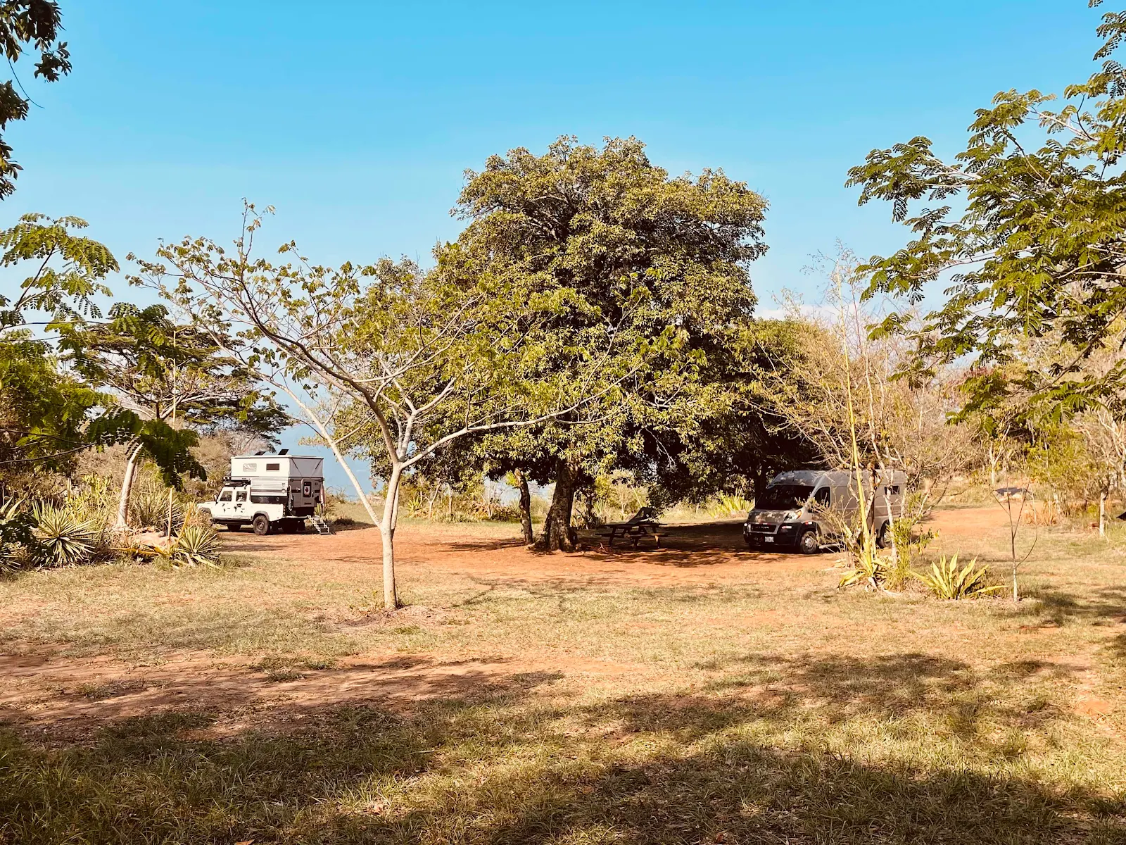
The campground is lovely, with shade, an electrical outlet, solar heated showers and splendid views. However I was on a mission as Layne wasn’t feeling well so I had to get supplies in town.

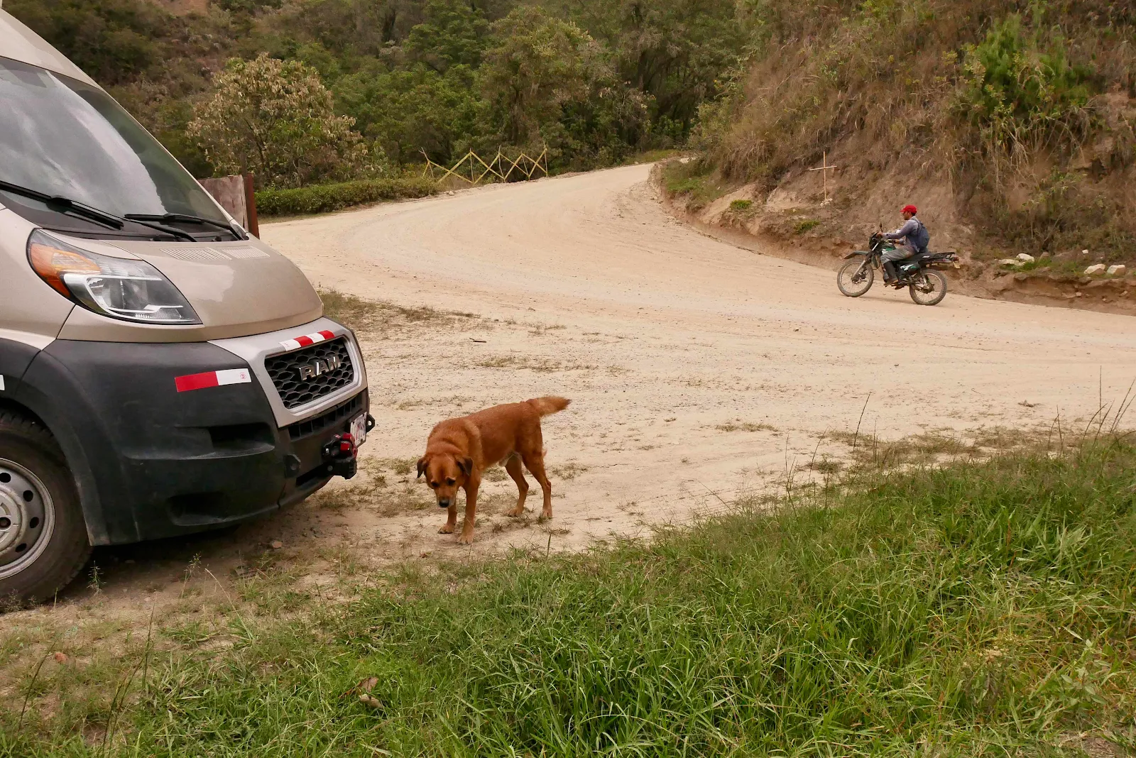
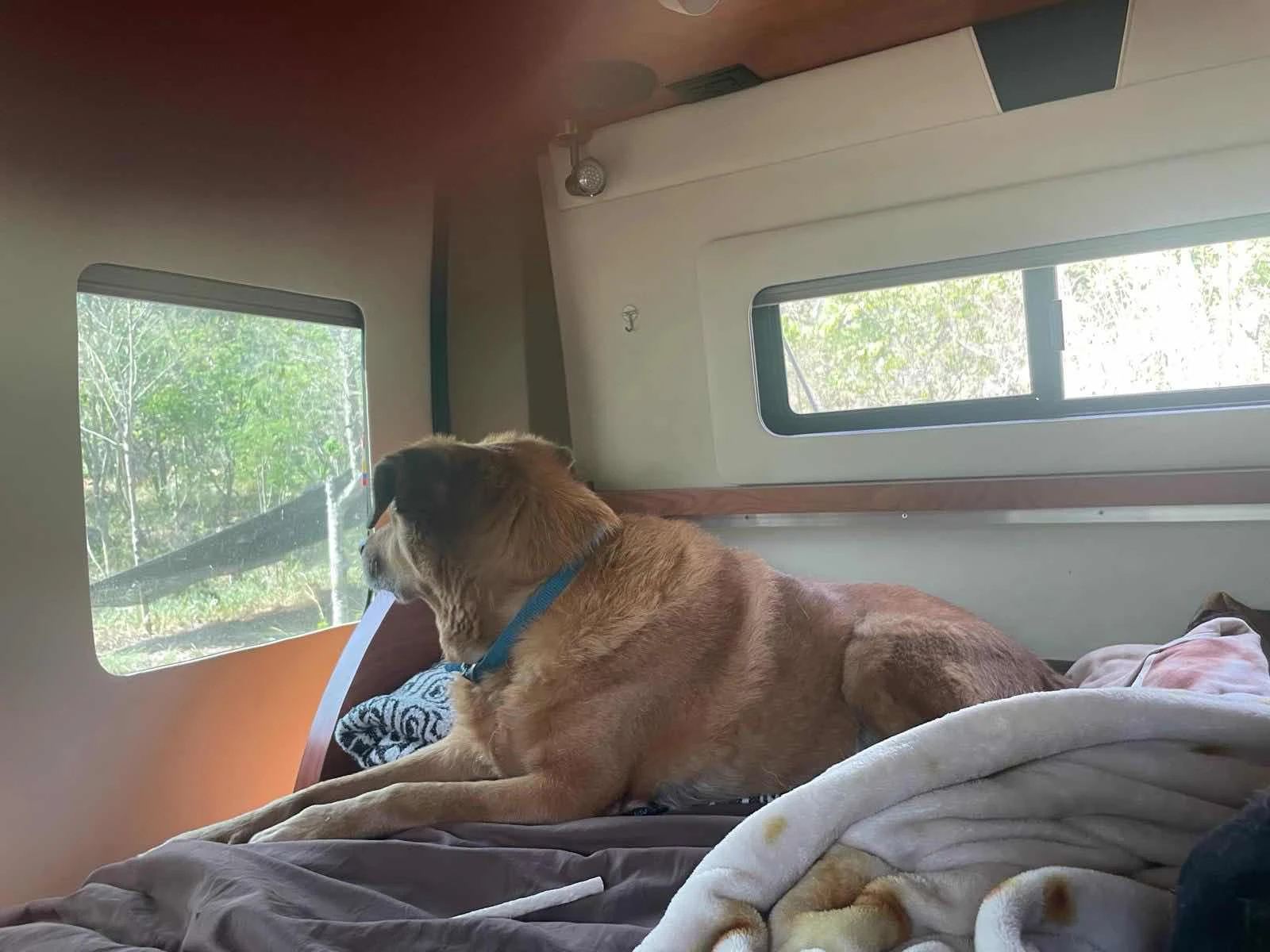
I had one false start as my camera battery was dead but luckily I found out soon enough that I could turn back. Rusty stayed with Layne as I wanted to get on with the job and not end up walking a dog that didn’t want keep going. So he stayed behind and I’m told he was on watch waiting for me to get back. I made it with his while when I staggered back three hours later and the reunion was joyful for both of us. 

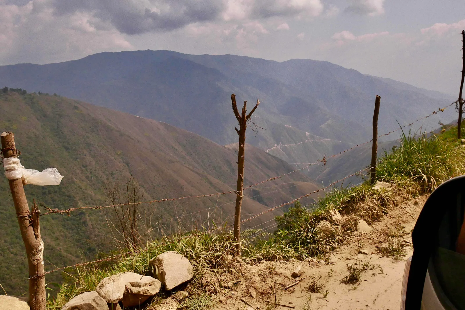
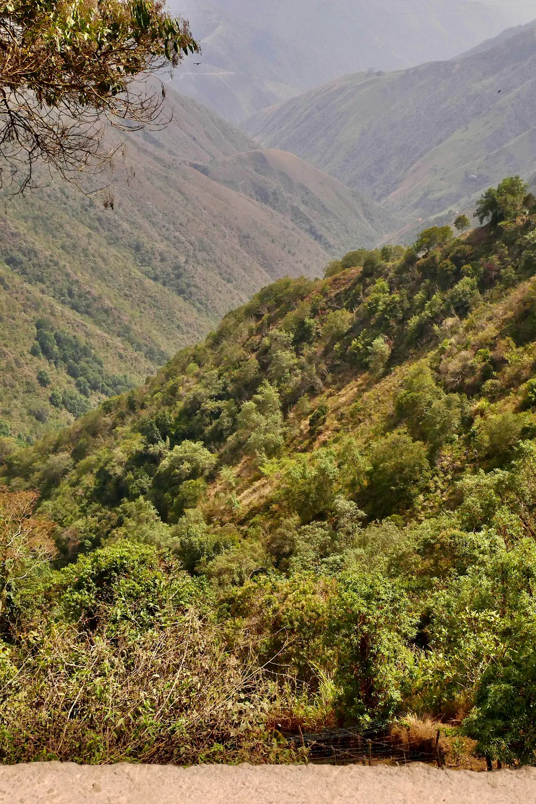
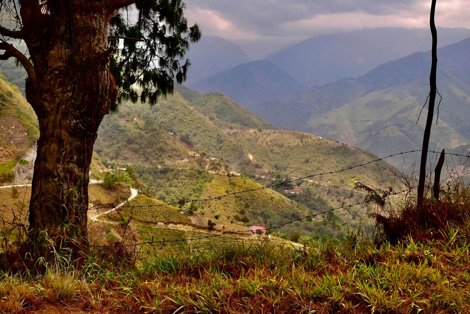
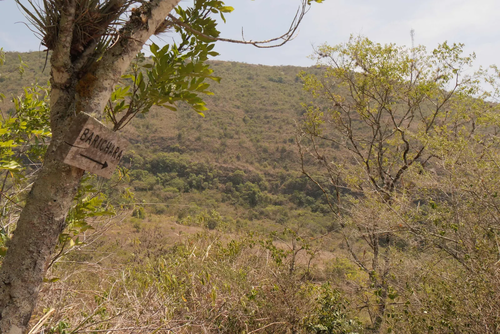
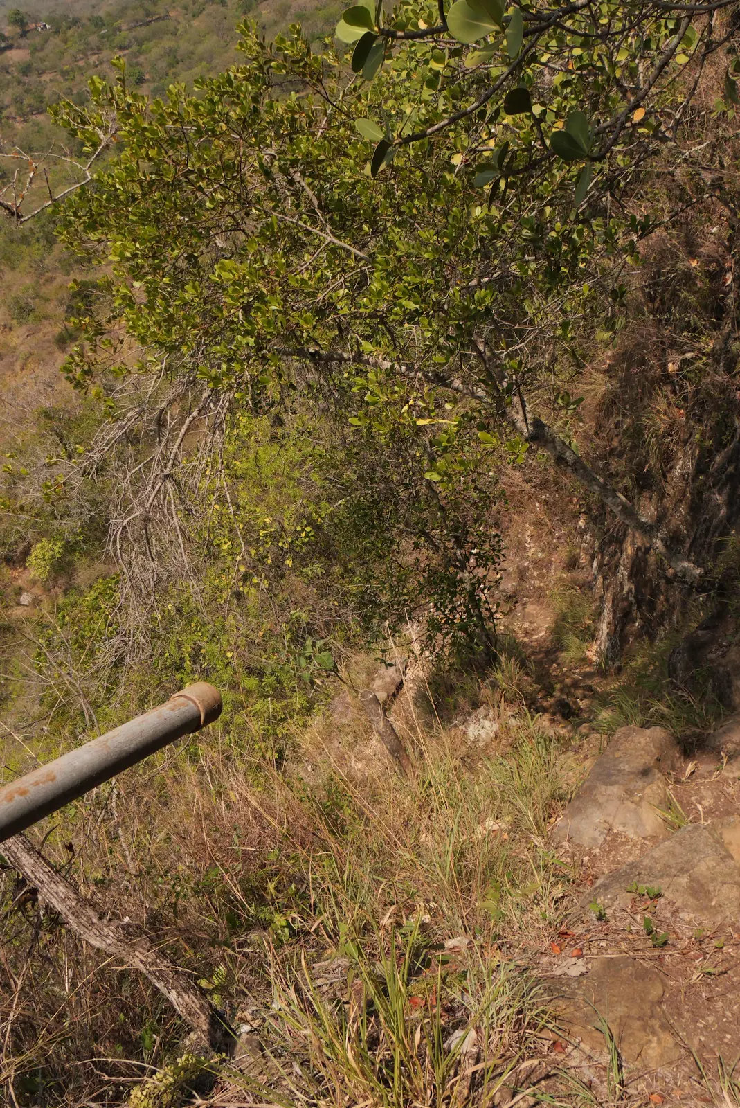
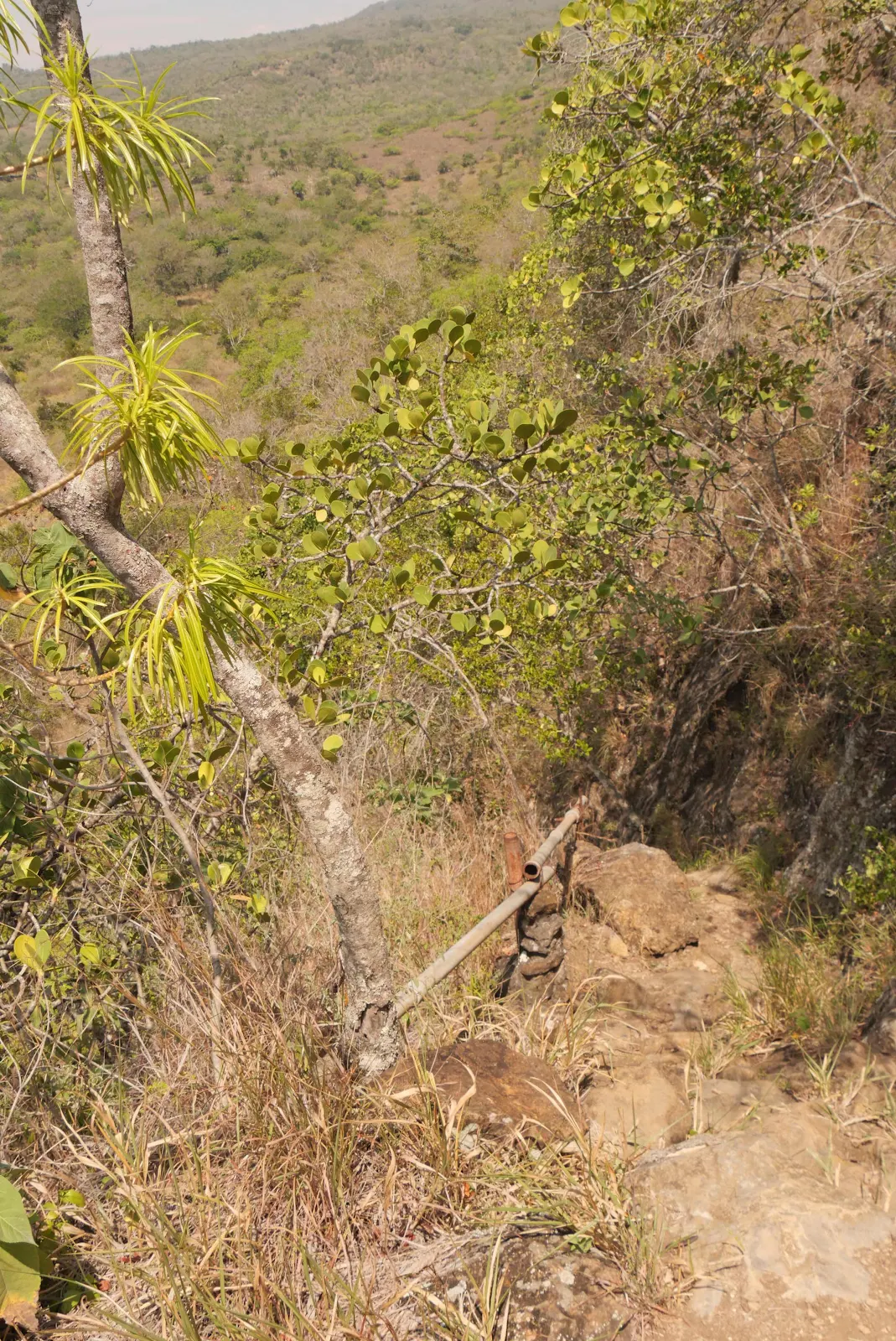
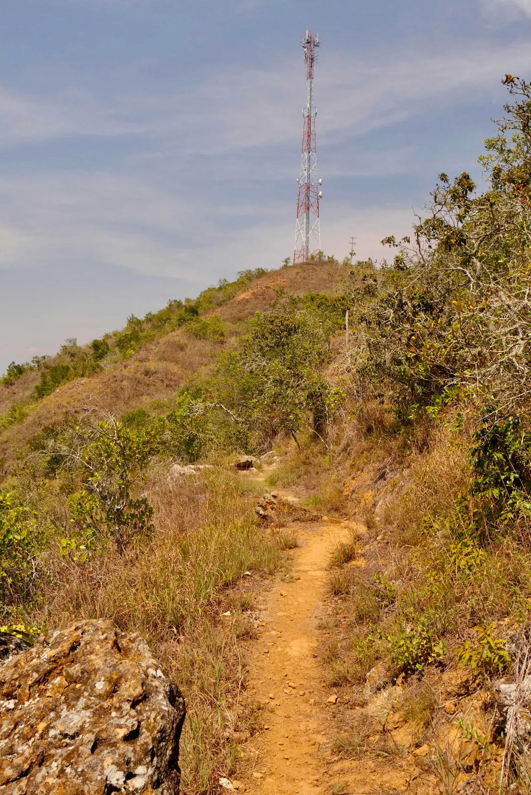
After I spotted the first sign pointing the way there were no more but I had two indicators in my favor. One was from Sue, our Canadian Land Rover fellow traveler, who said the trail psssed under the radio tower so that was the general direction. You can barely see it in the hazy light through the bushes on the right. 

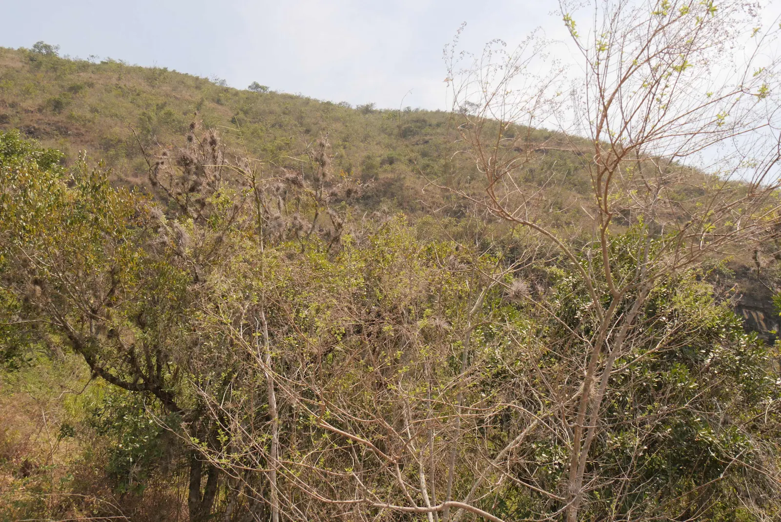
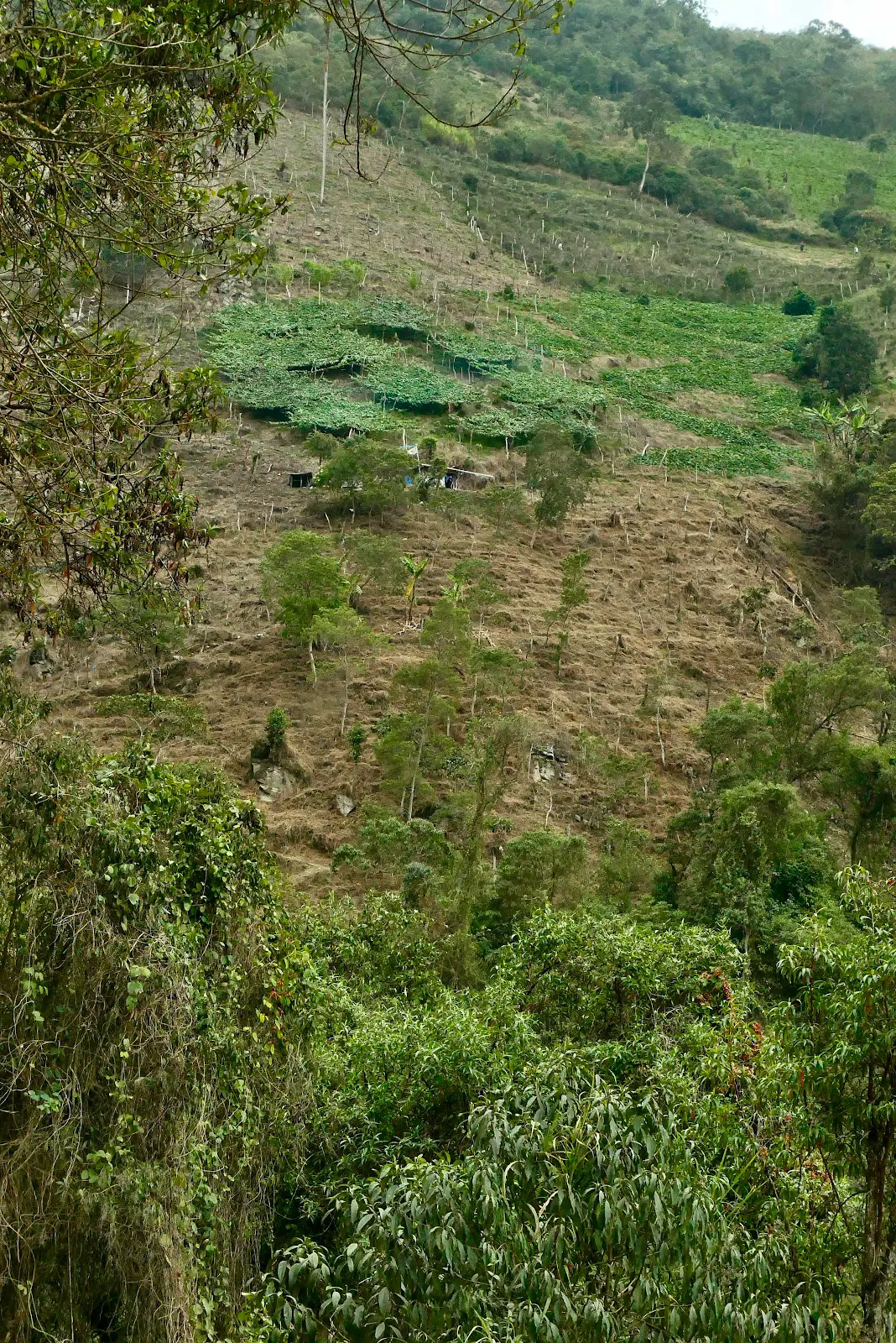
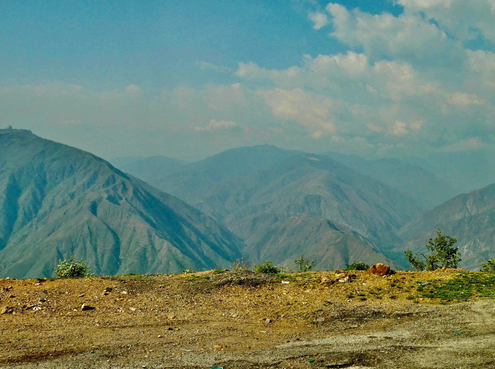
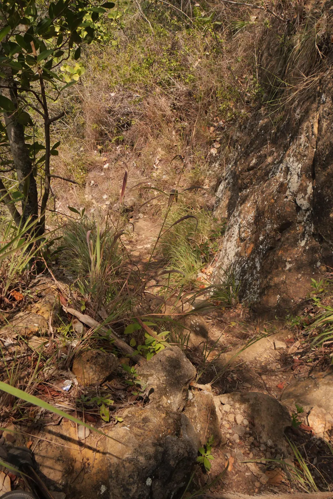
And then to make it easier on myself I followed my usual practice of walking the most well used trail. Anyway I snaked across the unkempt fields under the blazing sun looking up rather apprehensively at the ridge riding vertically above me. 

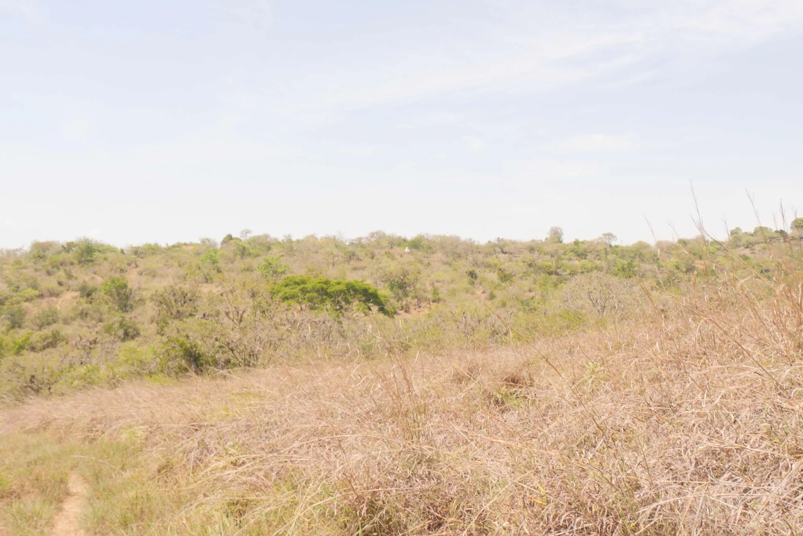
The trail meandered in circles it seemed like but I figured it must go somewhere. My main preoccupation was finding some ginger ale and some toilet paper for my ailing wife who spent the night projectile vomiting (I’m told, I slept through the whole drama…) and was waiting for the hero’s return under the van air conditioner. I didn’t want to walk in a big circle and miss the town entirely. 

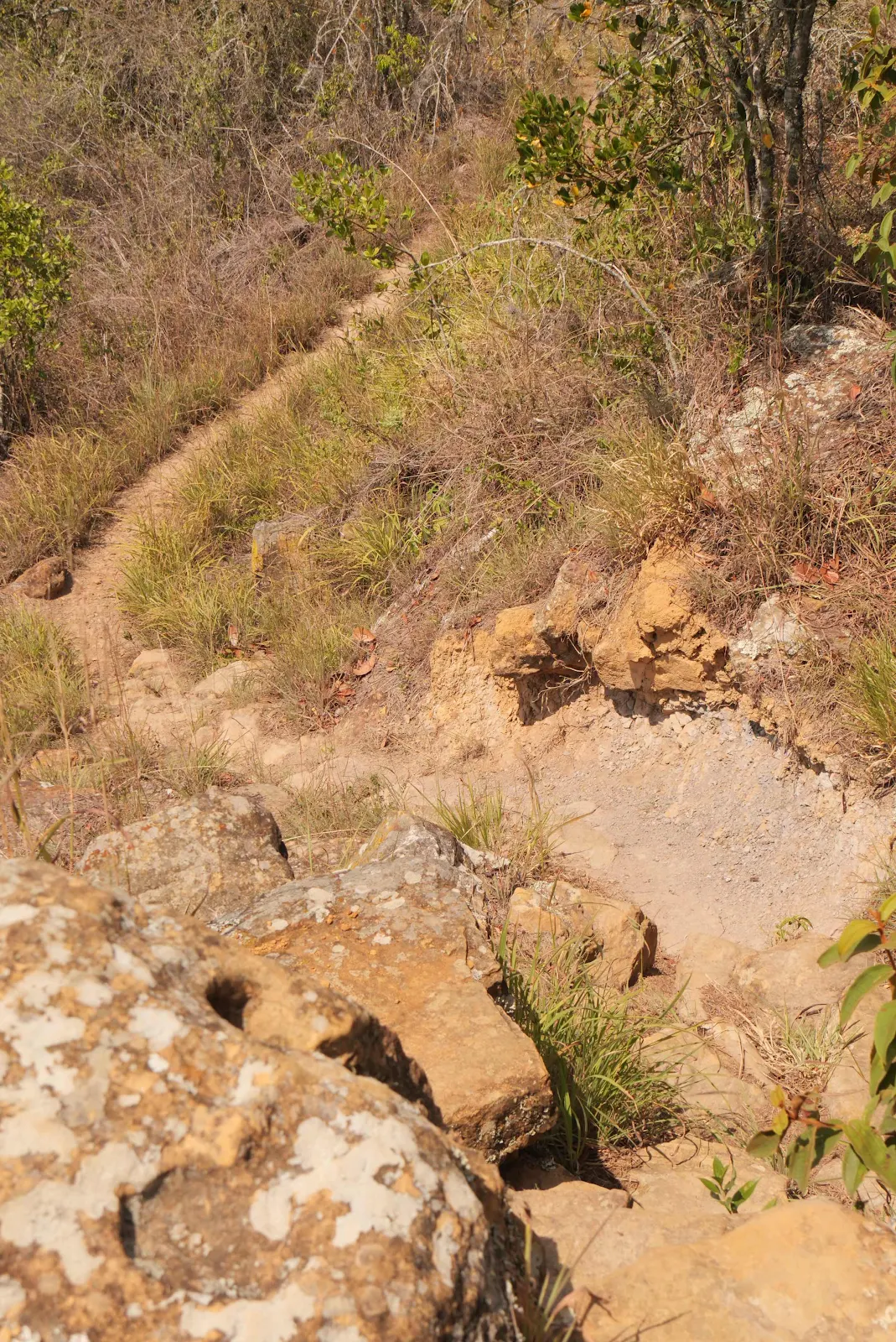
I clambered over dry stone walls and I will admit to being extra careful. I really don’t want a twisted ankle or a broken nose to impede a journey which requires lots of perseverance as it is. When I was younger I never worried too much about hurting myself but I guess aging really does have an effect on some of us.  

The walk wasn’t far and an early start would make temperatures much more comfortable. We’re camping at 4200 feet and it’s cool enough to require a blanket to sleep  but by the middle of the day it’s hot and dry. 

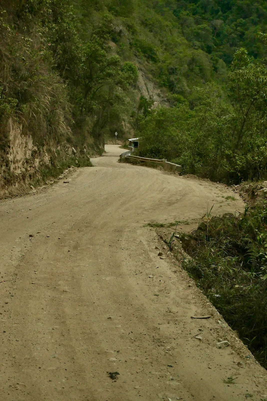
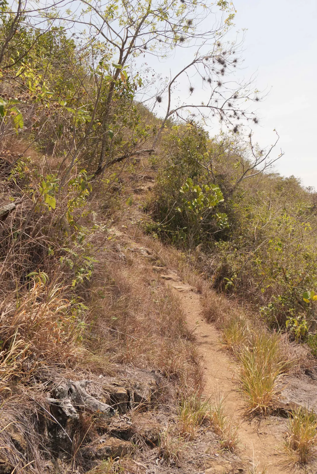
I plodded along wondering how I was going to climb the apparently impenetrable ridge in front of me but I was in the correct trail and my plodding took me uphill. 

Hugh and Due stroll to town in forty minutes being lean mean Canadian hikers. It took me an hour to get to the top and ten more minutes to amble to the outskirts of town. 

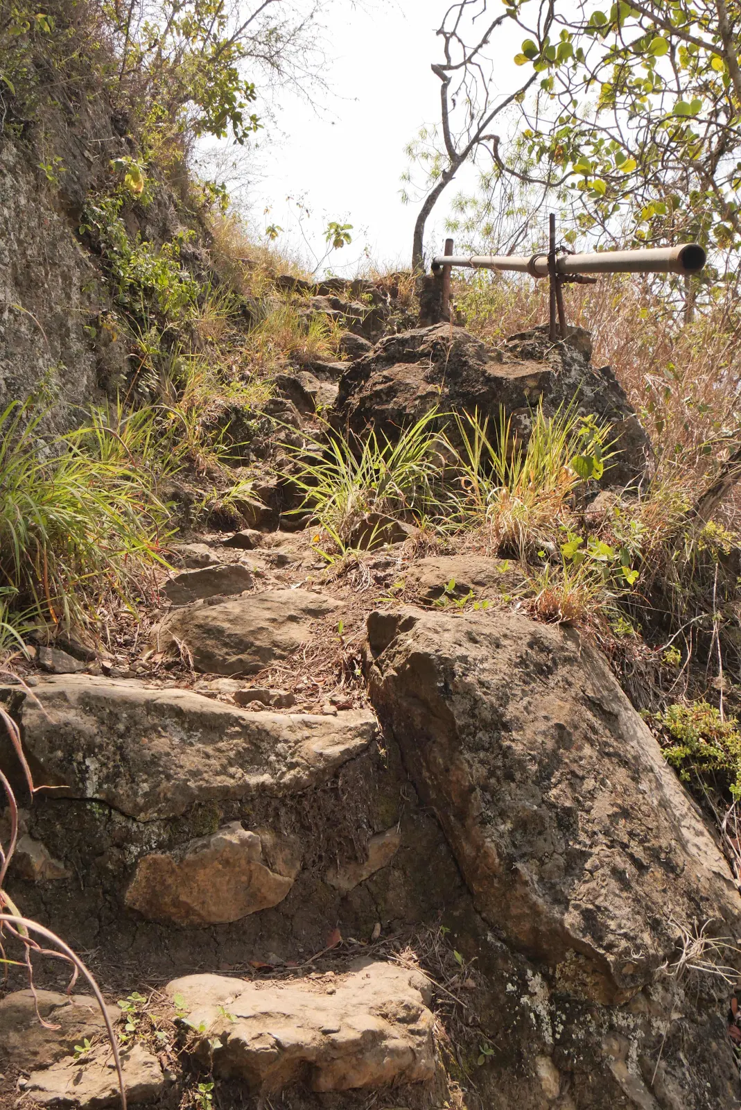
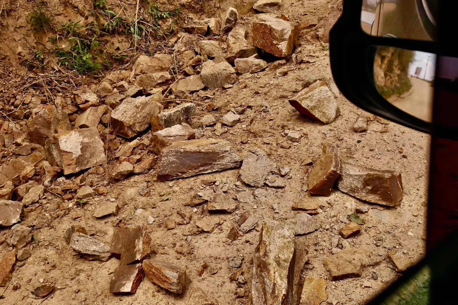
But Hugh did say there was one point where the trail goes a bit vertical and you scramble rock to rock. I guess I found it. 

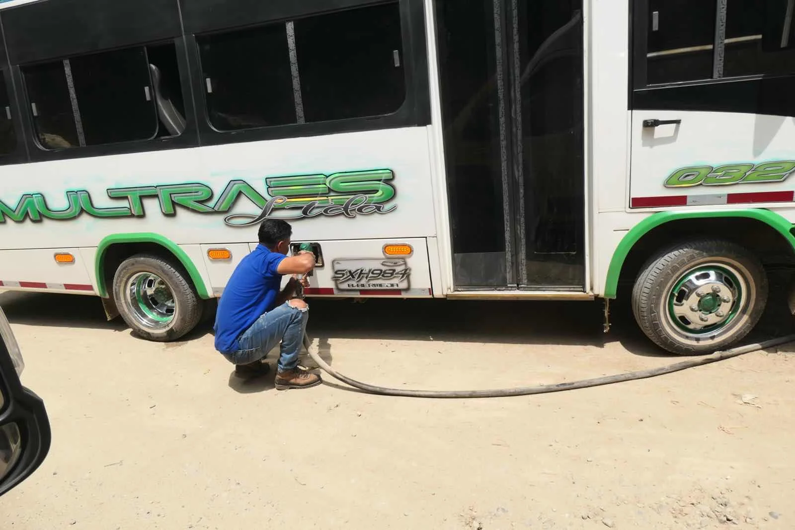
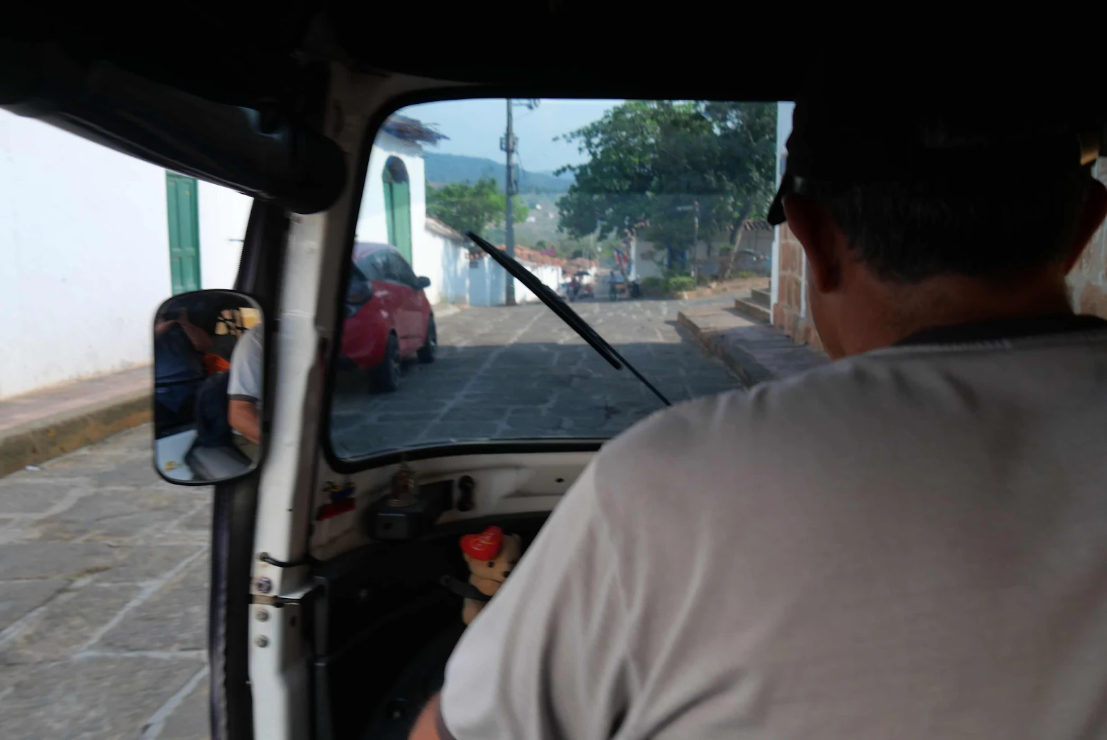
Walking back to the campground especially with a loaded backpack seemed a poor use of my time so it was here I confirmed in my head I was riding a tuk tuk back and for three dollars it seemed a bargain. 

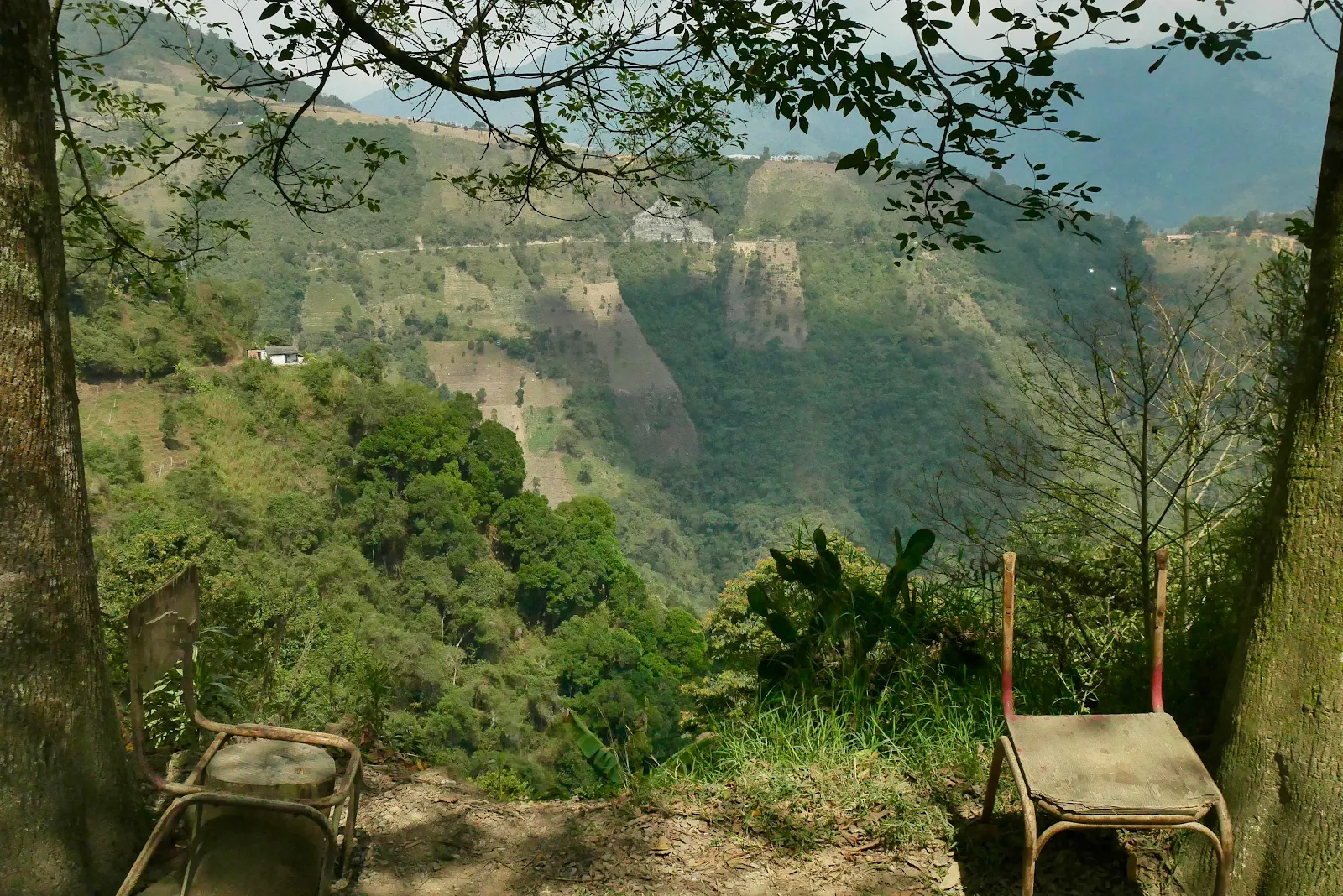
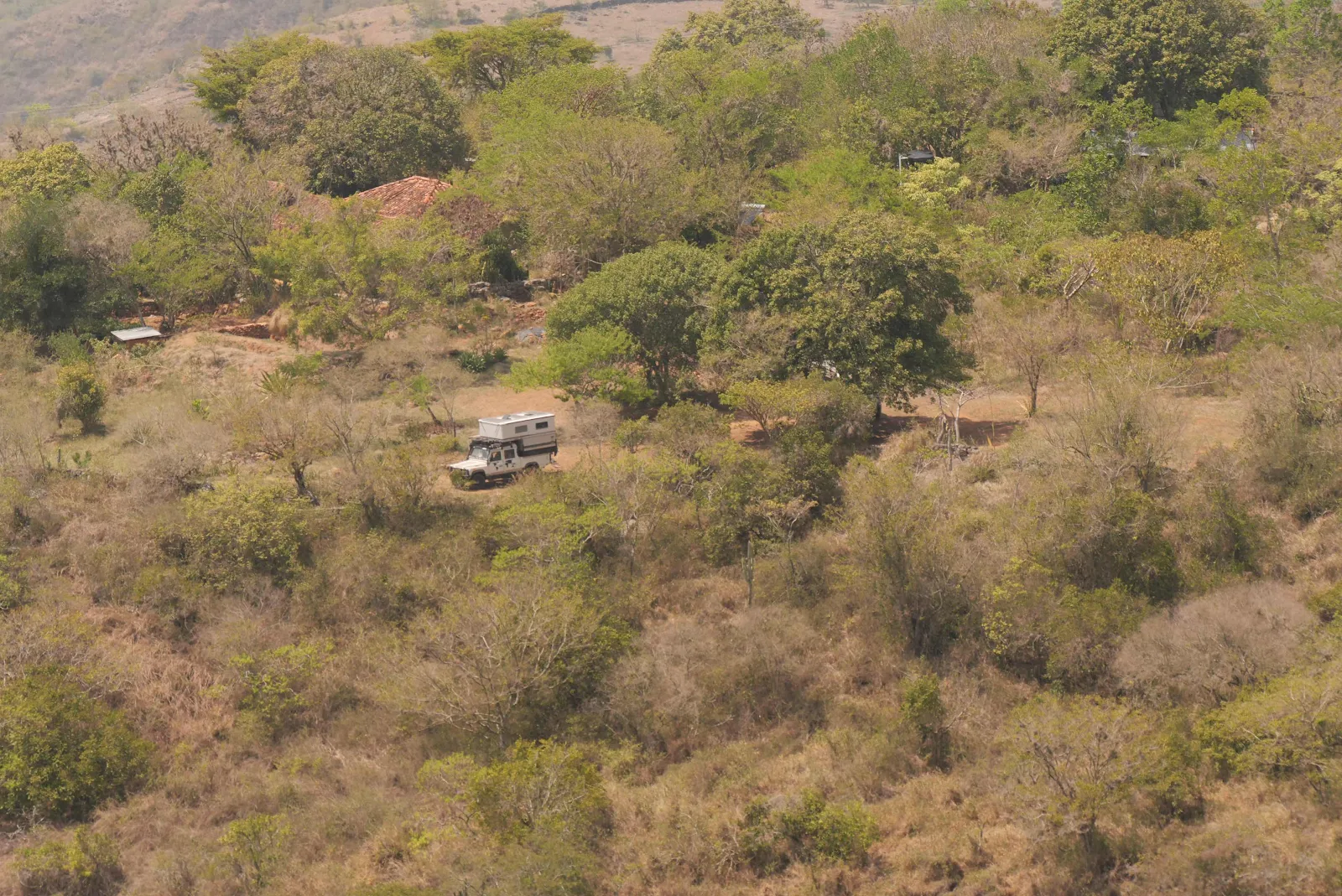
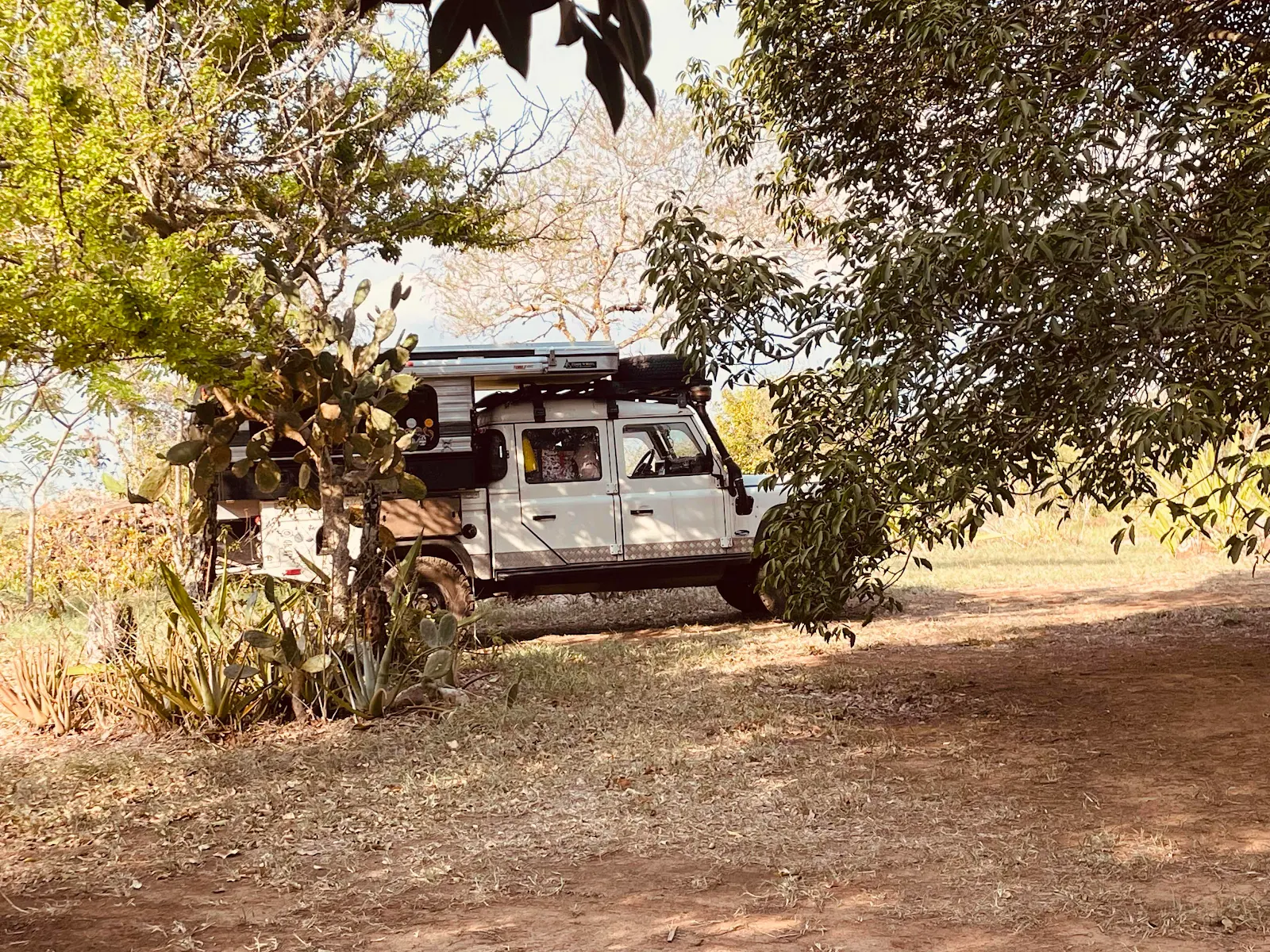
Hugh and Sue’s Land Rover is parked in the sun for a sunset view, while we were barely visible through the branches of the second tree to their right. 

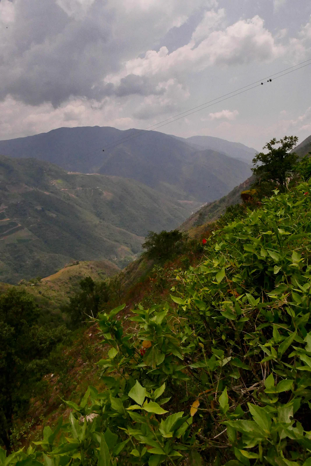
Up I went and around the shoulder never quite reaching the radio tower at the top of the hill. 

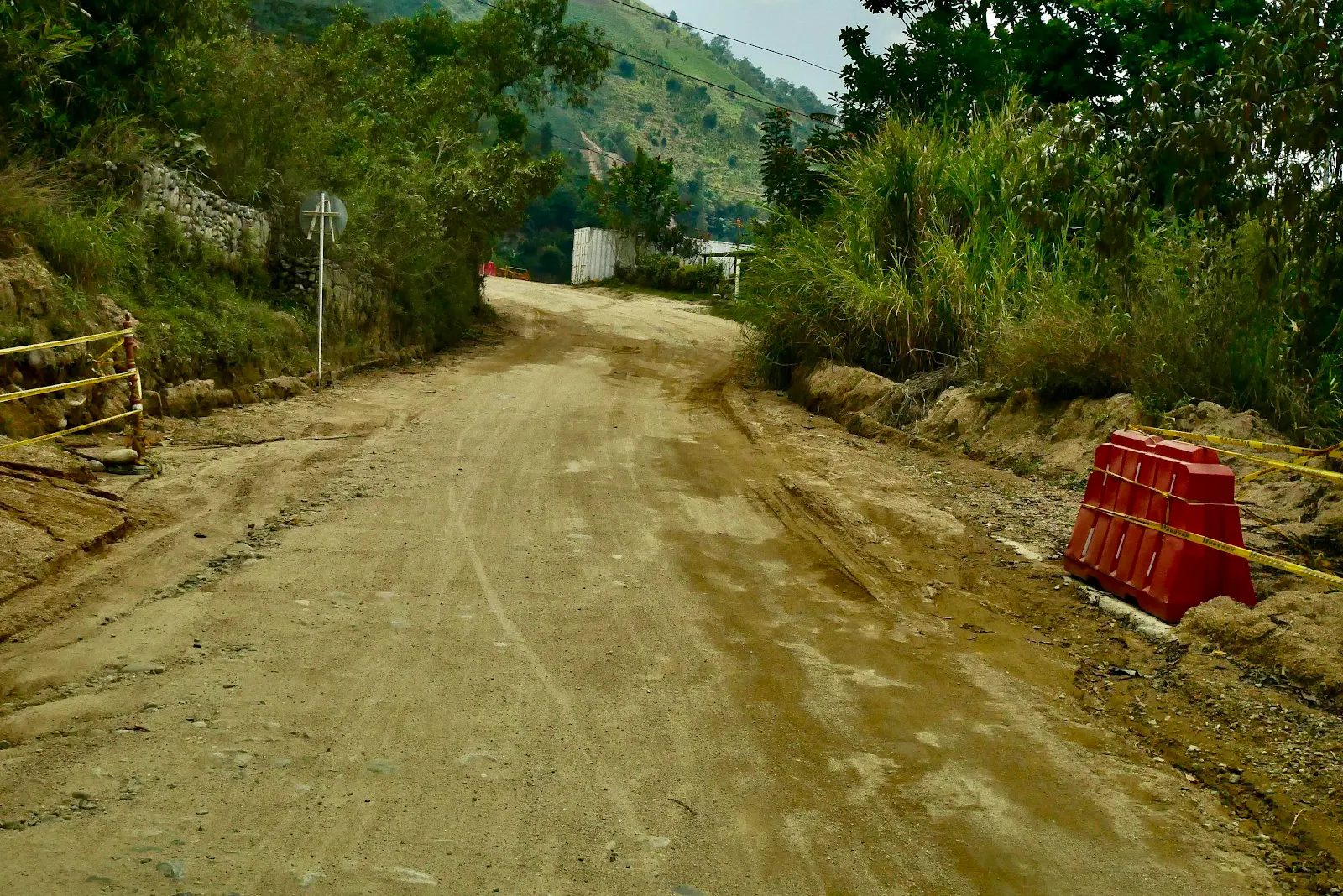
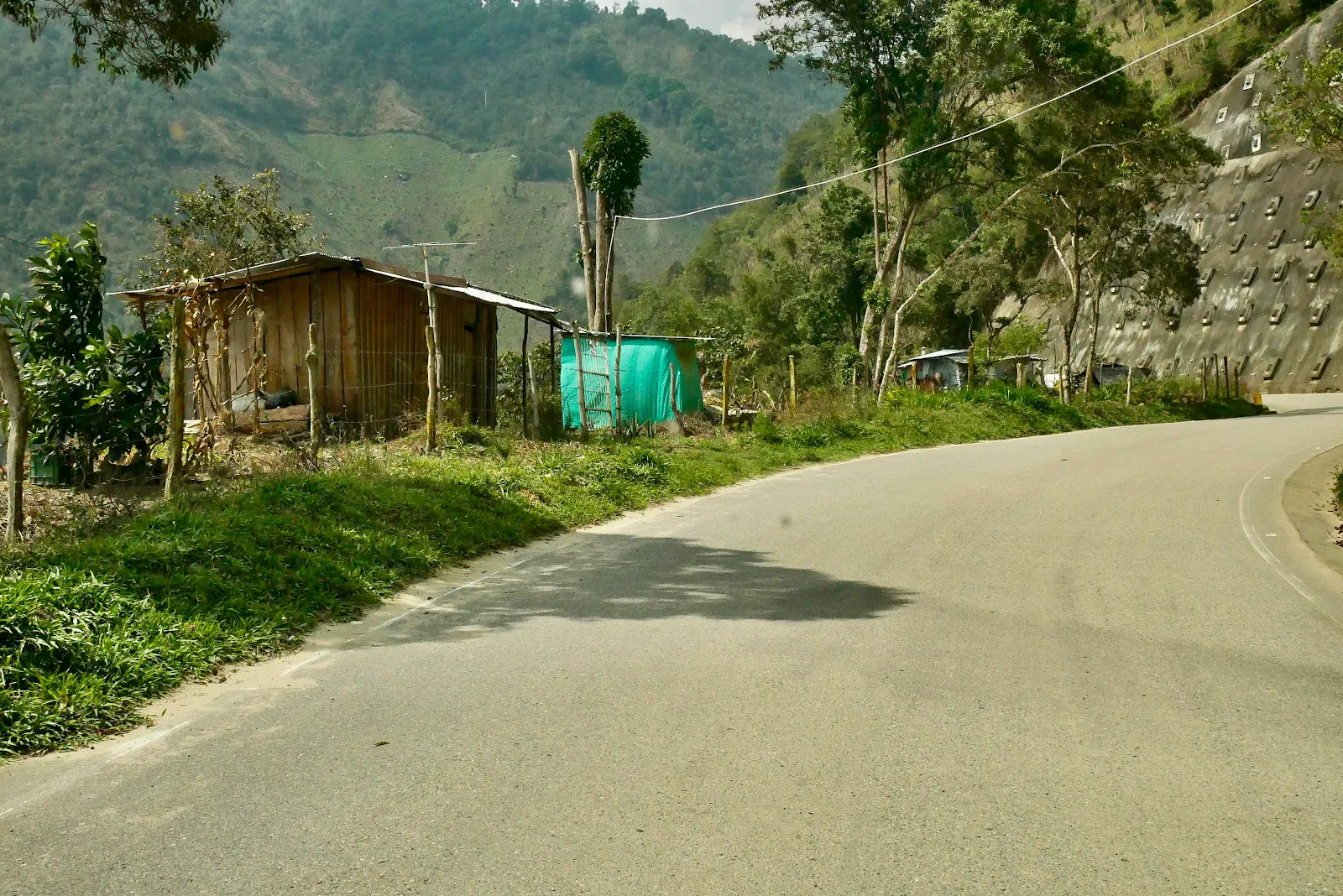
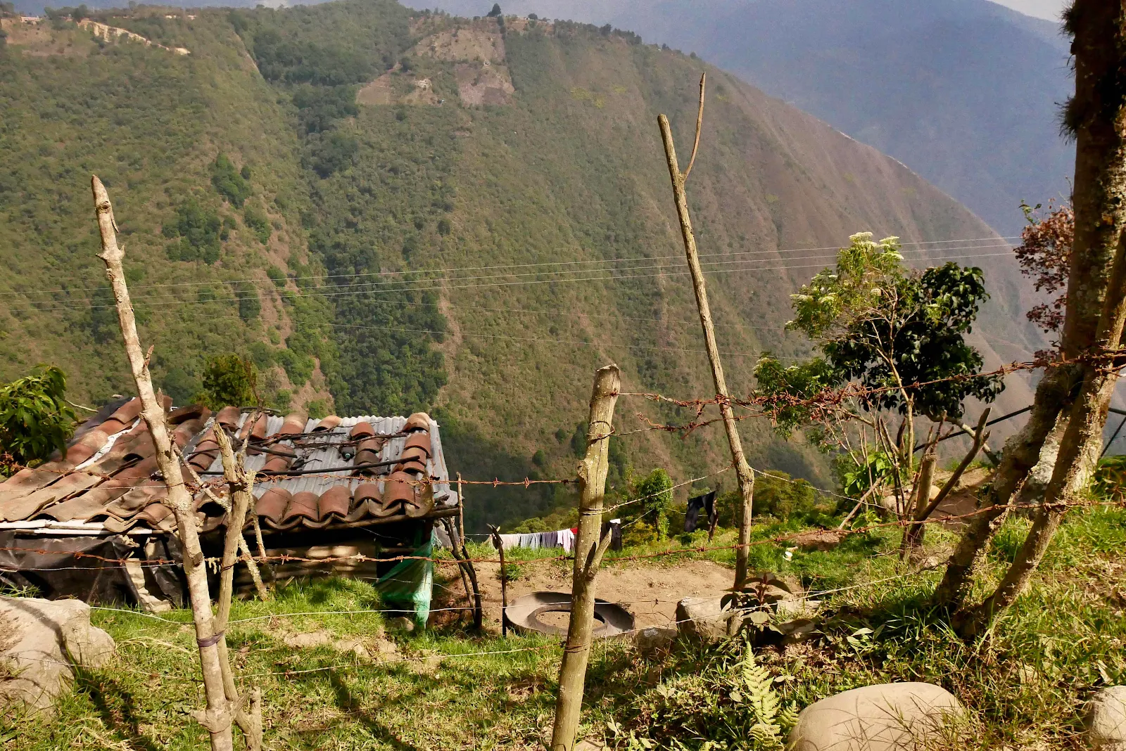
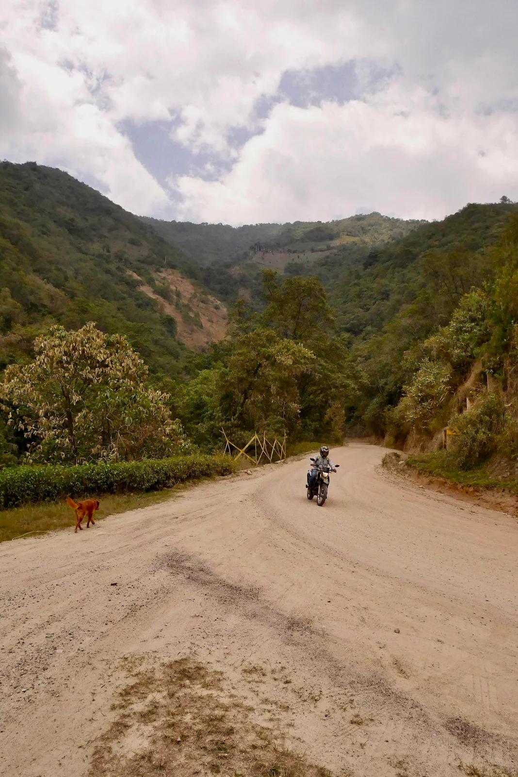
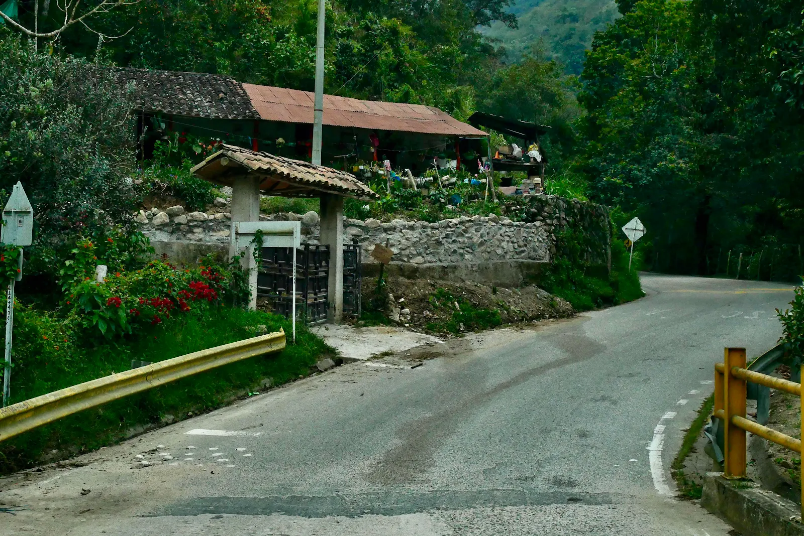
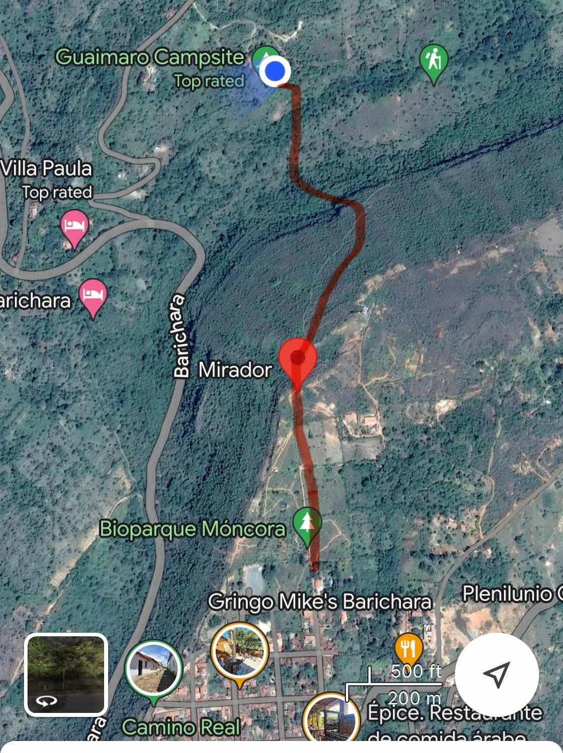
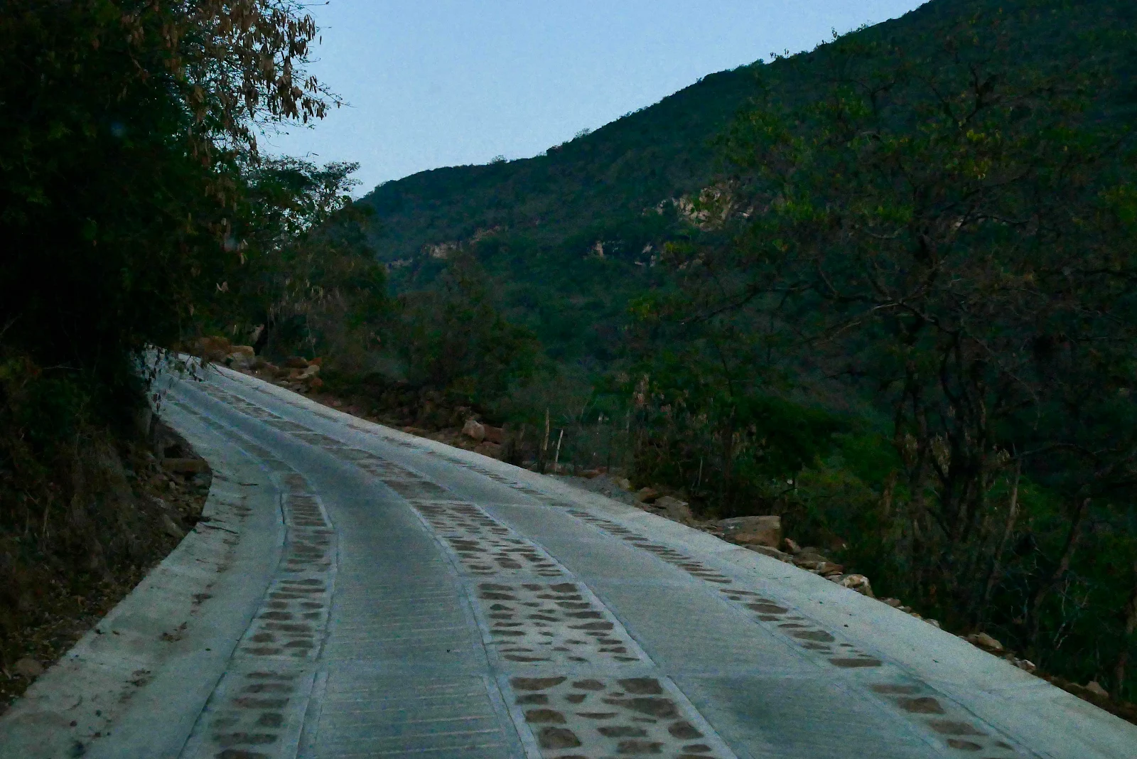
The brand new cement road leading to to the campground was clearly visible through the haze. 

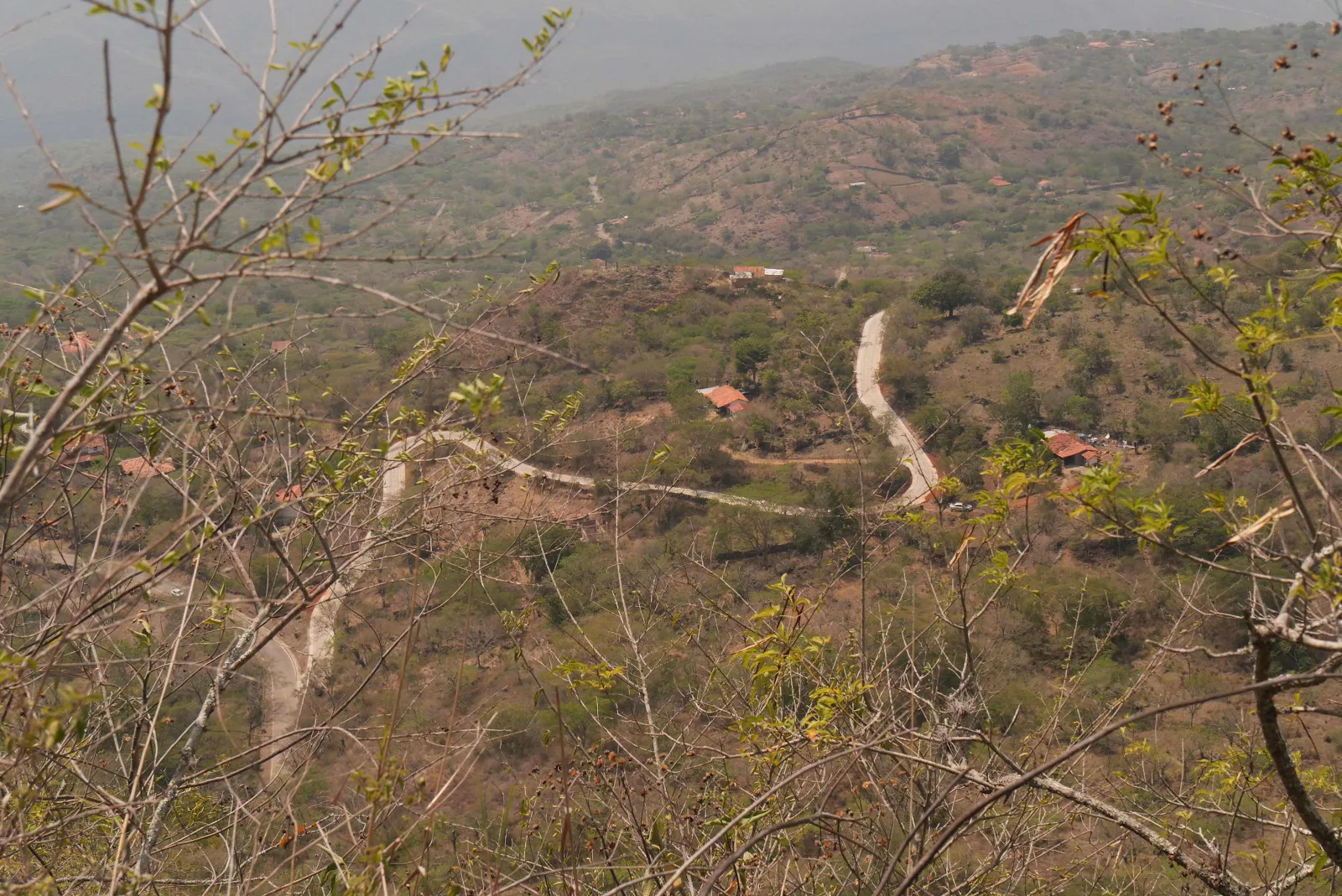
We were quite surprised to drive it the night we arrived. Apparently it is a project of the local council much appreciated by locals, and us too. 

Back to reality and I kept pressing on up and around the ridge. 

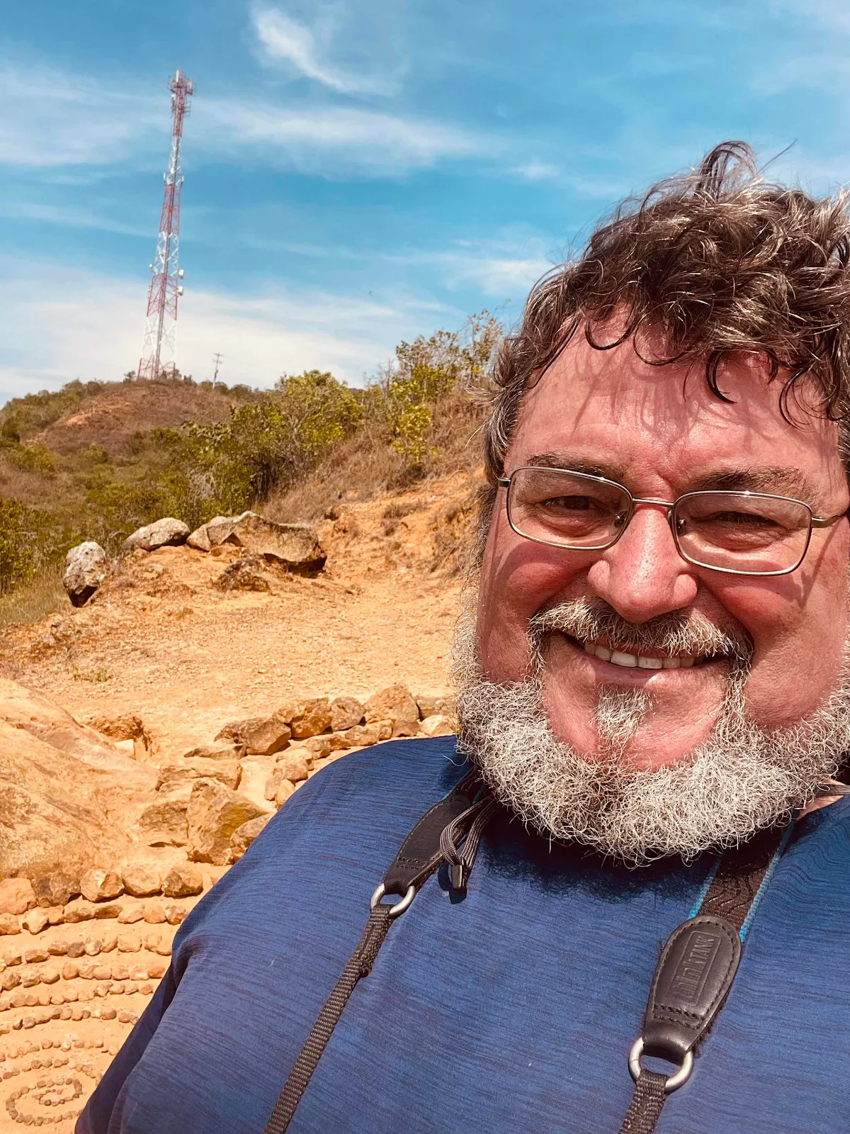
There was the tower, my landmark, behind me: 

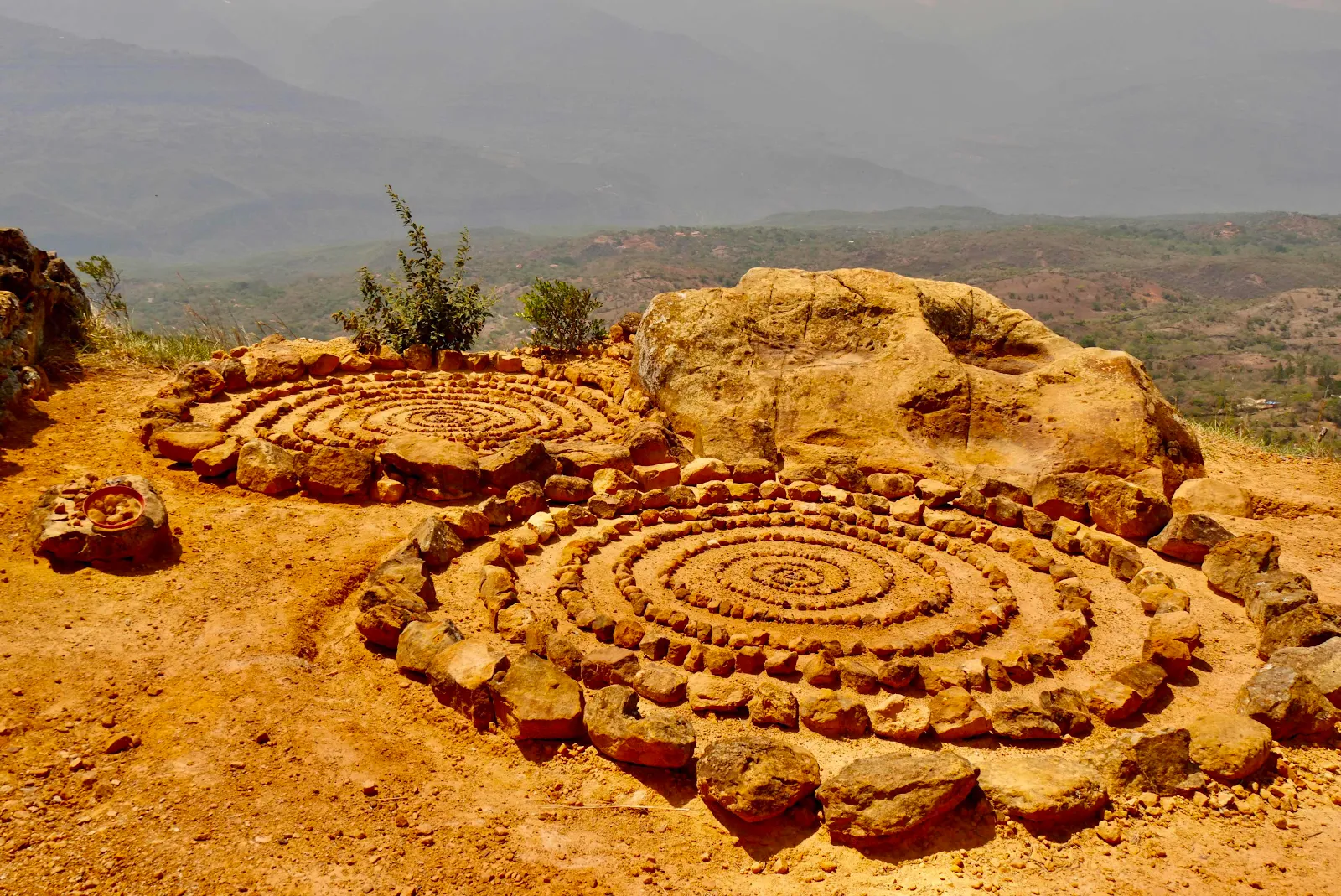
I knew where I was now as I had seen this design on Sue’s Instagram post. 


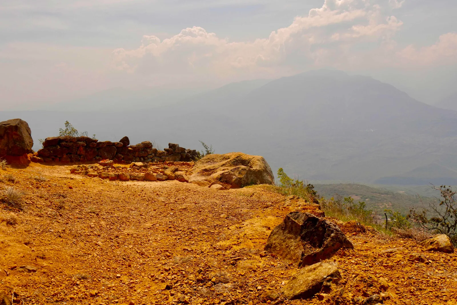
I’ve seen these circles show up in pictures of Colombia and I don’t know why. In North America piling up stones is now frowned upon I believe but not here: 

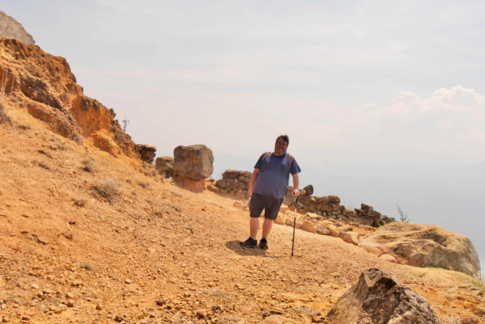
I was there and awake enough to get my Panasonic G95 to take an old fashioned timer selfie. 

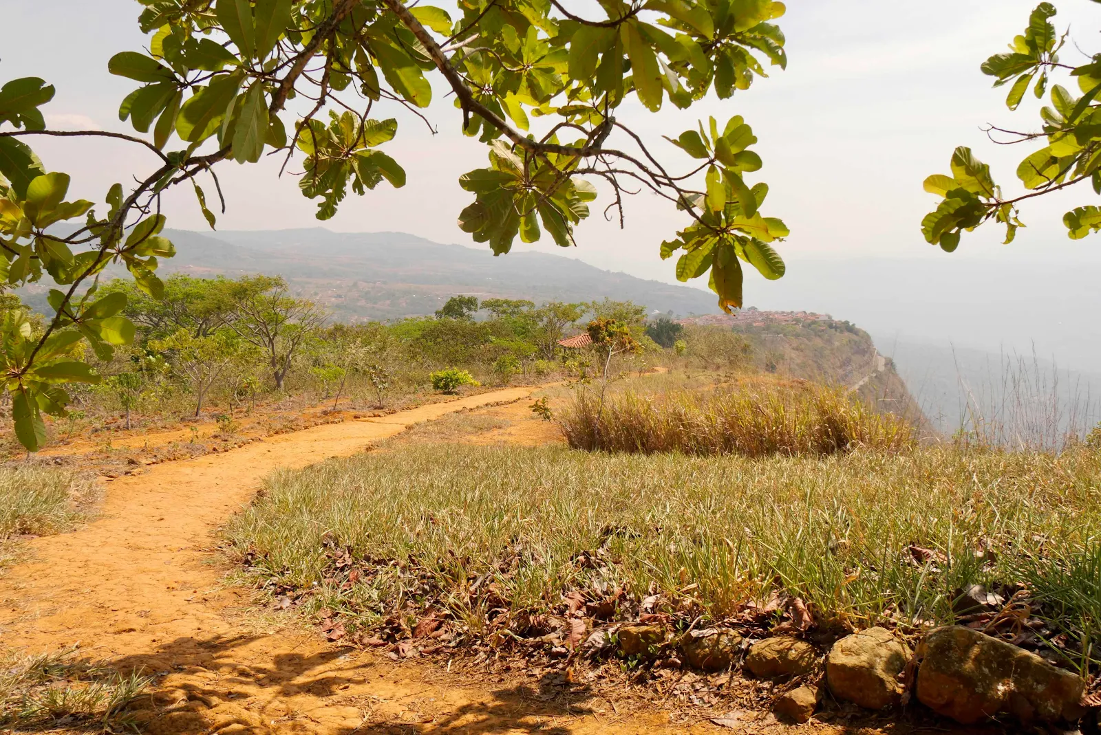
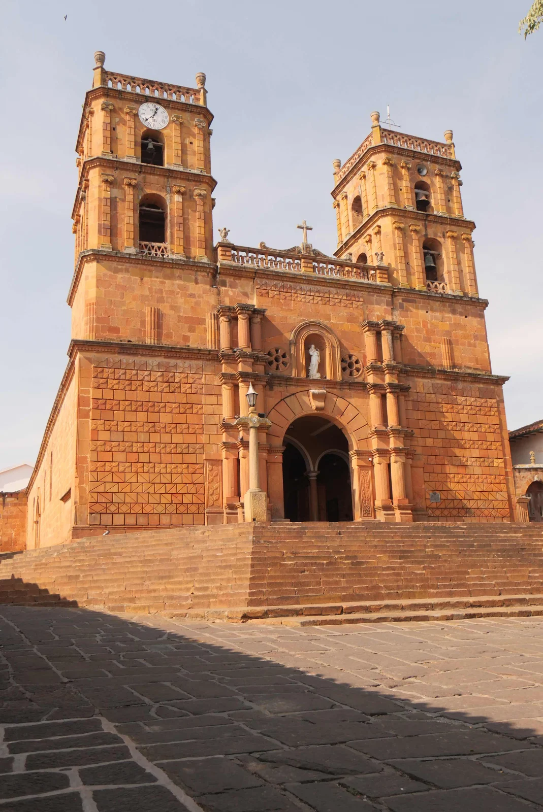
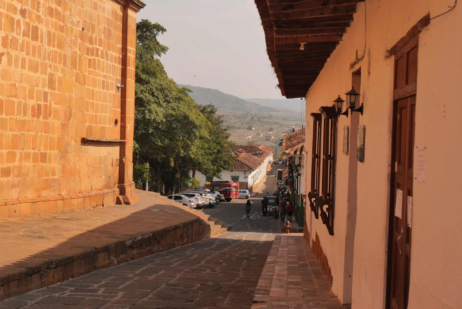
The goal, Colombia’s best known heritage city. 

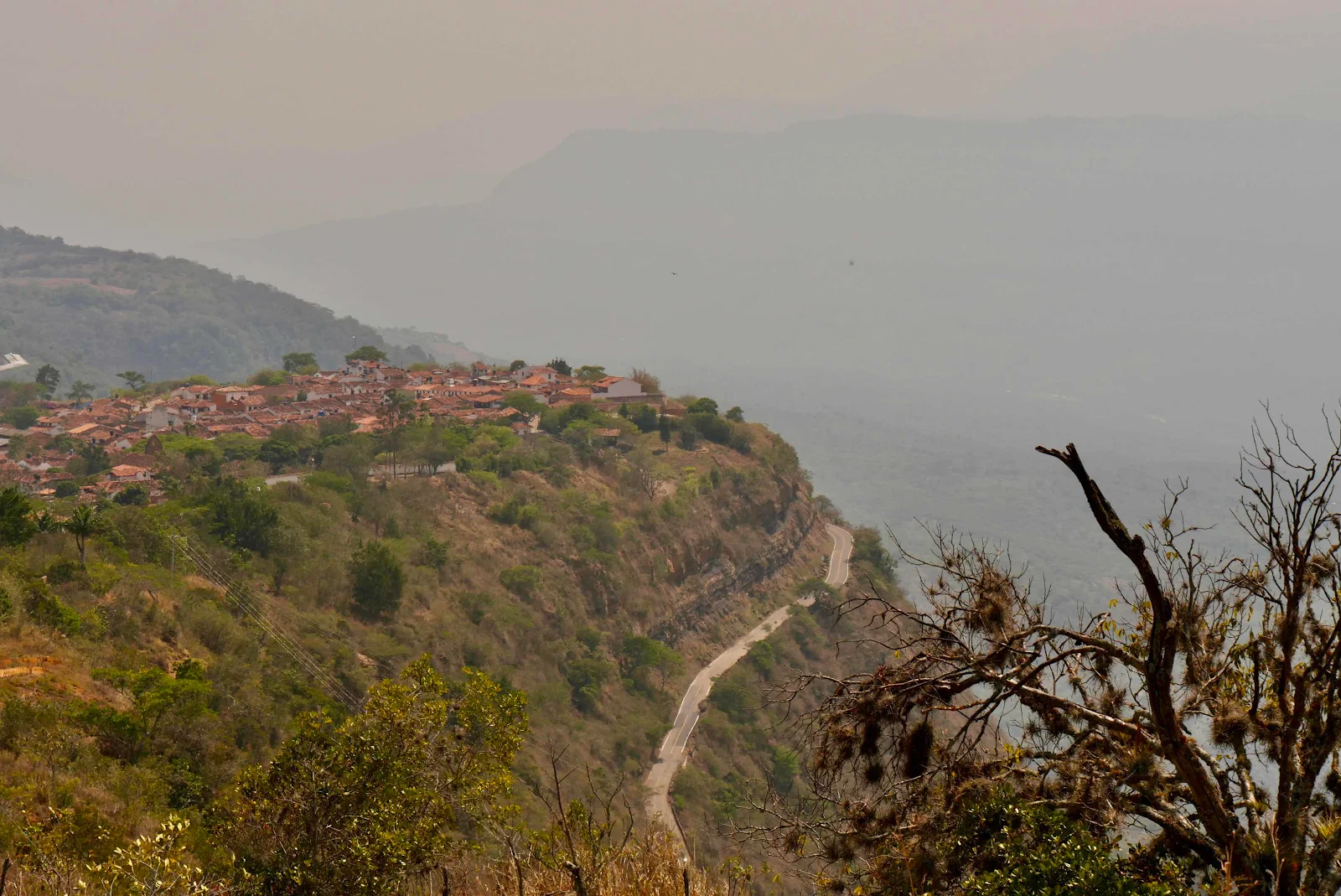
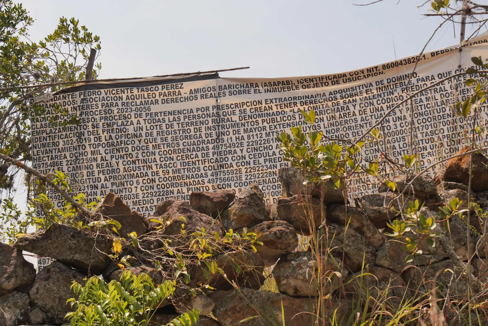
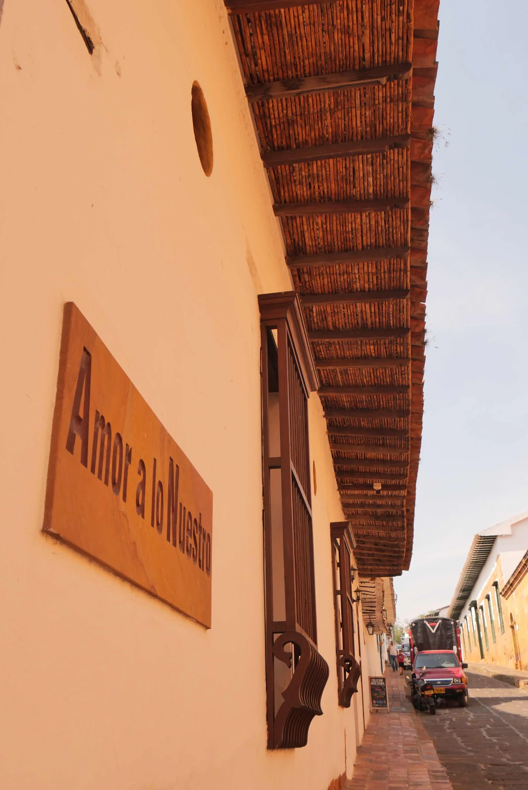
On the way into town I came across this magnificence. I skimmed the words and I think someone is taking a land ownership dispute public. There’s a park nearby and I think some one is claiming ownership to some of that land. It was too hot to stand around unraveling the mystery so I kept going. 

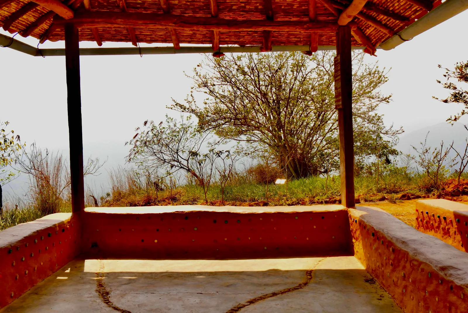
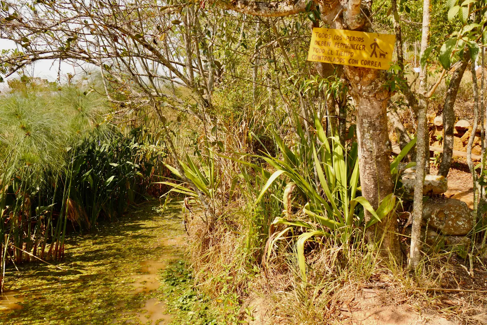
The park is a lovely spot to take a break so I did. 

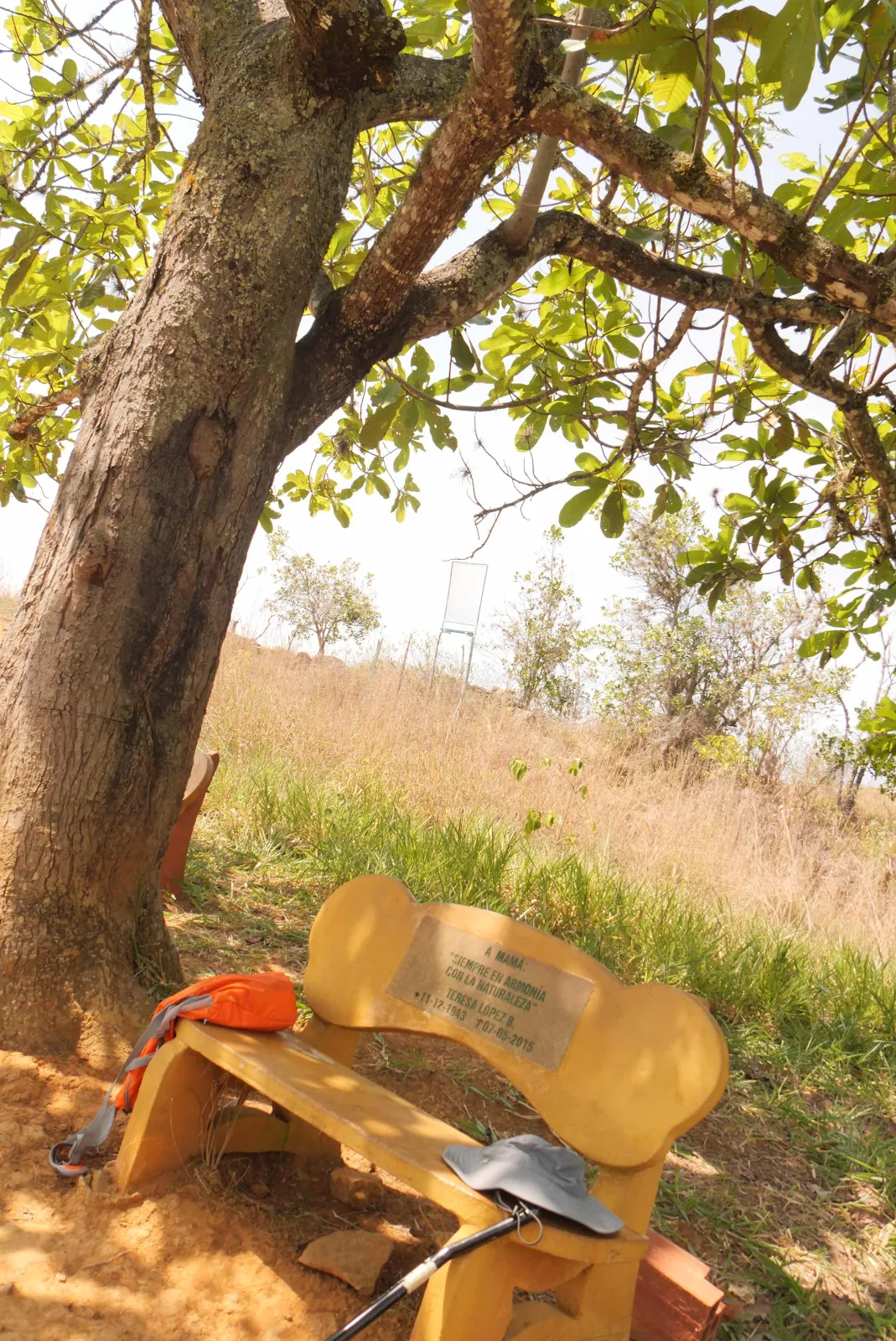
I found the dedication to mother quite touching. 

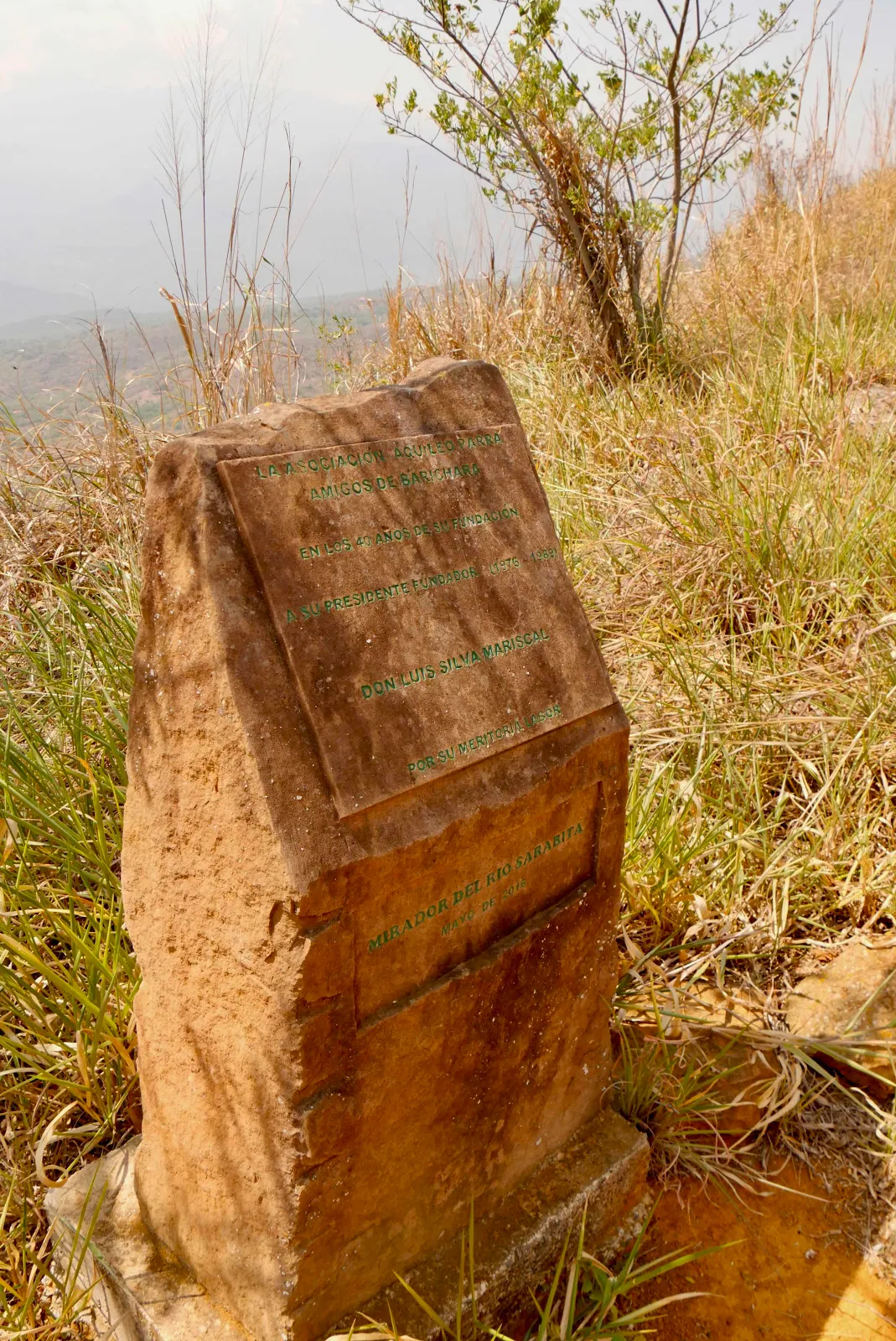
The park is the product of a club named for Barichara’s most famous citizen. Aquileo Parra (a last name well known in Key West by the way!) was born in the city in 1825 and learned to read and write with no formal education and went on to become a successful merchant,. He used his money to enter politics and in 1876 was elected President of Colombia, the culmination of a hard fought career. There were three candidates and Congress selected the most radical of the three to break the electoral deadlock created by the popular vote. It all went south from there. 

Parra was a Liberal and as president had two main planks in his platform. One was to provide health care (in 1876!) and the other was to get public education out of the hands of religious orders and offer a public education system free for everyone. Colombia is still powerfully Catholic by the way but these ideals were revolutionary at the time and if you look around the US today it’s not so different. His plan went over like a lead balloon with the opposition, so the shooting commenced. 

The president won the war in 1877 and his presidency closed out with a treaty with France which you may heard of regarding building a canal through the Colombian province of Panamá. Parra is the only President to come out of the region of Santander so I suppose a memorial to him is a good idea. I was surprised to find it here in this eco park. 

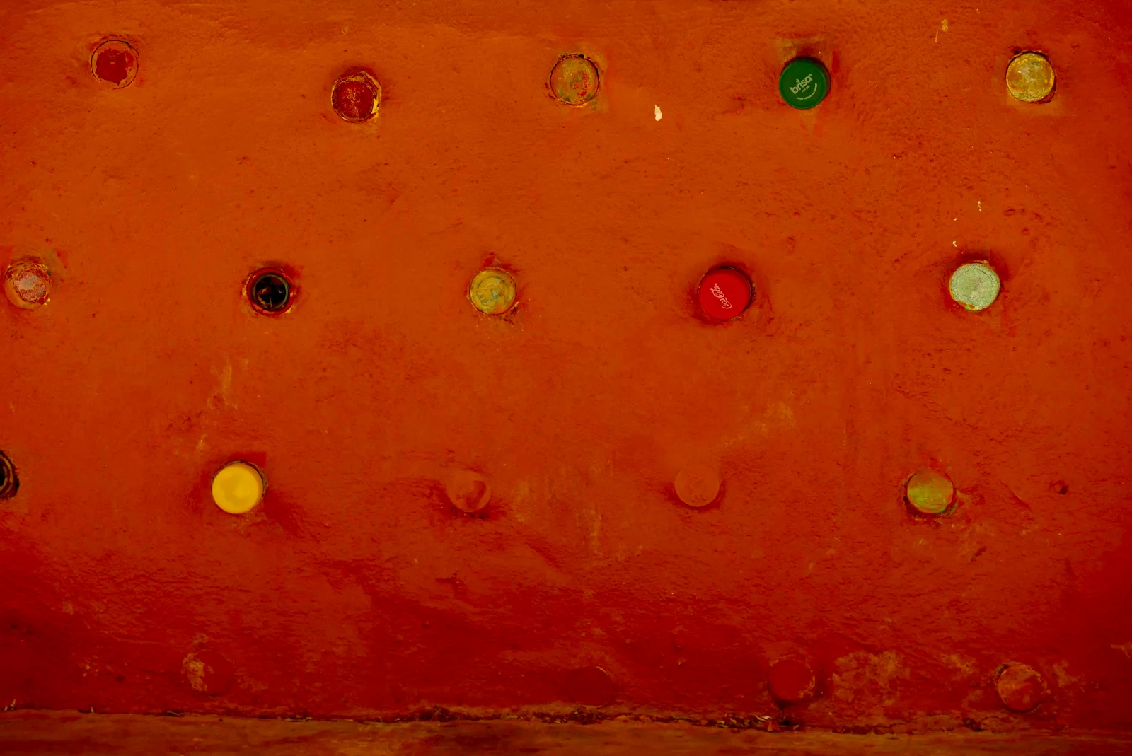
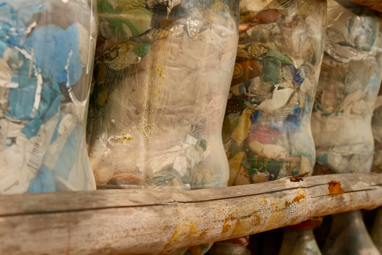
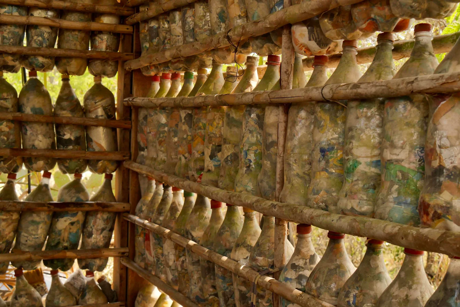
They’ve reused plastic bottles in the construction…

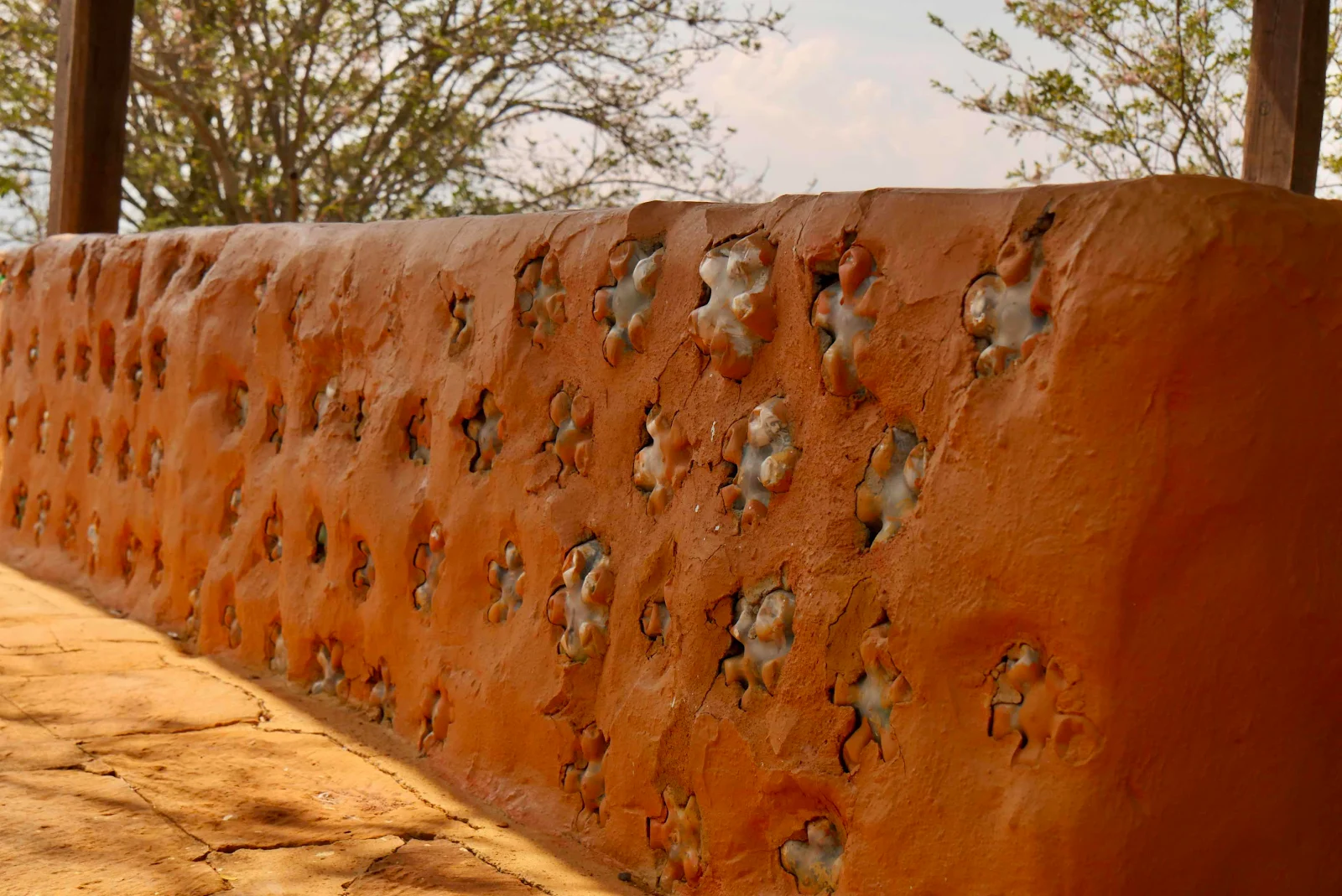
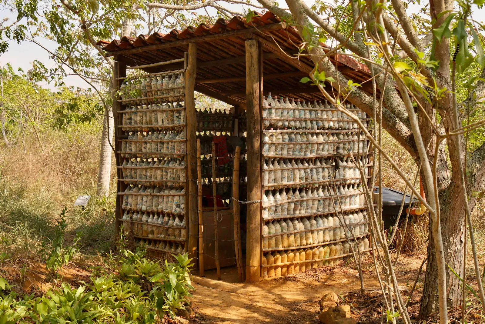
…not only of the gazebo but also the shed:


Dogs welcome on a leash. The trail is not going to work for Rusty I think. Like it or not he is growing older but he likes riding tuk tuks so we can still get him to town easily. 


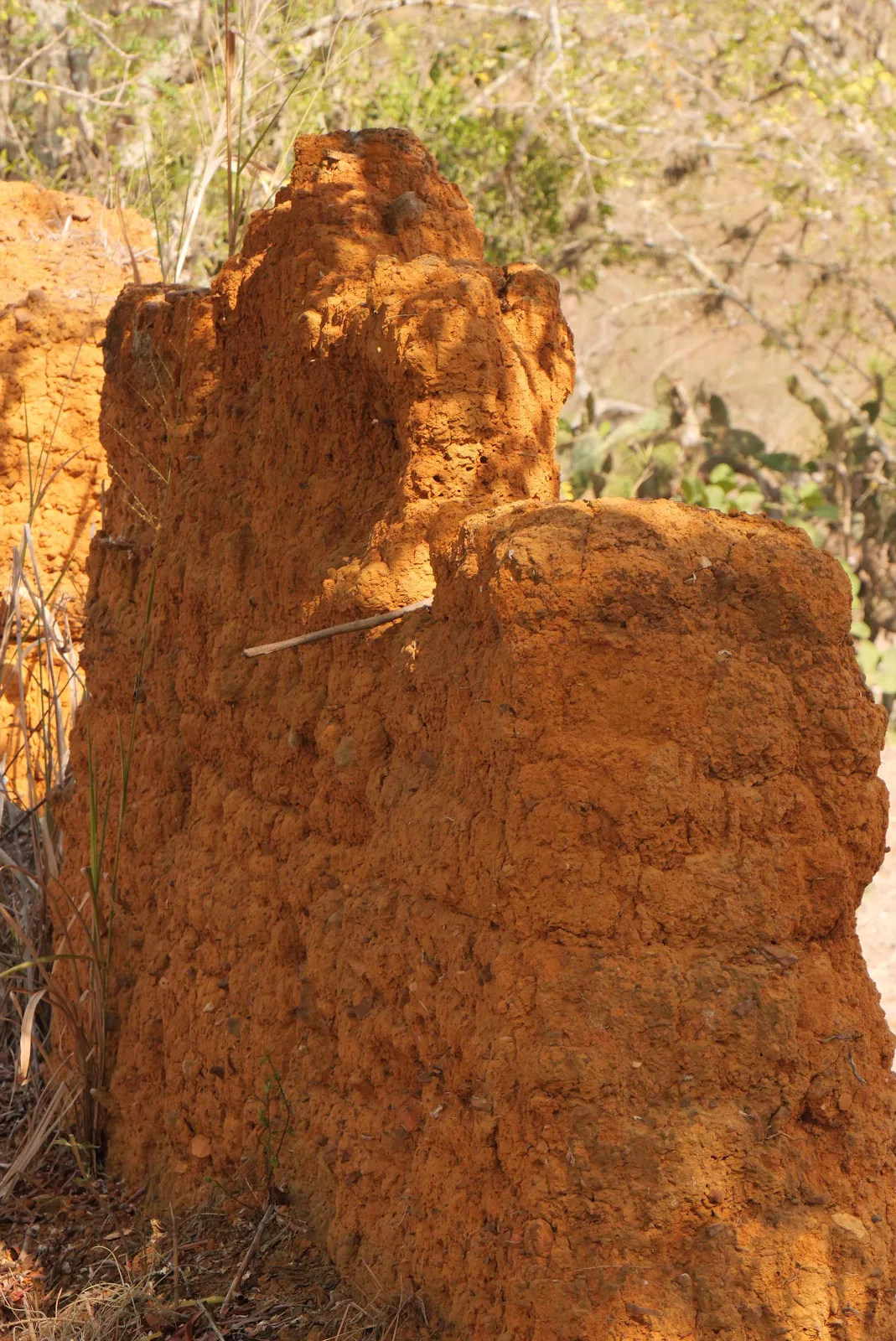
Outside the park I walked past an adobe remnant. 

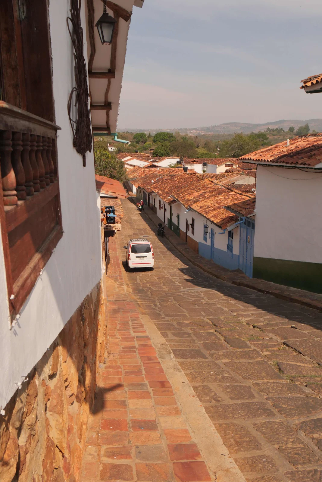
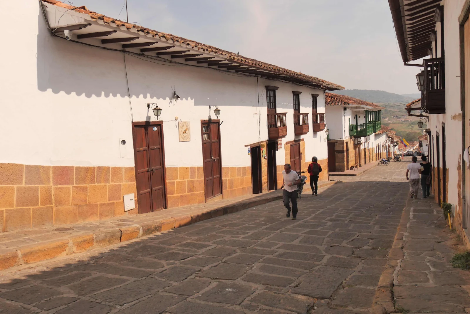
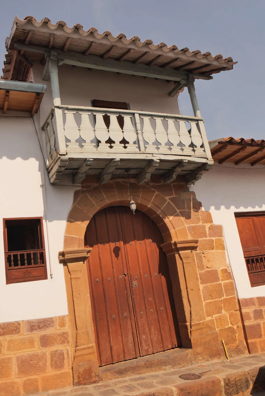
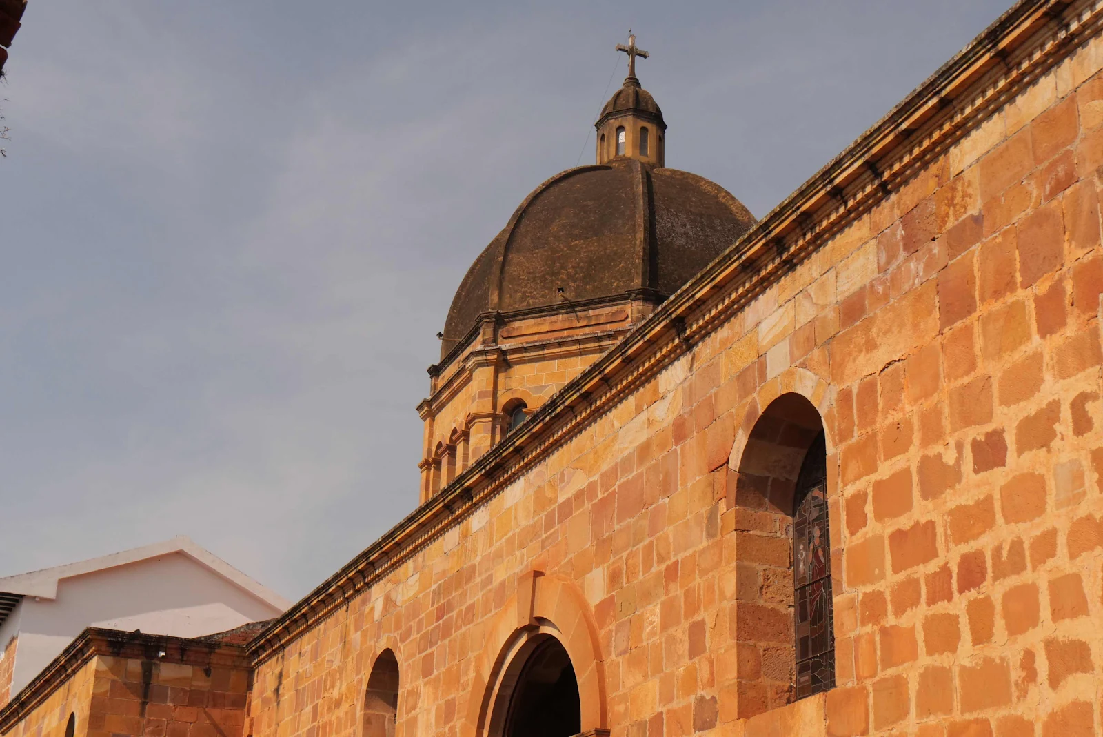
And then I was in town. It deserves its own set of photos which will come later as it’s quite photogenic! 


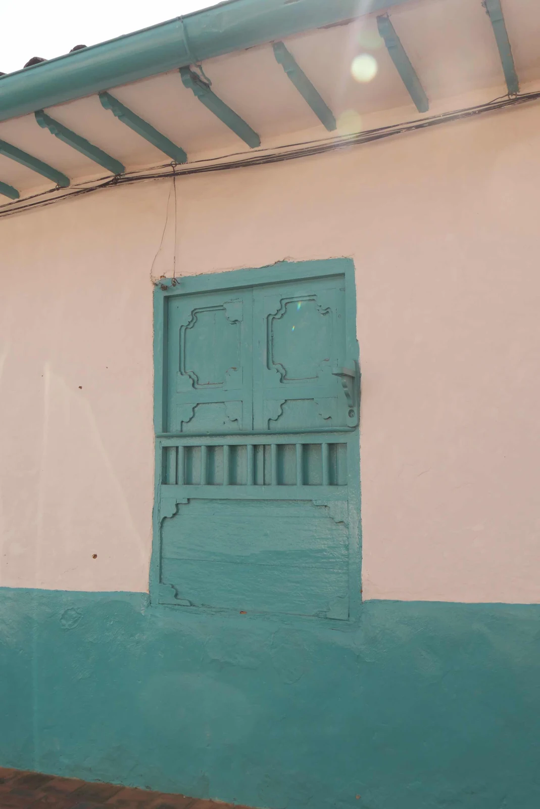
Light blue races reminded me of Key West. 


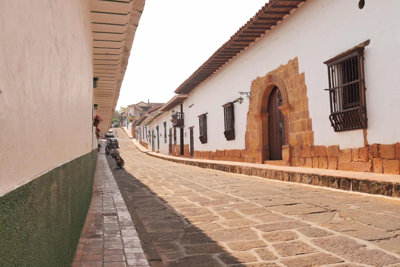
I got some ginger ale and the toilet paper and some odds and ends but shipping isn’t easy as there is no advertising allowed in this heritage city. We expect to be here a week so we’ll have time to get to know Barichara, a city in a country unknown to outsiders. Colombia is really quite surprising and I might add totally safe to travel if you haven’t figured that out already. 

Hugh and Sue posing for our campground owner just before they left for the mountain road we abandoned. 

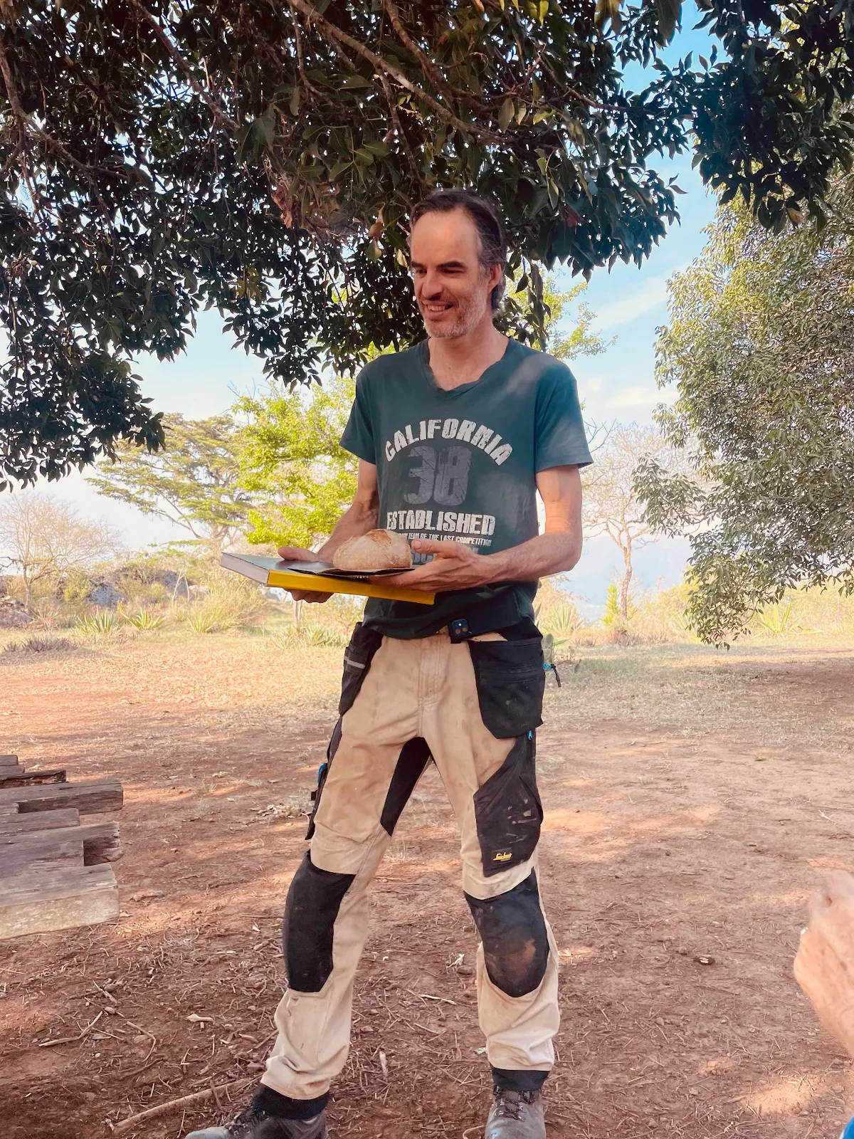
And here’s Joep (“yoop”) bringing us our morning’s freshly baked loaf. This campground isn’t normal. 

We’ll see Hugh and Sue down the road I’m sure.

Now we are the sole overlanders here. Amazing. 

Dirt Road Driving


Friday was a hard day’s drive, and by the time the sun was setting my nerves were frayed and I was exhausted, and I am someone who enjoys driving more than anyone you know. 

I have seen videos of death roads all across South America and now we have one of our own under our belts.

Officially it’s highway 55ST and we got to 7,000 feet peering into the abyss of a modest, yet vast, canyon in the foothills of the Andes and that was when we asked ourselves what were we doing there. We had no good answer, so after lunch…

…we turned around and drove two hours back down the mountain to the main road at 5,000 feet and arrived on pavement with a sigh of relief. 

Our plan had been to drive to El Cocuy, a village set at 9,000 feet and the entrance to the national park of the same name; a park that incidentally doesn’t allow dogs. The idea had been to test ourselves at altitude driving a winding mountain road, spend a couple of days camping in overnight temperatures as low as 40 degrees and then come back down. 

We found the road to be slow going for our heavily laden Promaster picking our way at ten or 15 miles per hour on hard packed dusty dirt that would be a muddy mess in the rain. The road surface itself wasn’t particularly technical even though it had its moments. 

There were quite a few guardrails and cement walls along much of the road though on most of it you could stare over the edge into a vertical precipice thousands of feet deep. Evidence of landslides was common. 

The worst of it was the traffic, not heavy but constant and utterly relentless. We looked across the canyons to gauge arrival times of plumes of dust and distant vehicles ripping along. The idea was to position ourselves in a pull out or wide stretch to coincide with the arrival of the speeding suicide driver. 

We even met huge intercity coaches barreling along like they were on pavement and they did not slow down even a little when they crossed paths with us.

This was the perfect spot for the close encounter, notice the deep ditch on my side and no widening of the road even a little. I stopped and hoped for the best, but he didn’t even slow down. I closed the electric side mirrors and continued to hope…

A recent huge landslide forced the construction of a temporary bridge over one gorge. One vehicle at a time the sign said. DO NOT STOP ON THE BRIDGE said another. 

Okay then. Confidence inspiring it was not. I wondered if at some point the trucks and buses refusing to slow down might have dislodged an end or something. I hoped the US embassy in Bogotá would write a strongly worded diplomatic note were we to plunge…but we were fine, diplomatic incident narrowly averted. 

The trick was to not meet anyone in the narrow bits if you could help it. 

Or hope you were in a wide bit when you did. 20 kilometers an hour is 12mph and we were the only ones obeying that limit. 

On the rare brief random stretches of pavement eccentrically placed on a whim around certain few corners, the speed limit shot up to 20mph. Once you realized the paved stretches were 200 yards long you understood the signs for the mockery they were. “Beginning Of Paved Section” indeed!

The lucky home owners on the paved stretches were noticeably dust free. 

The rest live under a blanket of white talcum powder. 

Which may not be the worst of their problems. I cannot imagine living, let alone farming on a vertical slope. 

People are living here, carrying out their routines, getting covered in dust as you read this.

Imagine hanging your laundry on a vertical slope. One misstep and you plunge down to the bottom of a trench thousands of feet deep. I don’t think my photographs express the horror of it seen in person. 

Layne is not fond of sitting in the passenger seat in places like these but she stuck it out without complaint. 

I caught a shot of a man out walking on the lower section of the road which is properly paved. We saw him on the way back walking firmly down hill. I wondered what he would say if I were to stop and ask him how he felt living his life up the canyon. No problem he’d probably reply puzzled by my apprehension. 

For us it was too much. We went over the numbers when we stopped for lunch at a wide spot in front of what appeared to be an abandoned restaurant. 

I walked Rusty, well away from the edge,while Layne cut up and heated a tamale and a couple of empanadas, one made of hot dog slices and corn kernels(!) and the other filled with meat and barbecue sauce a weirdly North American sweet flavor very popular in Colombia. Then we discussed our problem. 

We faced a 200 mile drive to El Cocuy which Google estimated would take us ten hours and which we were figuring having come two hours and made no progress,  might take us three days. Once there we could camp in a field at a hostel but unlike our Canadian friends we had no plans to hike 14 miles at 14,000 feet. They are lean and competitive where we are soft portly and enjoy comfort; I would be more inclined to rent a room with a fireplace than bust my lungs stumbling about above the tree line. Then after a few days of lounging in a frigid altitude adjustment we would face an equally long complex drive back down the mountains. 

We both agreed that had this been the main road to somewhere we needed to be, we could in fact do it. GANNET2 is entirely capable and we though exhausted, could get the job done but driving an endless dirt road to go nowhere was not much like fun.

And the other important point we considered is that this  road is not the culmination of our trip. We fully expect to drive roads, paved I hope, at twice this altitude for extended periods the length of several countries ahead of us. I certainly had my mountain fix and Layne felt like she could cope with driving along precipices so we saw no reason to press on.


This road occupied my mind fully  and I find driving dirt exhausting. Had we a more suitable vehicle that would obviously make it easier but we neither of us came here to go rock hopping or to drive deep off road to seek solitude or make heroic YouTube videos. 

Layne is a member of a South American overlanders forum for people physically traveling South America, not for planners or dreamers. Apparently there are less than 350 members, so if you double that number to allow for people traveling not in the group the number of overlanders in South America is tiny. 

Unlike public land in the United States where recreational camping is hugely popular down here what we are doing is almost unknown. Colombians we meet are constantly amazed by our vehicle and the concept of living on the road. We pretty much are alone everywhere we go. 

Our van is heavy and comfortable and not designed to go off road, so our ability to go into the wilderness is limited and that was our choice. Layne wanted to have a home just as she did when we went traveling by sailboat and I don’t consider myself a rugged outdoorsman, not by a long shot!

I actually was tempted to stop at this car wash set up at the end of the dirt road by an entrepreneurial family charging six bucks to hand wash your sedan. The fact is we enjoy beaches and parks and mountains but we also enjoy cities and museums and history. I find GANNET2 easy to drive in traffic and not particularly hard to park. 

On pavement, the Promaster’s intended environment, the van is quiet and easy to drive and of course though we do not drive fast I find hours of driving to be enjoyable.  As a home GANNET2 is what we call our suburban home on wheels. 

I’ll drive dirt if there is a goal but I find the concentration required exhausting and listening to my home lurch is no fun. 

Rainy season in Central America put extra stress on us as streams were high, dirt was mud and grass was slippery and all of that made our Promaster less than able. We had to pay close attention to where we drove. On the other hand we can sit out rain more comfortably than most campers. 

And now that Layne has figured out how to make lemonade from lemons we have room to load what we need when we come across  25 pounds of lemons for five bucks. 

Well maybe not, that might be too much for us but even in a Promaster the choices of roads here seems limitless. Pavement is always preferred.