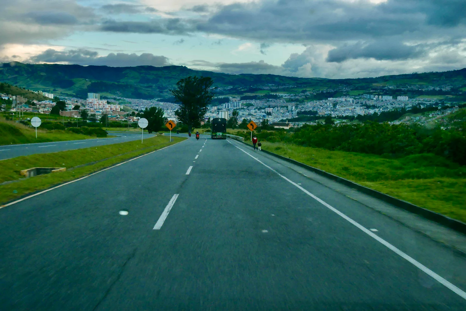
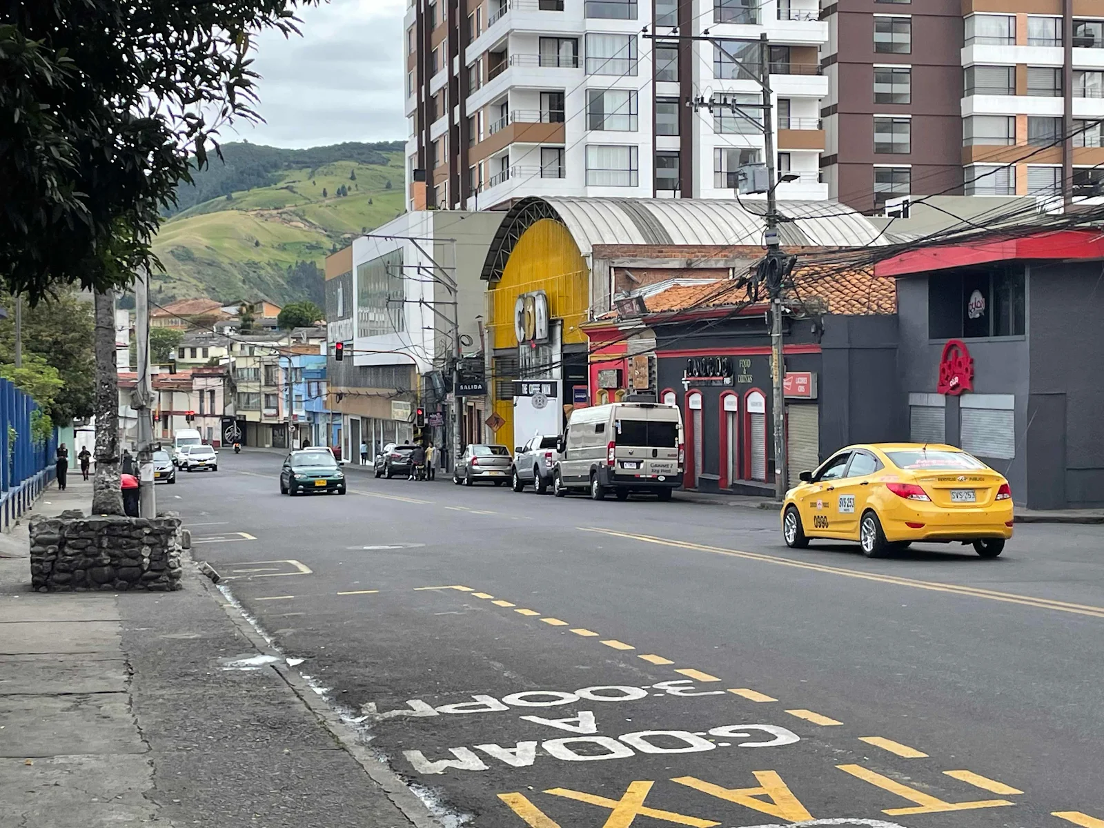
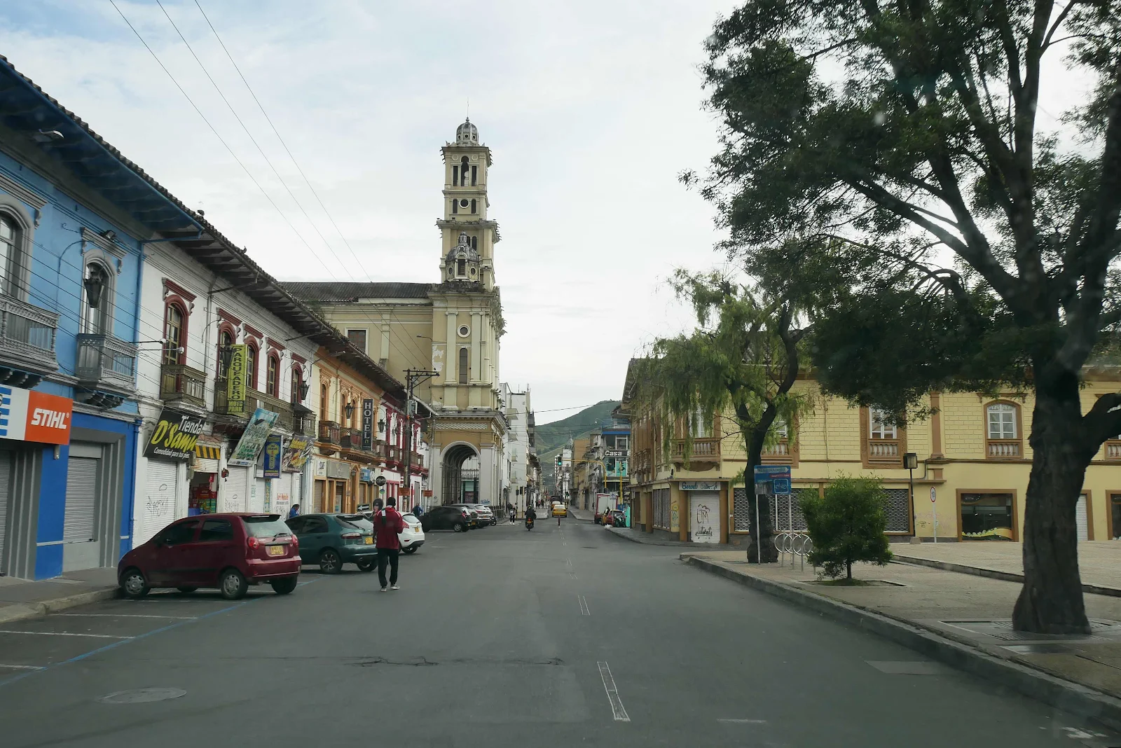
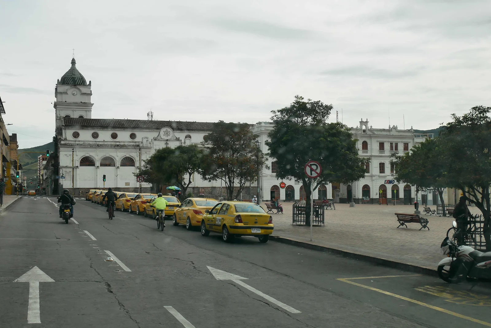
The city of Pasto sits in a basin around 9,000 feet in the Andes and it’s not a tourist town by any means, it’s a busy departmental capital at the very bottom of the country. We spent the night slightly out of town:
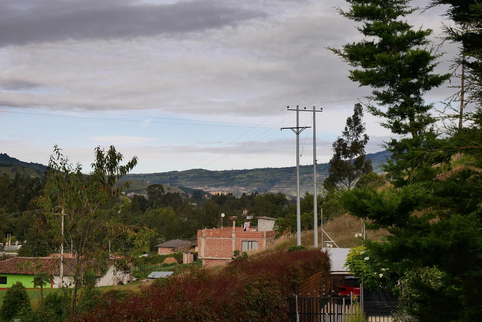
Below is the view of the city from our campground, Pasto was tucked into a fold of the mountains. Its proper name is San Juan de Pasto founded in 1537 and with a population of 400,000. The name Pasto comes from the tribe that lived here before the Spanish essentially wiped them out.
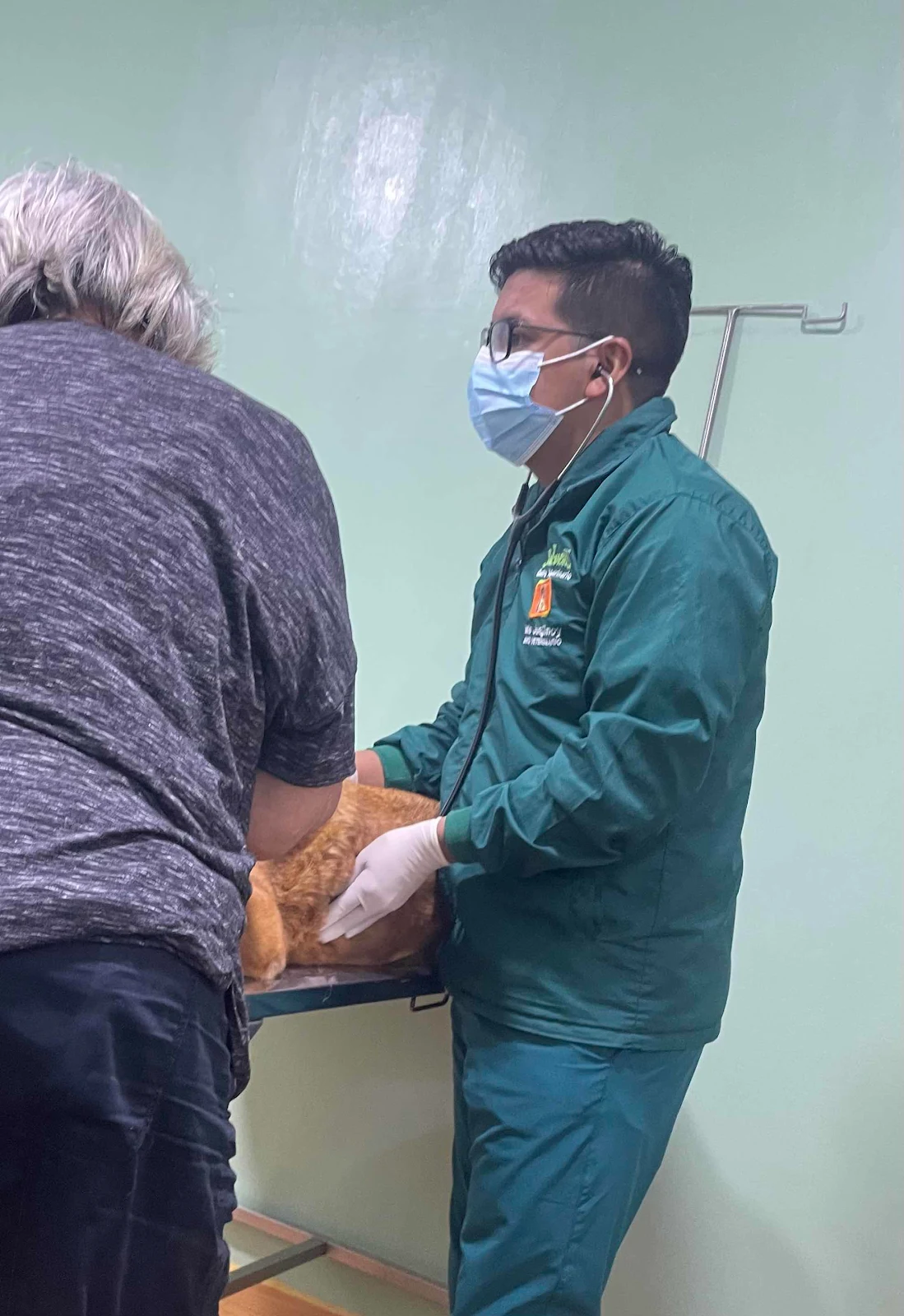
The vet opened at nine and we were there at 8:30 do Rusty got his walk first. Monday was the Feast of the Sacred Heart and a national holiday so traffic was light and quite a few businesses as well as government offices were closed. But the vet is open seven days a week, which was excellent for us.
Our $55 bought a full check up for Rusty and he was extremely patient. He loved the thermometer up the backside and he stared balefully at me as Dr Mario held the glass tube in place. He is in excellent health aging gracefully, Rusty that is not the vet who was thorough and careful and youthful.
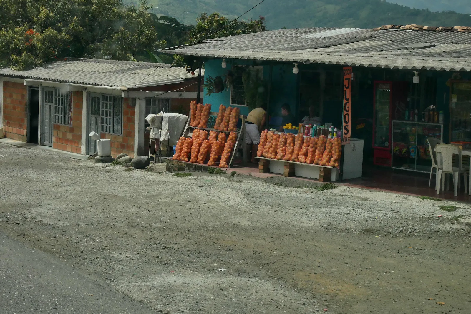
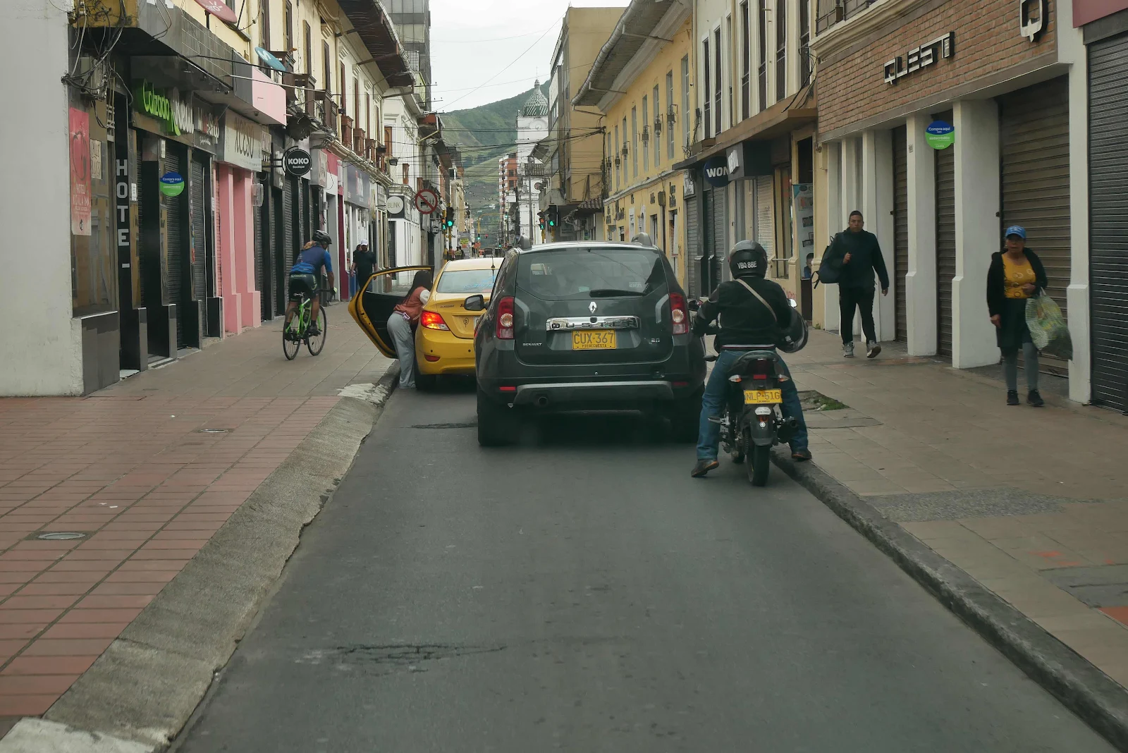
Pasto is not a pretty city but it has a cheerful busy sit to it even on a holiday.
We liked the place even though we had no reason to hang out.
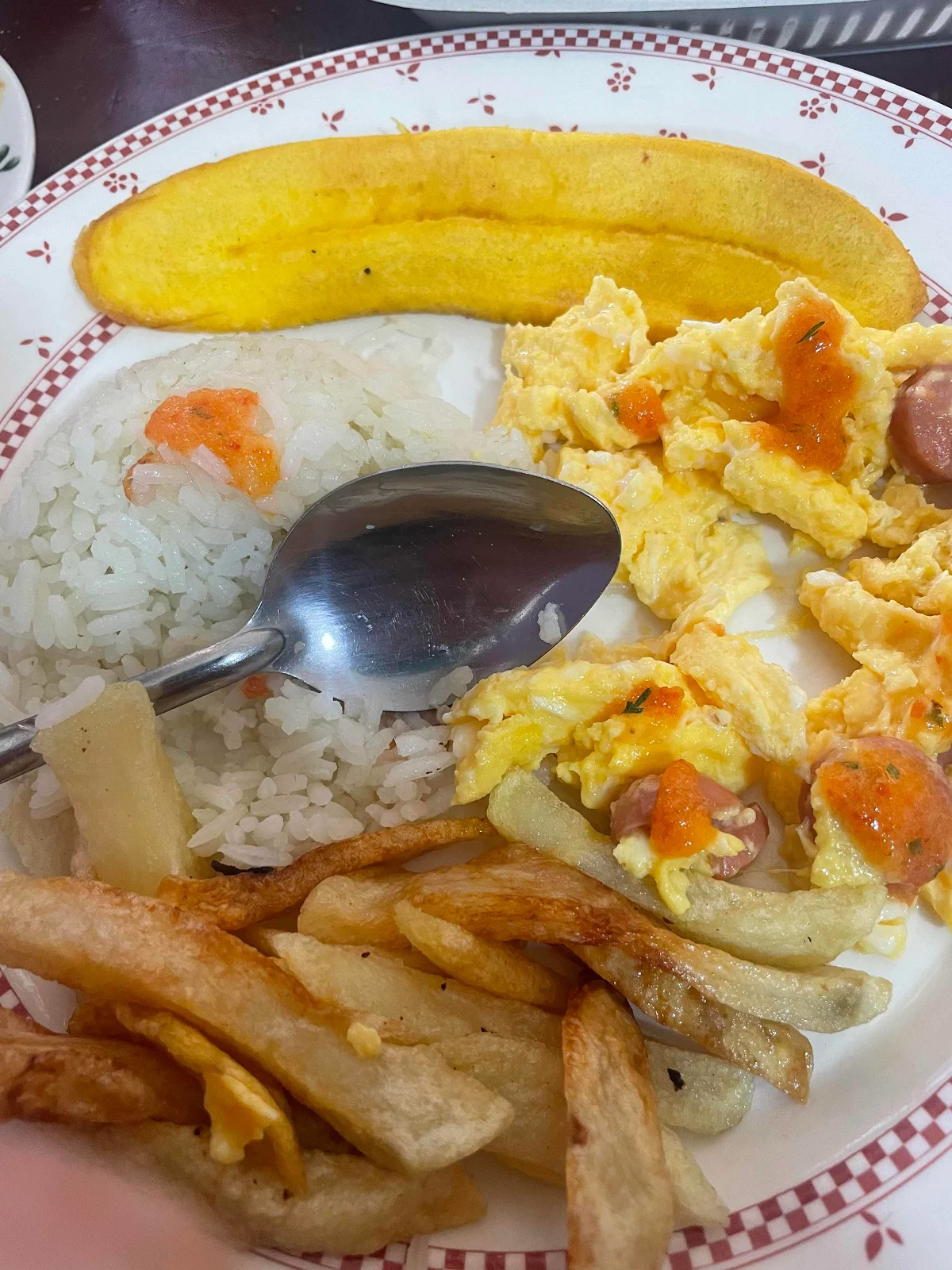
Breakfast of champions, scrambled eggs with hot dogs, rice and a rather stiff slice of fried plantain. I’m told the cuisine in Ecuador is rather similar so that’s nothing to look forward to though I d joyed my eccentric plate of breakfast food. It held us through lunch so it was a real deal.
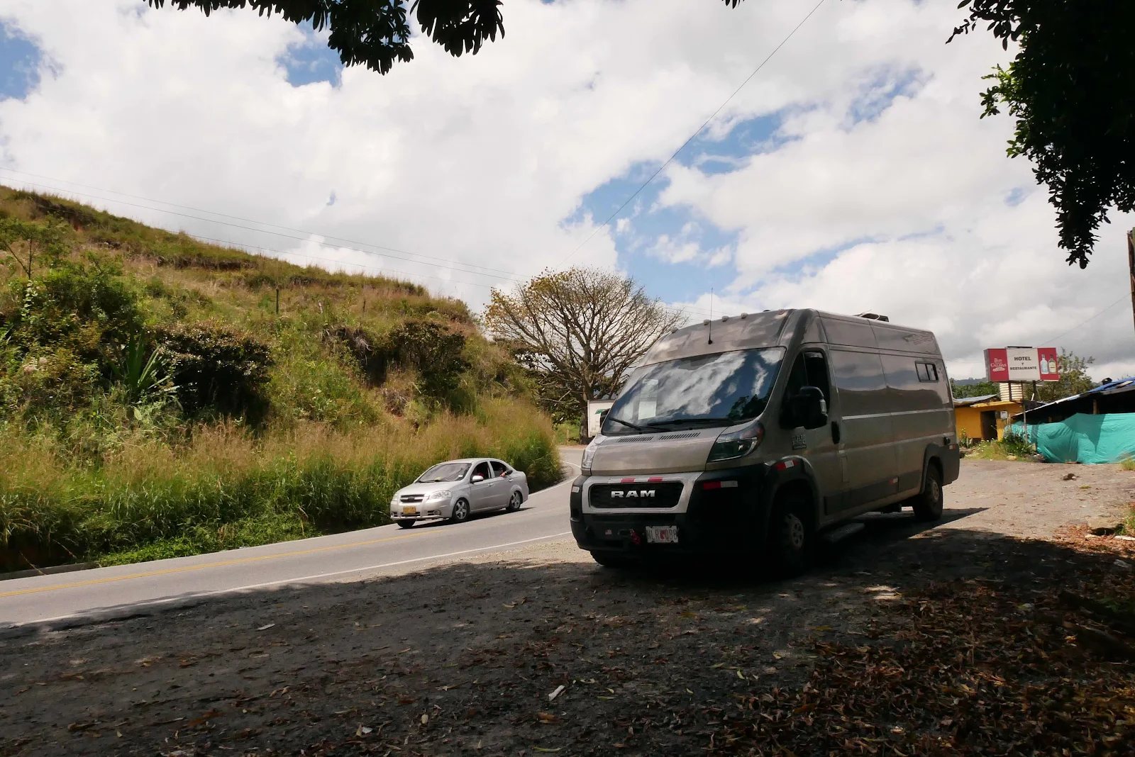
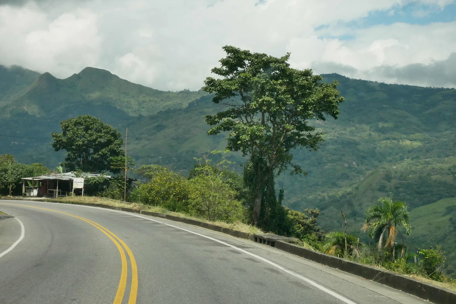
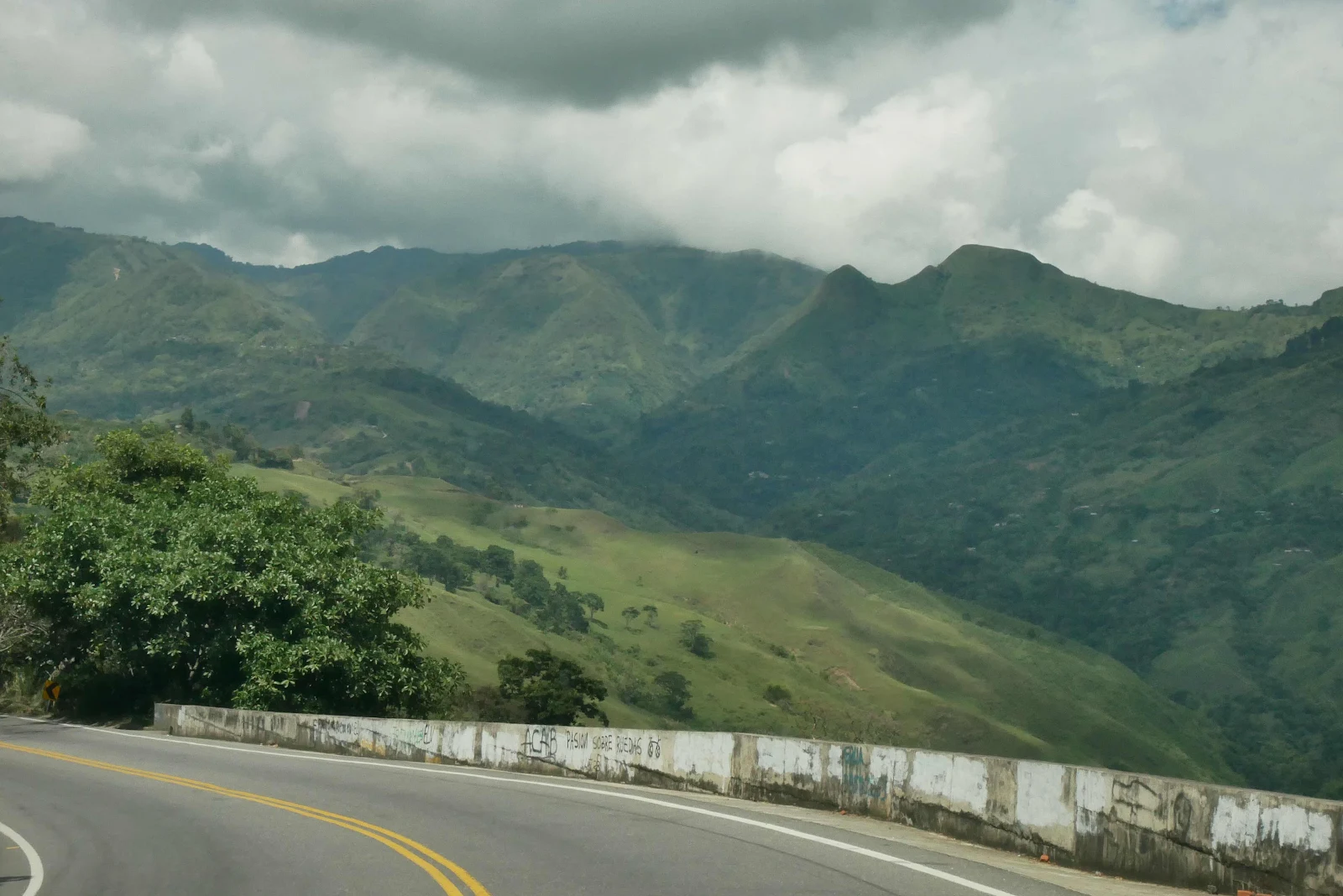
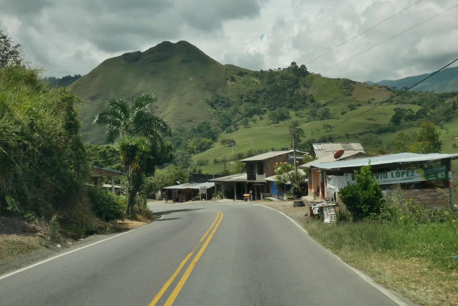
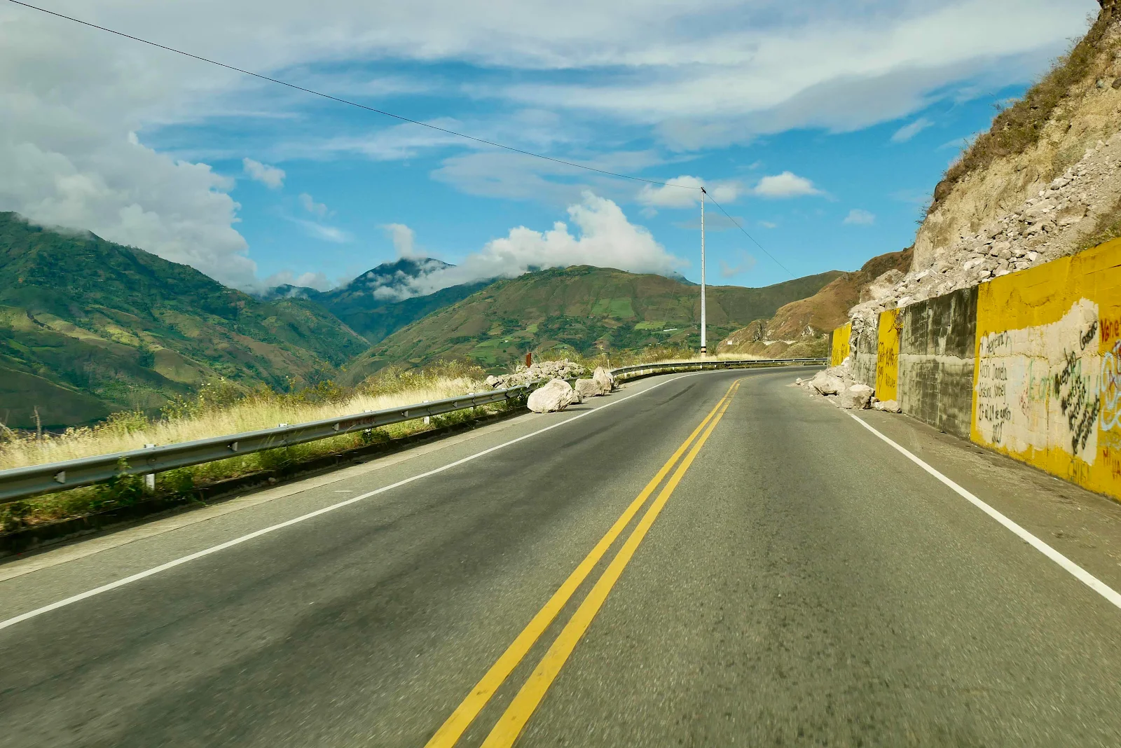
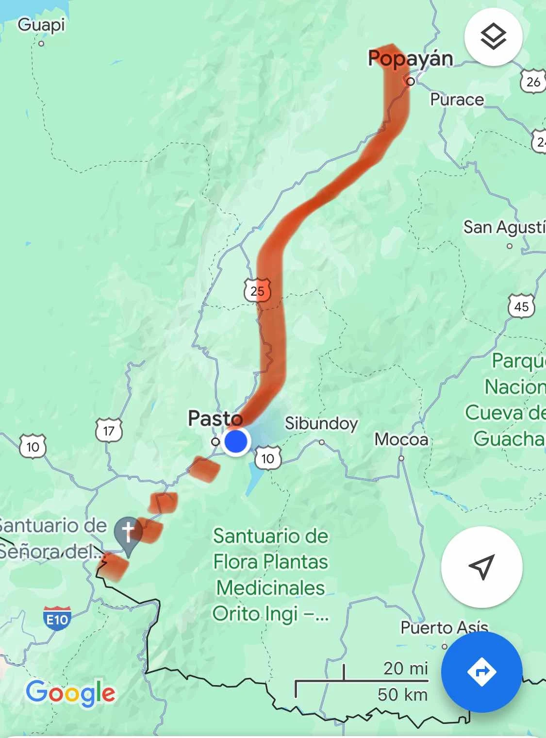
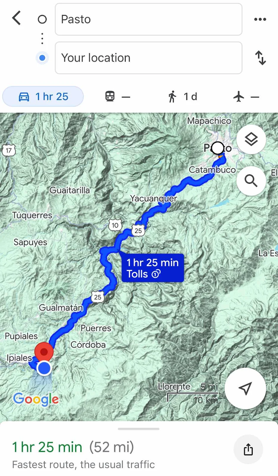
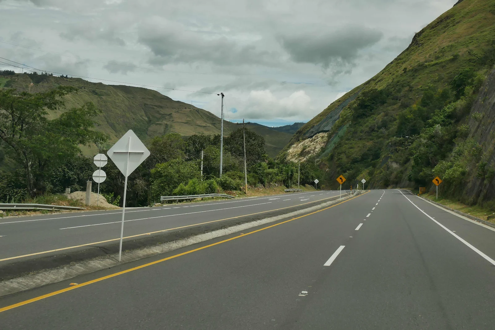
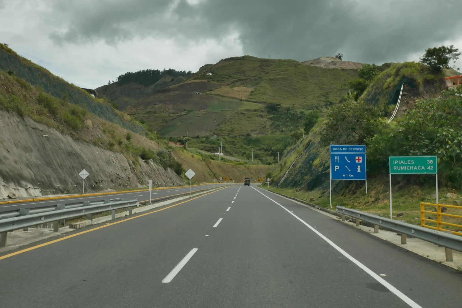
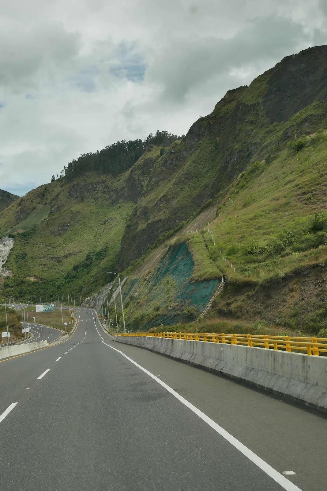
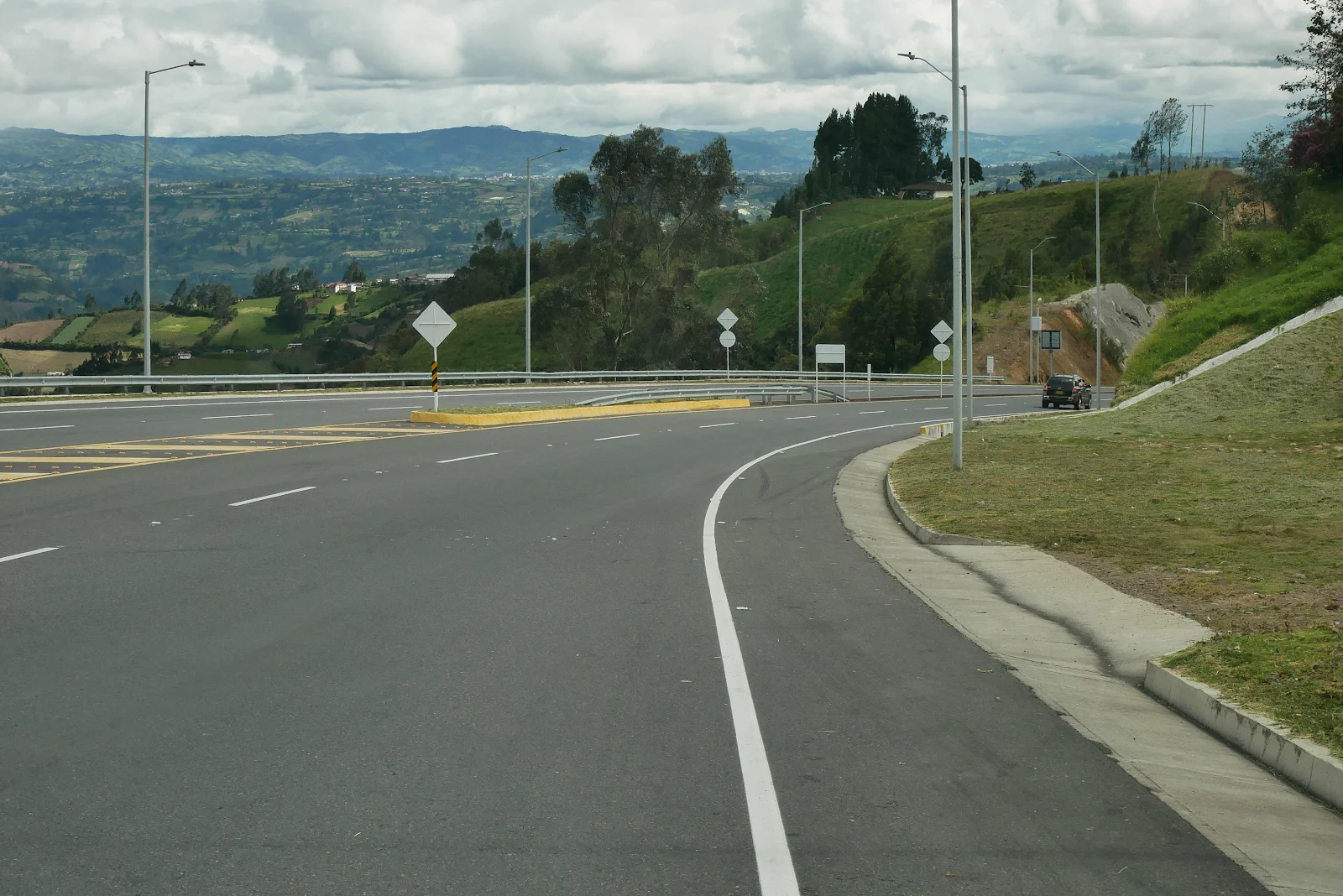
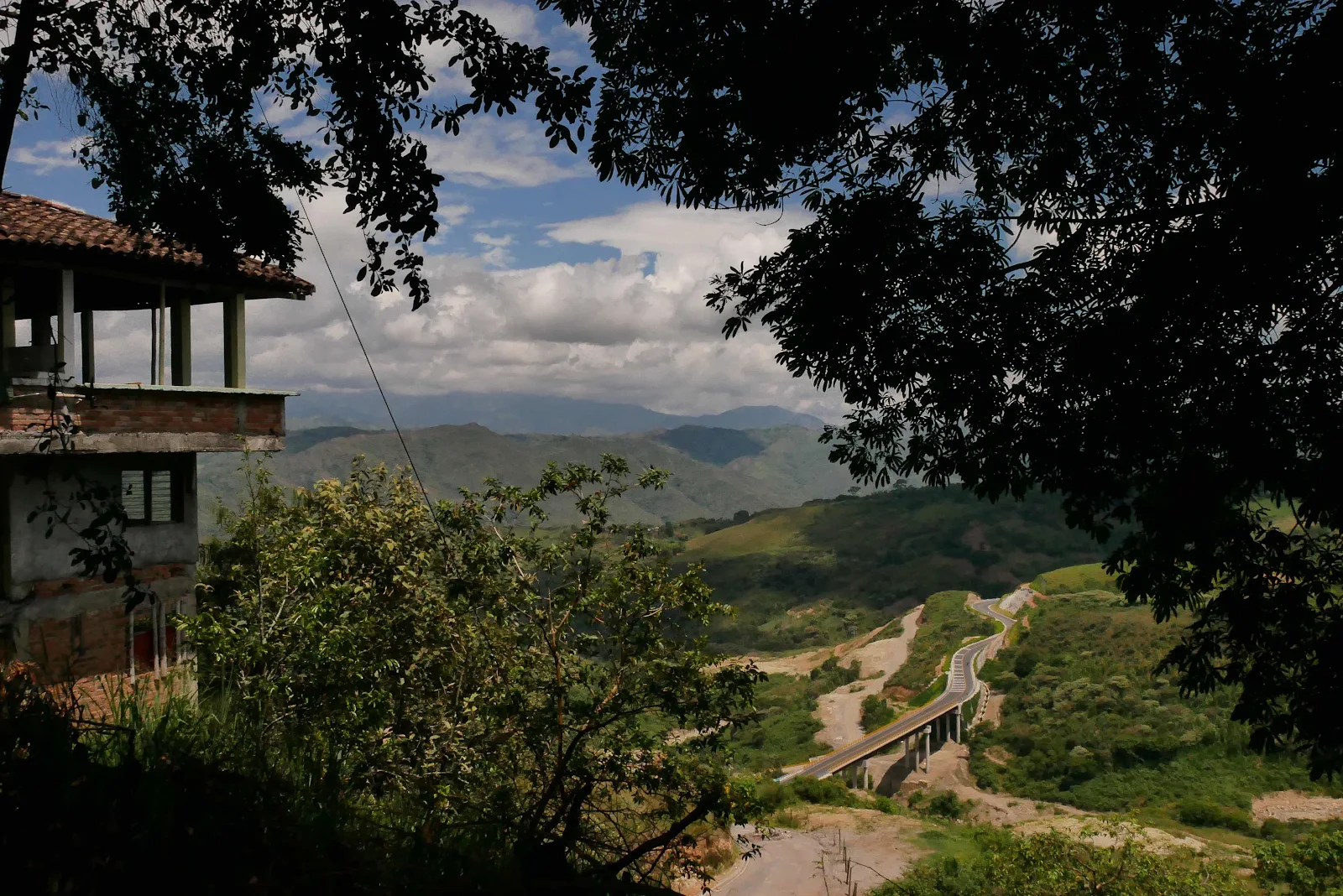
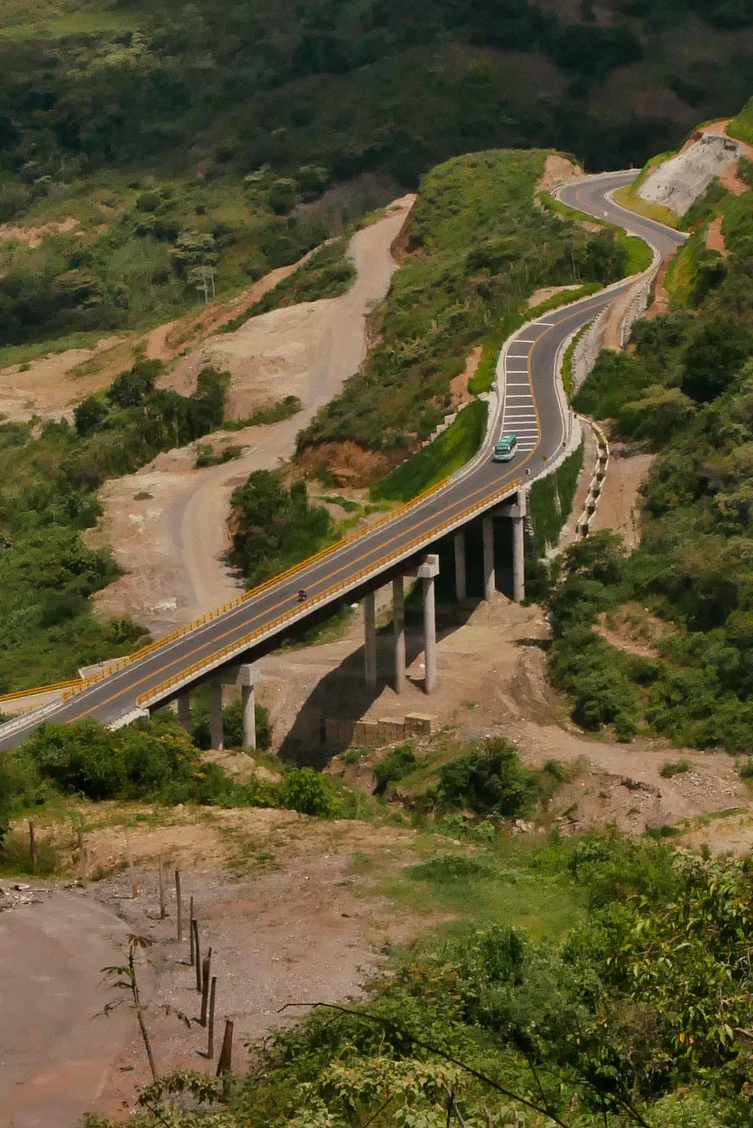
We left Pasto driving south uphill on Highway 25 to Ipiales, the last town before the border at Rumichaca Bridge. And here began a rather surprising drive.
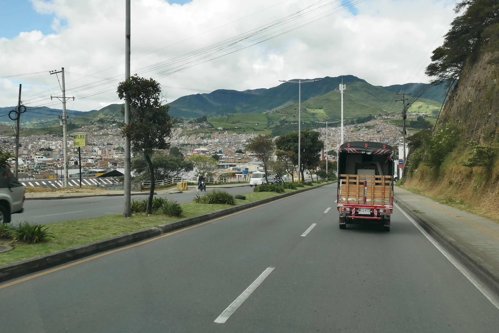
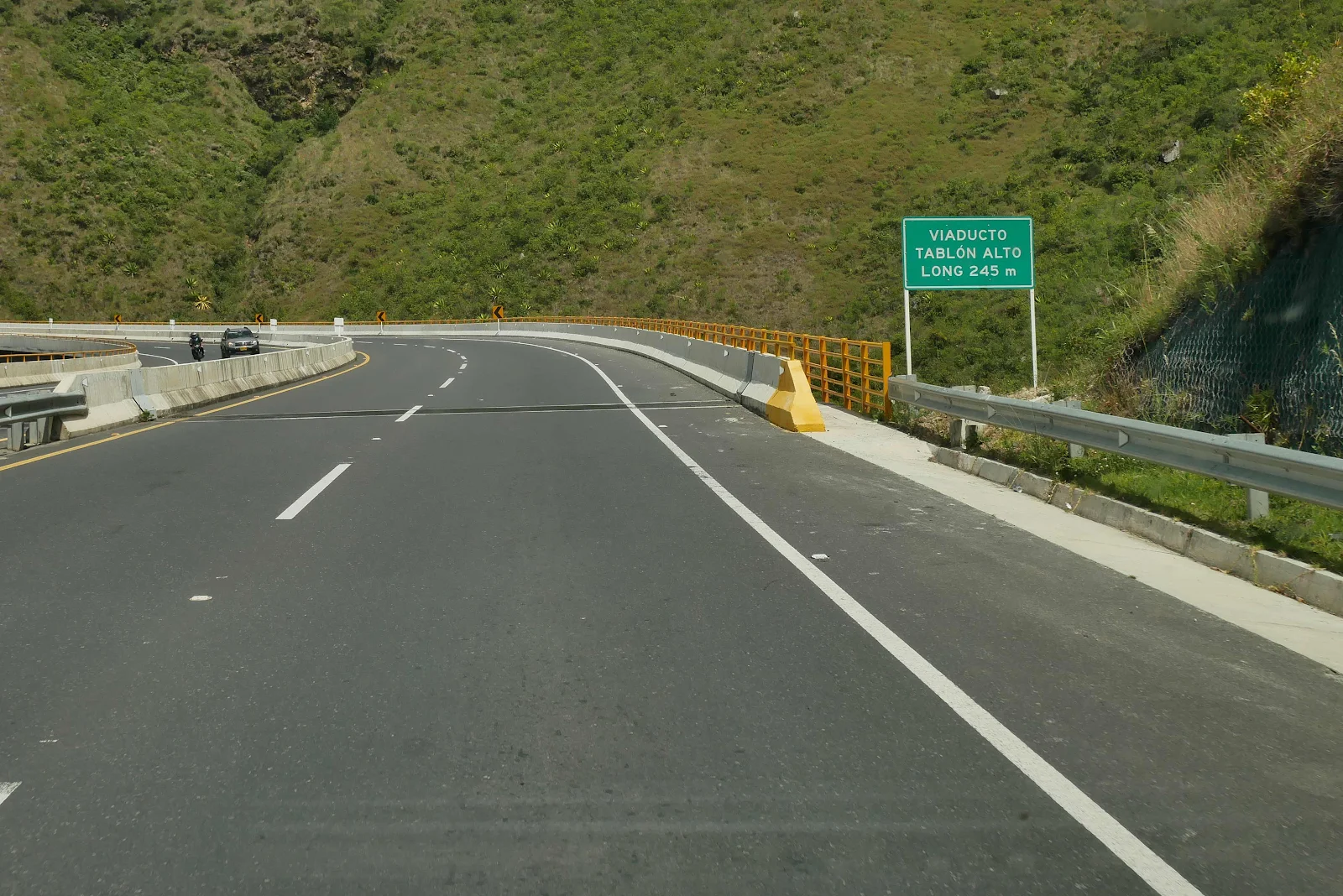
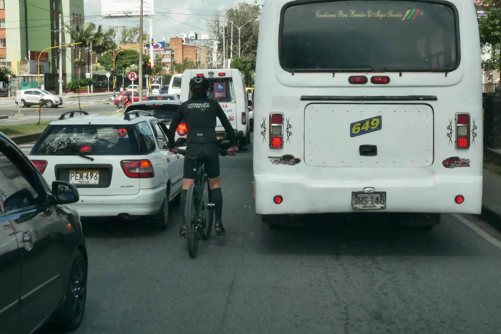
The highway was fabulous, 40 miles of four lane freeway smooth and modern with ten more miles of excellent quality two lane a total drive time of 90 minutes according to Google Maps.
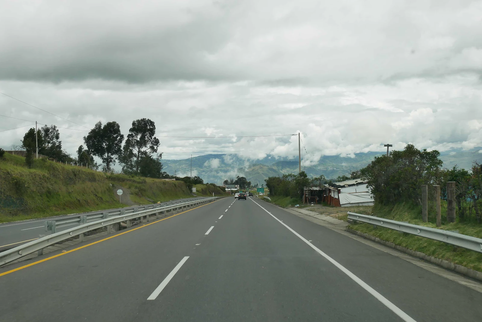
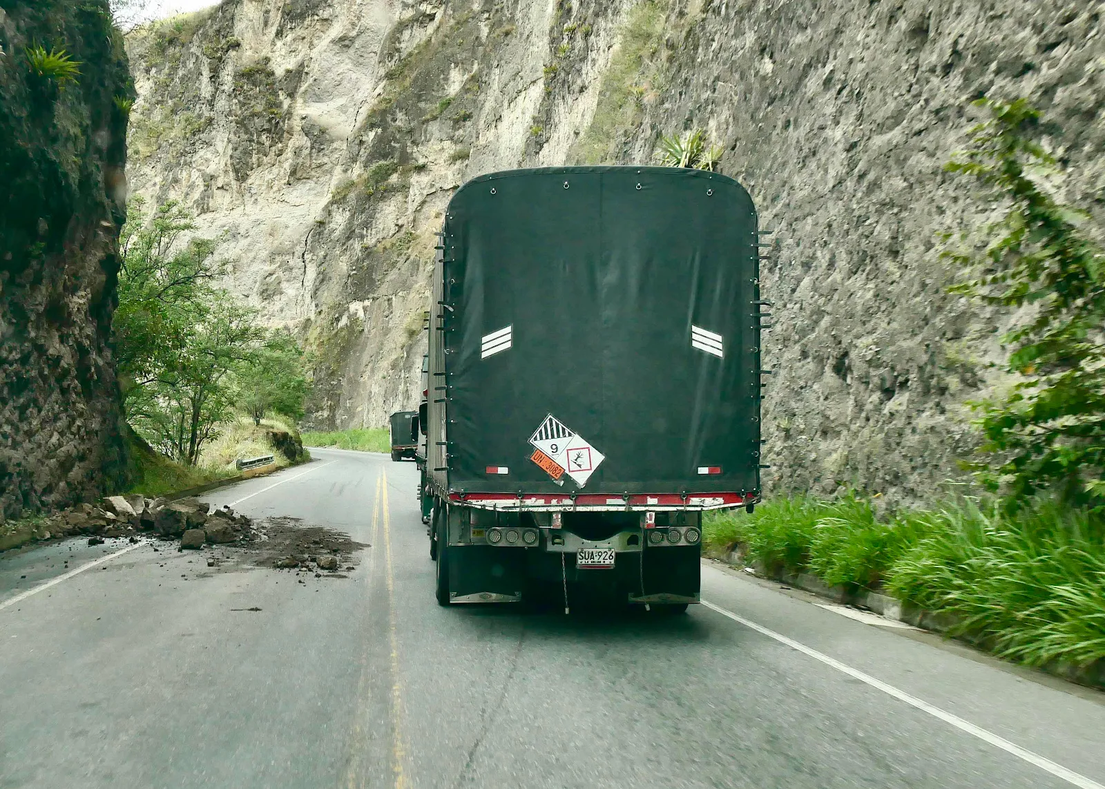
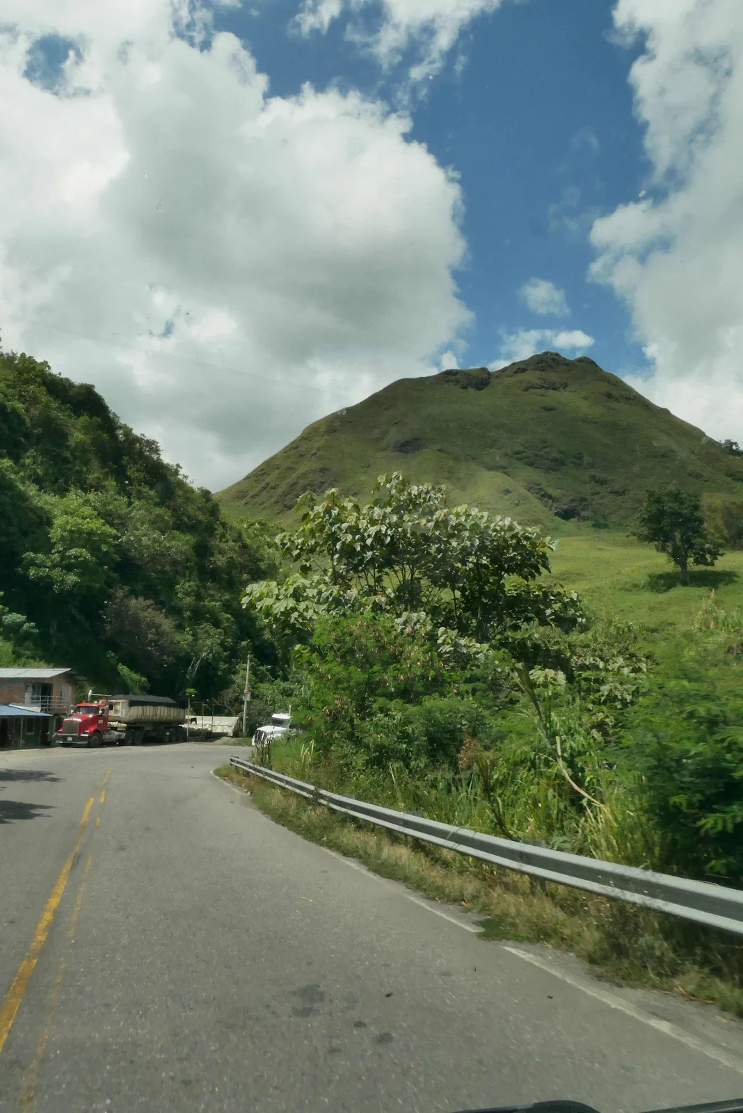
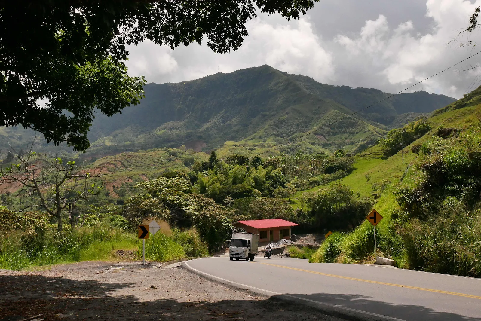
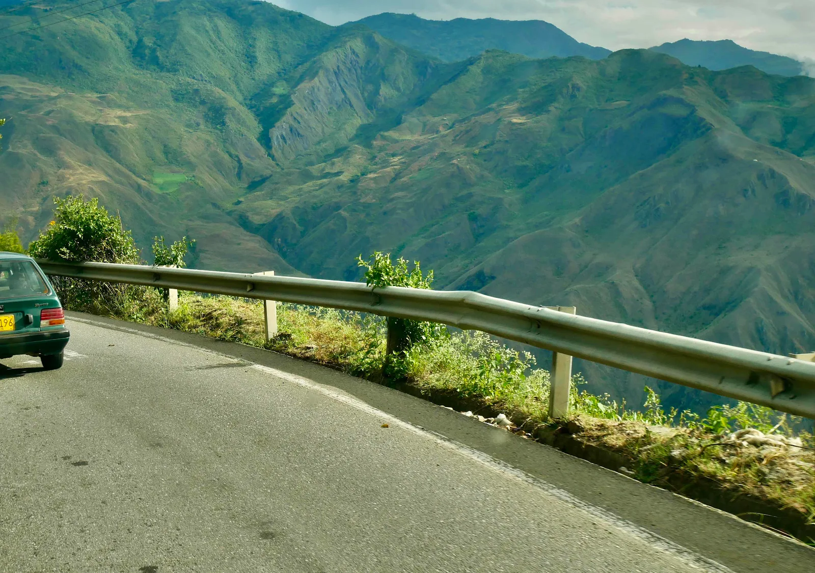
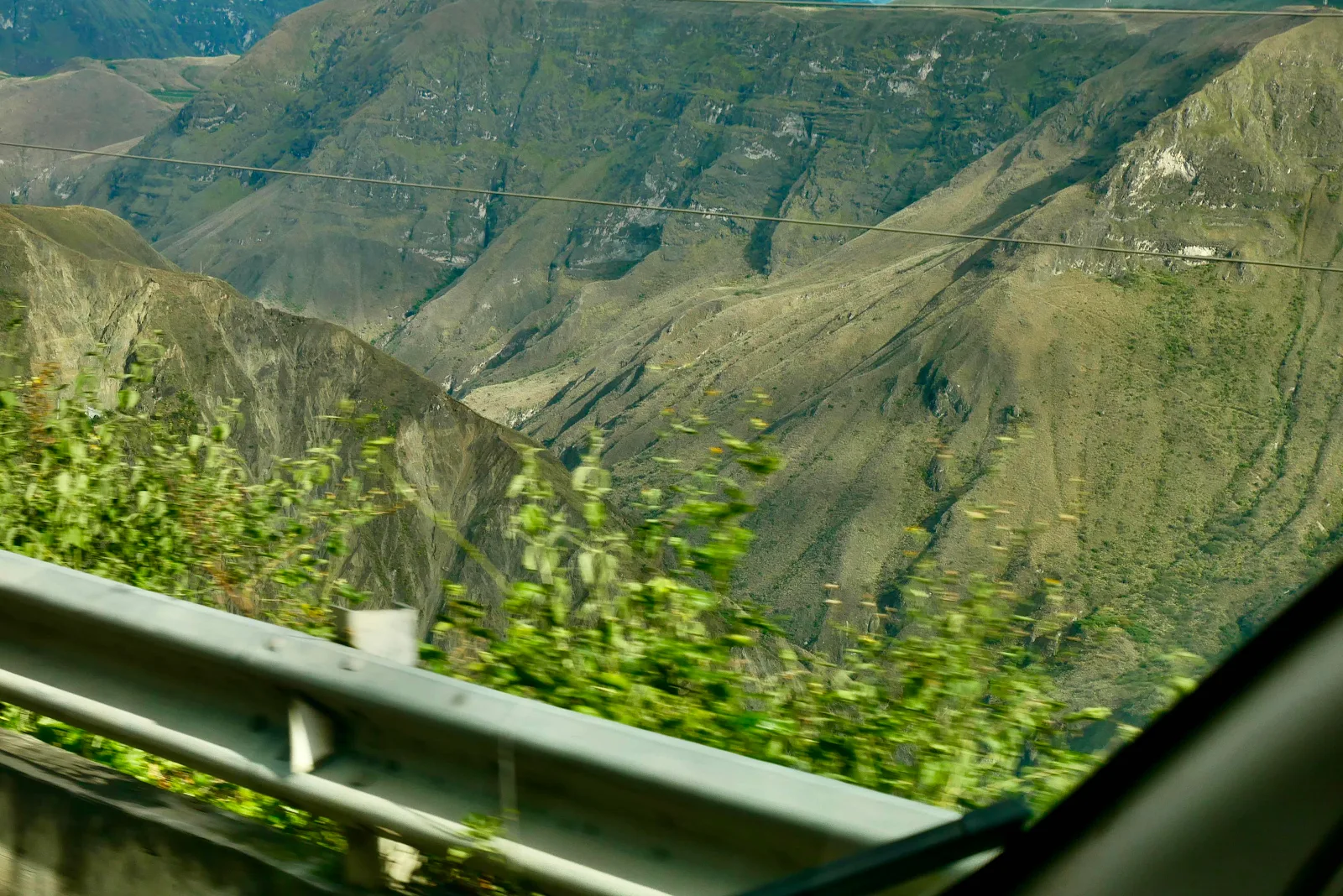
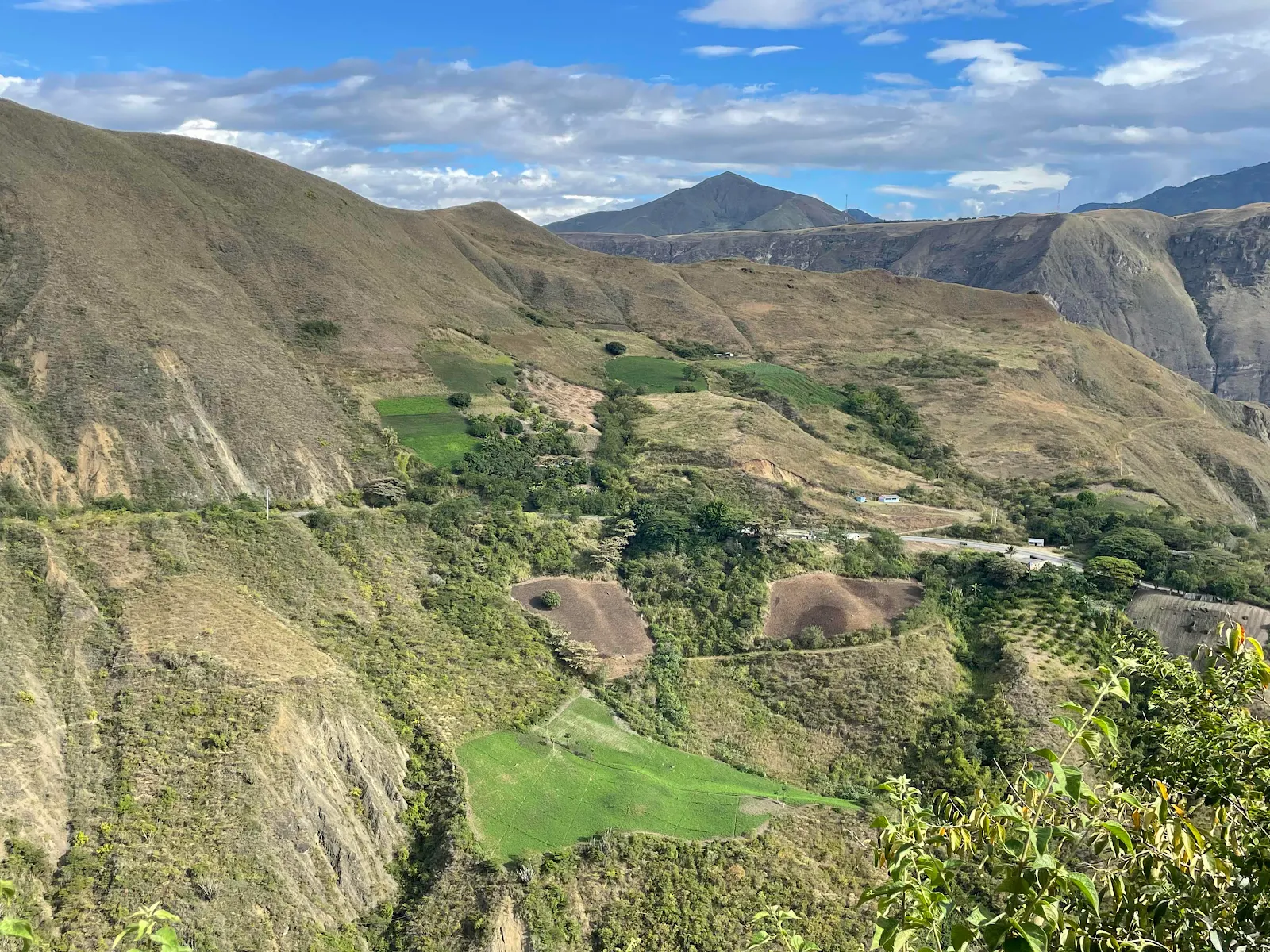
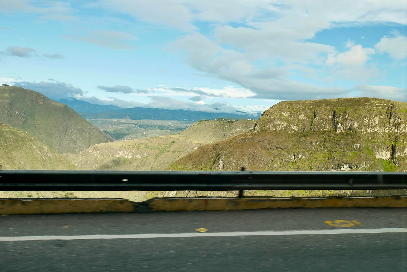
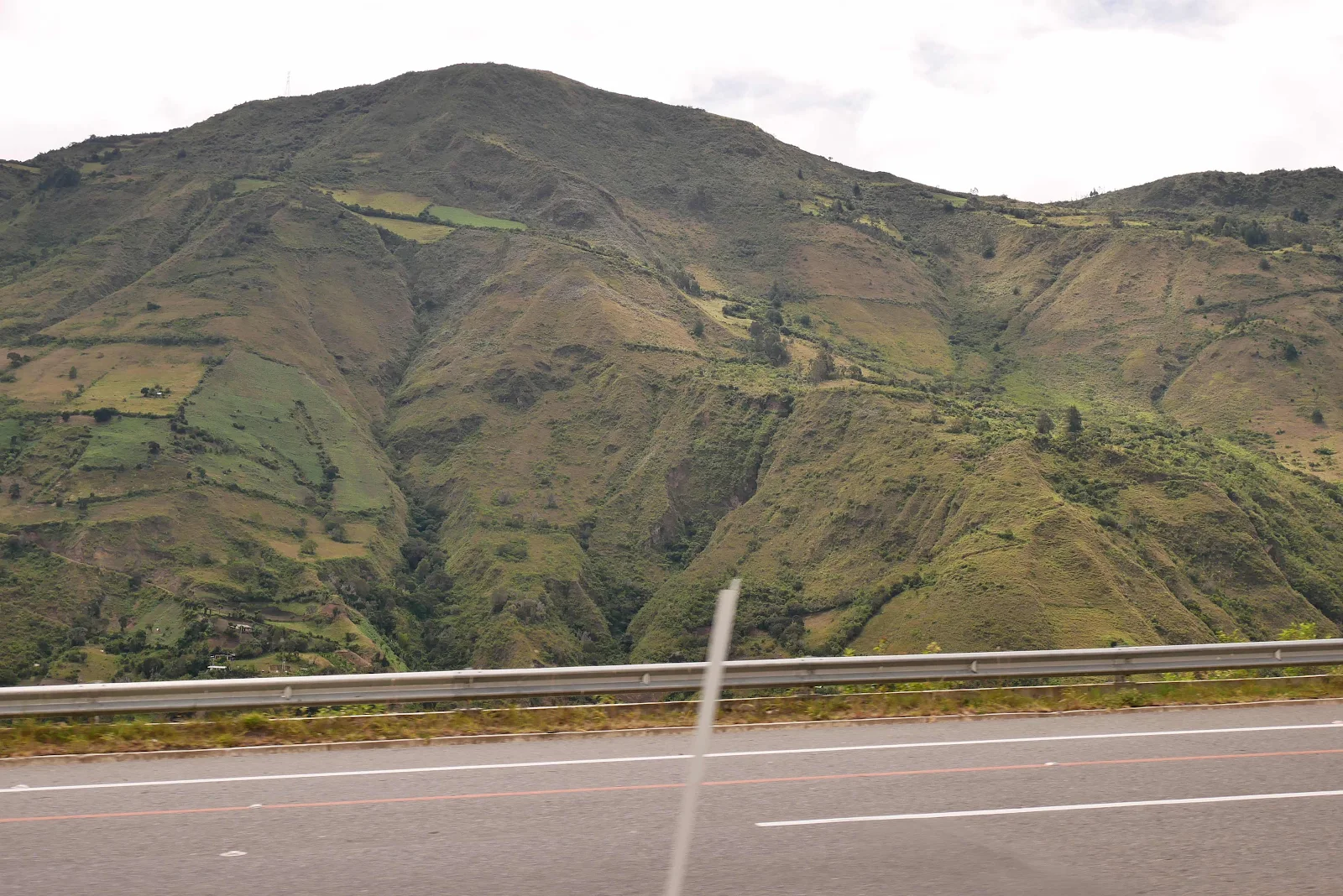
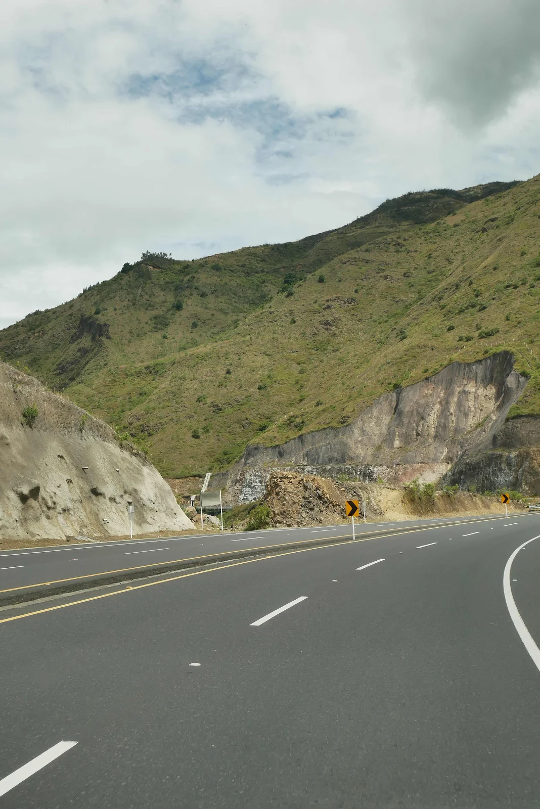
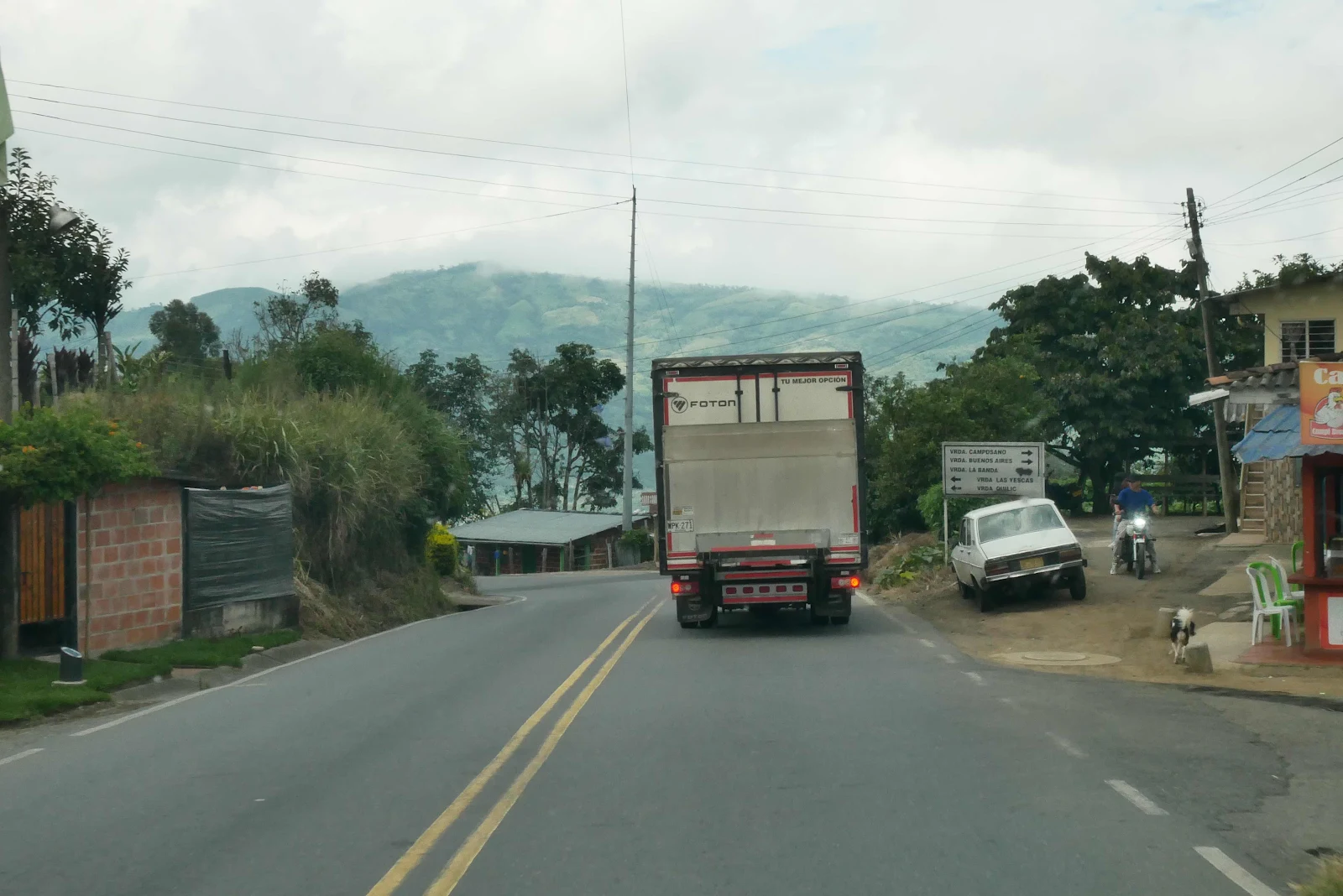
The surprise was the constant up and down of the highway which ran up and over every mountain ridge in its path.
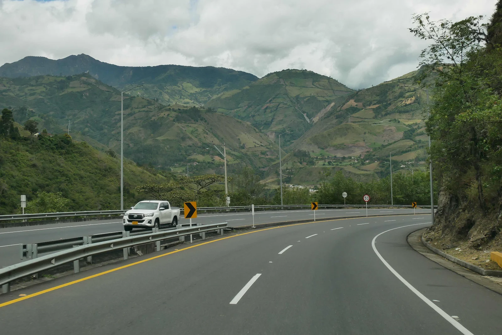
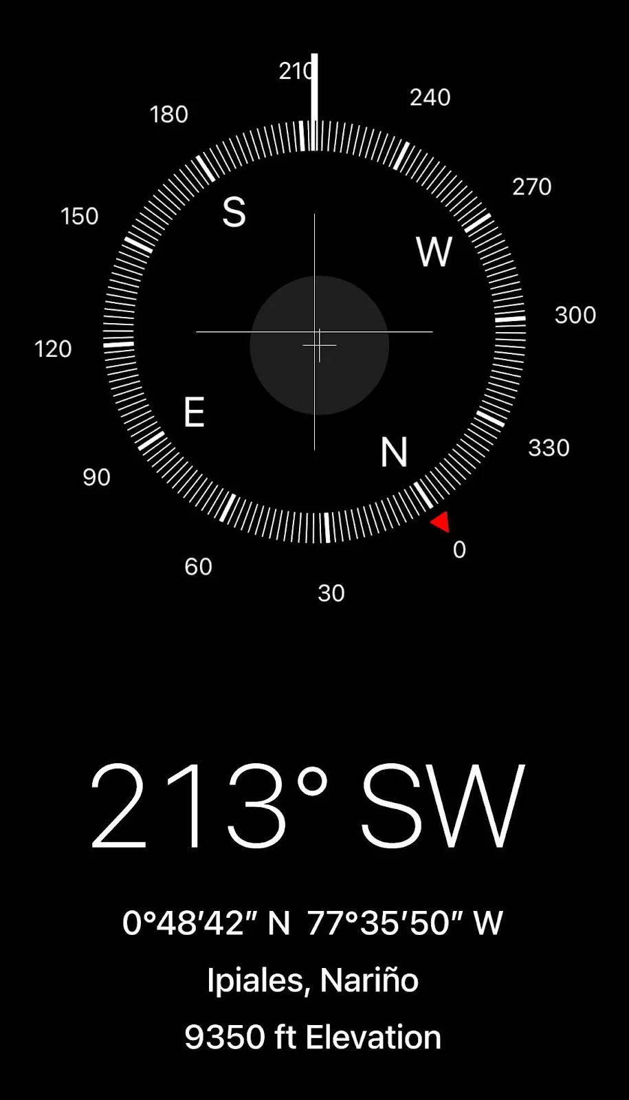
So the route was wiggly and that’s to be expected in the mountains but we started at 9,000 feet and ended at 9,400 feet yet we went up and down all day and not in a good way.
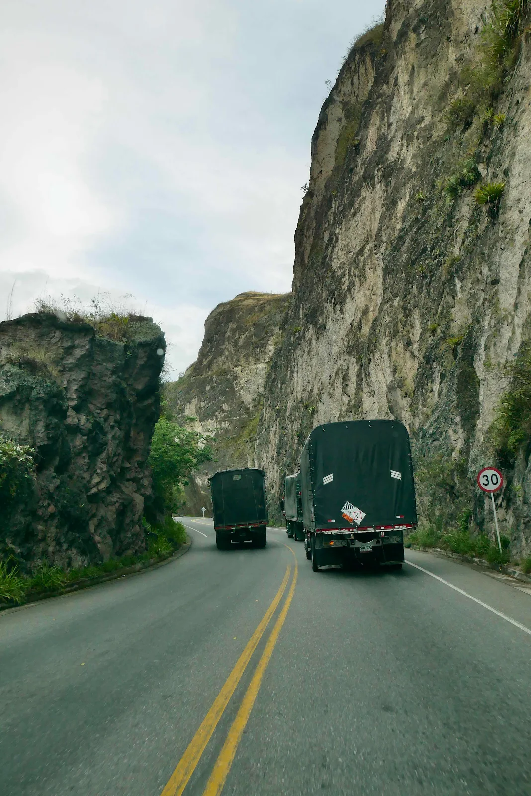
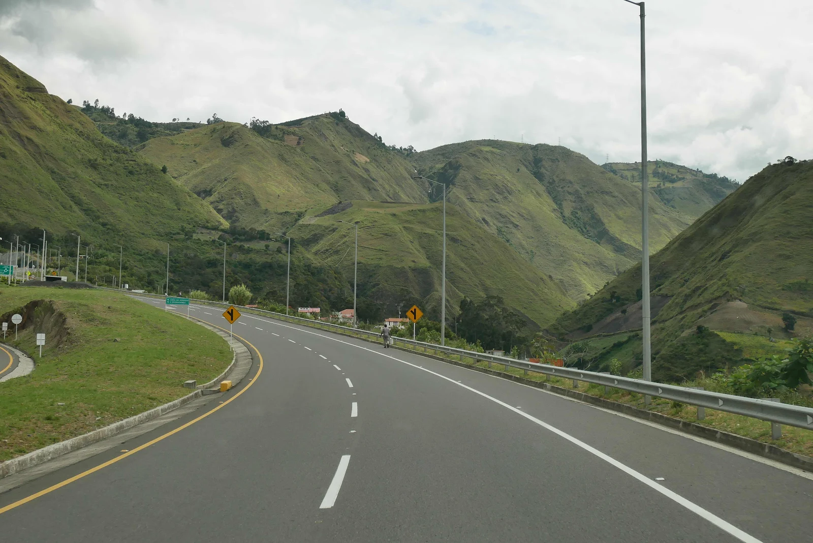
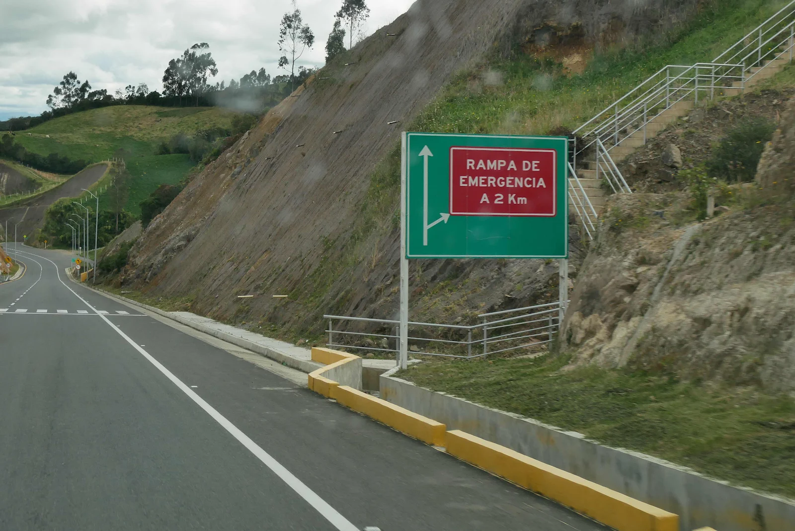
And as usual the grades don’t show in the photos but in the way down I was using manual fourth gear to keep GANNET2 under 50 mph which felt like hurtling into the abyss as we drove down hill at impossible angles.
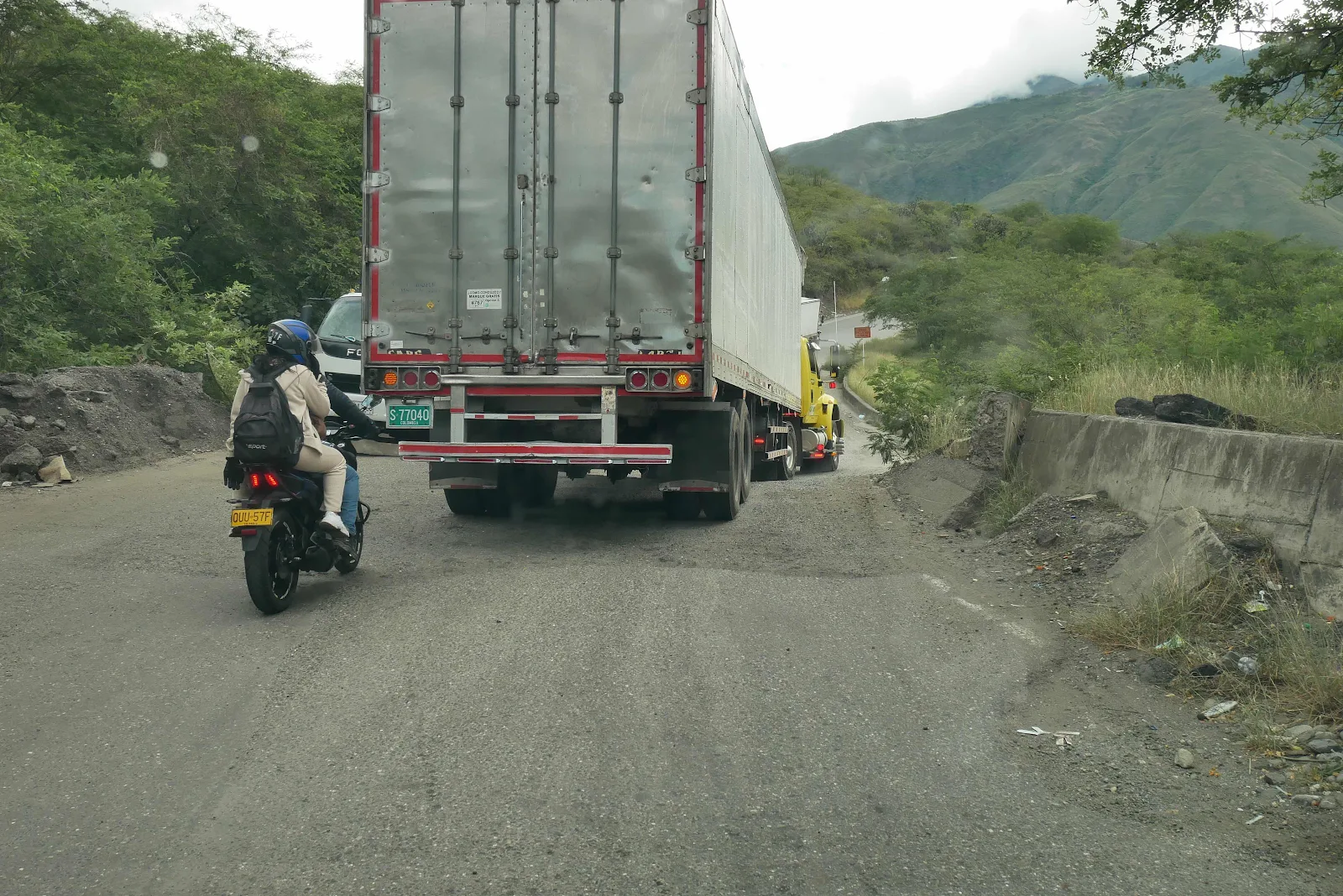
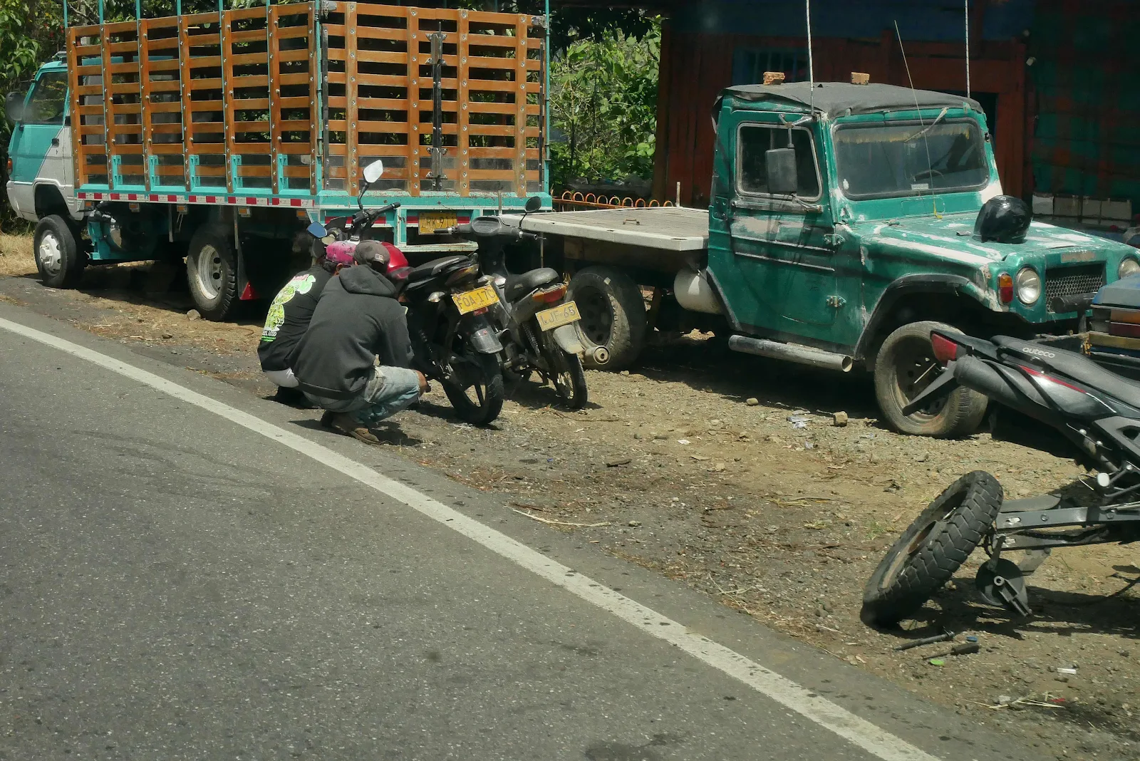
Luckily there wasn’t much traffic and with two lanes we could pass slow trucks chugging down the grades on their engine brakes.
Uphill I pushed too hard holding four thousand rpm and driving up at 8,000 feet at all costs and for the second time ever the temperature needle wobbled slightly. It never does that so I stopped as soon as I found a slight turn out for a u-turn on the freeway. Rusty rolled in the grass in the median while I opened the hood and let the engine idle for a few minutes before shutting it down for twenty. No harm done and perhaps I was being overly cautious but I am not in a hurry to cause problems in these impressive mountains. Layne continued to sleep on the bed in the back.
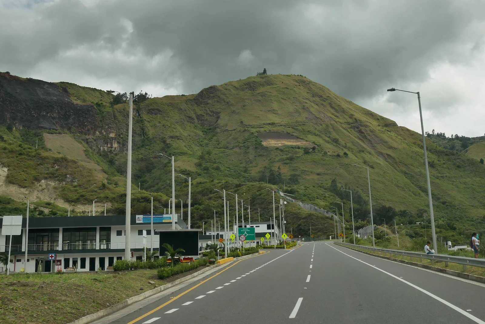
This is the operations center of this impressive freeway:

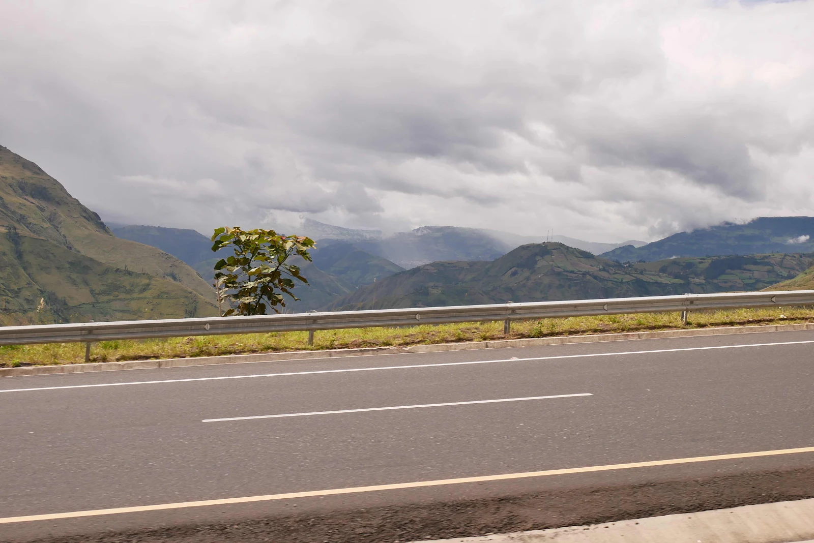

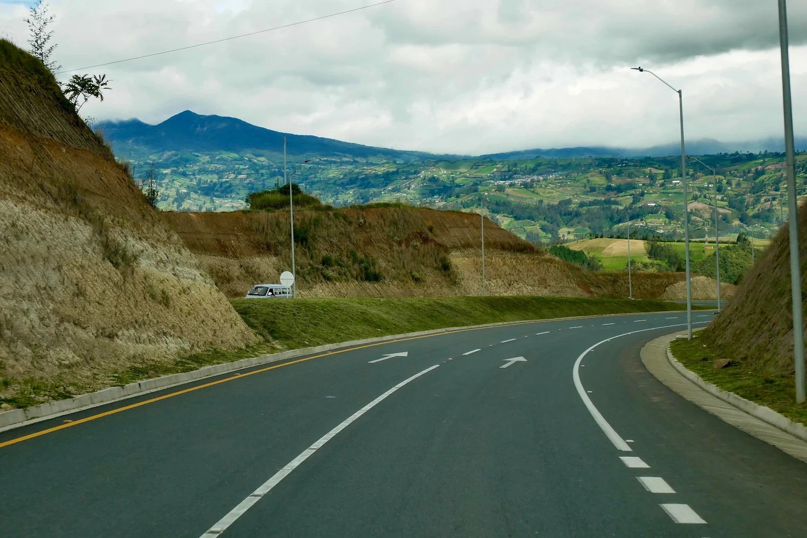
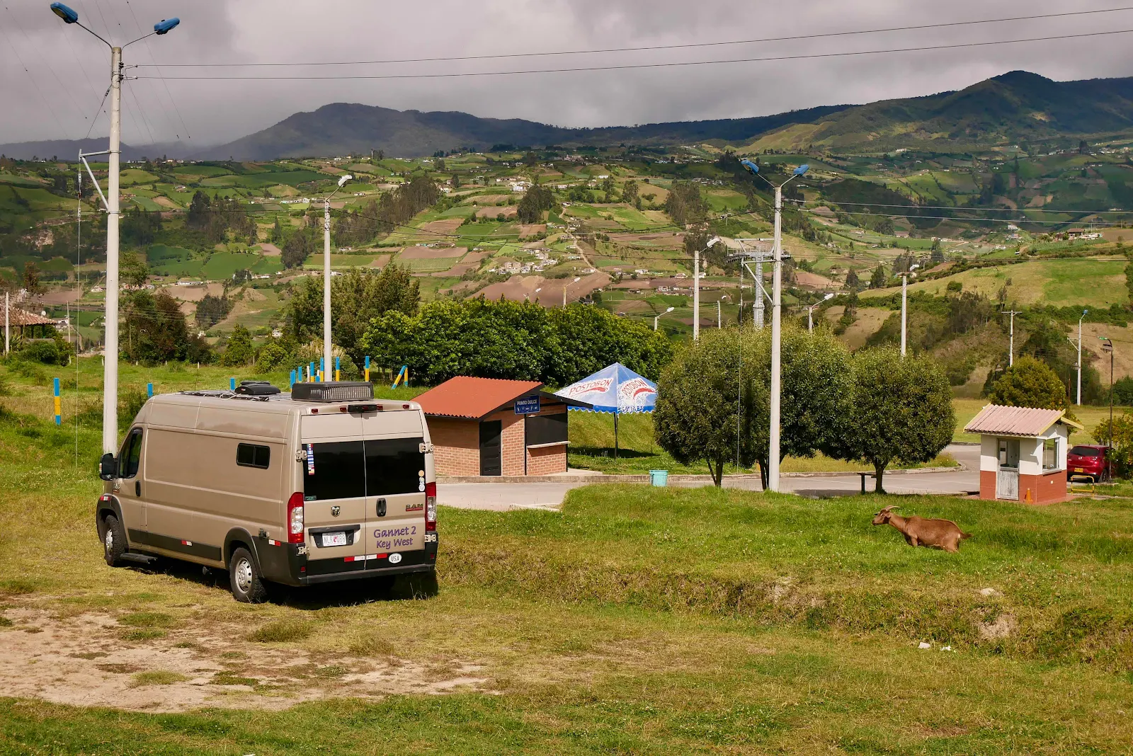
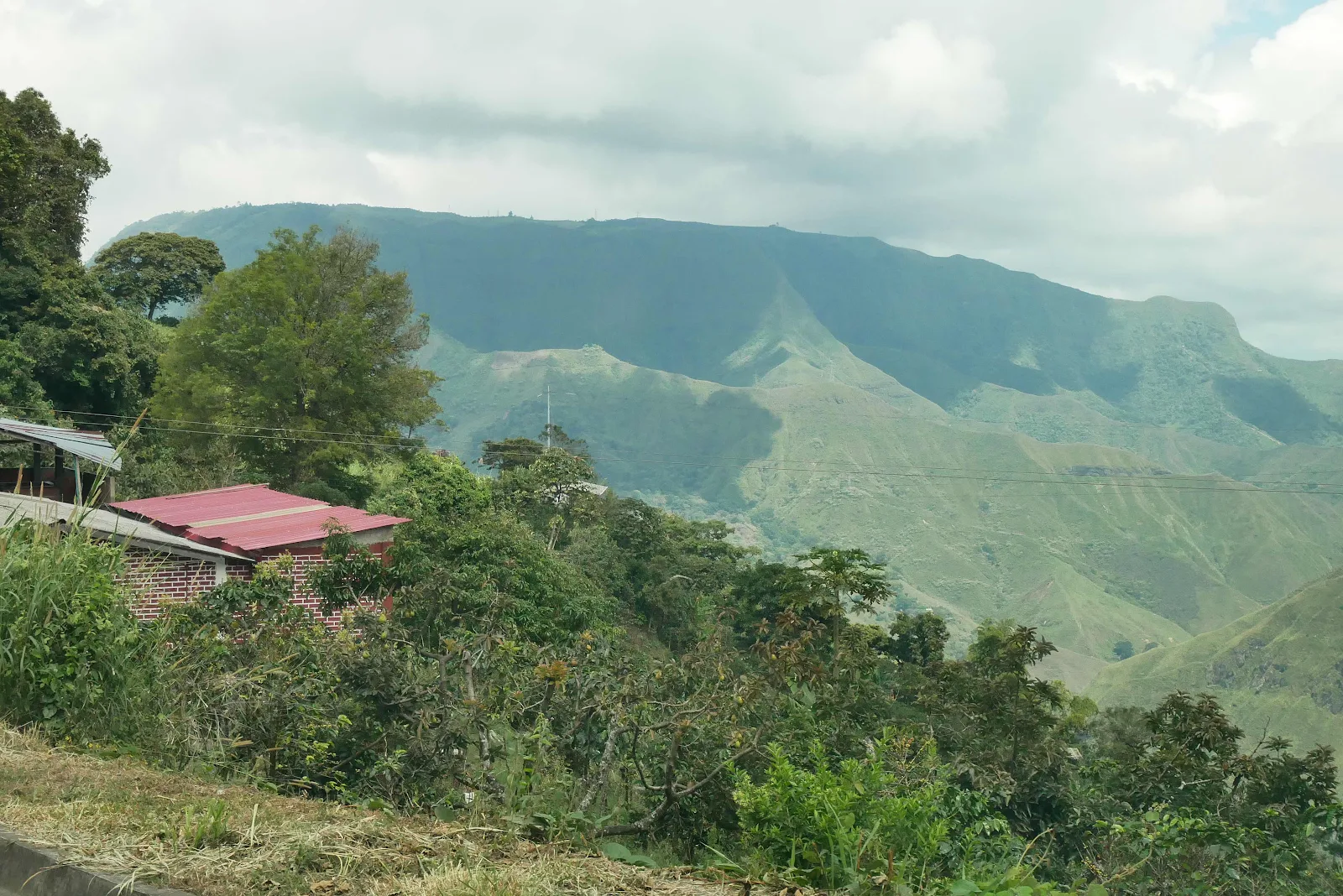
And finally we arrive on the top of the last stretch, the altiplano high in the mountains.
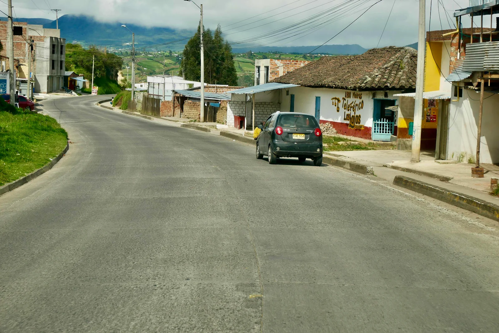
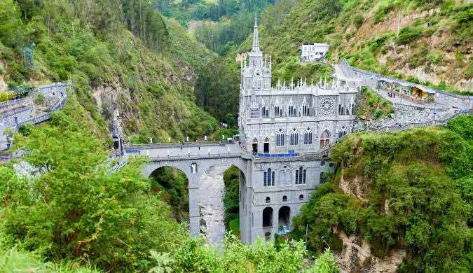
iOverlander users recommend free overnight parking at the cable car station. The teleferico transports people down the canyon to a famous church perched in the gorge at the spot where the Virgin Mary appeared to a peasant girl in the 18th century.
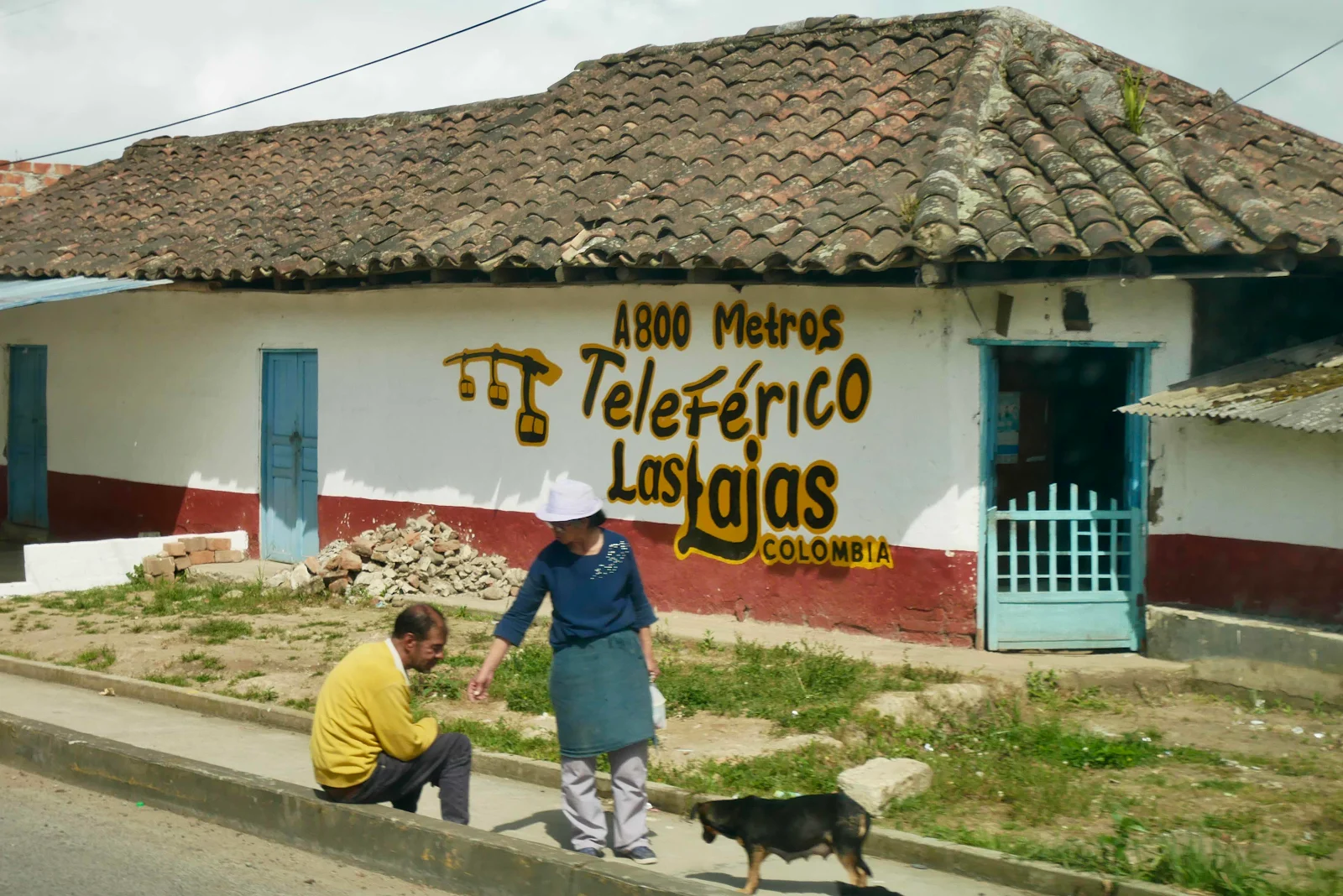
Our luck was out as the cable car system is undergoing maintenance and won’t be working till Thursday. We need Plan B which will involve driving into the village and hoping to find a parking spot not too far from the church.
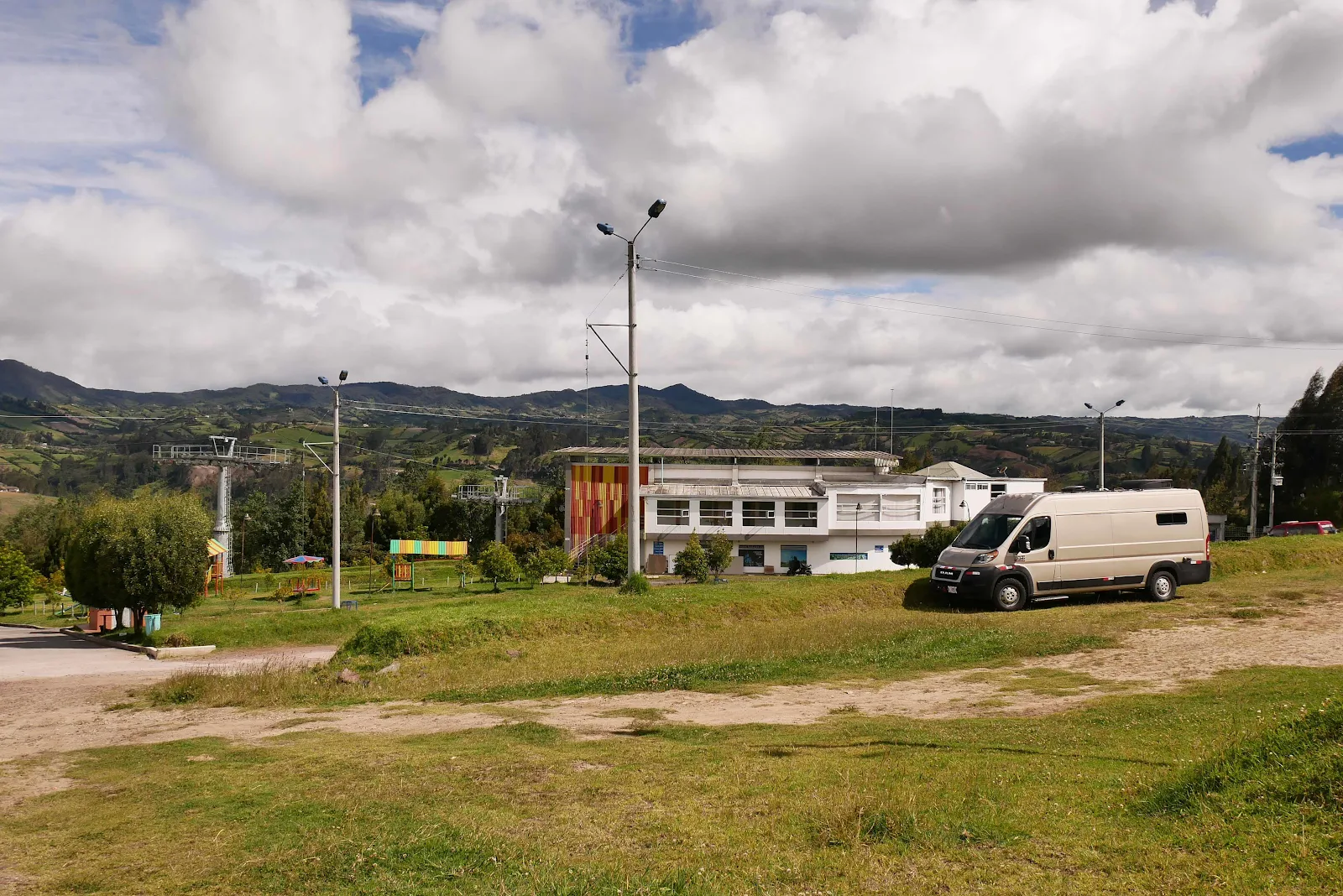
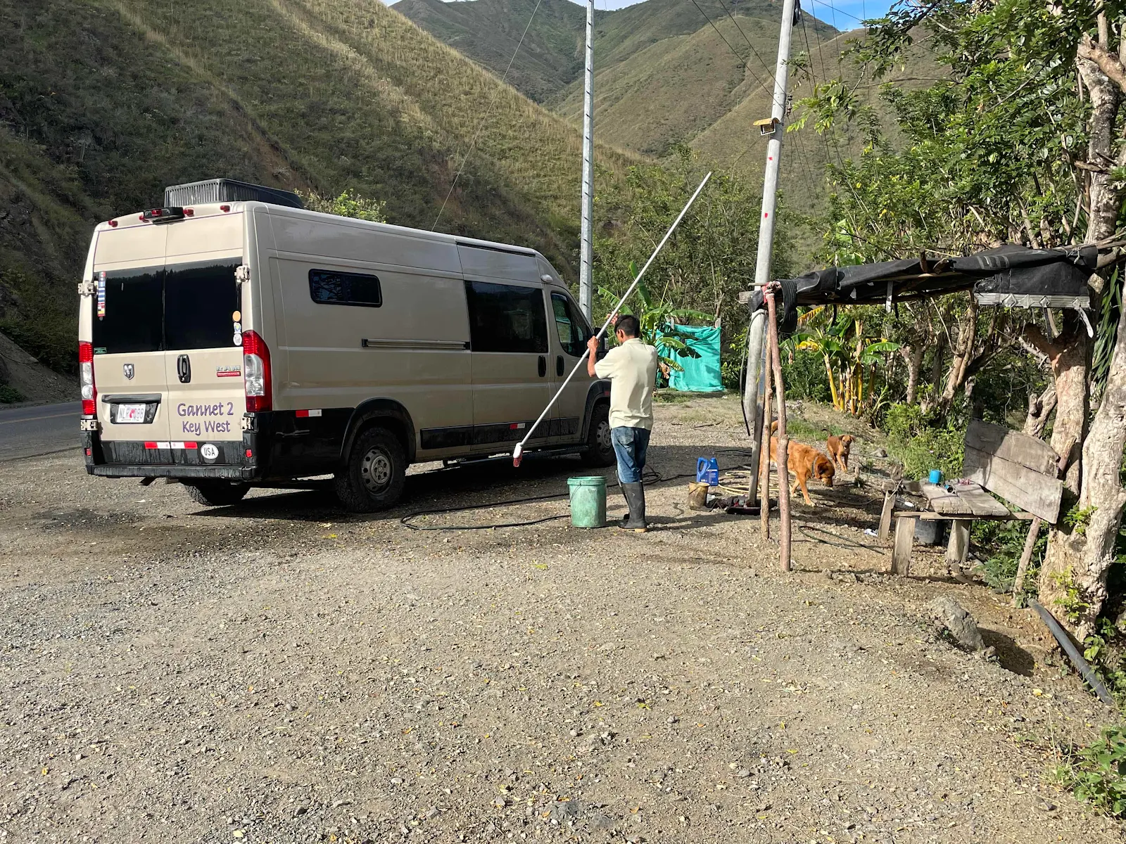
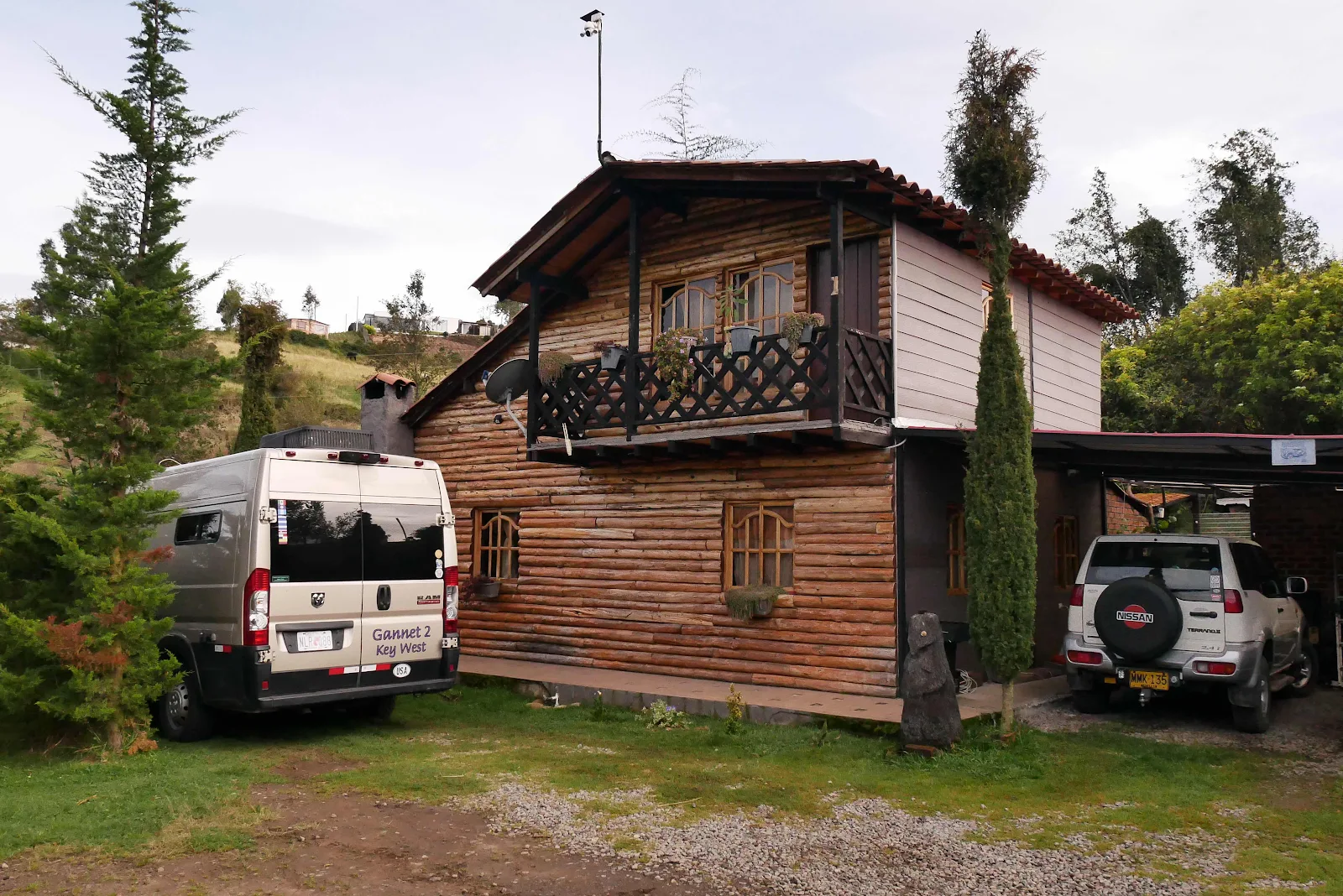
The campground at 9400 feet is c lovely with warm sunshine and a cool breeze and a large grass area to ourselves and two other travelers. Rusty has matured in this trip and he ignored the goats grazing nearby.
This is the church Instagrammed to death and reduced to a postcard. Layne has conceived a desire to see it before we cross to Ecuador so who am I to argue?
By the way I wanted to thank the comment by anonymous who mentioned CPAPs don’t need water to operate. I tried it and indeed it worked fine. At these altitudes in this dry air I’m still going to use distilled water to keep my throat damp but it’s nice knowing I don’t need distilled water as a matter of life and death. Thank you.

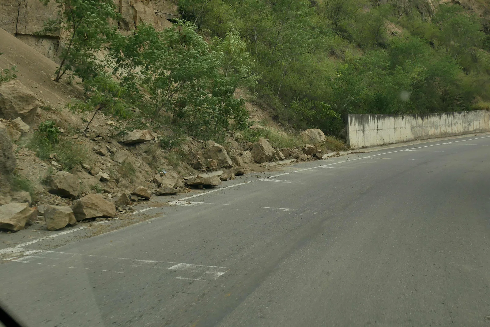
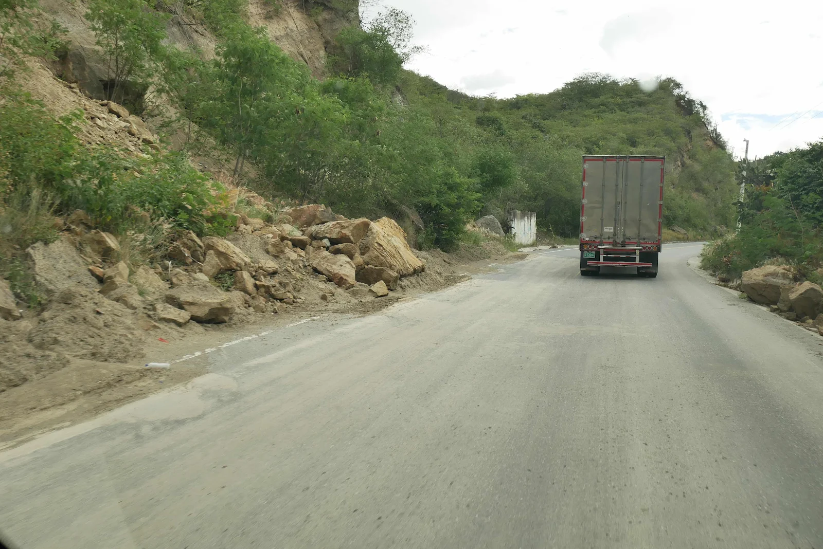
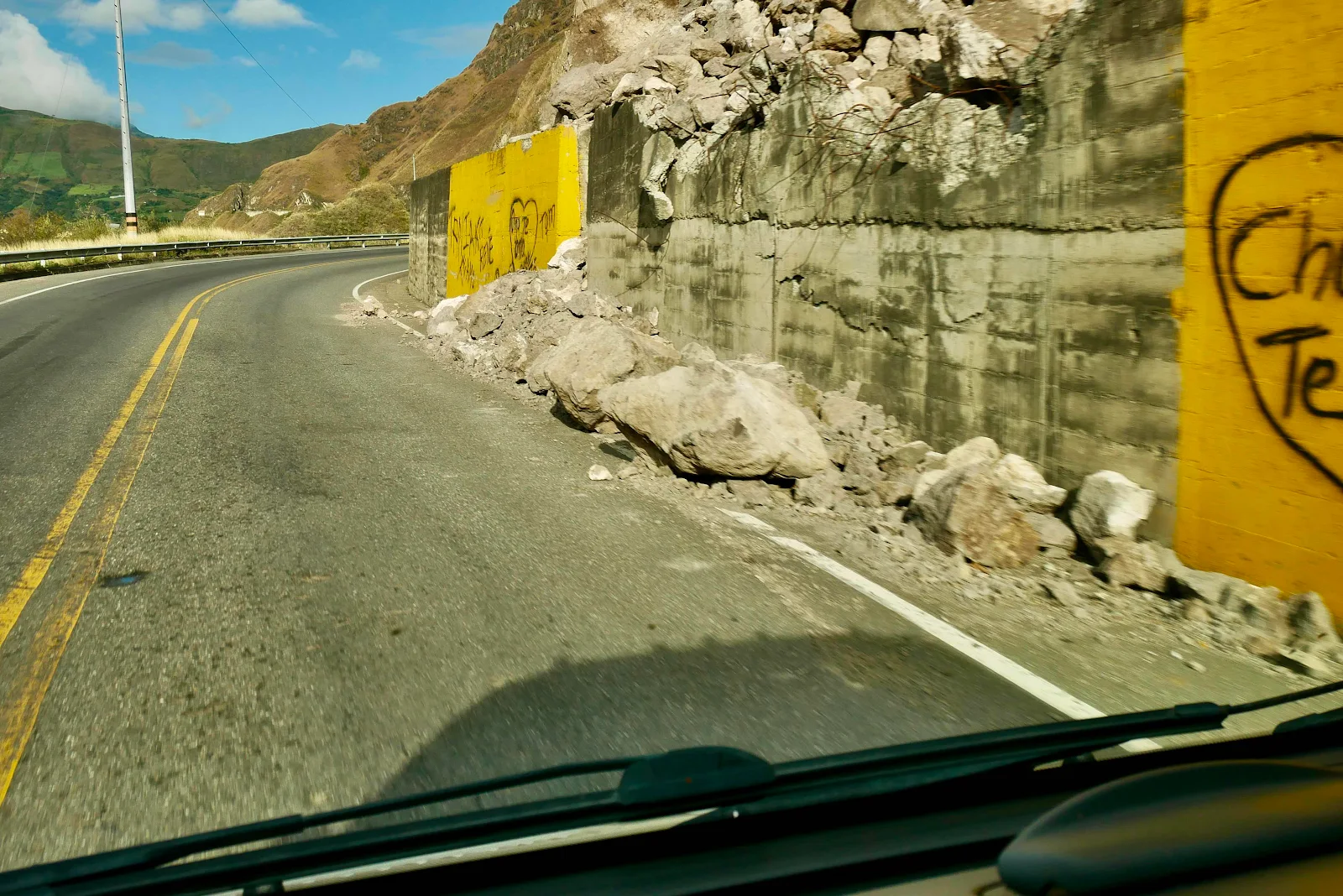
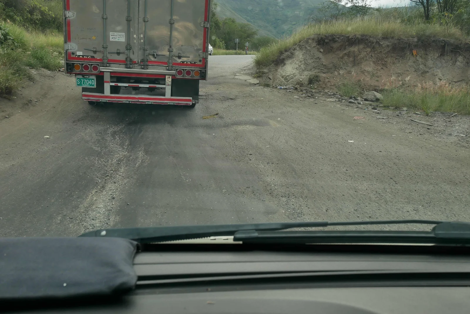
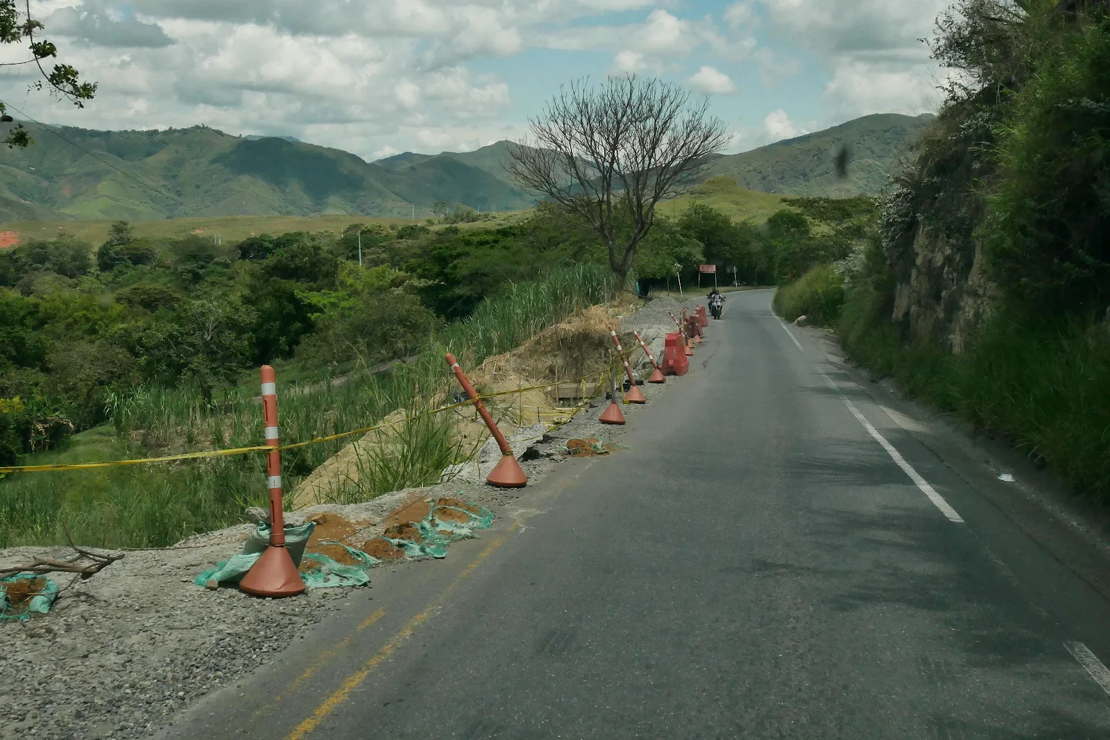
 A couple of years ago heavy rains destroyed the road in a huge mudslide that took months to fix. They did a good job but this is the PanAmerican and around here there no alternative routes. They dug out mud tracks which got slick in the rain and buses trucks and cars could barely move. It was pretty horrible and I only saw photographs. We couldn’t have driven it.