Arizona will illustrate precisely why daylight saving time is a good idea. And yes I know all the facile, glib reasons why no one wants to do it anymore, but just because the collective memory is as short as that of a goldfish doesn’t mean it isn’t a good idea. Why is daylight saving time good? Because in Arizona which would be on Mountain Time if they weren’t goldfish is on Pacific Time right now and it is daylight around 4:30 in the morning. Lying in bed with the back door open overnight I enjoyed cool night air with the air conditioning turned off. We planned an early start so I set the alarm on my phone to 5:15. However an hour before that I spontaneously opened my eyes and to my horror the horizon was lighting up already.
Here’s the thing: at lower elevations the summer sun is too hot for outside work for most people by ten in the morning. To take advantage of the cool morning air Arizona should get out of bed at four and be at work at five. Or out fishing or gardening and by nine everyone should be indoors until late afternoon and go to bed at dark which in these longest days is around 8pm. Which is not to say double summer time like they used in World War Two would necessarily be a bad thing in this crazy desert state but I doubt anyone could get that idea off the ground.

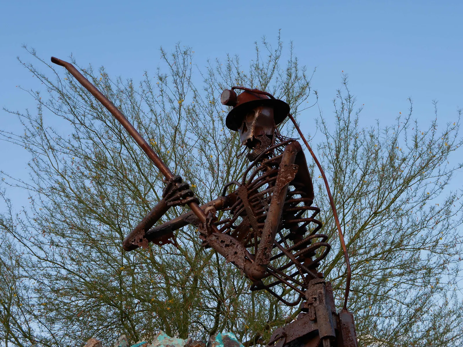
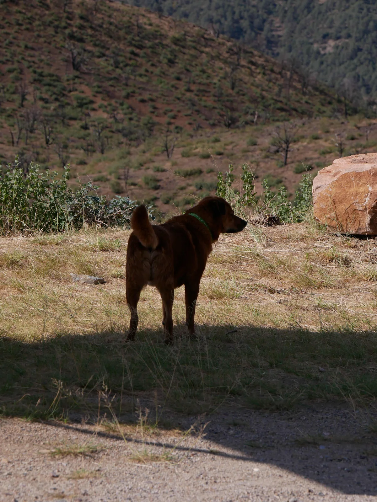
Luckily we are retired and on our own schedule so we get up early and exercise and walk Rusty and do household chores as early as we like to prevent heatstroke and we leave Arizona to go to work as normal at eight and swelter their days away. But it is weird to watch, an entire state sleeping away the only bearable hours of the day. Anyway we were driving through Mammoth around 6:30 after a fretful night’s sleep. It grew cool around ten and we threw open the doors to the cool night air. It turned out we were sleeping in a park dedicated to the memory of miners and their families. The Mammoth copper and silver mine got its name from the vast quantity of ore they located in 1870 or thereabouts. They created an aerial tram and sent the ore over to the one street town where they built a smelter to process the ore.

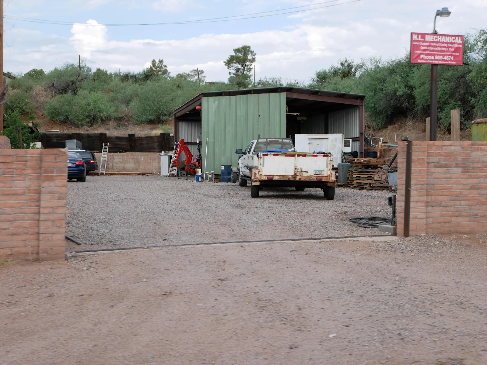
Then they filled the truck with water and sent it across the river to supply the miners in their isolation. Today the town is a wreck as far as we could see, poverty and trash lined the Main Street. I have to say I was a bit surprised as we saw a sign to Main Street on the Highway and we dutifully followed it, myself harboring a dog walking and photo taking fantasy. Not here.


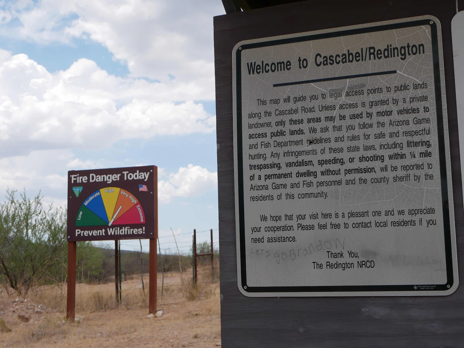
We drove through and decided to seek more salubrious surroundings up the road. The park made for a nice overnight stop and despite some traffic noise and one drunk guy careening up the street on foot talking to himself around nine pm we spent a peaceful night. The highway sign makers have a sense of humor, no doubt:

The entire landscape here is made of rock, rolling mountains sparsely dotted with small green bushes hiding from I mediate view the true nature of this desert landscape. Mesquite provides a little shade and lives on no water so even though the hillsides are green they are still traditional desert, inhospitable to the ill prepared.
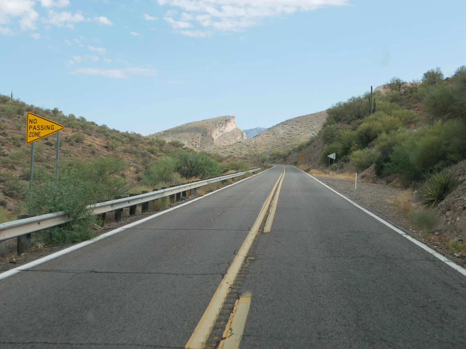
We stopped at a mountain overlook and I stepped out of the van into the arms of the sort of historical marker that makes my head spin. I tried to imagine Brigadier General Stephen Kearny with an “army”of three hundred men led by the legendary scout Kit Carson making their way over this pass in 1846 on their way to win California for the US. The whole story is far too complicated to tell here but Kearny’s short life (54 years) was packed with wars alarums and political imbroglios from the War of 1812 to the first US occupation of Veracruz where Kearny got the yellow fever that soon killed him, lacking as they did he blessings of vaccination. His biography makes a good read, but all he got as a memorial in California like his boss President Polk, was a street named for him in San Francisco unlike his colleagues and rivals Frémont and Sutter and Stockton much more widely honored.

Once again Layne managed to surprise me by suggesting we stop a while and make tea, so we did. Since our travels through Mexico she has embraced the concept of slow travel. These days we find ourselves able to approach sunset with no concerns about where to find a place to park and sleep. Most new van lifers start out worrying about where to sleep and so forth but we have left that anxiety in our mirrors. It was never a real worry for us, however nowadays we are more likely to enjoy the challenge of finding somewhere to sleep and take satisfaction in being successful, much like our impromptu stop in the sad little town of Mammoth. El Capitan Pass, 4900 feet and lovely and cool:


And no, I don’t miss riding a motorcycle, not yet at any rate. Gannet2 and all her comforts suit me just fine.


From the pass we wound down the mountain side to Winkelman, an intersection where Highway 77 joins Federal Highway 70 and takes you down the valley even further to Globe, the county seat of Pinal County at 3500 feet. Elevation I have suddenly found is as important in summer as it is to anticipate winter snows in the mountains. Life lived in a van puts you close to nature which means using nature to cool or heat your life, and elevation equals cooler temperatures. Yes, I know it’s obvious but suddenly it becomes quite important!

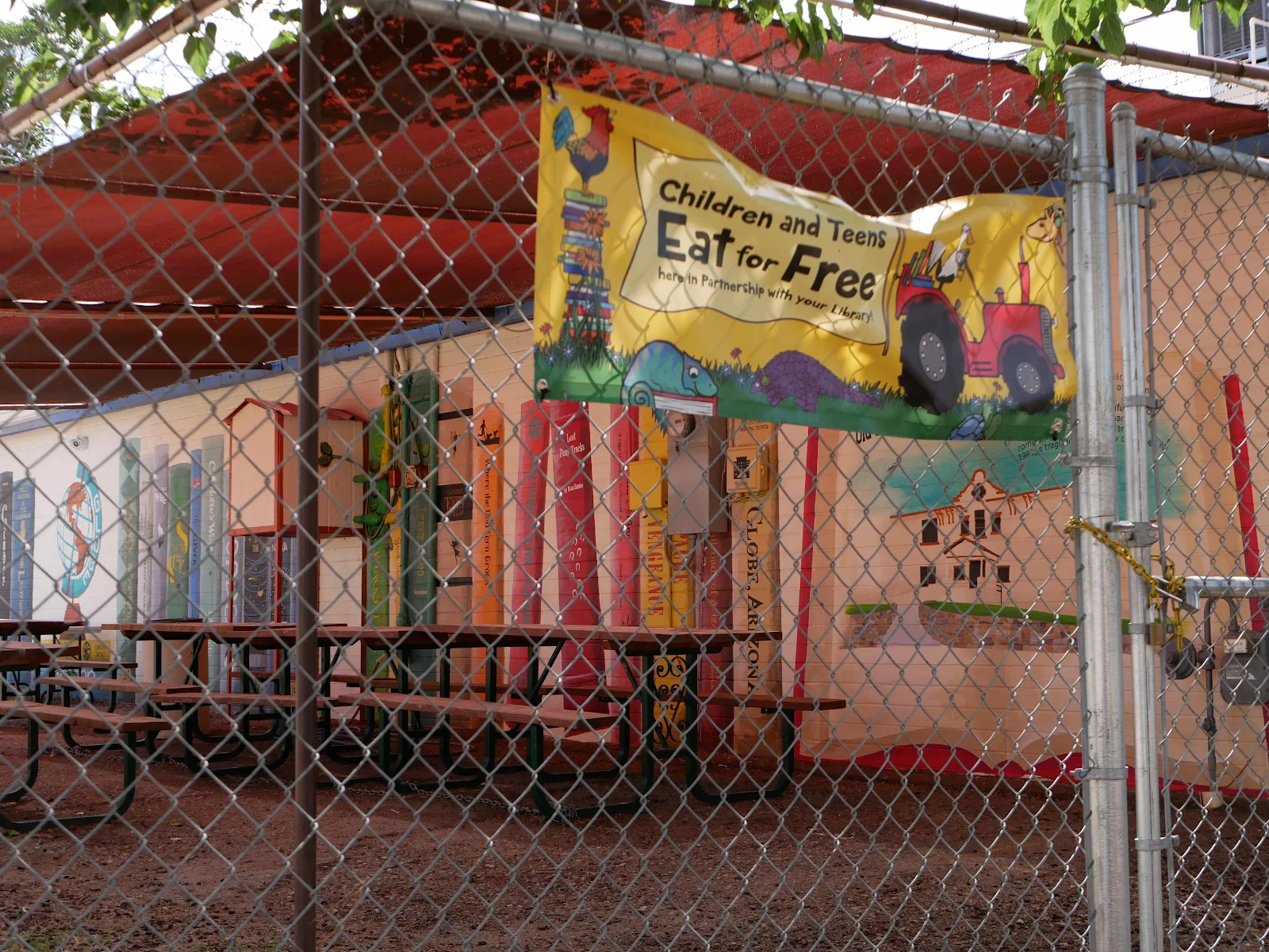
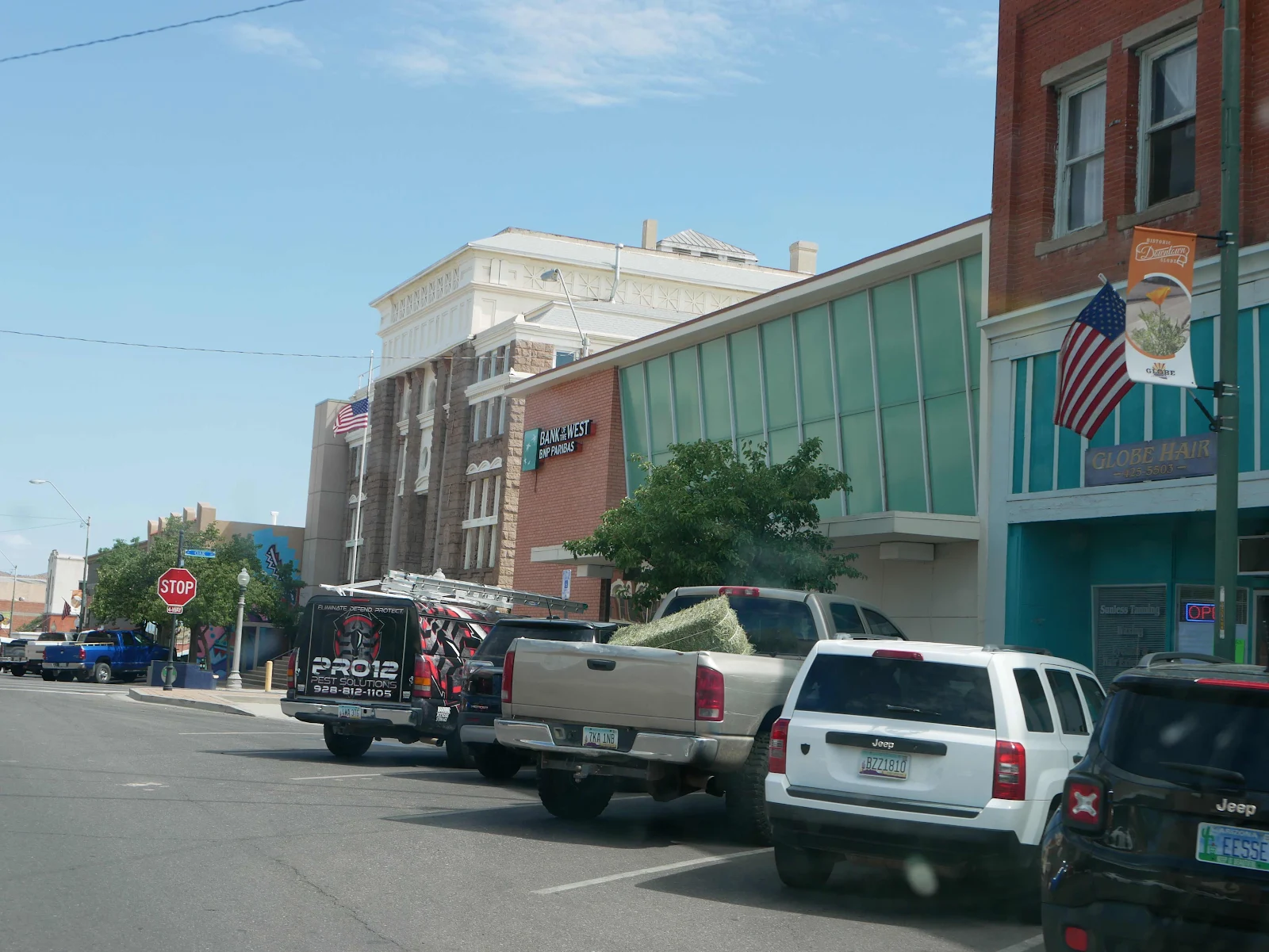
We stopped in Globe where Safeway provided some fresh fruit and vegetables and milk and more importantly a reason for Rusty to get a quick walk. Globe was apparently named for a lump of silver that was mined in the area and looked like a globe. Fair enough I suppose in light of the fact people named places for the oddest and most apparently irrational reasons as they created too many places to name. Globe is supposedly becoming a destination for outdoor loving gentrifiers but it didn’t grab us too much, not least because we restrict ourselves from indoor activities and groups to continue avoiding Covid. I think there are prettier towns though perhaps in winter when there are people and activities it might be more appealing than the summertime rolled up sidewalks in the heat. We are choosing not to sit indoors in restaurants and coffee shops which self imposed Covid rule limits our ability to mix it up and get a proper feel for a place. especially if it’s too hot to sit outdoors. Mask wearing in Arizona is non existent and it’s still a shock to the system after Mexico where Covid is monitored, measured and taken seriously by the population. With Layne’s immune deficiency Mexico is much more suitable ironically with everyone masked and lots of outdoor seating. Globe, as glanced:

I had the thought that instead of buying Twitter Elon Musk could fully fund every hunger program in the United States.


Much to our own surprise we had developed a plan for the rest of the day, as by now it was just past ten in the morning and we didn’t have far to go. Arizona’s largest lake named for Teddy Roosevelt lies to the northwest of Globe and is apparently a place of many visitors in winter and on weekends. On a Tuesday in June with a forecast afternoon high of 94 we lived in hope we might find a site Ming the 350 spots set aside for camping by the National Forest Service at Windy Hill. Layne saw a lot of campers as she peered down from the road, but I saw a lot of white roofs on picnic table shelters and for once I was right.

It may be we don’t have this place exactly to ourselves but if there is someone here, other than the camp host near the entrance, we haven’t seen them. We paid our senior ticket $12:50 - half price - for a campsite and had our pick of spots. We chose one overlooking the water hoping for an unobstructed breeze which is what we got. It’s not the time of year for fire rings and they made that message abundantly clear:


The lake as seen under the noonday sun. I am looking forward to some of the spectacular desert sunsets we might get to enjoy.