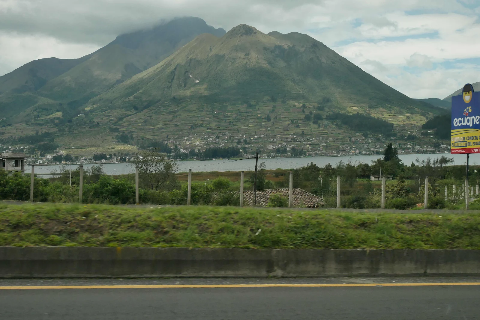
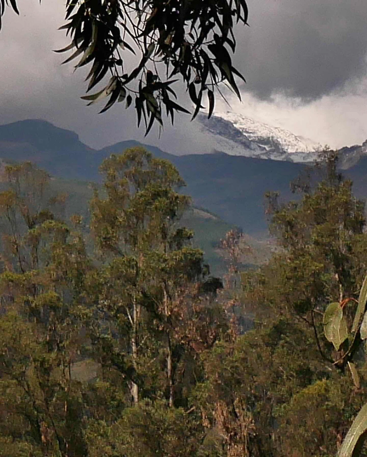
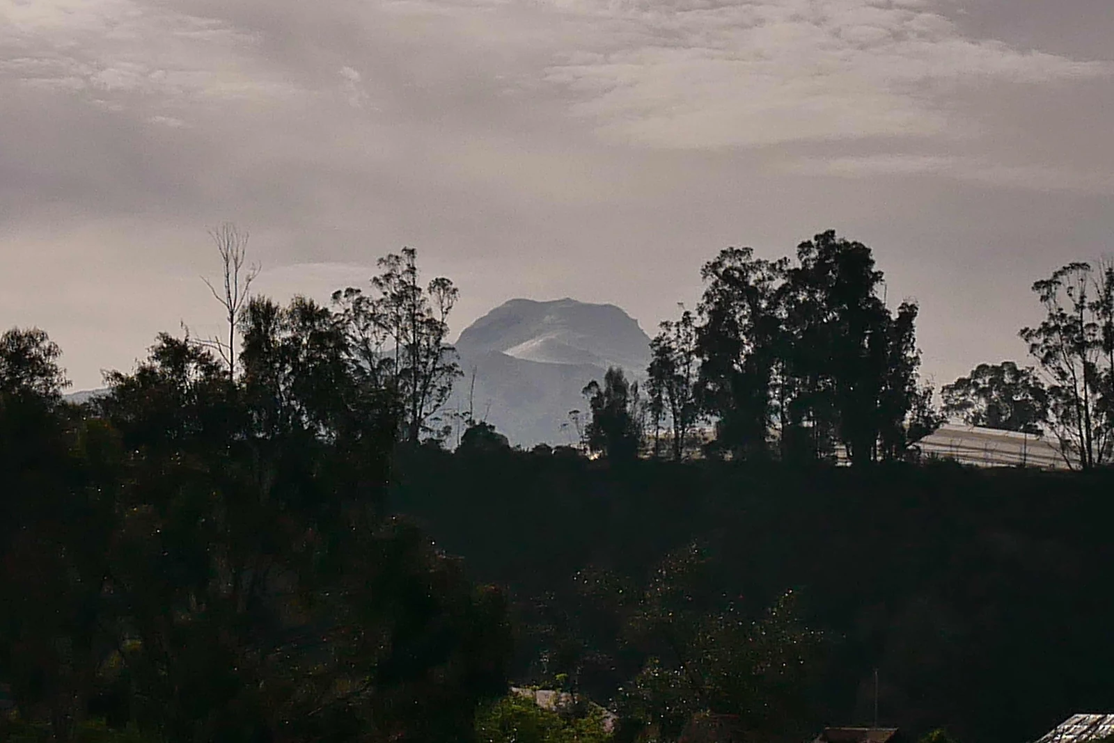
Yesterday we drove past Cayambe Volcano which at 19,000 feet or 5800 Canadian feet is the third highest in Ecuador and the one that actually sits astride the equator, but which also has snow covered slopes and ice flowing down. This country is all fire and ice.
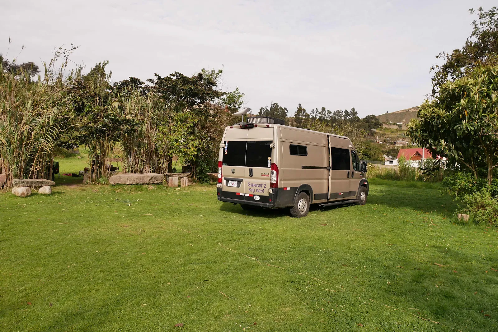
We slept a mile into the northern hemisphere in a campground off the PanAmerican operated by Valentin who lives in retirement close to his sons and greets campers into his field.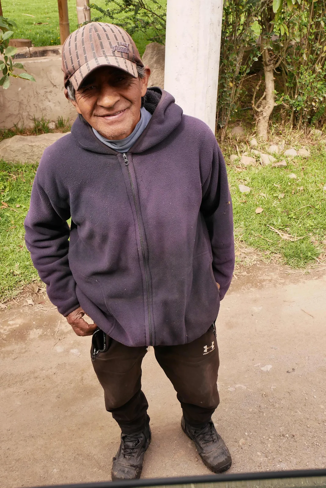
There were no sand fleas and after dark at 9,000 feet it got cold and silent. It was a good spot and for $10 we were quite happy there.
There was a bicycle tourer behind the hedge and I offered to have a chat but he declined so I have no photograph of him, no biography and above all no inspiring notes to pass on about the always fascinating yet intriguing life one lives on a bicycle.
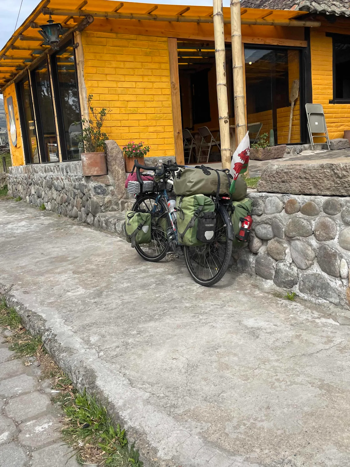
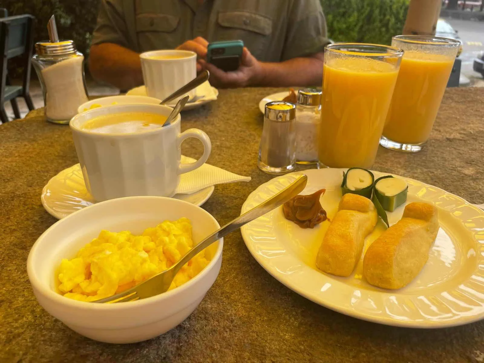
We saw him later at the cafe owned by Valentin’s son where we had breakfast but he was locked away in his silence so there it is.
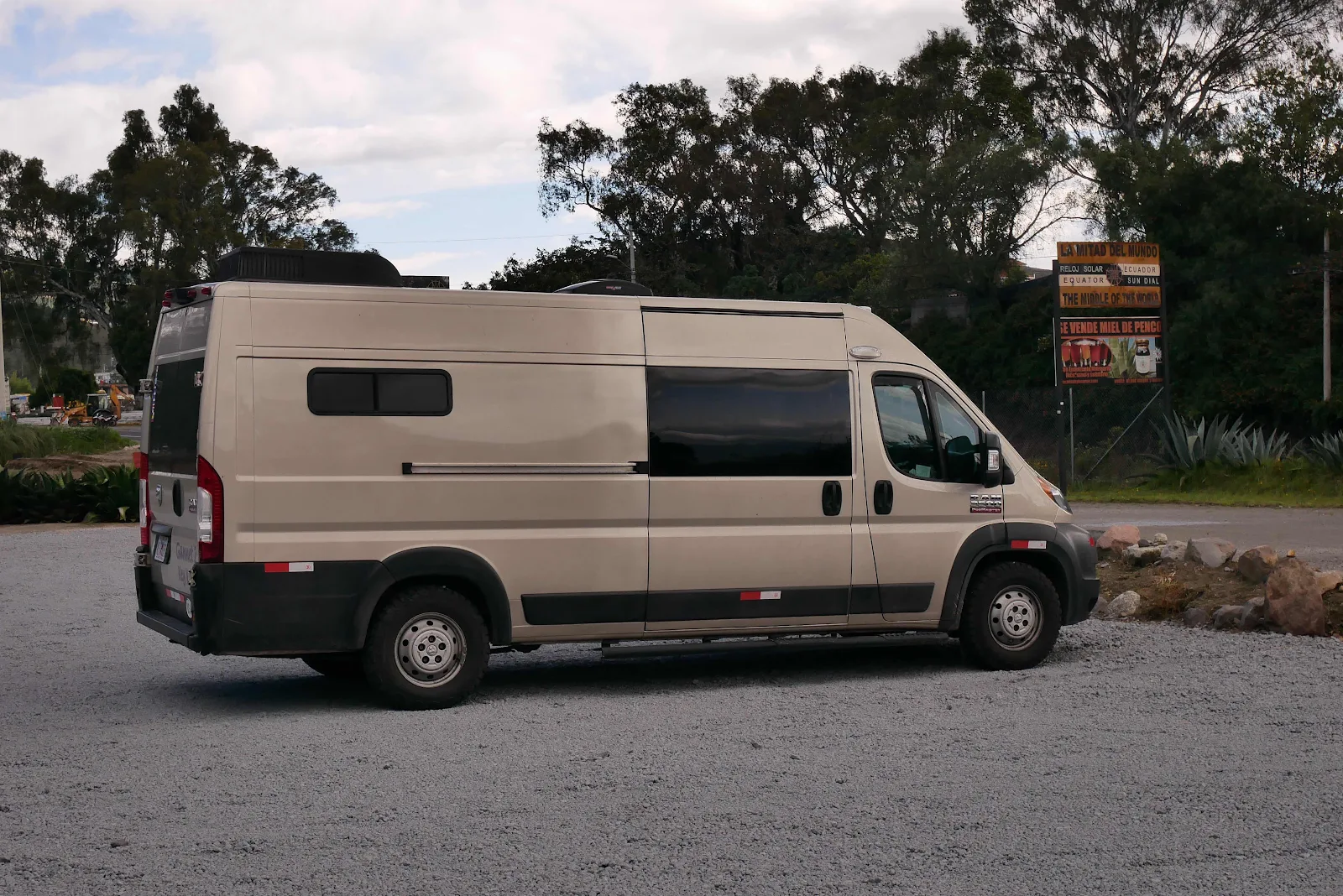
I feel like there were stories there but not everyone wants to tell them. I thought about him a fair bit as GANNET2 took us effortlessly up and down to our next weird destination: an inhabited crater.

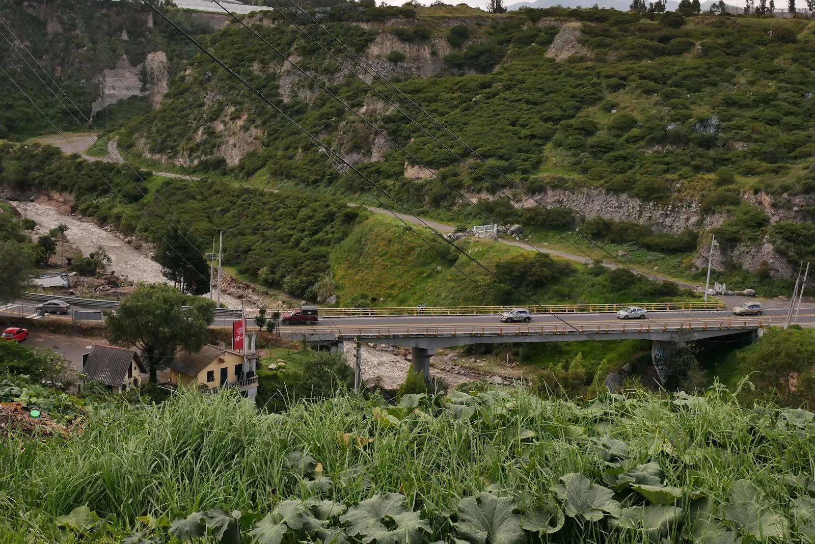
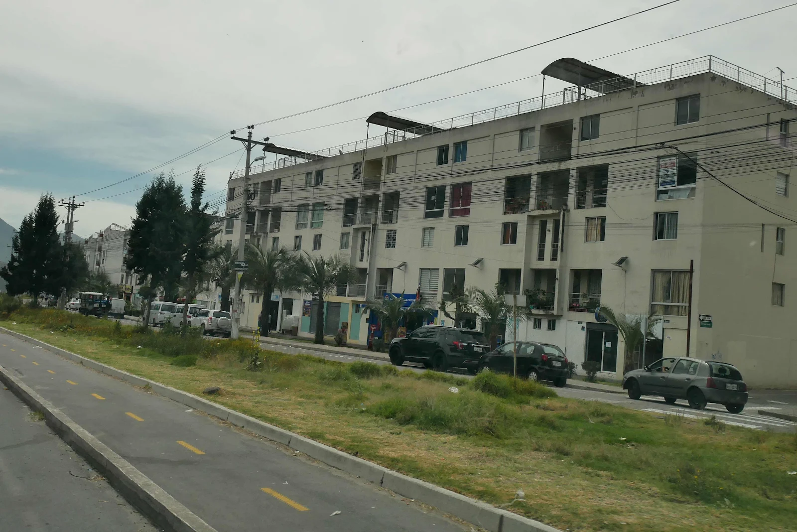
The PanAmerican Highway that leads into the northern edge of the capital city of Quito is a wide smooth modern freeway except it goes up and down mercilessly.
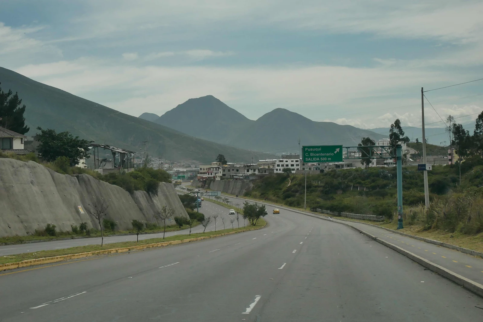
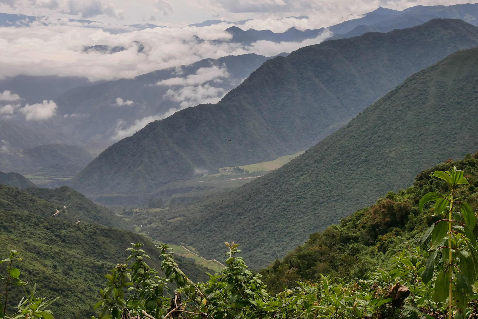
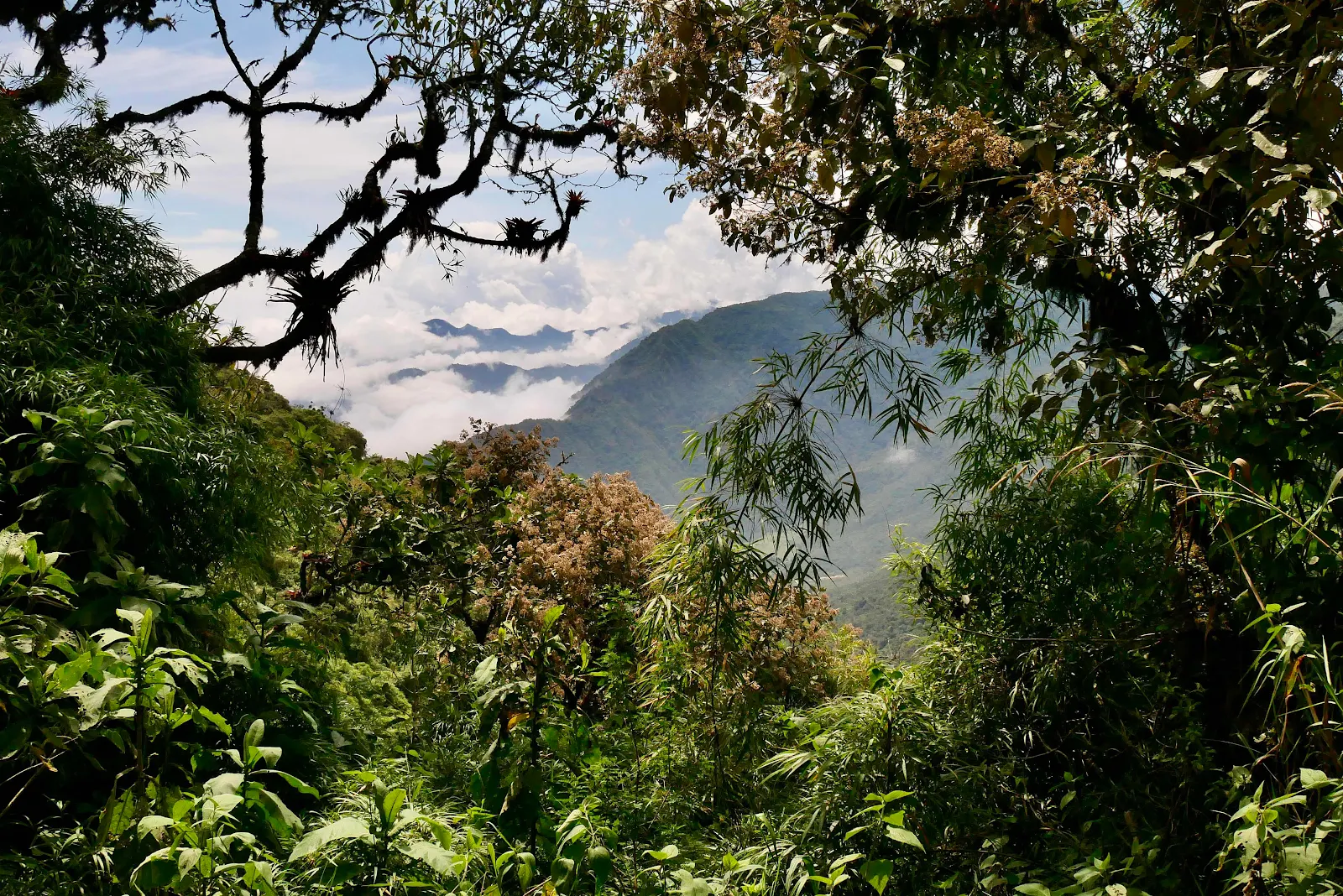
Everywhere you look there are cone shaped mountains on the horizon, every valley is hemmed in by them.
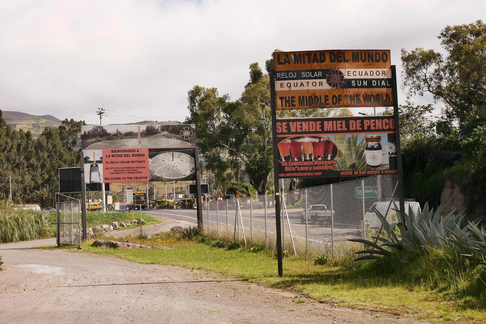
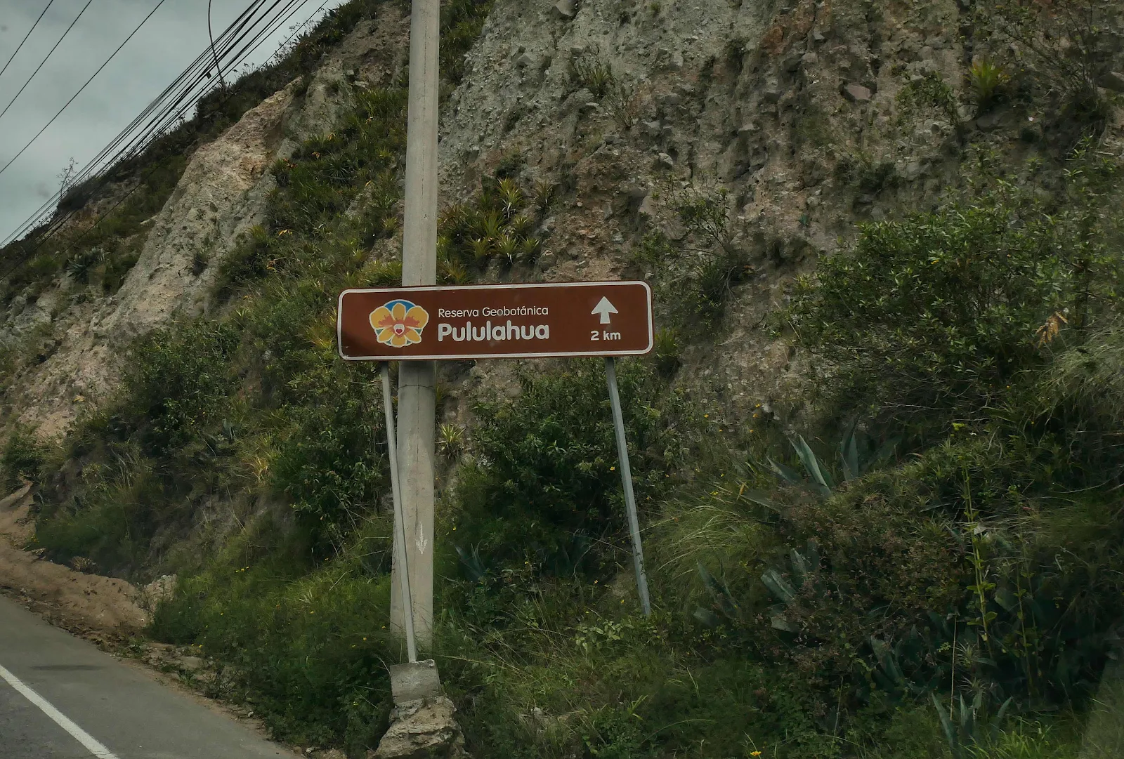
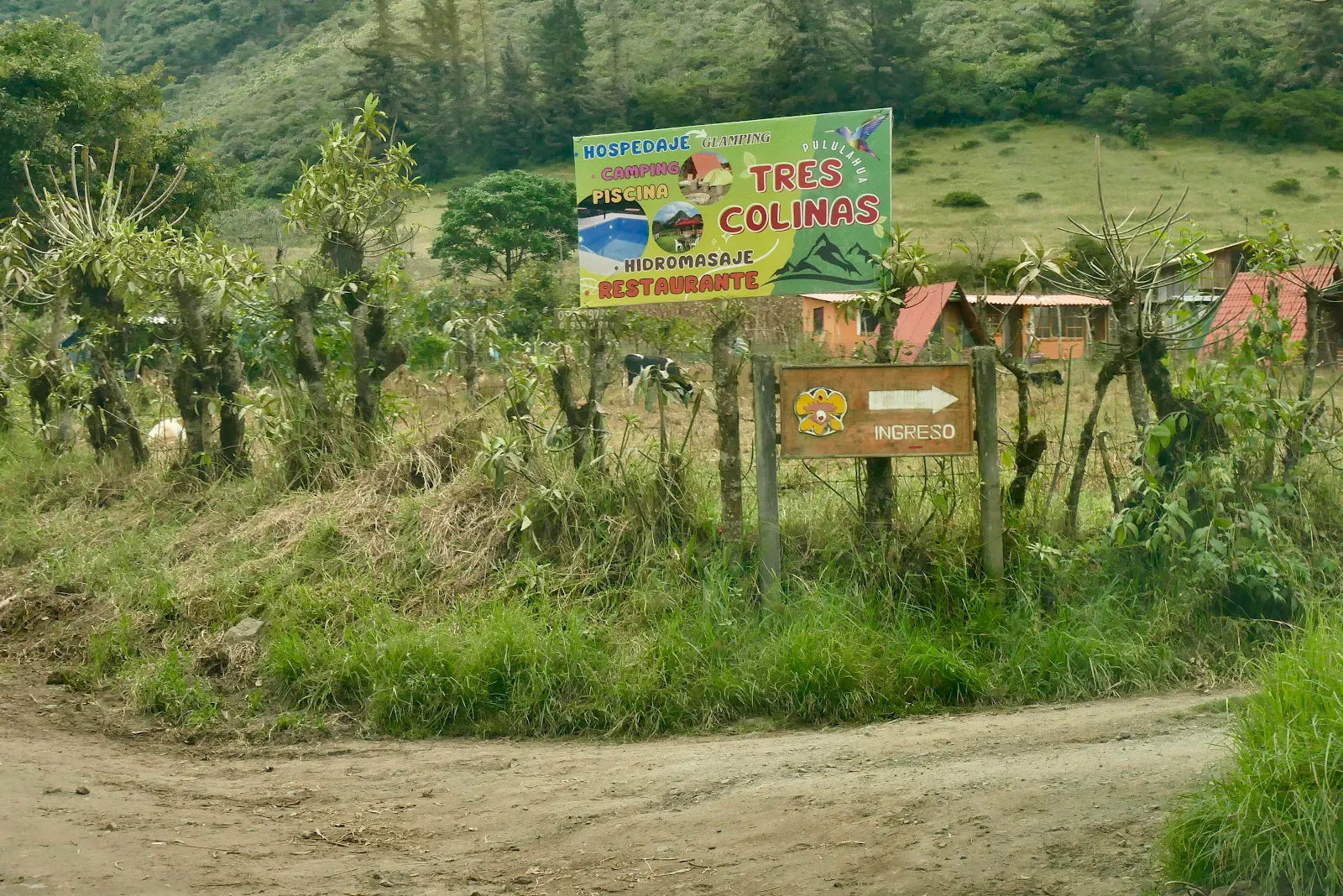
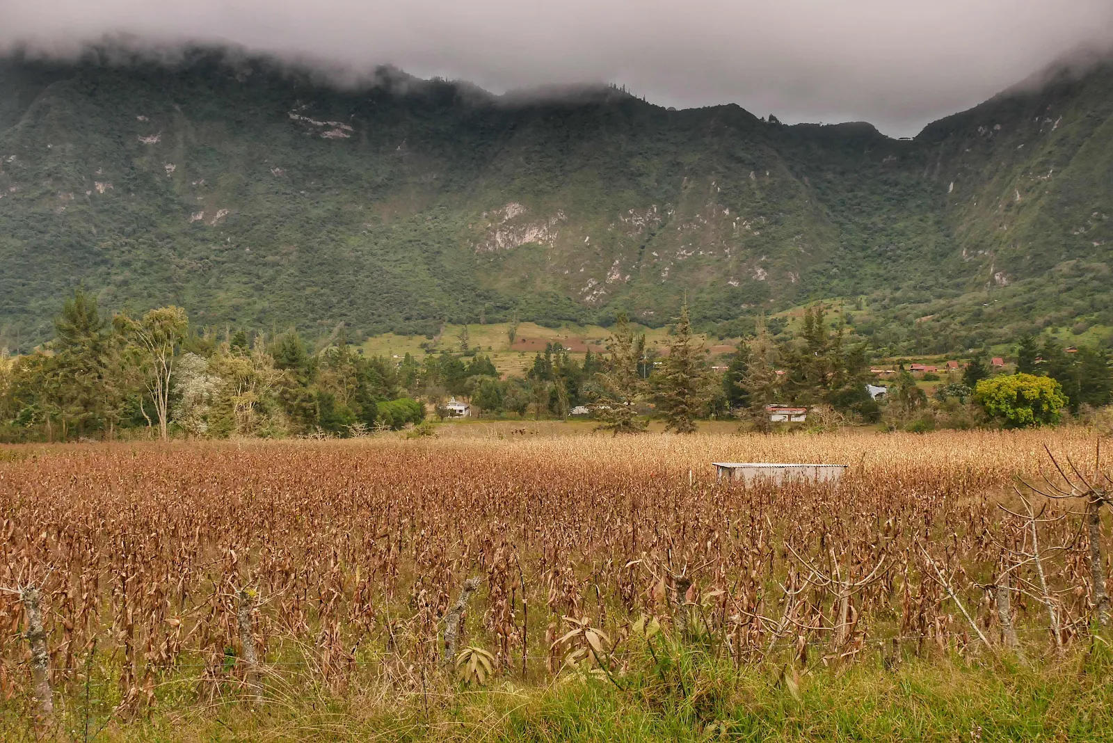
Layne had located a town inside a volcano crater the only such place anywhere apparently. Mind you calling Pululahua a town maybe exaggerating as it describes itself as a community but it does have full time residents.
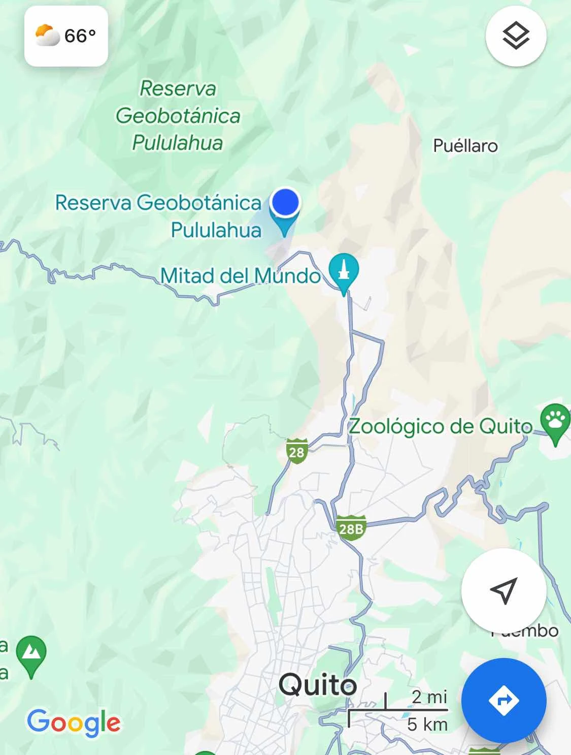
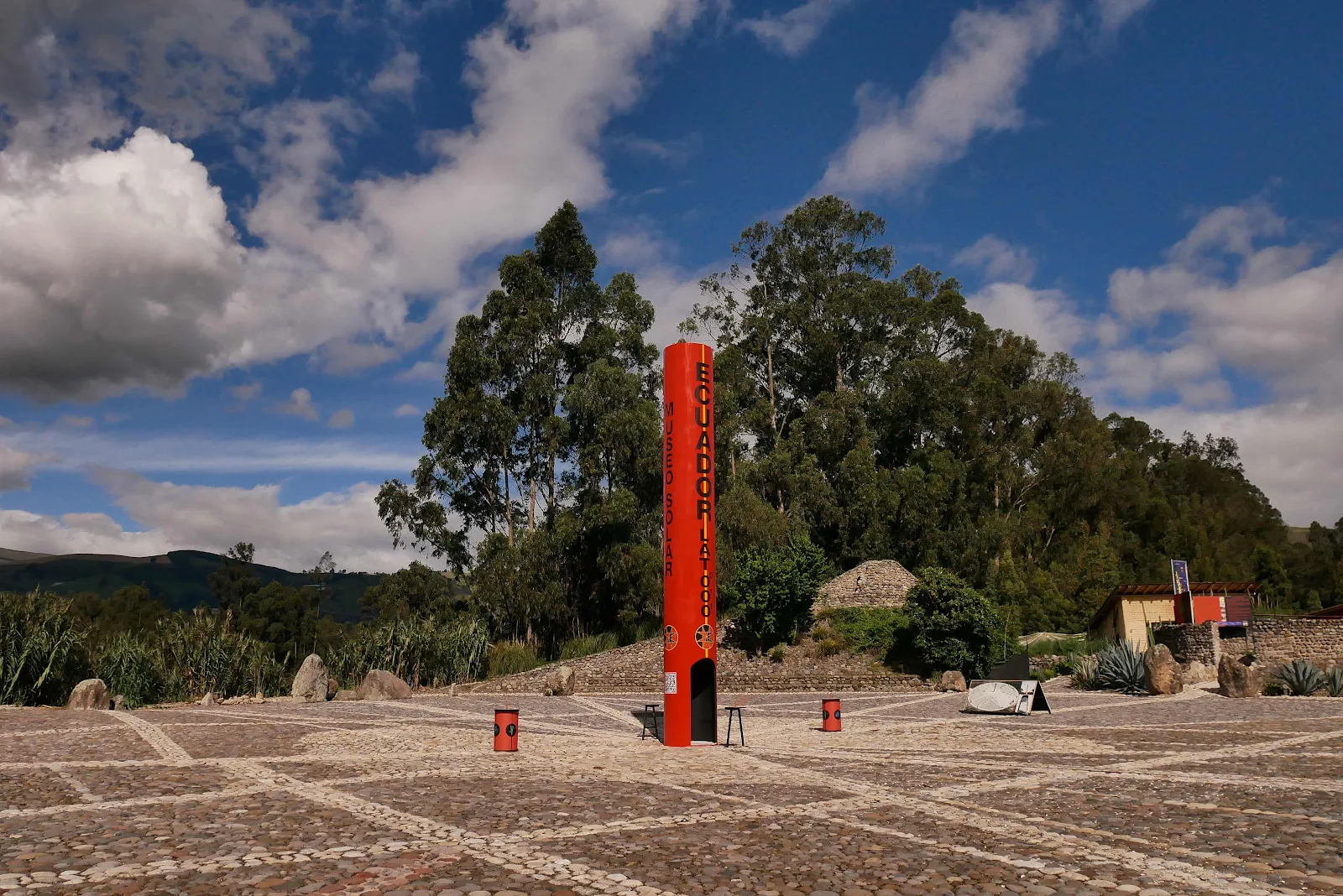
We are planning to visit Quito in a few days, the highest capital city in the world, but for the time being we skirted the northern outskirts where traffic was bad enough. Ecuador is much poorer than Colombia so there are more buses and happily far fewer motorcycles. I see a lot more Chinese brand cars pickups and SUVs too as they are much cheaper than the Renault and Toyotas and Nissans in Colombia. Chevrolet is popular but with models you’ve never seen, basically Chinese cars and pickups bashed by Chevrolet for greater prestige.
We made our way through the outskirts on the freeway filled with speed bumps, the stupidest idea I could envision, causing traffic to slam on brakes on a freeway, but we’re here to see how other cultures do their thing. Sigh.
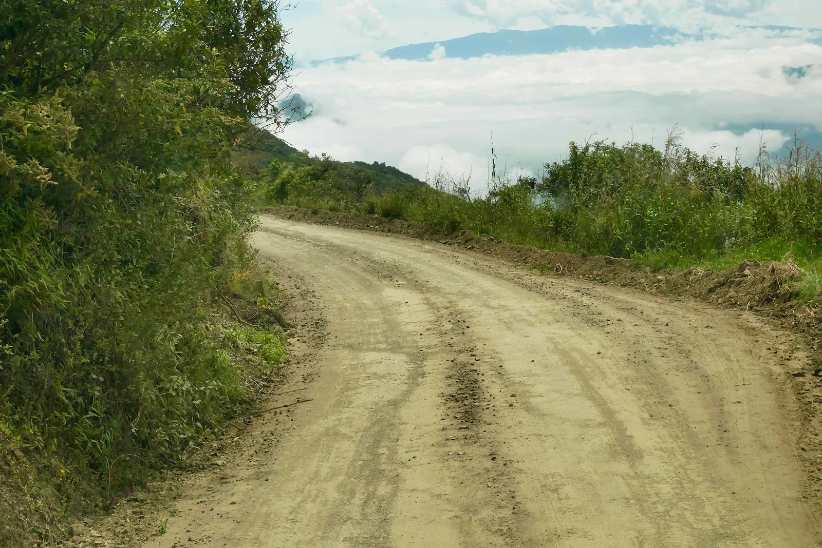
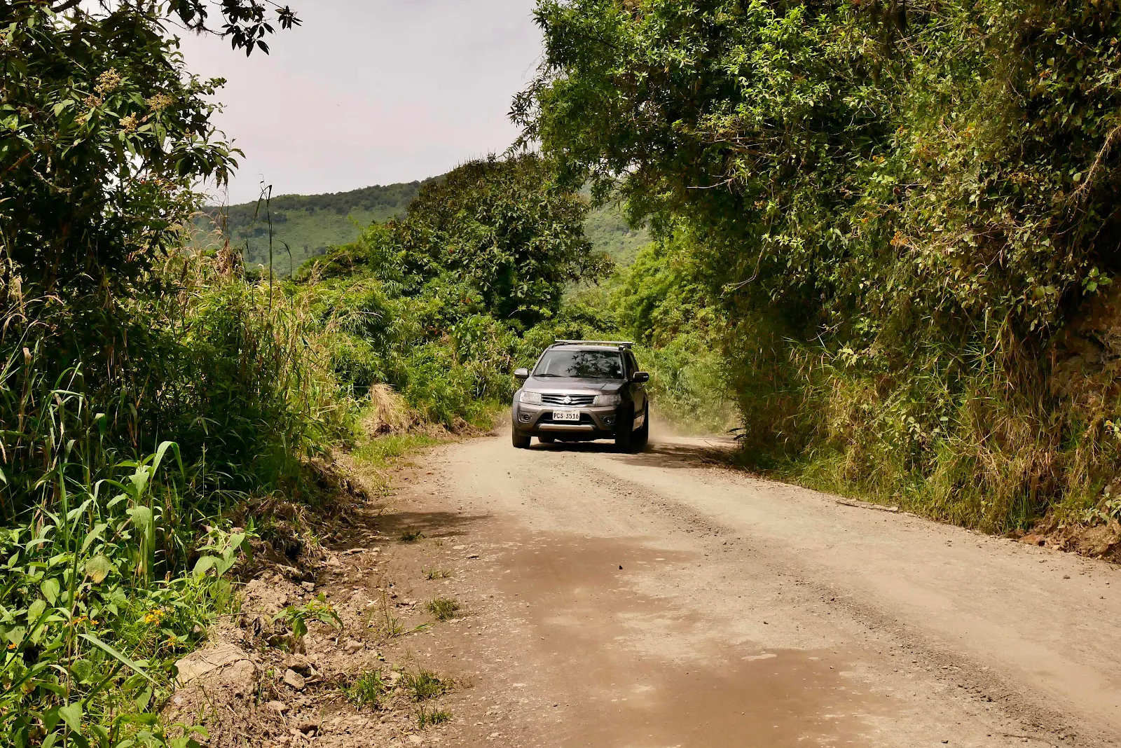
Google Maps was quite convincing and we turned off the main road into…dirt. Really?
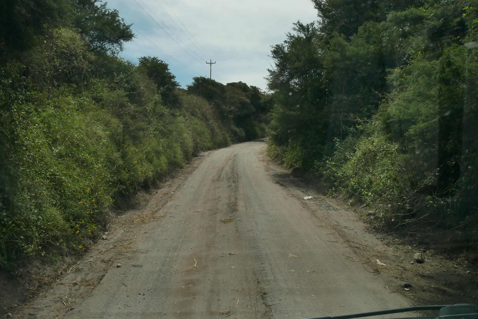
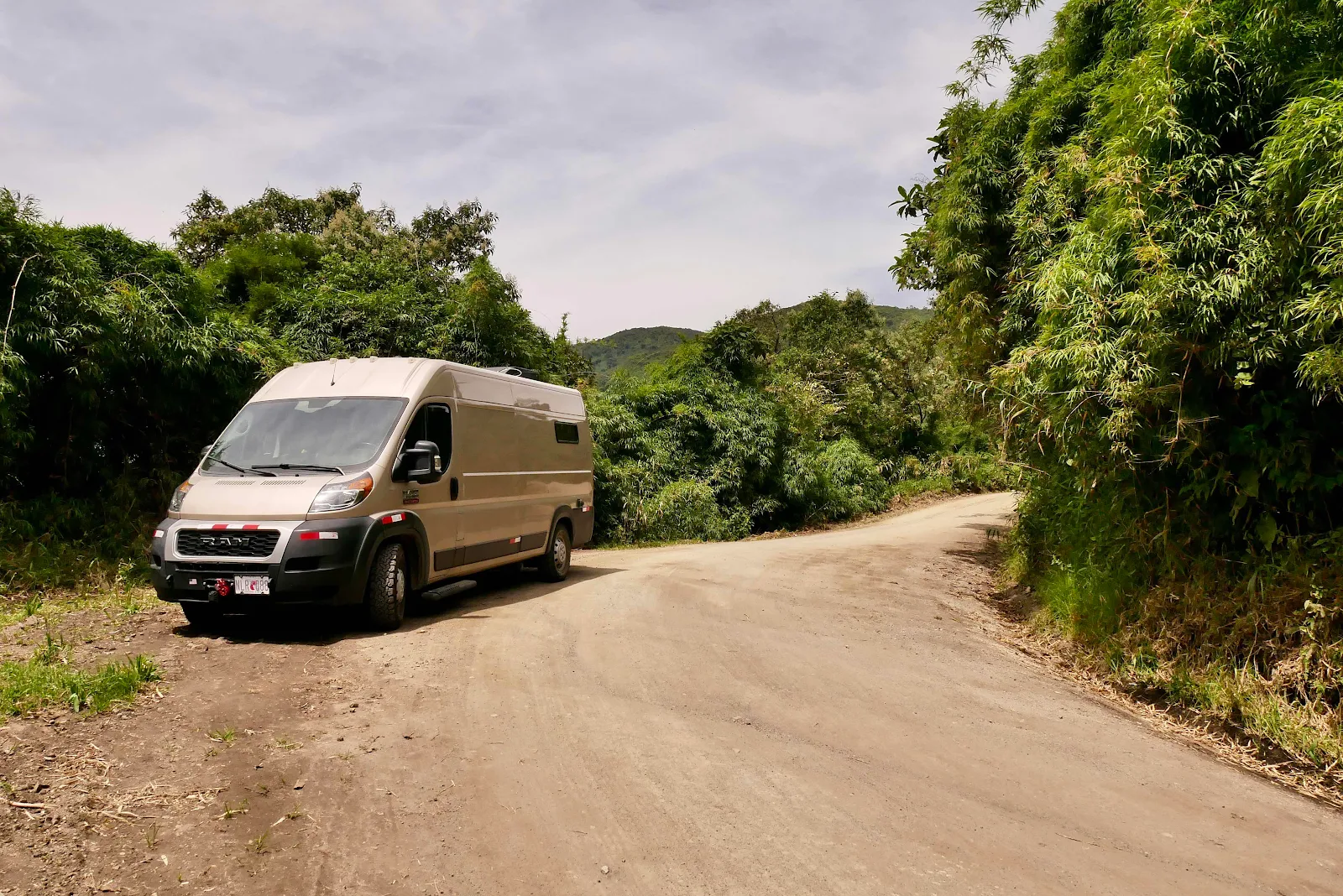
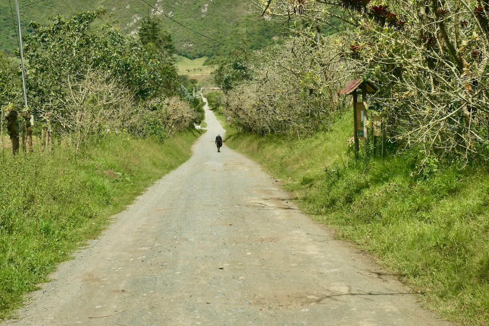
The road was supposedly ten miles to the campground in the crater and the road wasn’t bad actually. It was as narrow as you see it but happily the traffic in either direction was rare.
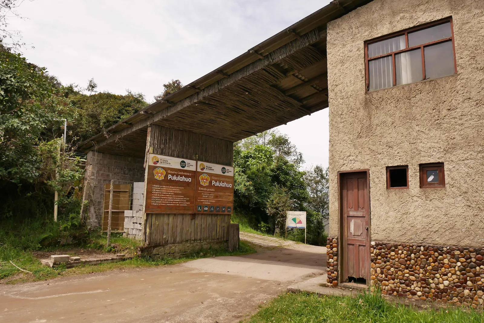
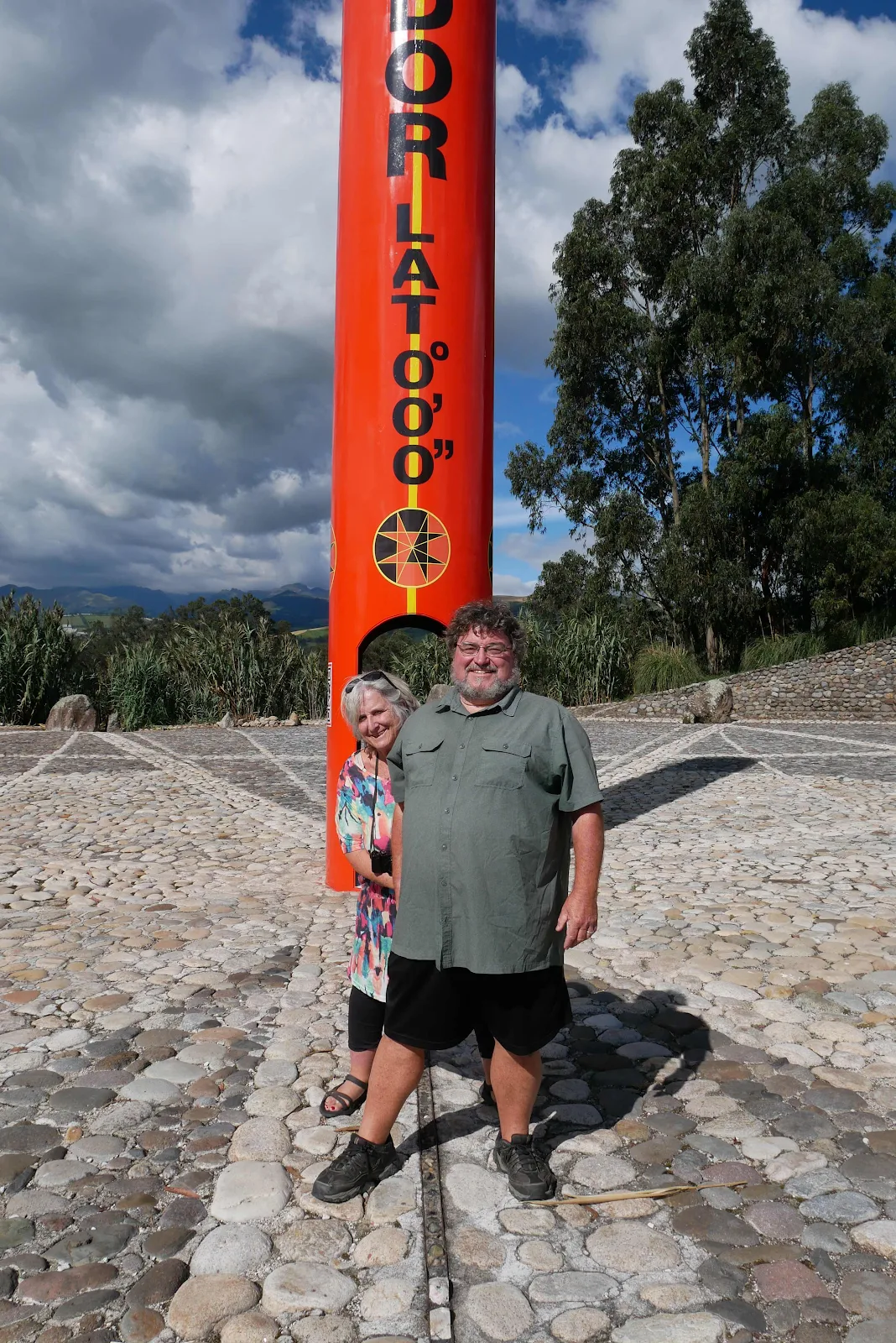
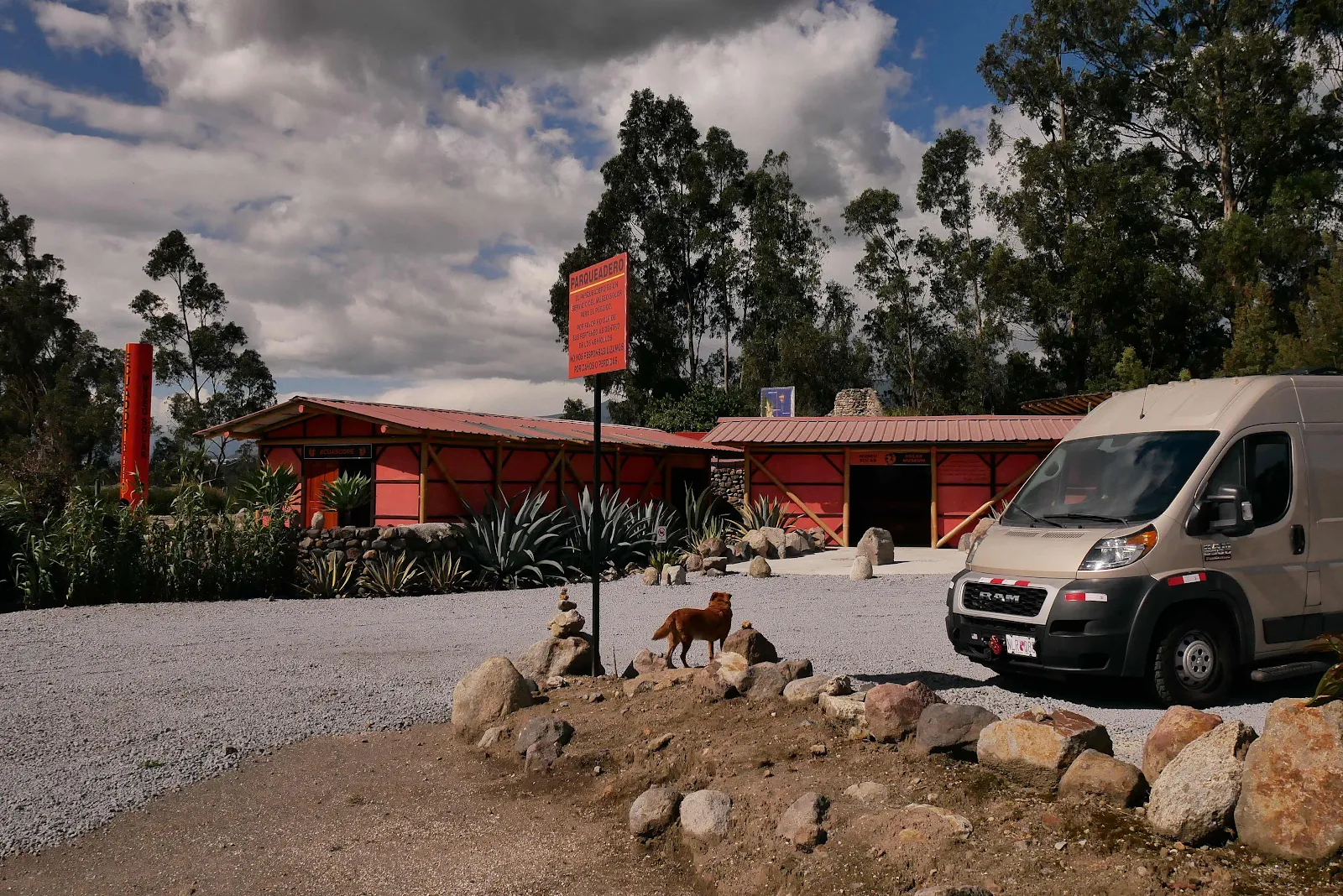
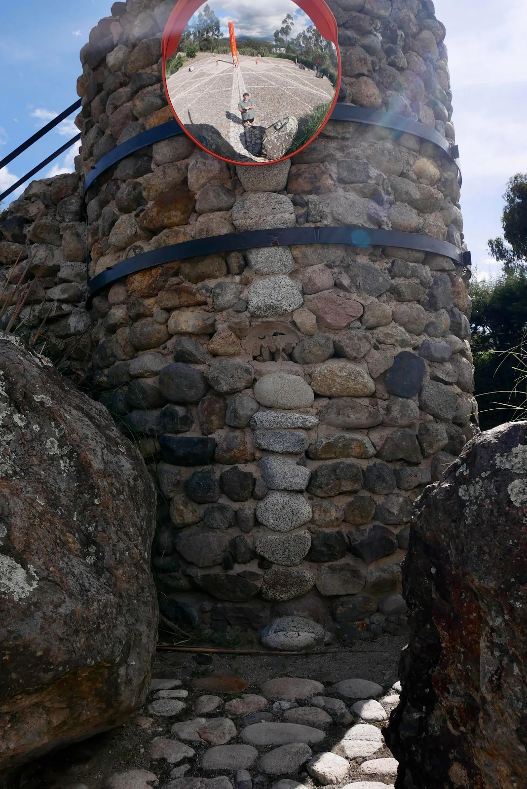
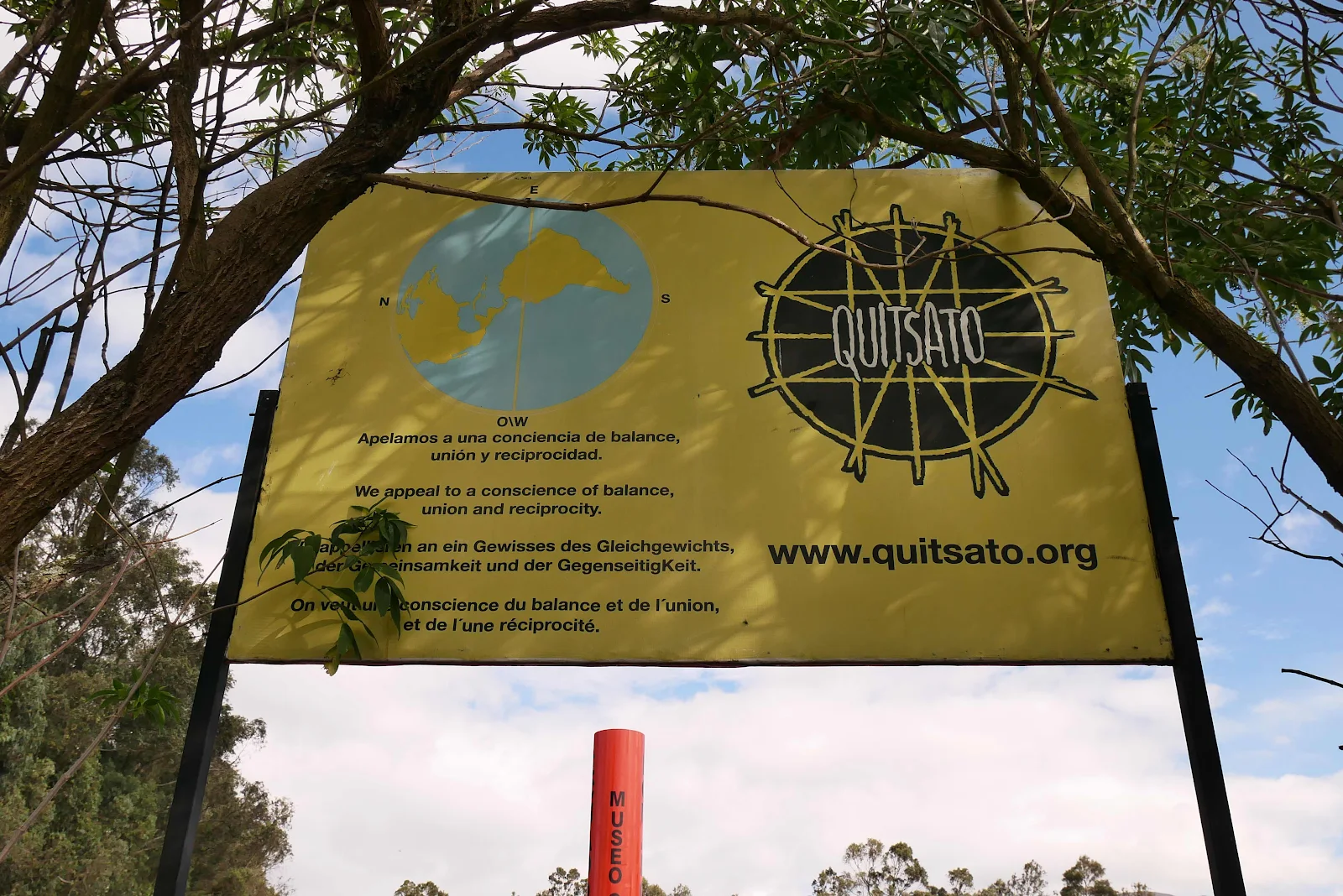
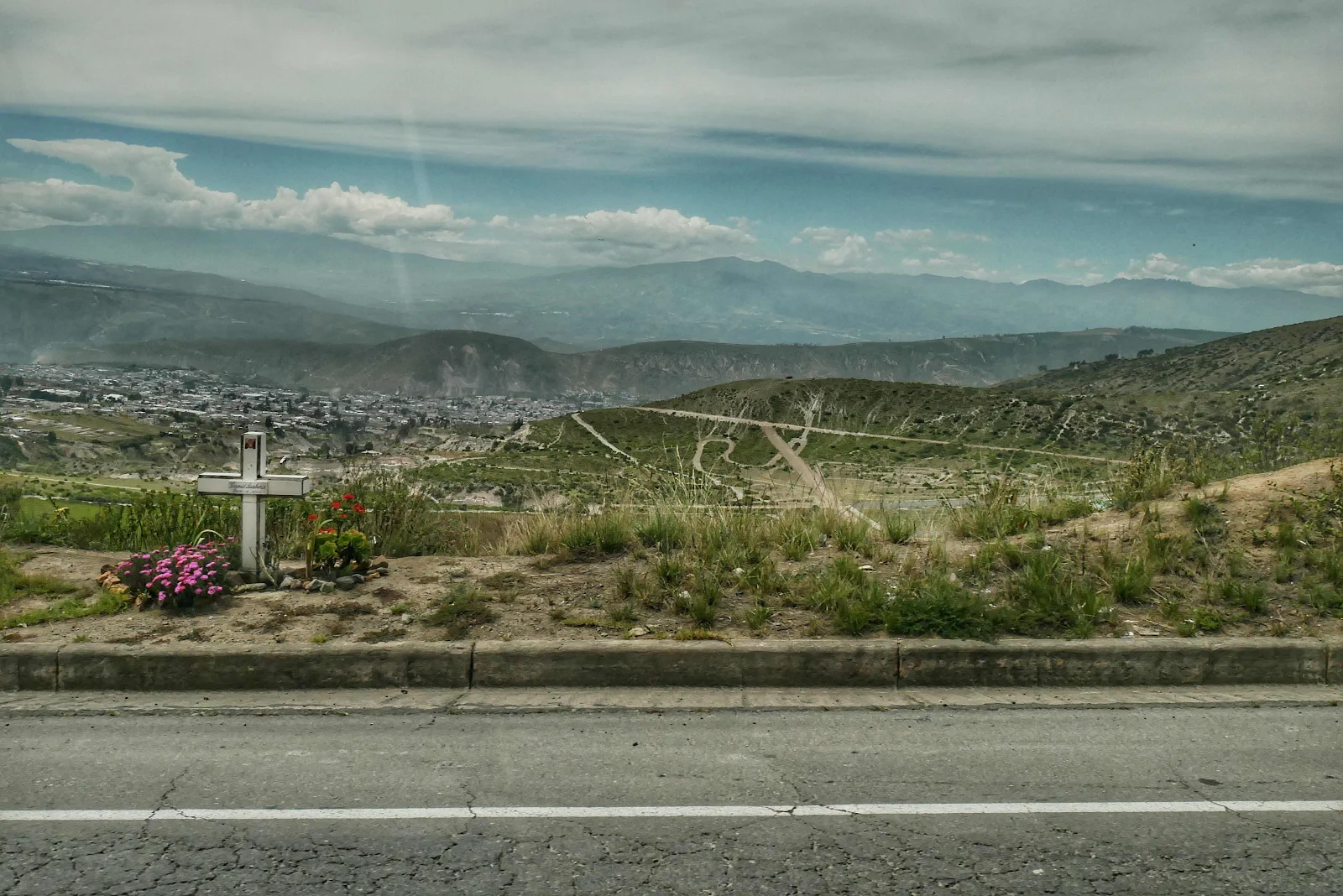
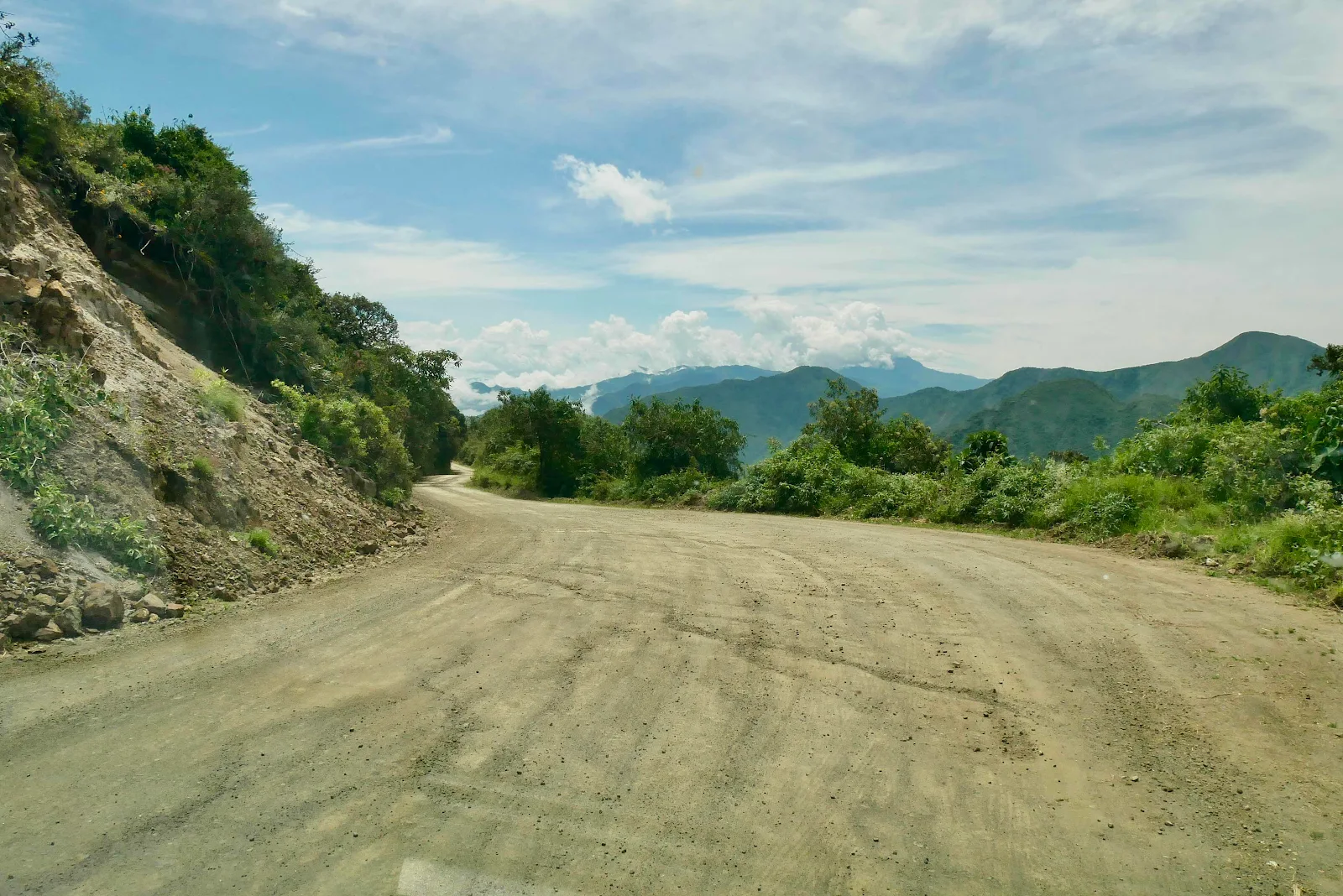
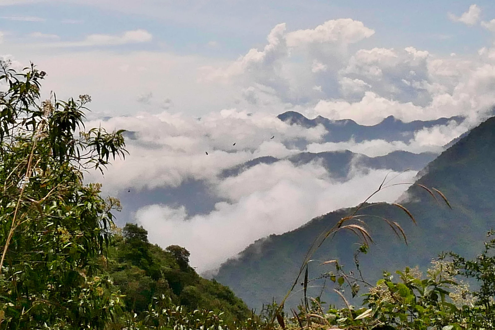
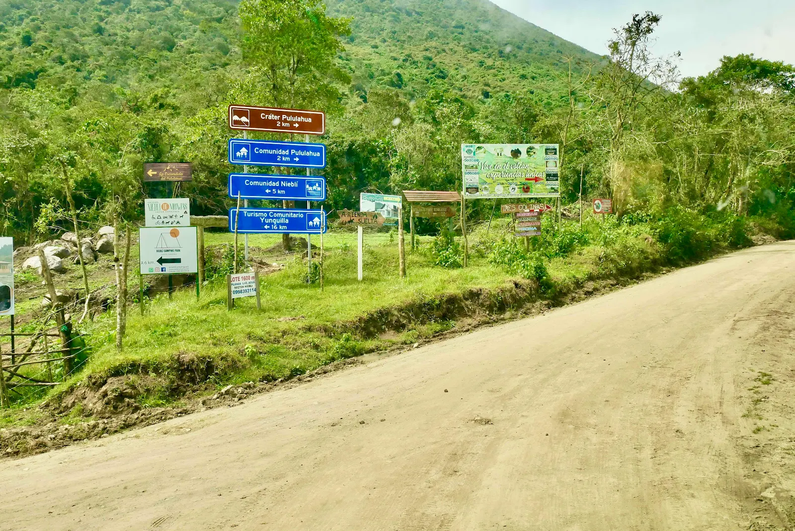
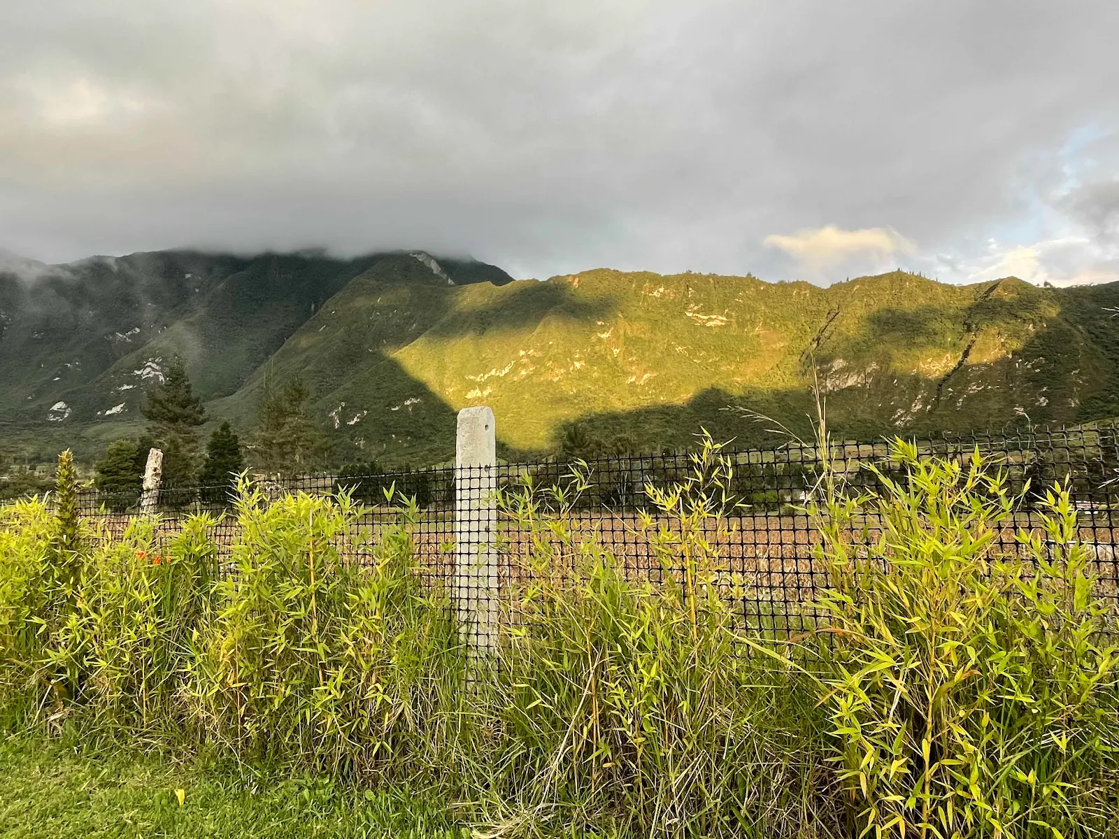
After four miles we got to the pass at the top, at 10,050 feet where we paused to read the signs and take in the views.
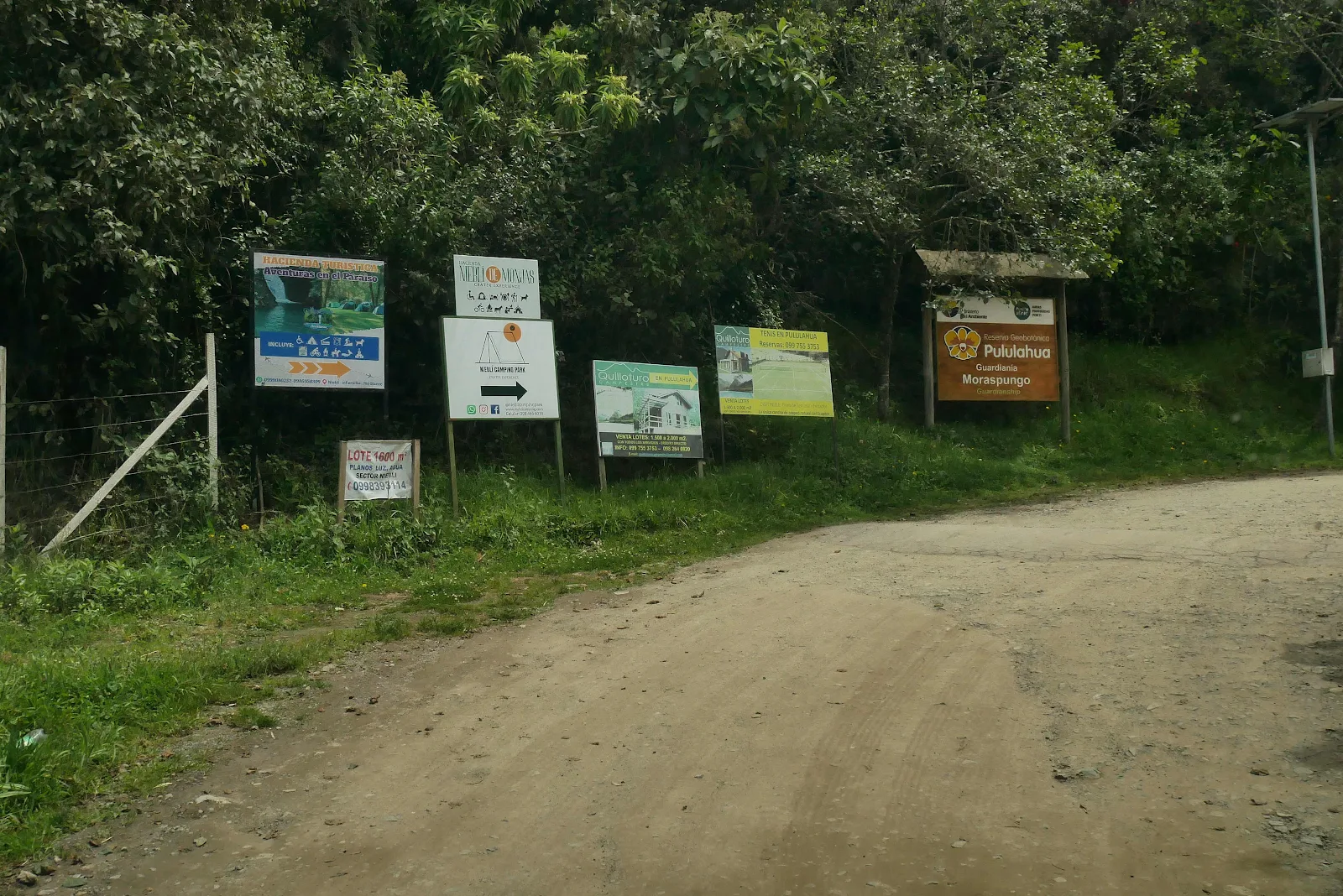
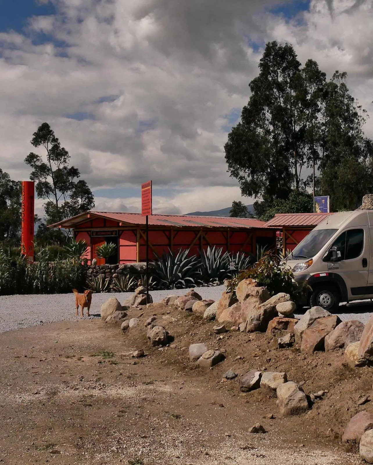
The signs said no dogs in the reserve but iOverlander said dogs were welcome at the campground so we interpreted it to mean no dogs on nature trails which I think is correct as there are plenty of dogs in the crater.
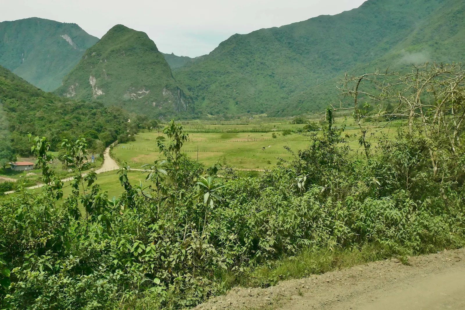
That’s the crater down below. We were impressed by the view and in hope the photograph reveals some of the vastness of the place.
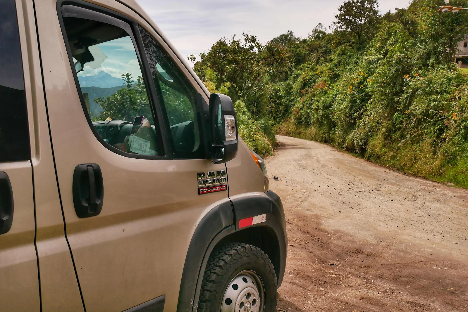
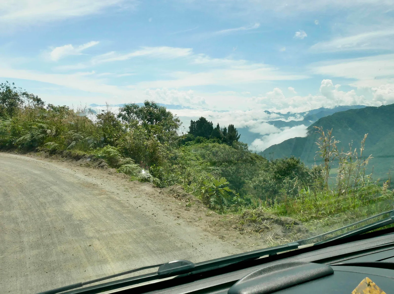
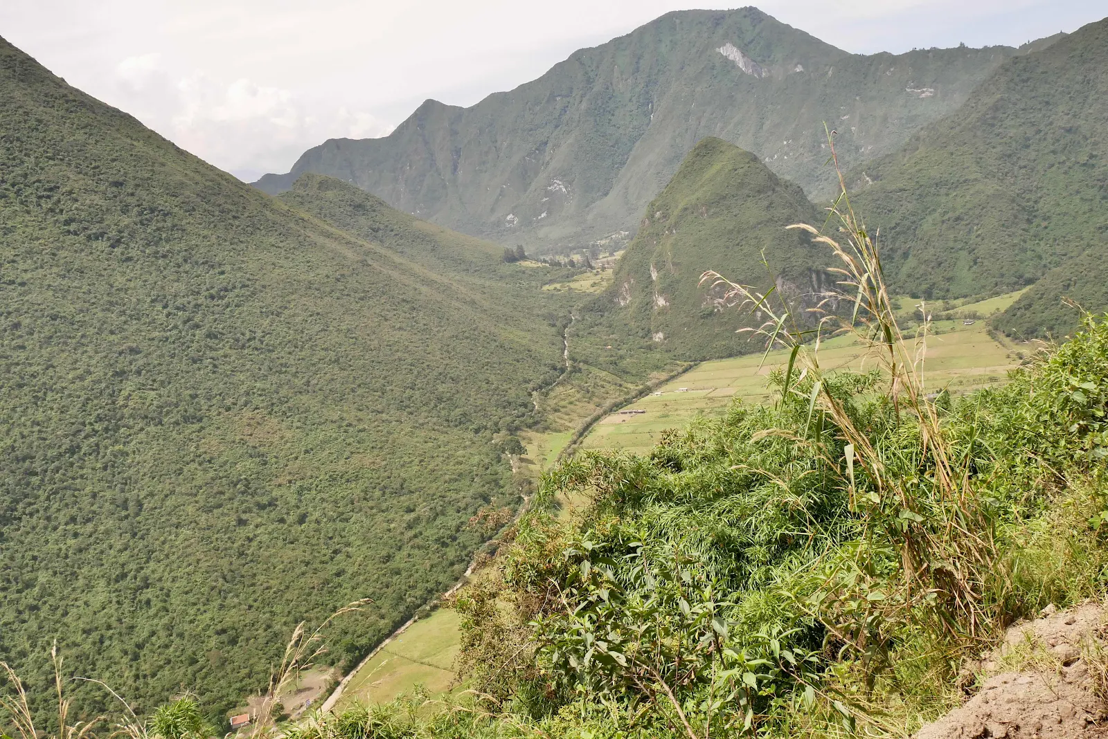
We had a drop of two thousand feet ahead of us and Google estimated the road to the valley to be about six miles long. Which isn’t far and as it turned out the road itself was quite reasonable.
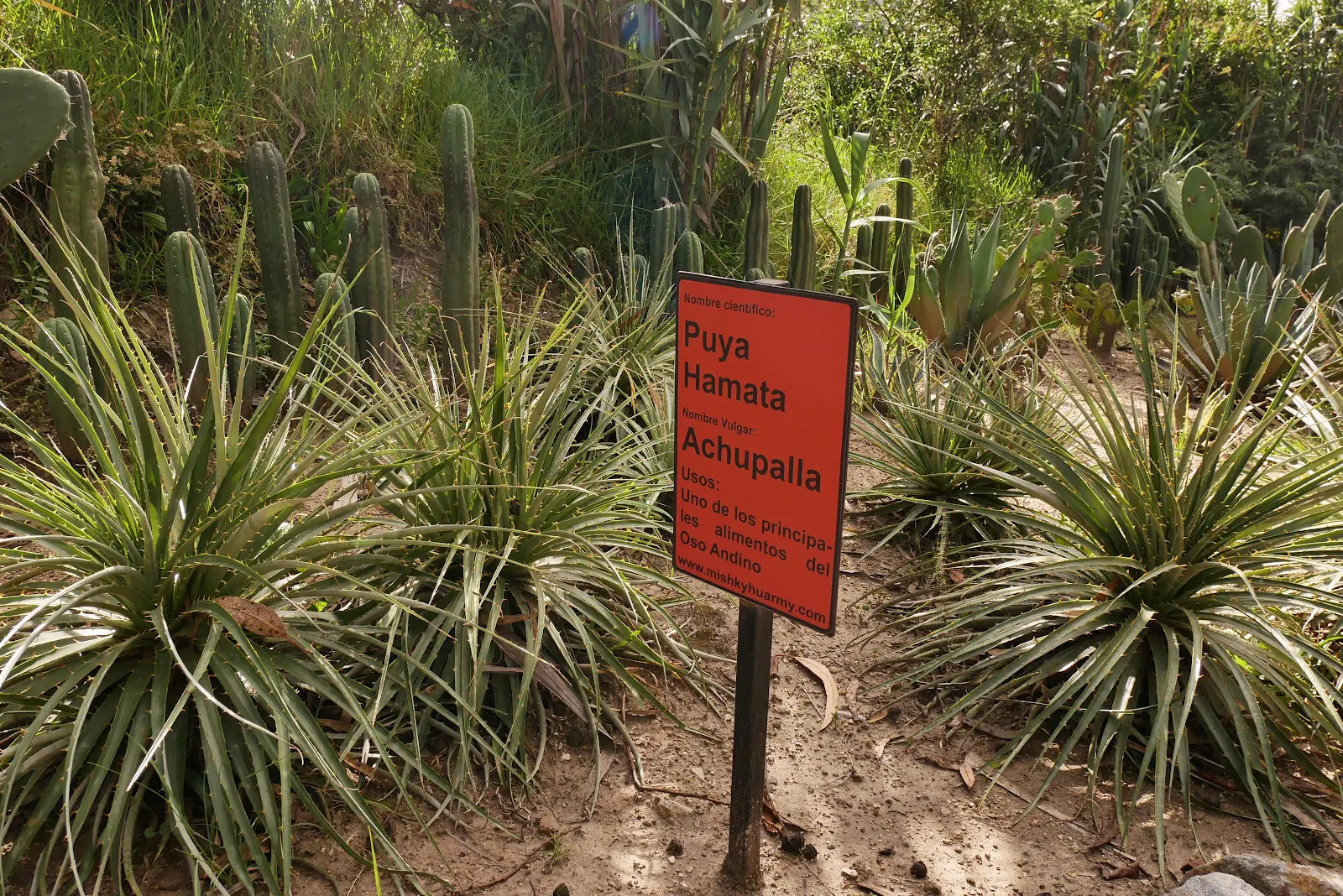
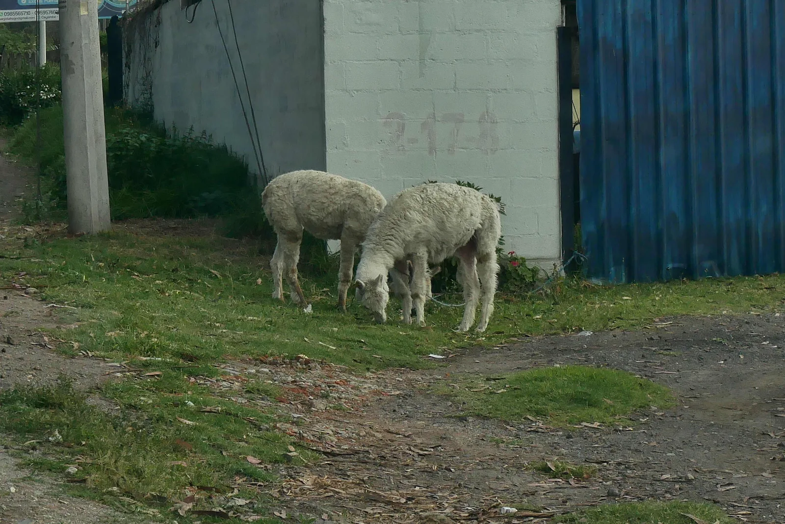
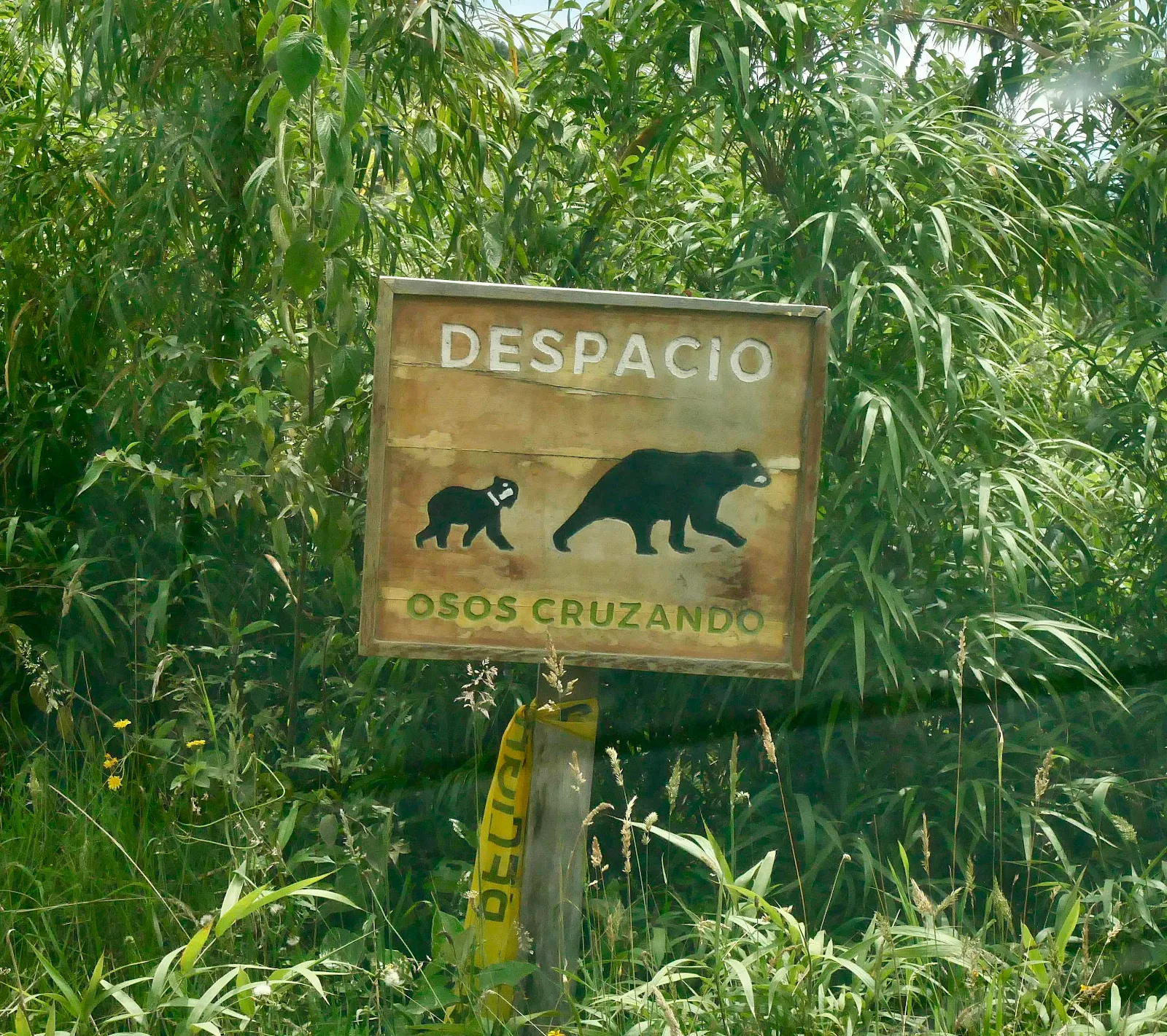
Those Andean bears keep following us around but as usual we saw none.
The biggest hassle on the road in a 9400 pound delivery van is the inability of the gearbox to keep us slow enough. Manual first gear might go as fast as 15 or twenty miles per hour, far too fast for our home on wheels on the bumps and sharp turns.
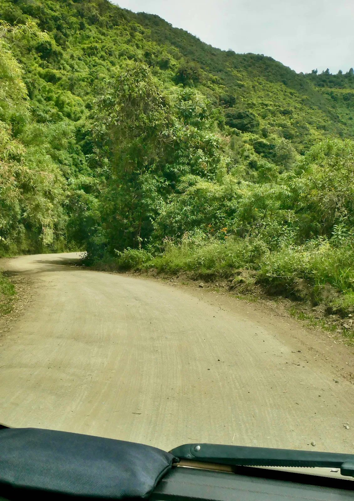
The result was I had to the brakes too much for my comfort so we pulled over for twenty minutes about half way down. We also pulled over a couple of times for traffic and once I had to back up for a delivery truck. He flashed his headlights me as if I might not have noticed him. I flashed back and started reversing up the hill. It worked but patience is a virtue here and locals have none.
There were quite a few turn outs she the grades weren’t terrible so as long as you didn’t accidentally drive over the edge you were fine.
Oh and the sun was out.
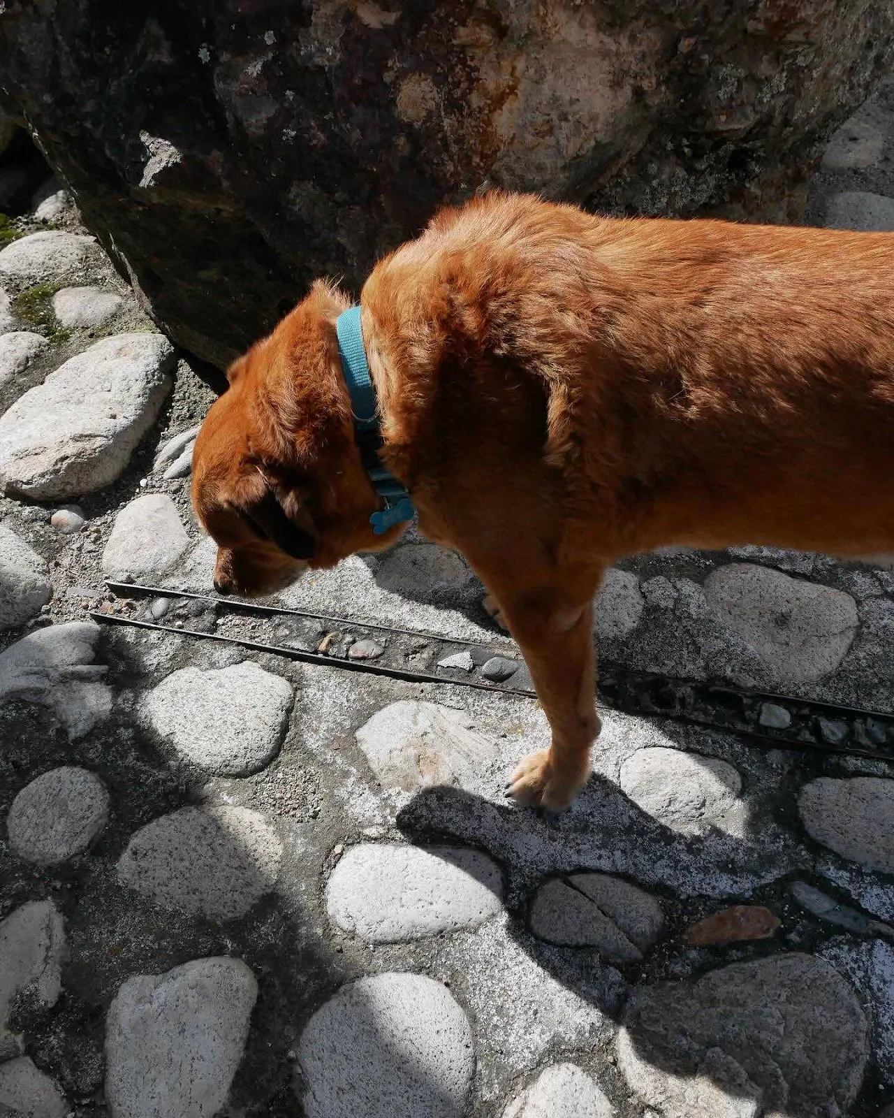
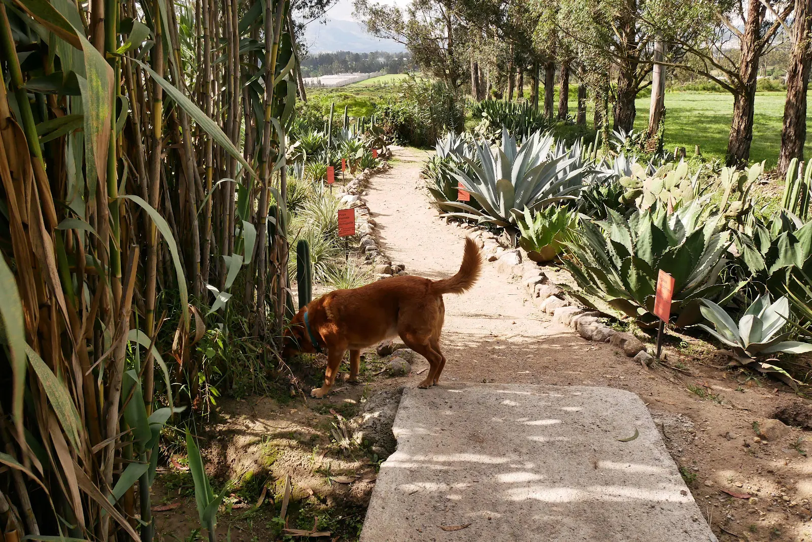
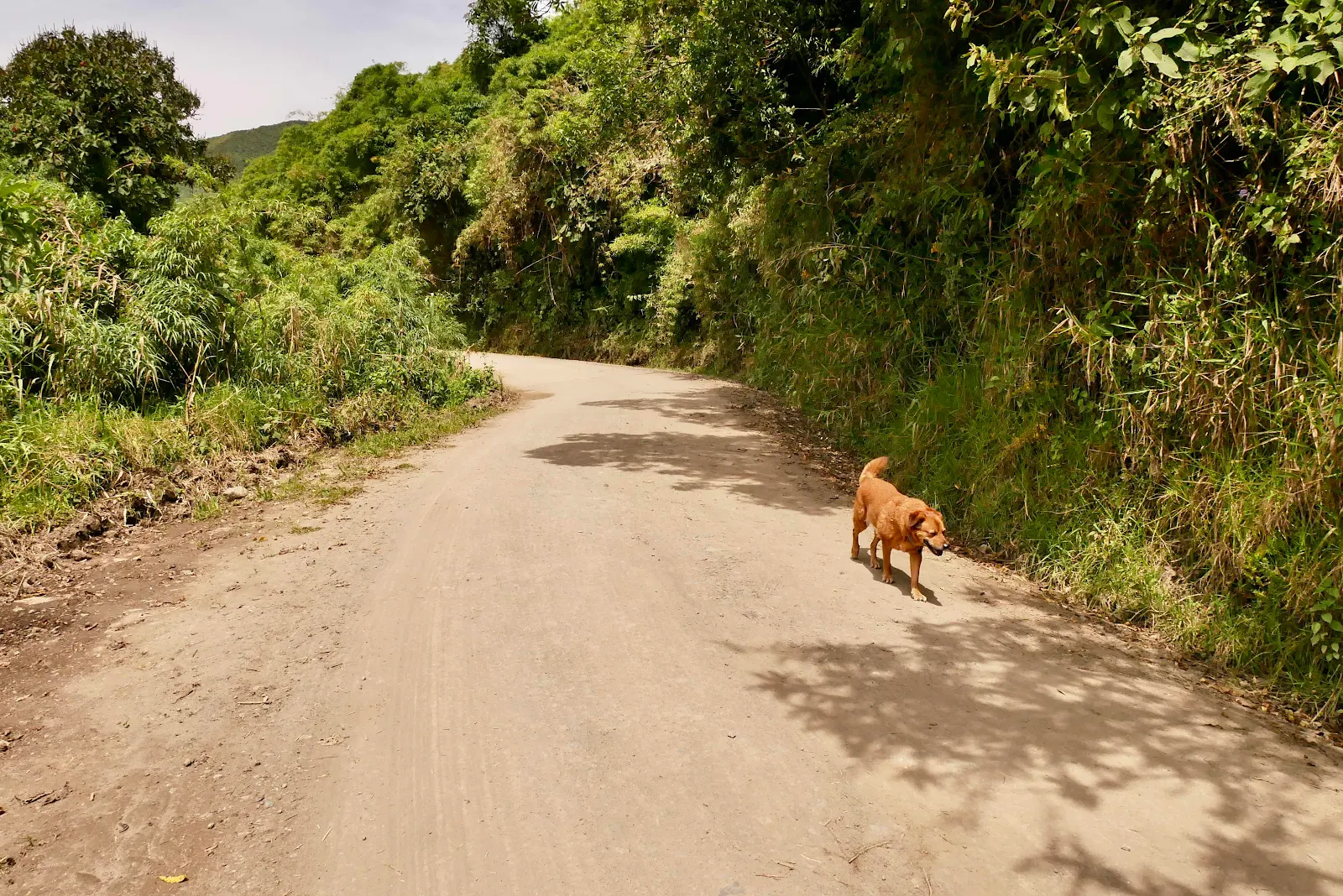
While the brakes cooled Rusty took me for a walk.
It was a long way down and felt further than six miles downhill but we never felt it was too much.
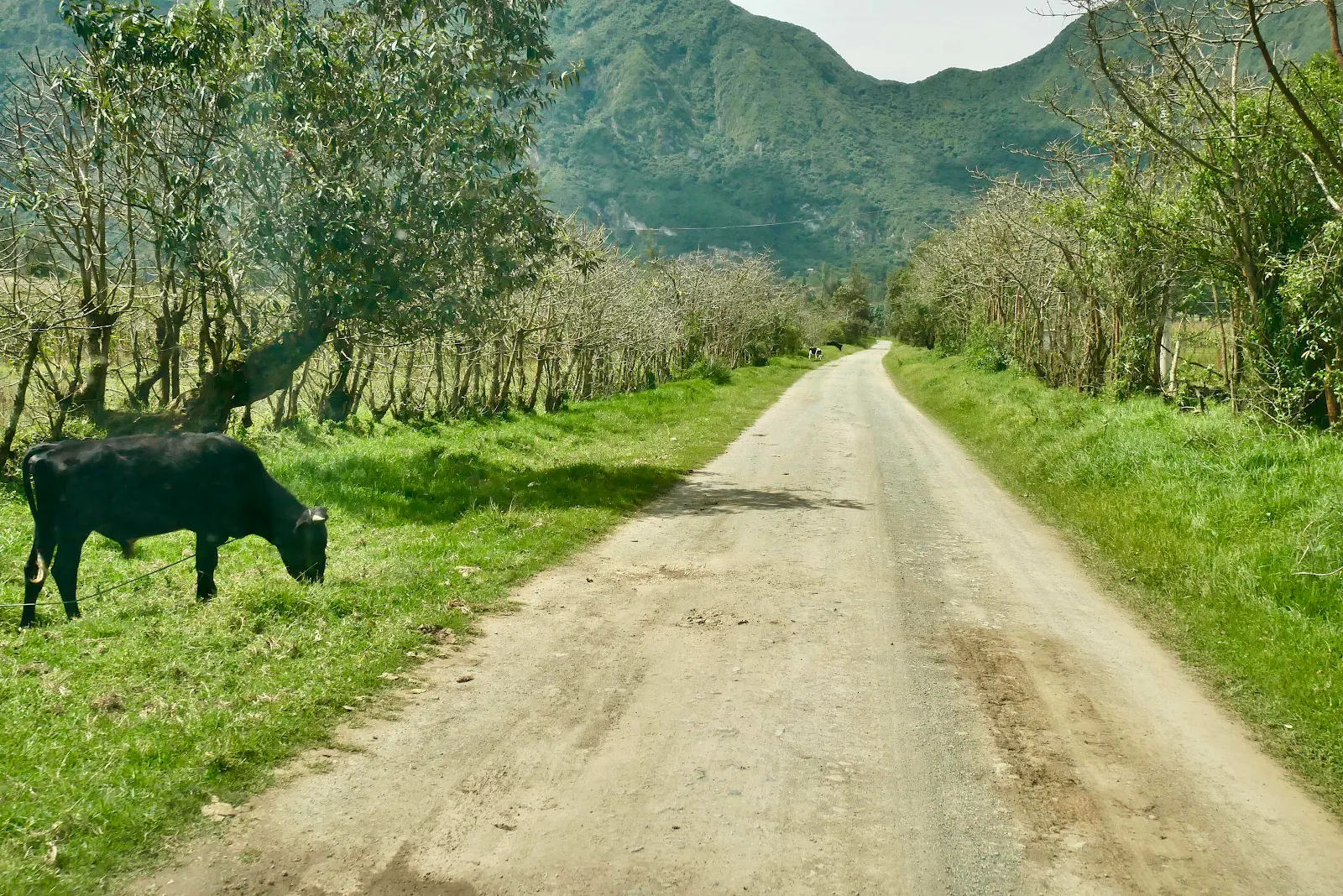
Finally we reached the valley floor and took a right.
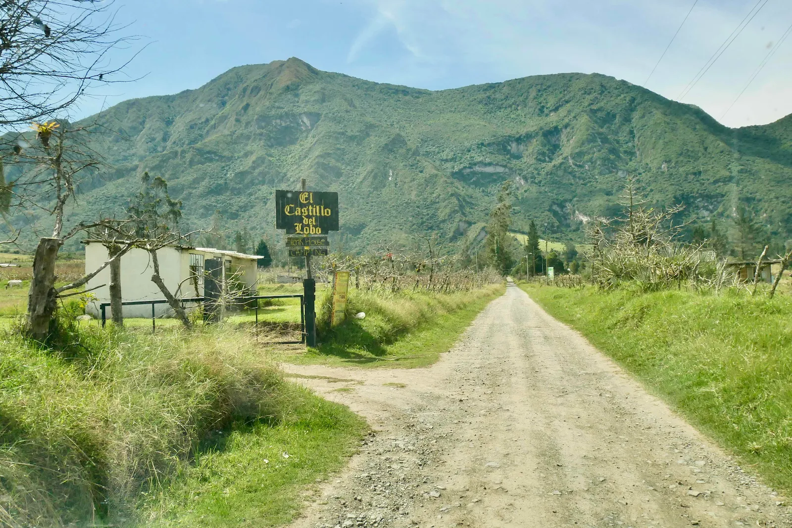
It was about one thirty and Layne had a lunch plan at the Wolf’s Castle.
Fields animals and agriculture fill the valley floor. There was hardly any traffic here, an hour from Quito.
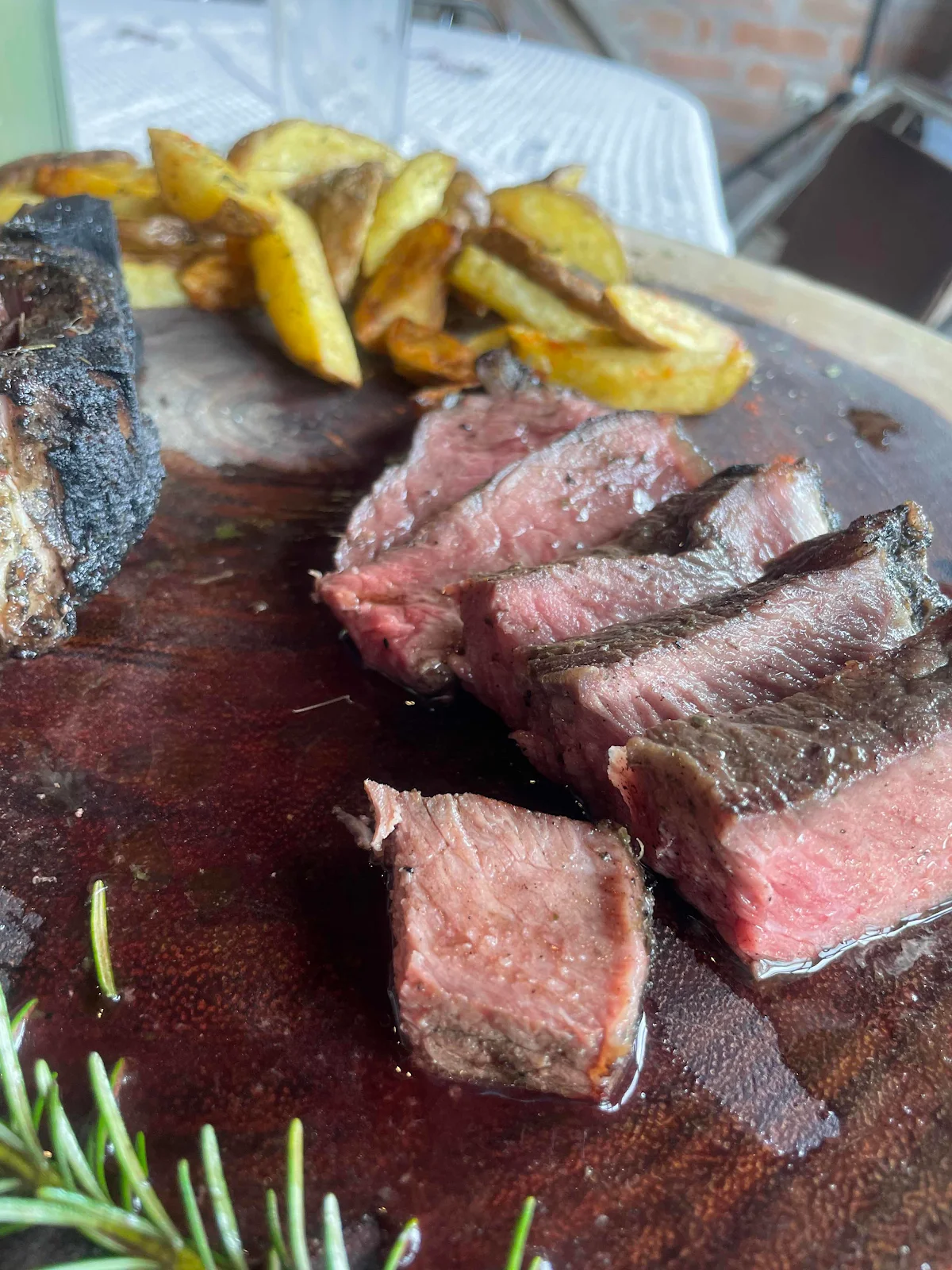
It felt like there side of the moon but there it was: the best steak in Ecuador.
There followed a bizarre conversation where they were closed then they opened and if we could wait an hour we’d get fed. Okay we said as we are in no hurry ever.
It was an easy waiting a lovely spot and when the food arrived Layne remembered she’d forgotten our to-go box.
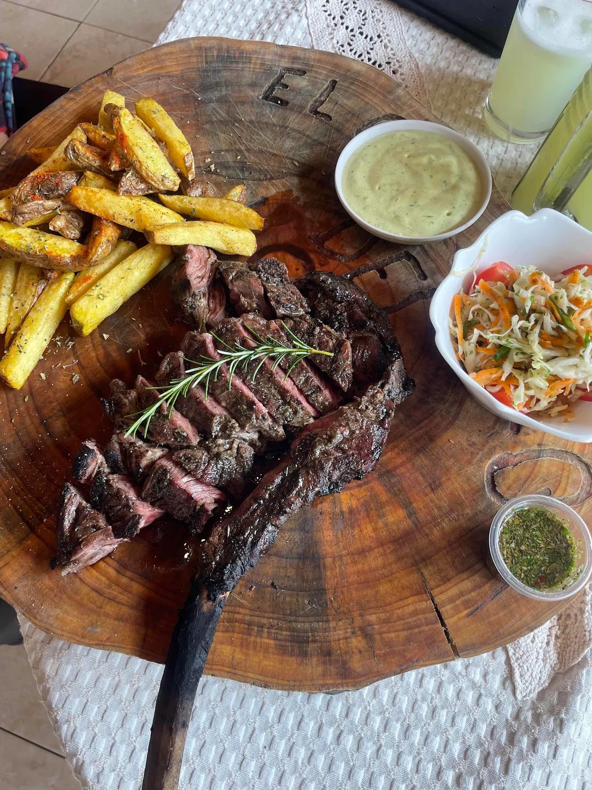
It tasted as good as it looked. That’s all I want to say on that.
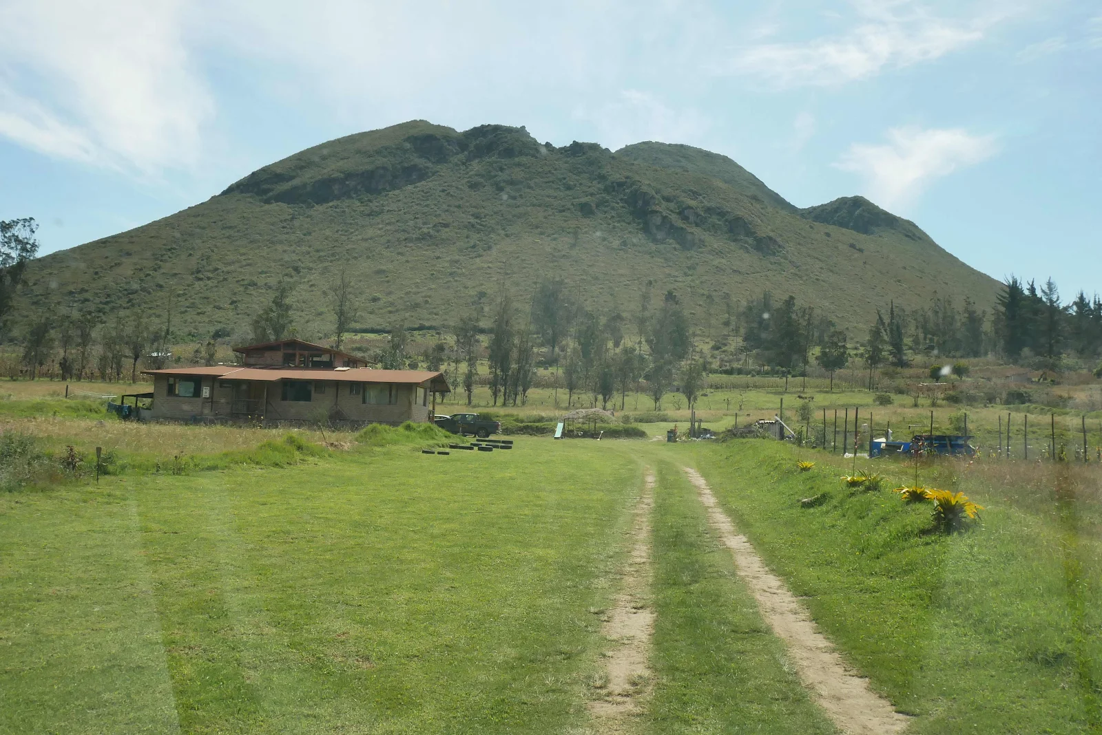
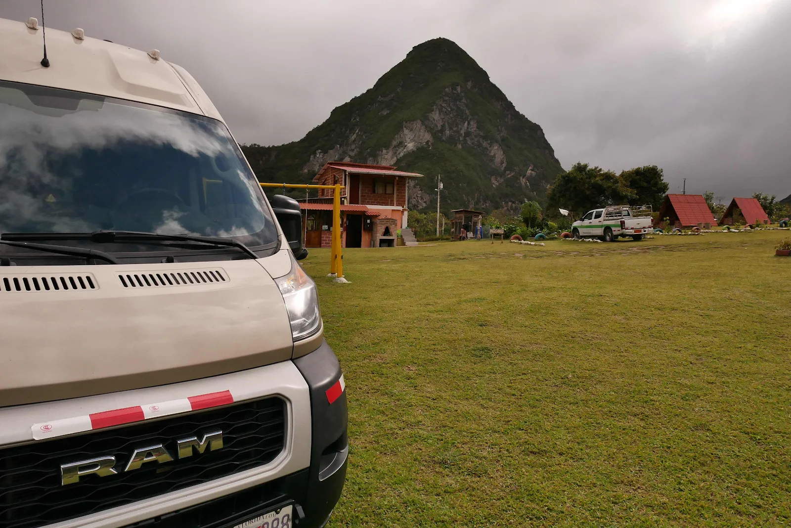
We could have slept there but we wanted hot showers so we drove five minutes here.
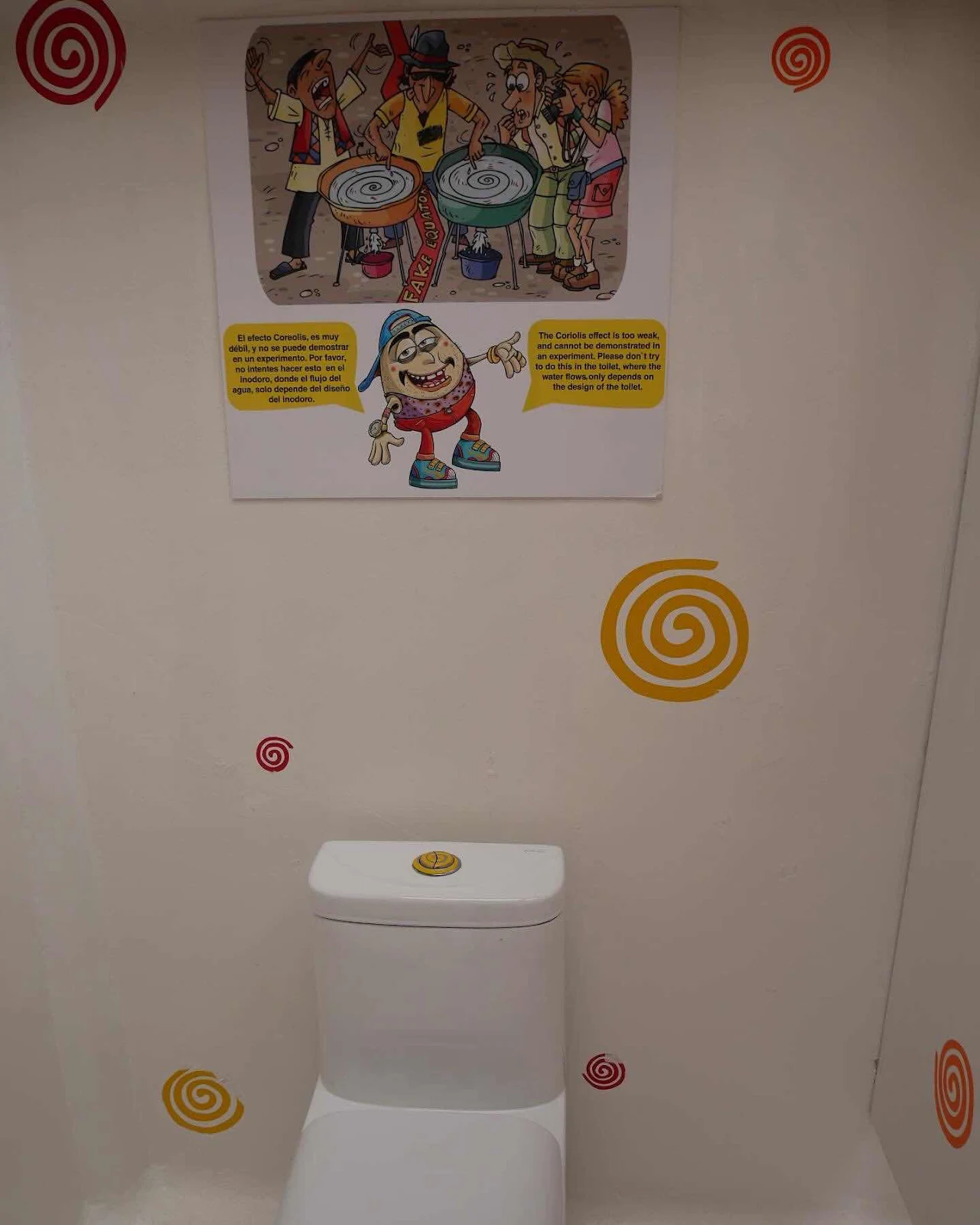
$12 a night with hot a hot shower. That was the good bit. The men’s loo is a urinal while women get a full toilet. We used our initiative on that one, but sometimes campground s in Latin America are weird. If you expect full KOA facilities you may be disappointed.
The owner worried about Rusty as he lets his chickens loose in the evening. Rusty doesn’t chase chickens and he had every opportunity in Key West and in any case he usually stays close to the van.
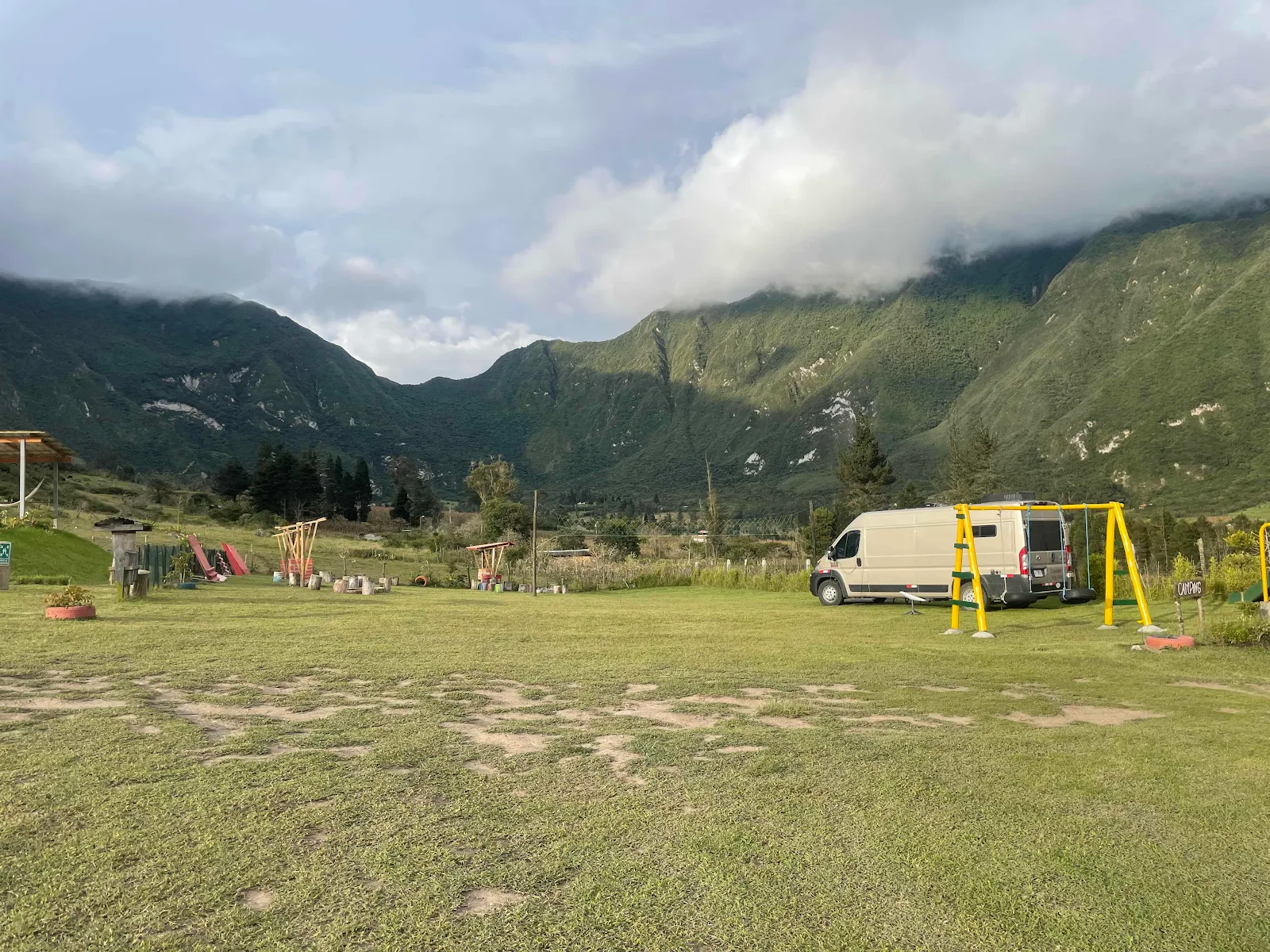
But that did put a crimp on our afternoon, it felt a bit constricted. Having to park by the children’s playground could be awkward. I think this valley is a big draw for city residents on weekends so we were happy to be the sole tourists in the valley on a weekday. If there were other tourists in the valley we didn’t see them.
Aside from the not picking it was quiet and dark at night and we were in a crater in our home in Ecuador. Pretty amazing really.

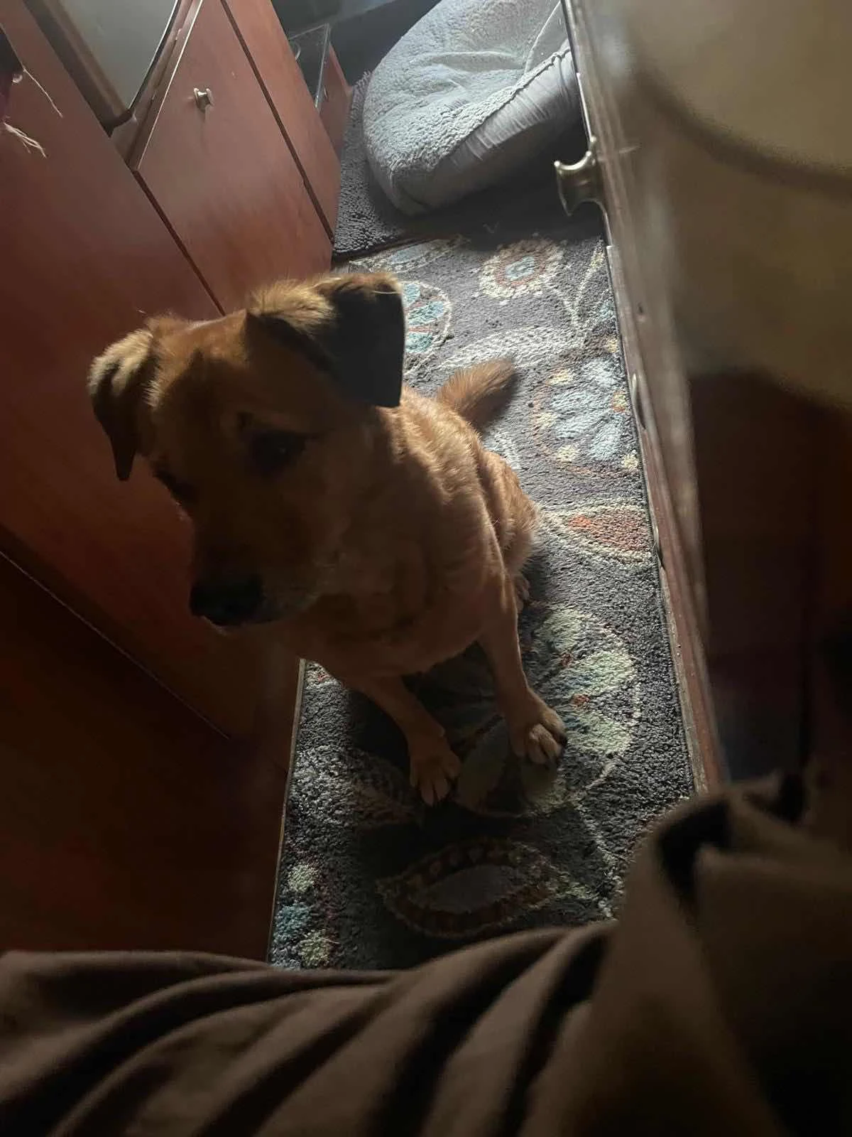
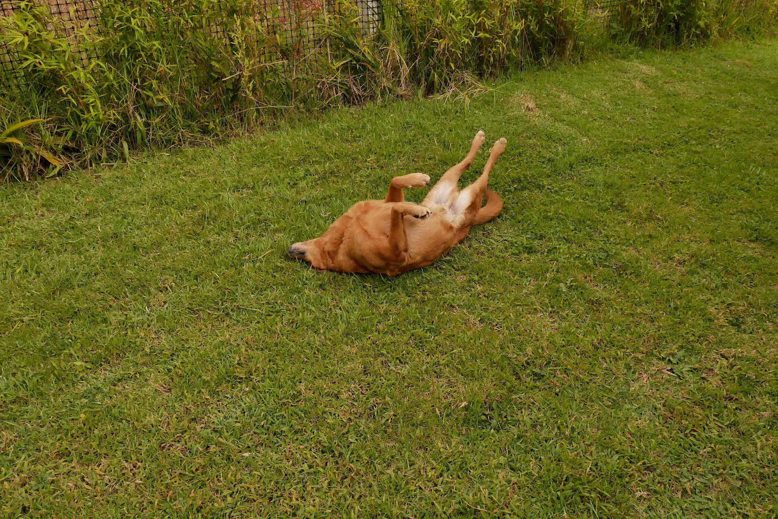
Rusty ready to get up and face the day even if we aren’t.