Saturday, March 29, 2025

Falling Into Chile

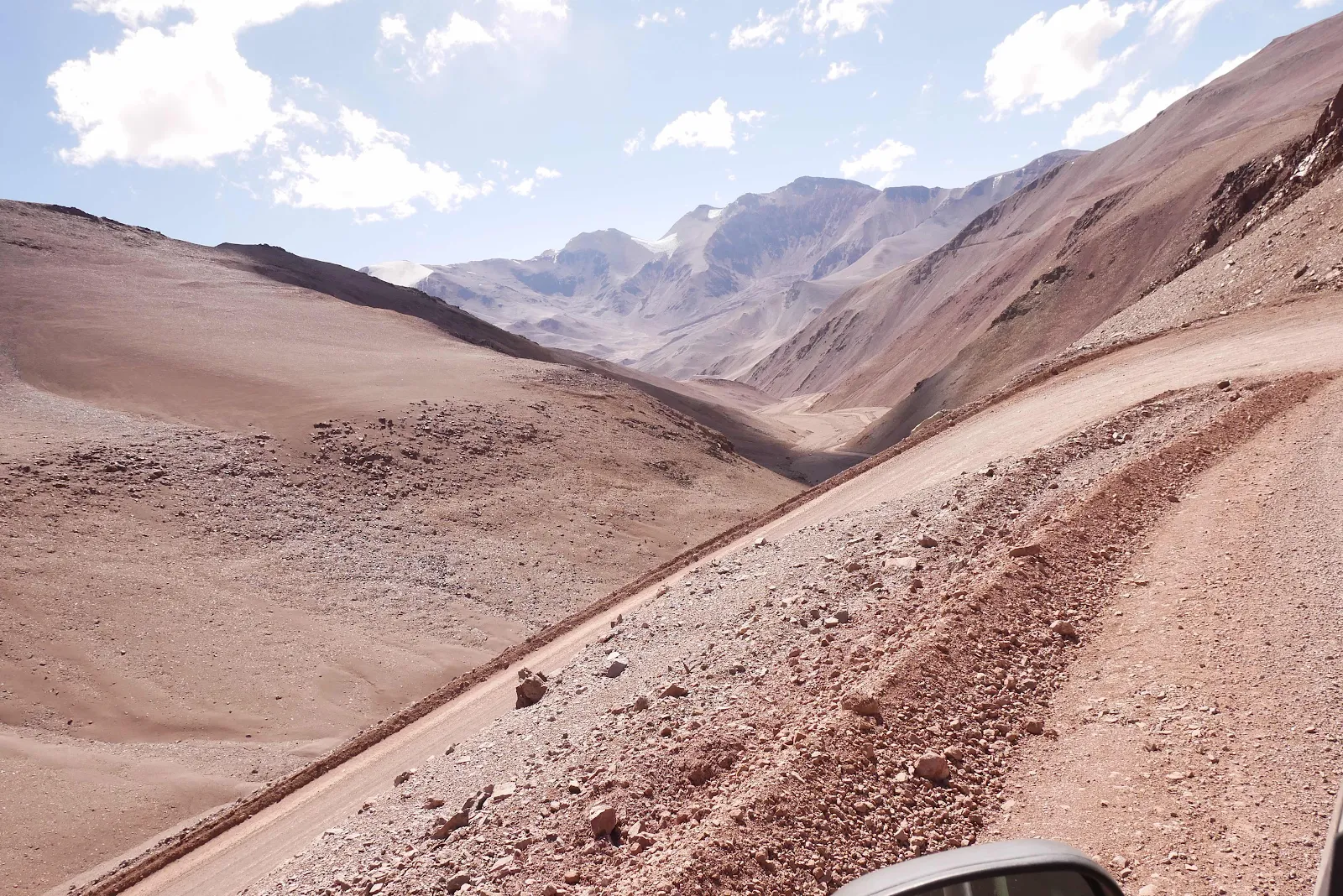
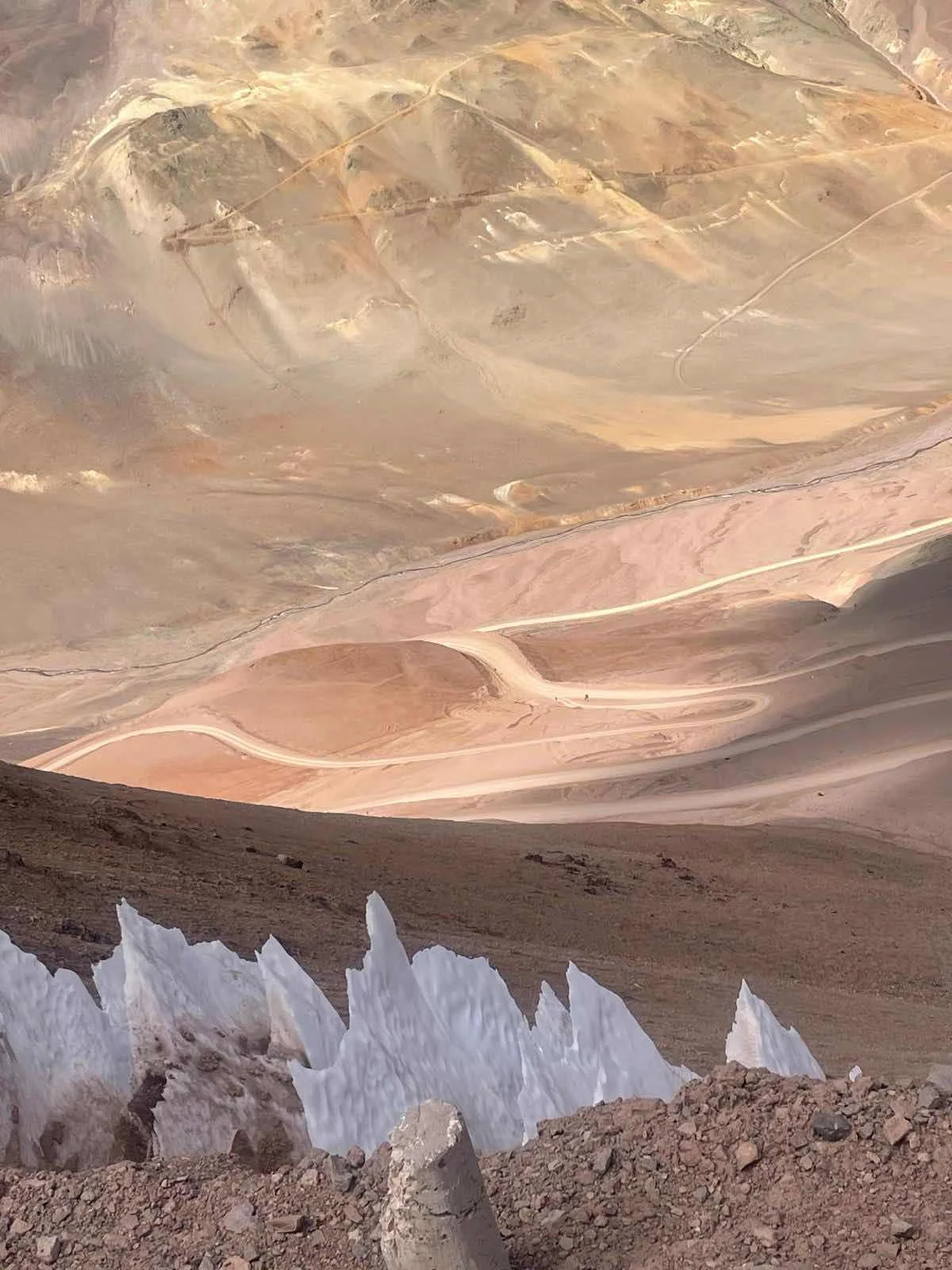
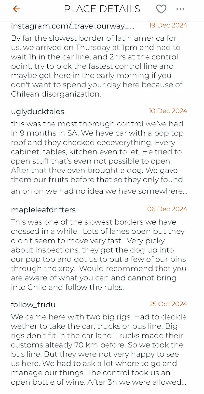
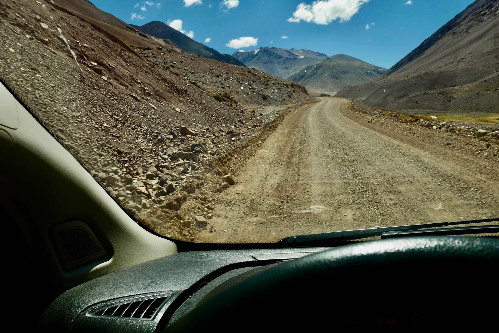
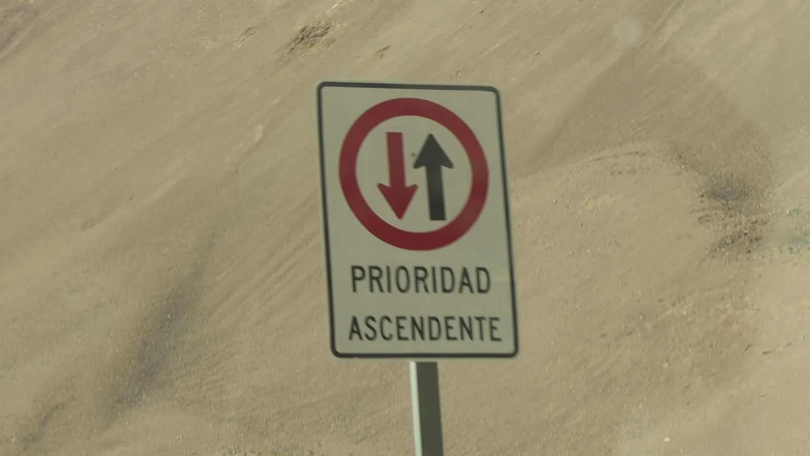
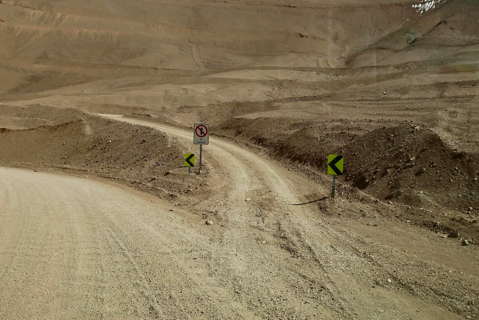
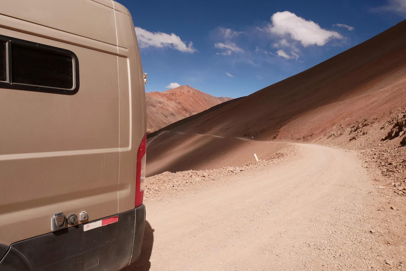
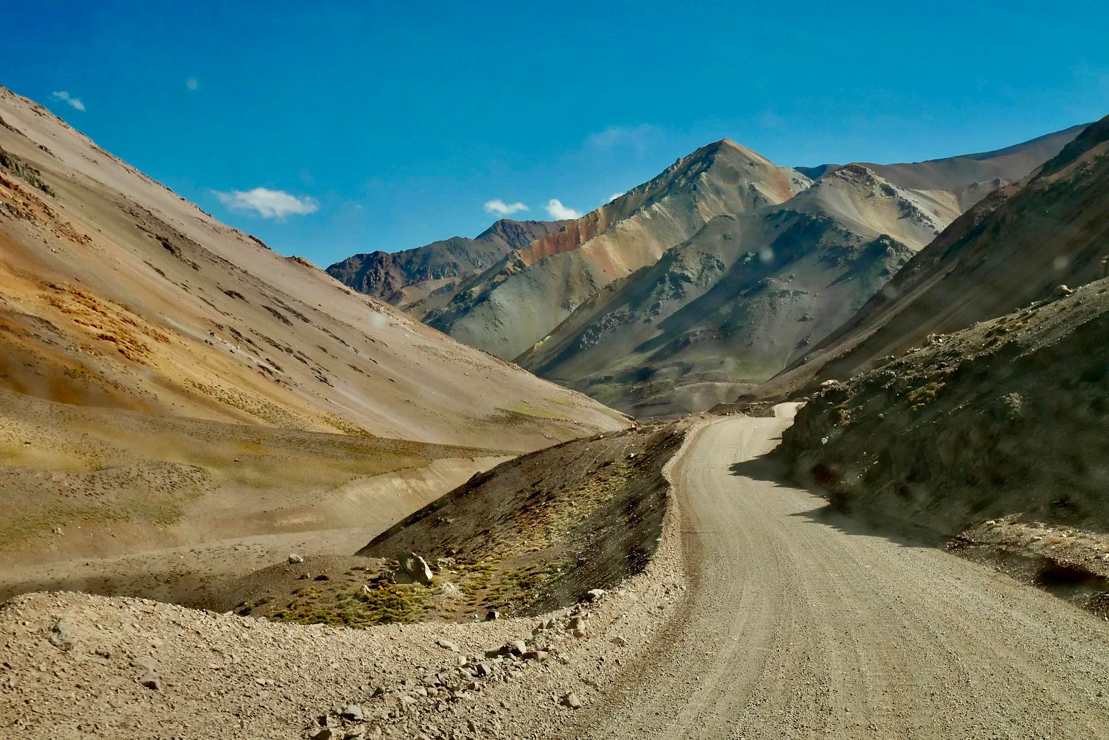
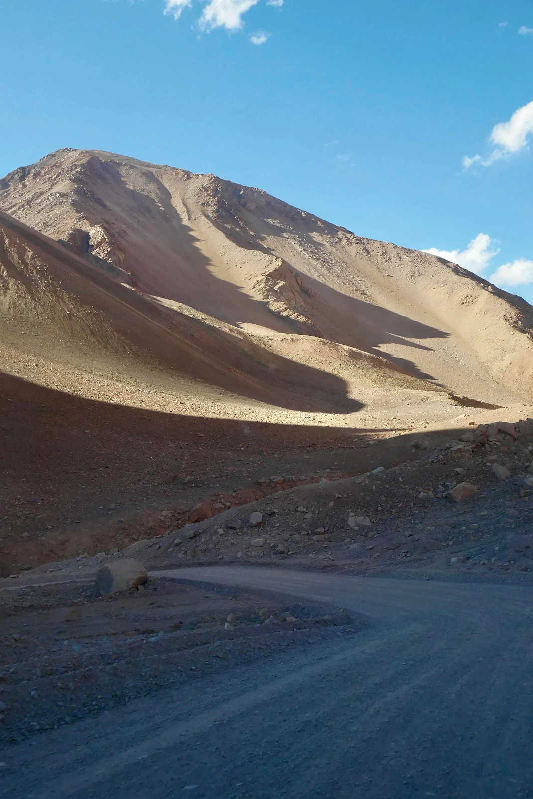
Photographs are notorious for failing to show gradients properly and the steepness of roads is usually hidden. A case in point:
As we rolled downhill we both came to the conclusion these uphills  could be hard to negotiate in an RV or a heavily loaded van like GANNET2. 
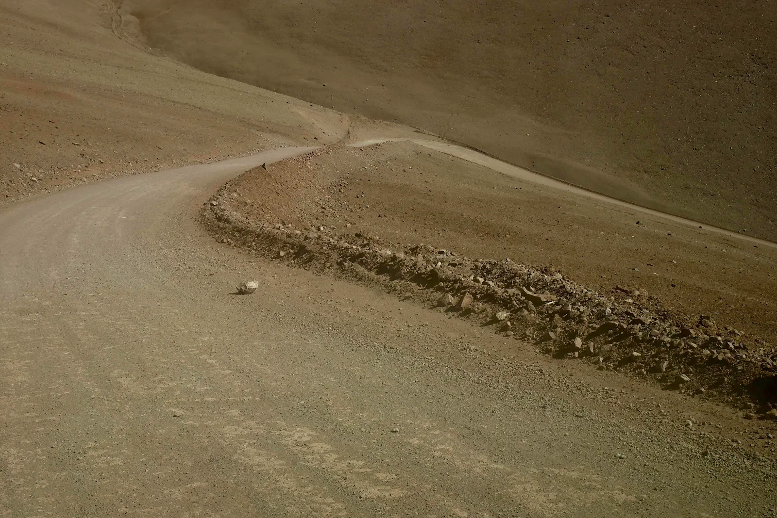
Partly it’s the gradient which was steeper than it looks, on dirt and at 15,000 feet where the engine loses a lot of power. 
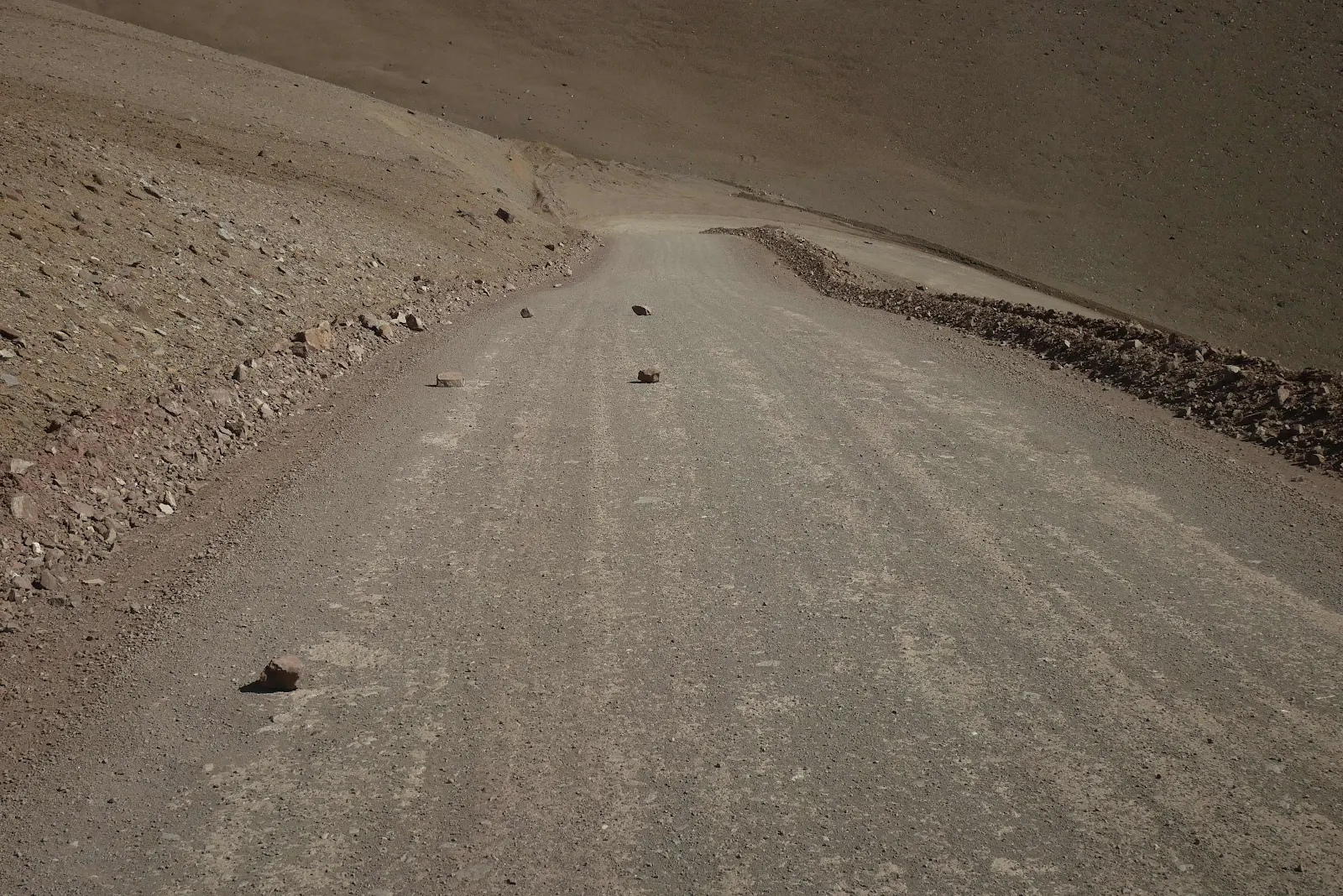
We were glad we had come up the Argentine side and only had to go downhill here. 
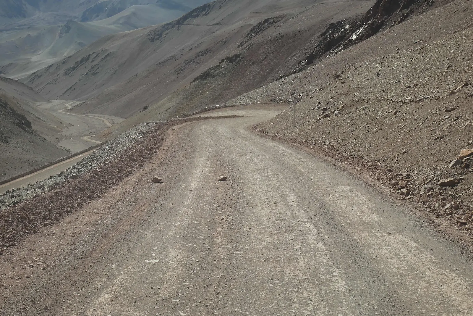
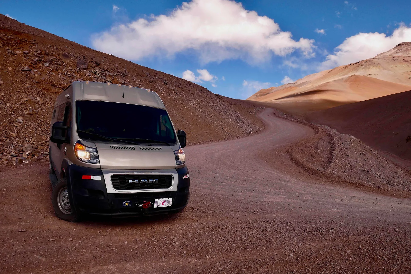
Michaelangel caught up to us here coming slowly down the hill. 
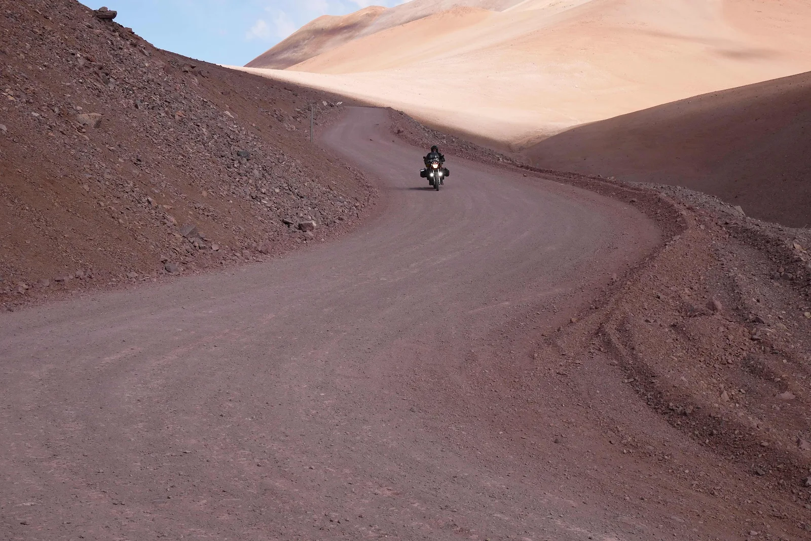
Where I stopped to take some pictures. 
We followed him down. 
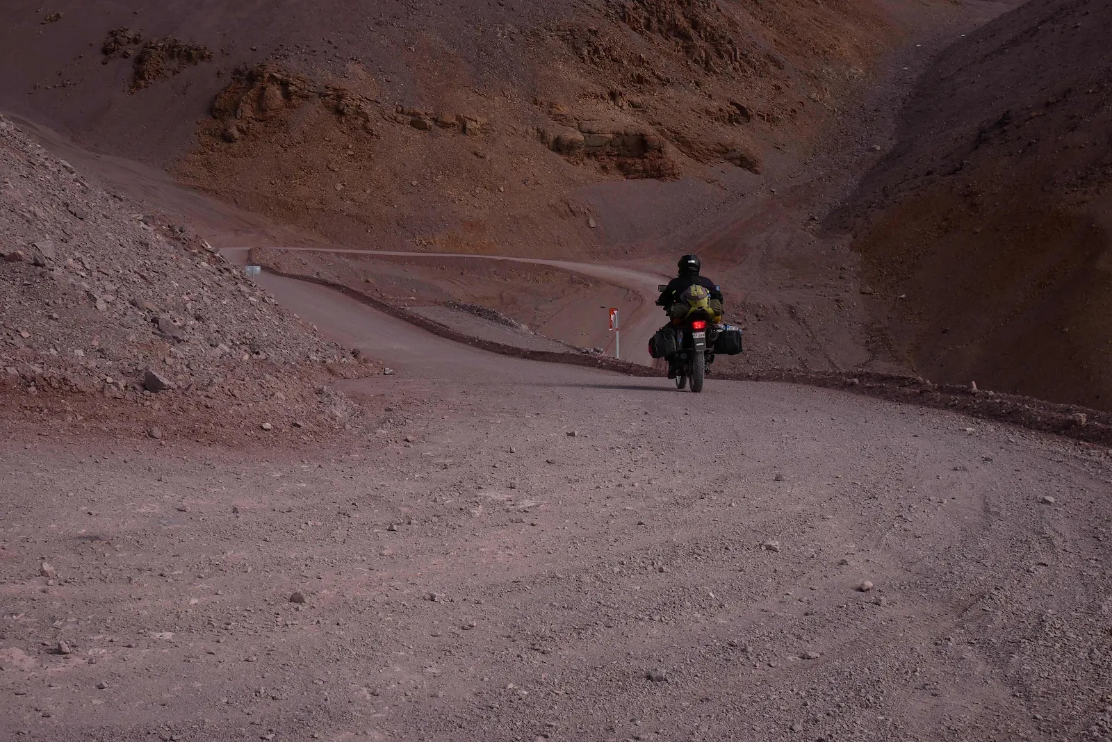
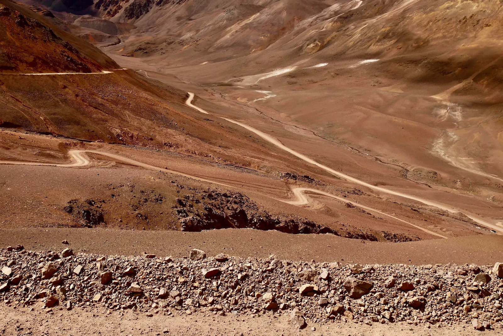
And down, a long way down. 
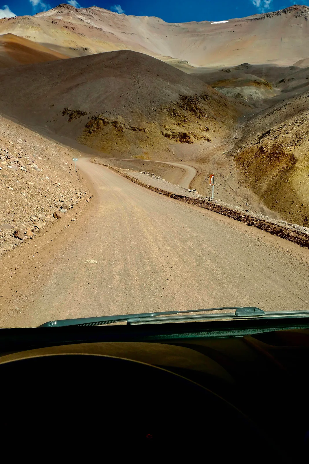
A nice bit of washboard on the way to make GANNET2 tremble a bit. 
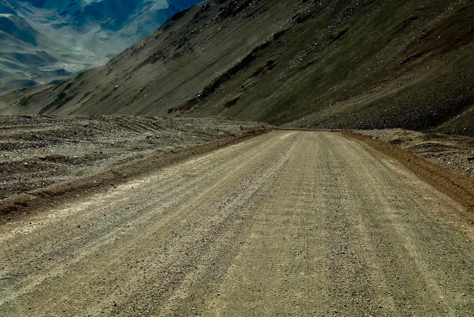
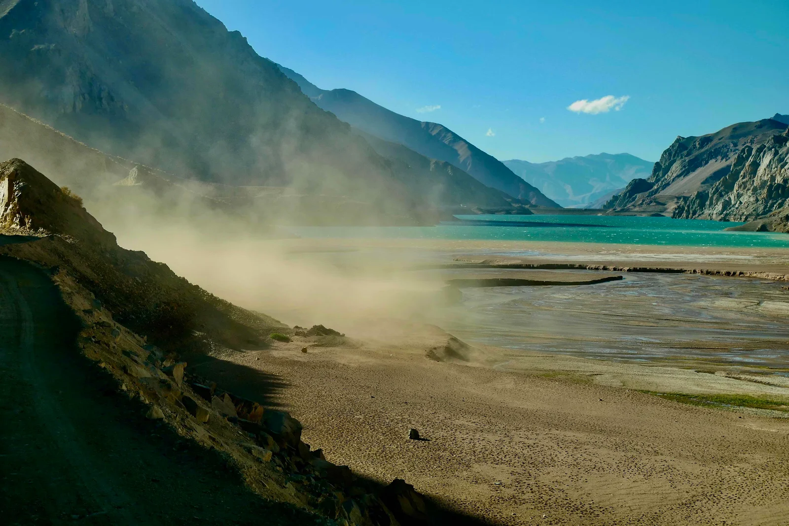
And a sudden burst of wind throwing a dust storm in our face. 
I had to stop for a few minutes to let it subside. 
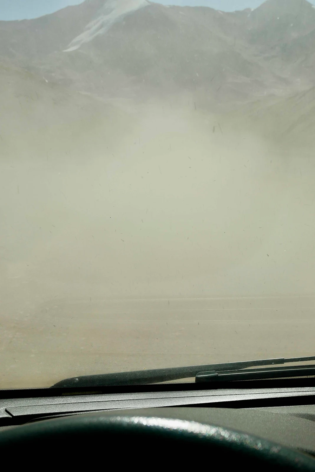
And then like that it was gone. 
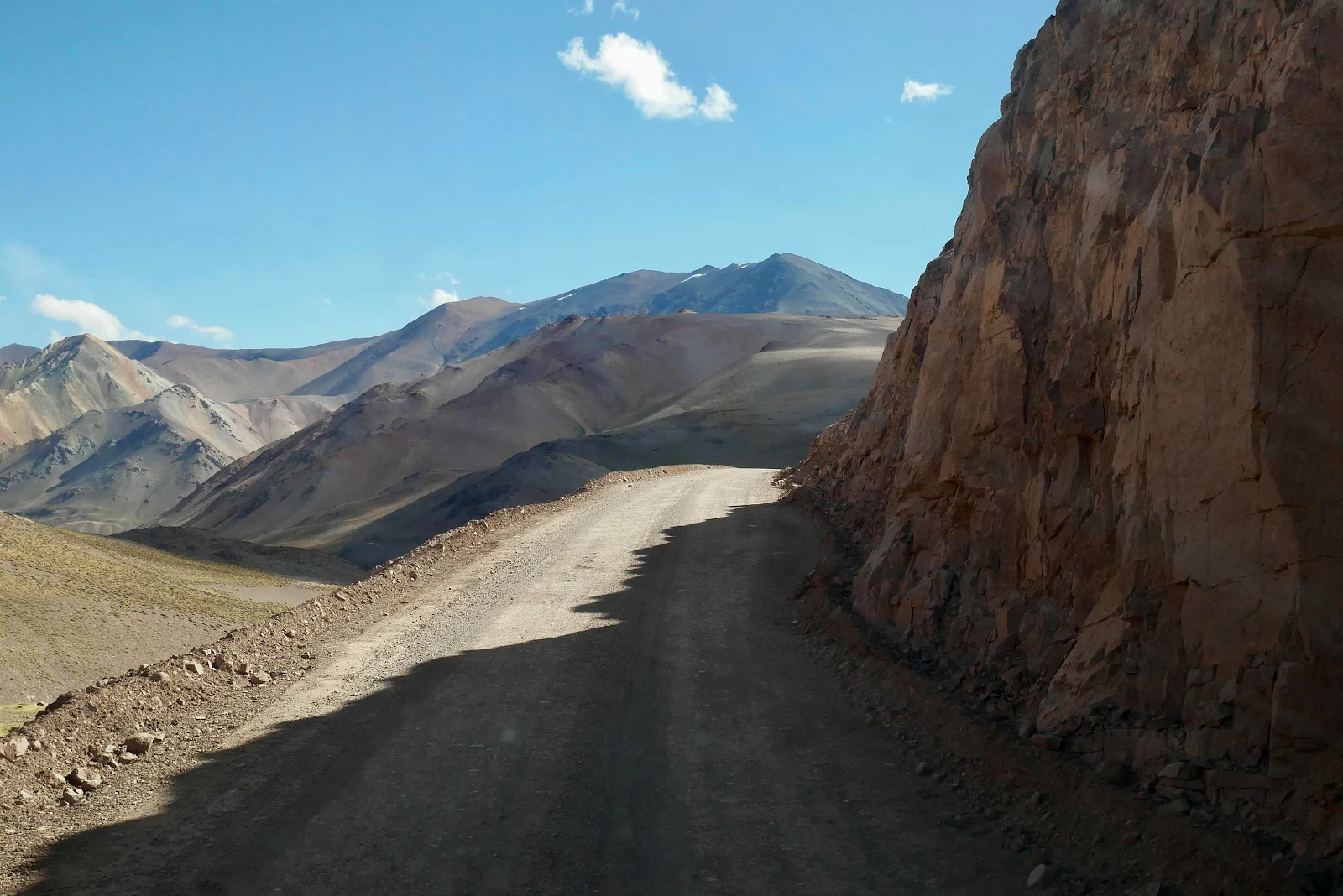
Oh look, a new member of team lost. Michelangel took the upper road but I stopped because I was pretty sure we needed to descend. Eventually he agreed and in fact turned around and cane back. I saw a diversion sign in the valley and I think this side road was a zig zag road for uphill traffic to avoid the excessively steep parts we were driving down. 
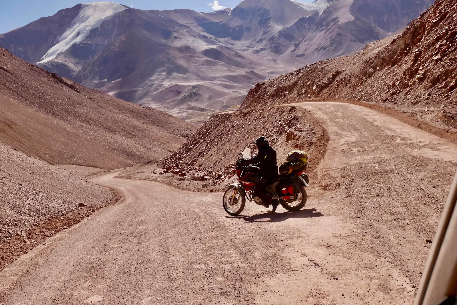
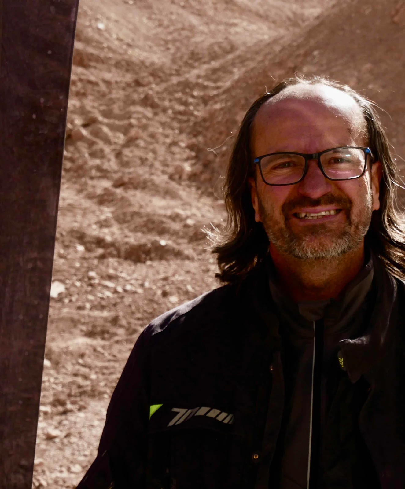
He stopped to say goodbye as he had to get to the police post to report a motorcyclist he had met earlier on who had two flat tires and was stuck by the side of the road somewhere back in Argentina. 
We were below 13,000 feet here and it got a bit more comfortable. 
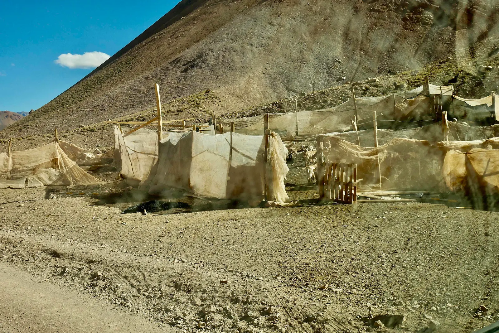
A temporary summer pen with some goats and sheep sheltering in it.  
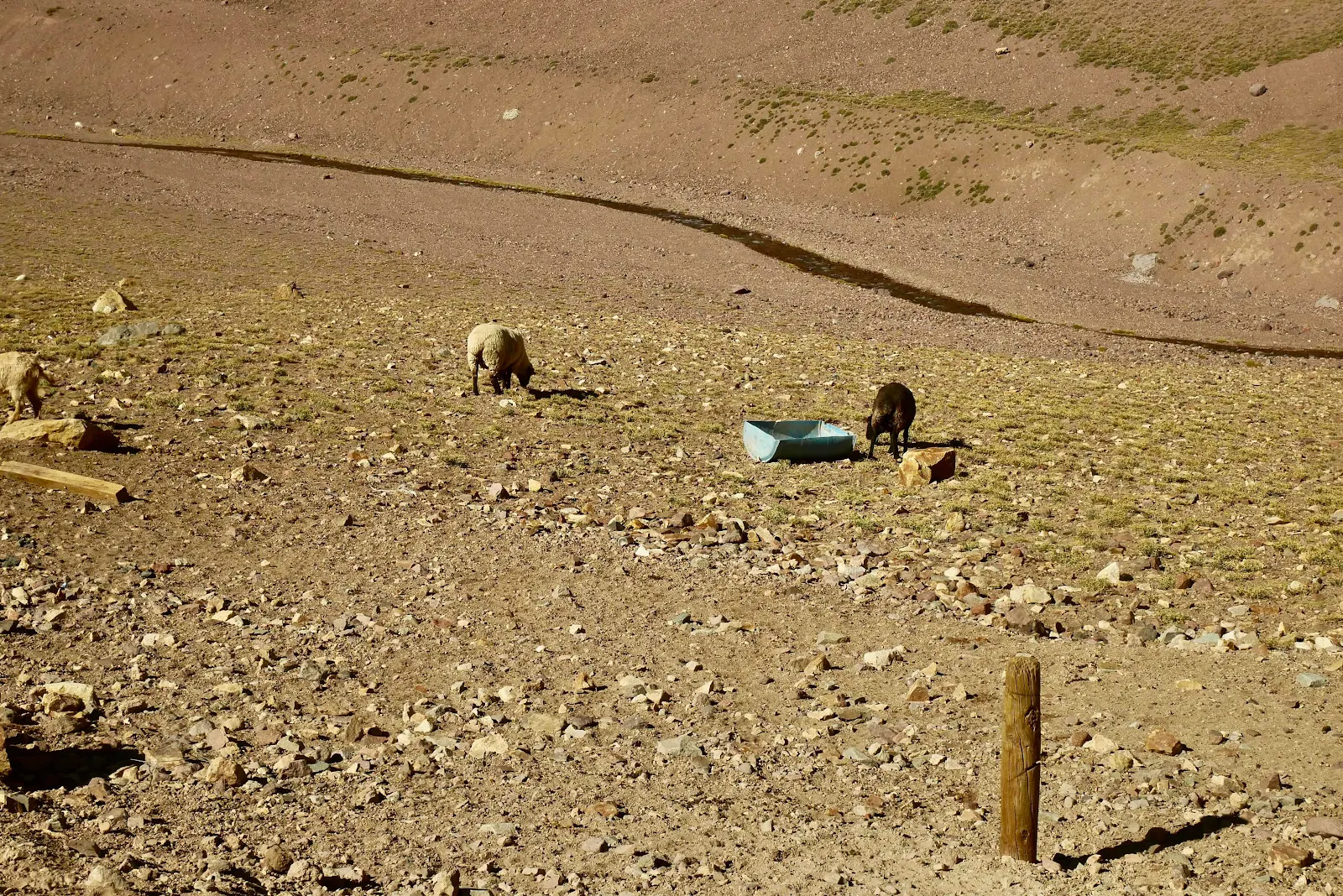
Slim pickings on their summer vacation at high altitude. 
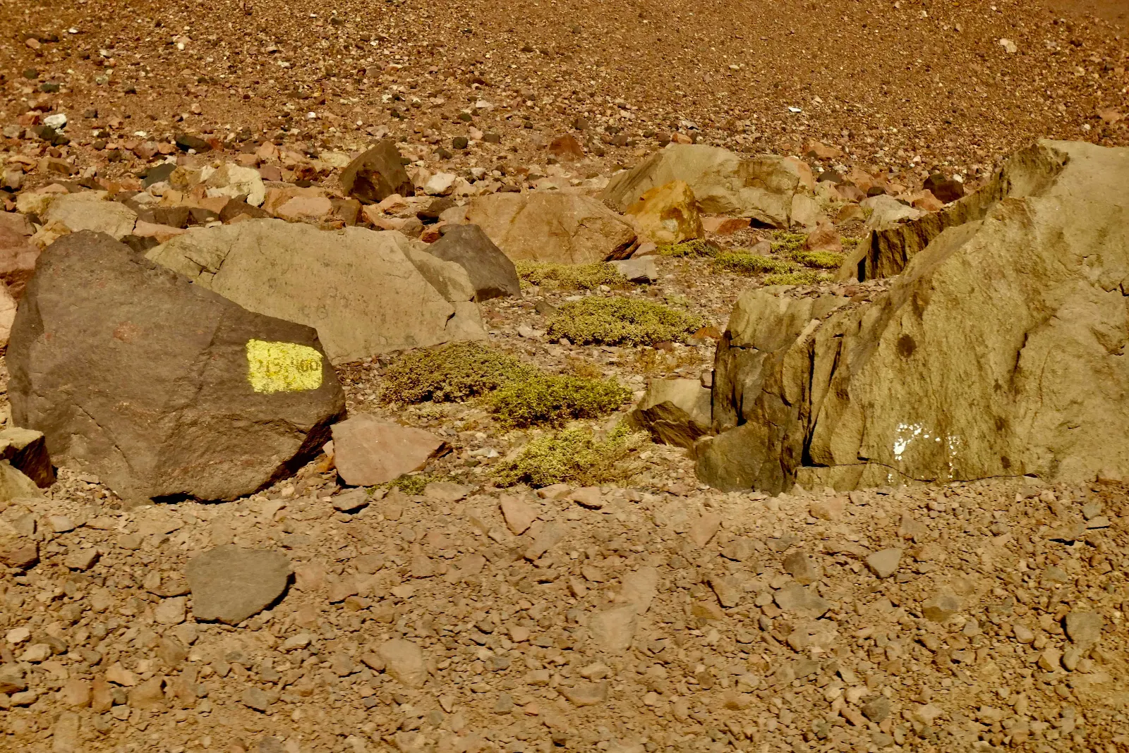
The Chileans paint mile markers every few hundred feet. 
The sun was heading to the horizon as we slowly descended. We planned to sleep around 10,300 feet where oxygen levels should be comfortable. 


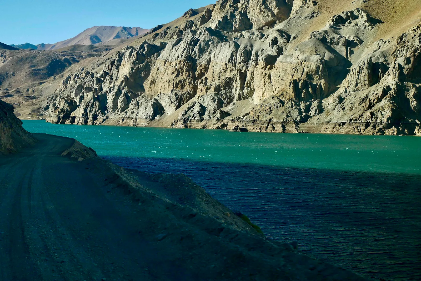
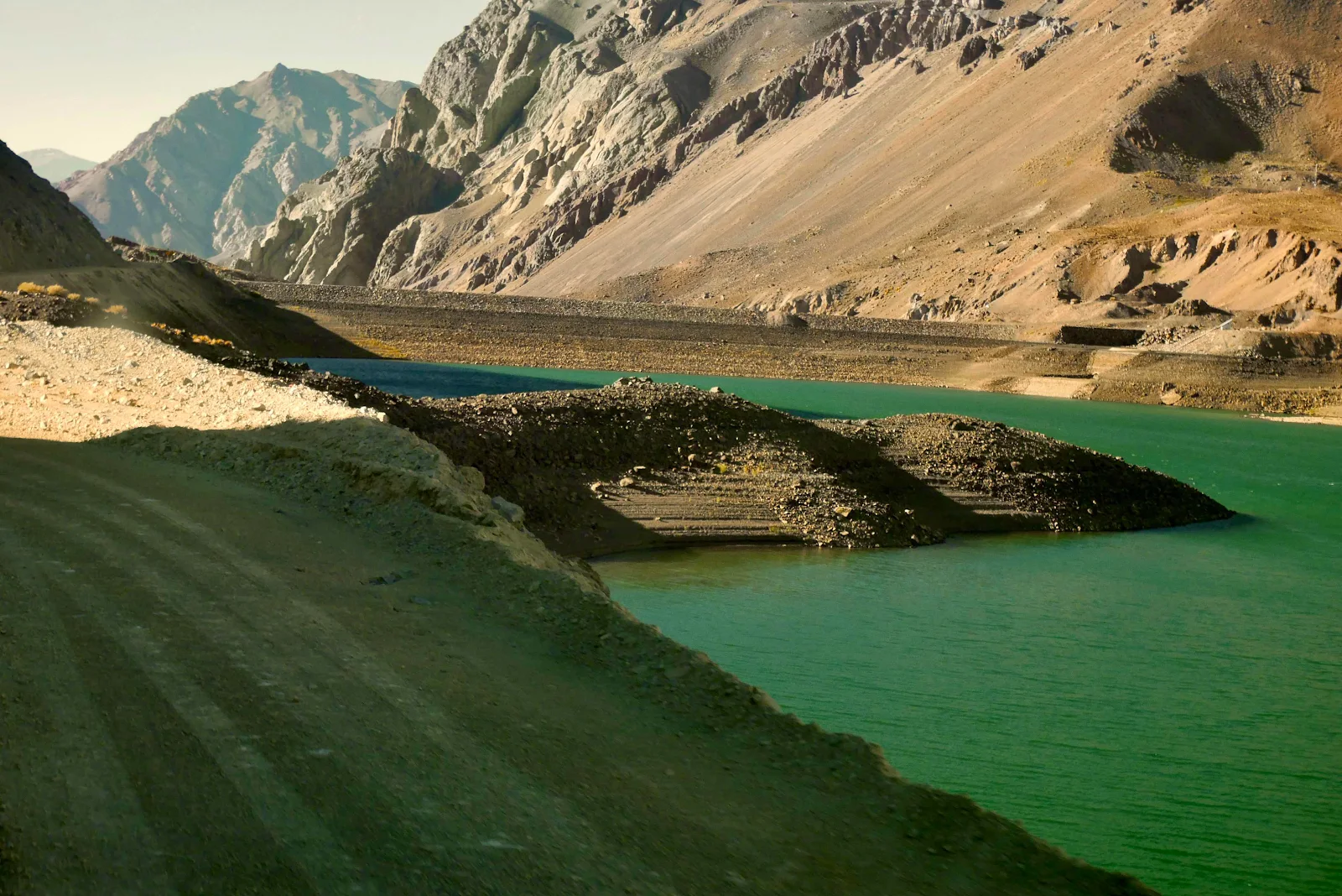
The lake was our goal for the night. 10,300 feet with several spots marked to fiend the night. We were about five miles from pavement and twenty five miles from Chilean customs. And boy, were we tired. 
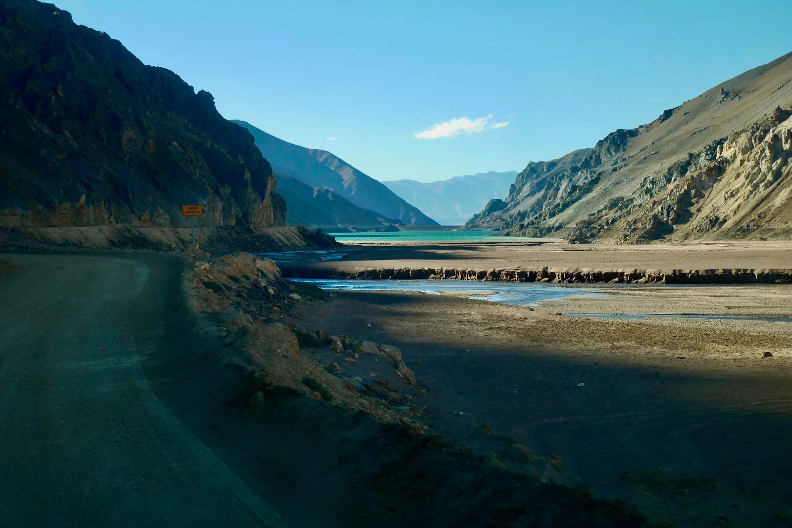
It was windy of course. 
If you think about altitude too much it will drive you nuts. At this point we were higher up than Leadville Colorado which is the highest town in the US and we’ve camped around there in the national forests. Yet here we were glad to be this low for the night. 
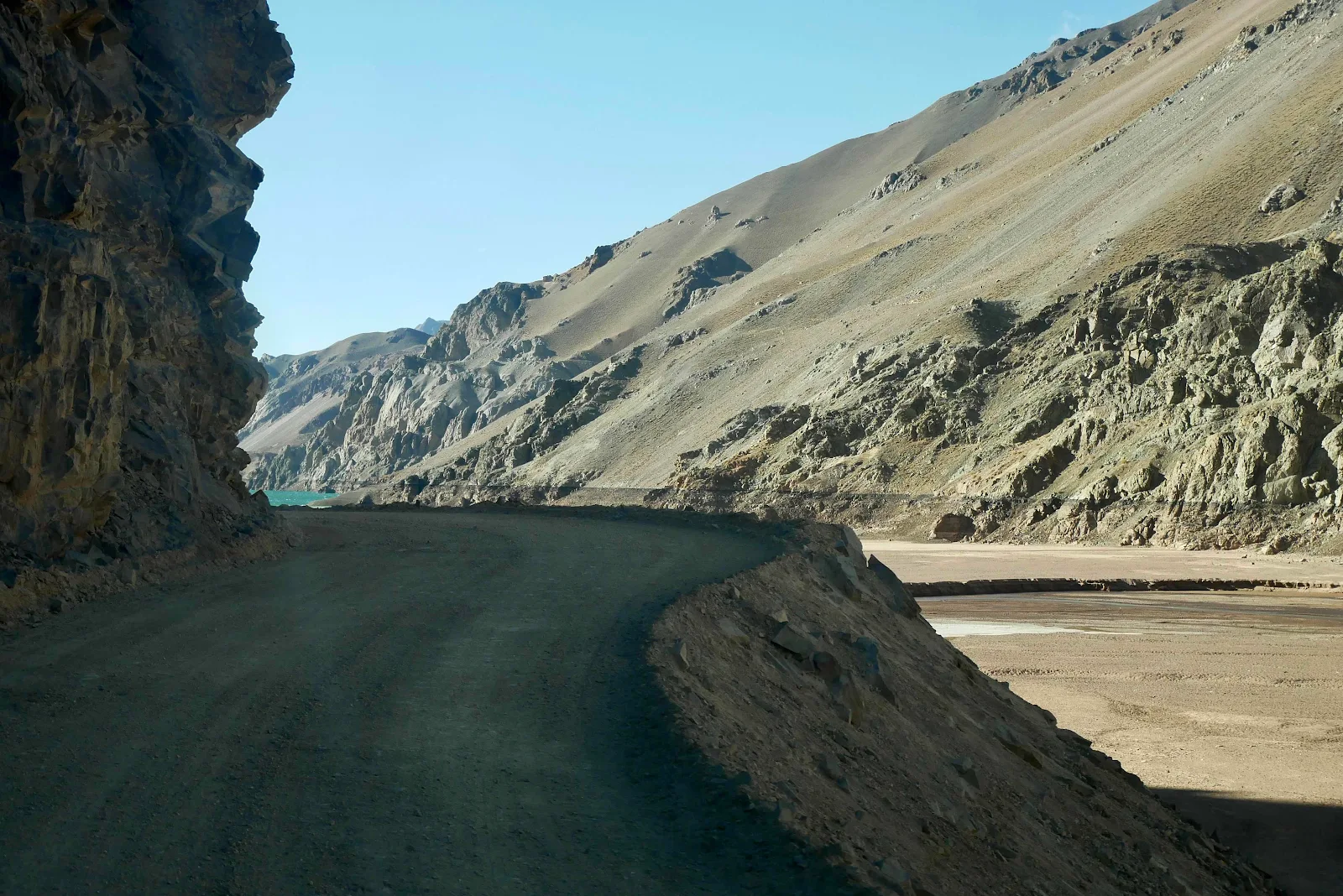


Done!  
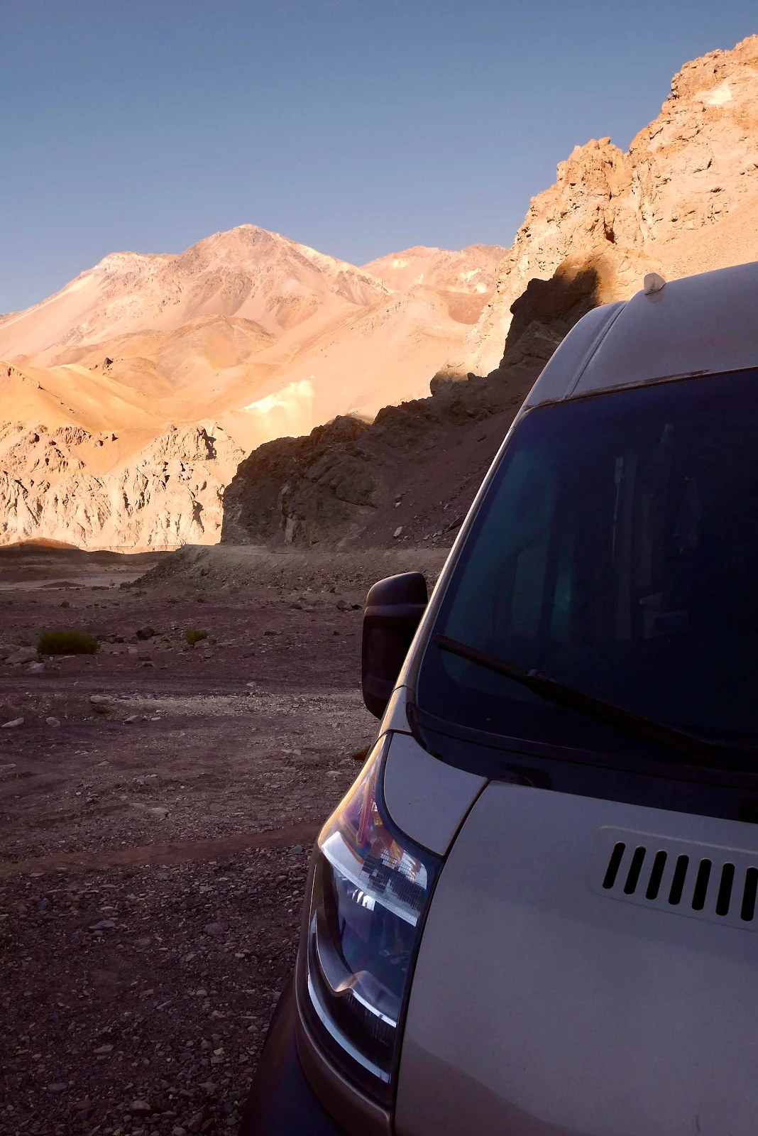
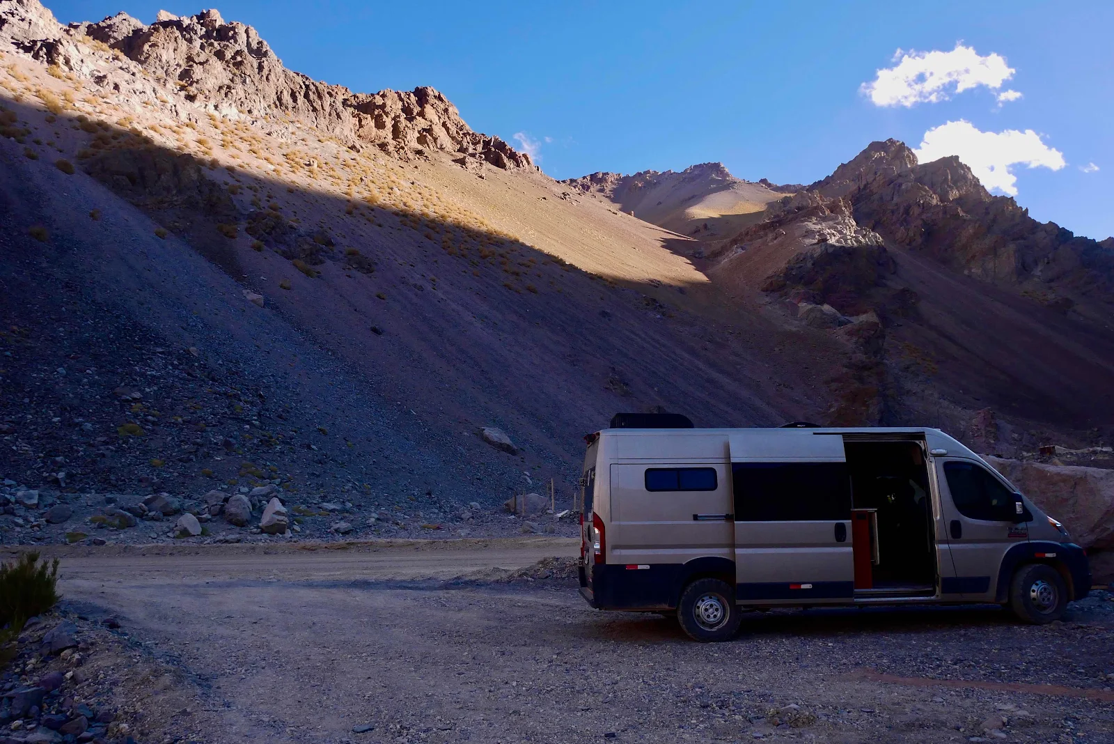
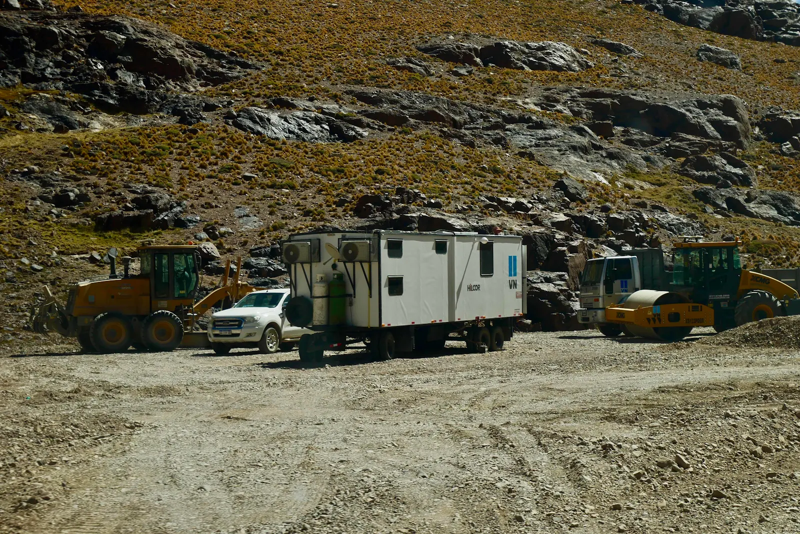
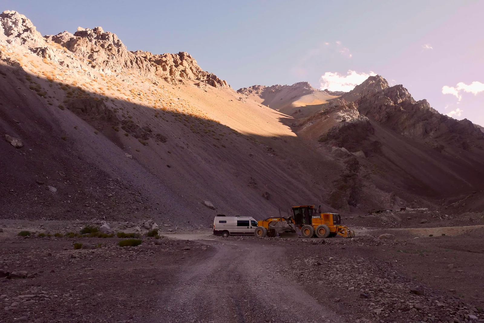
There was a grader parked just off the road and we pulled up next to it. It wasn’t the greatest campsite but it was easily accessible and there would be no traffic at night and the sheep pen at the head of the valley was unoccupied. Good enough for two tired travelers and one energetic  dog. 


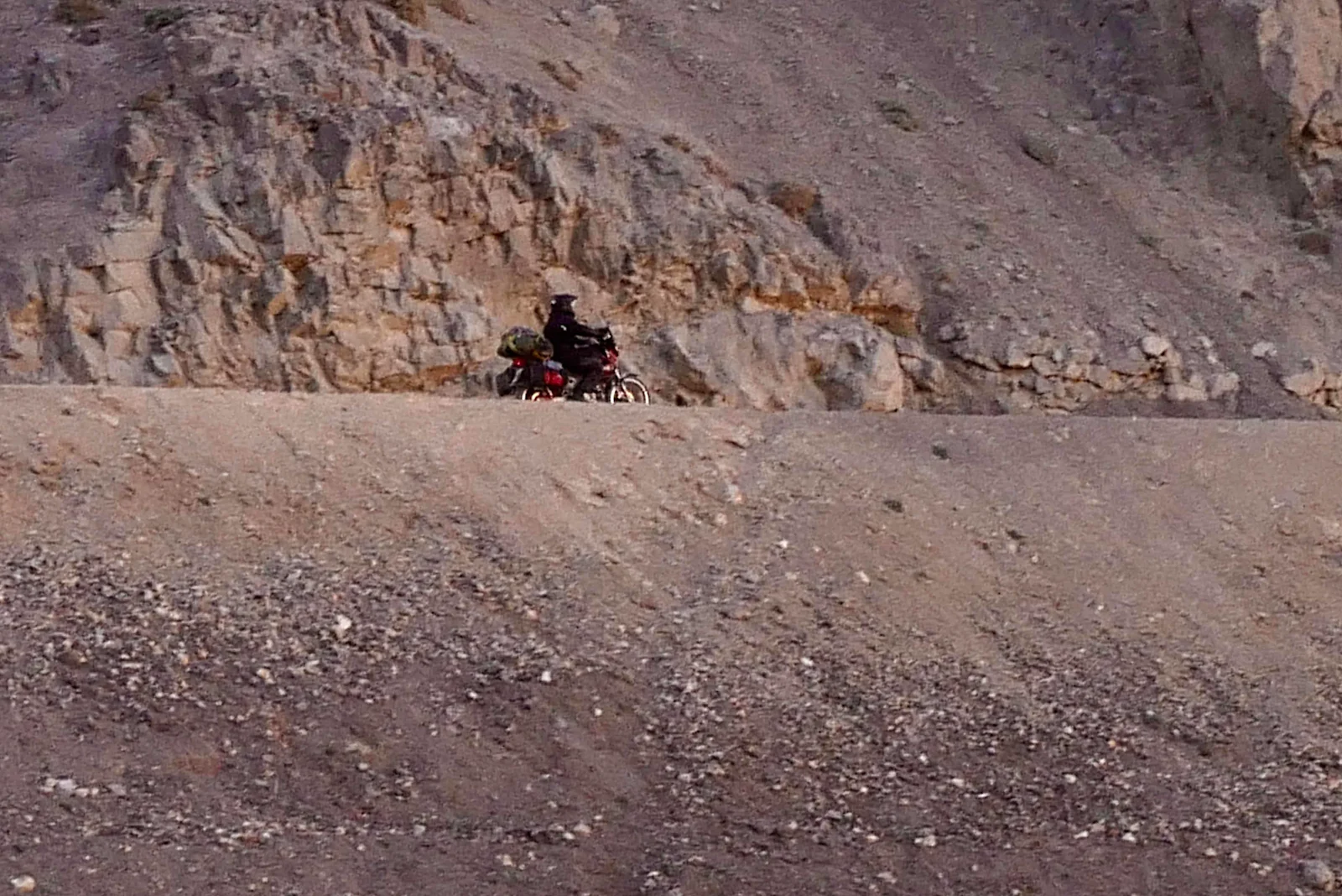
Michaelangel somehow only caught up to us here and waved as he rode by.  I got a message later he made it home in good order.
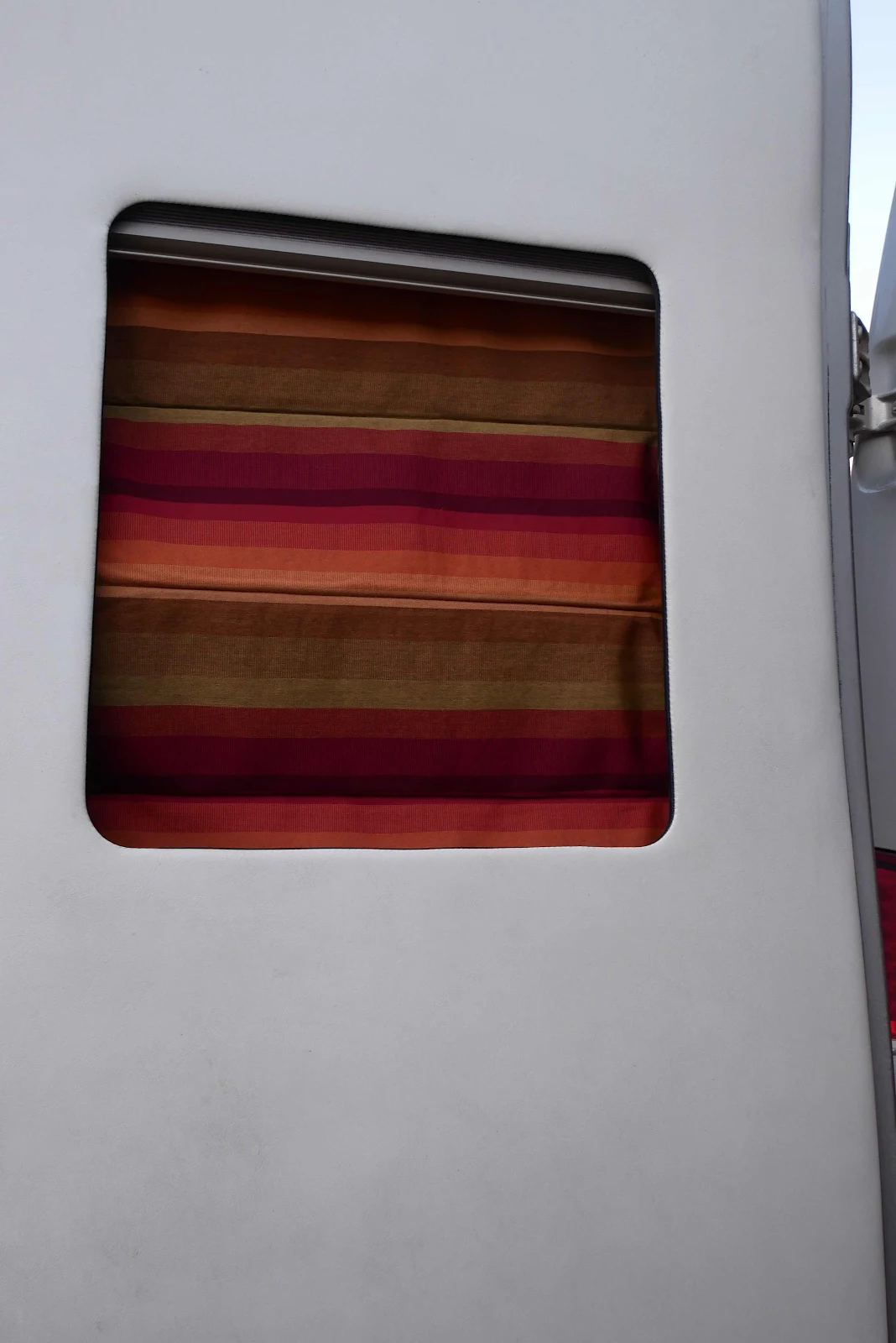
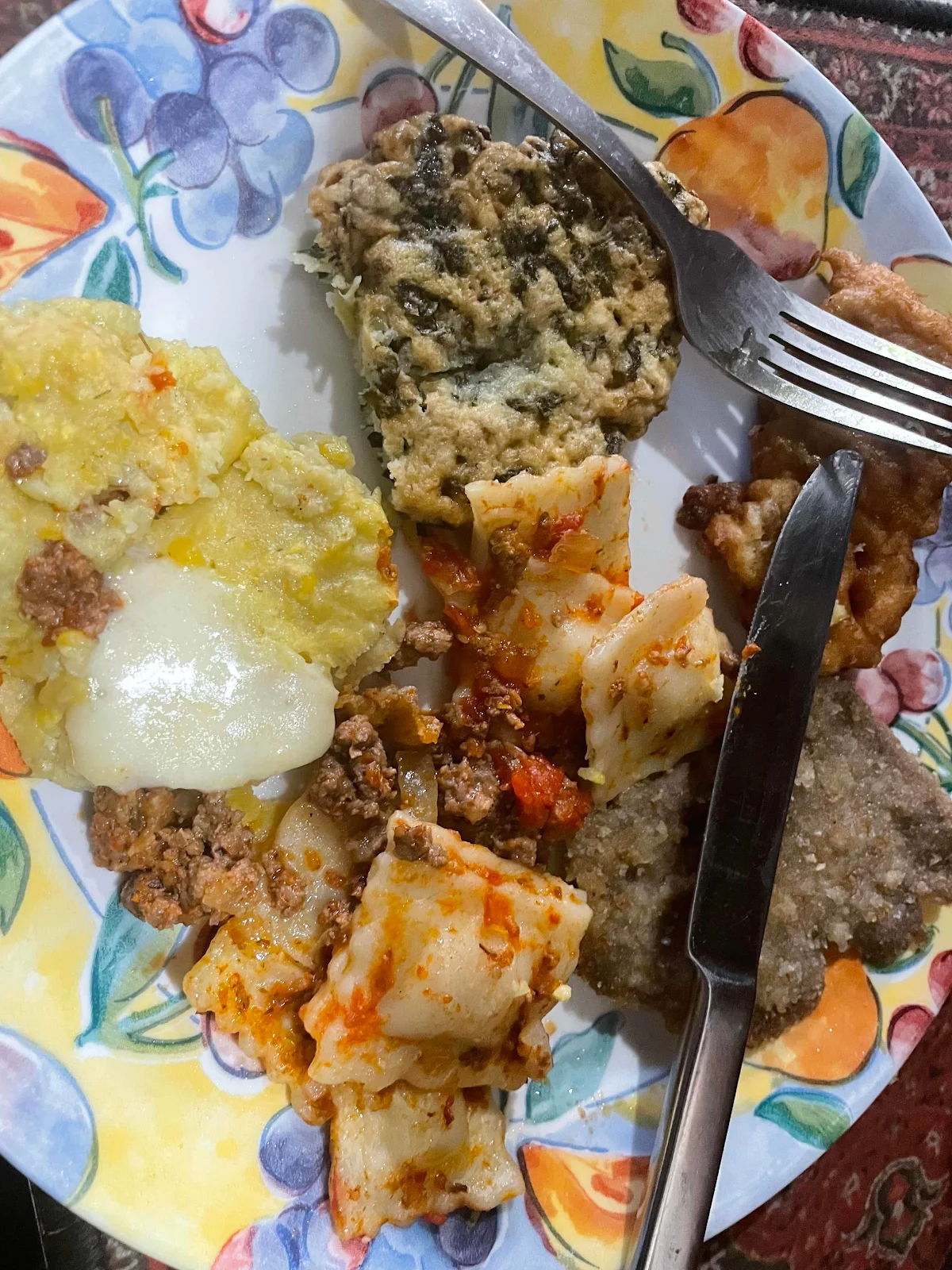
Layne sorted out  our to go foods from the Argentine restaurant which we brought to reheat for an easy dinner while I pulled out our window covers.
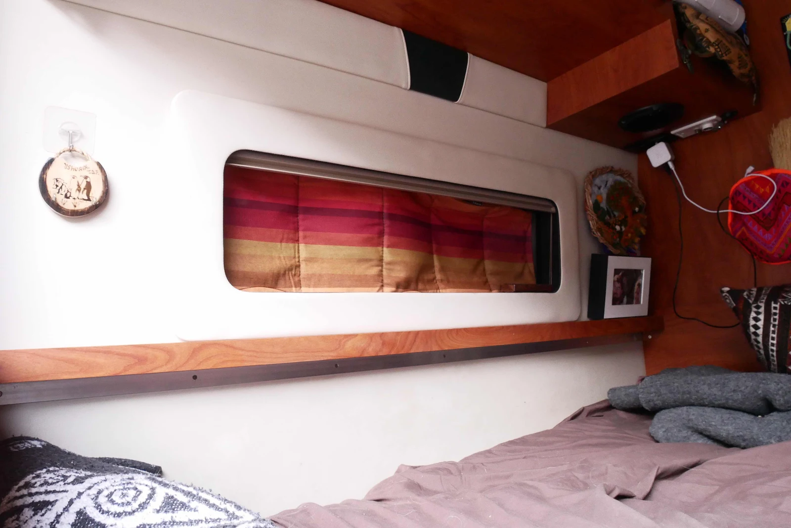
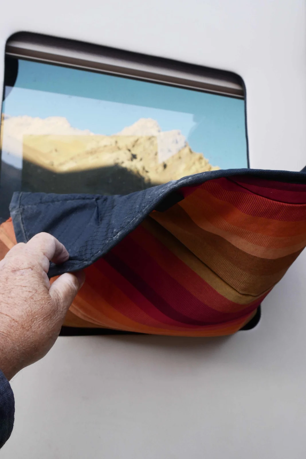
Window covers: check.
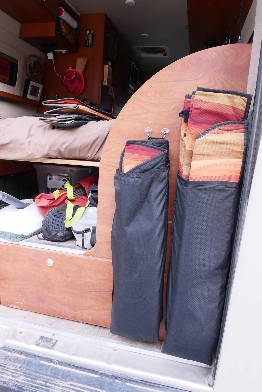
They are an insulated set from a company called Nightfall and they make all the difference. The interior becomes a cave but we hear no noise and feel neither cold nor heat inside. 
In the morning ing water puddles were frozen but after we ran the engine for twenty minutes we had enough heat to see us comfortably into bed. 


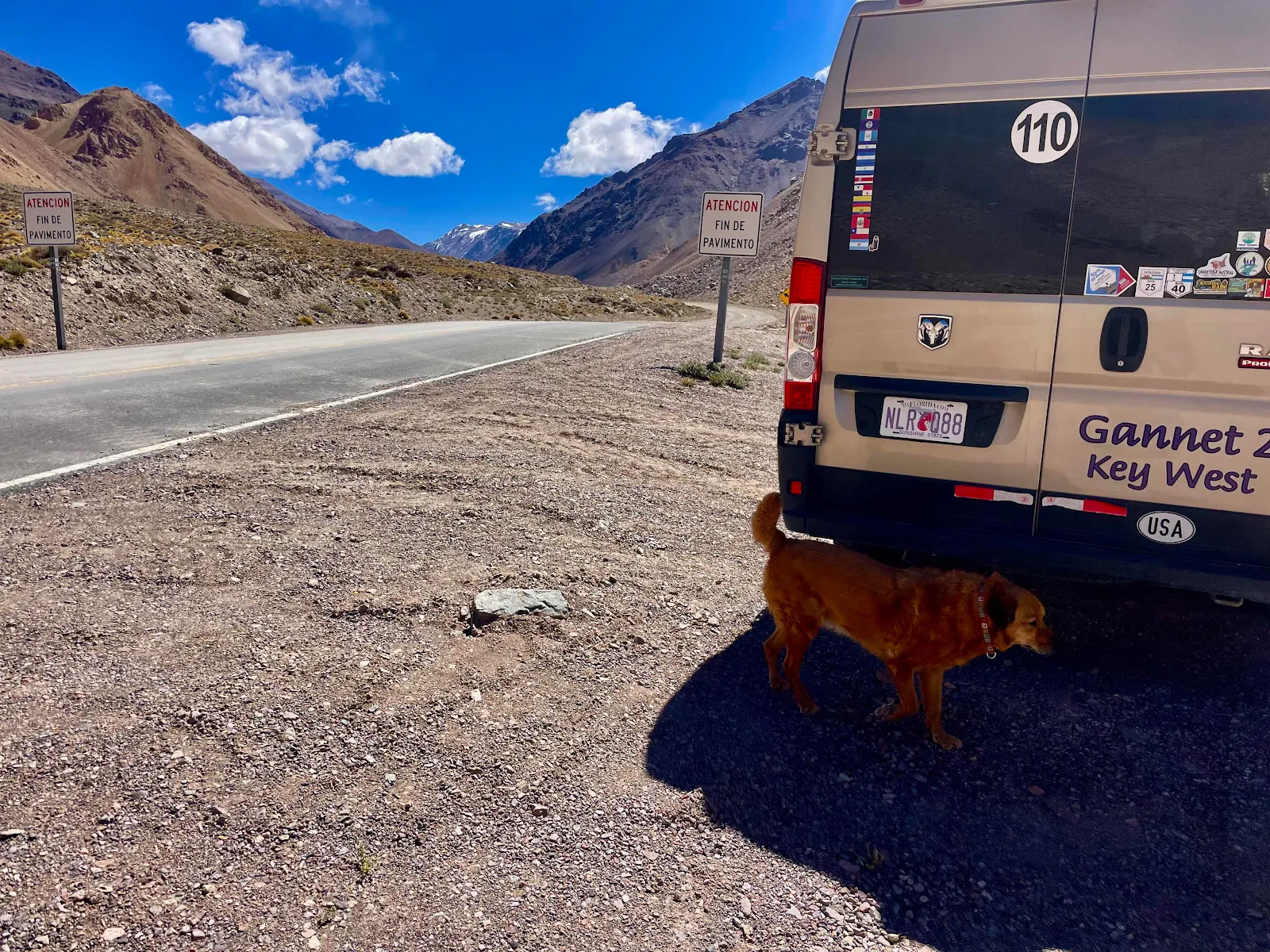
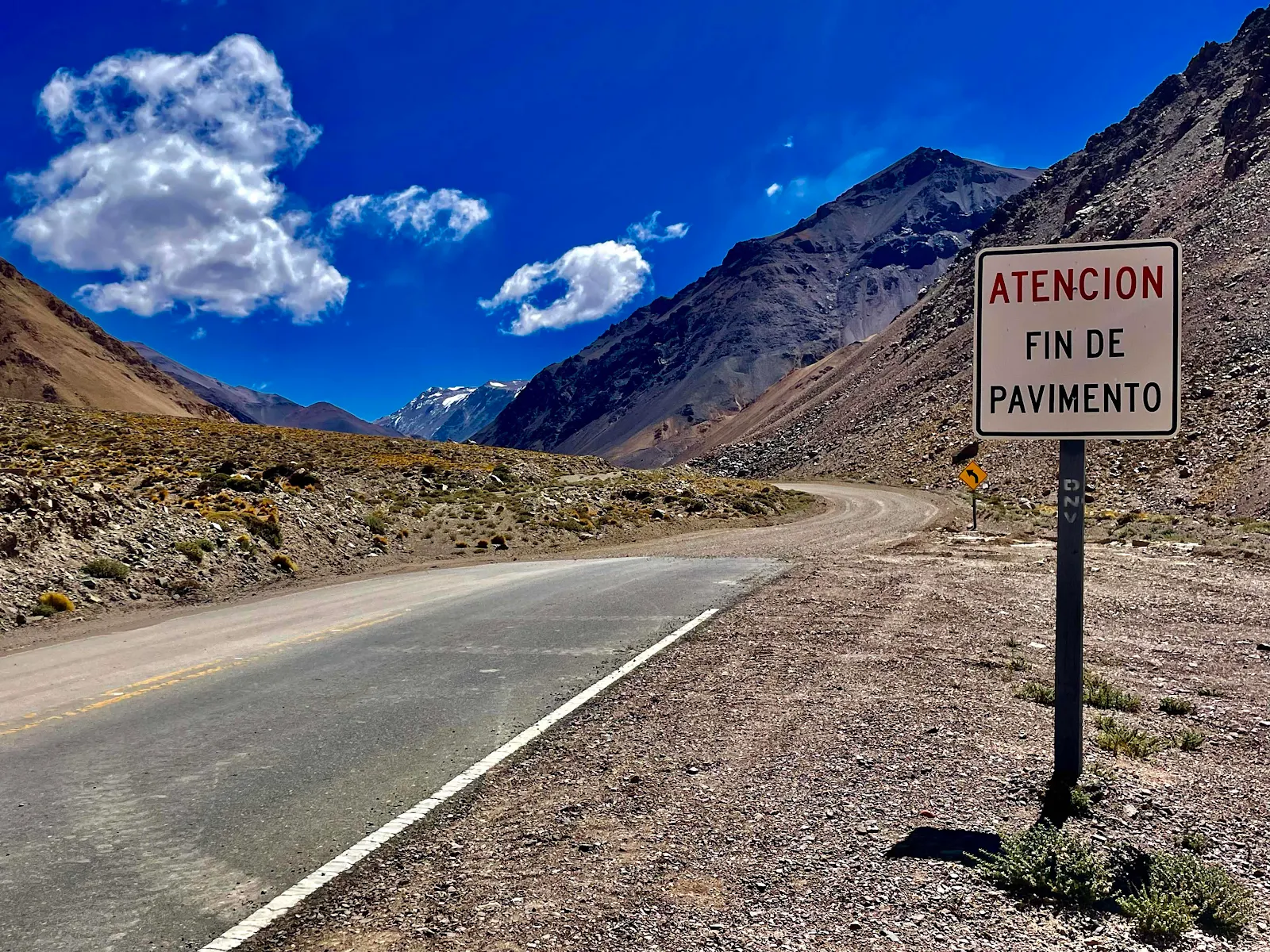
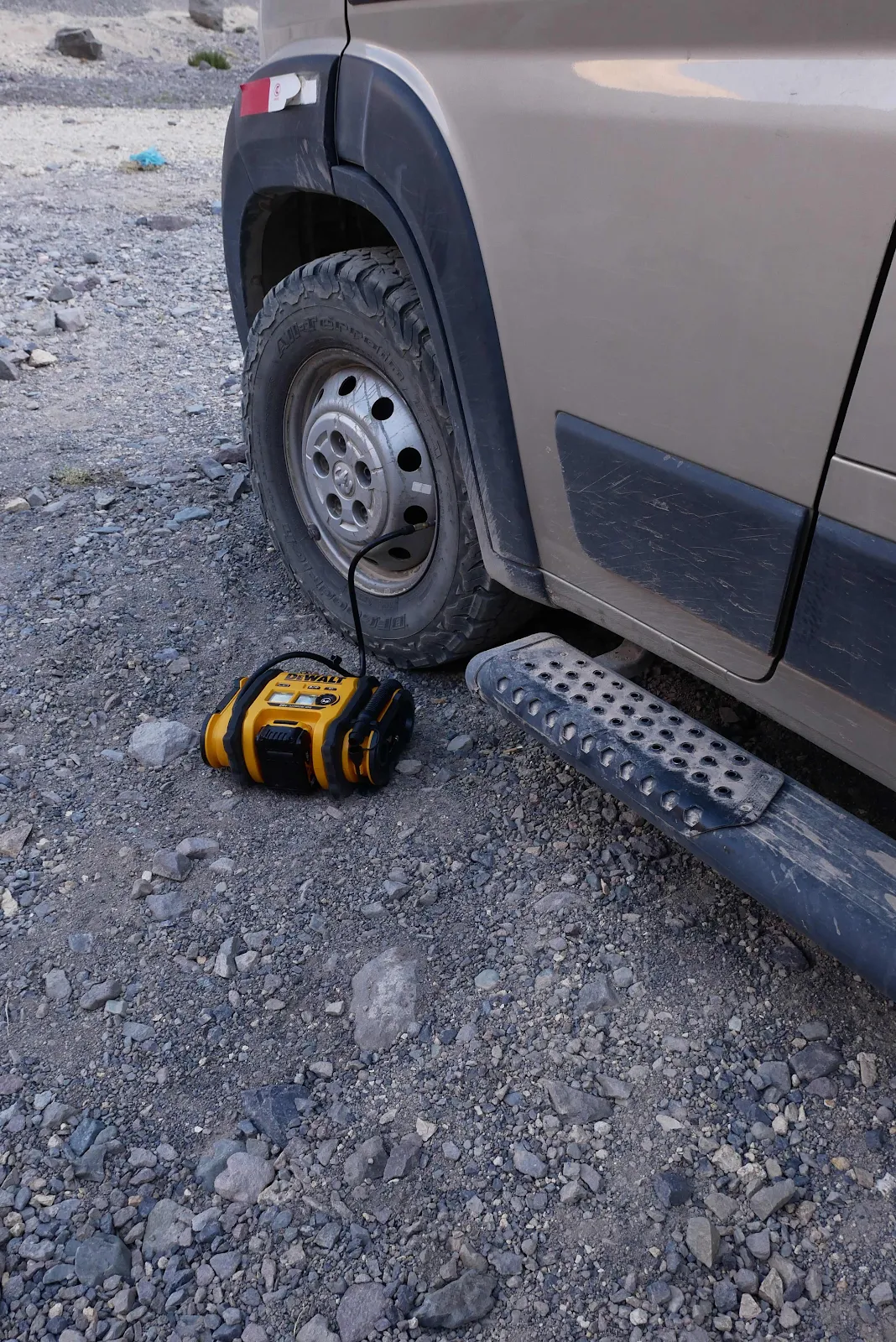
I added some air to the tires as pavement started in half a mile. I double checked the pressure in the morning to make it was right. 
His tireless majesty wanted a walk. 
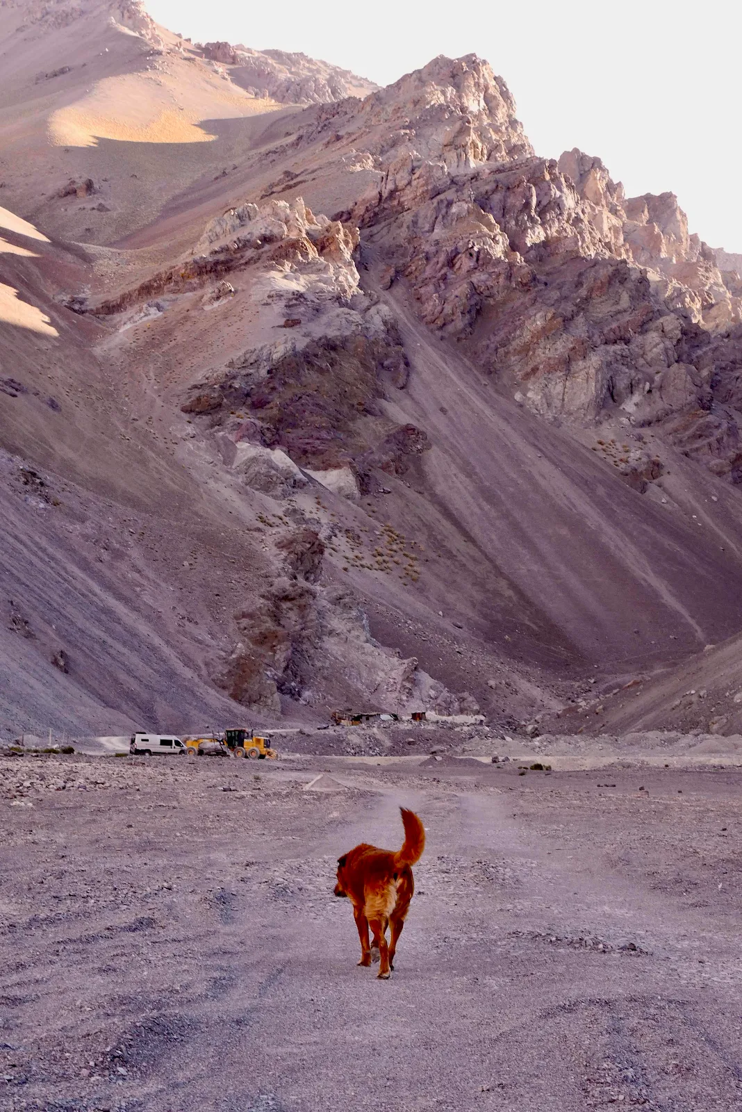
His wish was my command. 
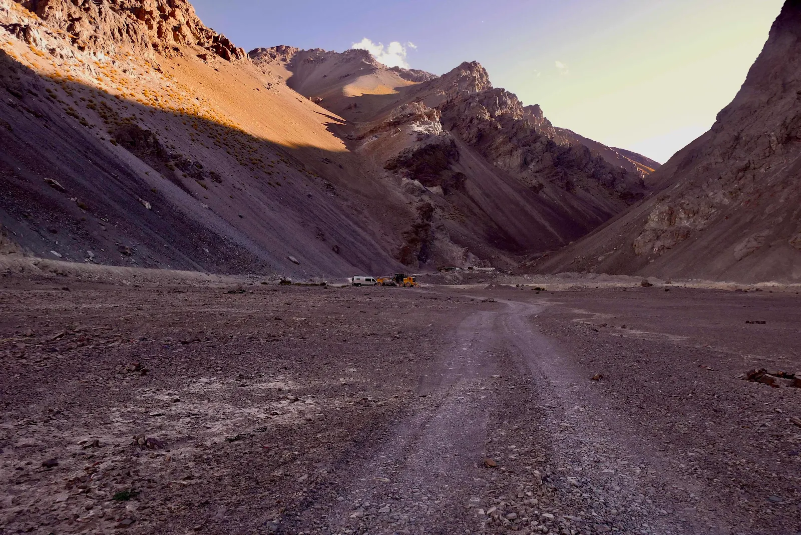
But I did not walk all the way to the water with him to enjoy the birds.
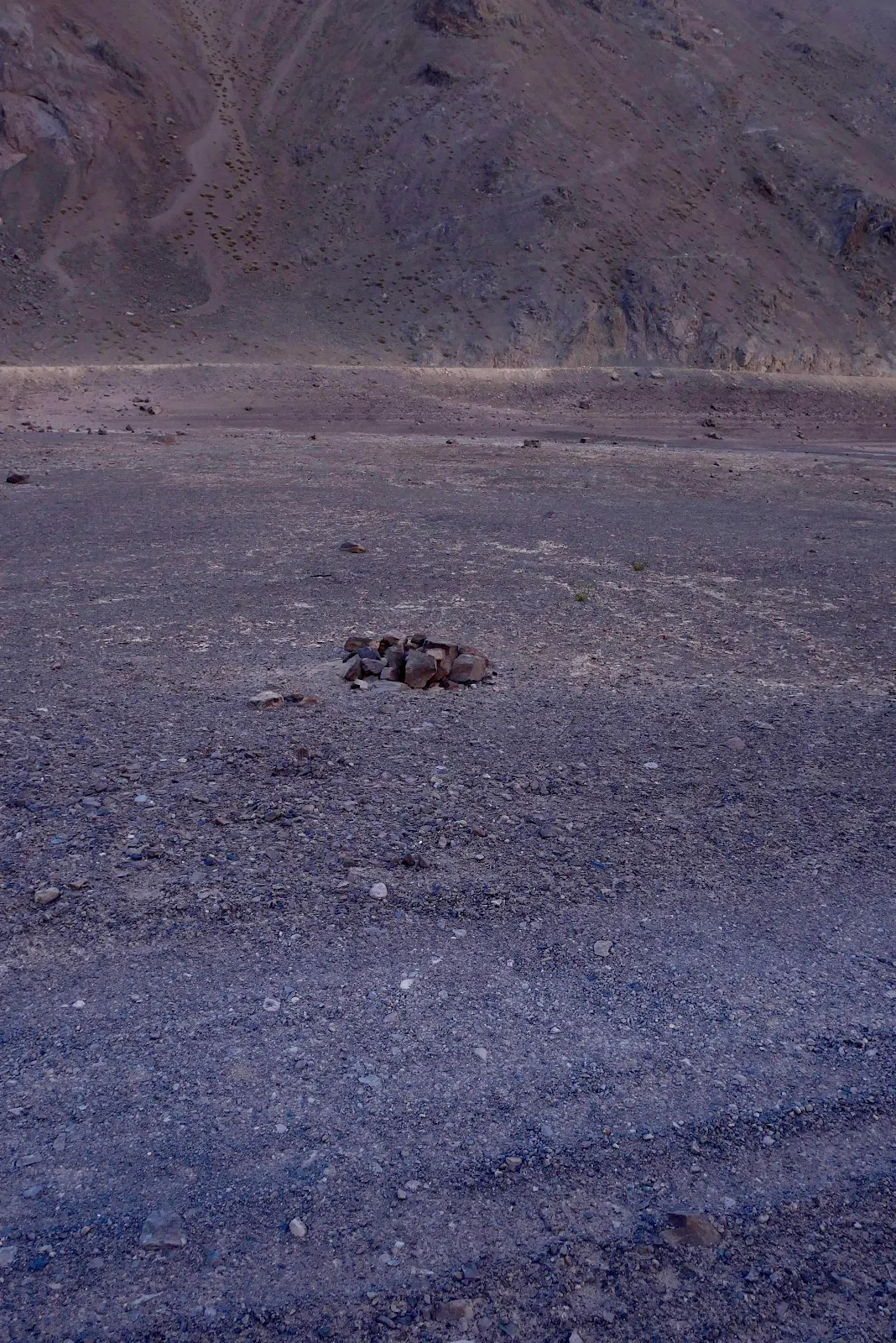
Argentines must have come this way as there is a fire ring to grill their meat. 
We were tired but we had so much coca the in our system we neither of us slept very well. “Are you awake? Me too,” all night was the chorus over the basso profundo snores of a dog, exhausted at last. 


Friday, March 28, 2025

Paso Agua Negra

There is a legend in my mother’s family that my grandmother, an Italian opera singer of some fame in the beginning of the 20th century, crossed the Andes on a mule. Actually it’s a true story, she came on tour to sing in Buenos Aires in 1917 and the opera company traveled to Santiago by mule to sing in Chile. The journey they say took a month. We did it in six hours.

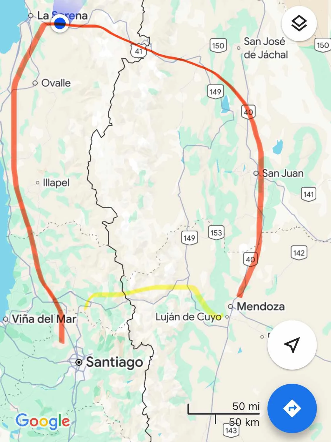
But that was only the worst of the mountain drive, six hours to the top and down to a safe altitude to camp for the night. Paso Agua Negra is only open in summer and it’s mostly a tourist attraction, where  the officials are easy going and commercial trucks cross at the more modern Paso Libertador, a tunnel connecting Mendoza and Santiago, properly paved and open year round.  Our route is marked in red, the direct route is in yellow. 

Why did we go the long way round? What a brilliant, if obvious question I asked myself. Firstly the comments in iOverlander are intimidating with friends of ours reporting the most intense searches of incoming vehicles by Chilean customs. It’s like the worst visit to a proctologist. 

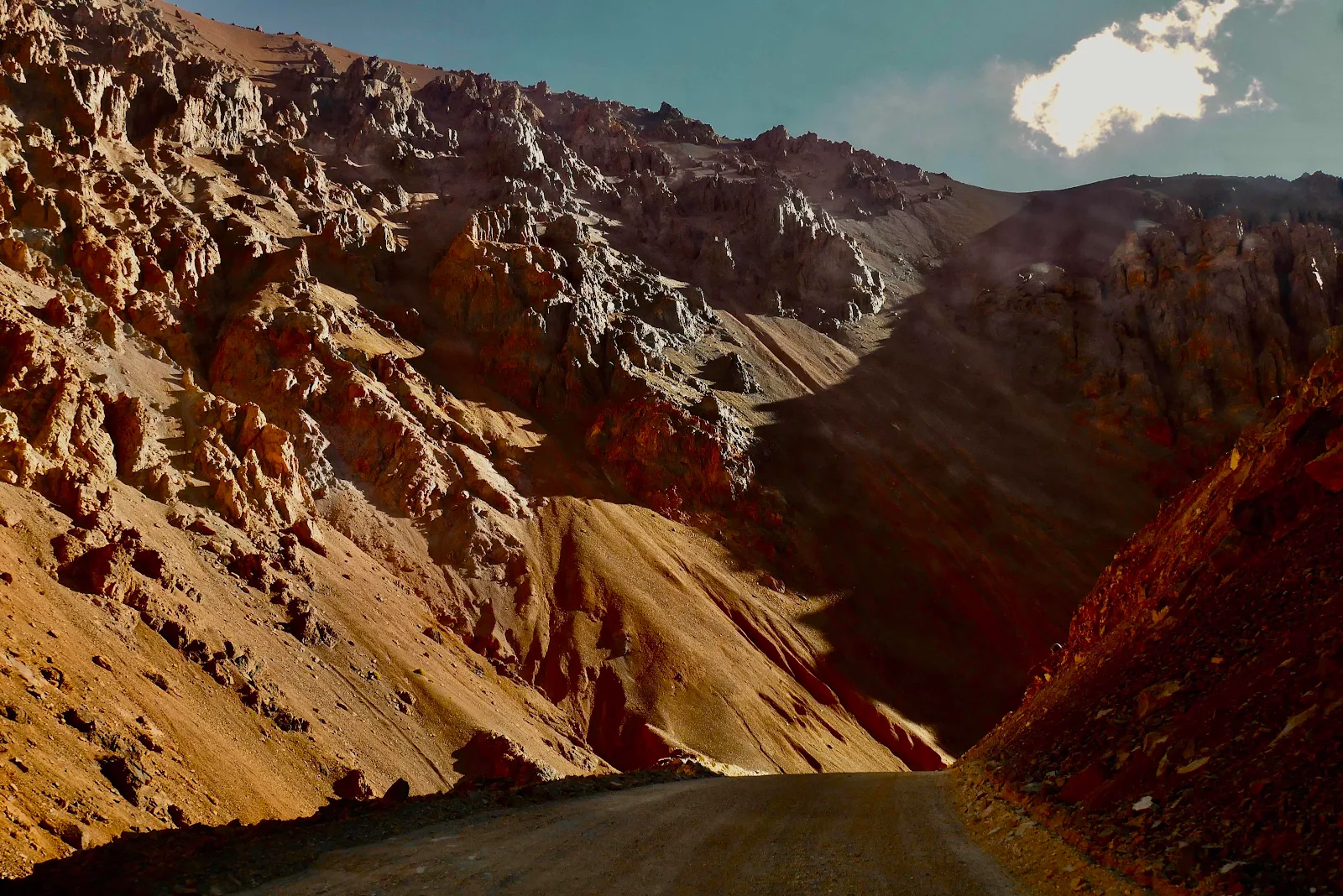
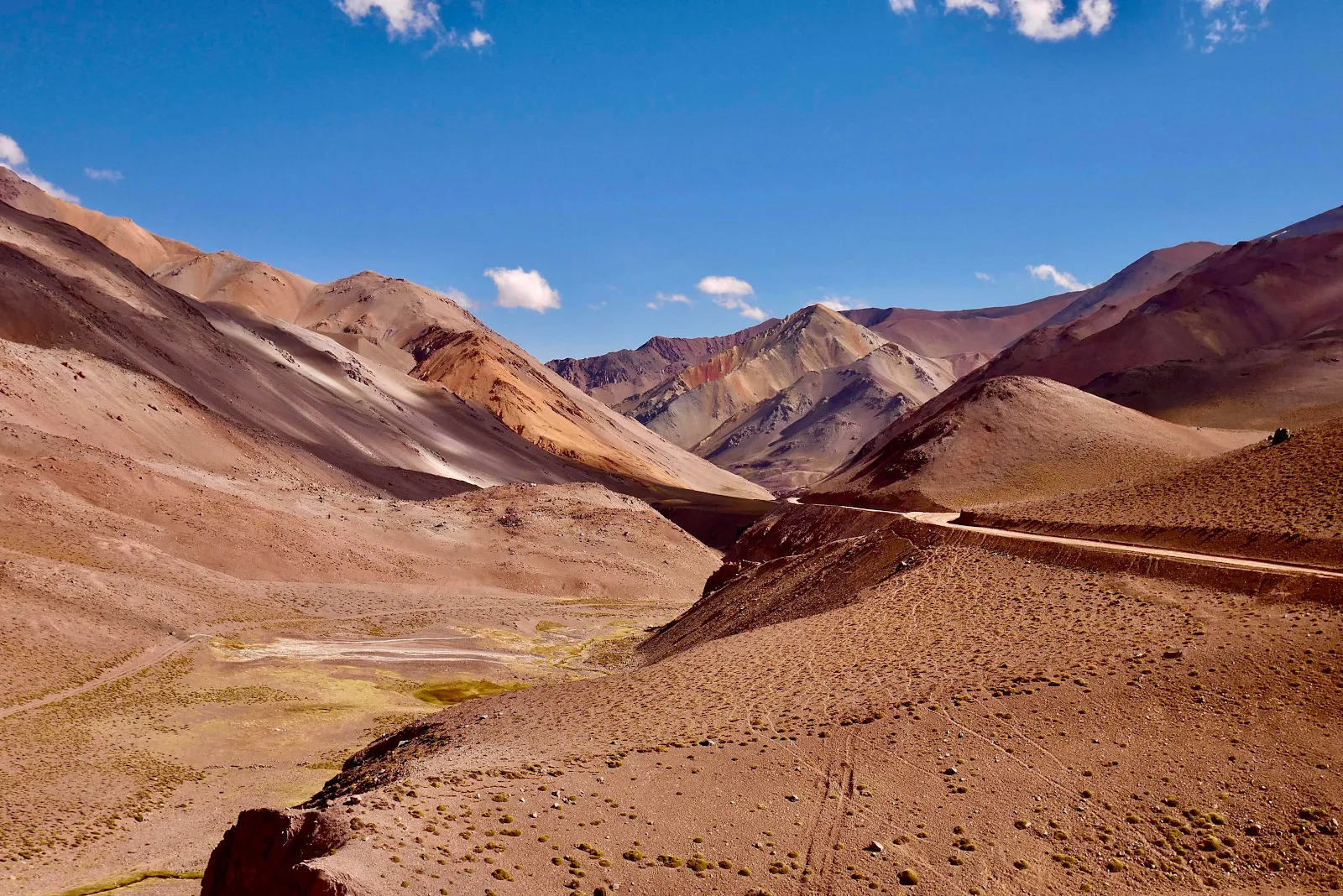
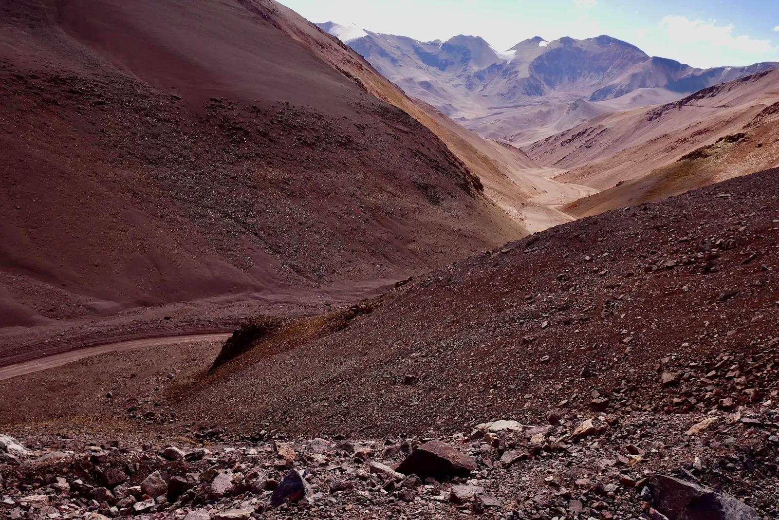
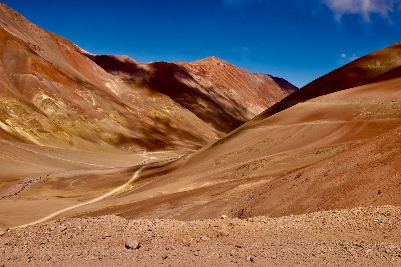
Secondly Paso Agua Negra has a reputation for fantastic beauty in return for a bit of hard work. That at least is true, the views were spectacular. 

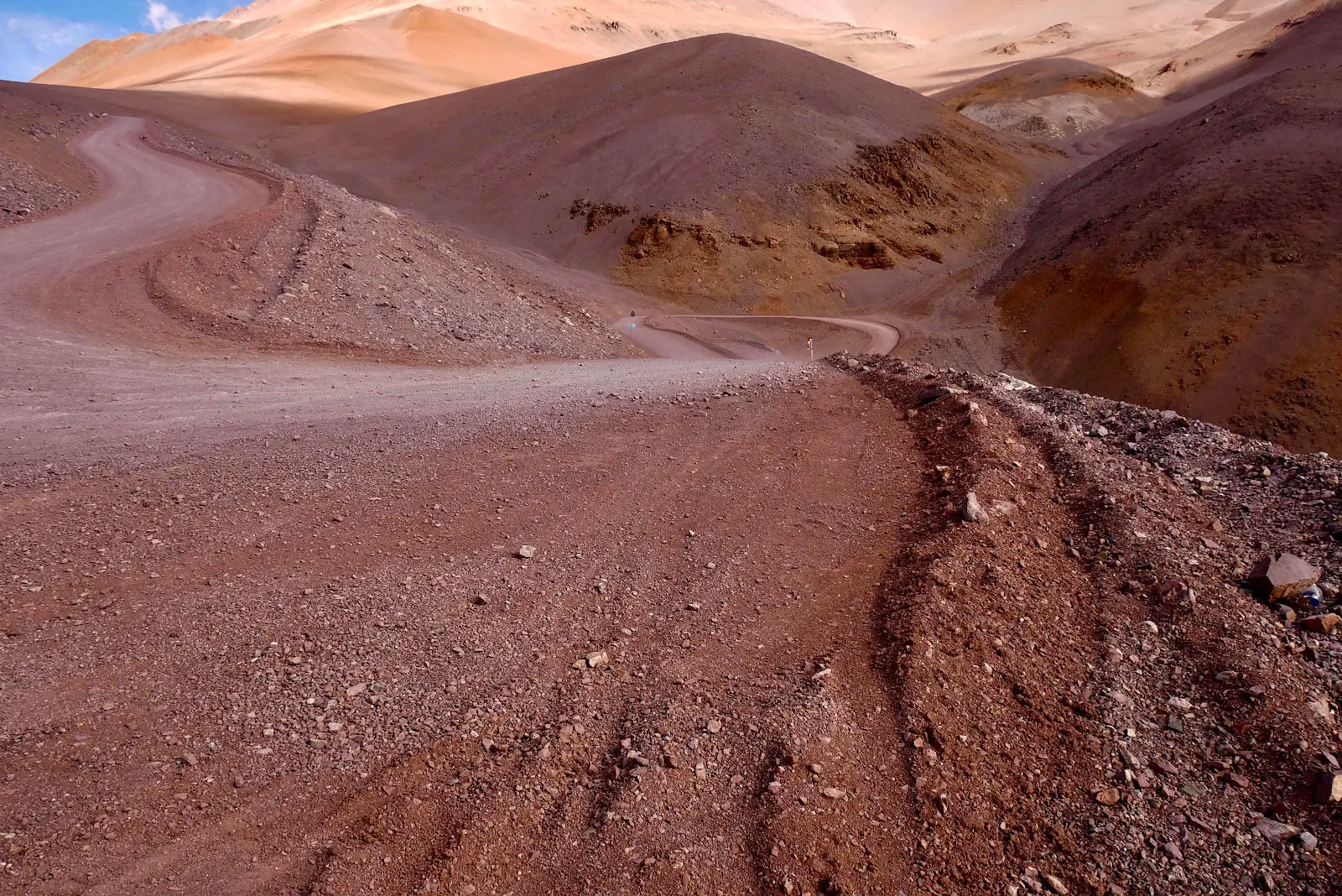
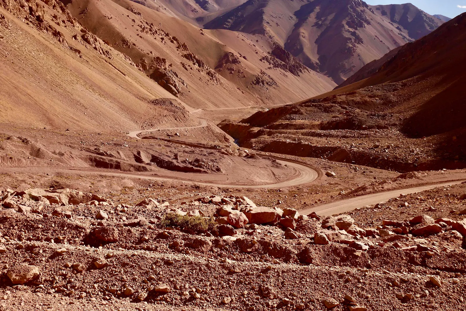
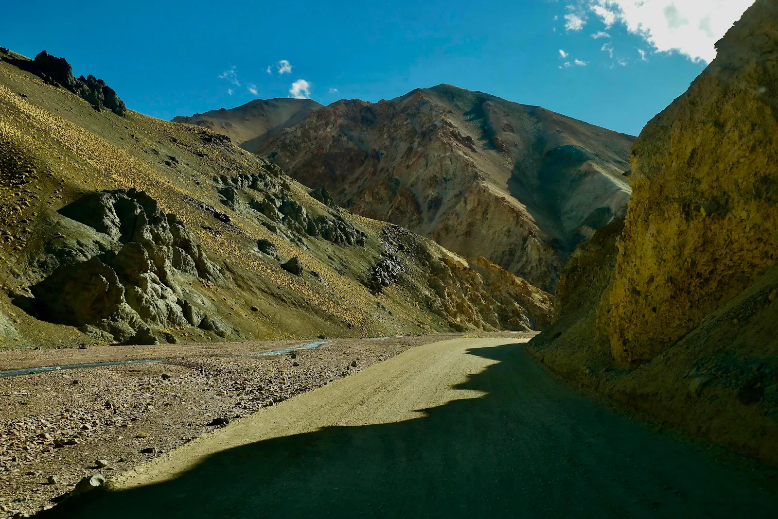
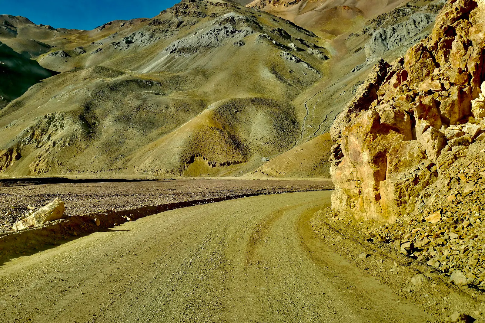
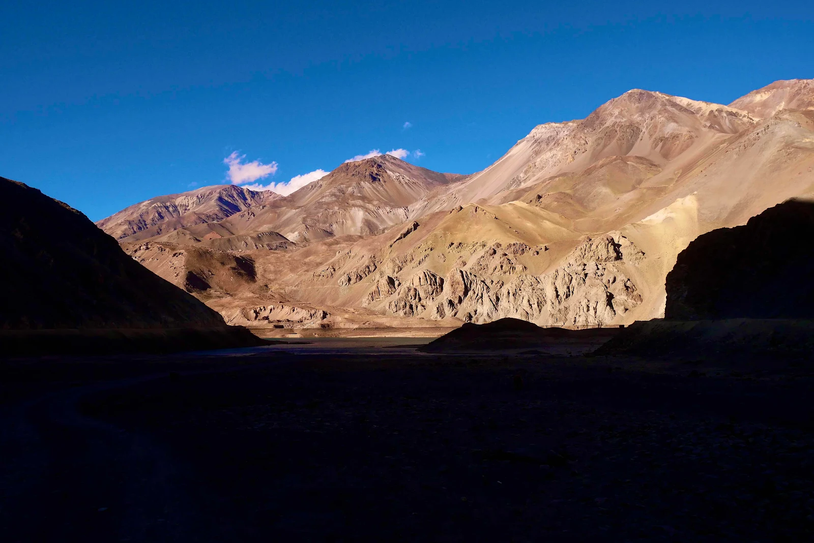
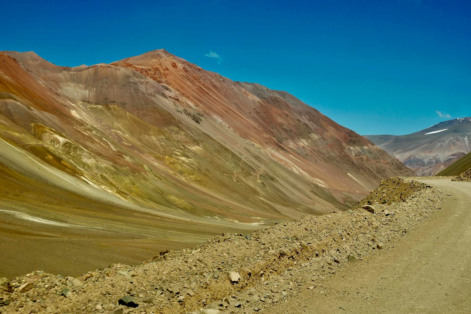
I trust you understand that our photos, taken as we went, don’t show the true grandeur of these mountain vistas above 13,000 feet. 


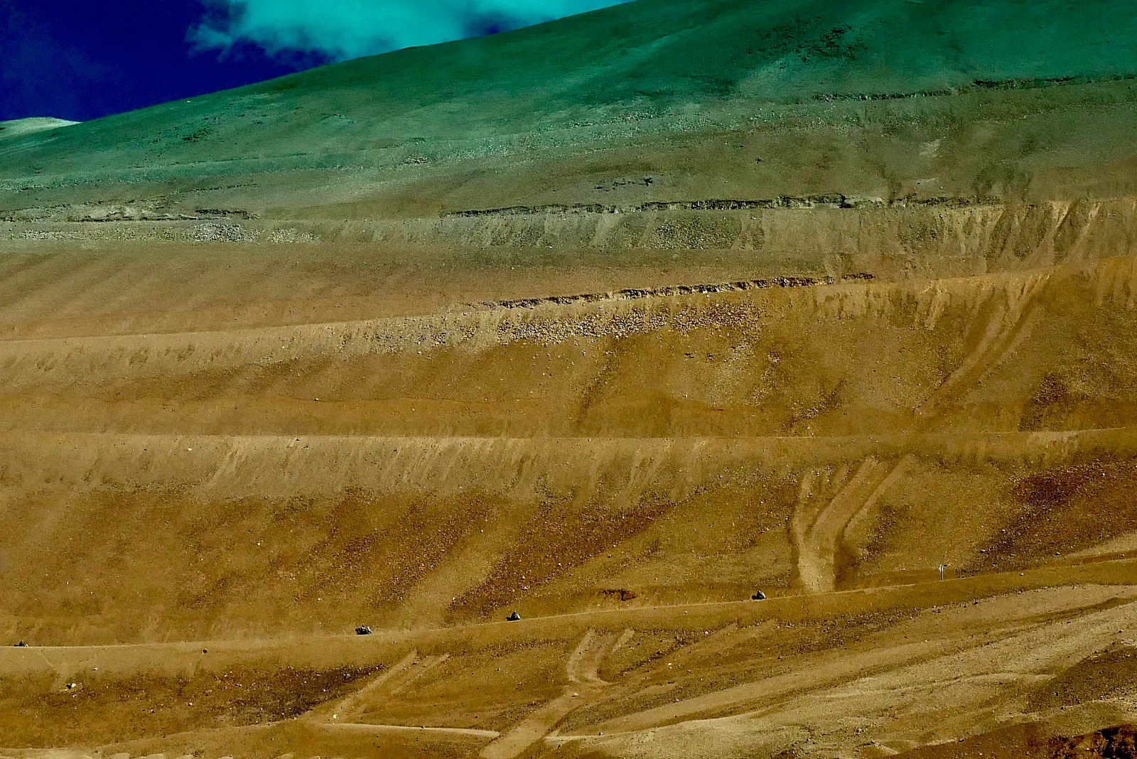
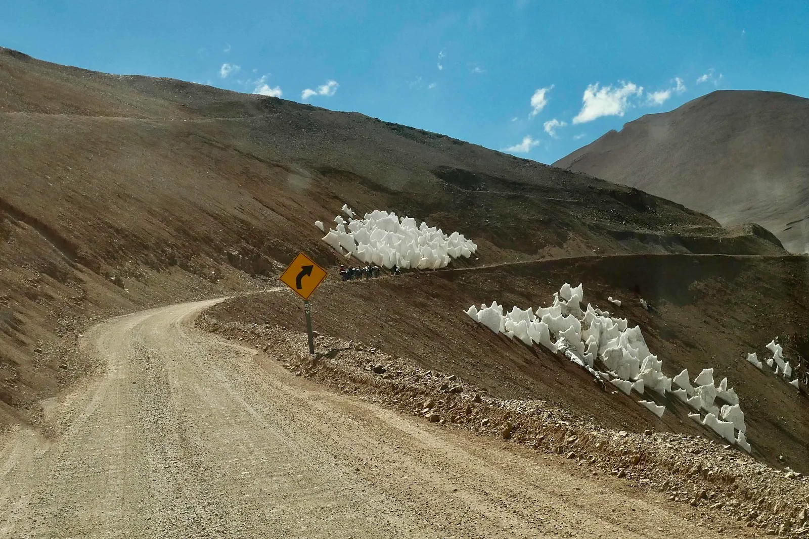
If you look carefully here you’ll see a file of motorcycles on the road taking the last few hairpins above 15,000 feet to reach the summit ahead of us.

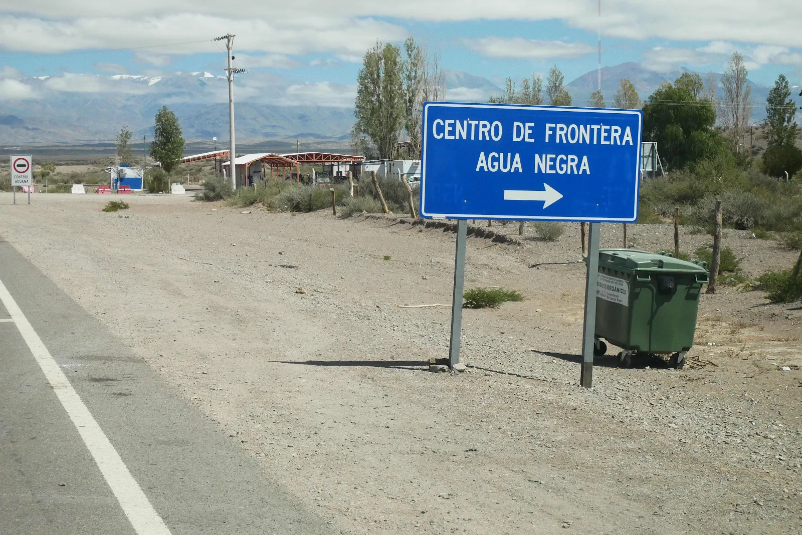
Highway 150 in Argentina is paved for the first thirty miles up the mountain. After you check out at the customs post at the beginning of the road out of Las Flores…

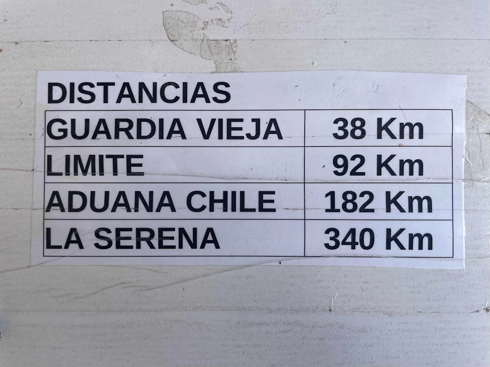
…you have 110 miles, half dirt to get to the Chilean customs post. And they have posted a notice where you hand in your passport, to remind  you of the undertaking ahead of you. 

You get two slips of paper, one for Guardia Vieja (old guard post) 23 miles ahead telling the guard you are authorized to pass. This is where the road will be closed in a month when winter sets in. 

The second piece of paper you have to hand In to the Chilean Gendarmes to check you off the list and save search parties coming out to look for you. We also asked permission to spend the night en route so Chile wouldn’t expect us the same day.  It all sounds a bit excessive doesn’t it? You might be as surprised as we were to see the trouble people get into on this road and they do have to save people from themselves from time to time. 

You know by now, and thank you for the words of encouragement, that I love pavement. This part of the drive was brilliant, not fast necessarily but easy in our big delivery van. 

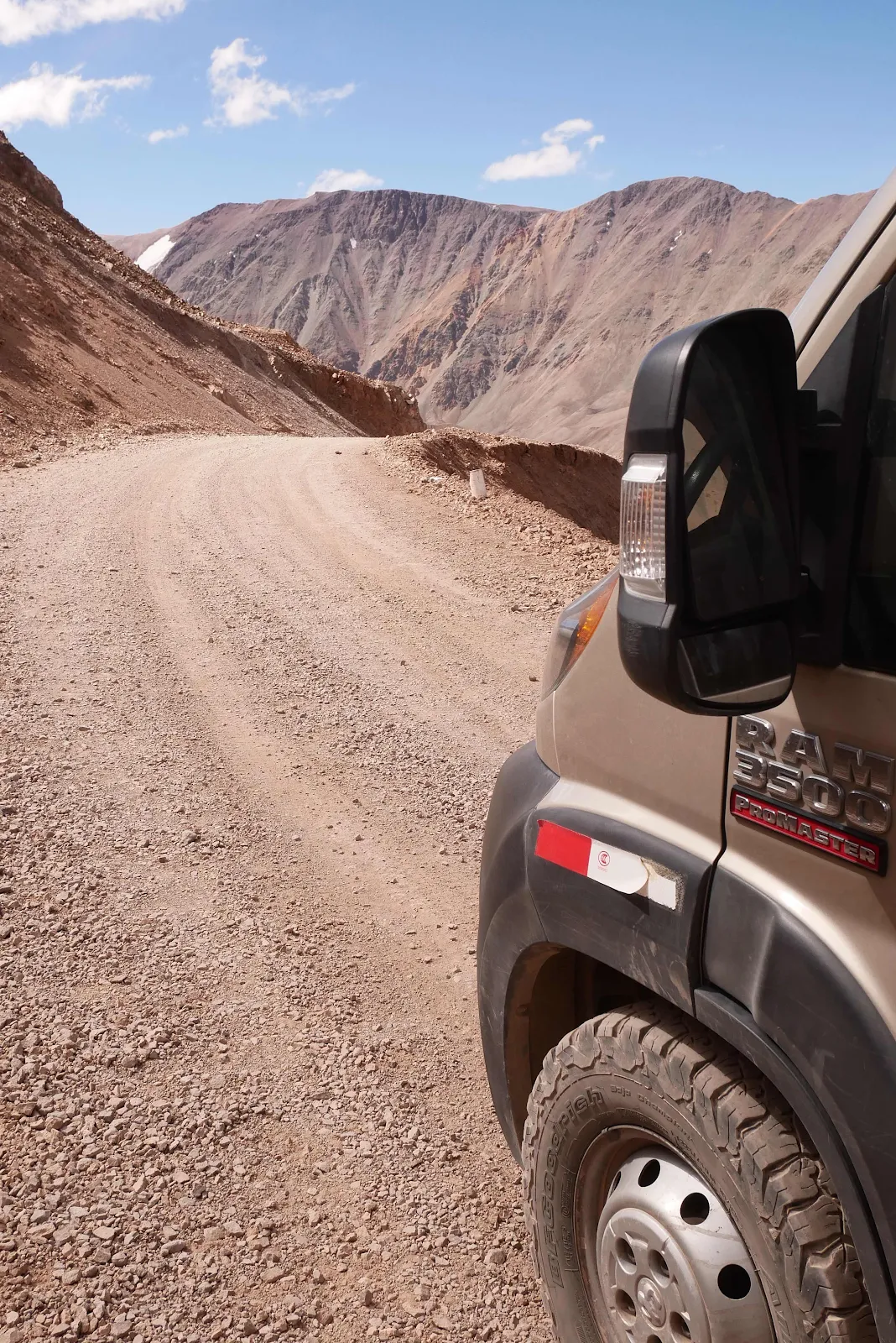
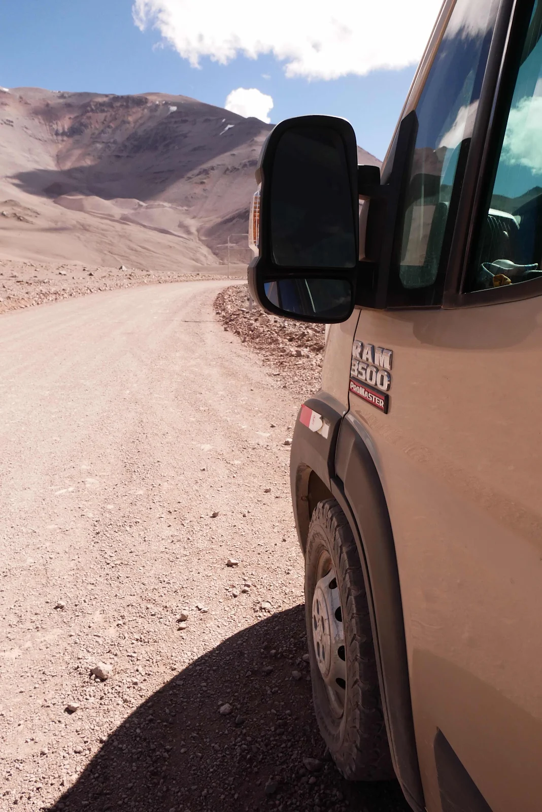
Then we had to stop to let air out of the tires. I air down about 50 percent to make the ride in our 9400 pound Promaster a bit easier on dirt roads. Less air also allows the tires to squash out improving traction but to prevent them overheating you cannot drive fast. We averaged 15 mph on the dirt so that isn’t an issue. Our mileage also dropped from 16 to 9 miles per gallon of regular gas driving dirt roads. The onboard computer told me that- I haven’t a clue otherwise. My least favorite road sign: 
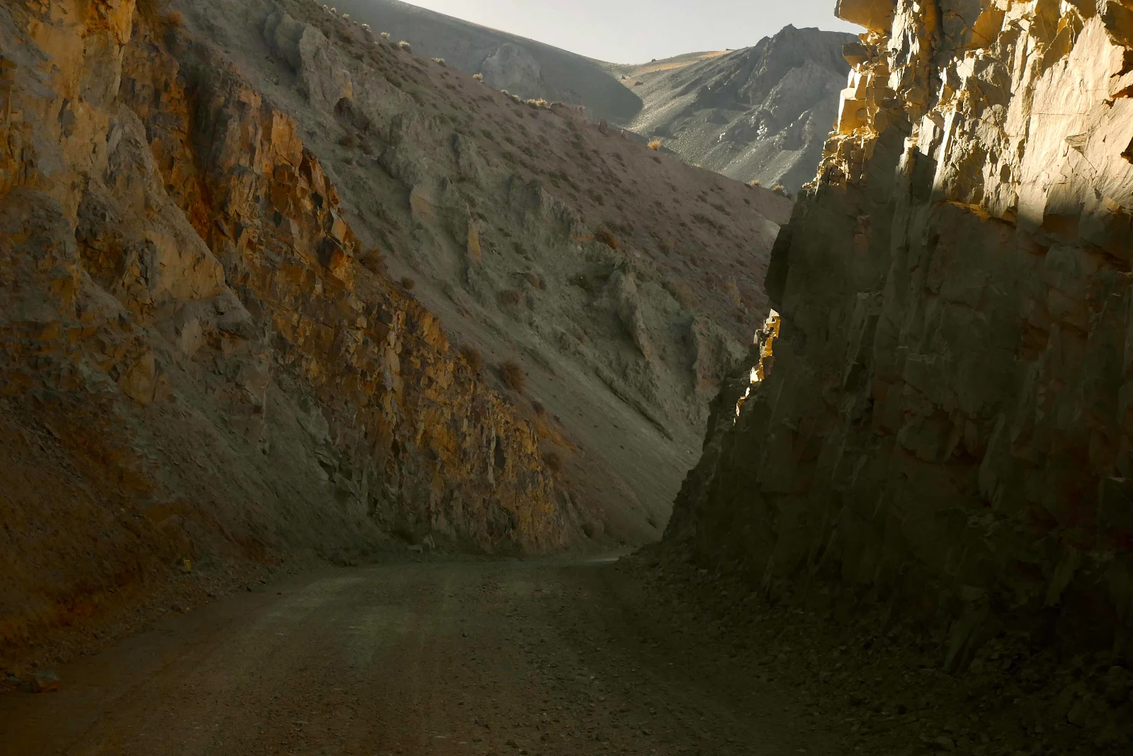
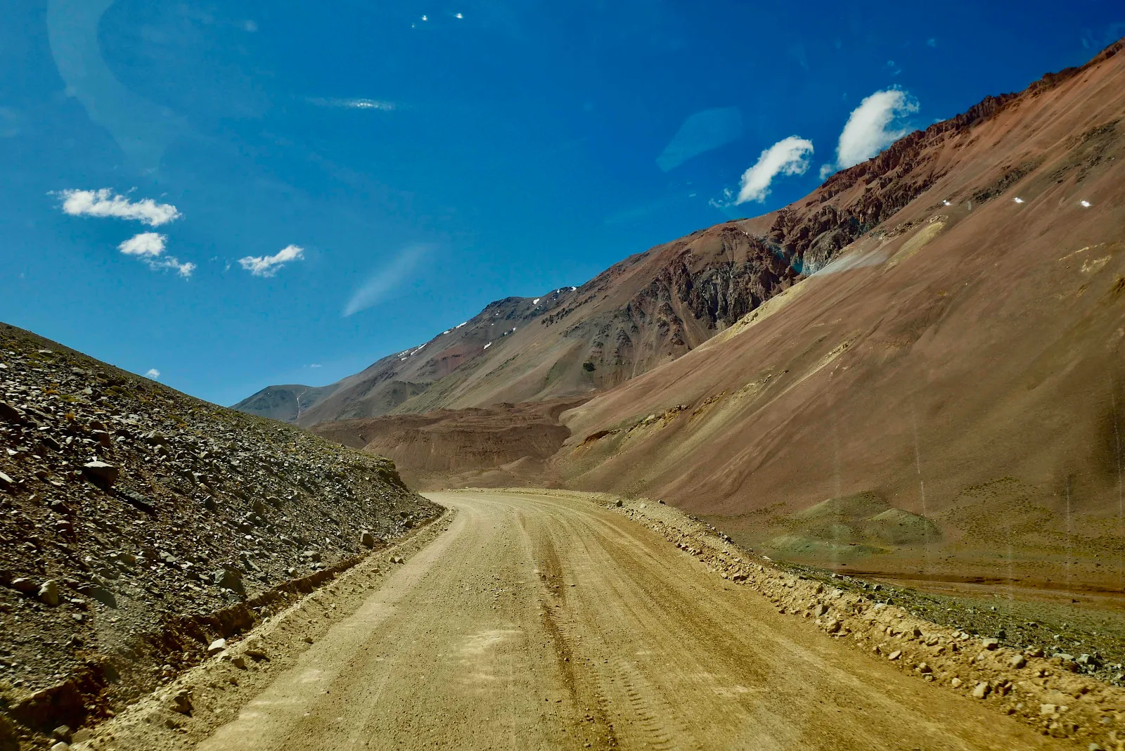
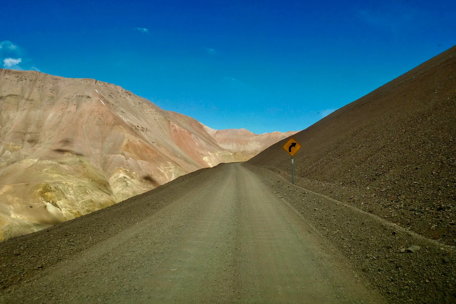
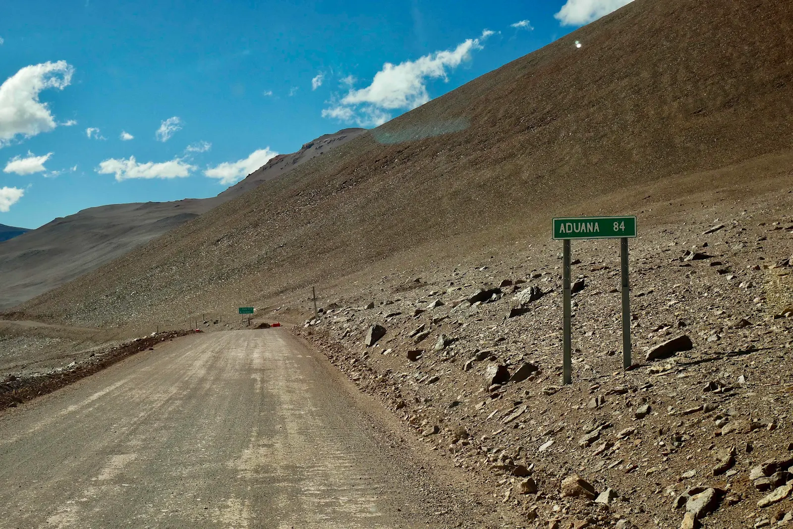
Neither Highway 150 in Argentina or Ruta 41 in Chile has gravel. They are simply well graded dirt roads carved out of the hillsides. Who thought these mountains were a good place to build a pass I have no idea. It really is quite intimidating to cast yourself off out here in the wilderness on nothing more than scraped dirt. 
We saw Argentine road clearing vehicles parked. Working here looks like it deserves hardship pay to me. 
We didn’t want to stop too much to make sure we got over the top before evening fell. At the same time we wanted to take in the beauty. A few cars passed us both ways as we trundled along no faster than twenty miles per hour and usually much less than that. 

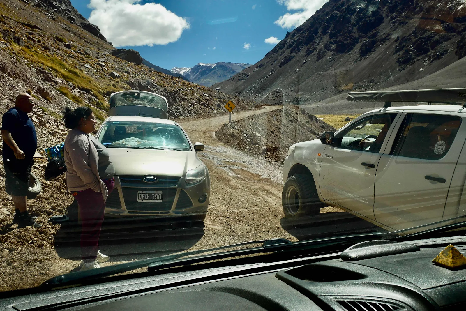
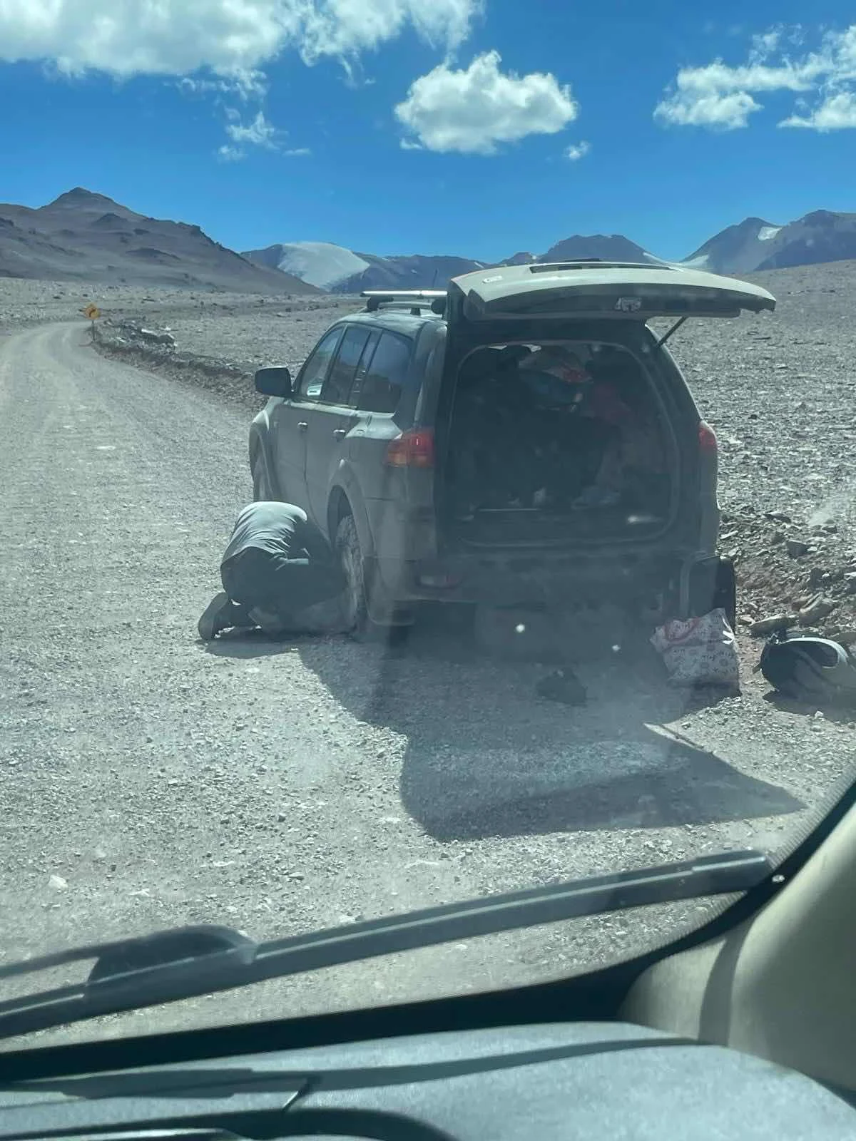
We met our first flat tire coming from Chile. They were grateful for the cold water we gave them.  I was slightly concerned they didn’t have their own.. 

We had 30 gallons of water a full fridge but not much fresh stuff as it would be confiscated at the Chilean border, and a full fuel tank. 

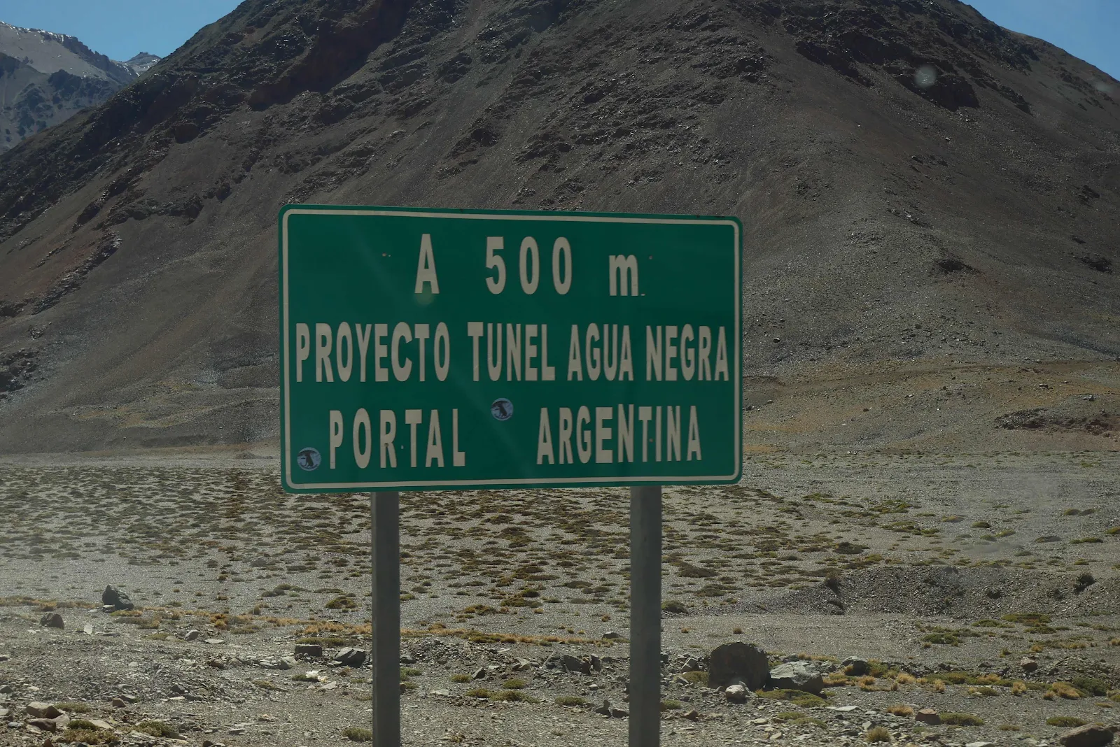
There used to be a plan to open a road tunnel here by 2027. Like all public works Argentina has decided to do nothing, not even take down the sign announcing the new roadway. 

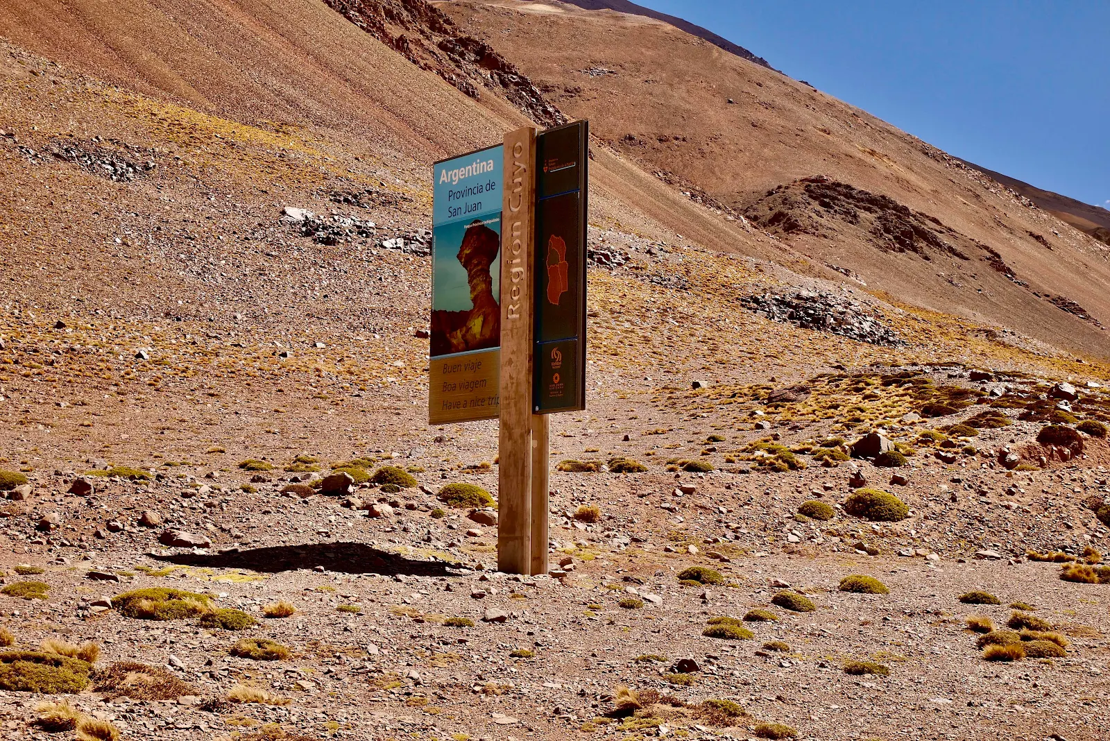
There is a tourist road sign for the Cuyo Region though looking slightly absurd on the dark side of the moon. 

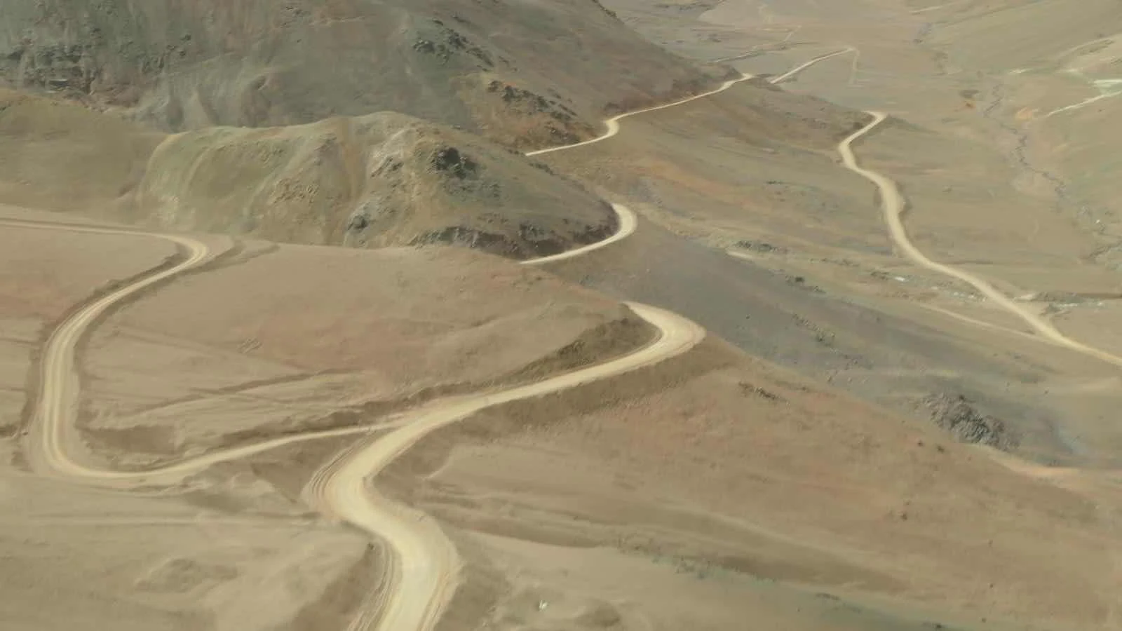
Fortunately for us the Argentine side of the road follows a tortuous path winding apparently at random through the hills and valleys and mountainsides. 

Fortunately I say because the grades were not that severe. On the Chilean side the grades are awful, straight up and down. 

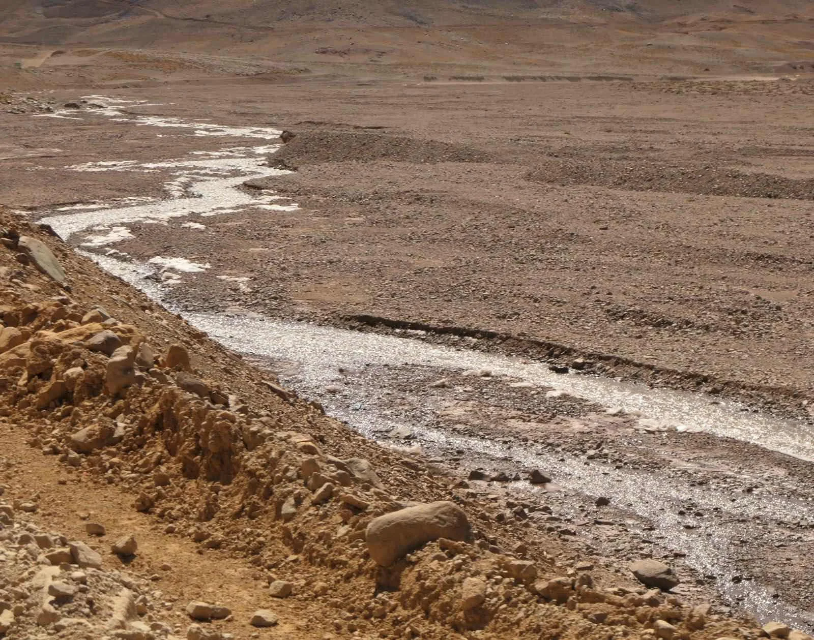
It is possible this stream could be the black water that gives its name to the pass but I have no idea. 

We  left at 1pm from the Argentine customs and faced a lot of winding turns to get through before dark. We actually made good time but that fear of being caught out was always present. 

They even have side roads  to nowhere in the Abomination of Desolation. 

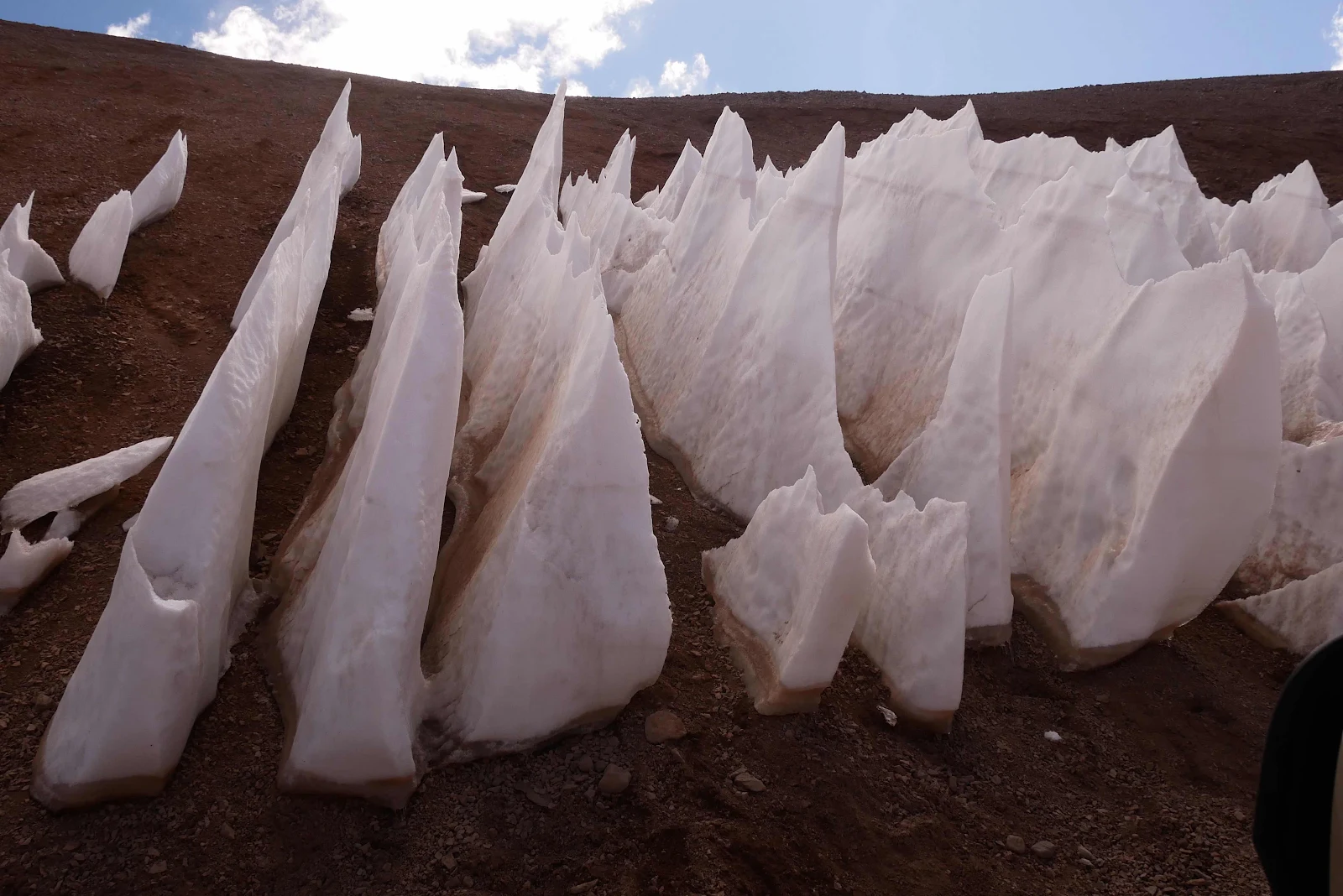
My favorite: frozen water. You chose to live in Key West to avoid this stuff. Rusty loves it. 

When we saw cars coming in the distance I found the widest spot I could and waited. 

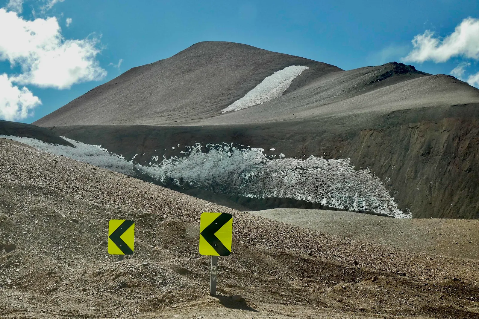
The Agua Negra glacier as it looks at the of summer these days. 

Oddly beautiful but to call it a glacier seems to be overstating the case by now. 

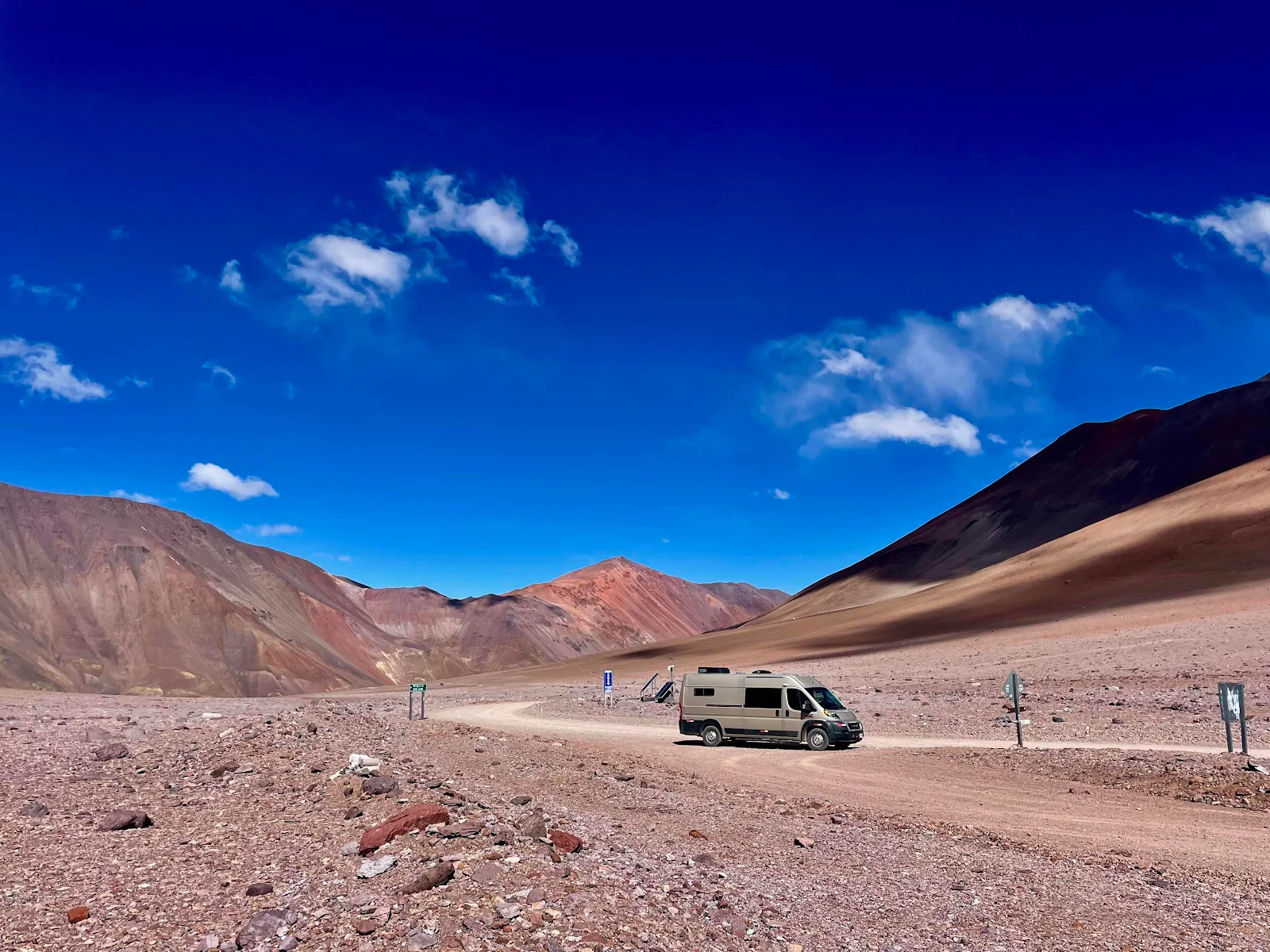
We have come a long way in this brilliant van. Above 12,000 feet we stop to drink coca tea and pop Tylenols. GANNET2 just kept on chugging along. On the final hairpins I found the engine was losing a lot of power, crawling up to the turn at walking speed and offering no more but it never hesitated or stalled and easily picked up speed on the flat sections. It started easily when we paused right at the top and even though the check engine light came on at 12,250 feet it always does when we are at that altitude. The light turned itself off at 2500 feet when we were back in oxygen rich Chile. 

The second flat tire we met. He st least refused even water as he was well equipped. Traveling alone but grinning at his own misfortune. And he was going to Chile. 

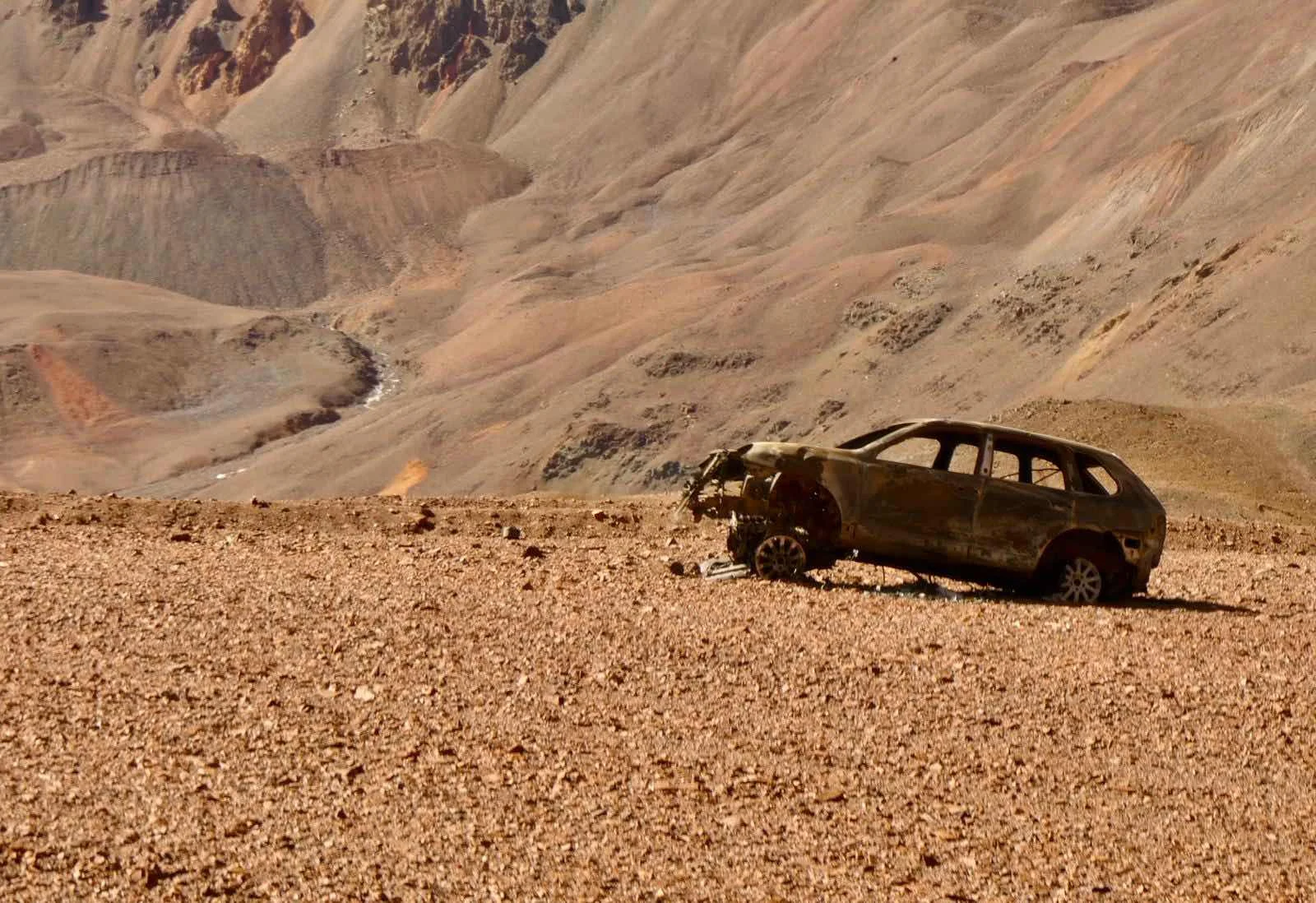
Who knows what disaster stopped this journey, below? 

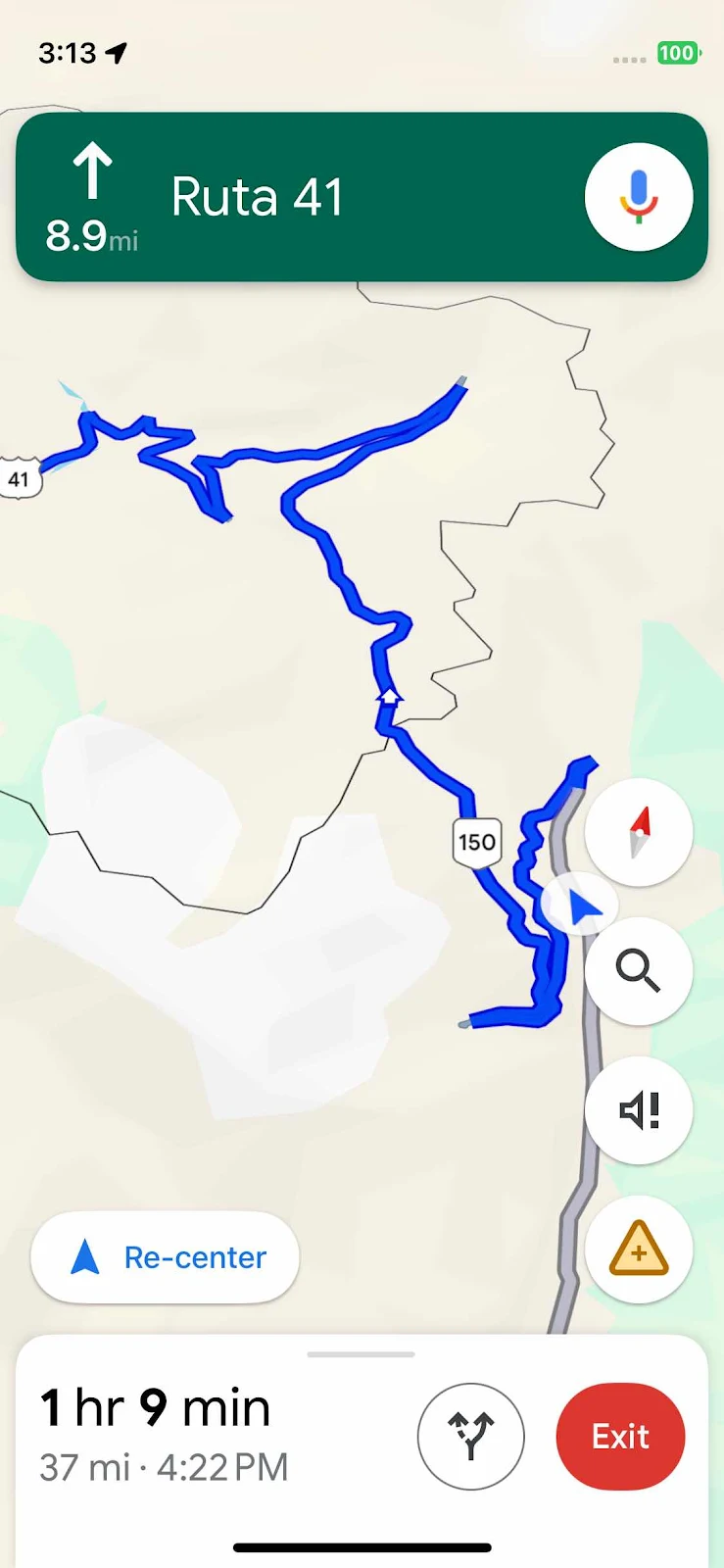
Just a few more hairpins…Ruta 41 is the Chilean border where the road changes its name. Just a few miles to go. We don’t use the metric system aboard GANNET2. We just find it easier to use miles and feet as it’s what we’re used to in any case. 

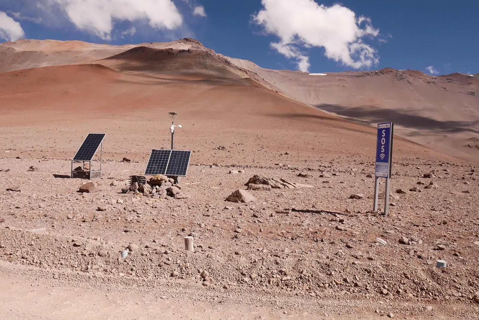
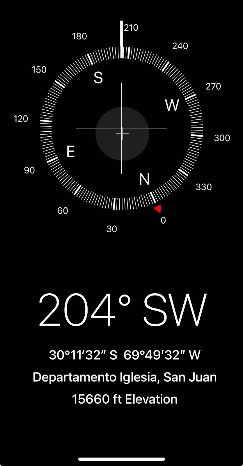
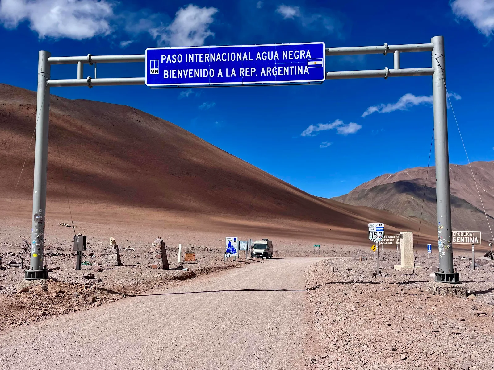
And then suddenly there we were at the top. And there was an SOS phone.  We’ve learned that these phones use a WiFi hotspot to communicate with free public access. Layne got online and called Bruce to say hi from the dark side of the moon. 

Rusty and I got out and went for a walk. It was cold and windy and I was lightheaded after a short walk up the hill. 

Rusty disappeared among the rocks running headlong into the wind into Chile. He felt no pain at all. I turned back to do my duty struggling not to drop my camera from my frozen fingers. 

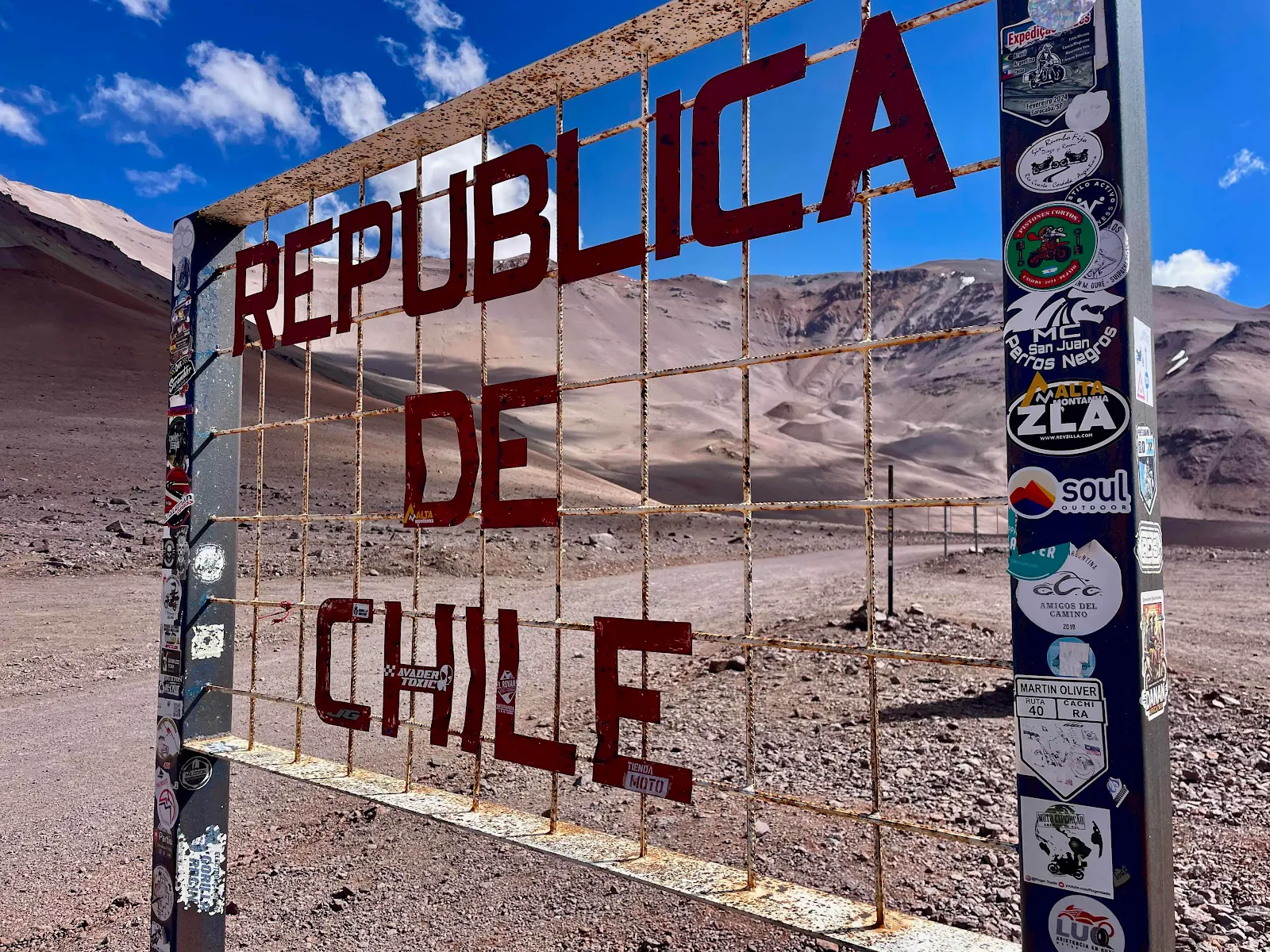
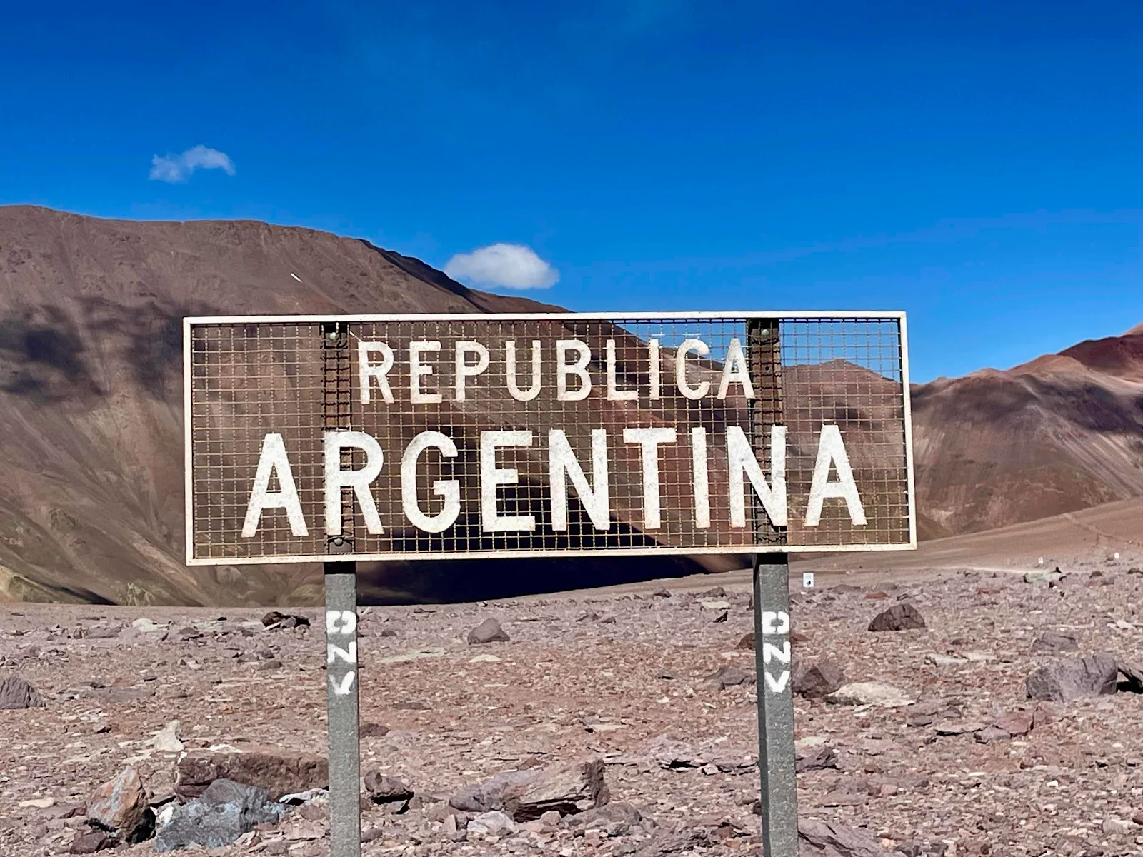
The border signs are wind proofed for this altitude. 


Looking back east into Argentina:

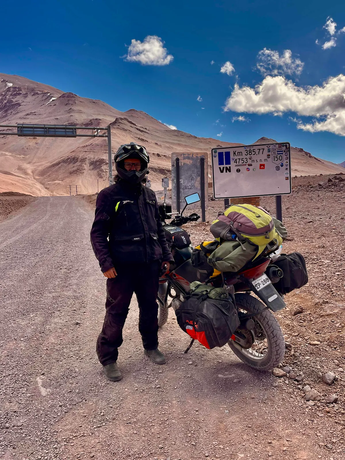
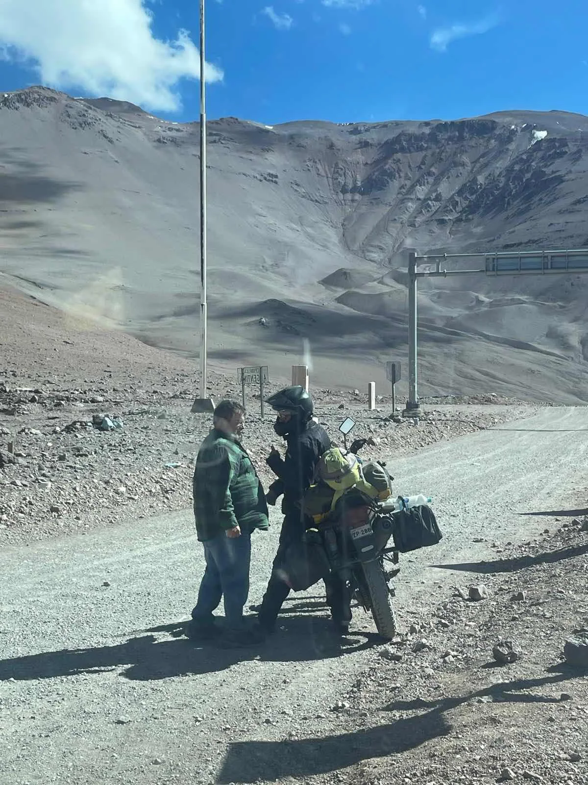
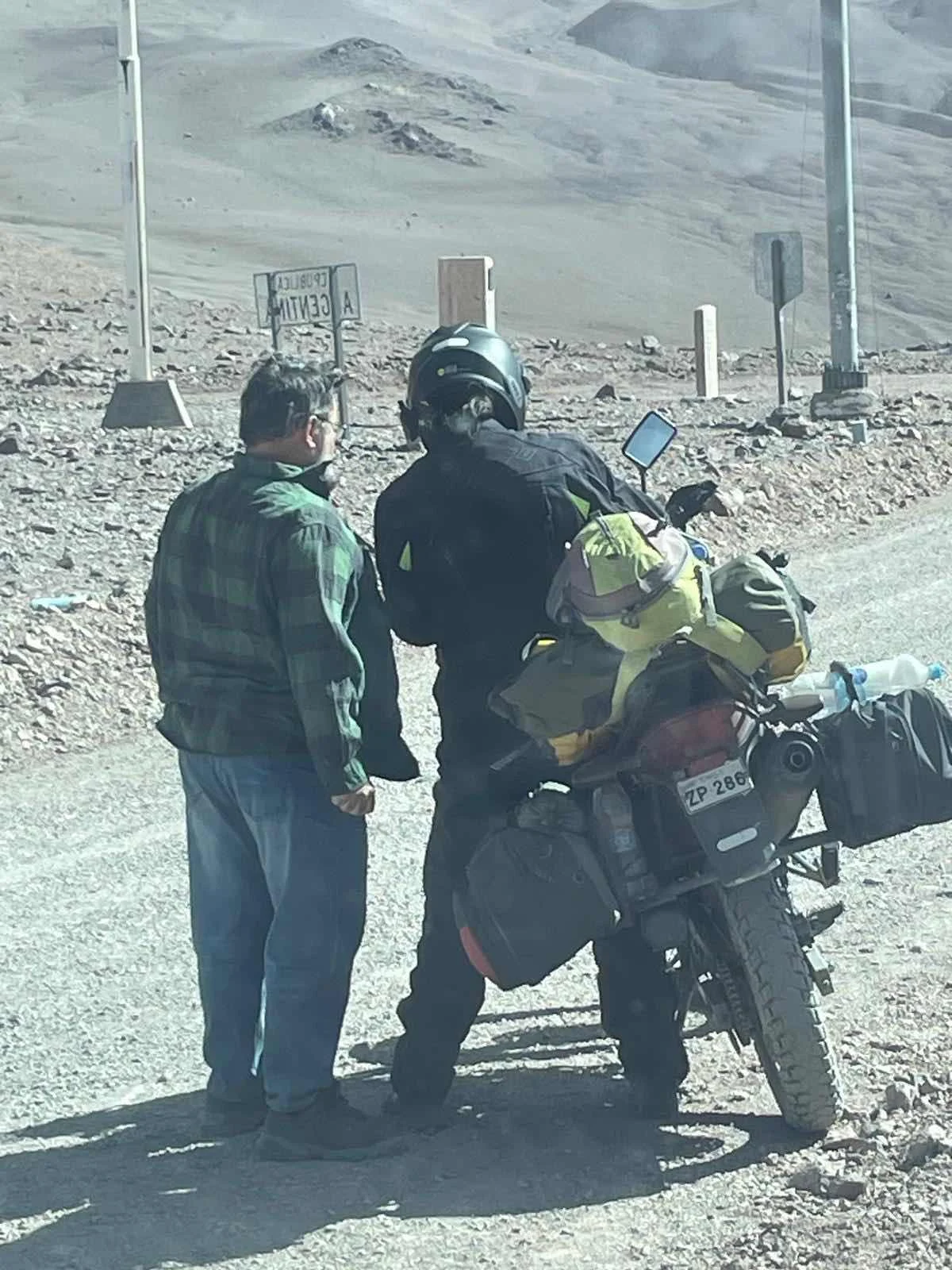
I finally met the motorcyclist we had been playing tag with on the way up. I pulled over so he could pass then we drove past him when he stopped by the side of the road and gave us a thumbs up to let us know he was okay. 

His phone was full and I couldn’t take his picture so I photographed him and promised to send him the pictures. It looks like we were coming to blows but I was trying to stay upright in the wind and he was trying to stop the motorcycle from falling on me. 

We both struggled with frozen digits and lightheadedness trying to exchange electronic addresses and in the end we got it done. 

The interior of GANNET2 was lovely and warm when eventually I got in. It took both of us, me outside and Layne inside to get the sliding door open to let Rusty in.  The little runt came back from his moonwalk very thirsty and ready to lie down. He got the water but we had to press on.

Time to go downhill into Chile.