The road up the mountain to the snowy volcano overlooking the city of Toluca is rough dirt. You’d think I would rant about that as I have about potholes in asphalt but it was expected and dirt in pursuit of an interesting destination is fine by me. Google Maps said it is 8.6 miles to the entrance gate at the ranger station. iOverlander said the road was tough; I was ready.

It was bumpy owing to the many rocks peppering the surface but in between the rocks the road was covered with gray talcum powder. Subsequently that dust got onto every surface of GANNET2. Brilliant. But the scenery as we climbed the mountainside, The Nevado de Toluca, the views were worth it.

Naturally you could have knocked me over with a feather when we passed some cyclists having a fun ride in the thin fresh air. I thought we were pretty heroic until that moment!

I later met a guy who parked at the top and went running to the bottom and back up again. We chatted and I was the one who was breathless, not him.

It was early evening, around 4:30 and the sun was starting to head to the horizon and the scenery was spectacular. We also found the lower entrance gate unstaffed at the village parking lot so we were not asked for the 60 peso ($3US) entrance fee. I’d have been happy to pay but the ticket sellers apparently go home early.

We bounced slowly along at ten miles per hour. The drive up took almost one hour and by that stage we were a long way up above sea level when we parked for the night.

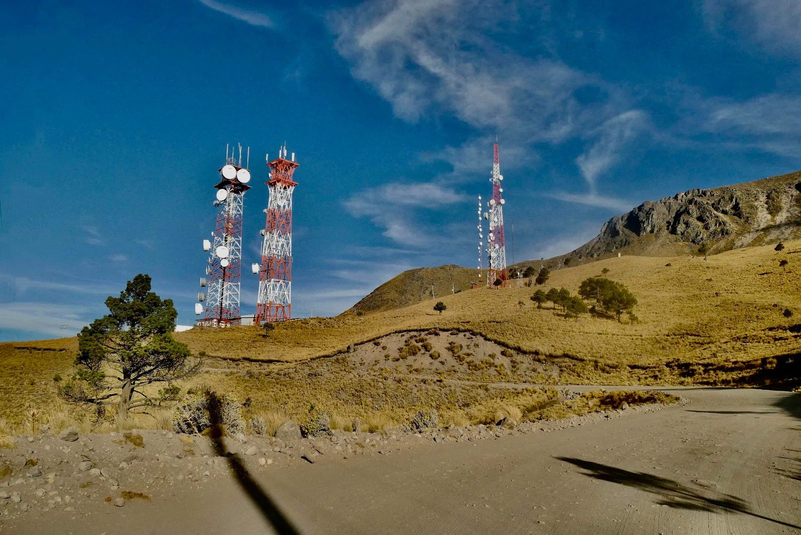
We passed a Telmex antenna array a couple of miles before the entrance gate but if cellphone signals we had none.
It really is a pretty cool spot even for flat landers like us. Perhaps especially for us, used to being at sea level.

Power poles suddenly appeared so we weren’t exactly off the grid.

In the distance you can see the ranger station on the far right, the long low police station and off to the left the public toilets, which worked even though you had to flush with a dipper filled from a water barrel. I figured all that out later. The road behind was another few miles to a campsite, reportedly a field with no facilities, a base camp for a climb up the mountain.


We arrived after 3pm when the place officially closes. There are no signs to direct a late arrival to park but a ranger appeared from the little hut spewing woodsmoke.

There’s a ten dollar charge to reach the campground but here we were at 13,650 feet (4150 meters) and free to park for the night for nothing. The mountain itself is the fourth highest in Mexico at 15,350 feet or 4680 meters.

We backed up under the ranger’s direction near the bathrooms which was convenient. The building below to the left houses the ten person State Police detachment.

Evening throws long shadows.

The valley two and a half miles below us:

The temperatures were quite pleasant out of the wind and in the sun but we were nowhere near acclimated for this altitude. There are a lot of numbers today but let me try to run this by you. The highest road in the US is in Colorado called the Mount Evans Scenic byway at 14,140 feet. Pikes Peak is 25 feet lower. So this madness is within spitting distance. I’ve never driven this high though last year we camped on public lands at ten thousand feet near Durango in Colorado.

Rusty absolutely loved it. I of course was worried about him but he pranced around constantly tugging me out to go for a walk. I staggered behind him but he had no apparent altitude problems. He sat outside in the freezing wind and only came in to eat a huge dinner. He slept long and loud. Layne couldn’t sleep at all and I struggled to get comfortable. We listened to Rusty snoring happily.

The toilet anteroom has a spectacular view though it was very cold porcelain you sat upon as you contemplated your achievement driving up here. Oh and we had a faint cell signal on the throne. I checked and sent an email and a couple of texts. The toilets had seats but bring your own toilet paper, a common requirement in Mexico. You can just see one of the water barrels used to flush. I was amazed by the civility.

We put up our window covers and it was just as well. Overnight lows were at freezing and we had the space heater to keep us reasonably warm.


Morning cake and I was reluctant to get up. Around eight I took Rusty for a walk with him prancing around and me huddling under my woolen poncho properly known as a serape.

It was a weekday, a Wednesday morning yet there were lots of cars and people gearing up to hit the trails. I had planned to take walk to the lakes not vet far up but I was in no condition.

Dogs are welcome where cats go but not on the trails. Fine by us!


The views were spectacular from the road and I was glad to be there. And breathing.

This trip was a test run for our plans to go high above sea level driving the Andes. One lesson I did learn is that we need to acclimatize as we go uphill. I think we will be taking a slow drive uphill in Colombia, pausing to get used to the lack of air as we go. This drive was a wake up call.

GANNET2 did great. I don’t push my heavy home on dirt roads and up hills, but there was nothing to indicate we were at high altitude as our Promaster started ran and stopped as normal.

Time for a souvenir photo (“Do I look as though I just strolled down.” “Yes dear,”) and off we went back down. Up next, a place in Hidalgo State that makes a tourism living by selling Cornish Pasties. True story.
3 comments:
Every time you start your 'car' it measures the air density to determine what the engine's air mass flow rate needs to be. It's not like the old days of having to adjust your carburetor to account for altitude changes.
Being above the clouds is always cool…
A bit behind and catching up, I love that you show Mexico is not the singular beach resort town that most Americans think of. It's a vast and diverse country with varied terrain and climates, much like our own.
Post a Comment