There must be a gene for “getting lost again” in our our stars because Layne and I, travelers all our lives do manage to take the road less traveled and very often less useful from time to time. Last night we did it again, on a one lane road perched on the side of a cliff a few hundred feet above the beach that was our destination in the village of Pisagua on the coast of Chile. Oh dear I thought, we seem to be stuck, and such was the tension I took no photographs of the pickle.
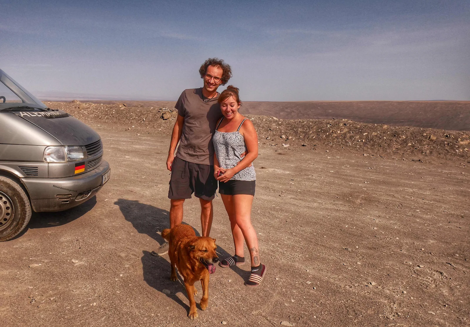
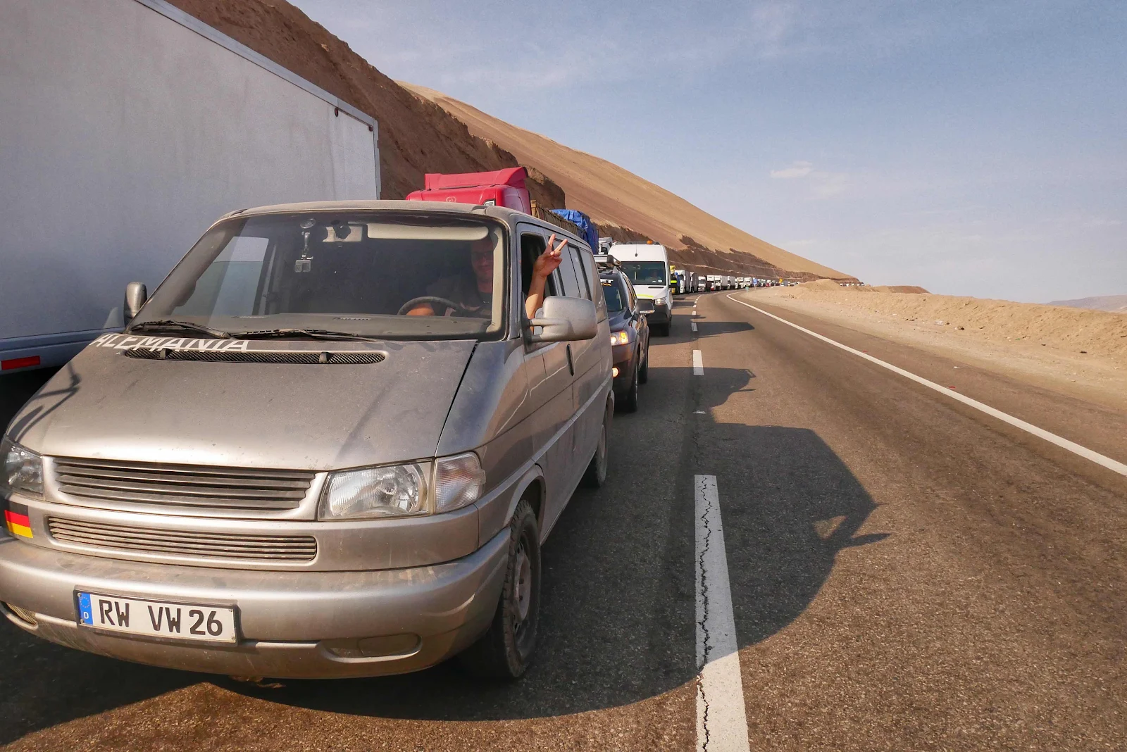
Florian and Cora from Germany in their 30s are traveling in a diesel VW Eurovan almost as old as they are happen to be going south just like us and for now we are traveling together. We first met them in Ecuador where Florian a railway mechanic by trade fixed a unclipped fuel hose he found in our Promaster when we broke down and got towed to the campground. Crazies an operating theater nurse and will be giving me lessons on bandaging Layne’s wound which is healing slowly after her skin cancer surgery. Aside from all that Rusty likes them and they are good company especially as they speak English.
Naturally their border crossing went faster than ours with all our faffing around getting papers organized for the furry love of my life but we met them at the Jumbo shopping mall where we were all restocking our pantries in this new and delightful country. So we planned our trip south from our first stop in Arica, Chile.
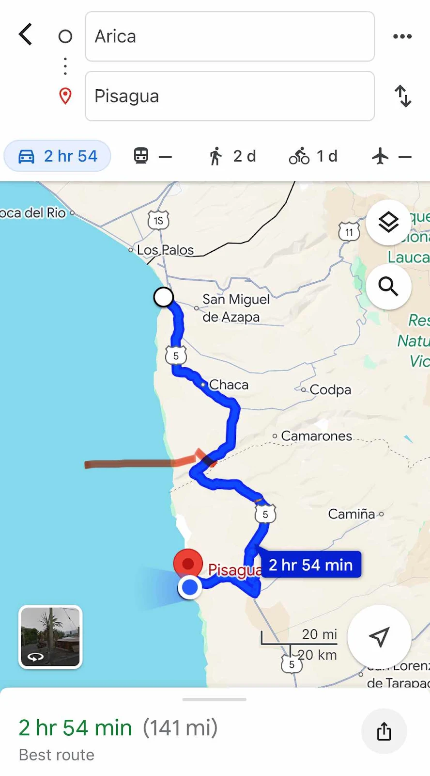
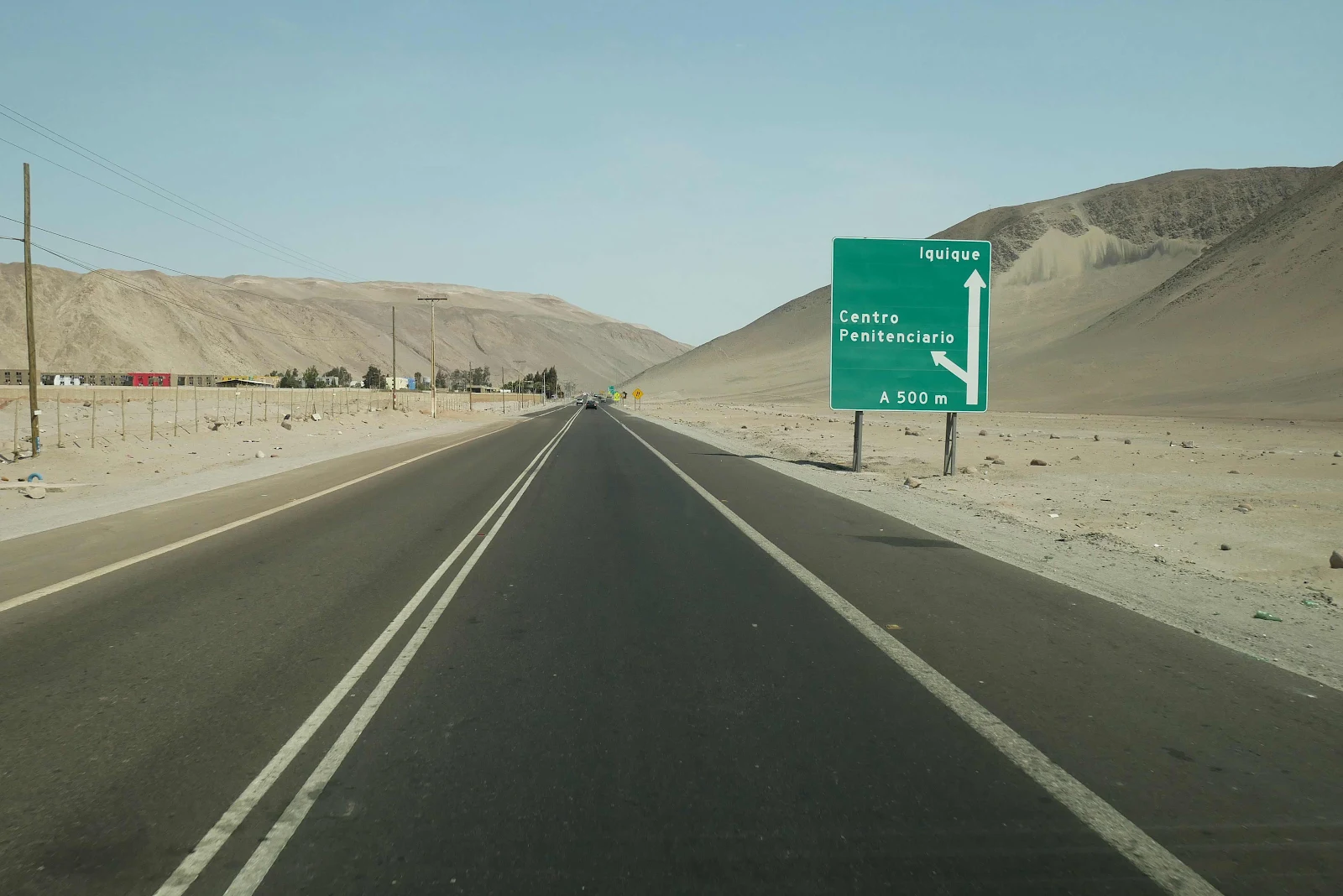
The photo above shows our route to a free beach campground in the fishing village of Pisagua, which when you know “Agua” means water the village name, in English, has a rather odd connotation. But the point is we could get some free waterfront camping there in pisswater. I also made the red mark for your convenience across our route at the point where we expected to find a problem on the main highway south. Meanwhile we drove through yet more beige desert. I’m told Chile looks like this for the next thousand miles or so which obviously is fantastic and I’m sure you are looking forward to it too. Also on our way south we passed the fearsome looking Arica Prison buried in beige.
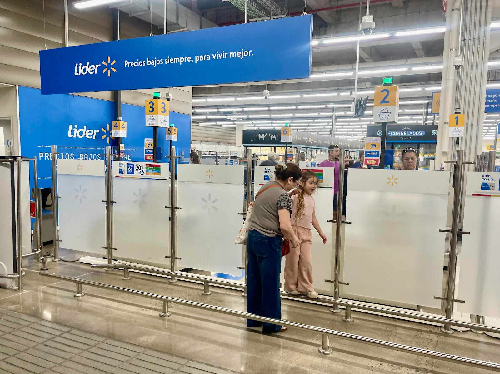
The idea was to complete our shopping at Walmart, that is to say Lider (pronounced “leader”) where you save money with the usual Walmart slogans translated into Spanish, “ low prices to live better” in this case, and it’s also a place where kids can play thanks to no liability laws:
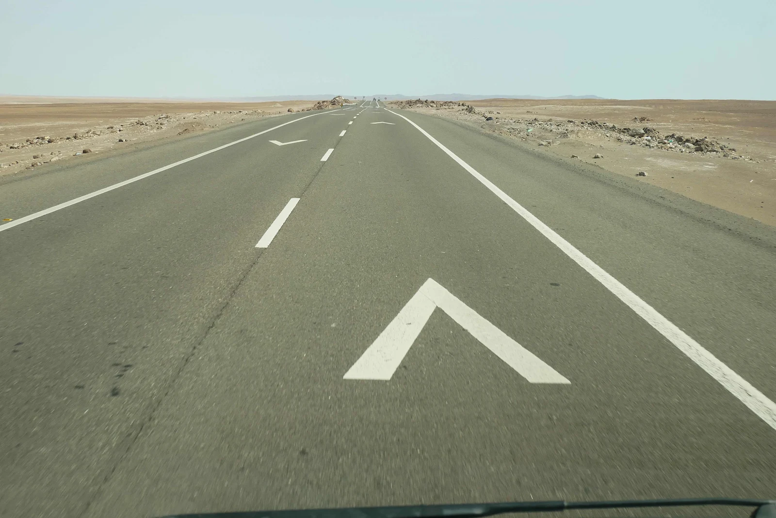
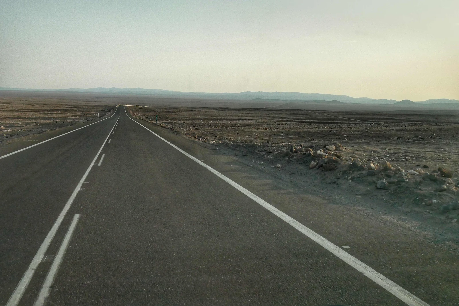
And then we took to the open road which climbed up from sea level to 4,000 feet and we droned along the altiplano (high plains) where sometimes you can get fog bound. So the Chileans thoughtfully paint white arrows on the road. If the fog is so thick you can only see one arrow drive at 40kph (25mph) or if you can see two drive at 60kph (40mph). There is a touch of Germany about Chile and I quite like it.

It was a bright sunny 75 degree afternoon for us so the speed limit was 100kph (60mph). I actually did drive that fast on some of this perfectly surfaced road. I love Chile.
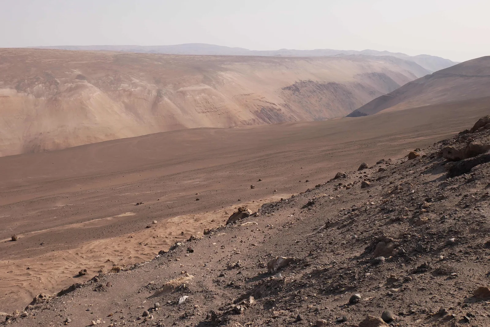
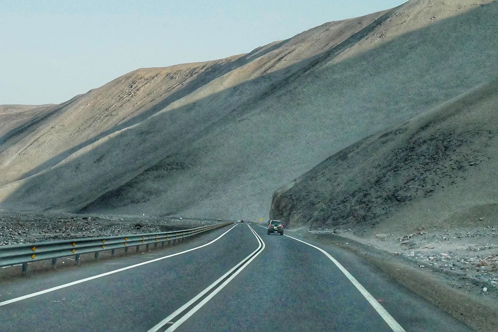
I know it’s superficial of me to like decent roads but it was such a pleasure to bowl along like we were on an under used freeway at home which is largely free of traffic. What a change from the potholes and speed bumps and aggressive driving we found further north. And yes it is beige but it’s full of mountains and canyons and…
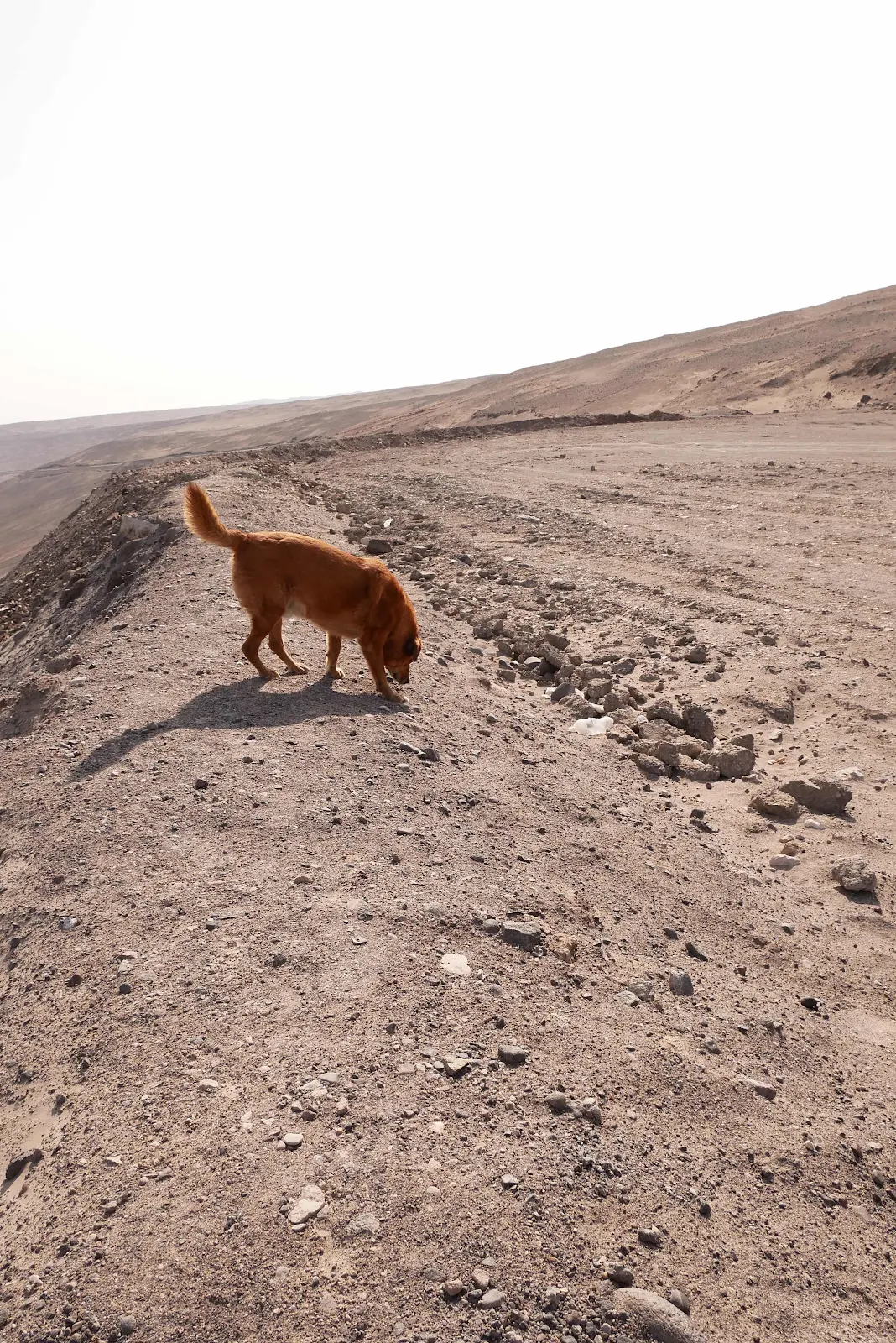
…lunar rocks for Rusty to check out.
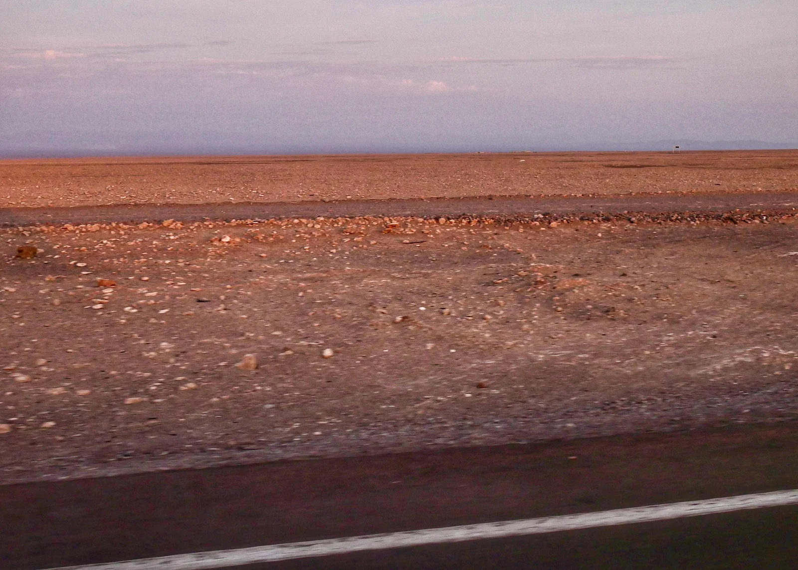
I got a message from Webb Chiles telling me this desert is the driest place on Earth outside of Antarctica and I’ll believe it. There is not a speck of growth in the dirt, little wonder then that astronauts come here to train for lunar landings.
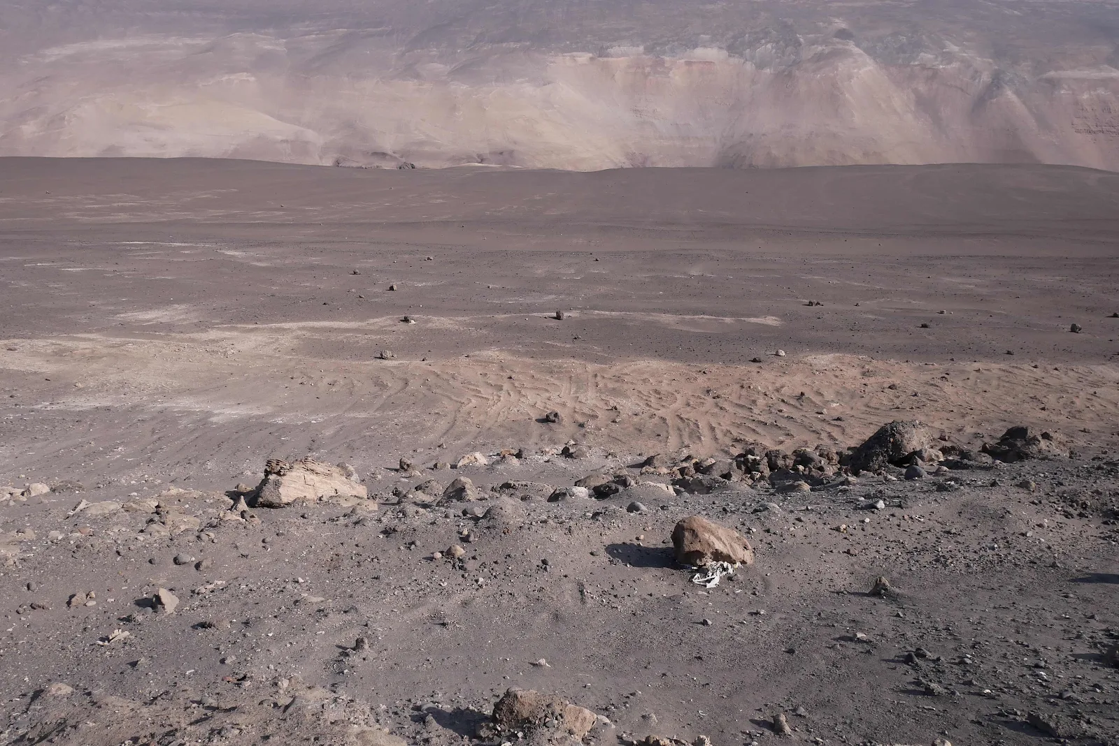
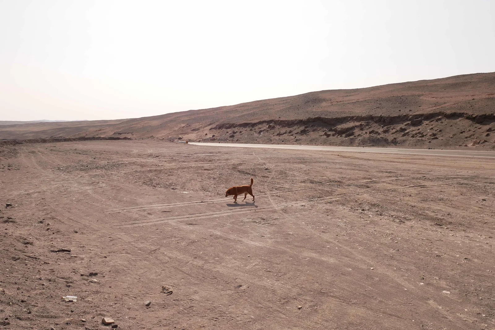
Rusty couldn’t get enough of this landscape.
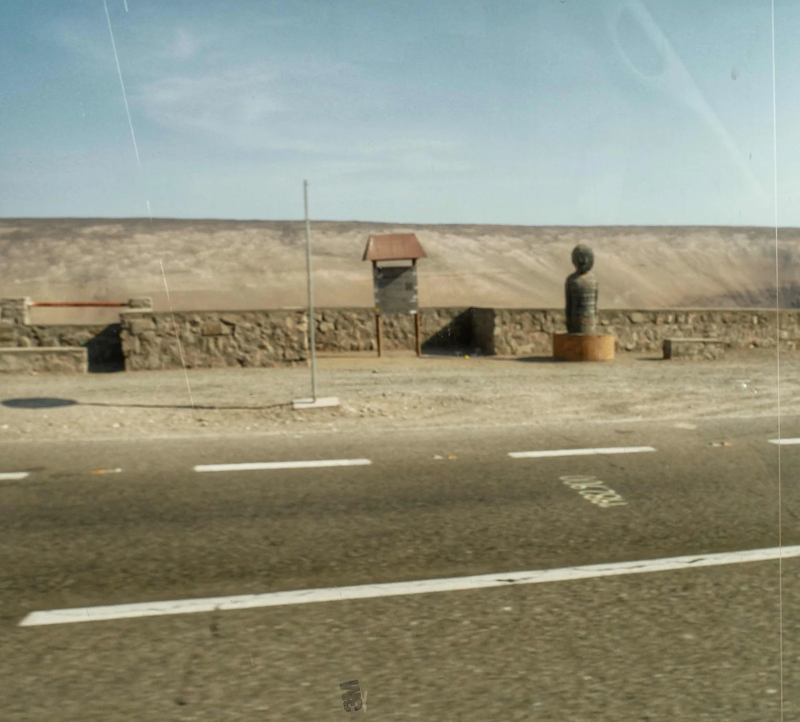
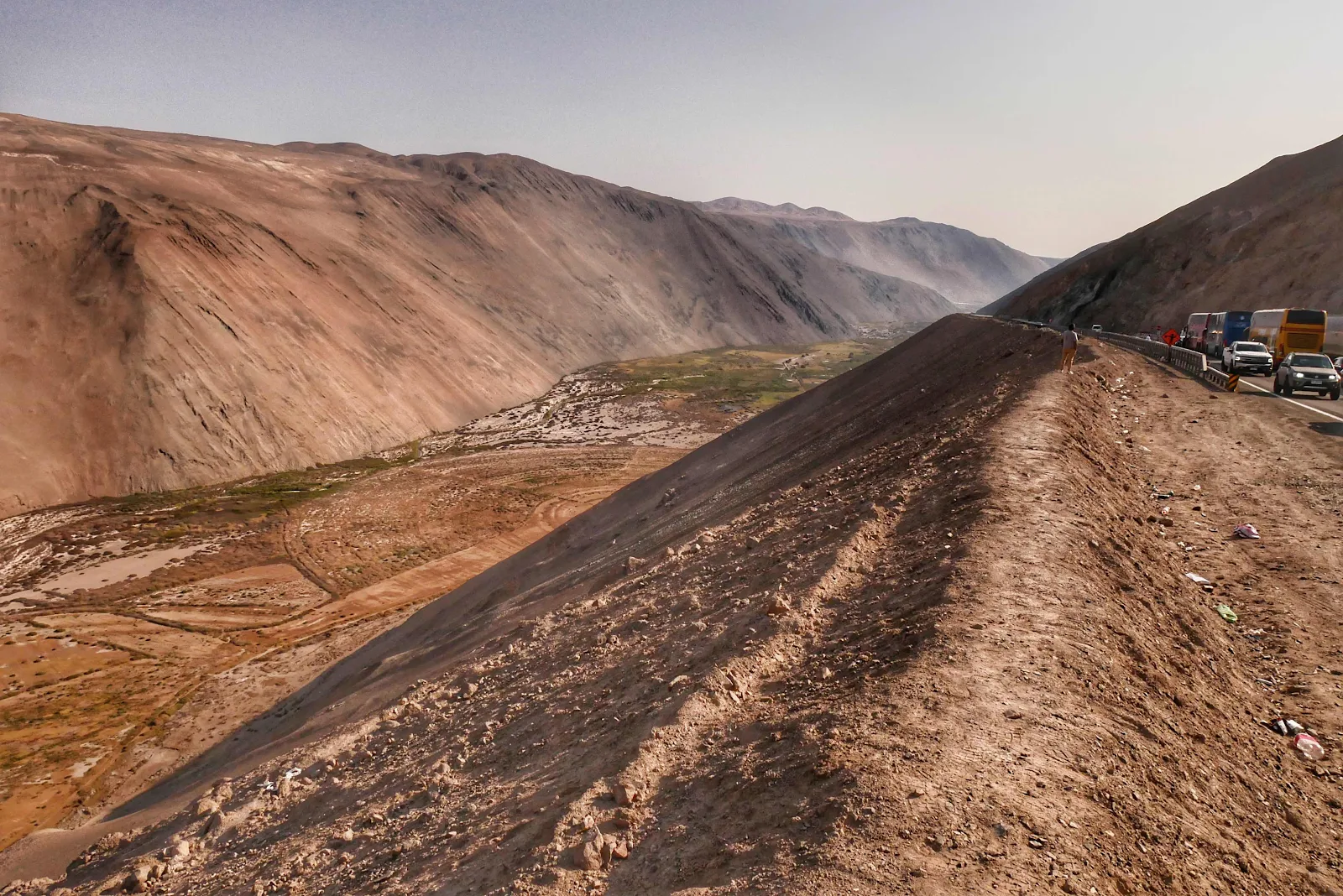
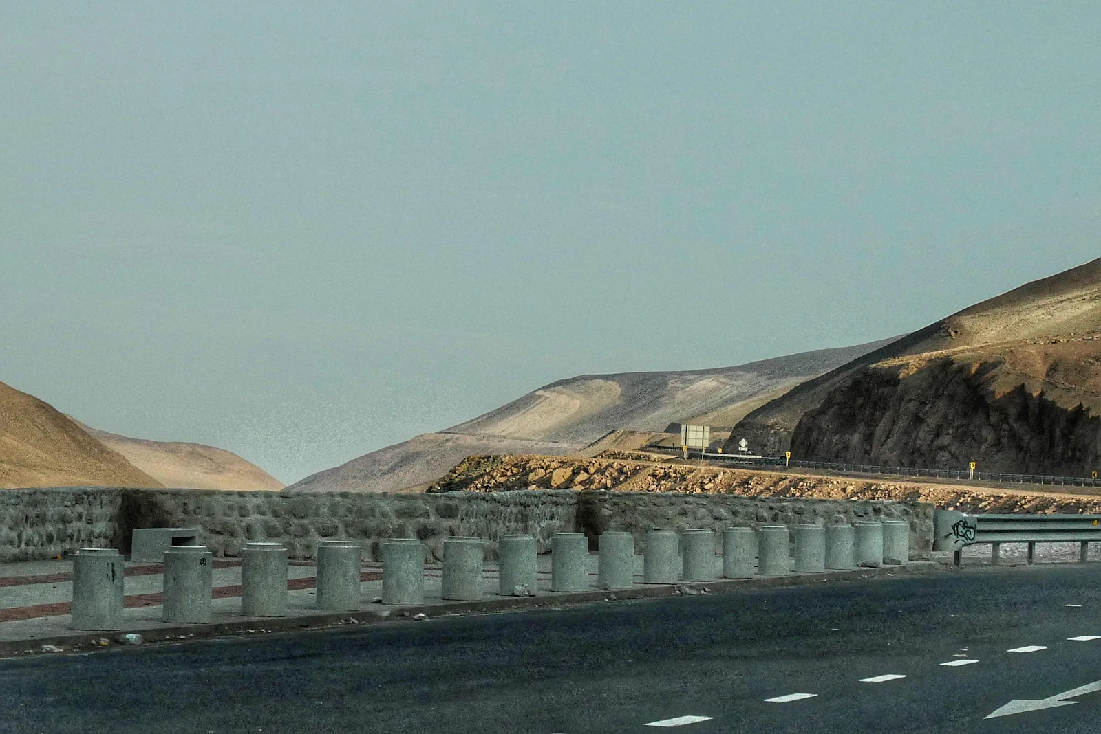
Below I have a not very clear photo of a “mirador” which is a scenic view point. They have them everywhere along this road in Chile. I’ve been grumbling about nowhere safe to stop at every canyon overlook the length of the Andes so finally someone heard me.
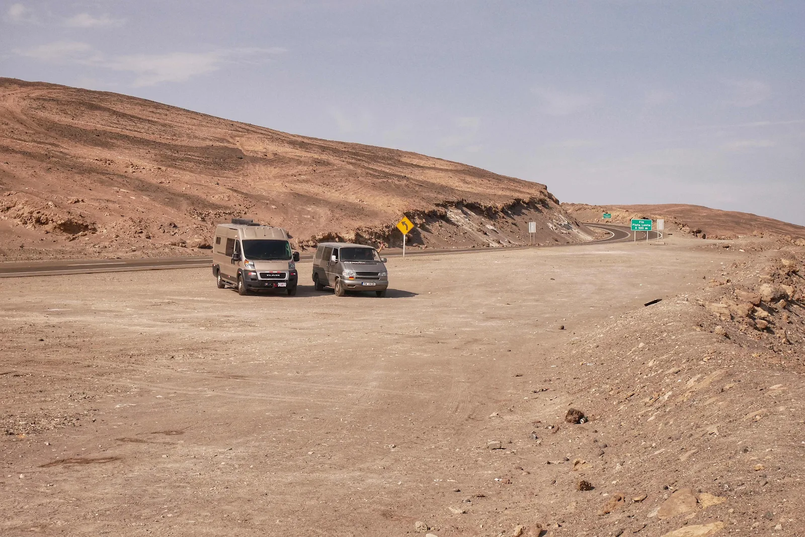
And they also have frequent rest areas which may not seem like much but the opportunity to get off the highway and rest or eat lunch safely is not a common thing at all thus far in Latin America. We are self contained enough we could easily spend the night in one of these pull outs.
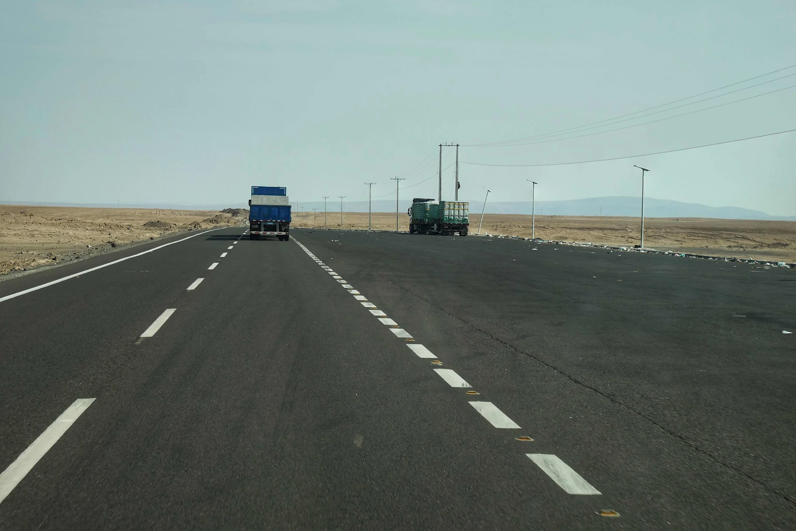
If it weren’t obvious enough on its own there were signs every couple of kilometers reminding us to engage low gear for the next however many kilometers. Yup, it was a long grade. They also have slow vehicle lanes on the uphills just for us.
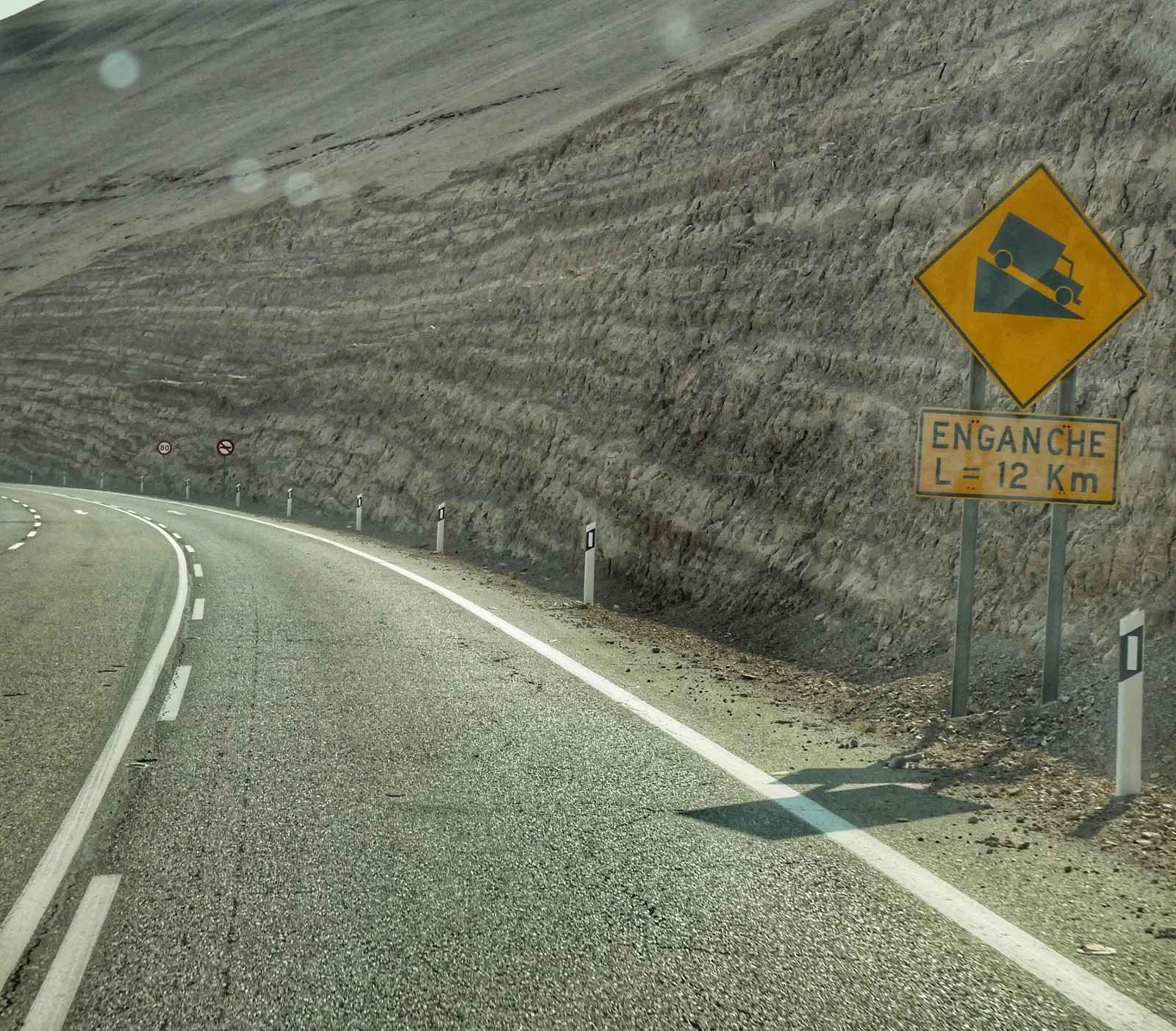
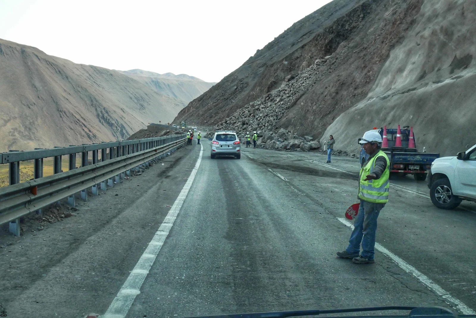
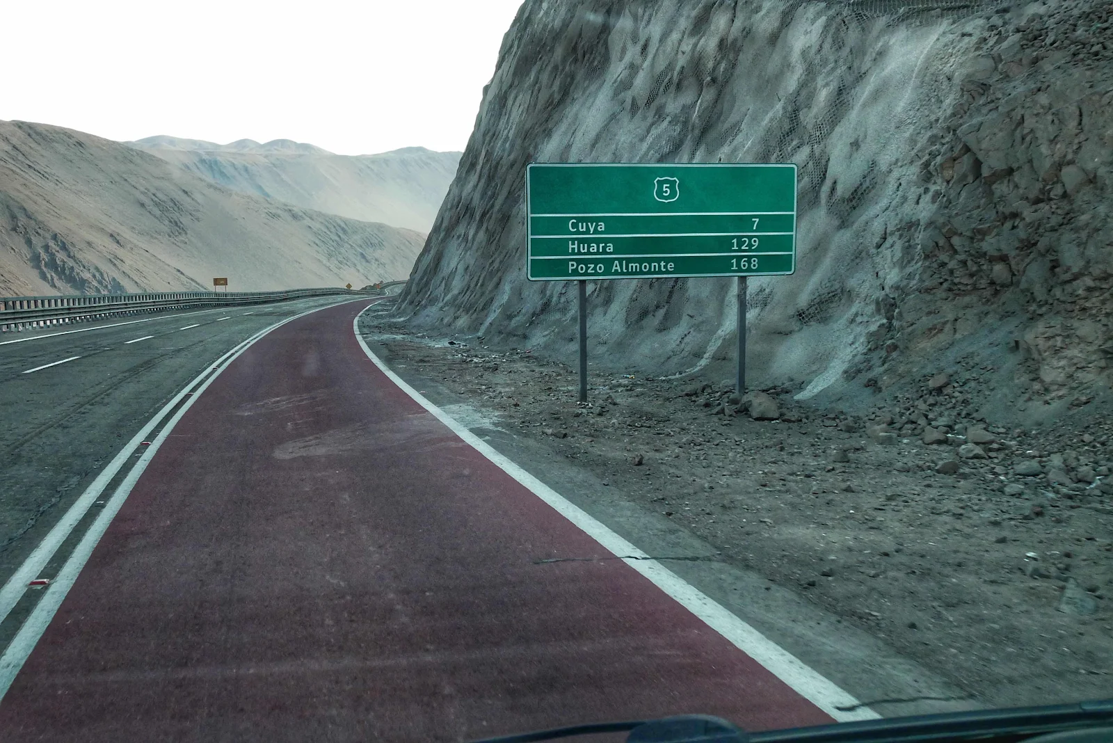
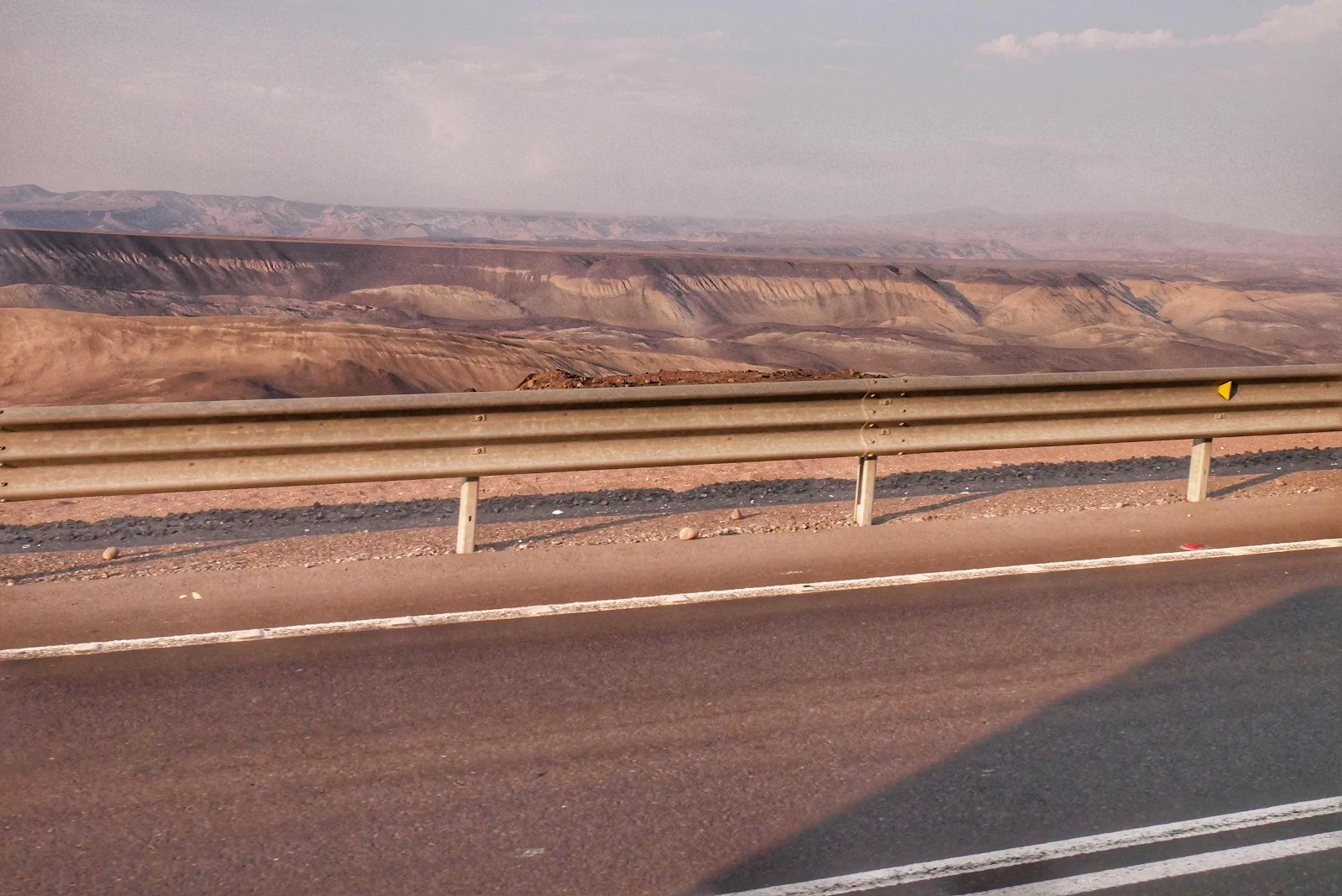
And then the red spot I drew across the highway... This is the location of the rock slide that has had the PanAmerican Highway closed for several days and that recently reopened to alternating traffic.
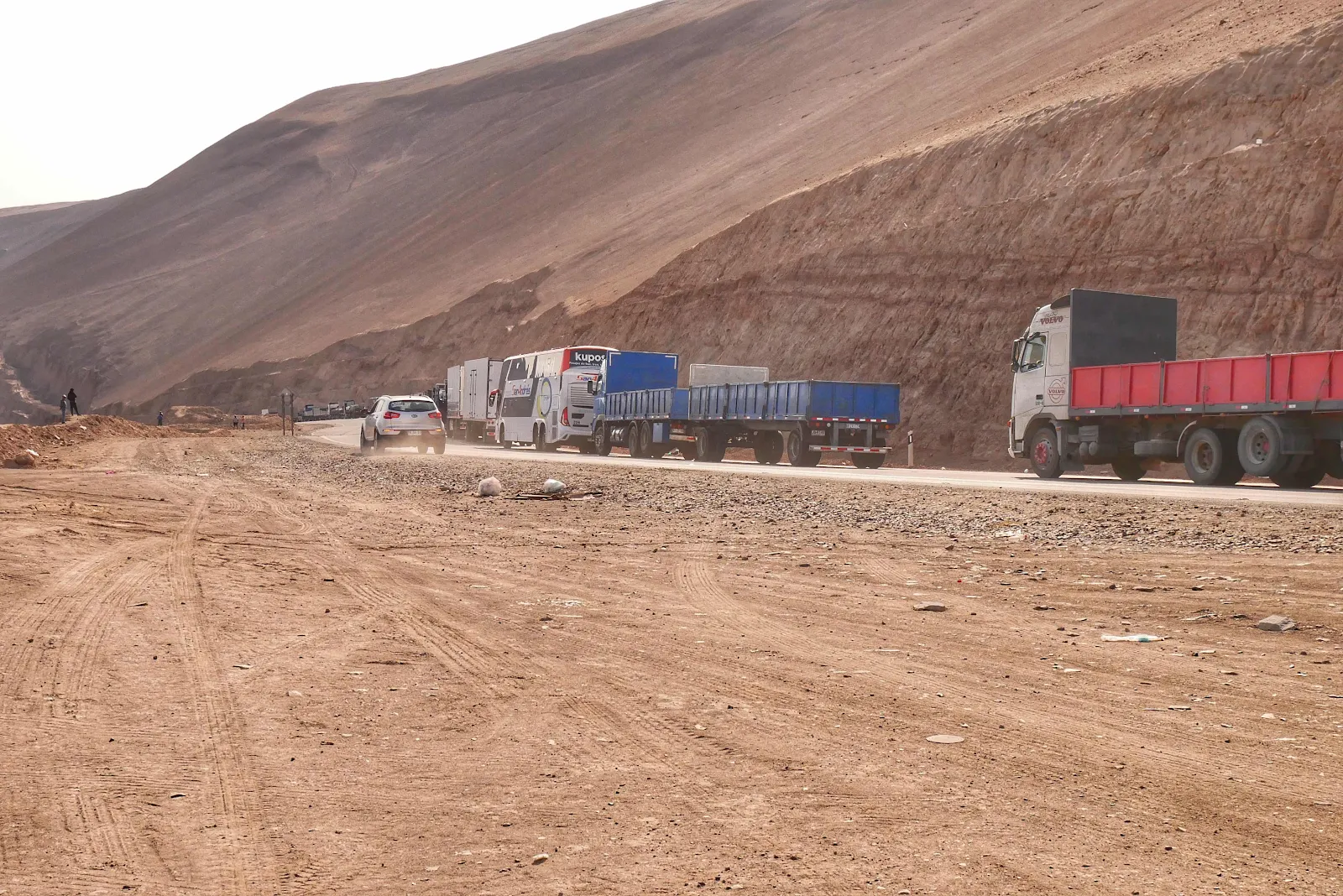
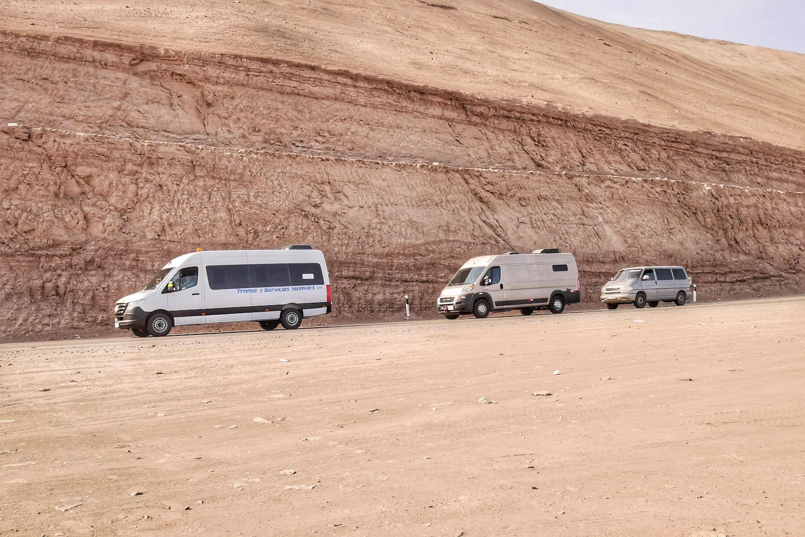
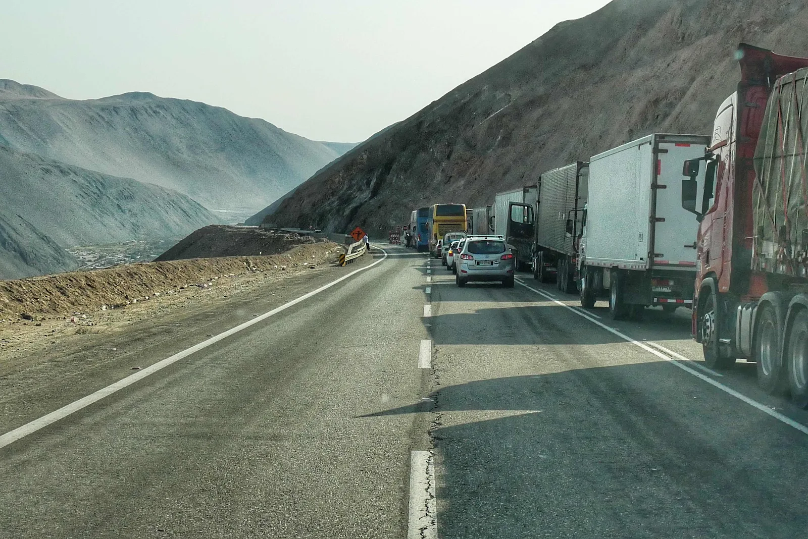
We started out at the back of the long line of trucks and then realized passenger cars were taking the center lane, the one used for uphill passing to create a waiting lane next to the truck back up. So we did the same. Poppa Bear, Momma Bear and Baby Bear:
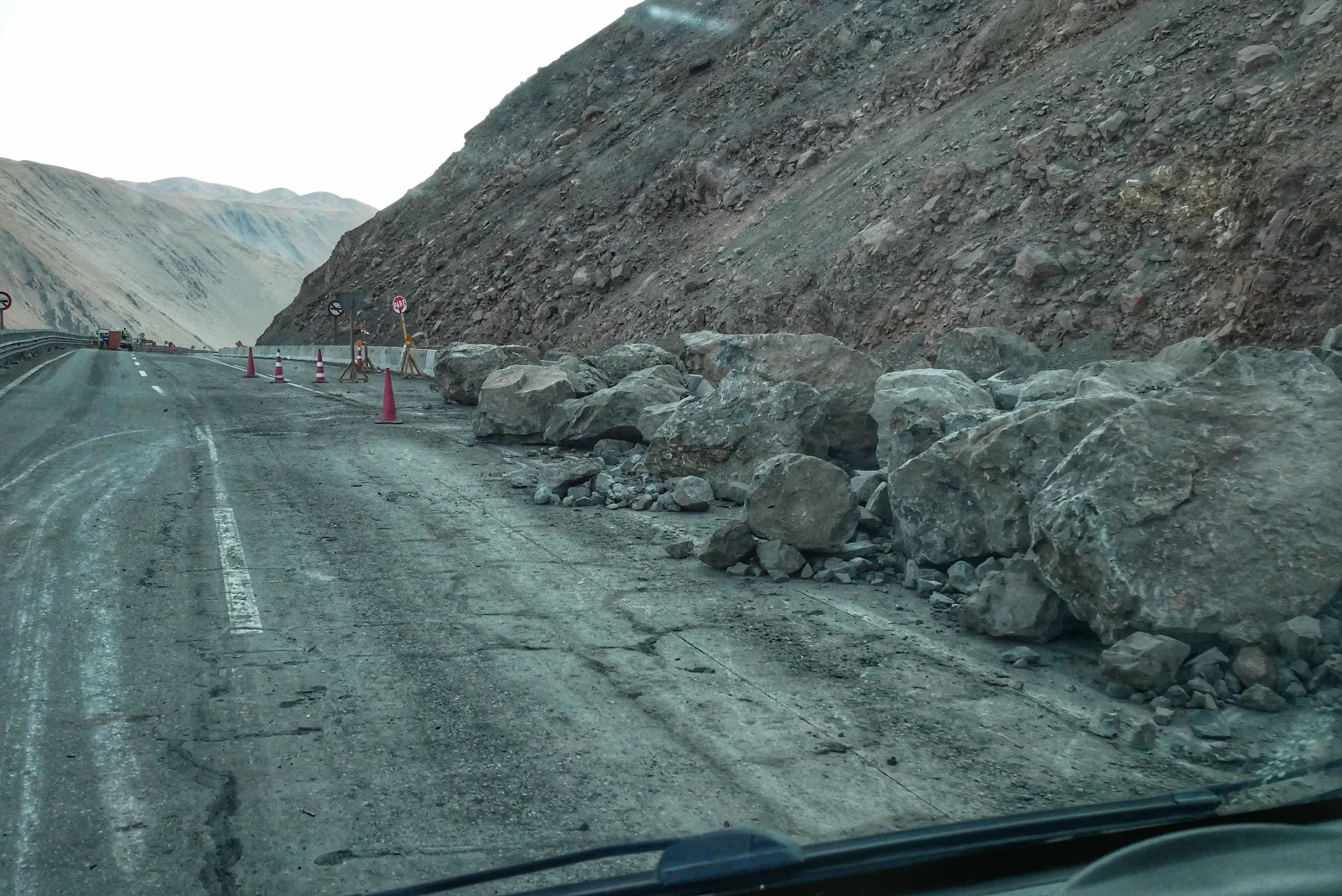
The problem at this point is that the gap is only wide enough for cars and the big problem is a giant boulder half the size of GANNET2 has rolled down the hill and crashed into the guardrail. They’ve cleared the rumble of smaller rocks that came down behind it but they can only clear the road so much before more rocks come tumbling down. Imagine your childhood digging a hole in the sand only to have more sand fall in when you reached that critical point.
We passed a police checkpoint on the way here and the friendly Carabinero (Chilean police) told us about this, saying there were three fresh rockfalls Friday morning. So they move some rocks, get some trucks through and then more fall and the gap gets closed or reduced.
We waited for a few groups of cars to come up then the road was closed as they cleared a few more rocks then they waved us on. I took my first photo when we stopped at 5:23 pm and started through the gap at 6:09 by my camera time stamps.
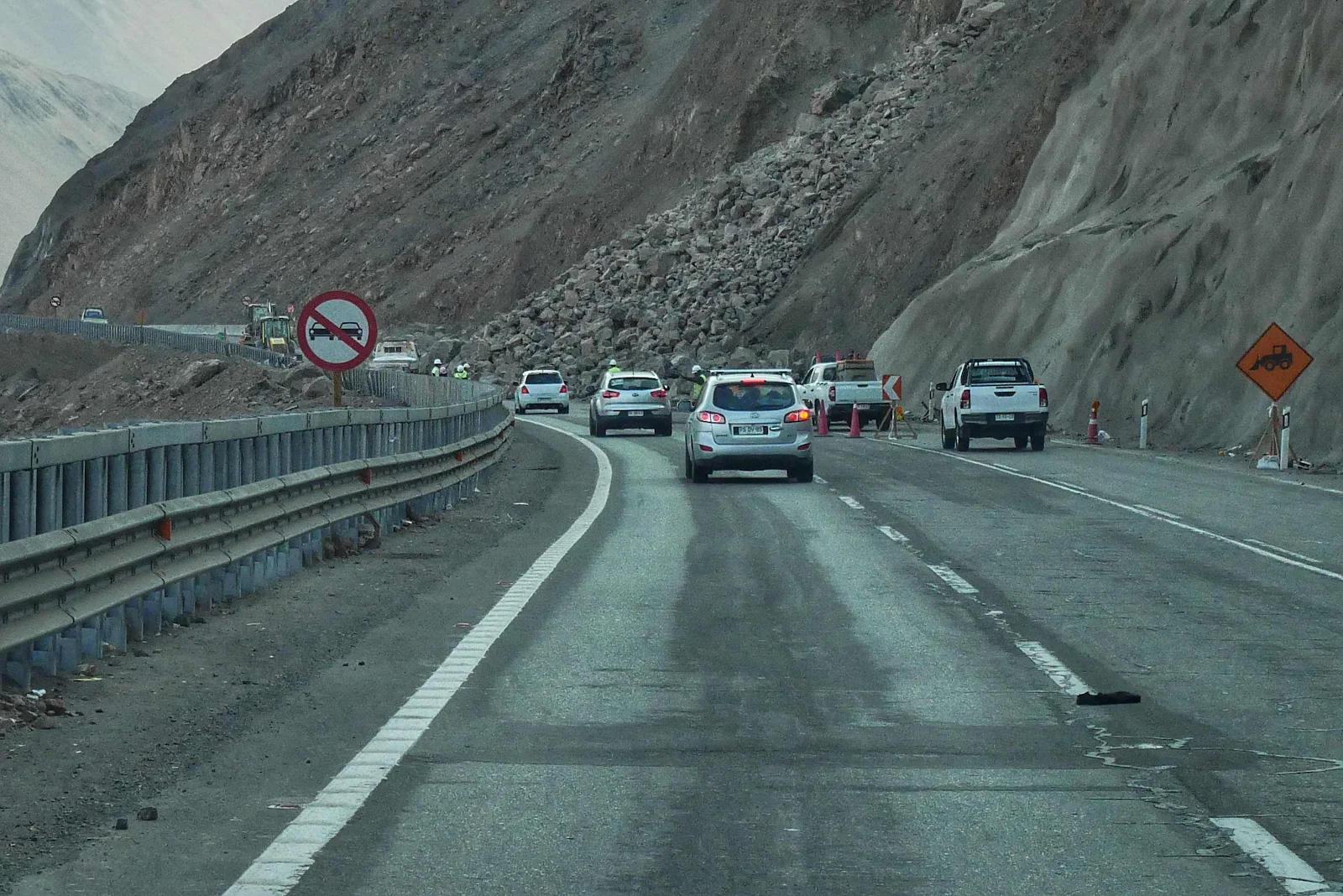
This is the tumble of rocks they are trying to hold back…
… and this is the boulder jammed against the guard rail. I will admit photography here was awkward and I snatched the pictures as best I could.
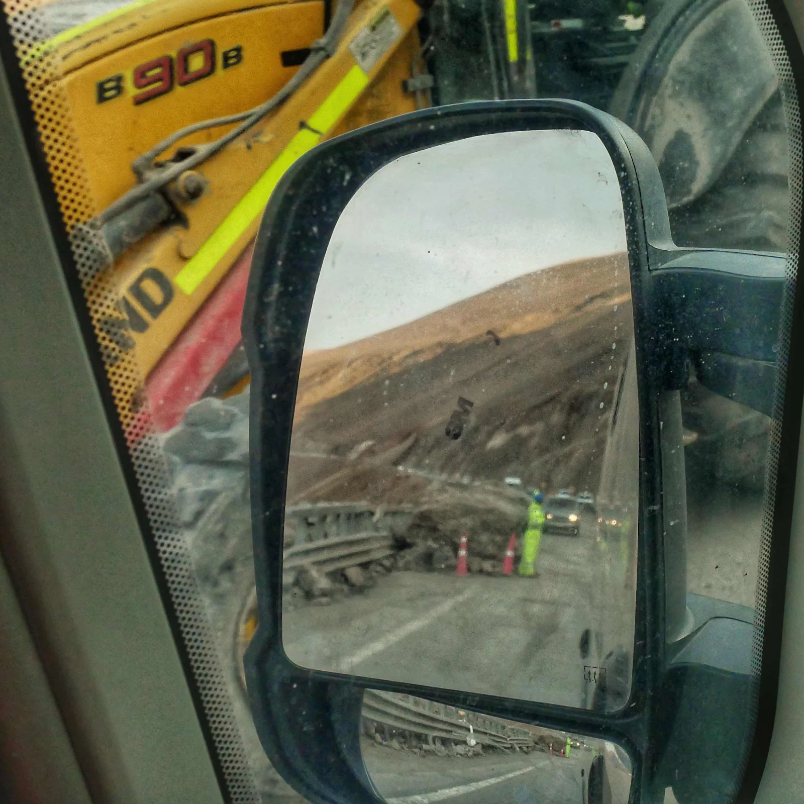
There was also one guy crouching behind another boulder holding a flag staring up at the avalanche ready to stop cars at the slightest sign of danger. That was encouraging.
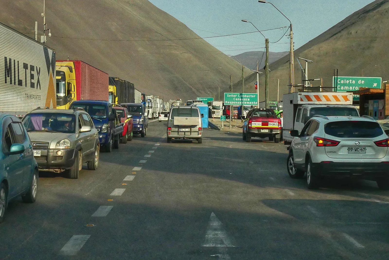
Then we had five miles of empty highway and to their credit the Chileans stayed in line except for two impatient souls who couldn’t stand it any more and passed everyone as we came in sight of the bridge at the bottom of the hill.
Then we had to negotiate the fruit fly check. There was one in Peru north of Tacna and there was one here at Cuya. Conveniently the Carabineros set up the northbound roadblock here so everyone was stationary for a while as the agriculture guy came by and took our offering of a pear. Cora and Florian sacrificed their tomatoes. Our cinnamon rolls were safe for breakfast at the beach (they heat up nicely in the air fryer in case you were wondering). We did buy some treats to celebrate…Chile or freedom or something.
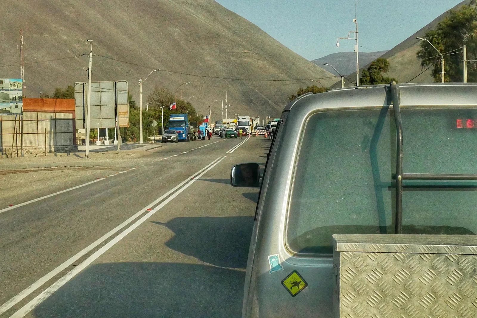
Fruit inspection. The Carabineros had the green and white Dodge Charger on the left. The ones we met were professional and cheerful and they checked our Immigration receipt only.
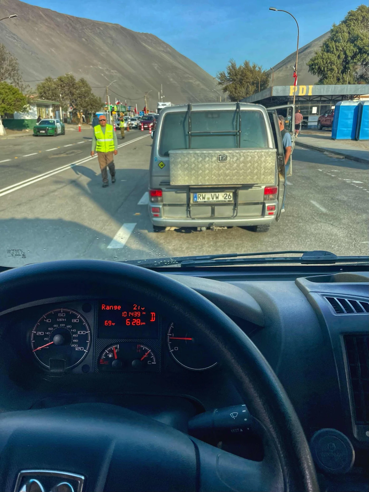
You can see we stick to American measurements and am/pm aboard GANNET2. In some ways switching to metric seems more sensible but we are used to measuring temperatures in degrees Fahrenheit and we have a grasp of the distance involved in a mile and we both know how to translate kilometers to miles. Besides I like to change the oil every 5,000 miles and this way I know where I am. It may seem eccentric but it works for us and it’s a deliberate choice.
It was spectacular in the sunset driving up a drive river bed with the hillsides tinted by a coppery green shade. Boring maybe but I enjoyed it even though we were getting pressed for time as our beach campground arrival time was close to sunset.
We had picked up a hitch hiker stranded by his bus not getting through and we ended up dropping Luis off at the intersection where we turned off for the beach town of Pisagua. It looked desolate to me but he was grateful. Then we drove the narrow but well marked paved road 24 miles (40 kilometers if you must know) to Pisagua.
The distances to the horizon on either side of the PanAmerican Highway were vast and completely devoid of human interference.
We saw dirt trails graded to the sides occasionally so there must be mining or something going on but from the highway the place looks empty. It was awesome, an overused adjective but utterly appropriate in this case.
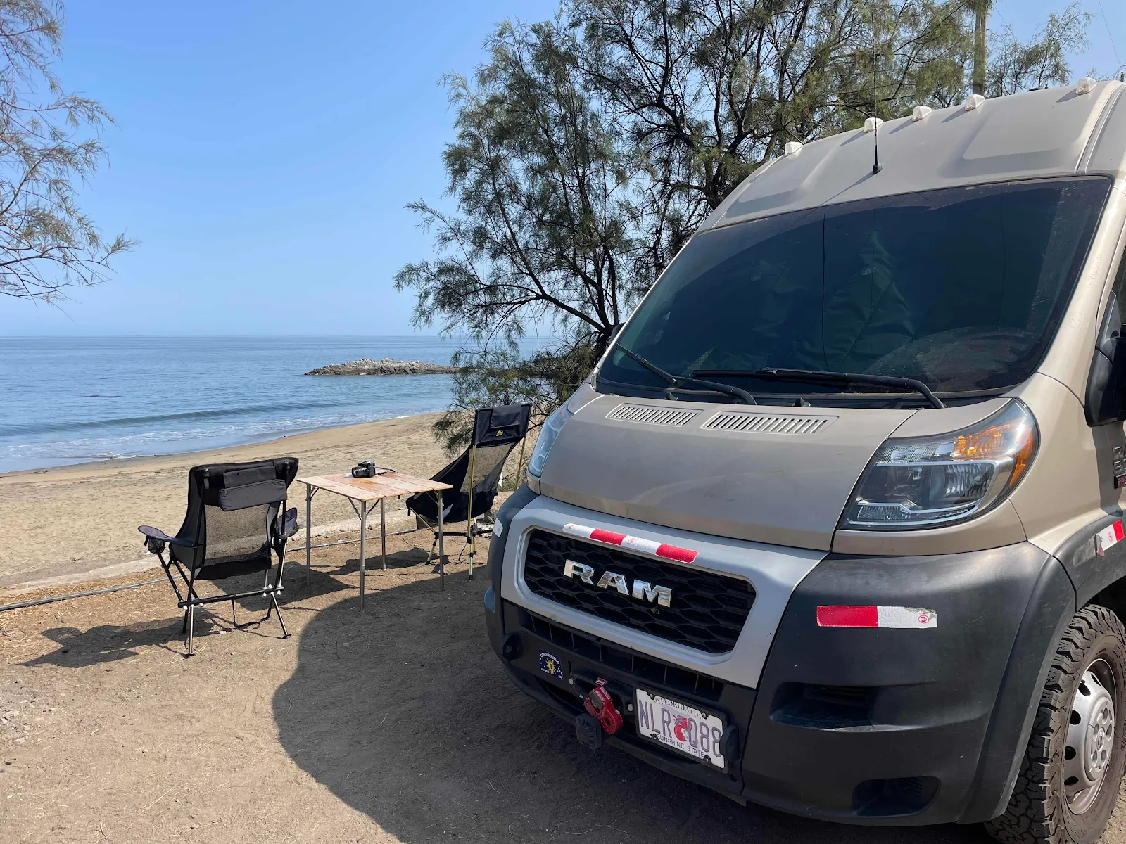
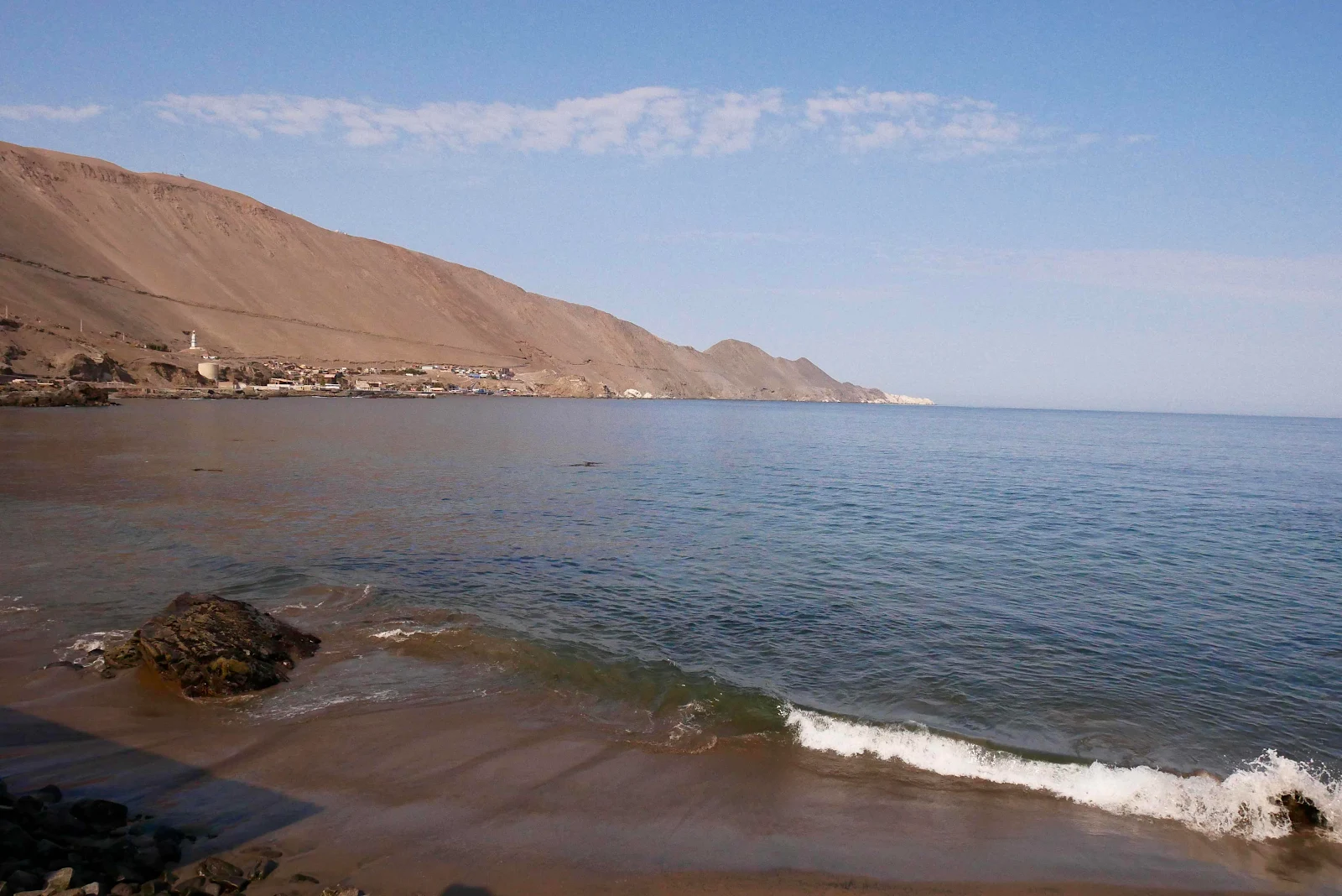
This was where we woke up Monday morning. Pretty nice. Reality check: You can’t swim the beach as there a dangerous undertow, the bathrooms for some reason are locked and the beach shower only has cool water. But there are trash cans and it’s free.
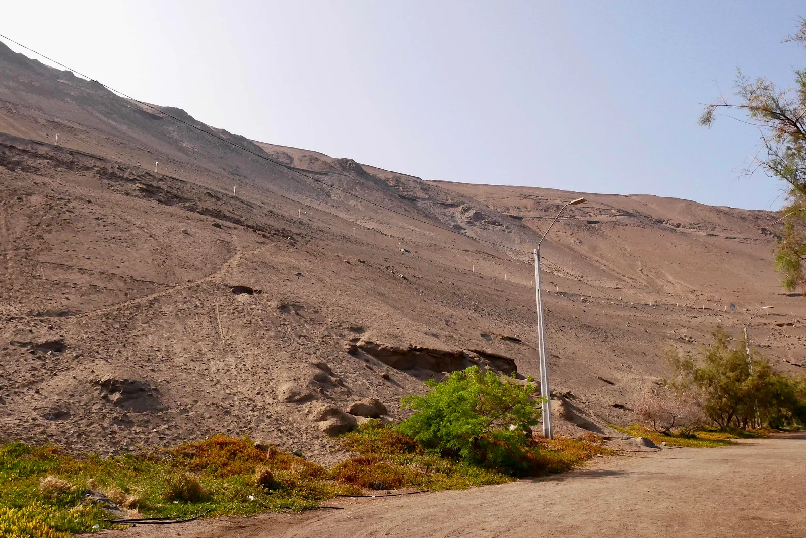
The road in was slightly problematic as we arrived, brilliantly after dark. We followed the A40 highway marked in red by my fat finger.
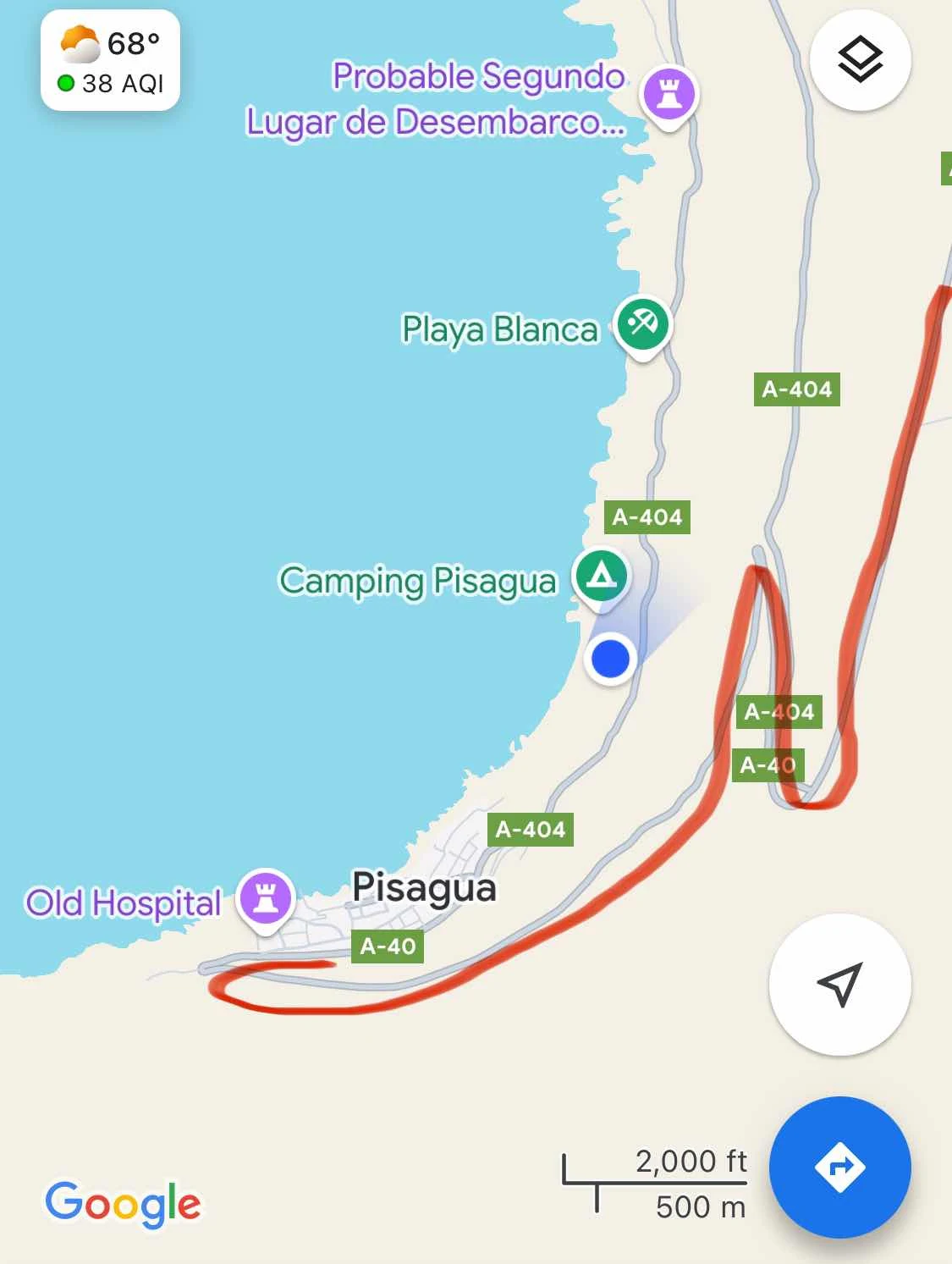
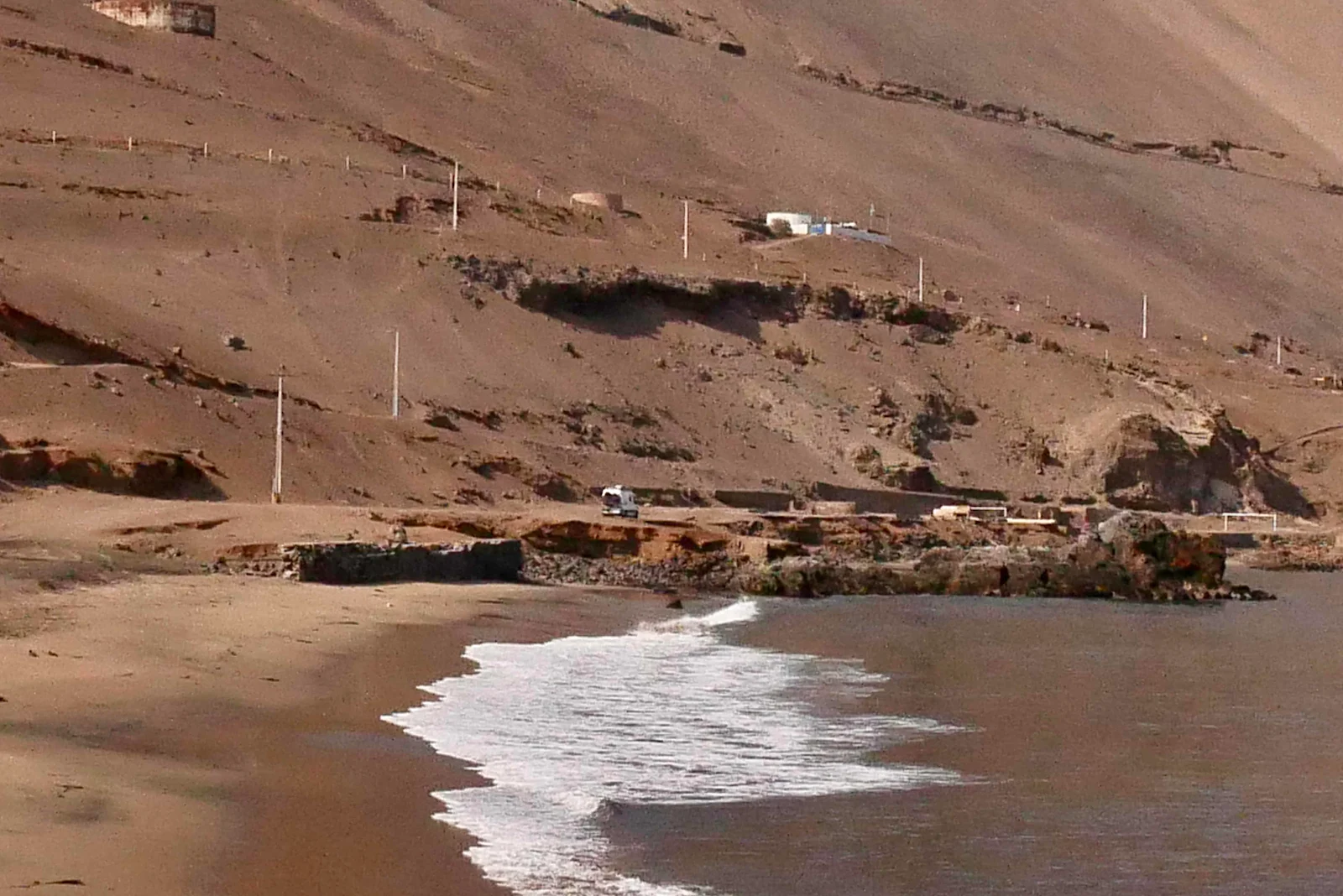
Which you can see below marked by the slash across the cliff above the village.
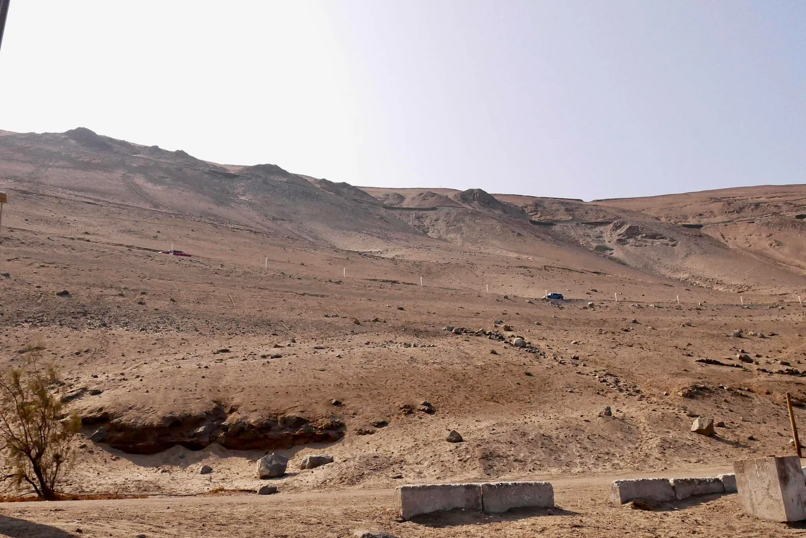
We created our own problem as we followed the blue Google maps line to our campsite clearly marked on the map above. When we had a choice to take the road to Old Pisagua uphill or to”camping” on a rough dirt road taking off into the void we chose the paved road. It’s marked with white reflective posts in the photo below which I took while standing on the beach. The dirt road zigs and zags down to the water underneath the paved one lane road to the cemetery.
Well, by the time I realized my error and I could look down on the Volkswagen comfortably parked…
…we had a ways to drive backwards to the intersection with the dirt road to the beach which we should have taken originally and ignored Google. An amateur mistake.
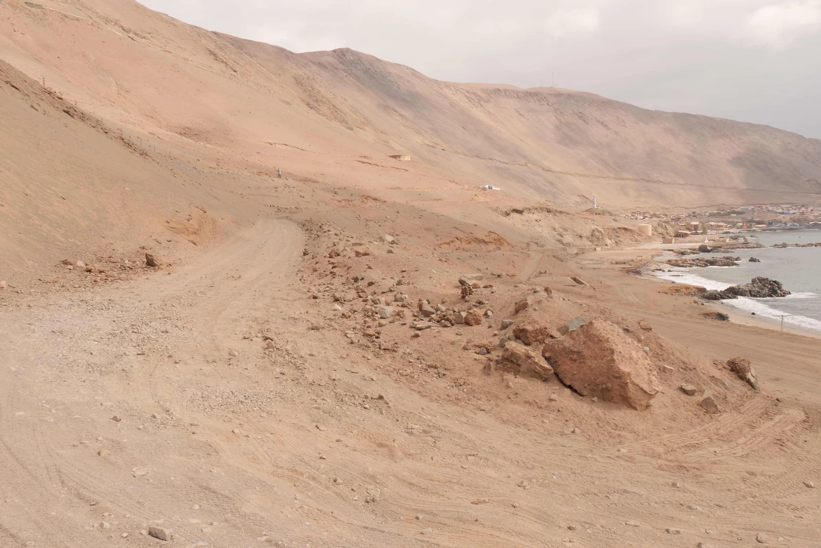
Eventually I backed into a wide spot and took a 21 point turn very gingerly with my headlights pointing out to sea freaked out inside that I might forget to engage reverse and launch us down a 200 foot cliff, Layne I knew was churning about that issue also with her head got heights. We got it done without dying you may be surprised to learn and I drive back to the “camping” arrow. Of course by the time we started down that road I had lost my navigational confidence and wondered how easy it would be to back up a dirt hairpin if this one was wrong.
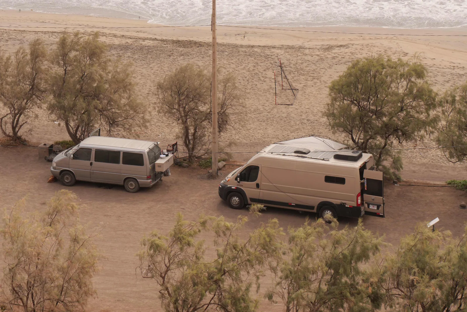
Then I saw a flashlight coming up the hairpins and Florian arrived to reassure us and we zigged and zagged with confidence onto the beach parking lot. We barbecued pork chops and sausage on the grill he was already nursing and drank beer and passed out.
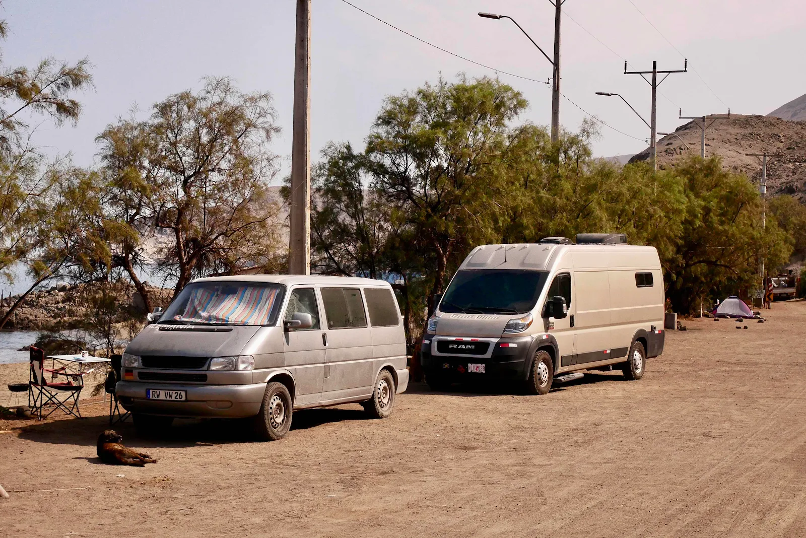
I gave some treats to the camp host’s dogs while he was away at work but Rusty got annoyed so I shoo’d them to the Volkswagen, we set up our awning and I settled in for some reading after I finish this latest chapter of the journey to Ushuaia.
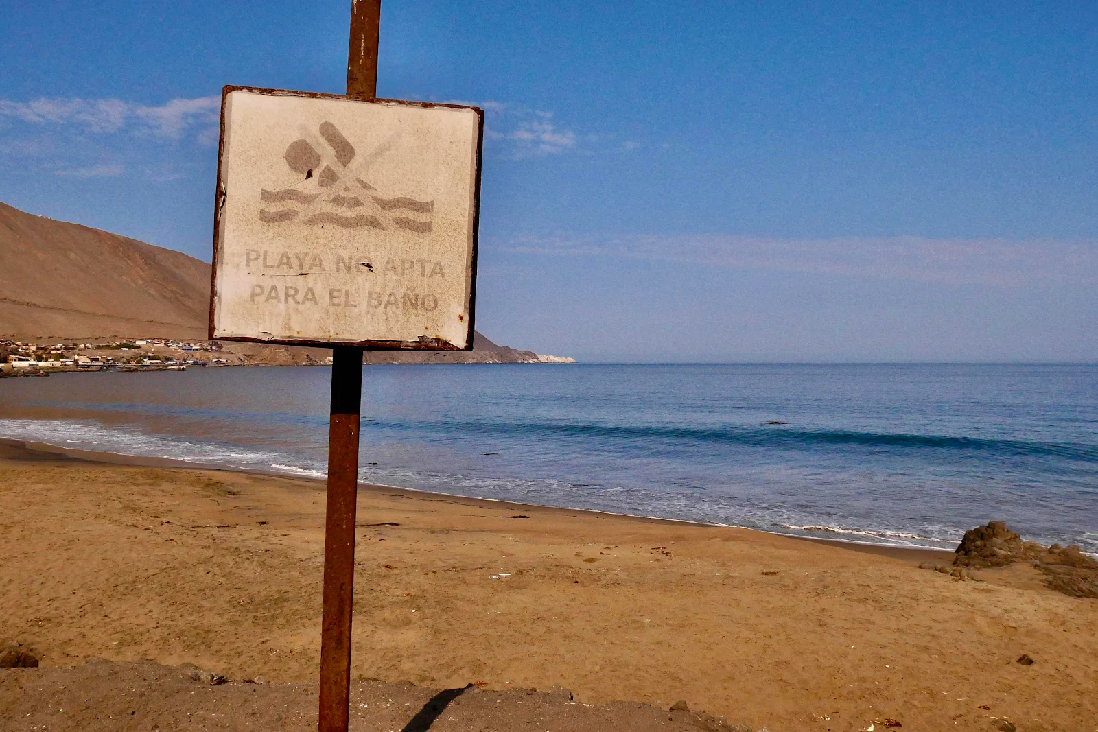
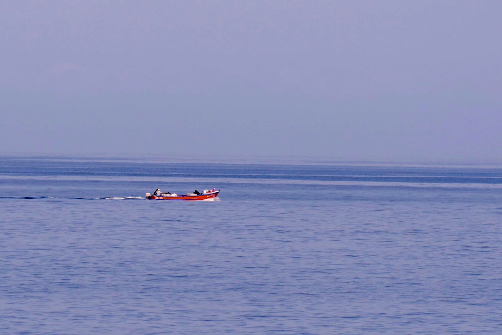
Undertow prevents swimming but not fishing.
It’s very good to be at sea level and fill your lungs with oxygen. The Andes have taught me I enjoy mountains for variety but I like lower elevations for permanent living. In an era before climate change I enjoyed beach living but as I watch hurricane Milton take aim at Tampa ten days after Helene I’m going to be fine not sitting through one more hurricane in my life.
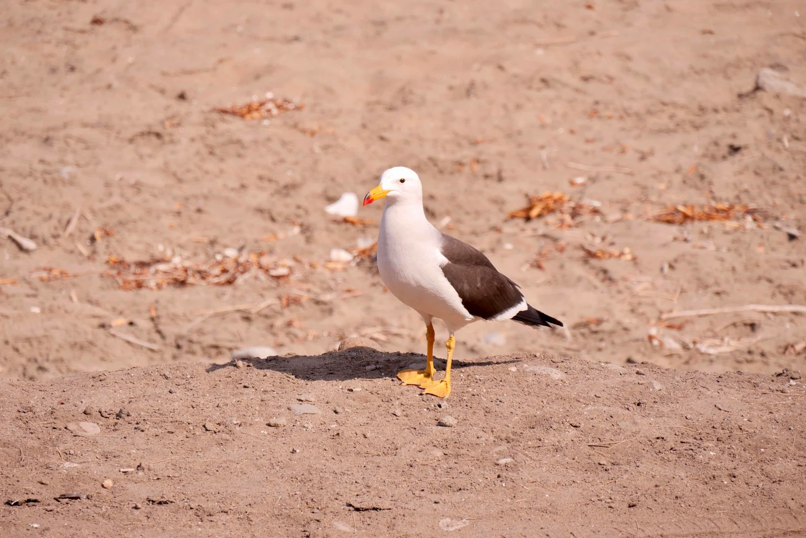
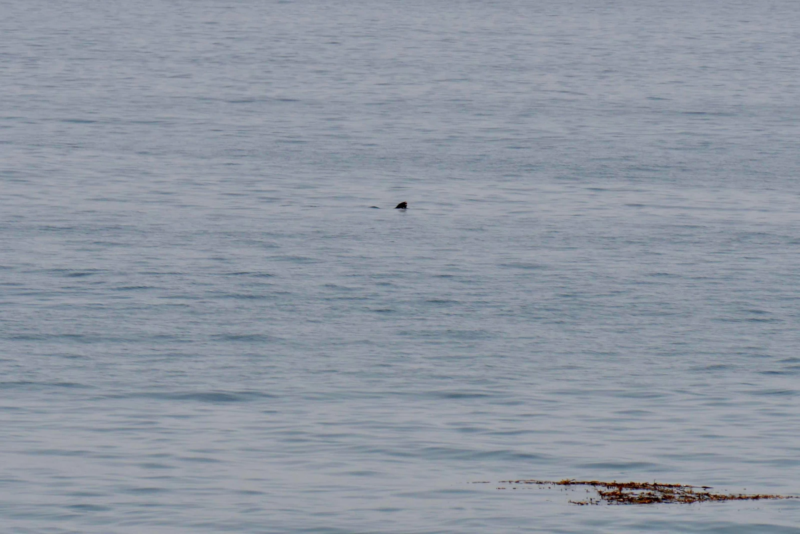
Its pretty nice here watching the harbor seals and listening to the gulls demanding food while enjoying a mild 70 degrees and no insects.
The fact is this isolated fishing village was not so nice for many residents during the 20th century as I discovered when I did some looking. Tomorrow when we leave we’ll stop in the village and check out the waterfront said to be pretty but I shall be pondering those unfortunates who were forced to live and die here buried in the isolated cemetery.

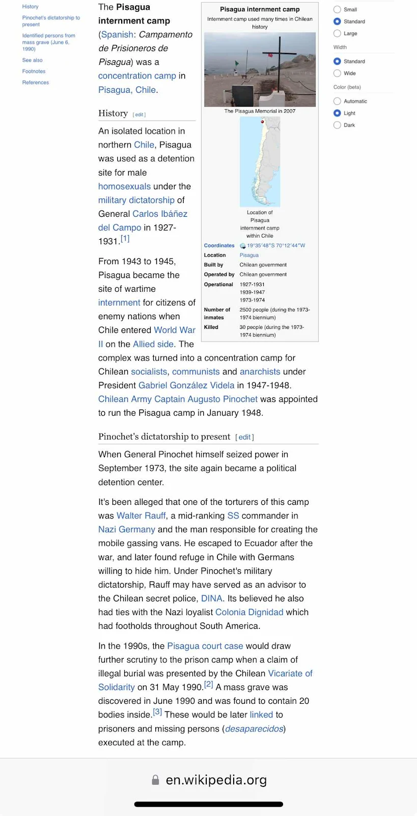
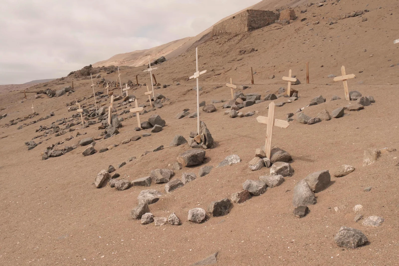
Known Only To God.

2 comments:
Oops! Well, glad you were able to squeeze past the boulder, and then keep it on the road down to the beach.
Interesting (and very sobering) about the internment camp and cemetery. :(
Also, how are Layne's peeps in Celo doing?
Post a Comment