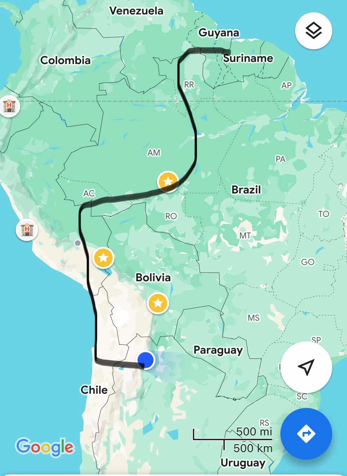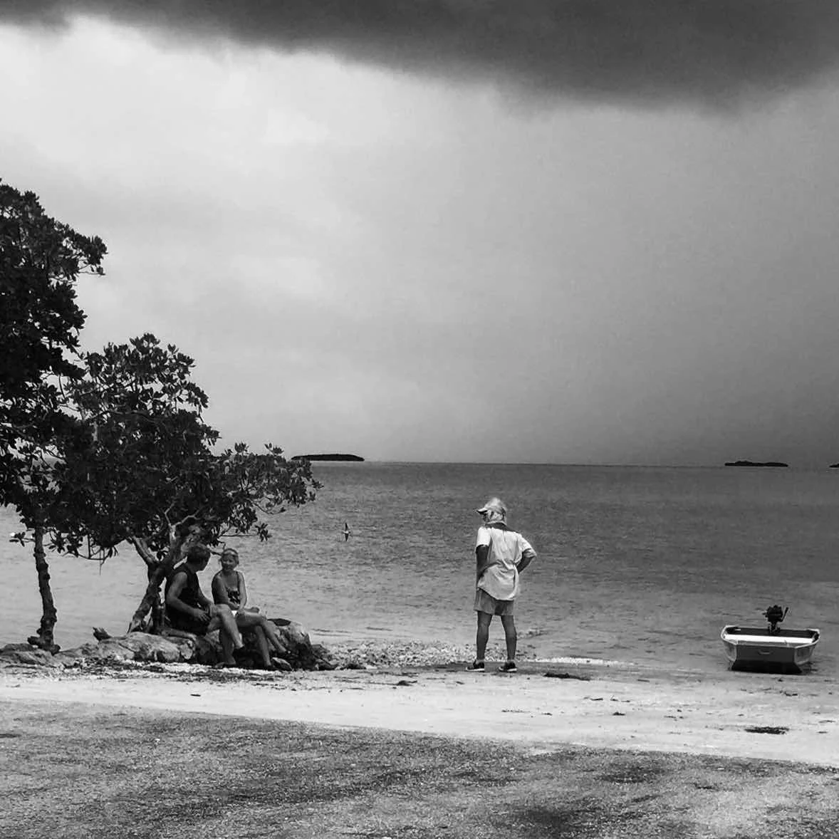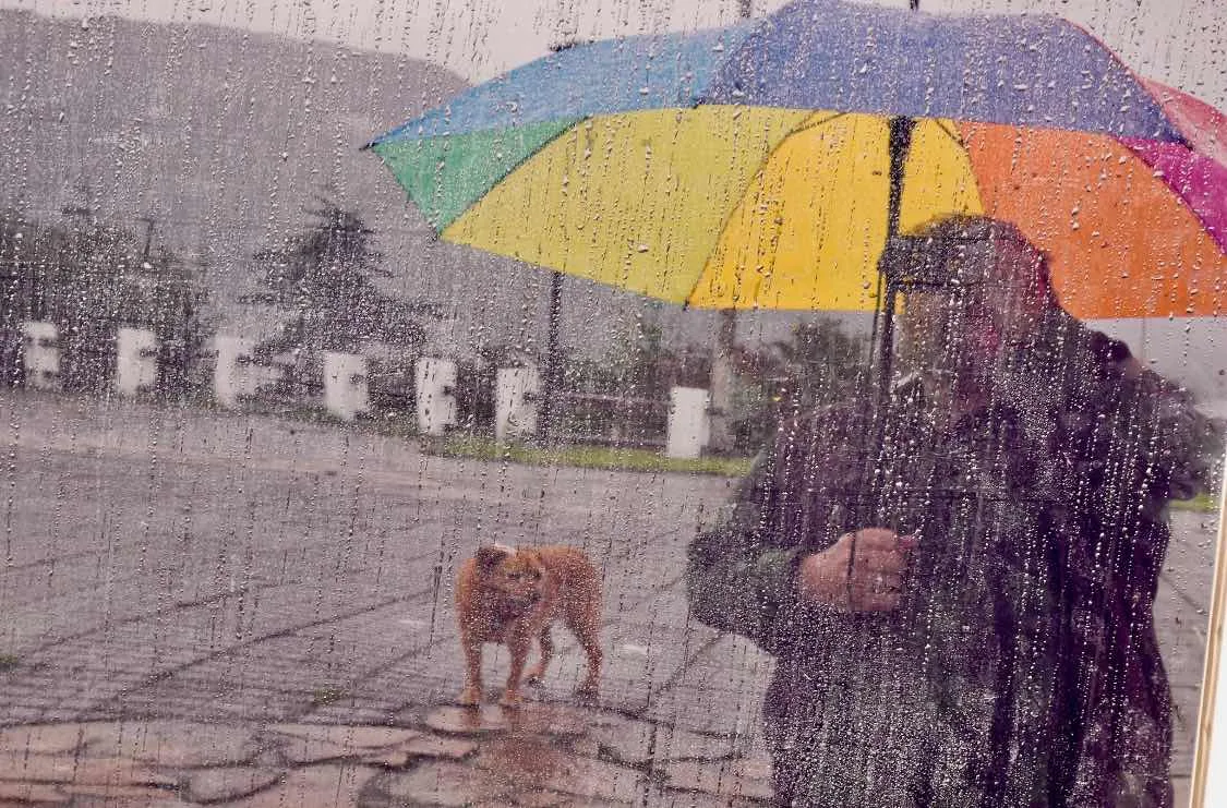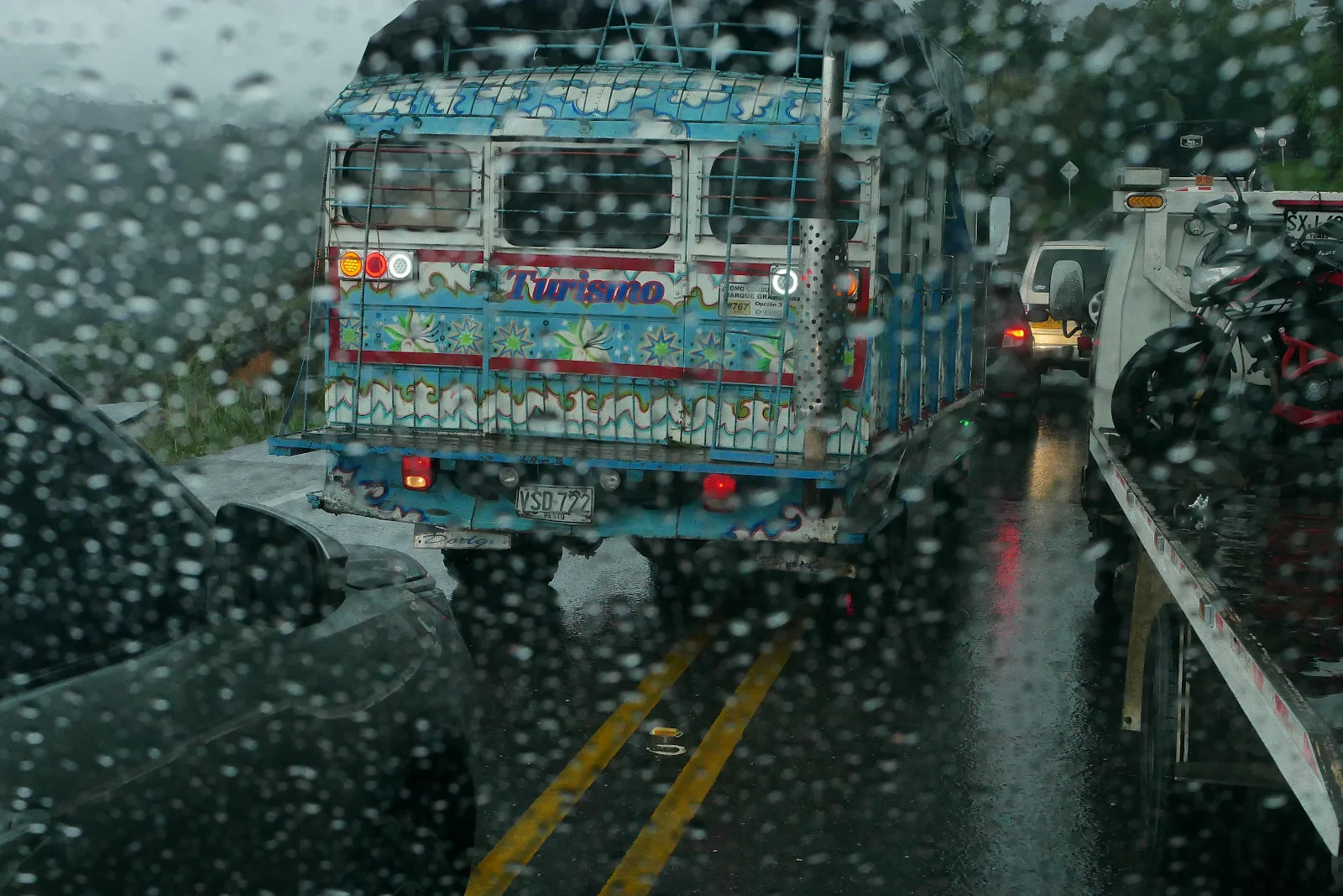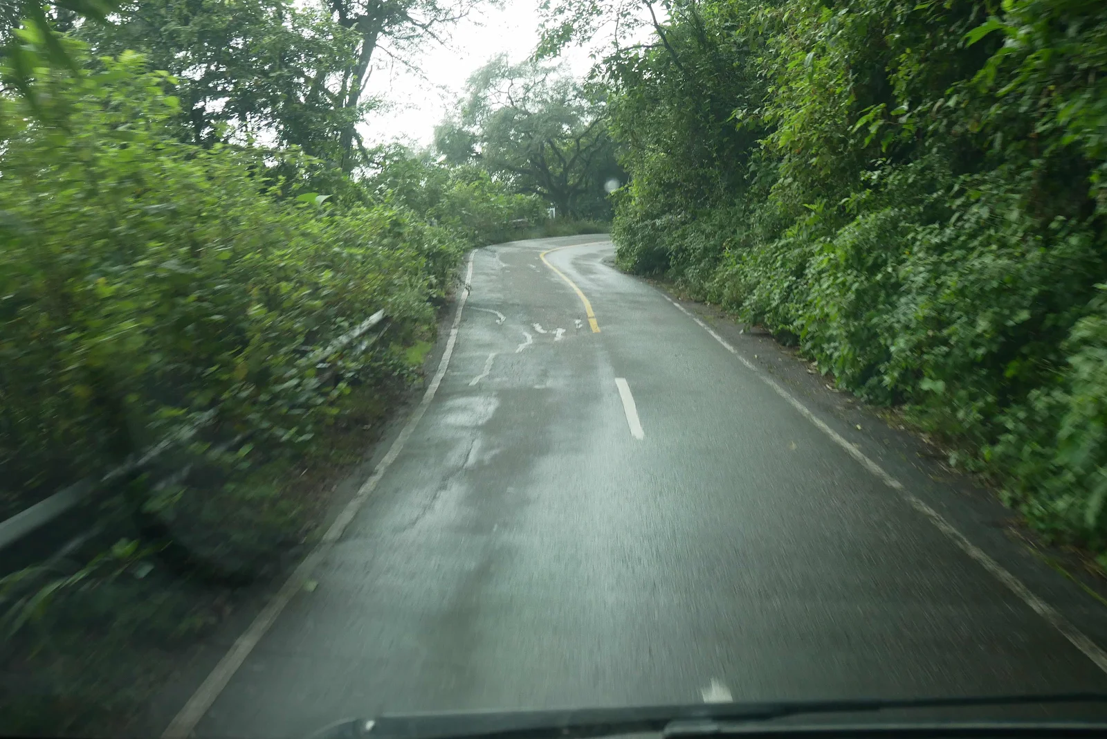
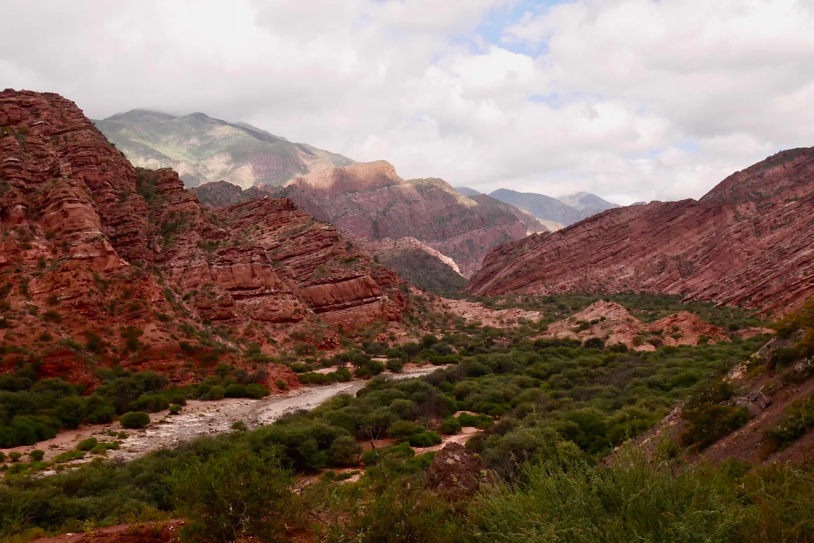
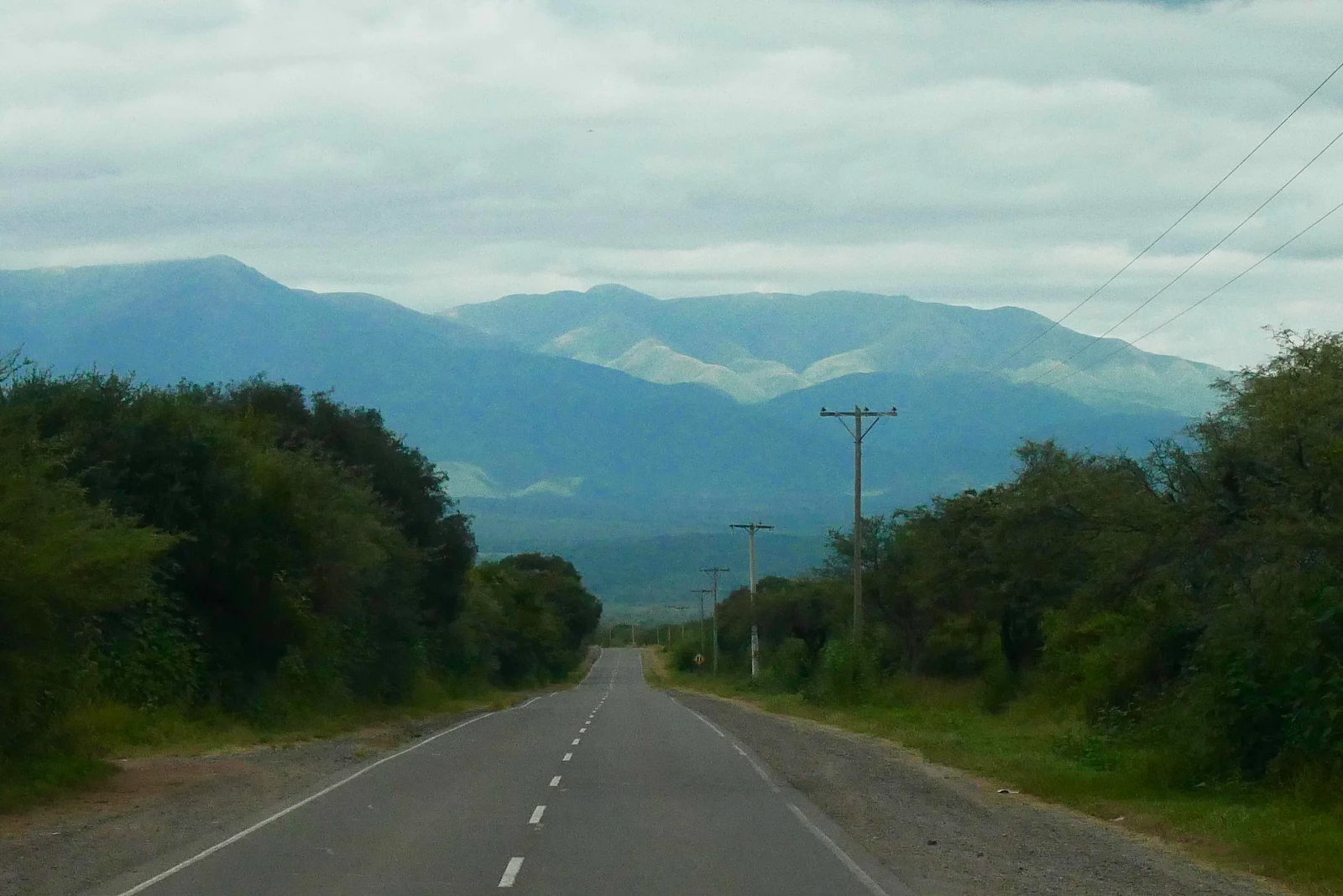
Above the rainforest Highway 9 from San Salvador de Jujuy to Salta and below Highway 68 through canyon country near Cafayate.
We left the campground at Yala north of San Salvador at 8:30 which wasn’t too shabby considering it got light only an hour earlier. Rusty held things up a bit by declining to leap aboard GANNET2 with his usual vigor. The more half hearted he is the more he liked the camping spot he is forced to leave. El Refugio was full of long grass and the campground dogs totally submitted to his will and stayed away. But we had dog papers to get in the city.
We arrived in San Salvador before the heavy commute began which was good for us. Argentina runs on an odd schedule. Most offices and shops open usually around 9am to 1pm and then close till 5pm and then open till 8 or 9pm and everyone has dinner late at night. The agriculture office opened at 8 they said in Google maps.
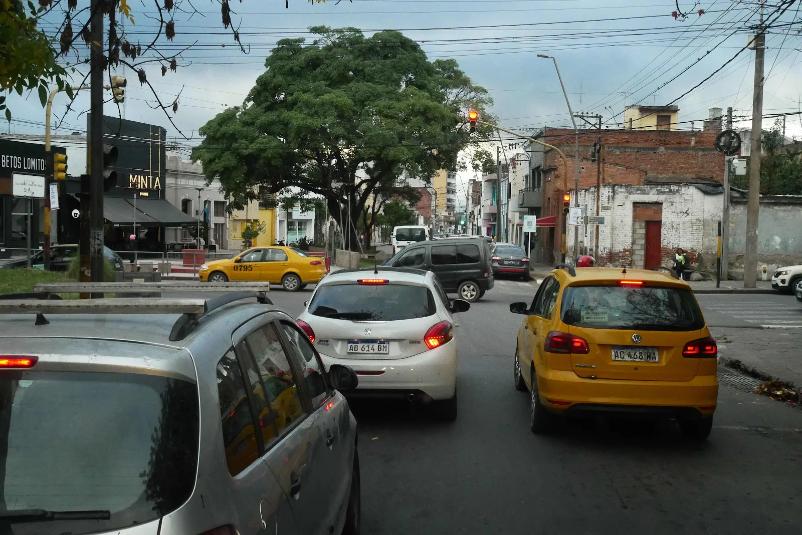
I was there at nine with Rusty’s health certificate and de-parasite certificate. The clerk tried to wiggle out of it by asking which pass we would use to go to Chile but I stuck with Jama which is firmly in her jurisdiction and she reluctantly got typing, inside her almost anonymous office:
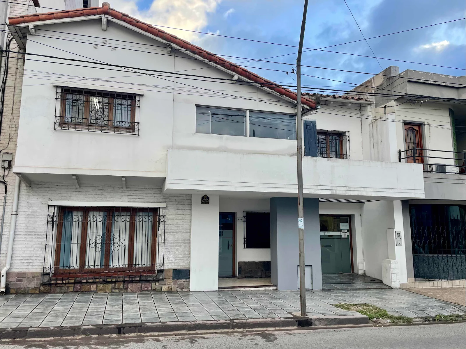
She sent me to an insurance office which has payment office inside and they also made photo copies for me to take back. Rapi-Pago is a chain of counters in various stores, rather like Western Union where you can send payments to government accounts or across the country. Had I been ready to wait three days the certificate would have cost a dollar. As Easter is upon us and the country shuts down soon I wanted the paper immediately. That cost me $32. A nice gig eh?
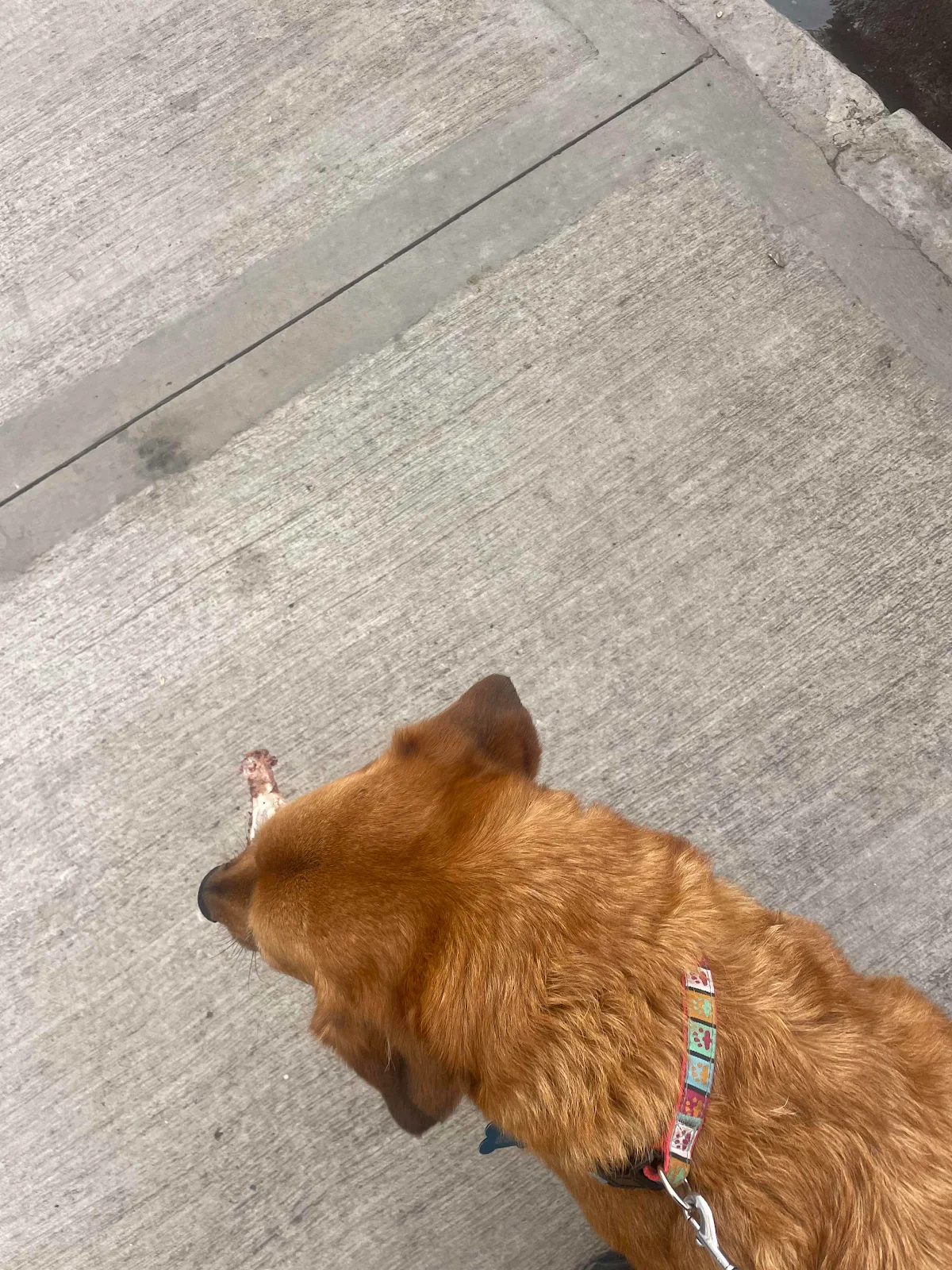
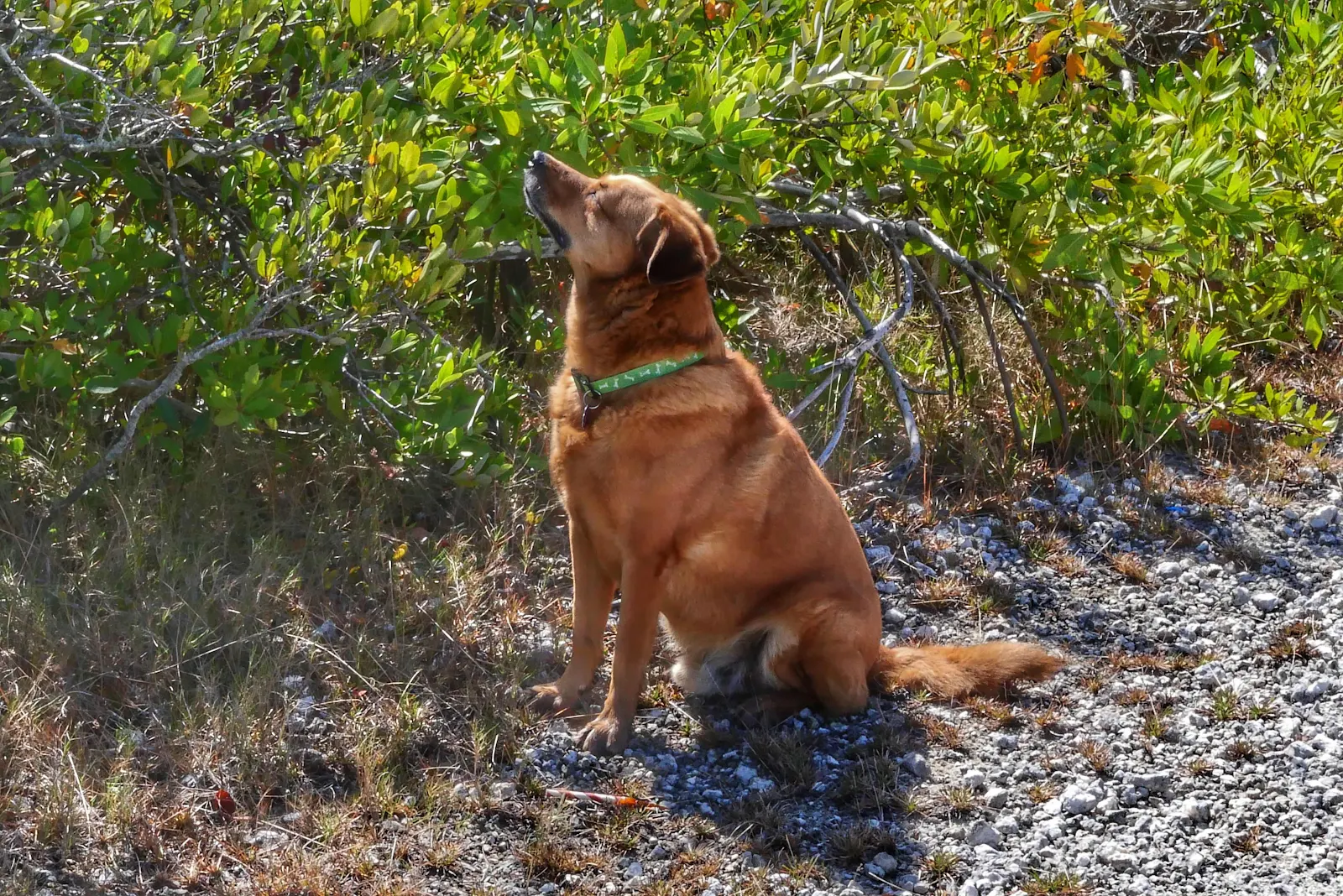
San Salvador is one of the messiest cities I’ve seen in Argentina. As Rusty had been perfect as usual he deserved a walk so round the block we went. He made the most of it sniffing every corner and every blade of grass and every piece of trash. He found two bones with raw meat. If we offer him raw meat he looks away as he expects his steak to be cooked. But if he finds a fresh bone on the sidewalk he won’t let it go and I’m not putting my hand down there. He enjoys rude good health so I let him get on with it.
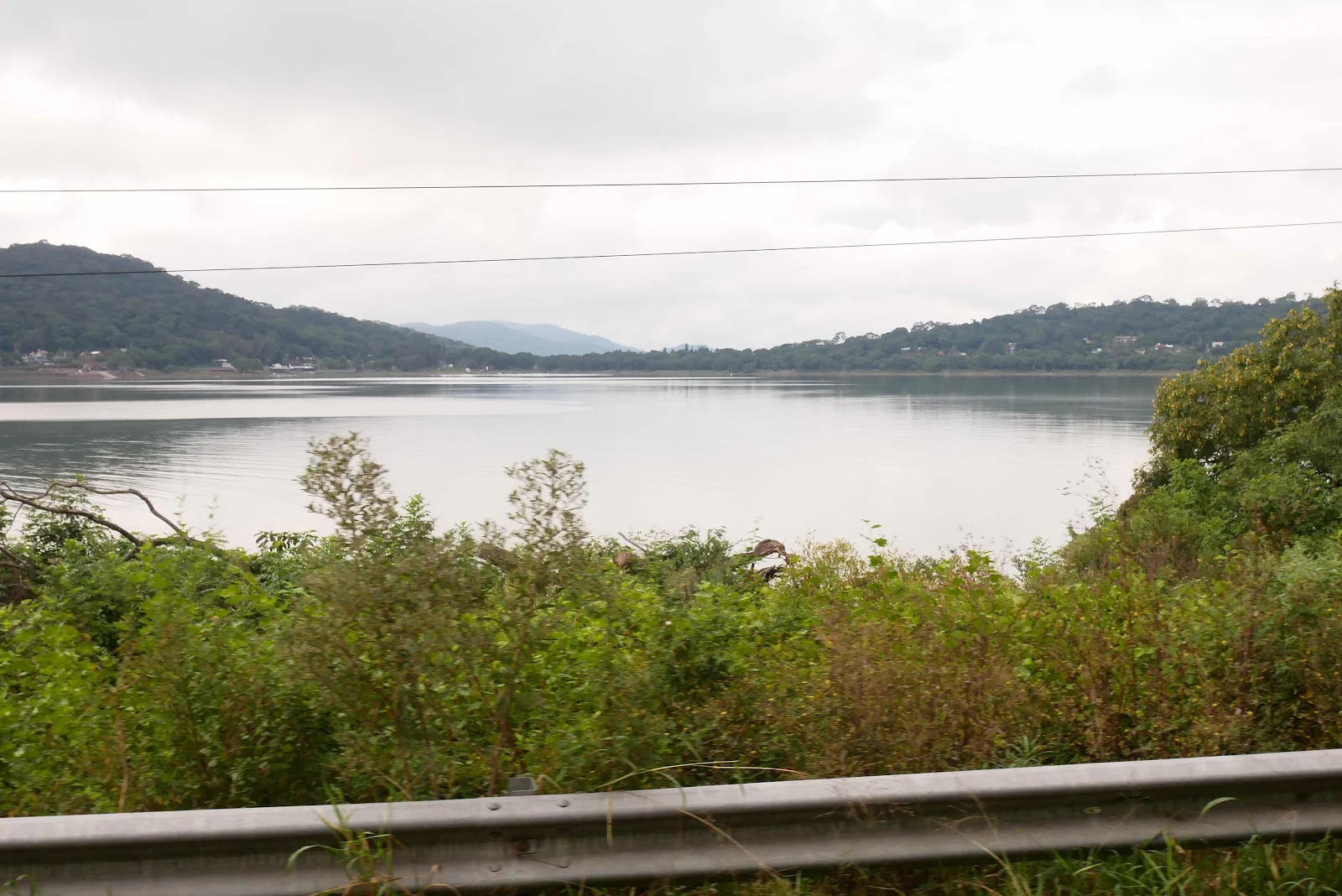
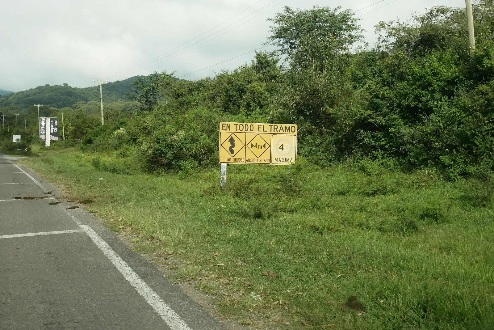
Highway 9 in this section is short but quite tricky. The freeway, Highway 34 is pretty torn up in the southbound direction so I was hoping to get a truck free road with decent pavement.
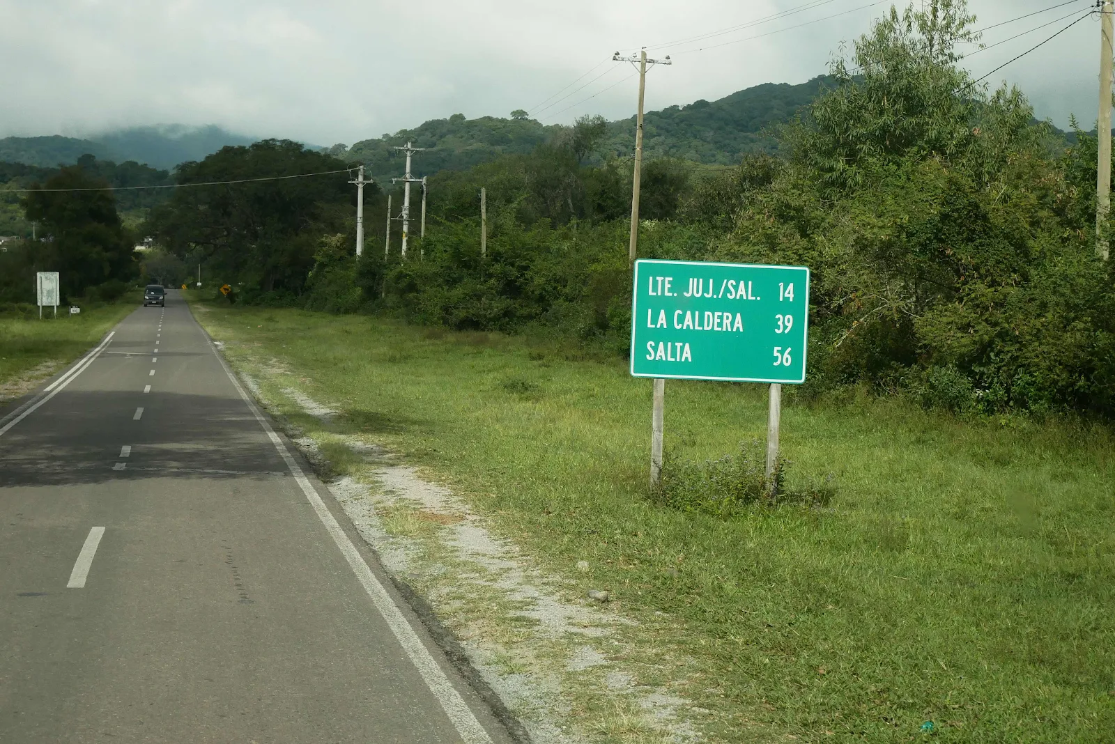
That it was barely one and a half lanes wide was a bonus. Layne did not like it but I pressed on as she didn’t issue a veto.
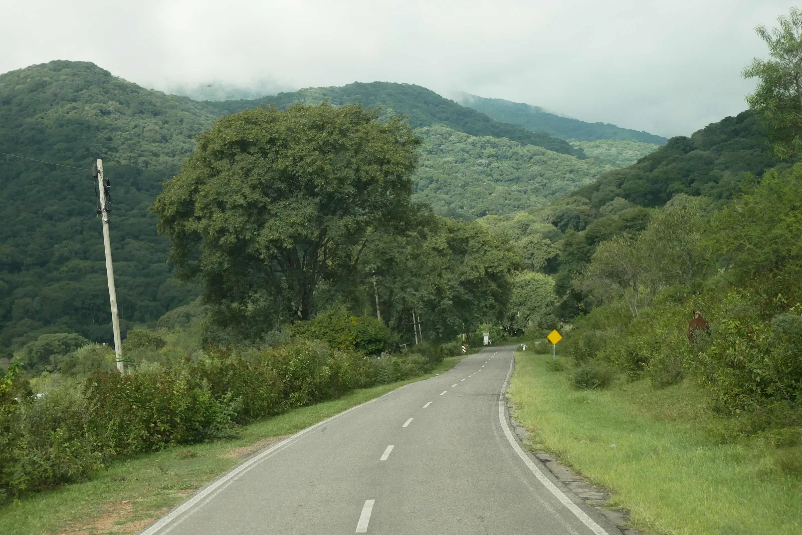
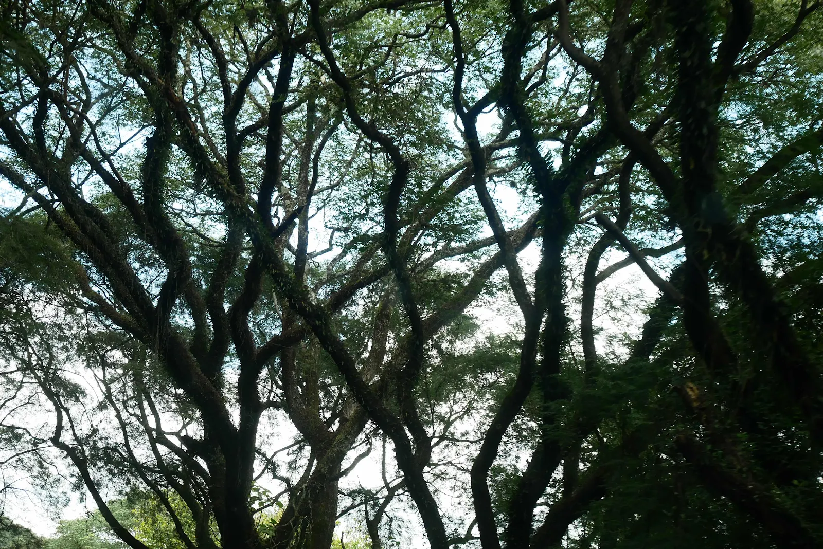
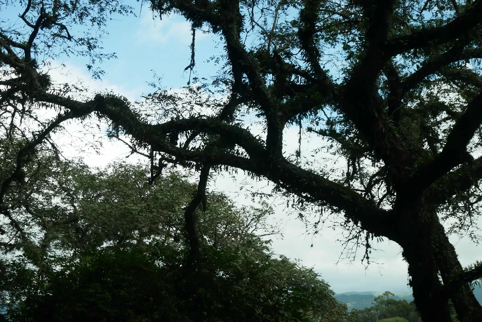
I don’t think we’d do it again but it was different and interesting and give it credit the road which went through the rainforest up to 4500 feet at the pass, was all well paved all the way though.
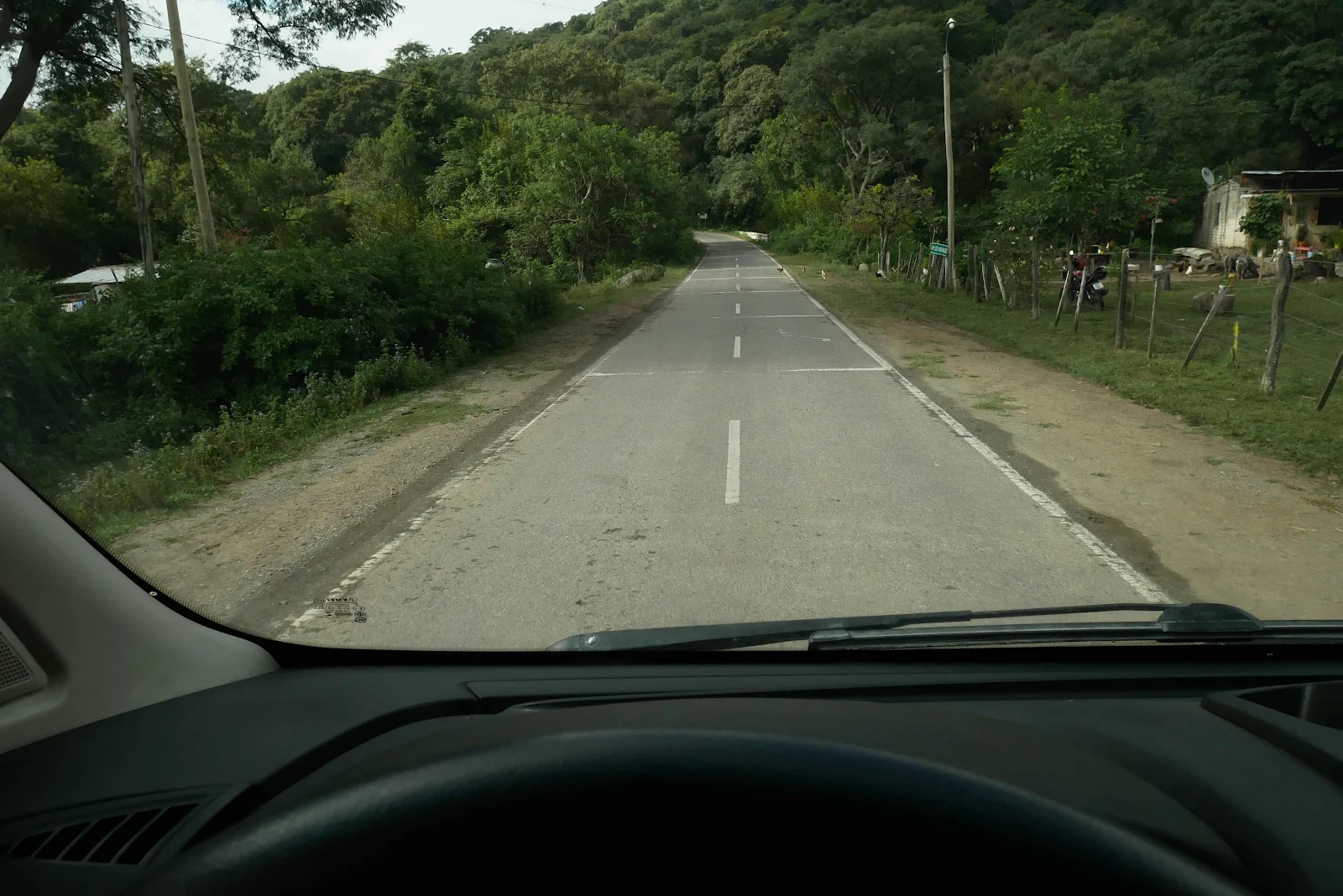
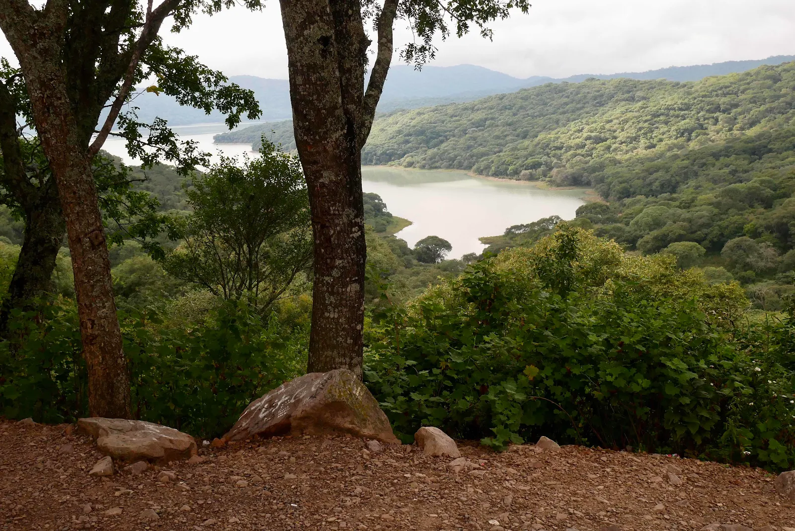
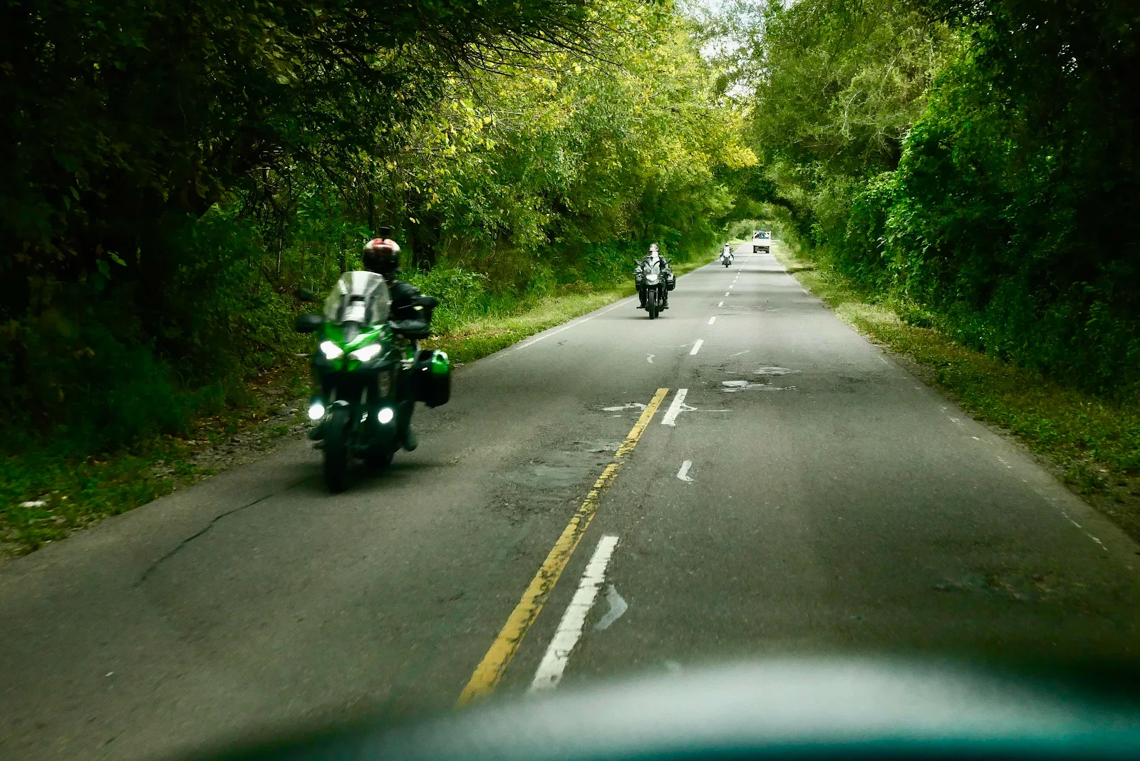
The farm and business traffic in pick ups came haring down the road but other tourists were as slow and cautious as us.
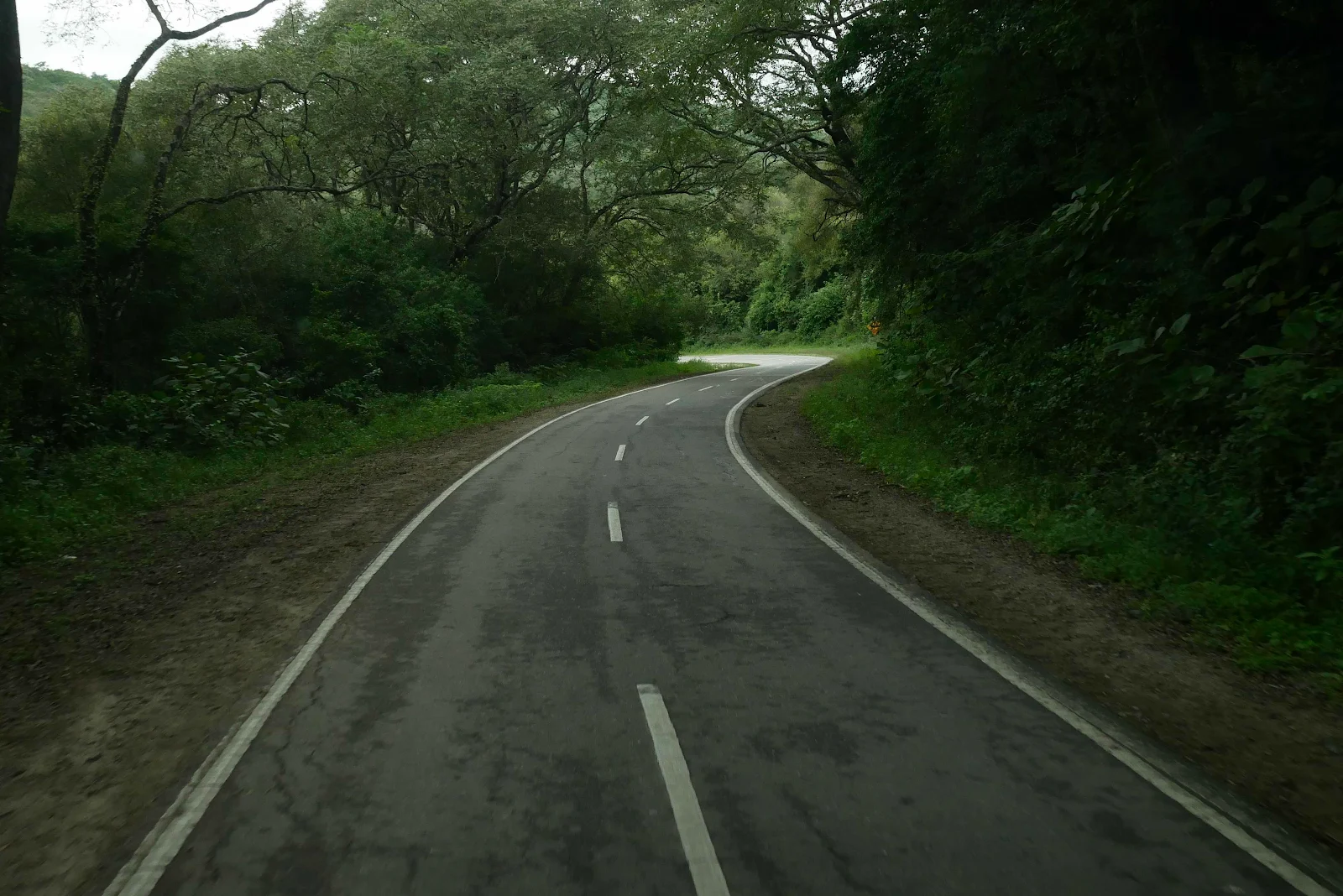
I tried to pull off and stop given a chance but the level of aggression was absurd for a scenic route.
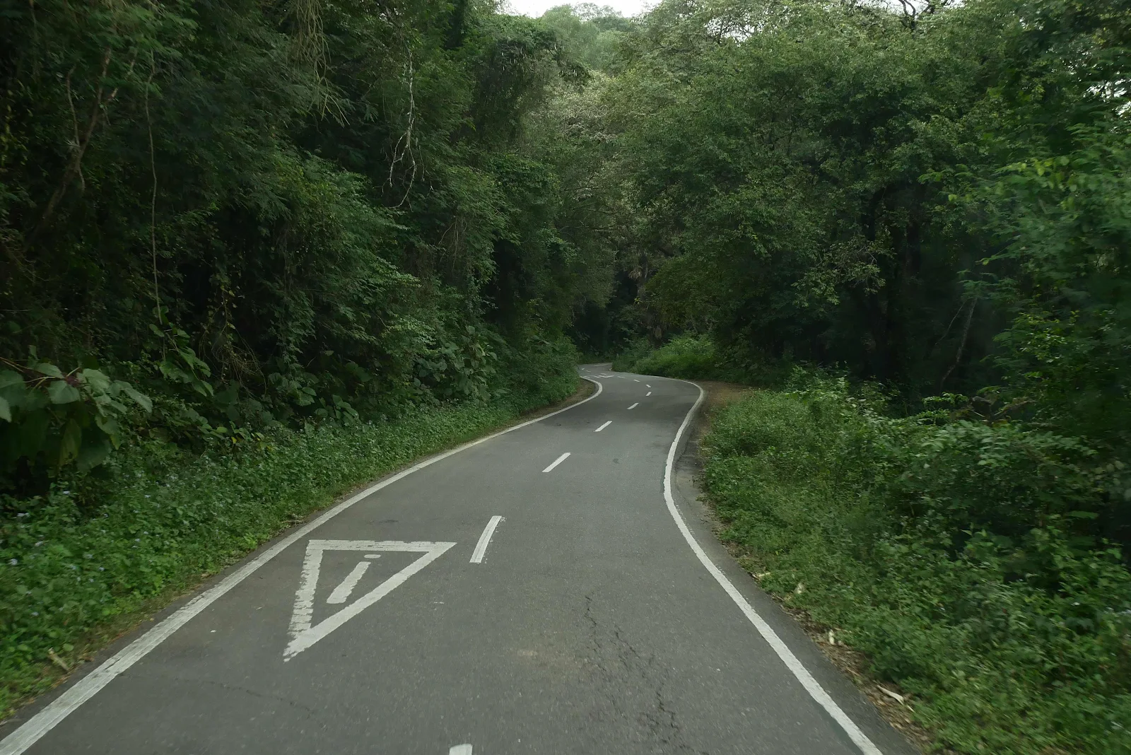
And luckily there wasn’t much traffic. One youthful idiot can’t do close I felt the wind off his car through Lyon window as he dashed past. I doubt there was two inches between us and I wondered if I was going to regret this.
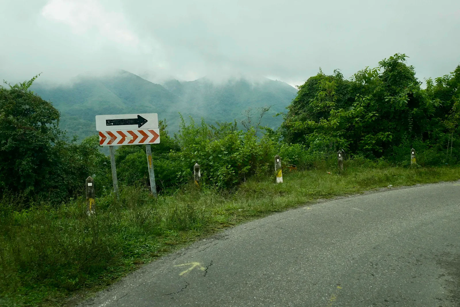
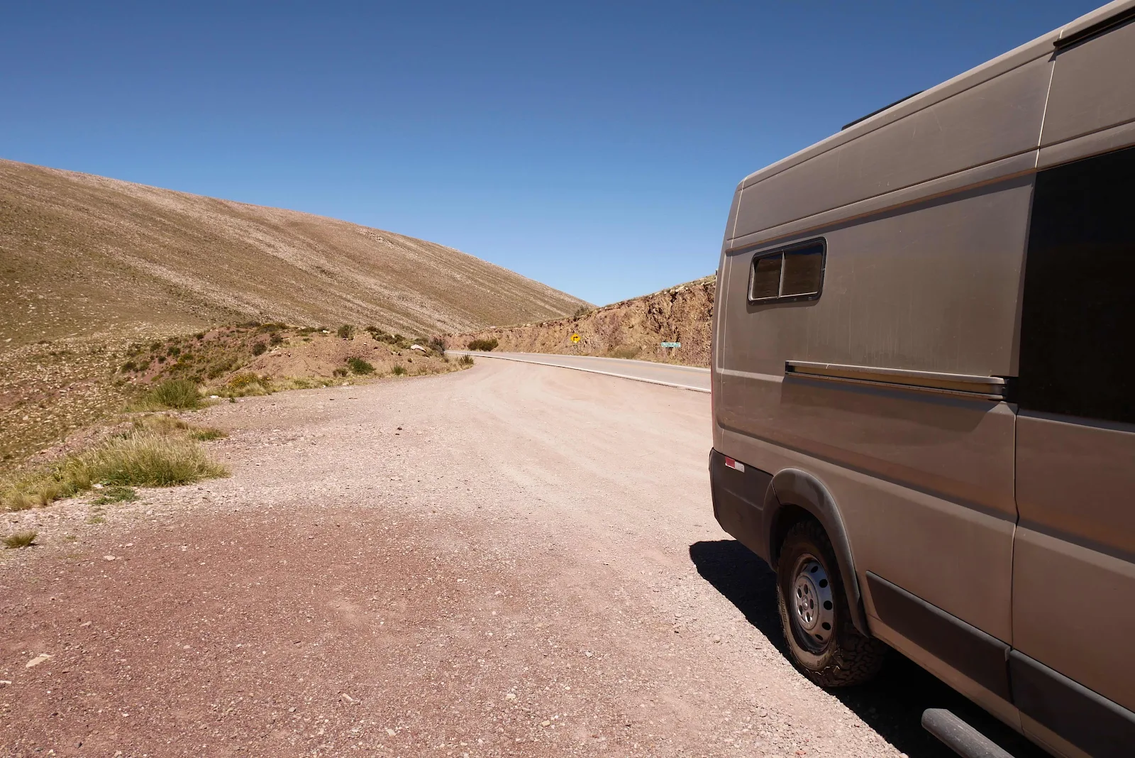
This van pulled off for us. How I got his picture I’m not sure.
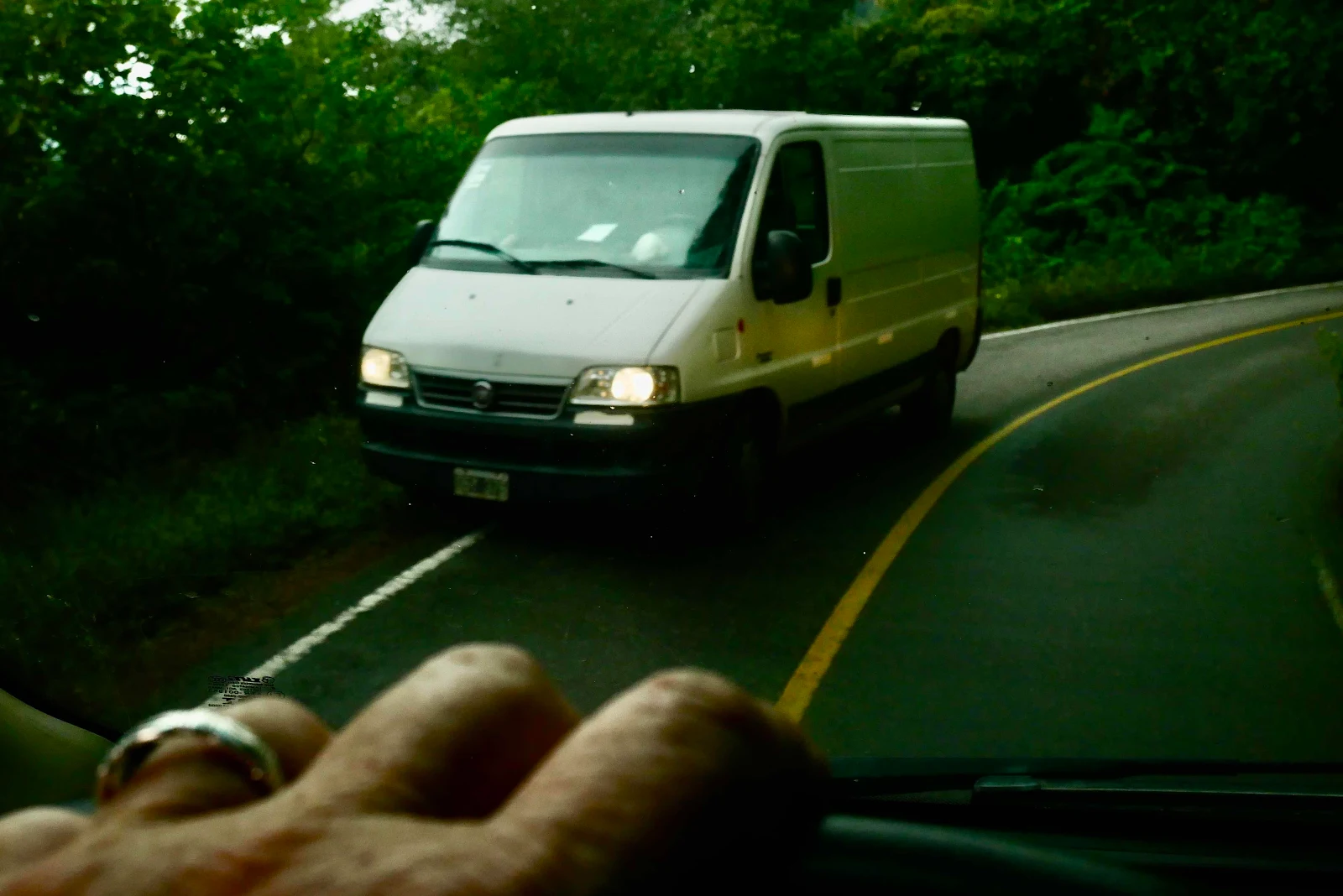
Without a view this looks like a toilet stop to me. Expect the amount of toilet paper on site to increase. Burying it is an unknown skill in these parts. Sigh.
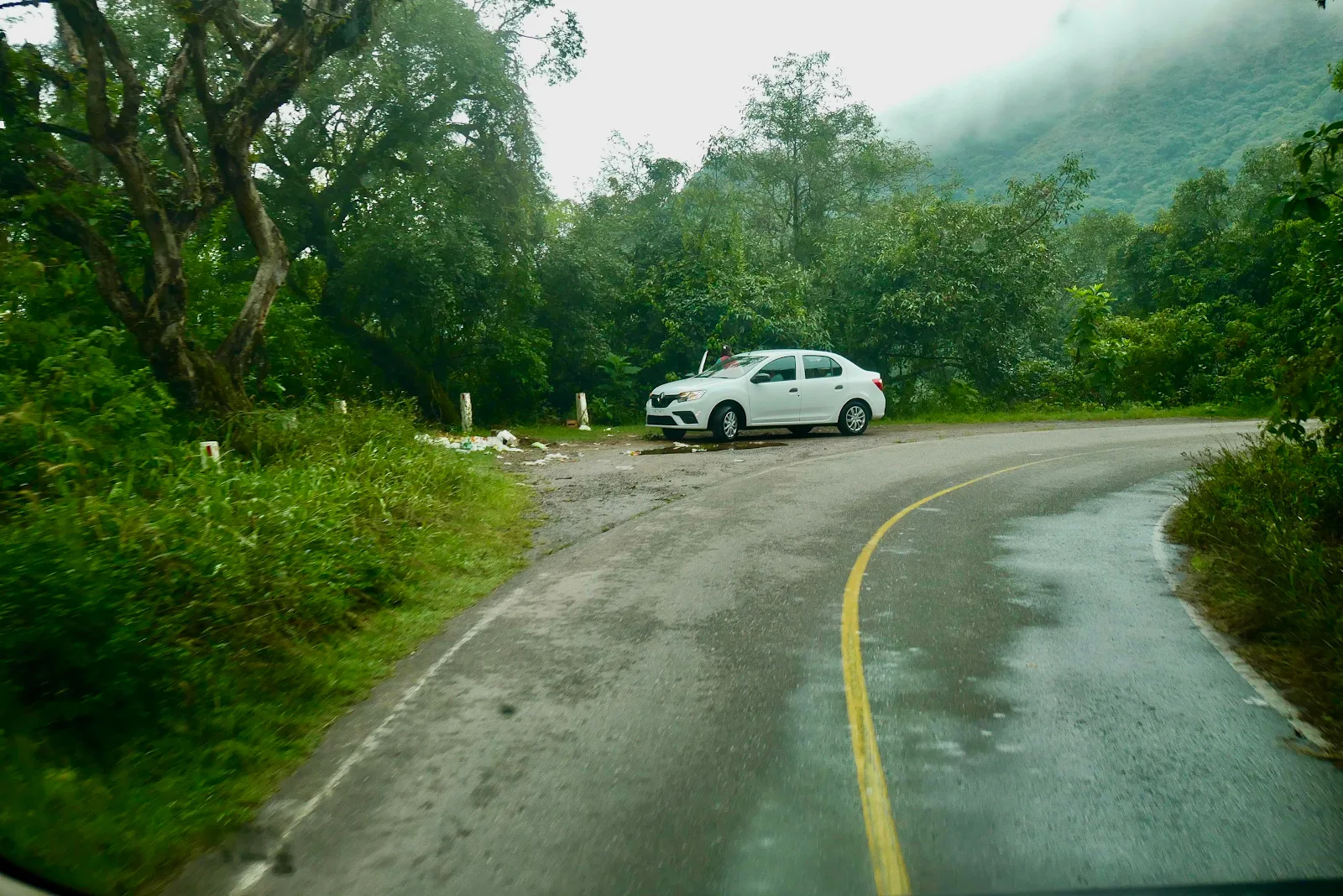
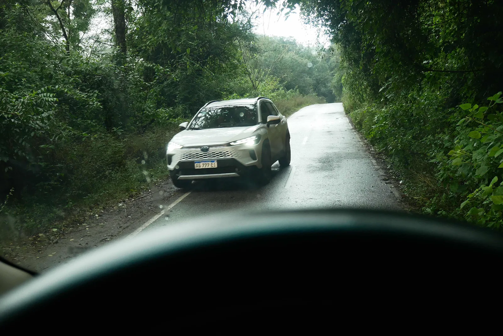
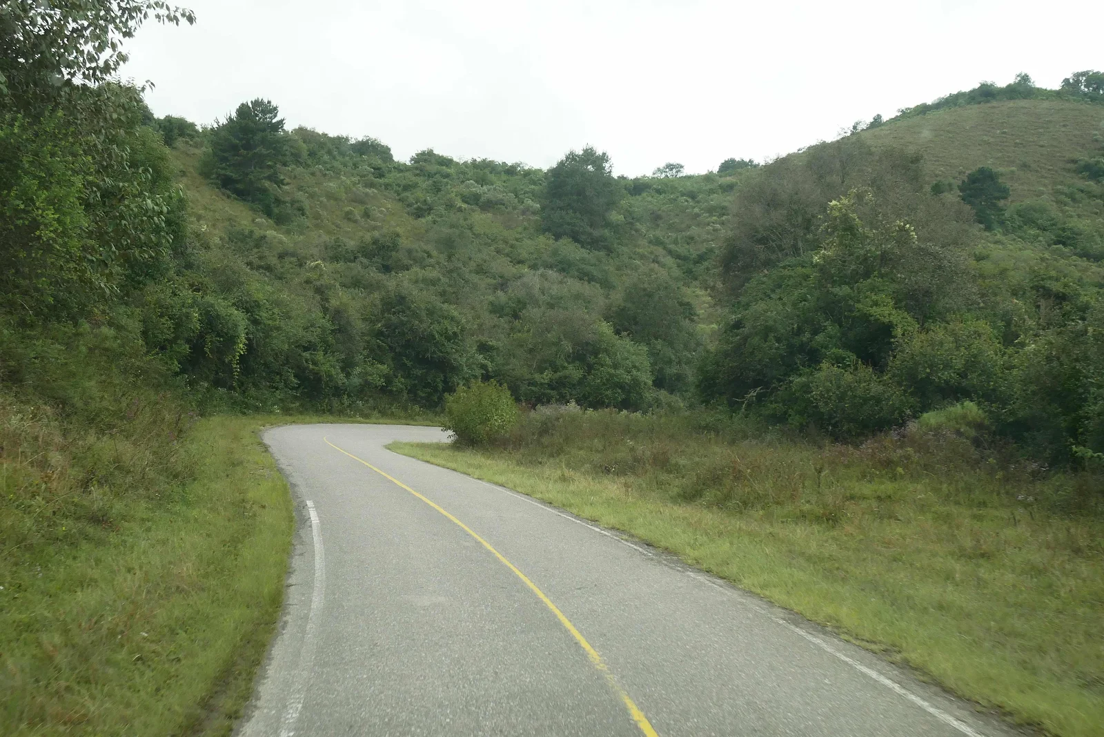
Then we came out into the Salta side, more pasture less rainforest and more signs of life.
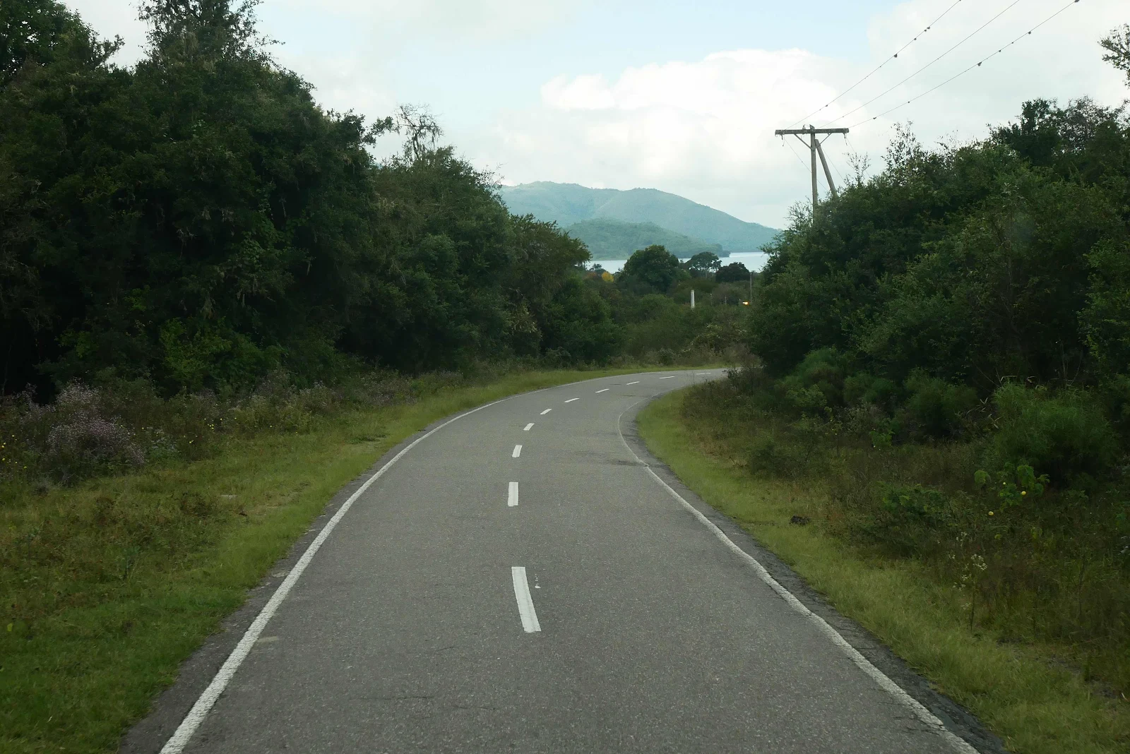
The road was only 30 miles long but it took 90 minutes to drive.
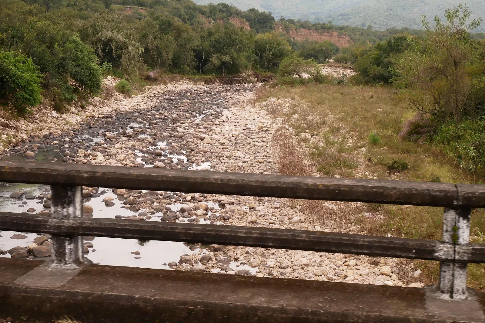

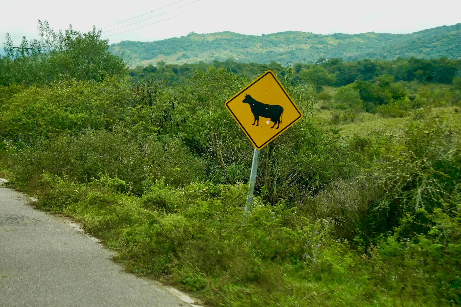
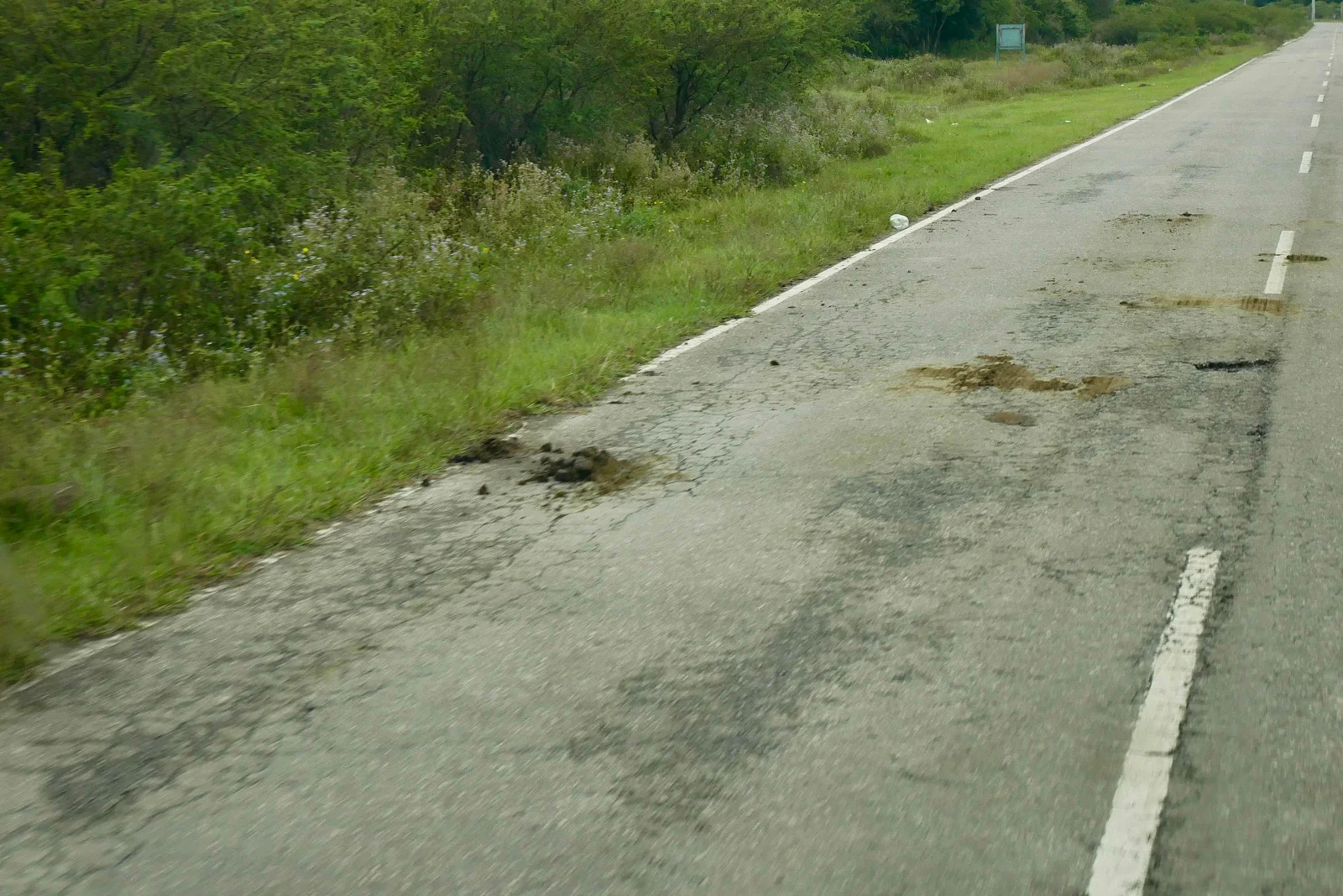
There was plenty of evidence of cows and horses here without the warning signs.
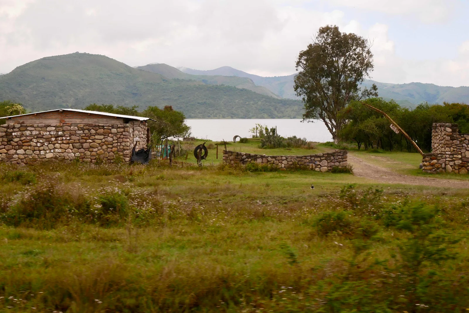
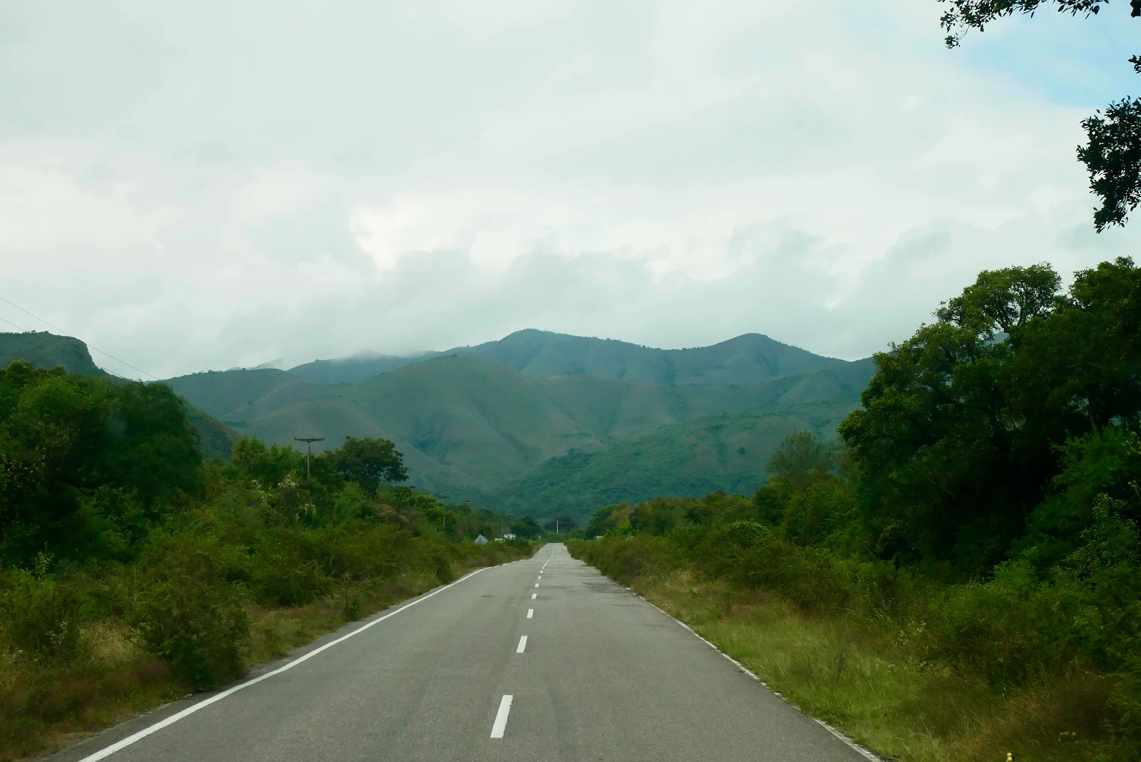
I enjoyed the drive and it was wiggly as you can see. It was 140 miles to our destination of Cafayate. We use miles and feet aboard GANNET2.
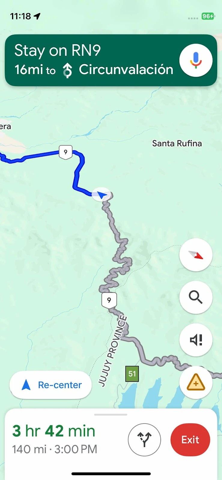
We got back to civilization at the bypass (circunvalación) around the city of Salta. Meanwhile we got some bad news from Paraguay. Our Seattle friends Julia and Konstantin had been getting ready to cross into Bolivia without us after our visa fiasco but they reported they too couldn’t get in to Bolivia.
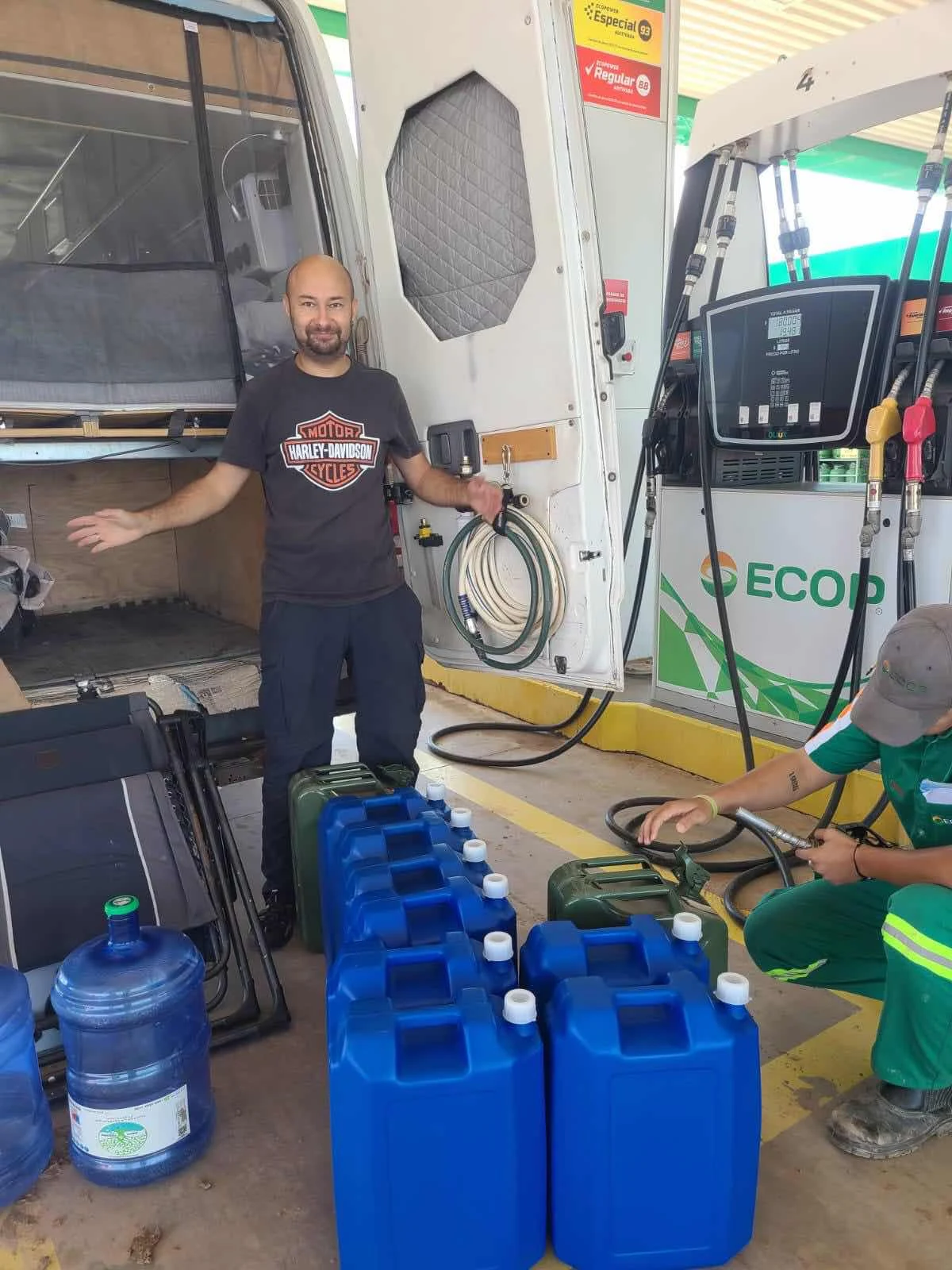
They spent $320 to get their Bolivian visa in Cusco Perú last June but after seeing the chaos in the country they decided to go to Chile instead. Yesterday the Bolivian border guard said the five year visa had to be used for the first time within 6 months of issue and they missed the deadline. They tried to argue this secret new rule with the border guard but it was no dice. Now they have 12 extra jugs of fuel which they bought in Paraguay to carry them as far as possible through fuel starved Bolivia…We’re hoping to meet them in Chile next week.
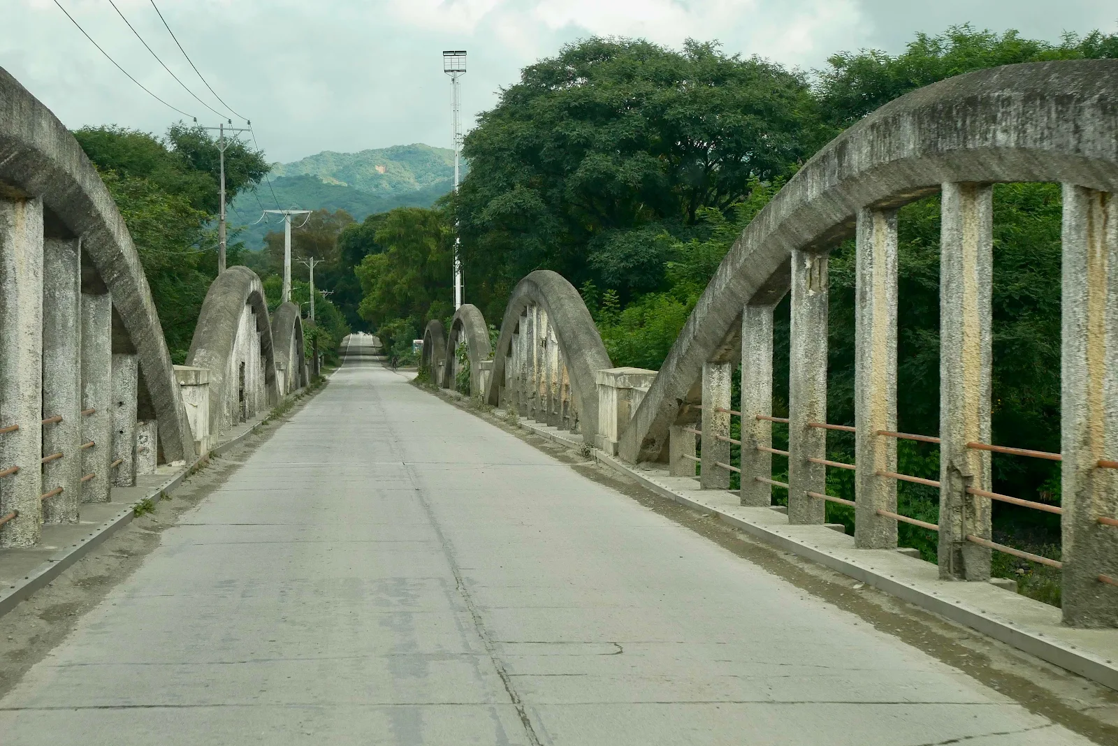
Then for a while we got on the very civilized freeway south from Salta and 60 mph was possible.

Pretty soon Google Maps was sending us through impenetrable twists and turns to get us into the Highway 68 to Cafayate two and a half hours away, through lovely countryside.
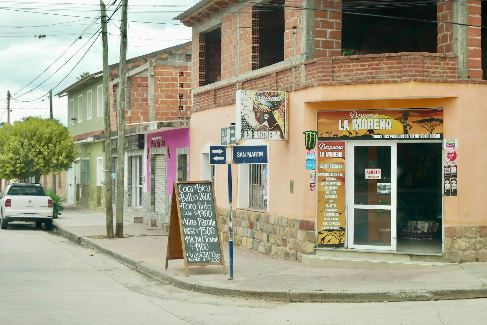
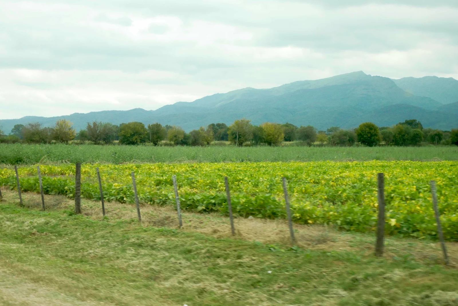
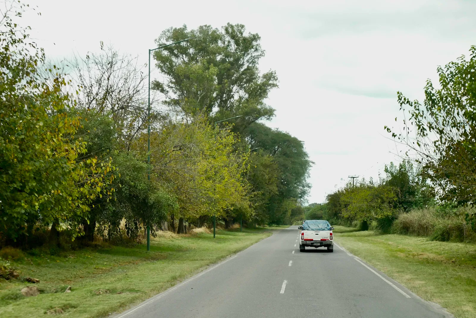
Signs of Fall and yellowing leaves are everywhere.
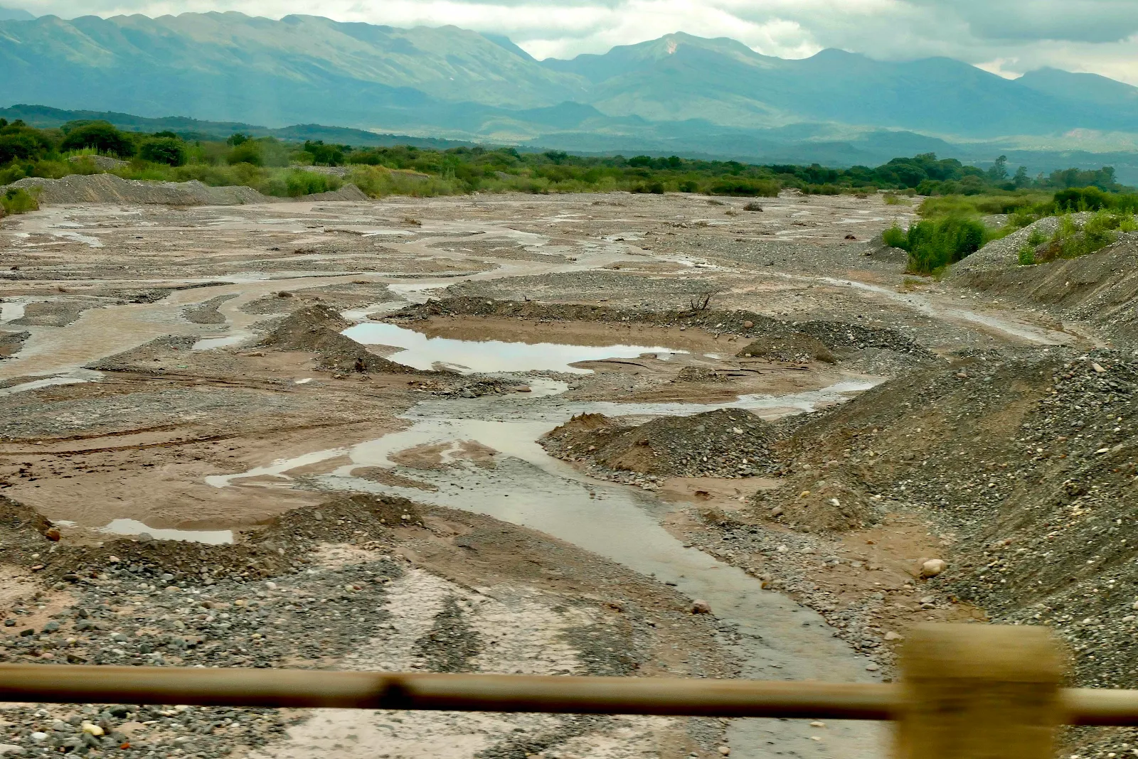
Then the rains will fill the river beds.
Layne made lunch sandwiches, ham and Brie on mustard and we paused for a while.
Layne got into the bed to nap and Rusty and I drove on toward Cafayate.
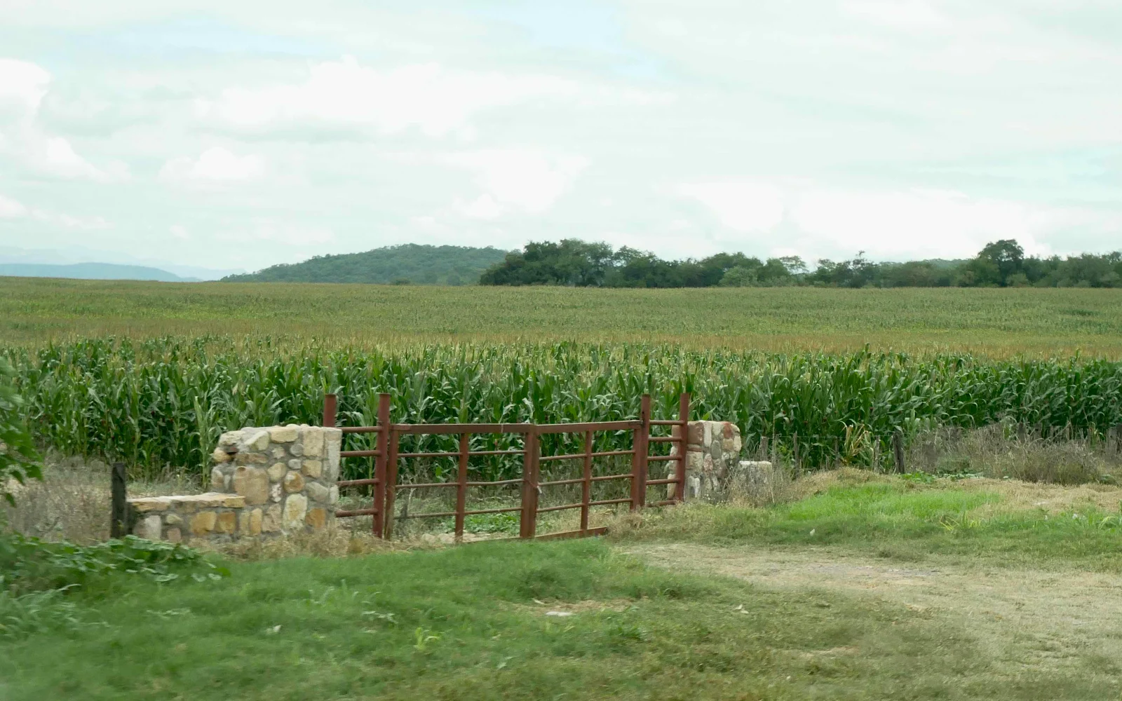
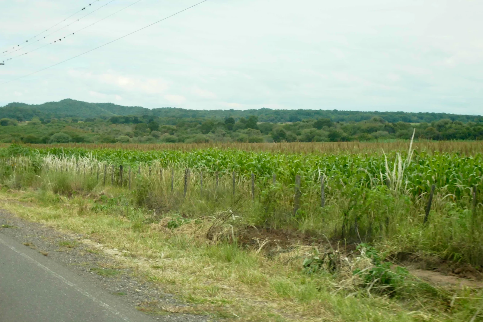
Corn fields. Just like Iowa.
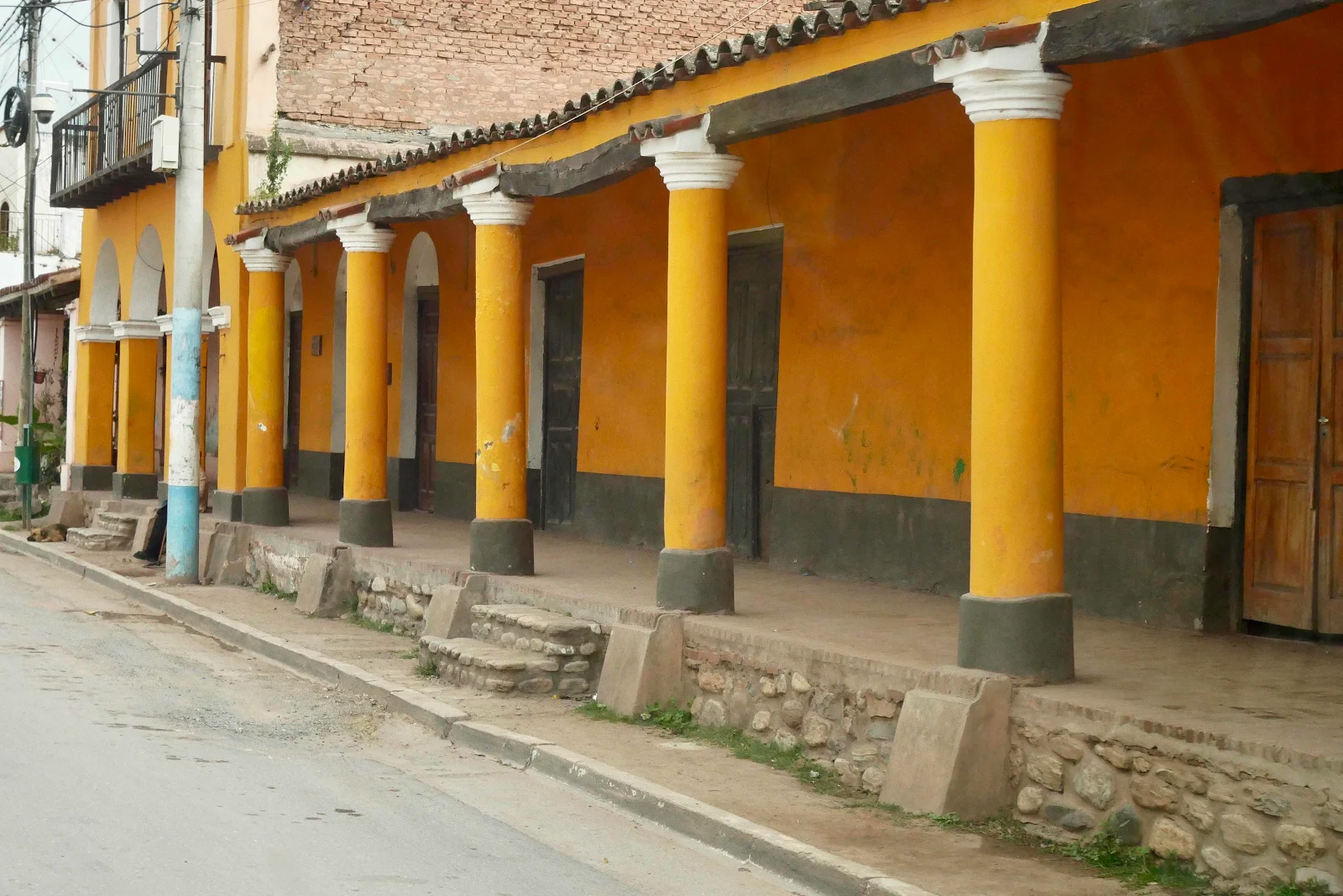
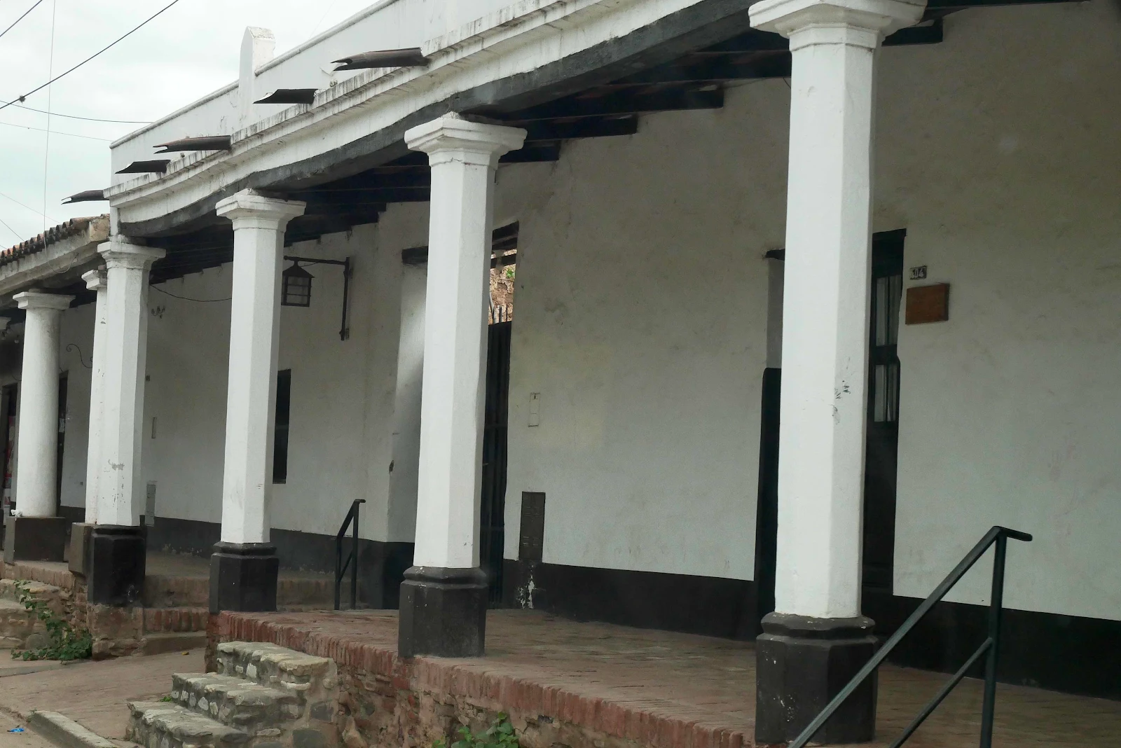
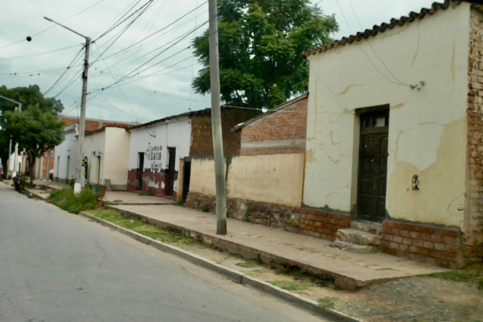
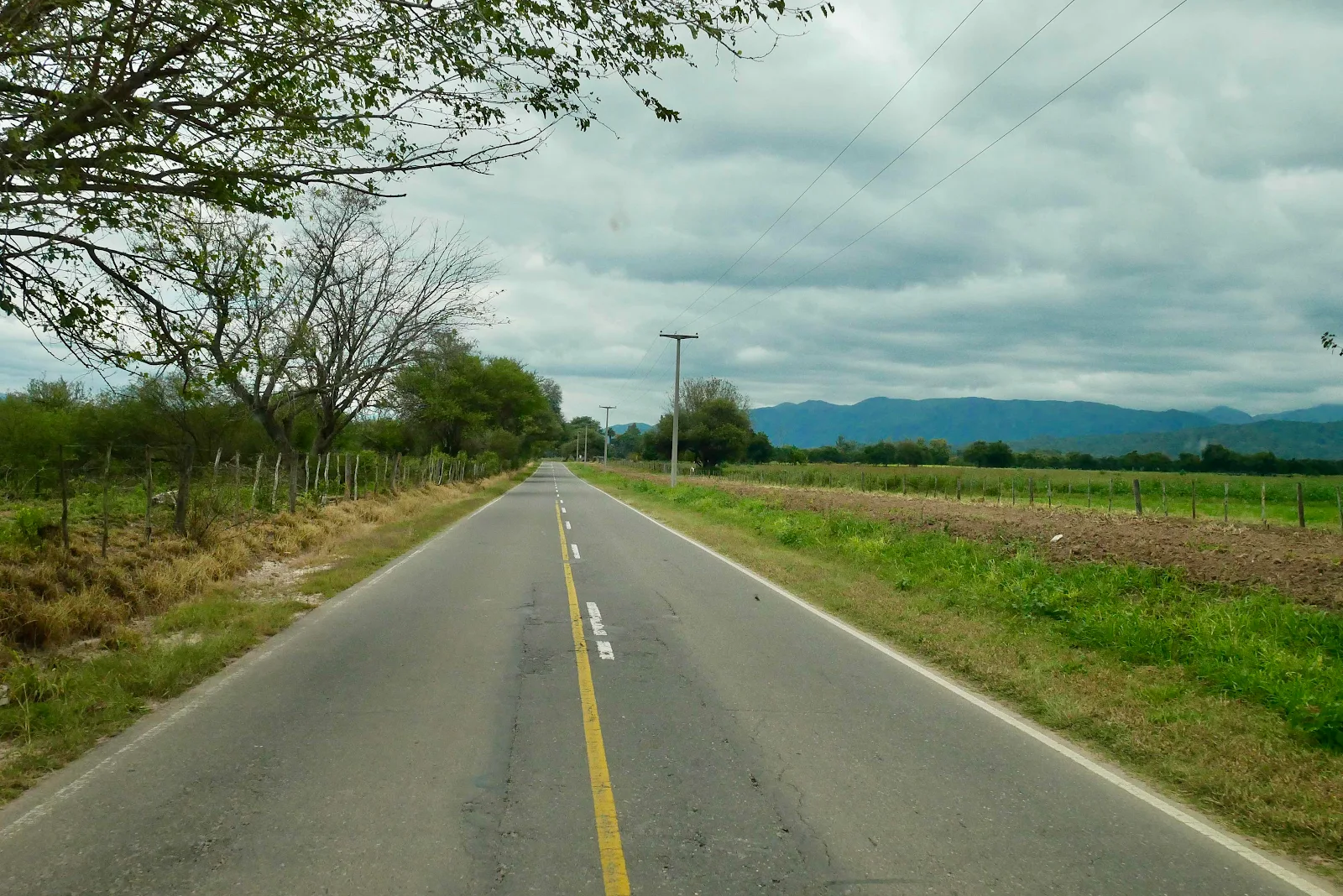
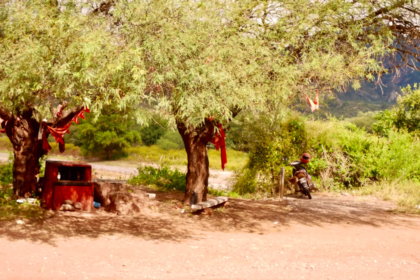
A popular roadside shrine dedicated to Gauchito Gil.
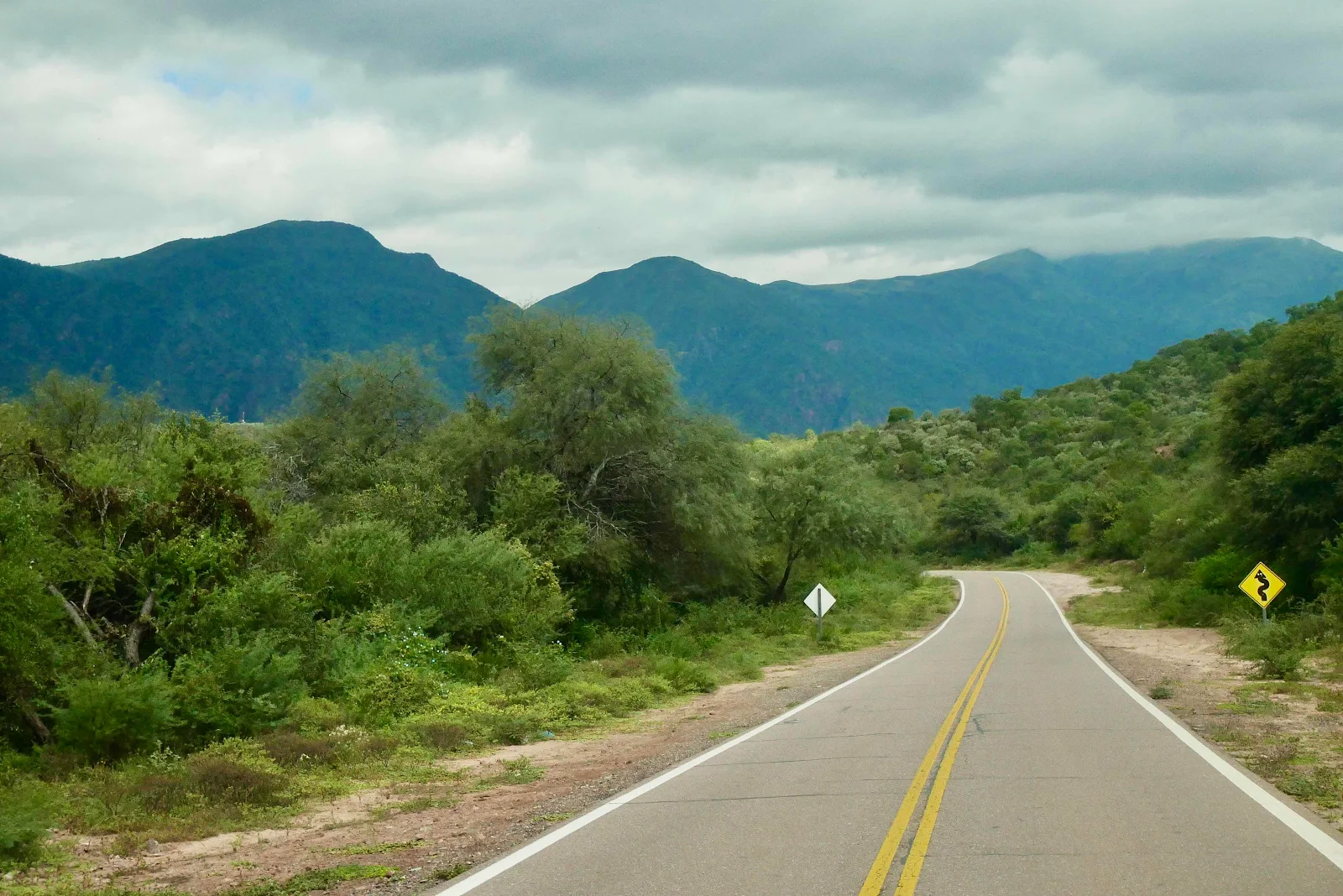
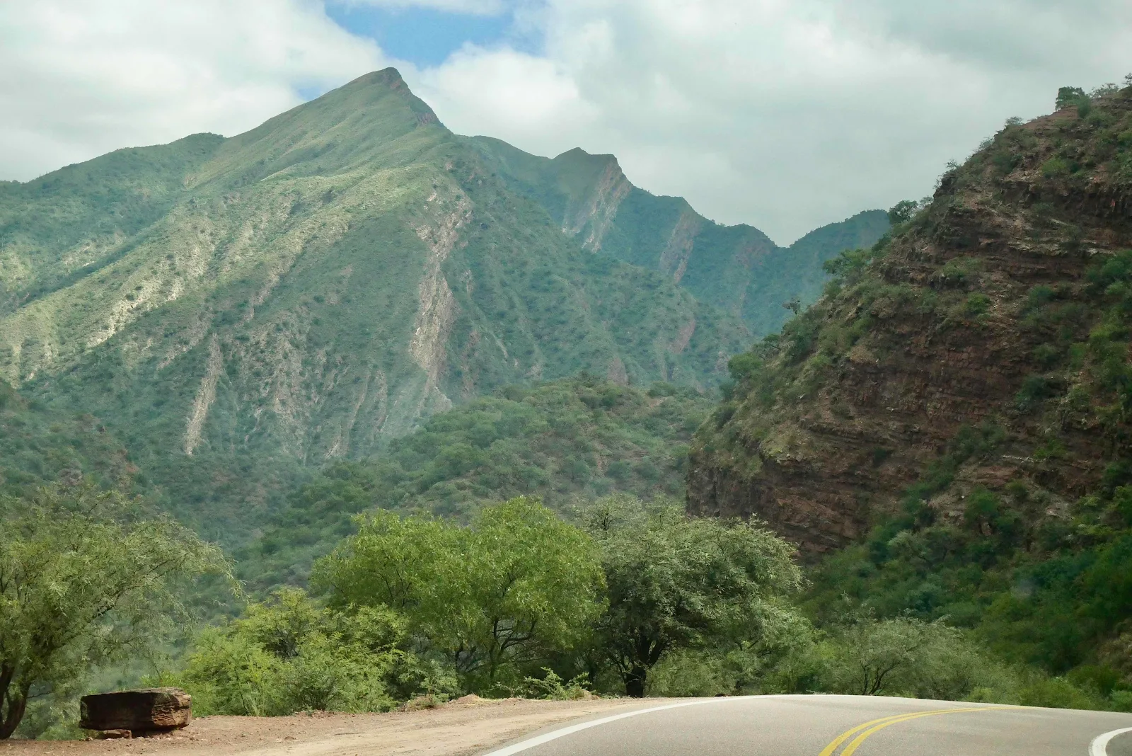
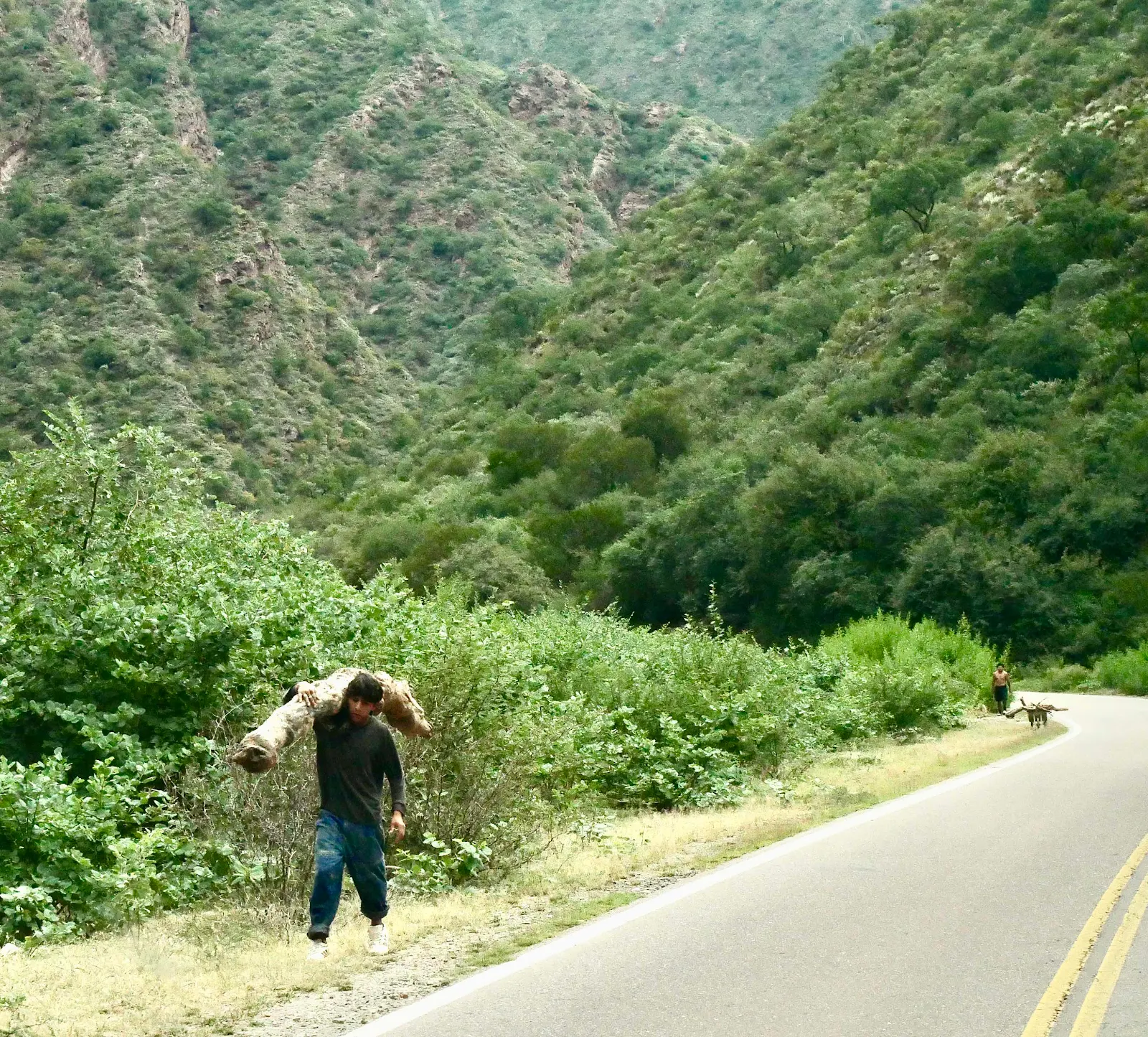
We entered the scenic part of Highway 68 and Layne was still asleep. I called her but she didn’t wake up so I stopped and took Rusty for a walk. She’d told me to wake her to see the Quebrada de las Conchas, the ravine of the shells.
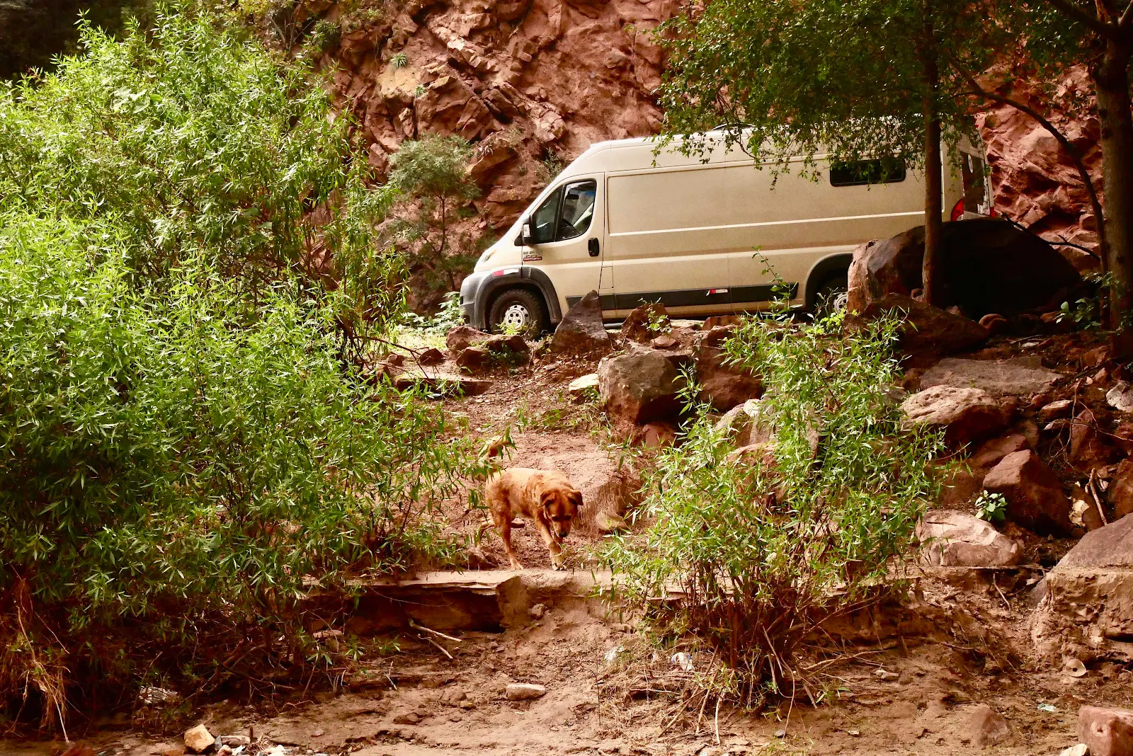
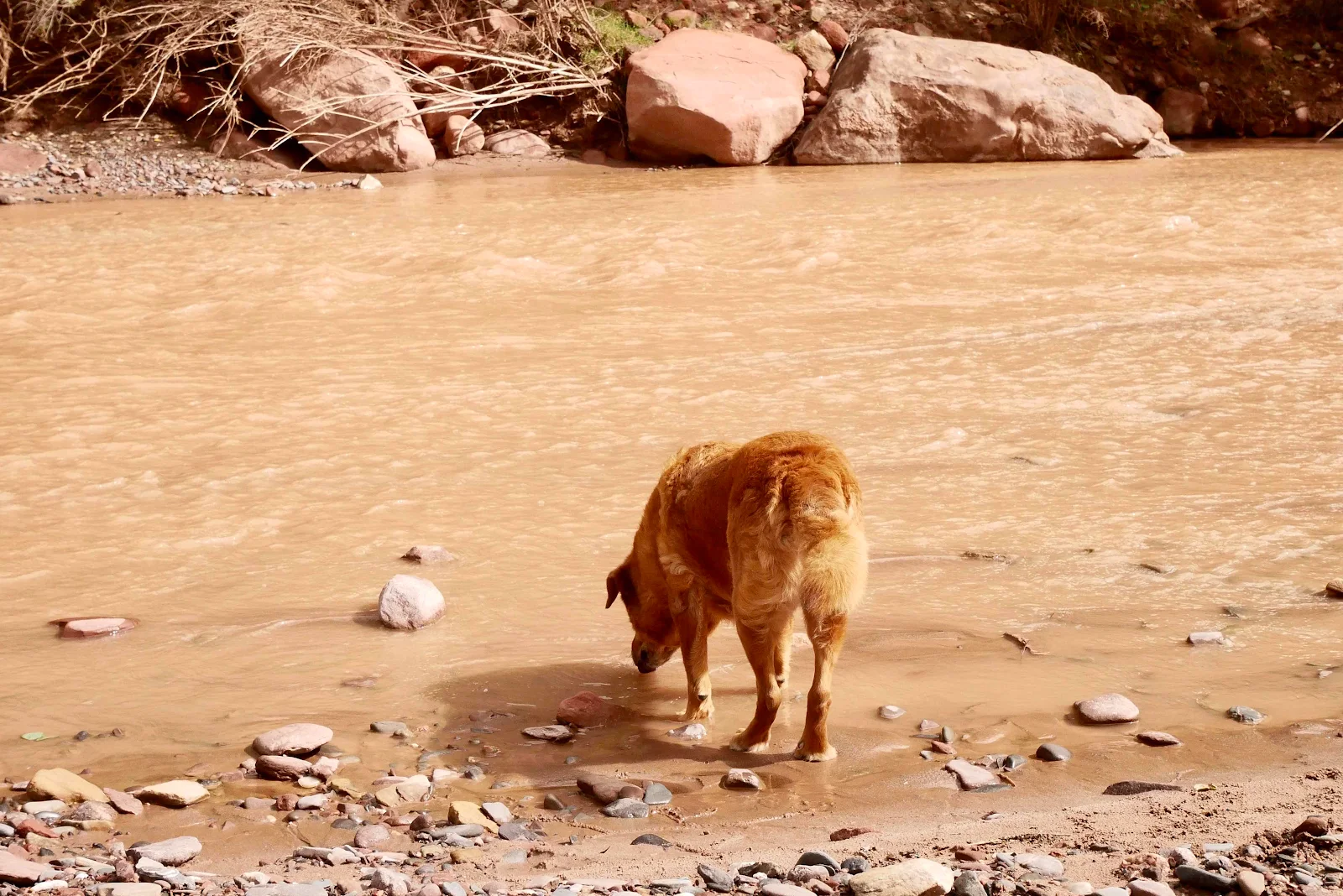
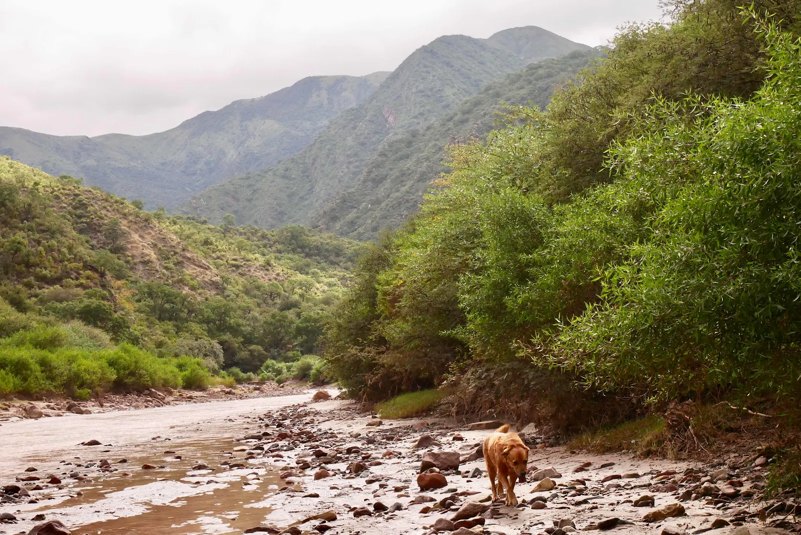
We walked till she woke up.
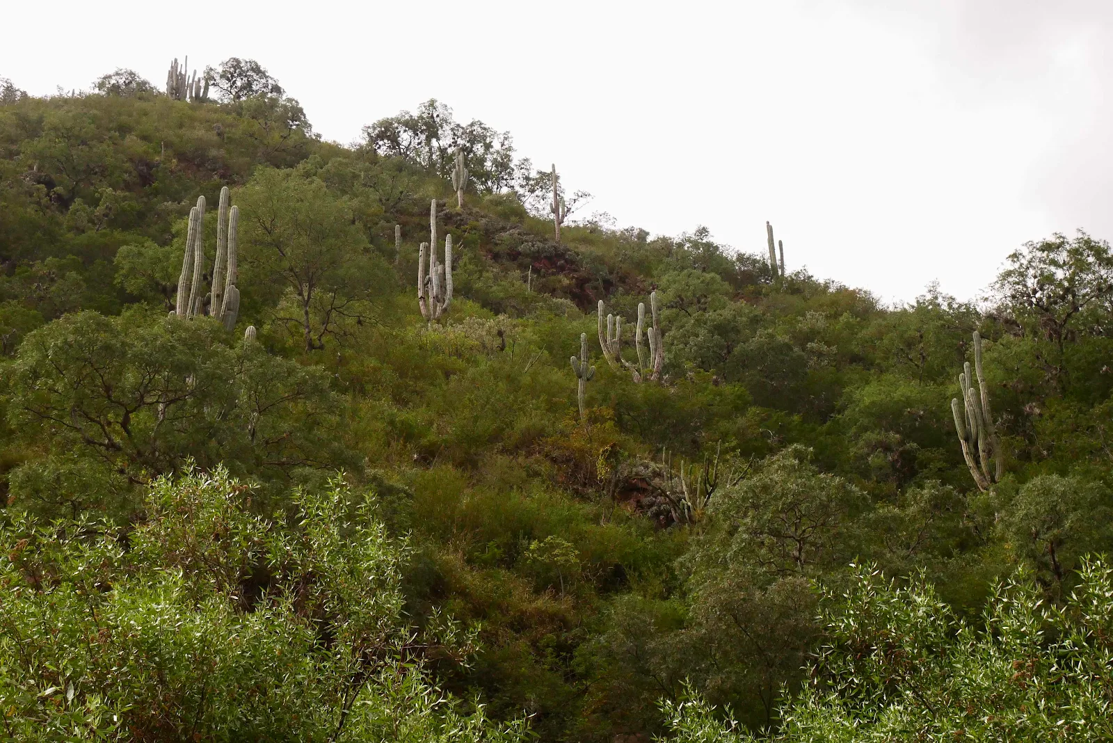
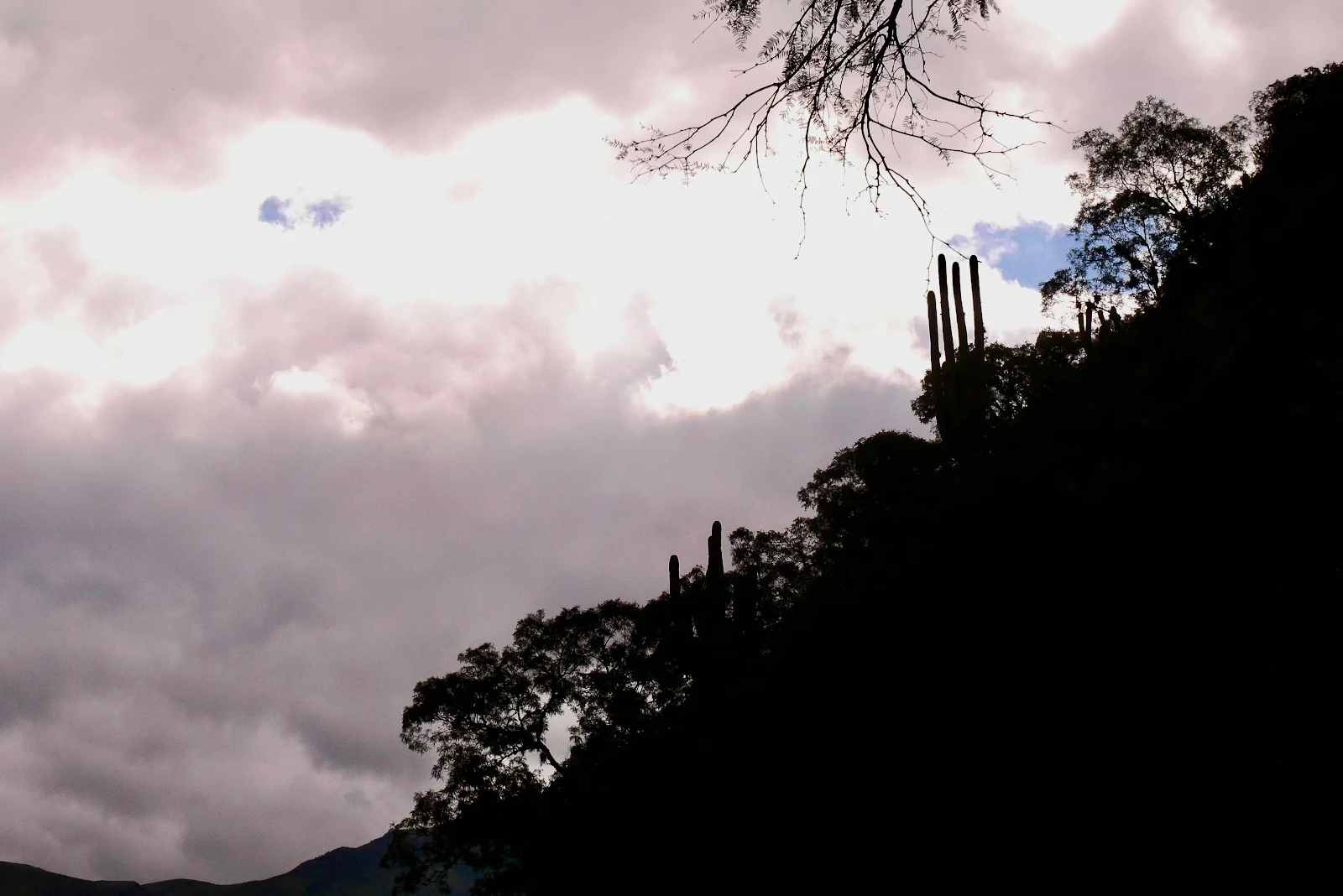
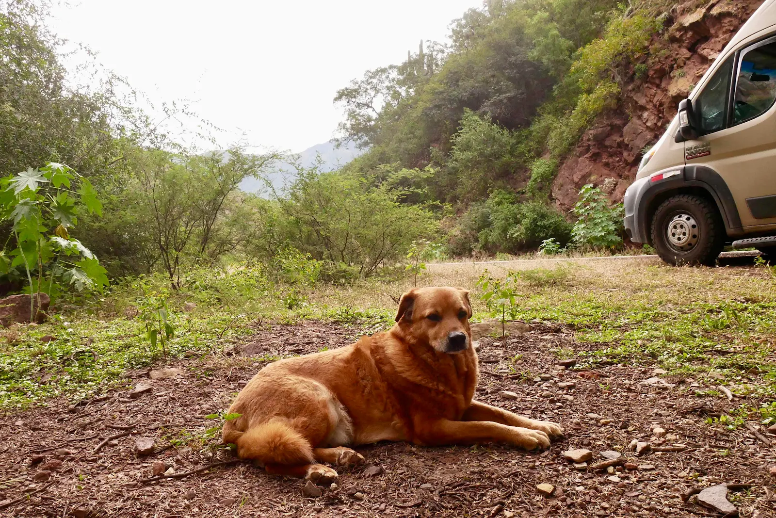
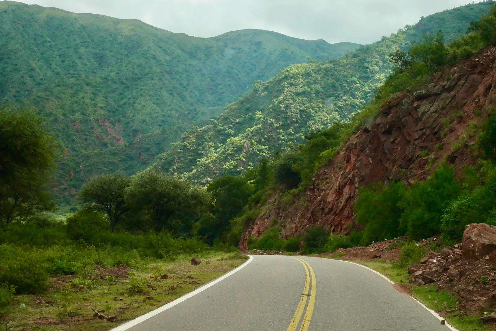
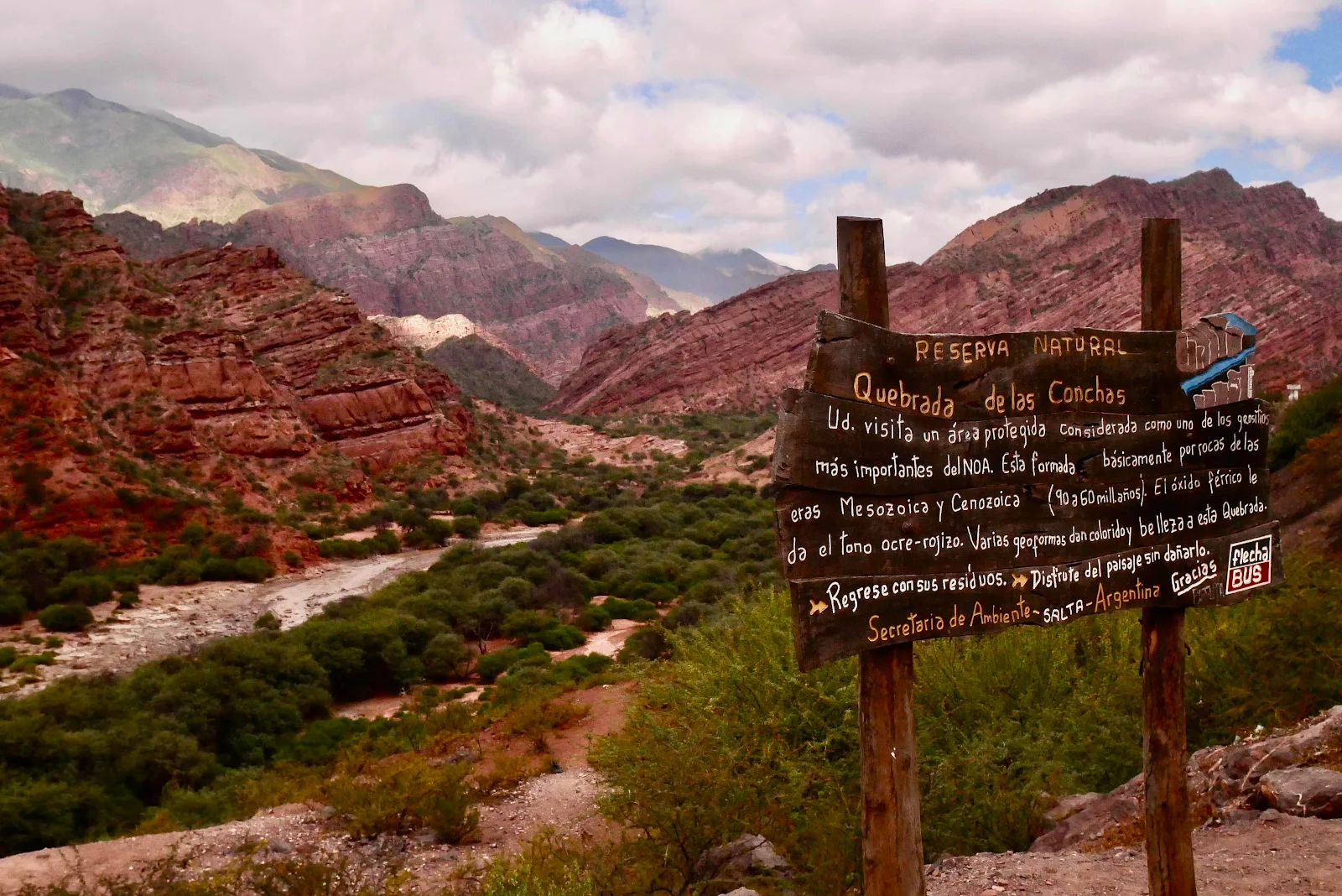
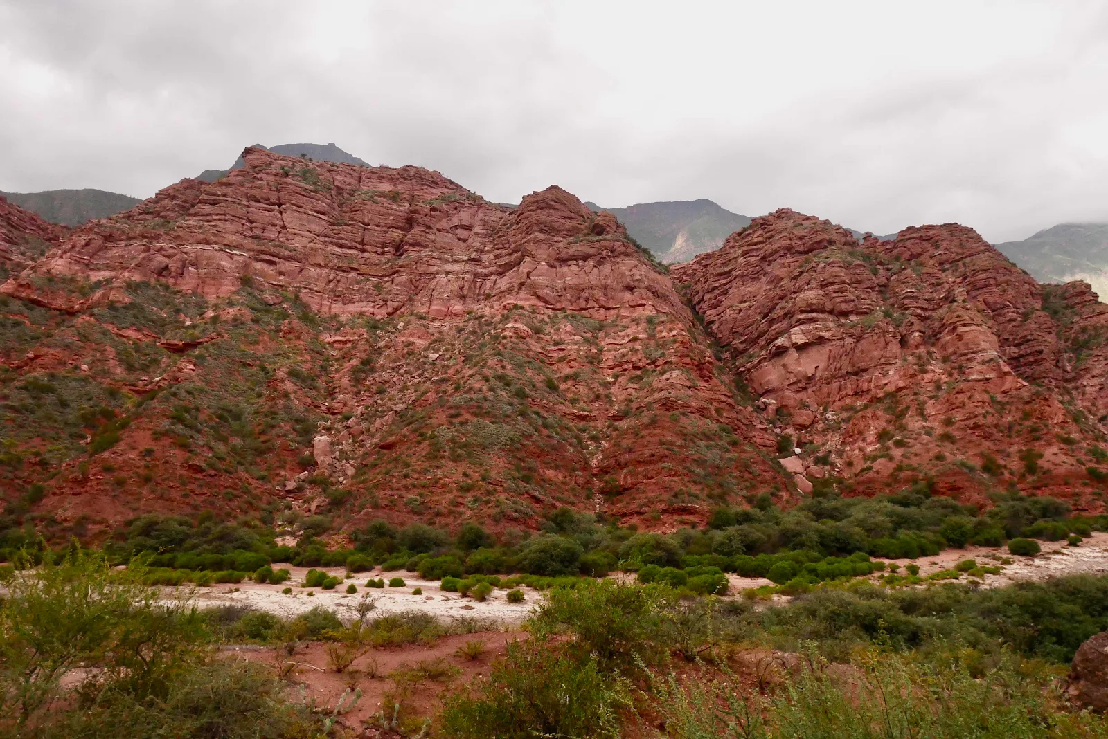
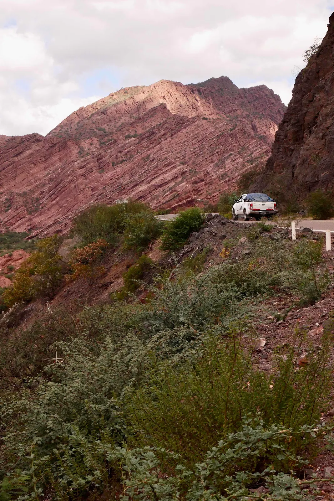
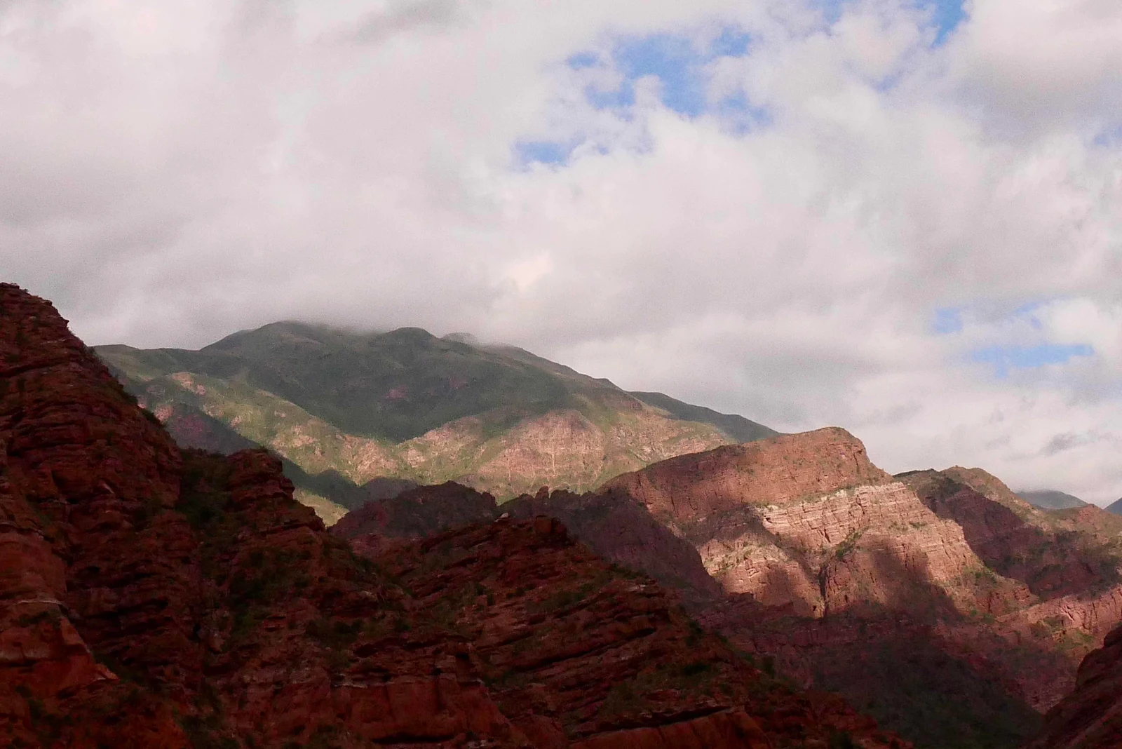
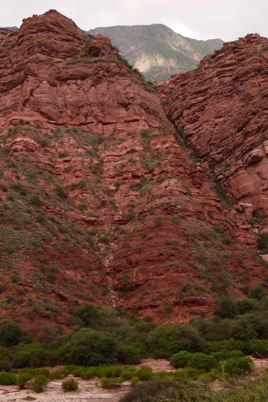
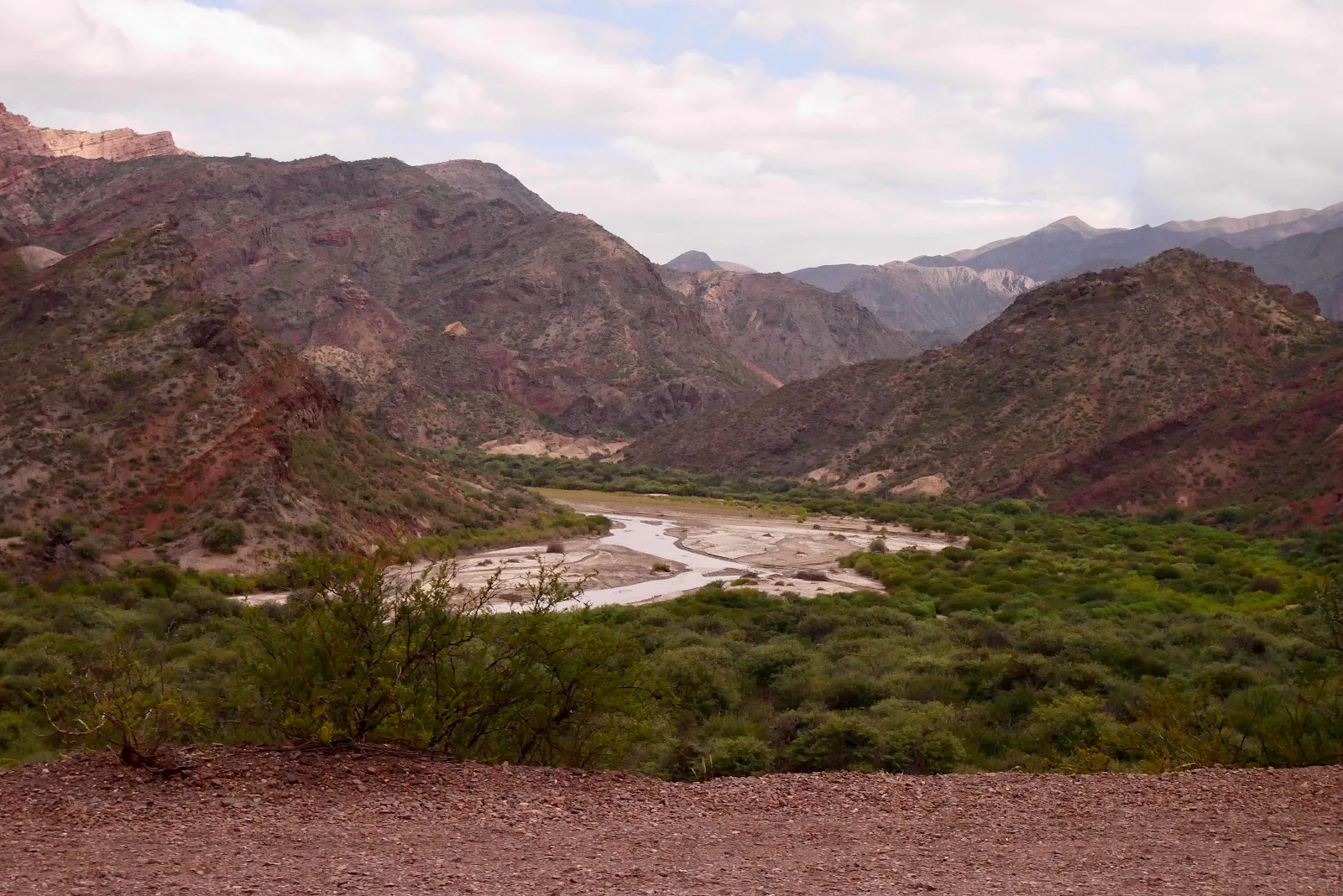
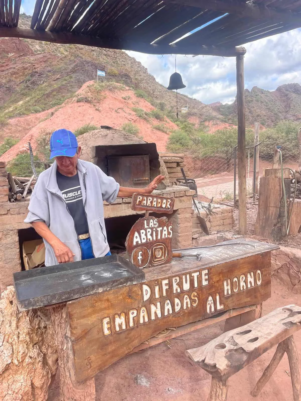
Ooh. An empanada shop. Stop!
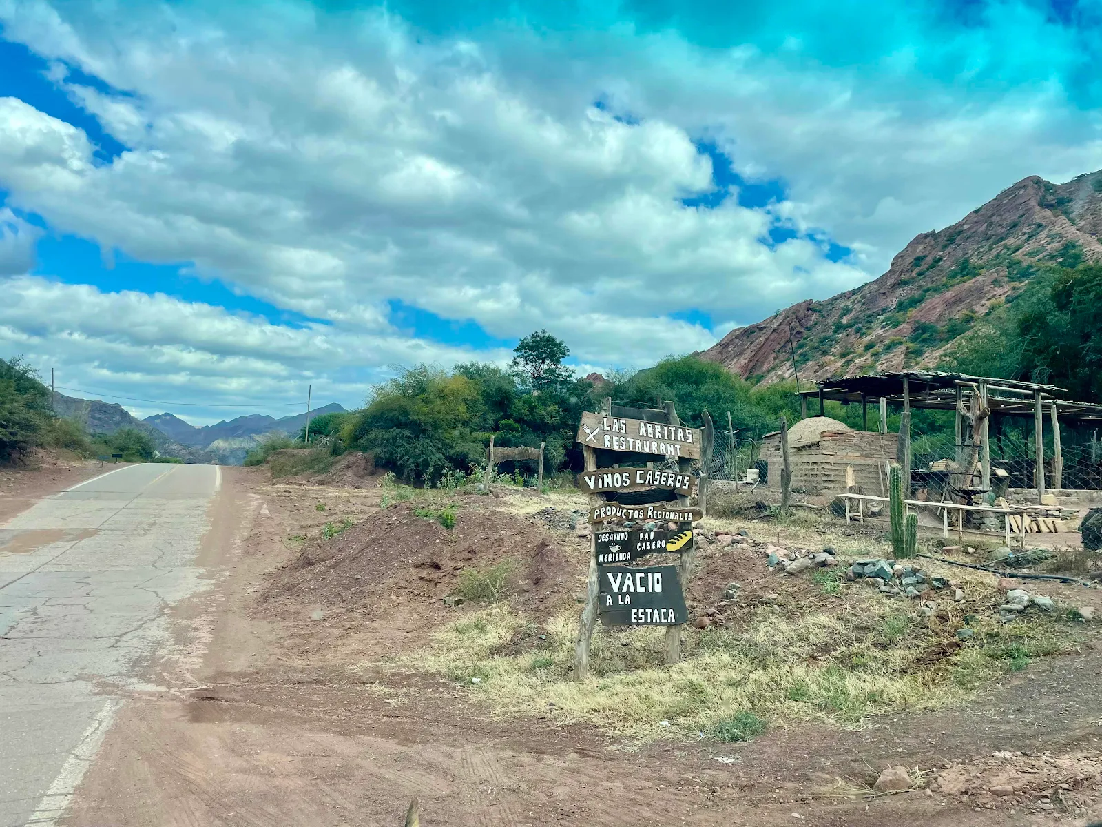
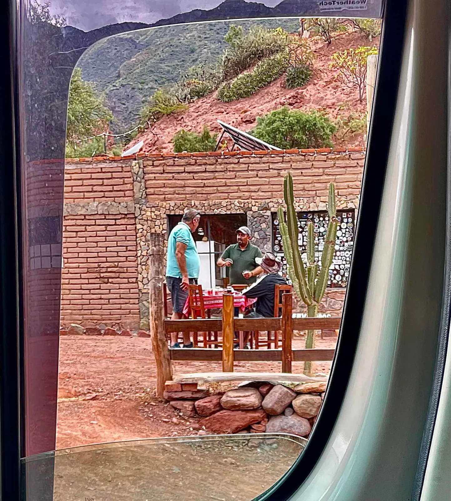
I listened to the guy in dark green tell his buddies his 22 year old daughter has become a social worker and has a job at the Salta jail. He sounded proud of his little girl. It’s a good thing to remember, people are people everywhere.
This dude made our empanadas under Layne’s watchful camera.
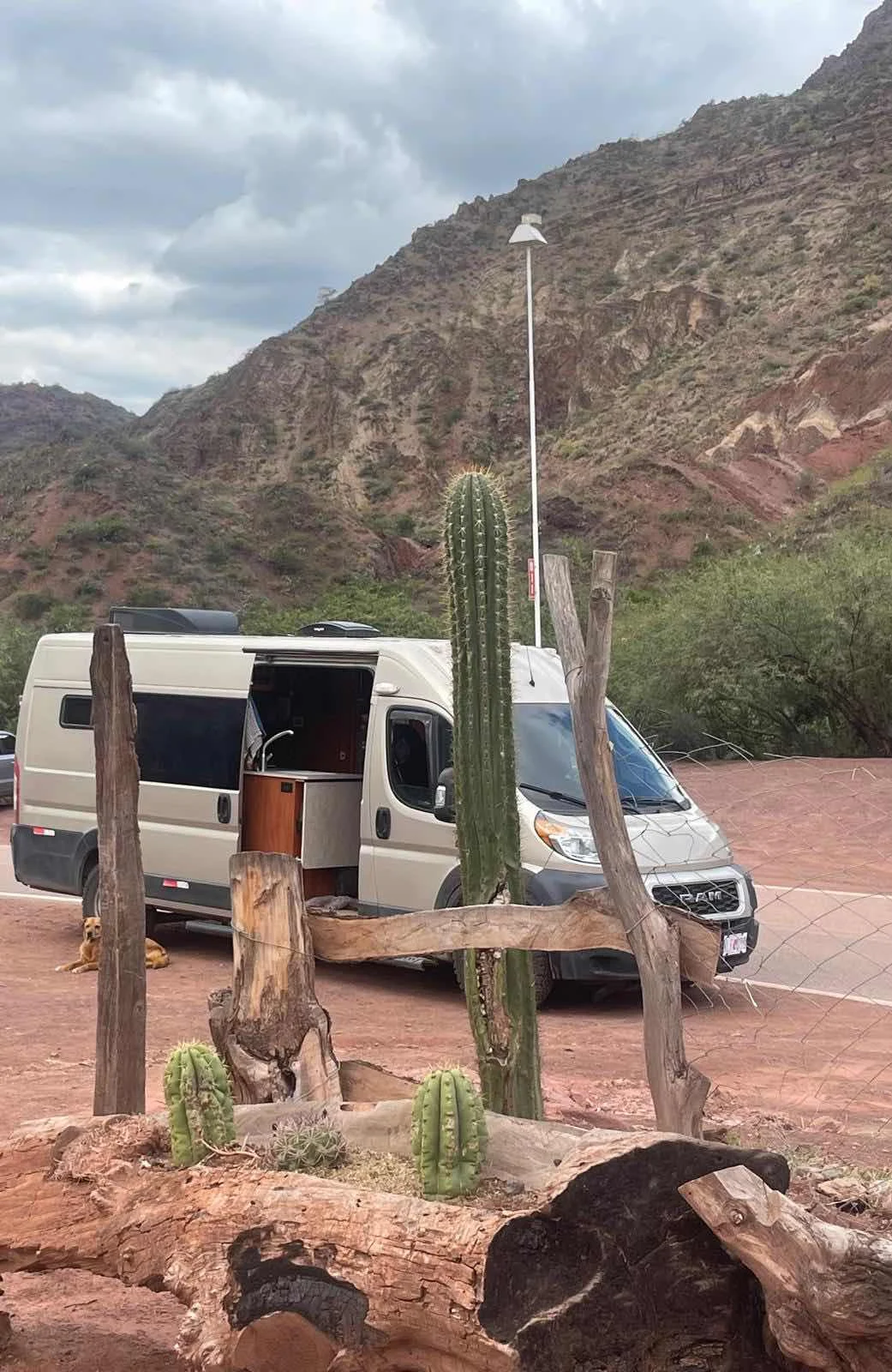
I was taking a break inside while Rusty was guarding us outside.
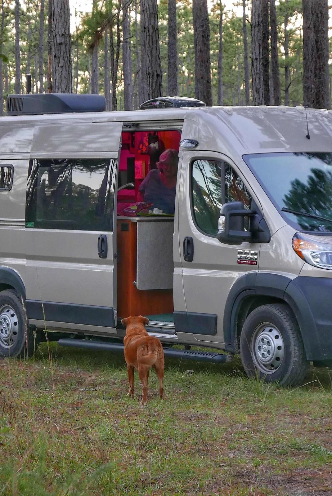
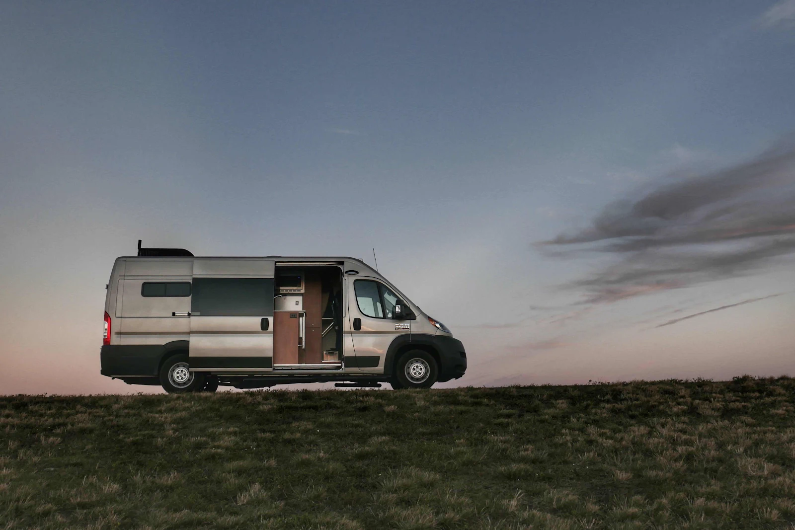
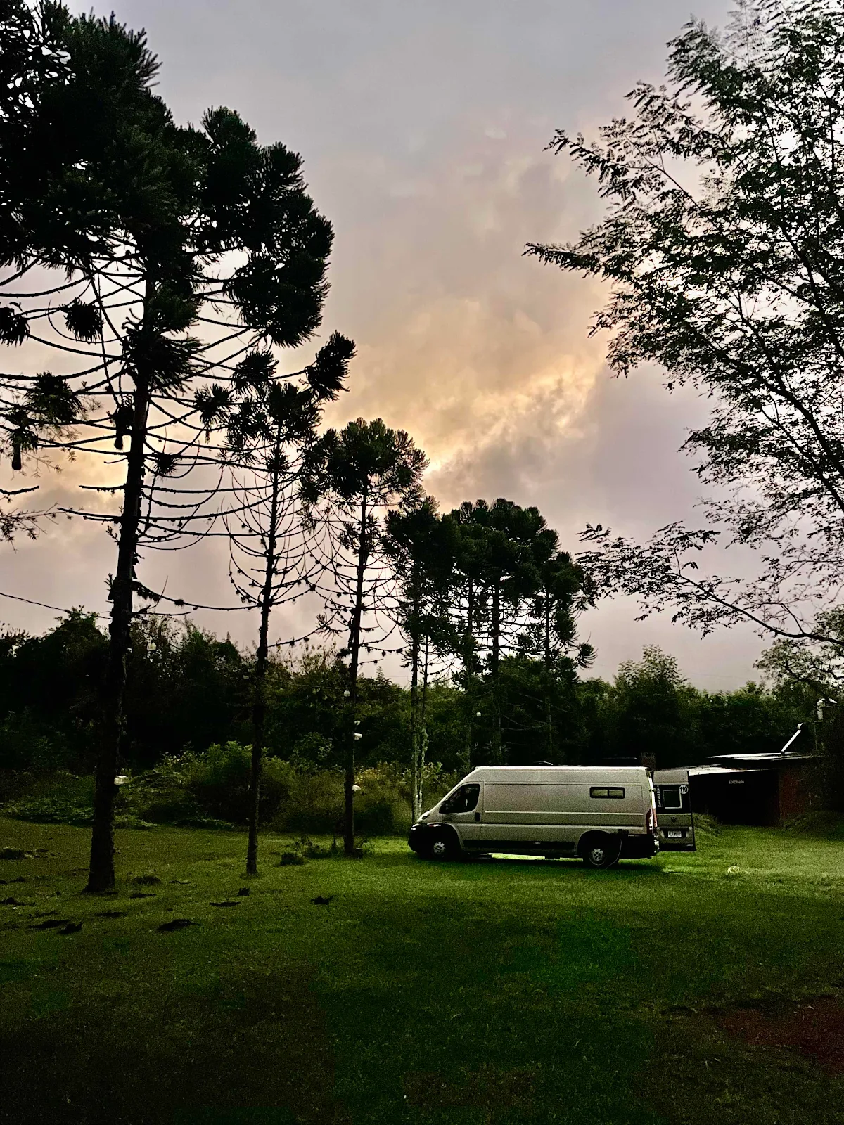
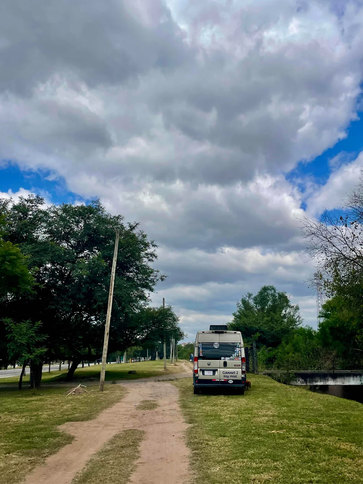
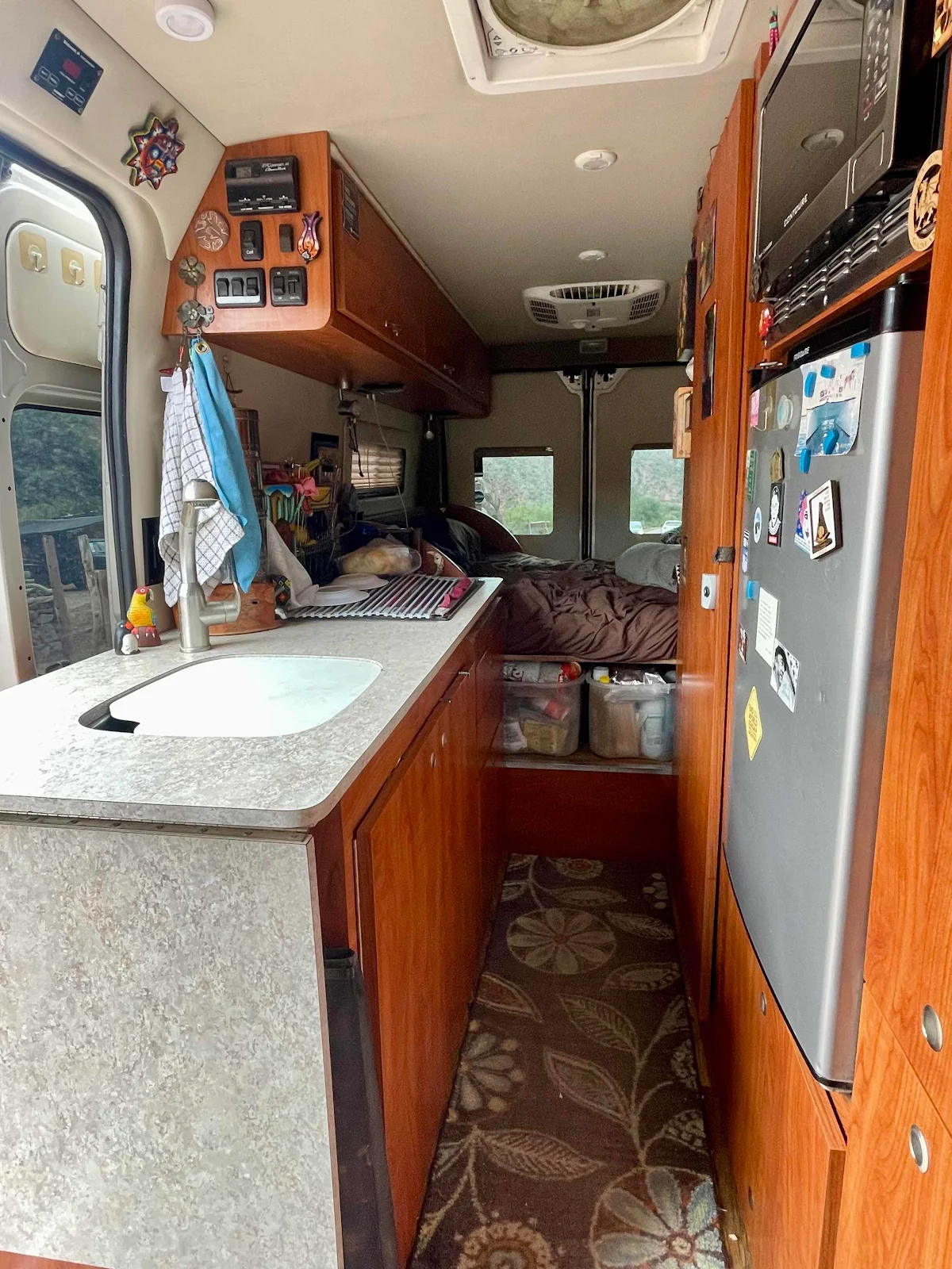
Our home. All electric, comfortable and where I’m glad to end the day. In this case an hour short of Cafayate.
Our wild camp for the night. Down by the river. Like a stereotype.
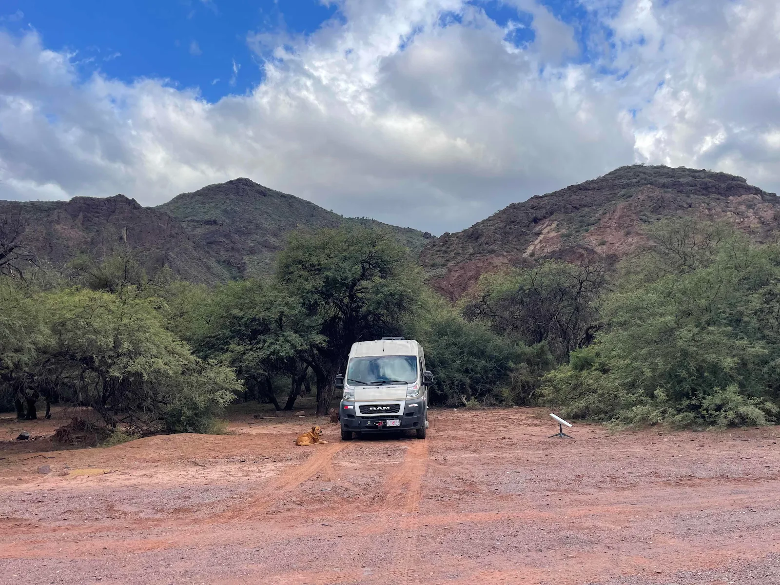
Dark at 7:30. It’s getting to be winter.