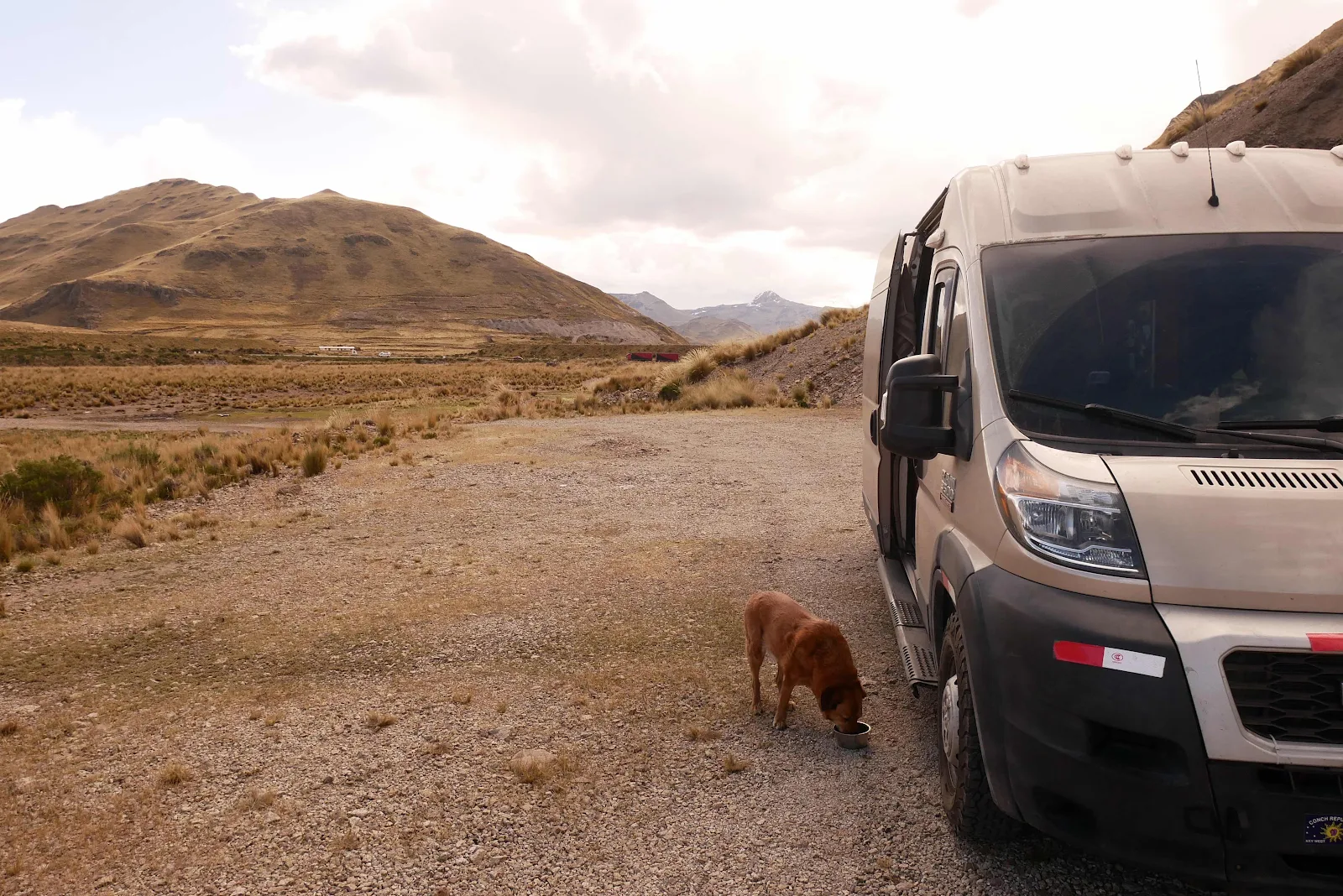
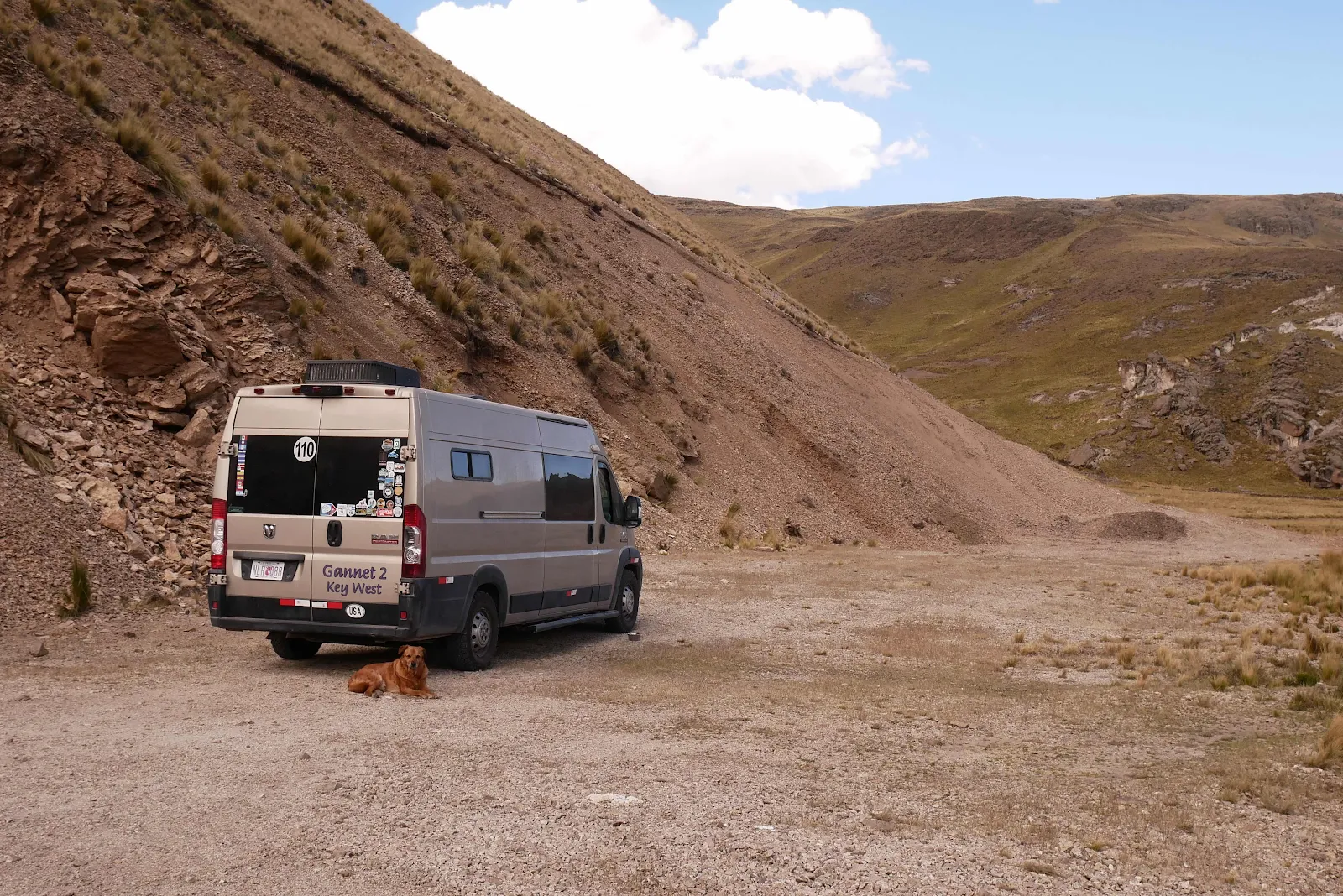
We have traveled 30,000 miles in 13 countries over 21 months and I am happy to report we have put behind us the worst traffic of any city we have passed through.
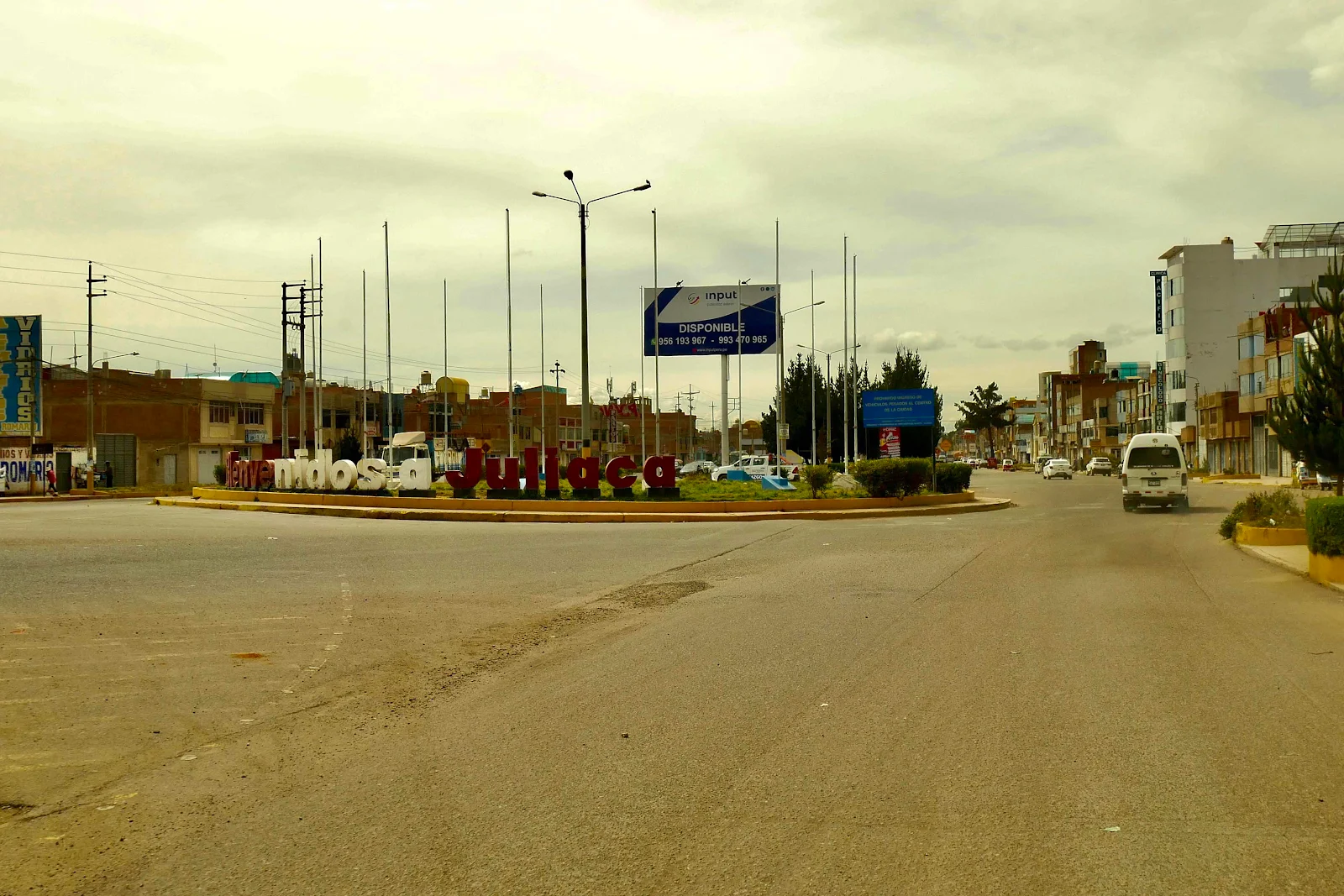
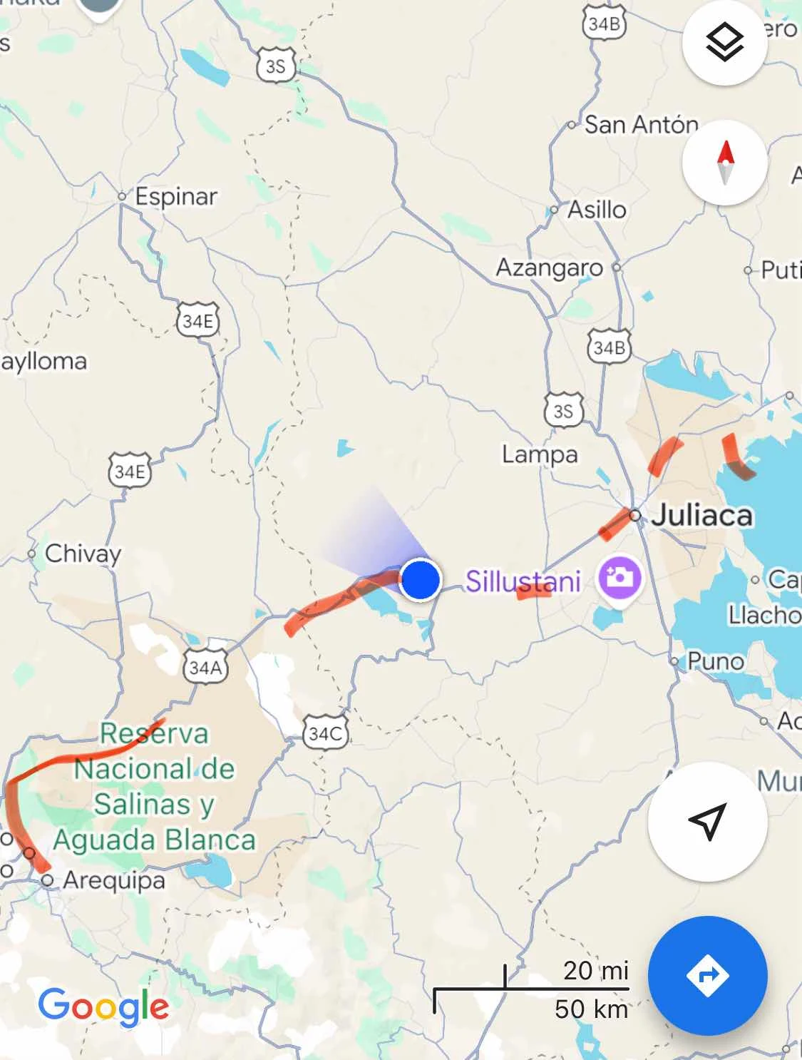
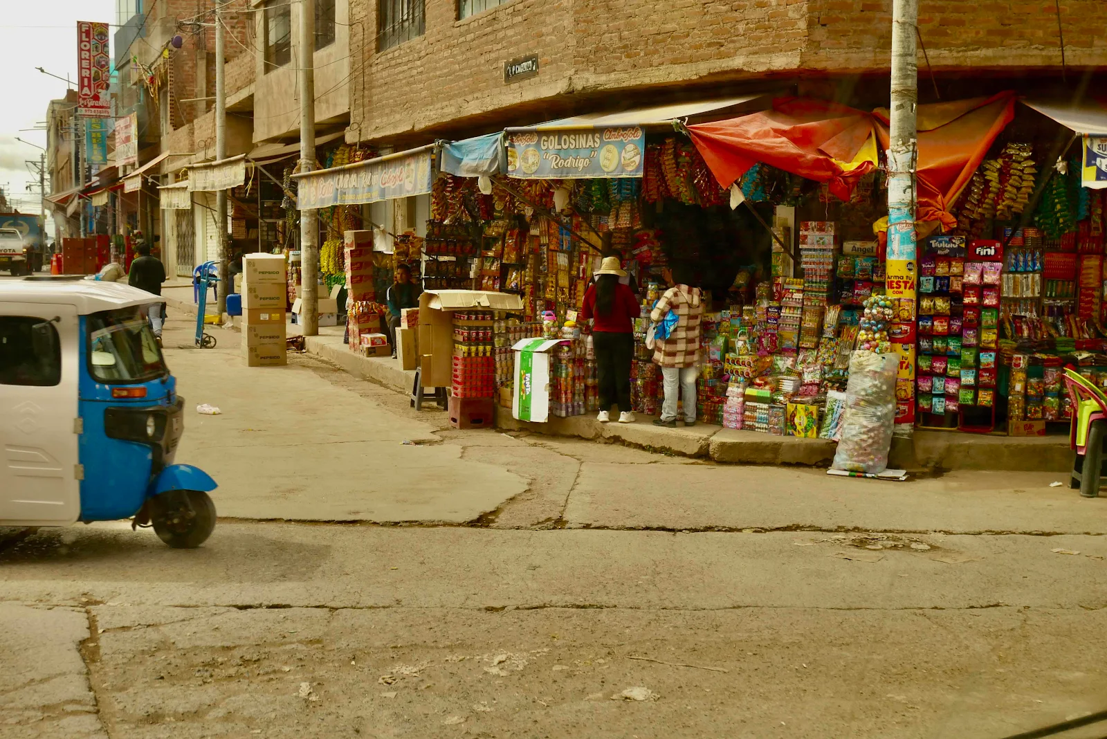
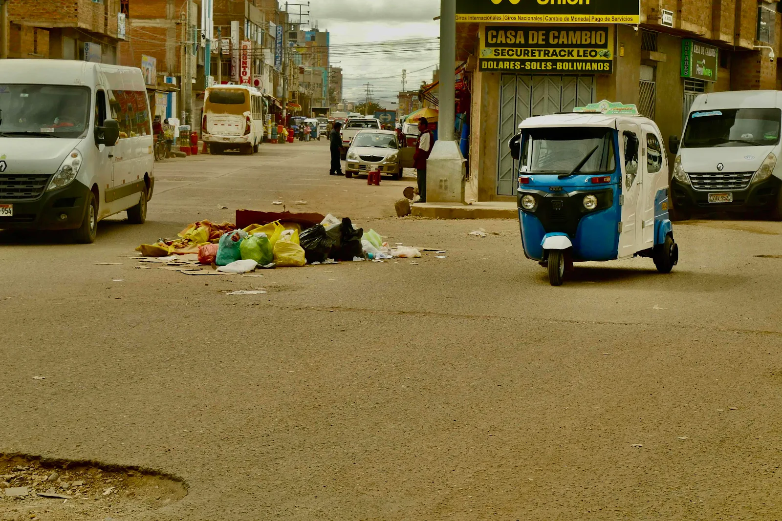
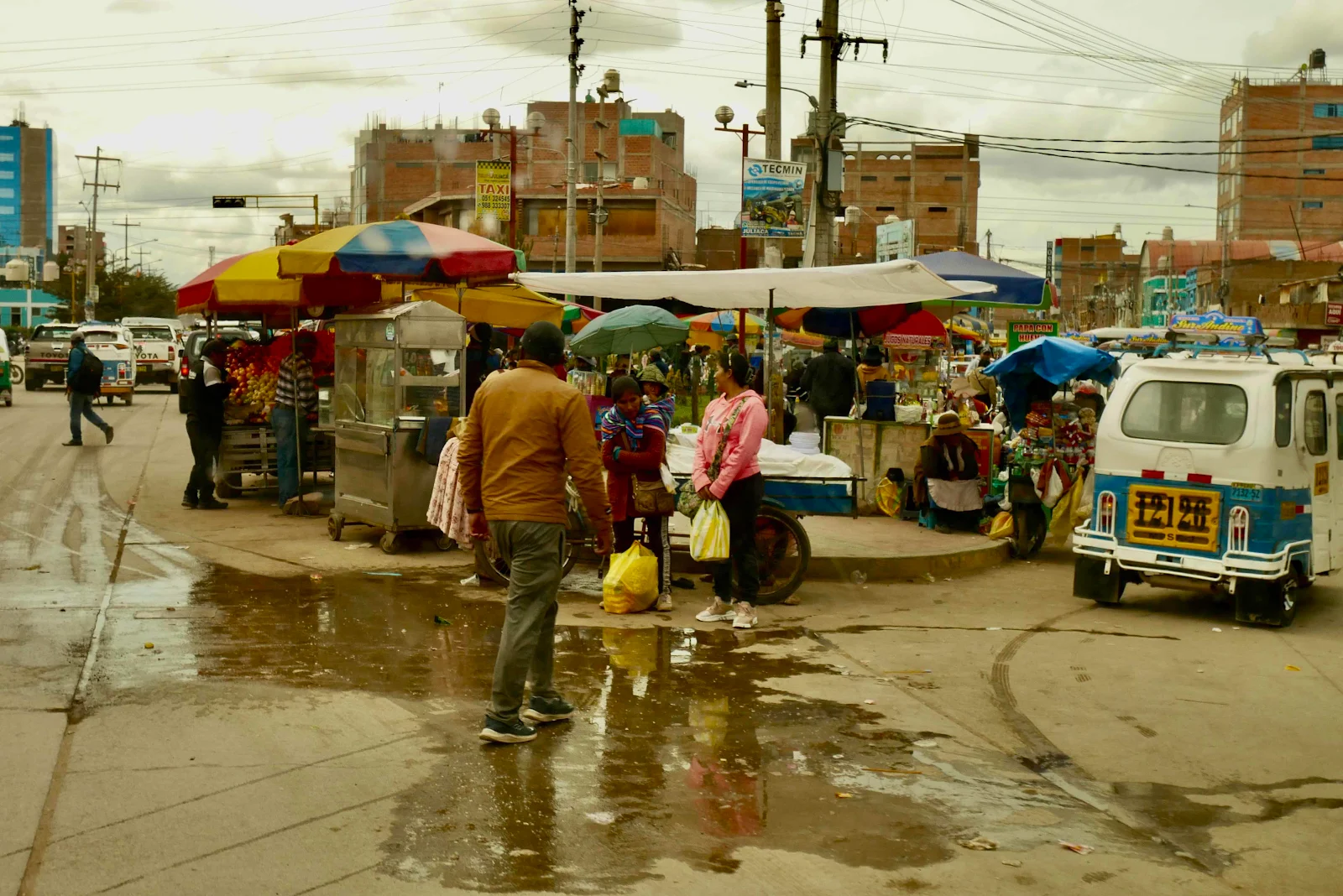
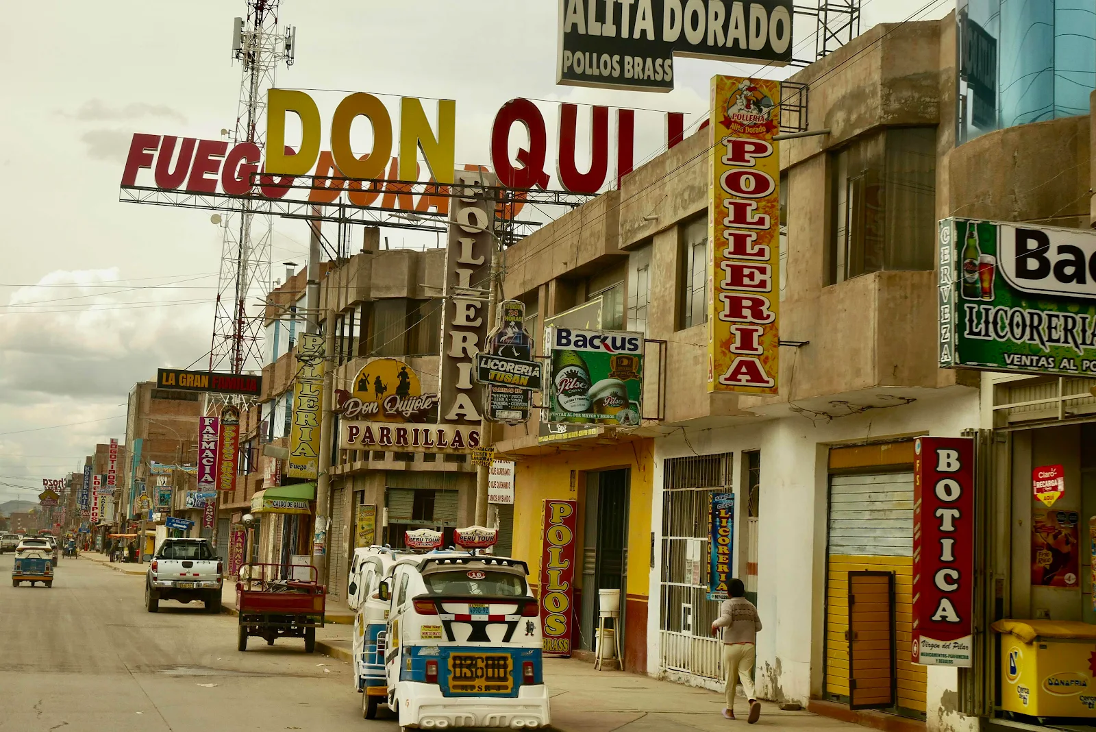
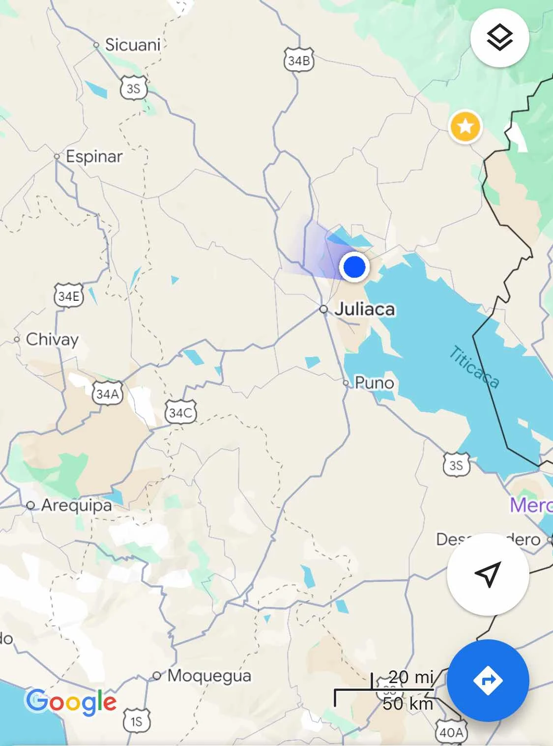
Juliaca is the largest city in southeastern Peru with a population of a quarter of a million people living at 12,500 feet and if you look the place up you will see the usual colonial Spanish architecture highlighted around the center of town. We on the other hand followed Google’s blue line across town. Lucky us.
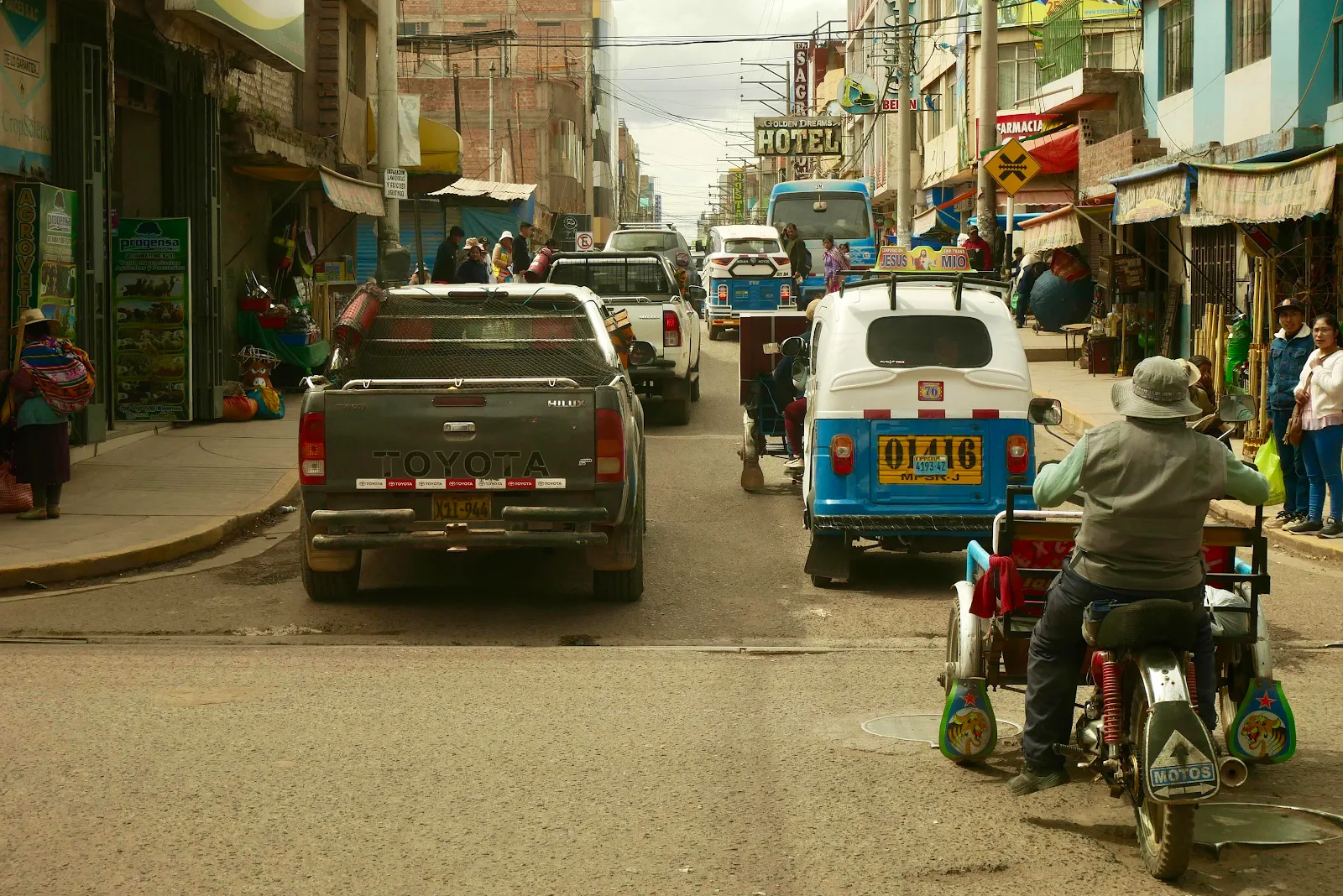
We drove into town planning to simply come out the other side. We wanted to buy drinking water but the store was closed so we compromised and bought a Peruvian scotch egg for lunch.
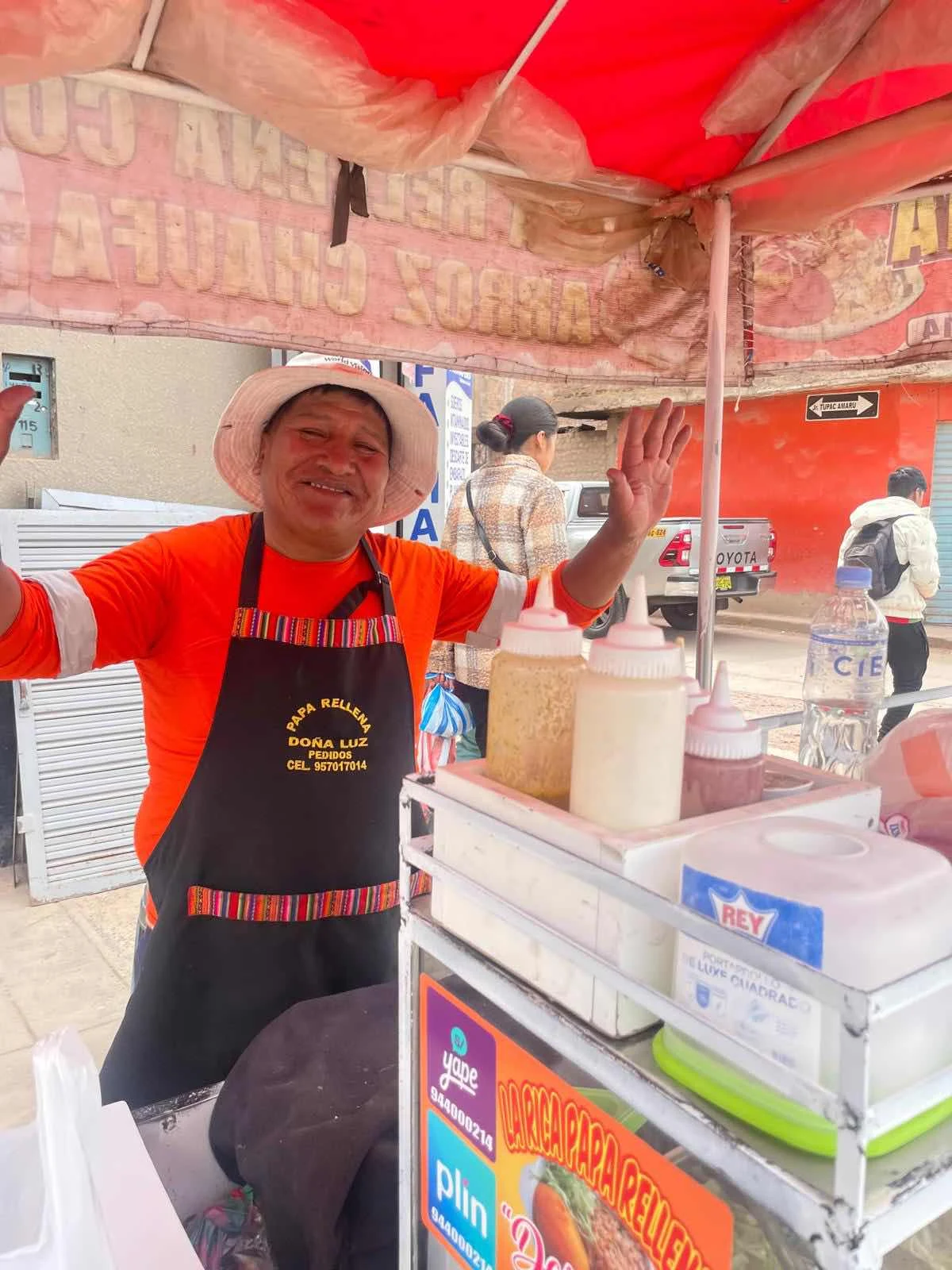
They call it a stuffed potato (“papa rellena”) a fried ball of mashed potato surrounds a boiled egg and it comes with Chinese fried rice and a salad for $1:40 each and that friends is another reason to enjoy Peru.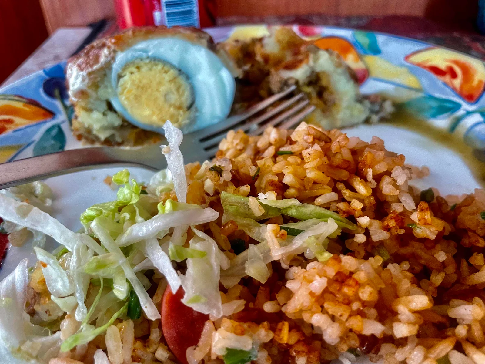
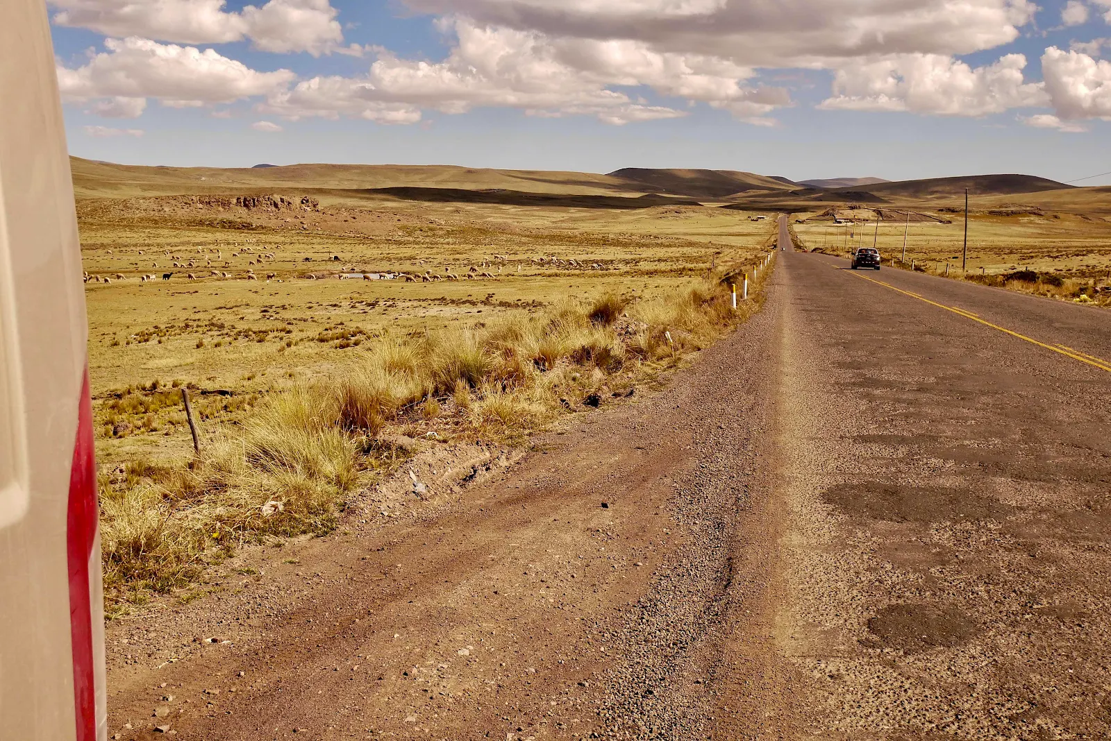
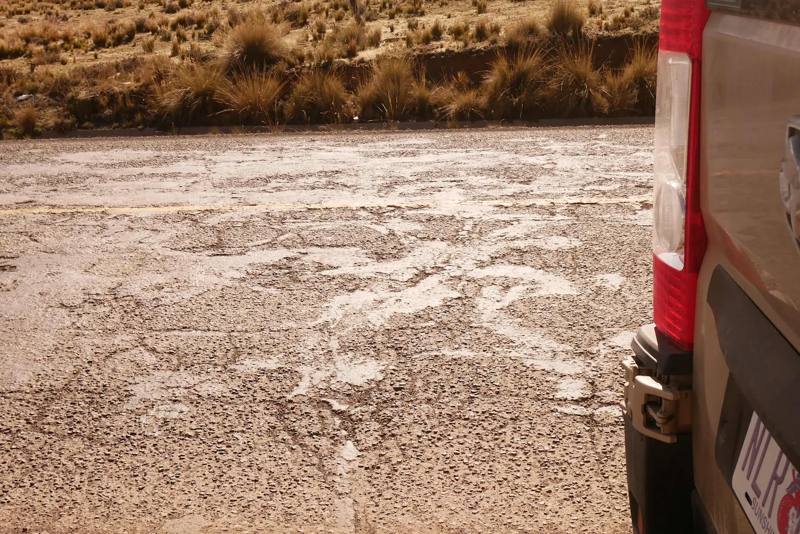
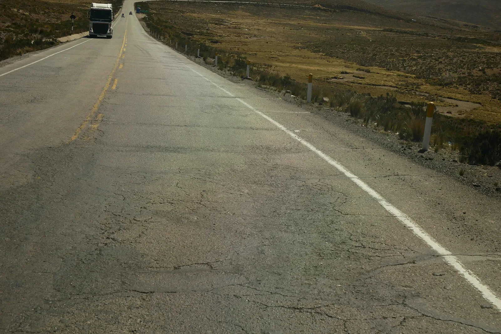
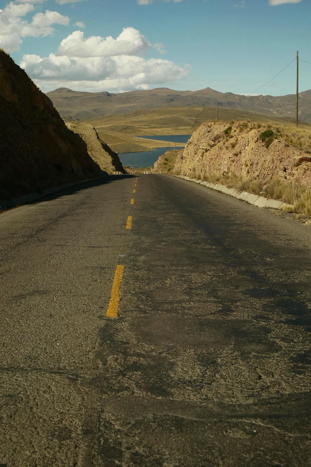
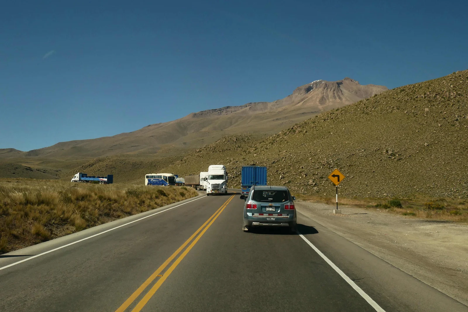
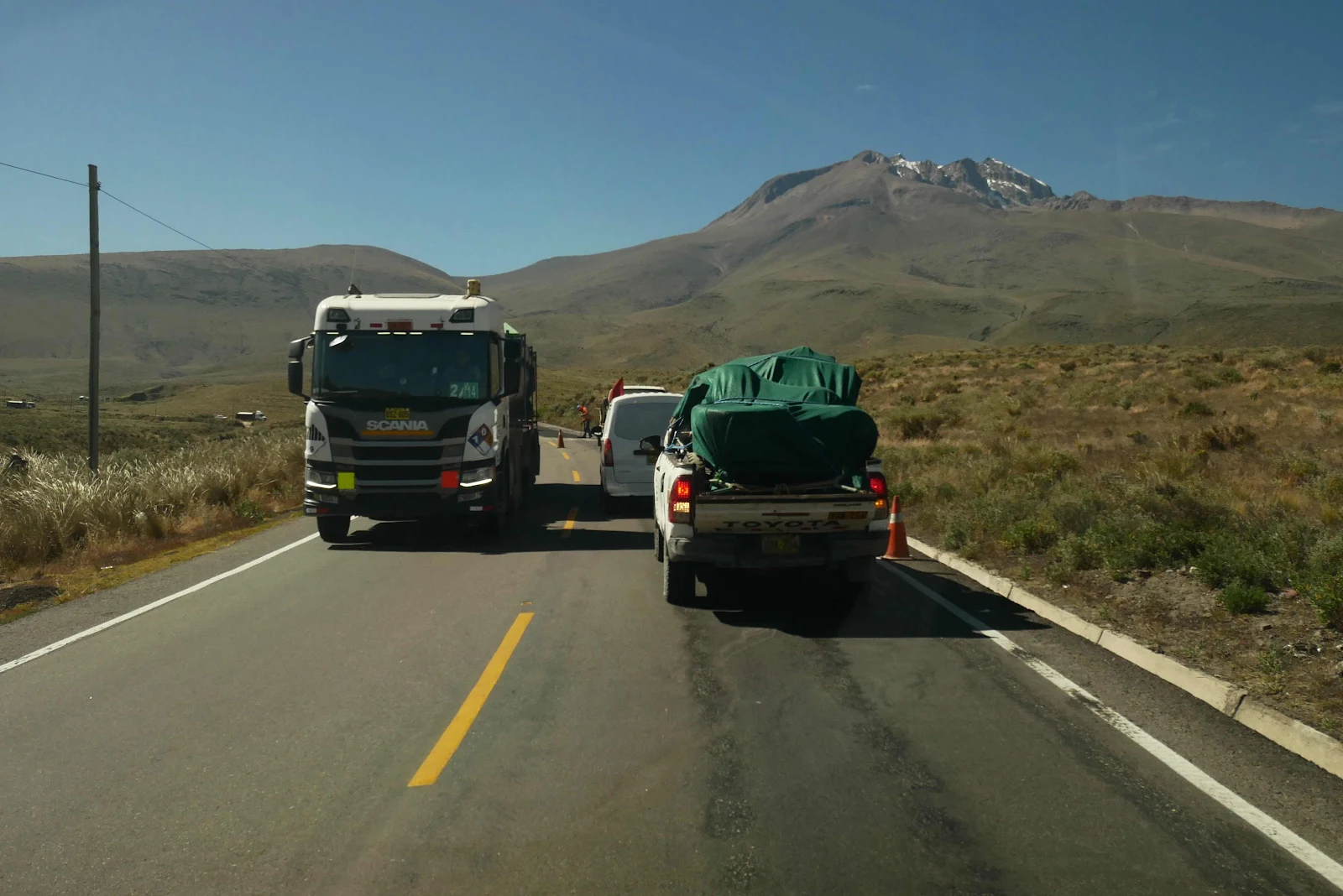
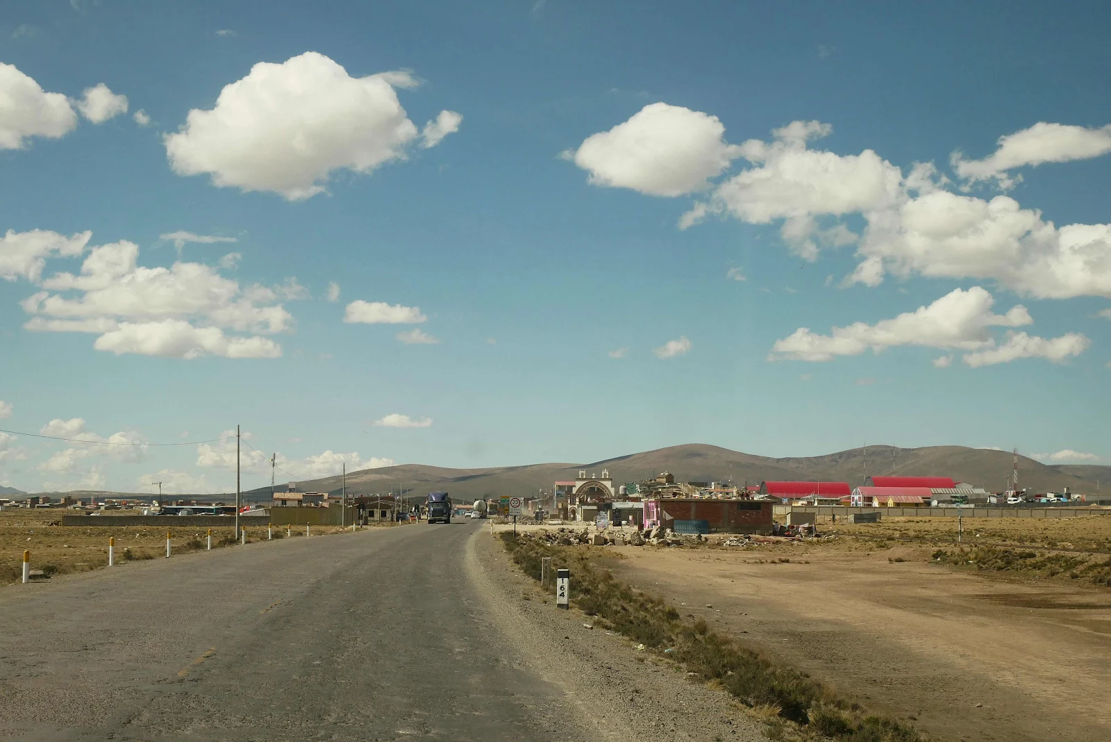
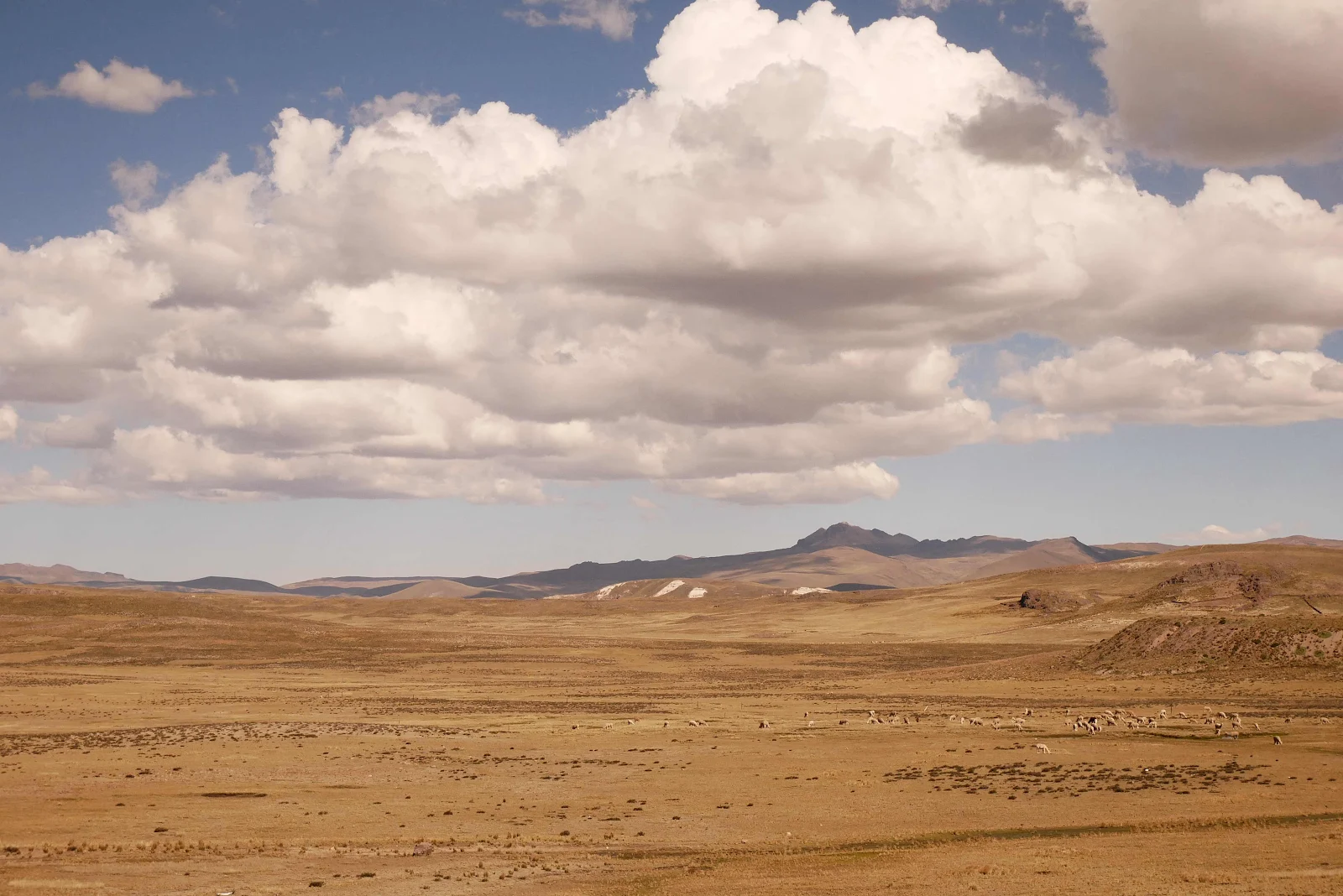
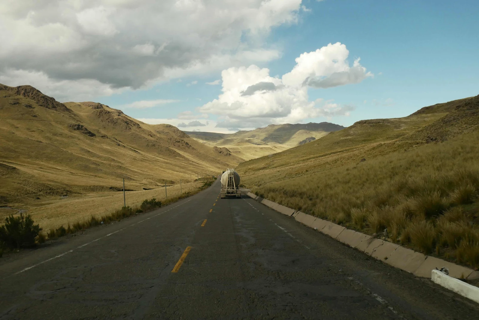
The road into the city from our wild camp 40 miles away was a better quality than the rest of the way from Arequipa had been so we made better time across the altiplano, the high plains. We had to pay a toll, $4:25. which seemed outrageous for such a crap road surface. The rather sweet toll taker in the tiny booth assured me they are preparing to resurface the highway…and the money will be used to improve the surface.
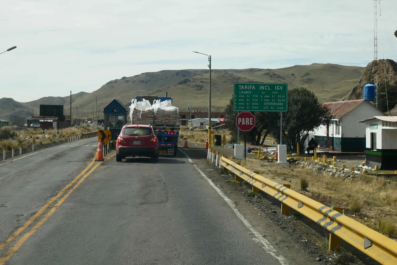
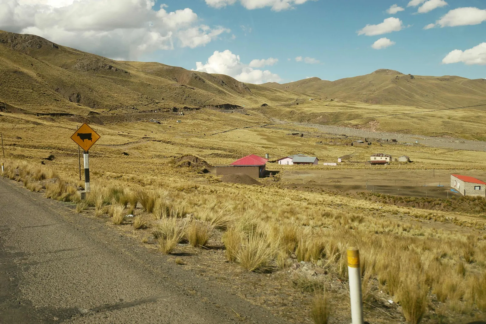
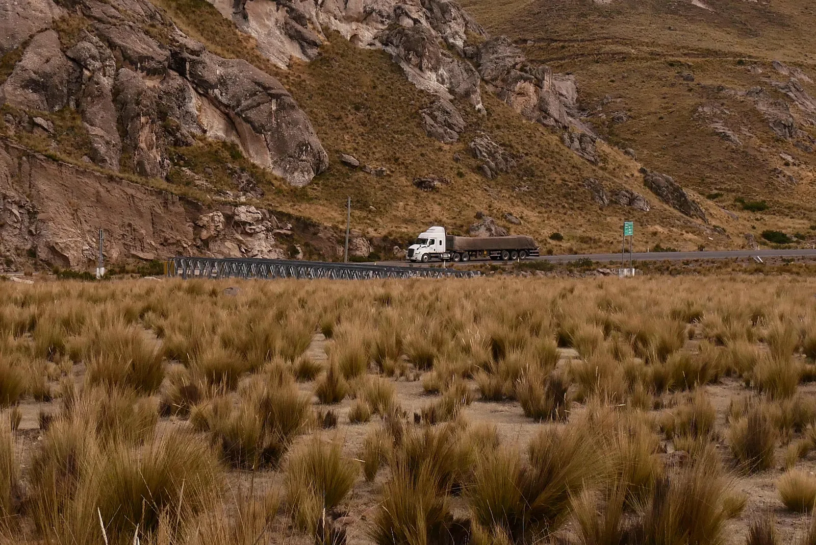
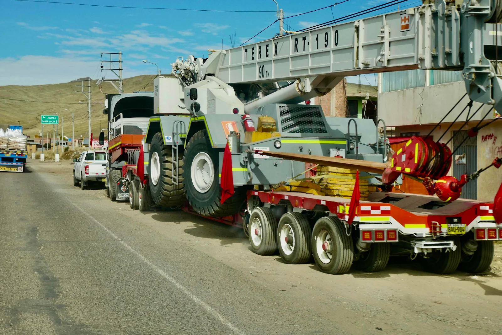
This is mining country, clearly:
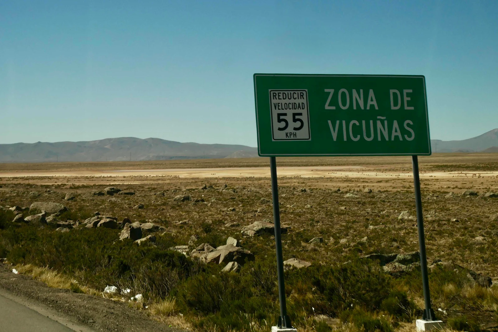
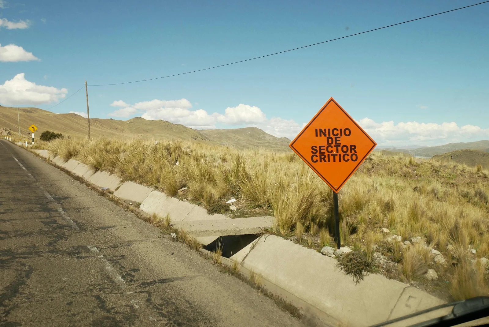
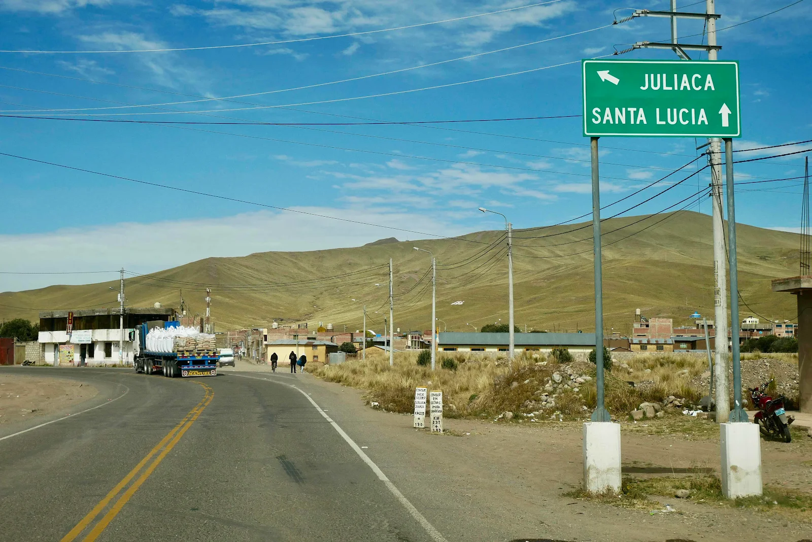
Why the road signs are so tall I couldn’t say but perhaps they are designed to prevent graffiti. If so it works.
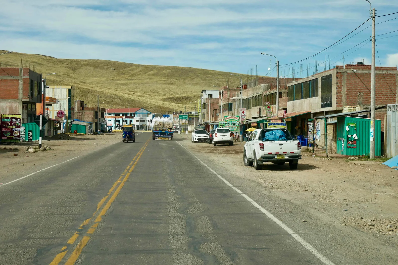
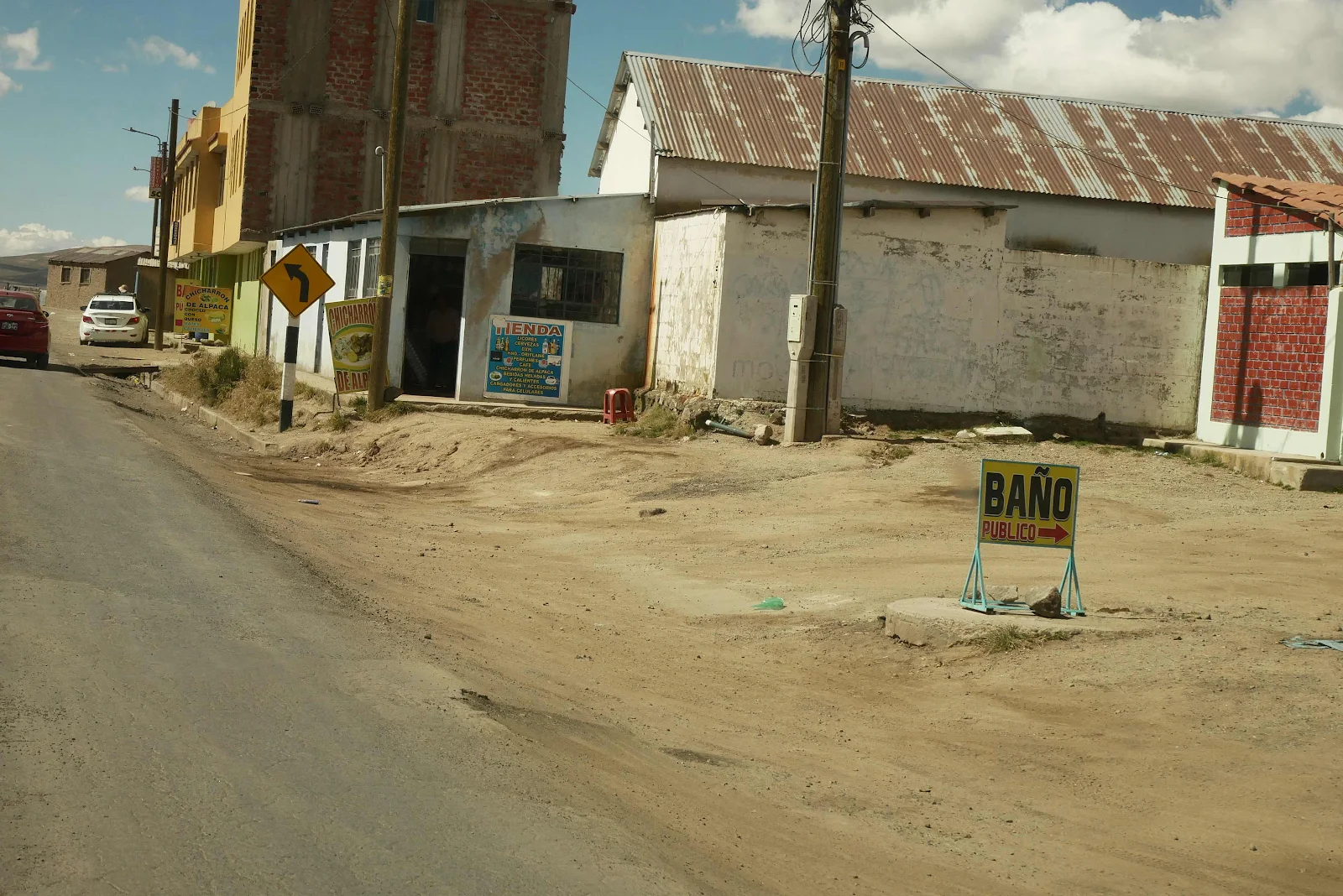
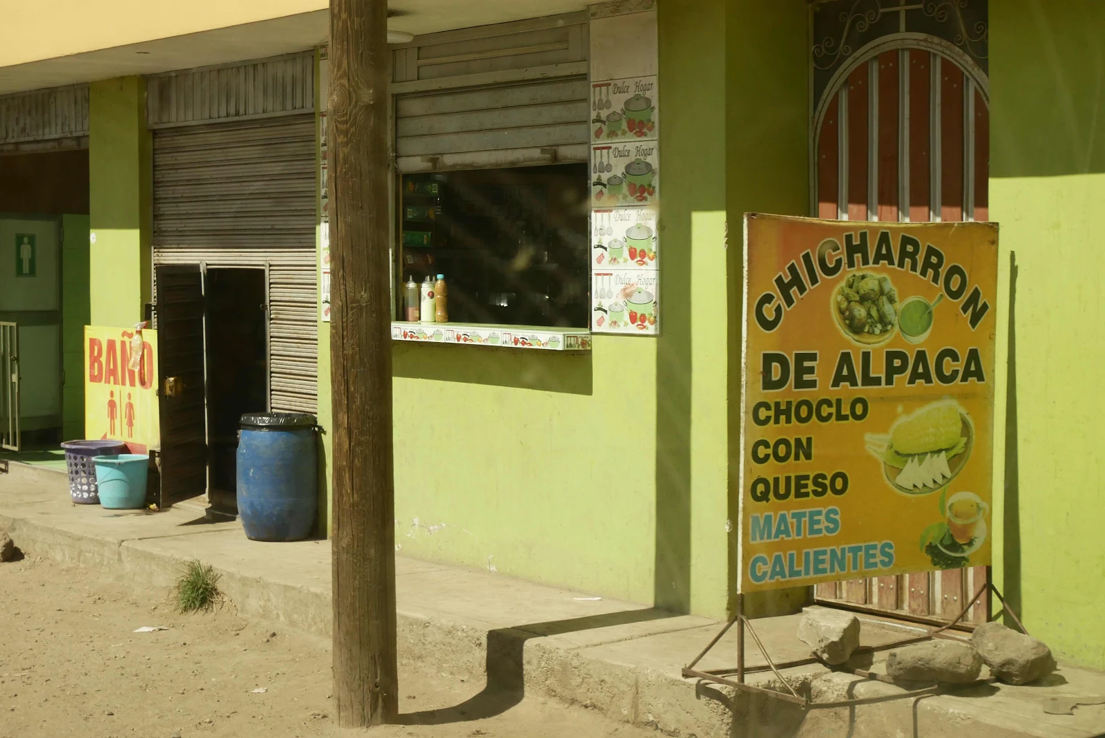
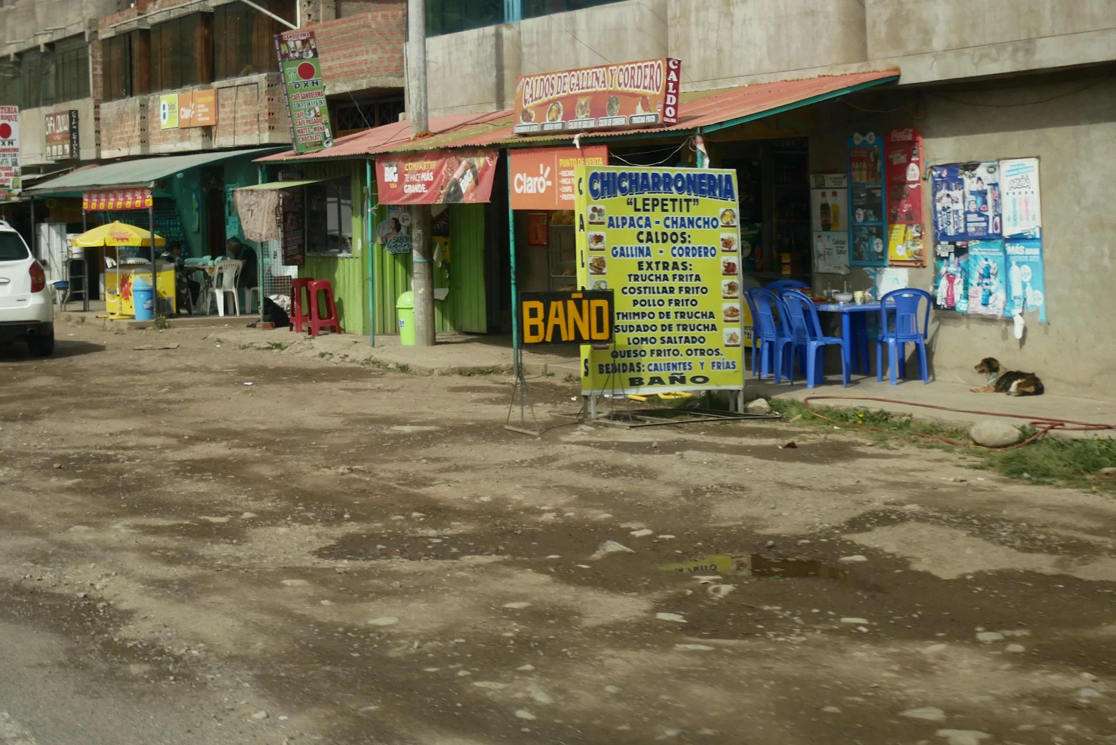
These are your basic Peruvian truck stops, an area of dirt to park on and billboards advertising alpaca or pork main dishes or chicken or lamb stews. These meals typically start with a bowl of soup and include a fruit drink. For a few dollars you can be pretty sure you’ll have leftovers for dinner.
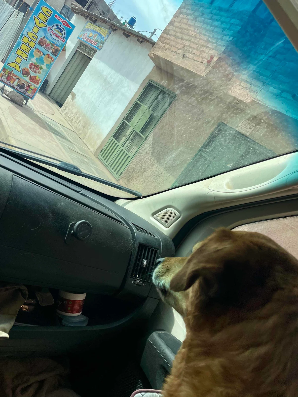
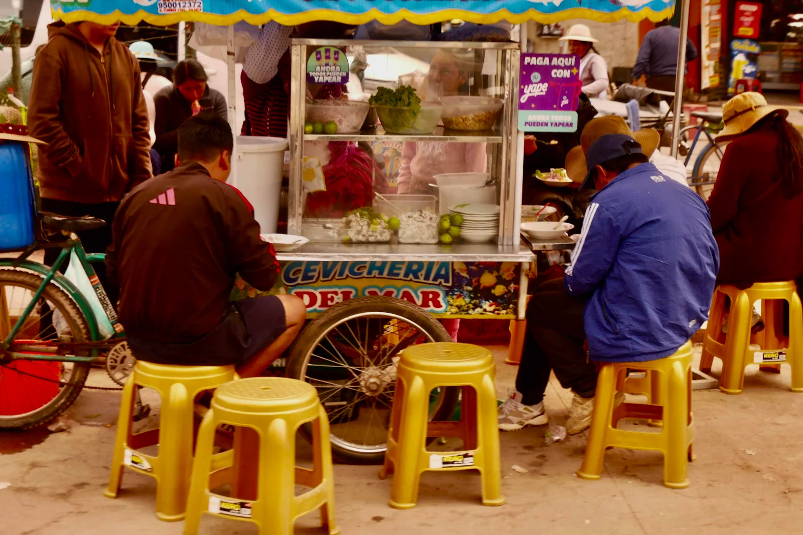
It takes a braver soul than me to try raw fish this far from the ocean.
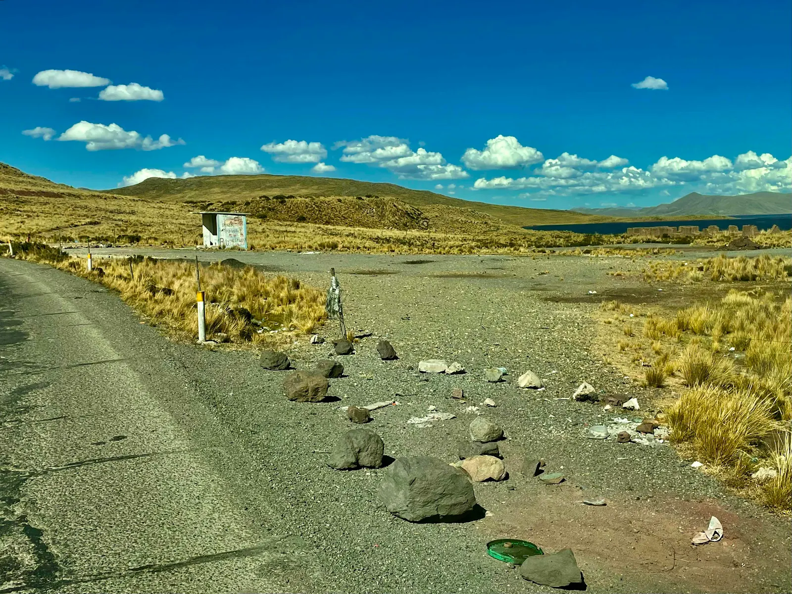
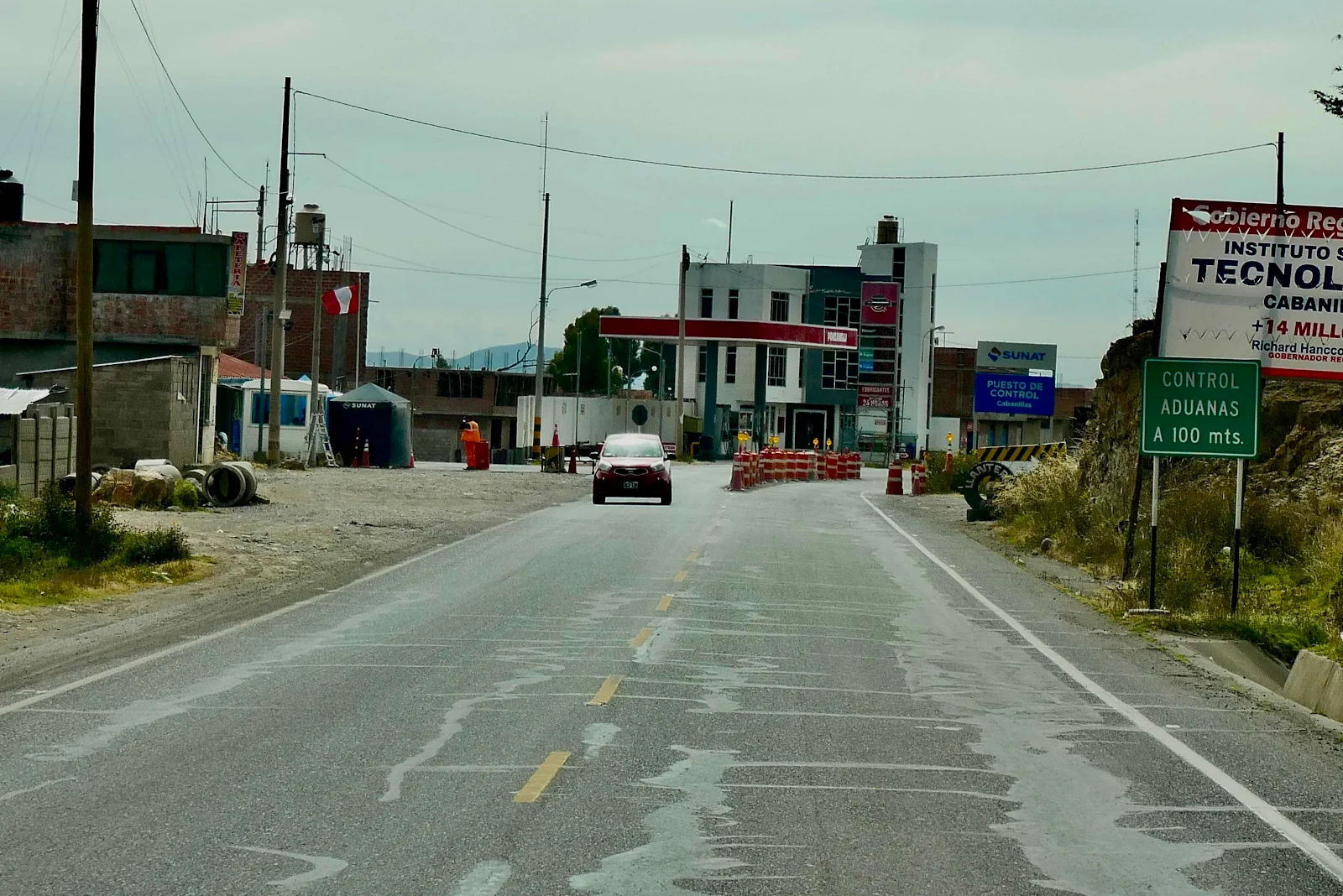
Another unstaffed customs checkpoint. We have never been hassled by any officials along these highways. Peruvian cops have a terrible reputation among overlanders but we have never had a problem.
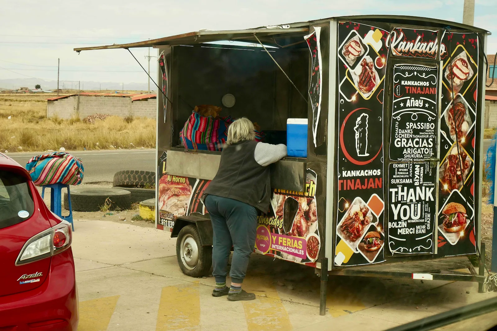
It looked abandoned but Layne went to check it out and a lady came over to explain what “kanchako” is and it turns out it’s roast alpaca chunks served in a plastic bag with a boiled potato and the largest corn kernels you’ve ever seen. We shared it as I drove, lunch on the go.
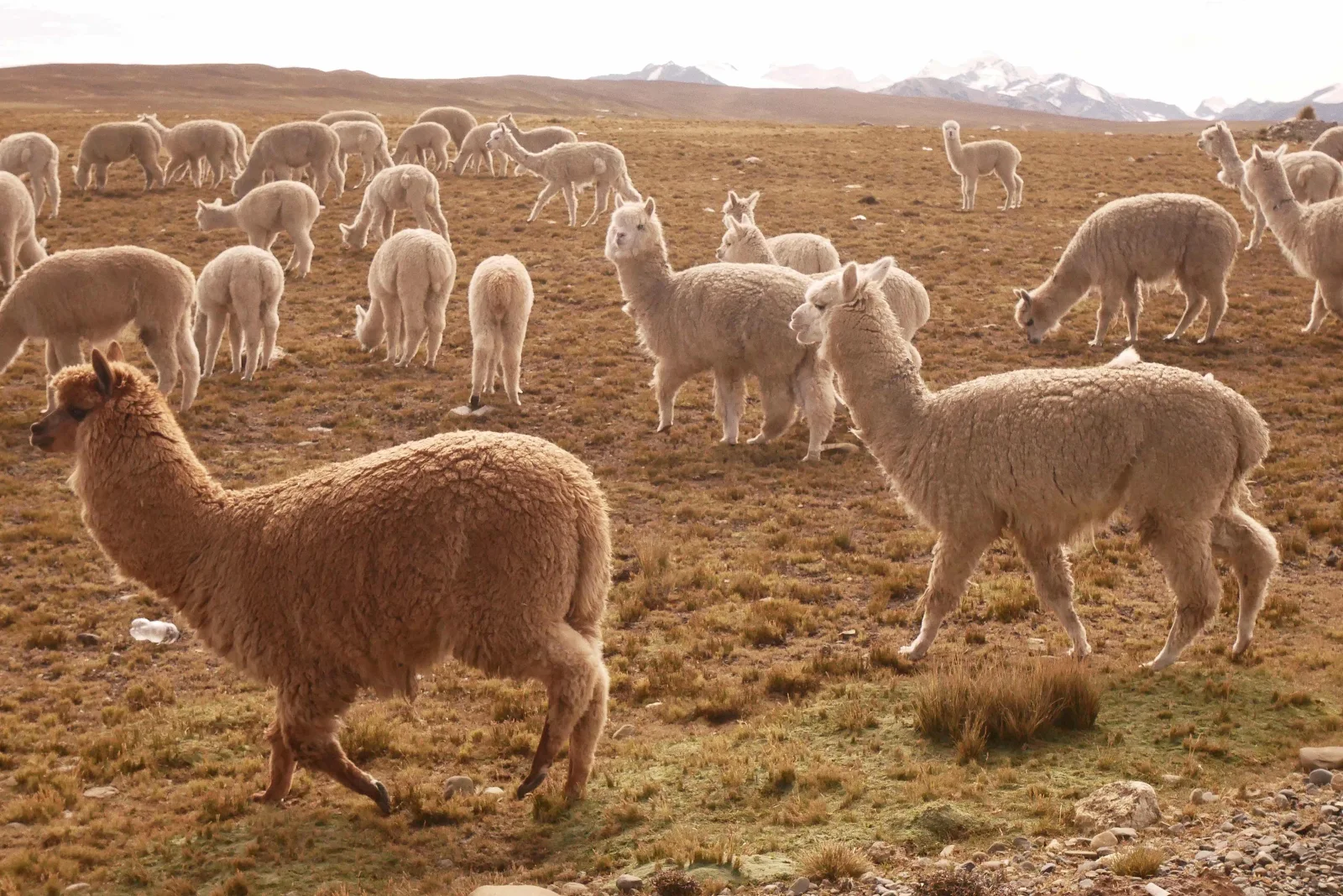
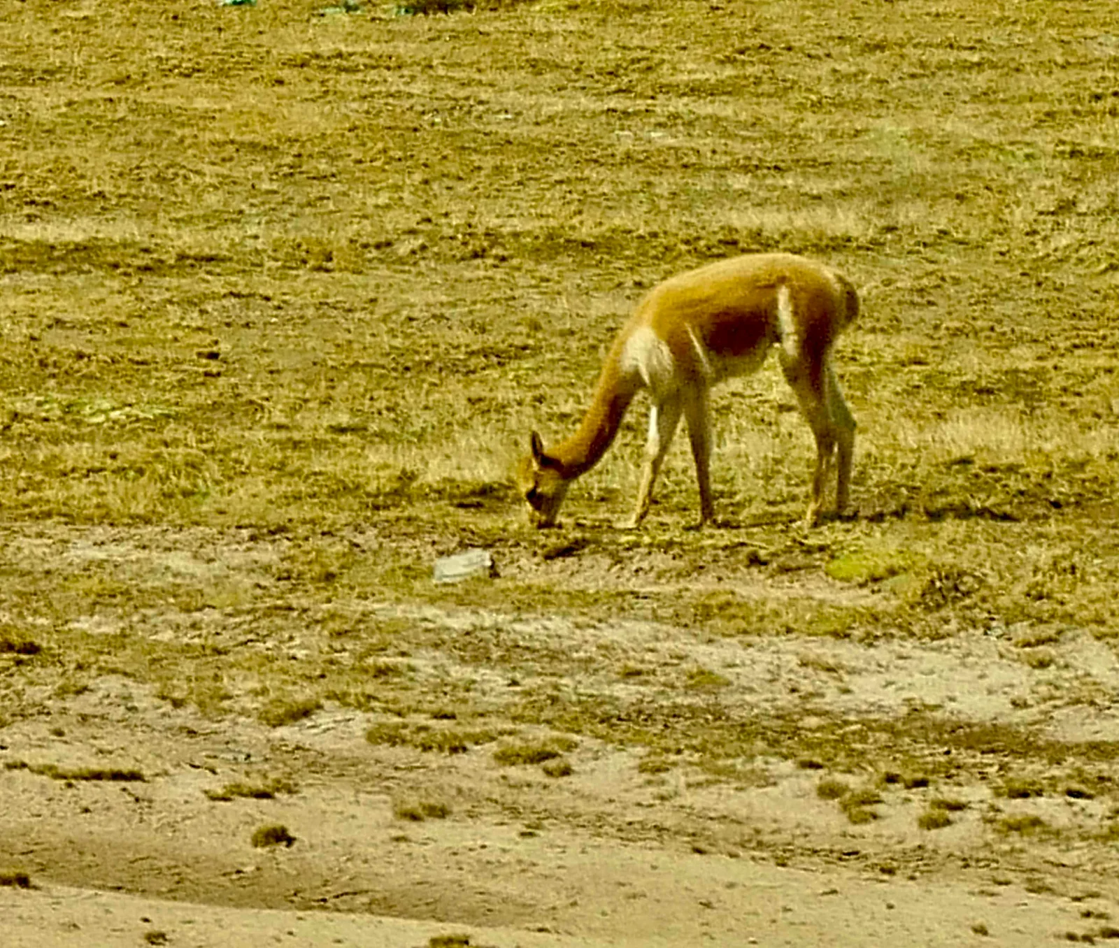
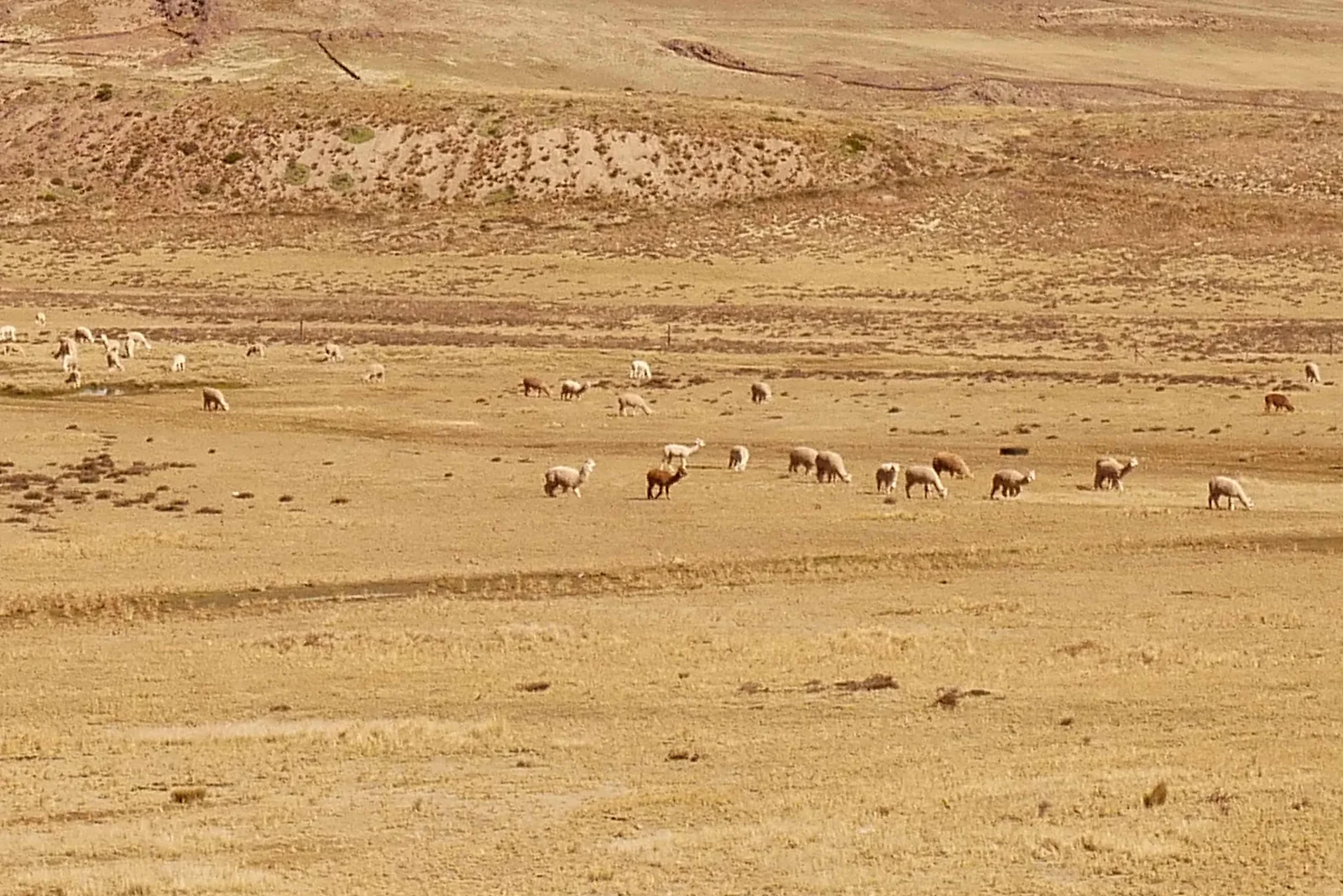
I have to say I was rather freaked out at first eating alpaca, the pretty white wooly animals seen grazing here and which I have photographed all over the place.
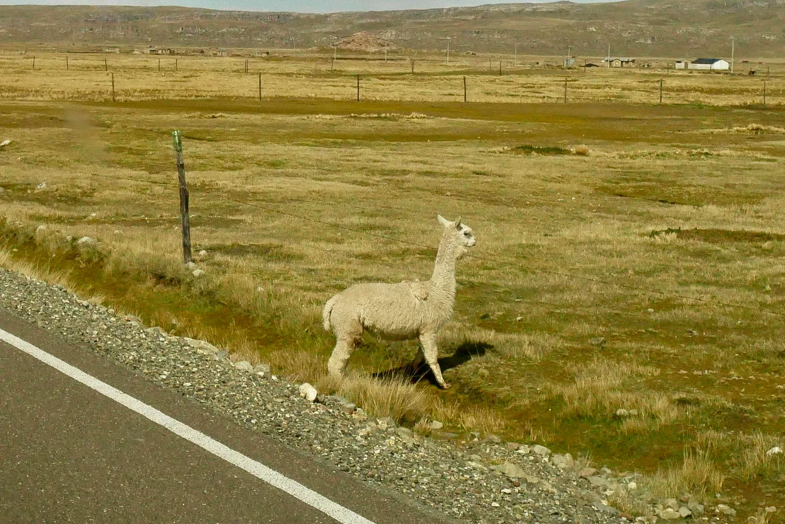
The fact is they are an economic necessity here. Their wool is prized and their meat tastes like beef and is not at all gamey and they thrive at ridiculous altitudes living well off the ghastly scrub grass that grows here. Such are the cultural adaptations you have to make to explore these countries properly. It’s a dive into their culture to eat the local food and Peruvians are superb cooks. Some eateries are a bit too basic even for us:
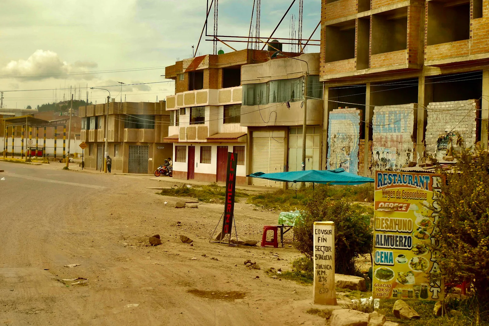
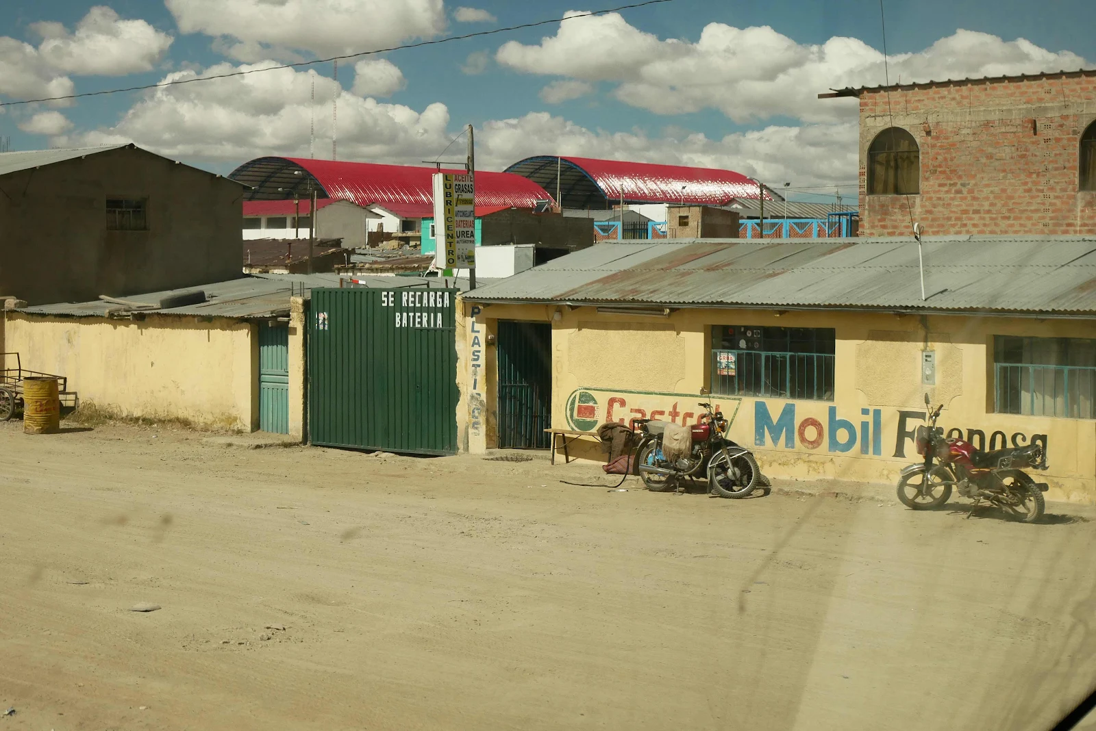
There are, as you will see, a ton of gas stations in Juliaca. Some are closed, many look badly run down and some are first class. We filled with gas at a clean modern gas station and weirdly we got the best price in town, purely because Layne knew it was likely to be among the cheapest. She watches these things and scored $3:60 for a gallon of regular.
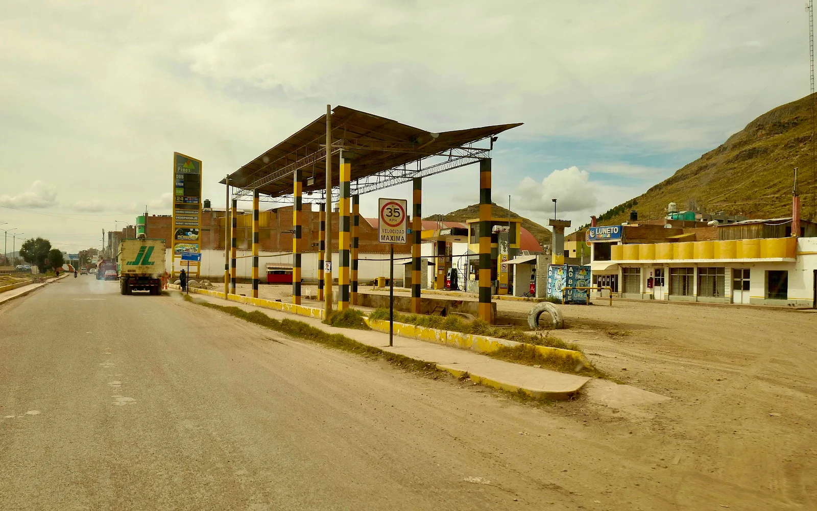
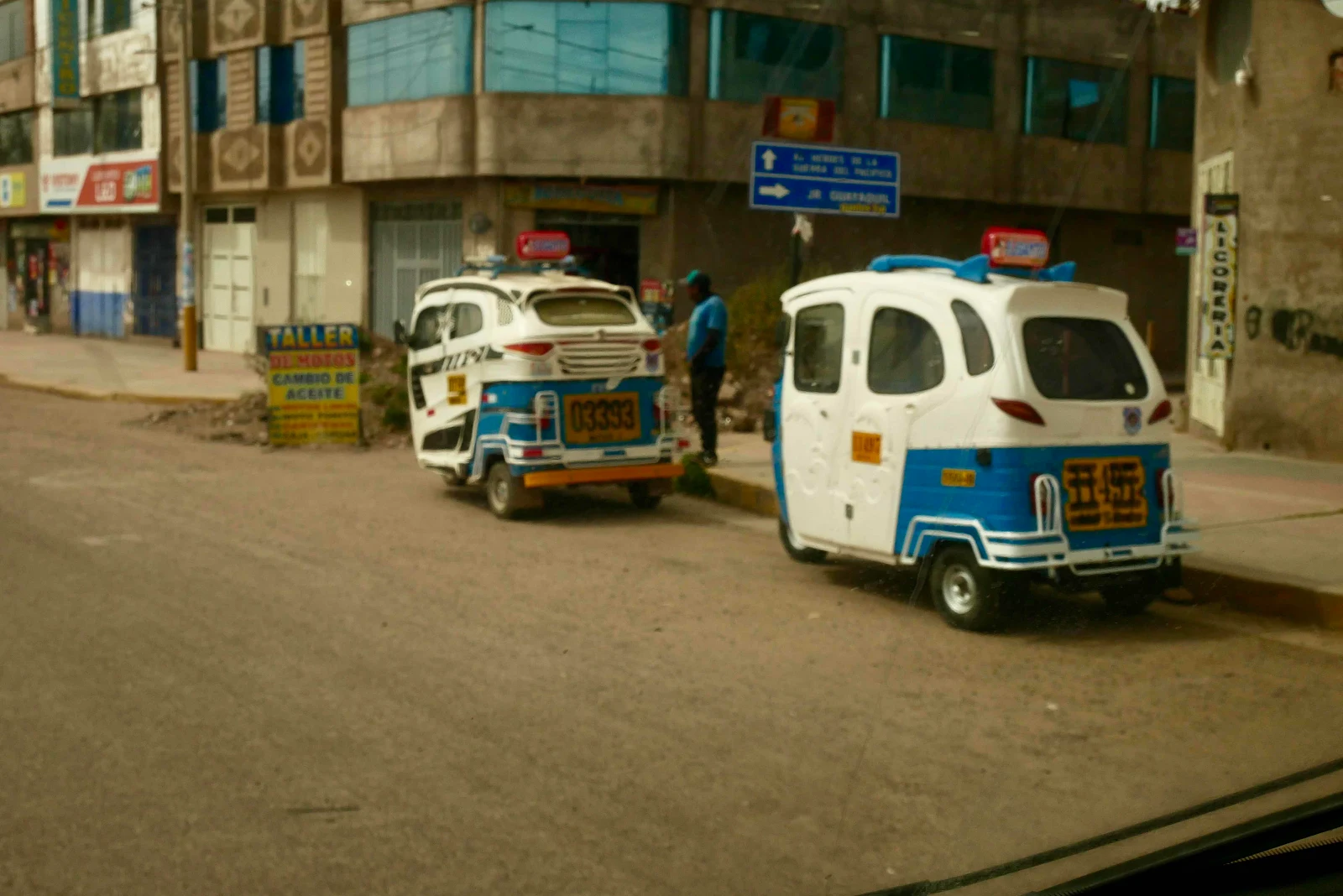
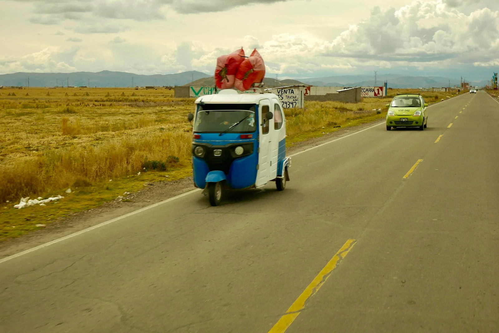
In Peru for some reason gas stations are called “grifos” which is totally unique and weird and I have no idea where the word comes from. Tuk tuks at these frigid altitudes have totally enclosed cabins:
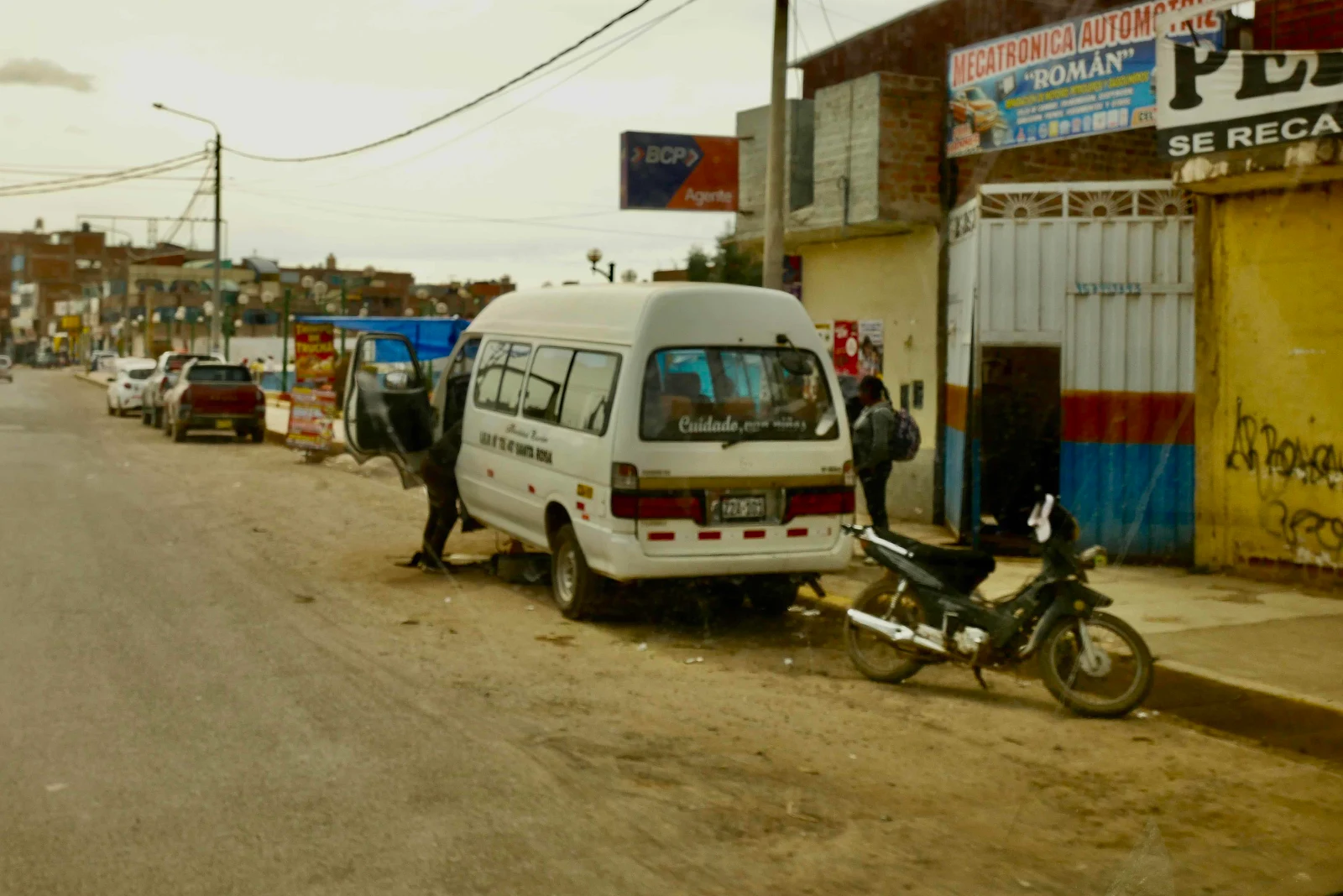
Your bus breaks down so you fix it on the street. And a gringo drives by snapping a quick picture of your efforts. Such is cultural adaptation. I was reading on a Promaster forum how Costco refused to install new tires on a van as it was too big for their lift and “policy” did not allow them to change the tires in the parking lot outside the workshop. South America is the land of the free these days…
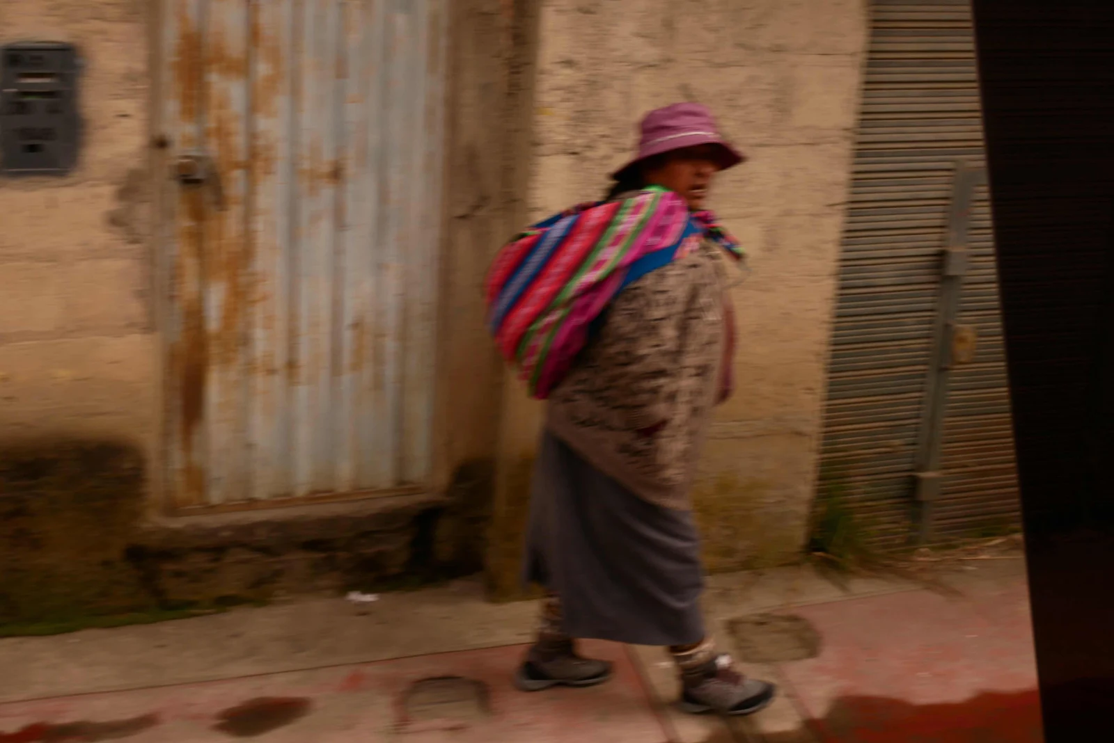
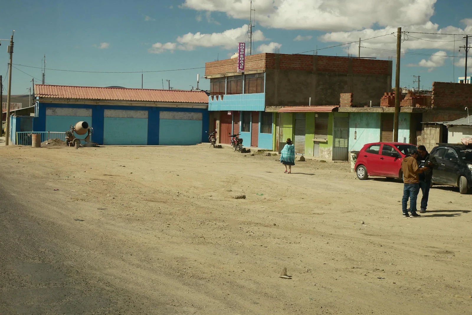
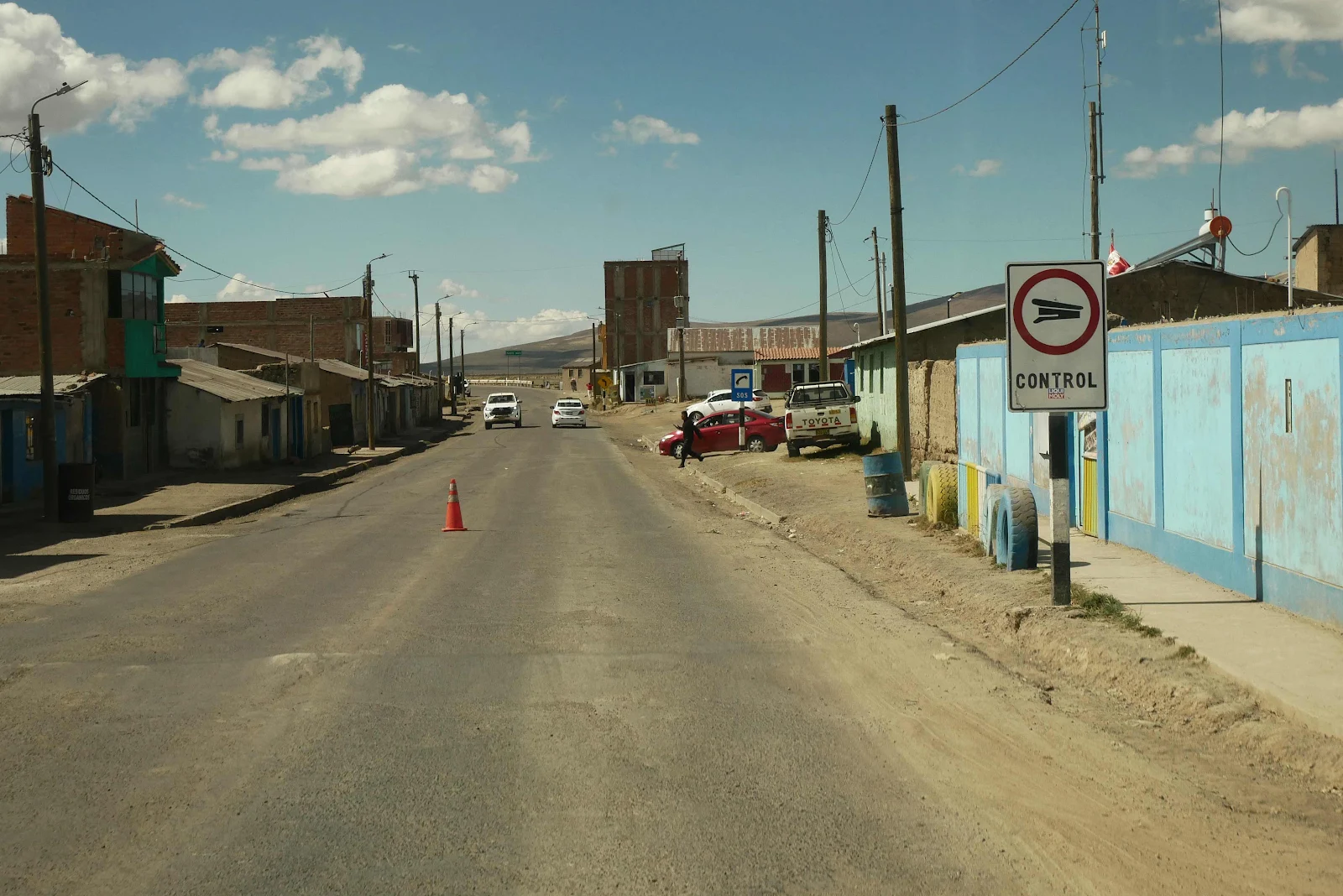
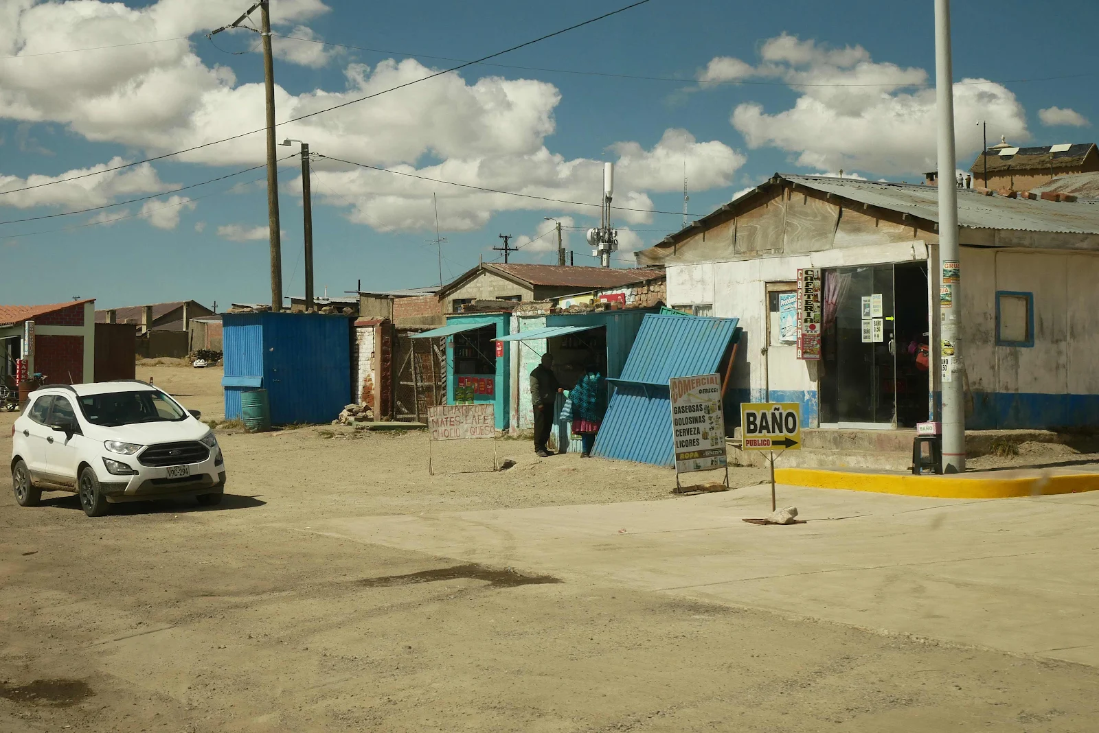
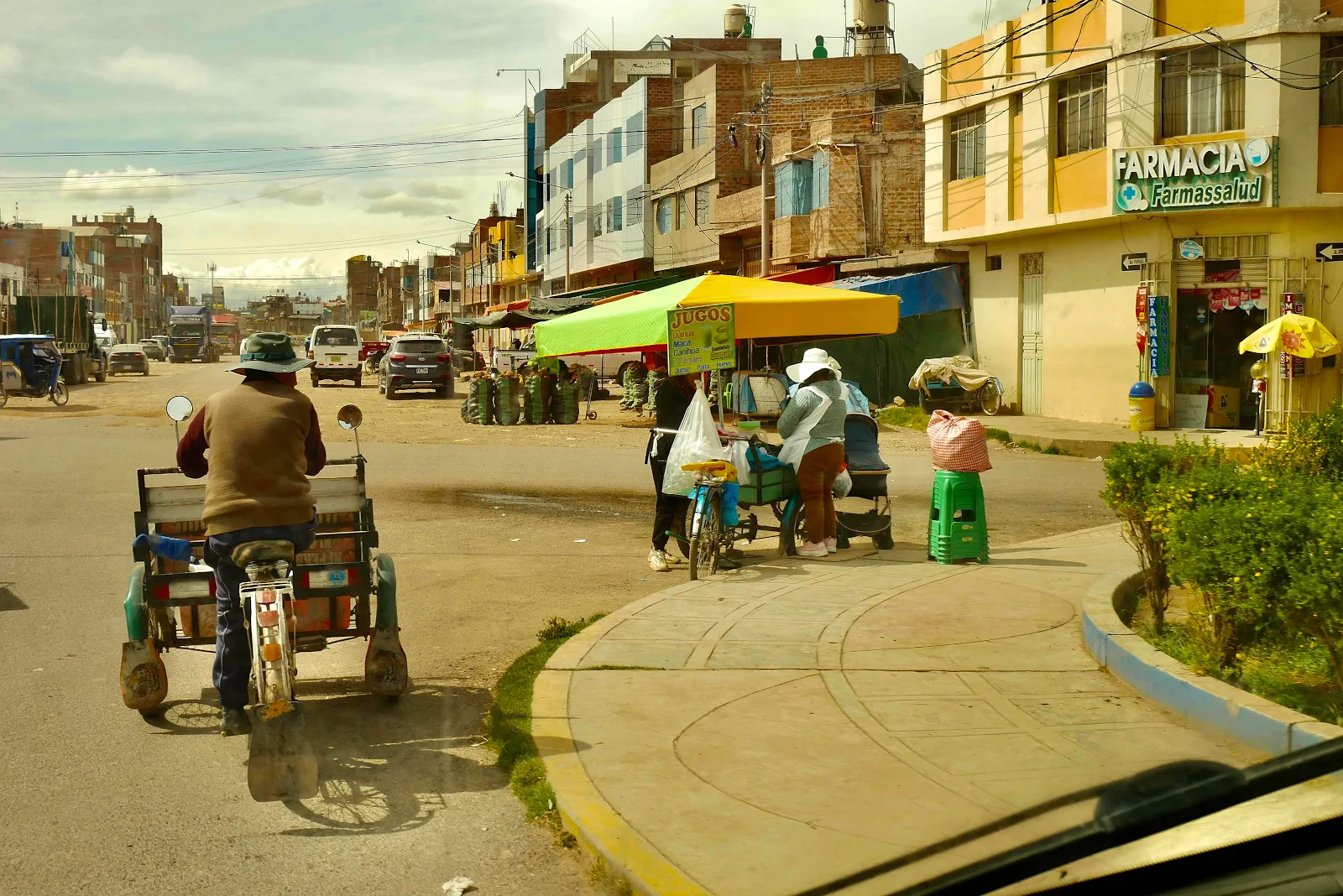
These are the suburbs of this city of a quarter of a million people near Lake Titicaca, and it just highlights the poverty of this region:
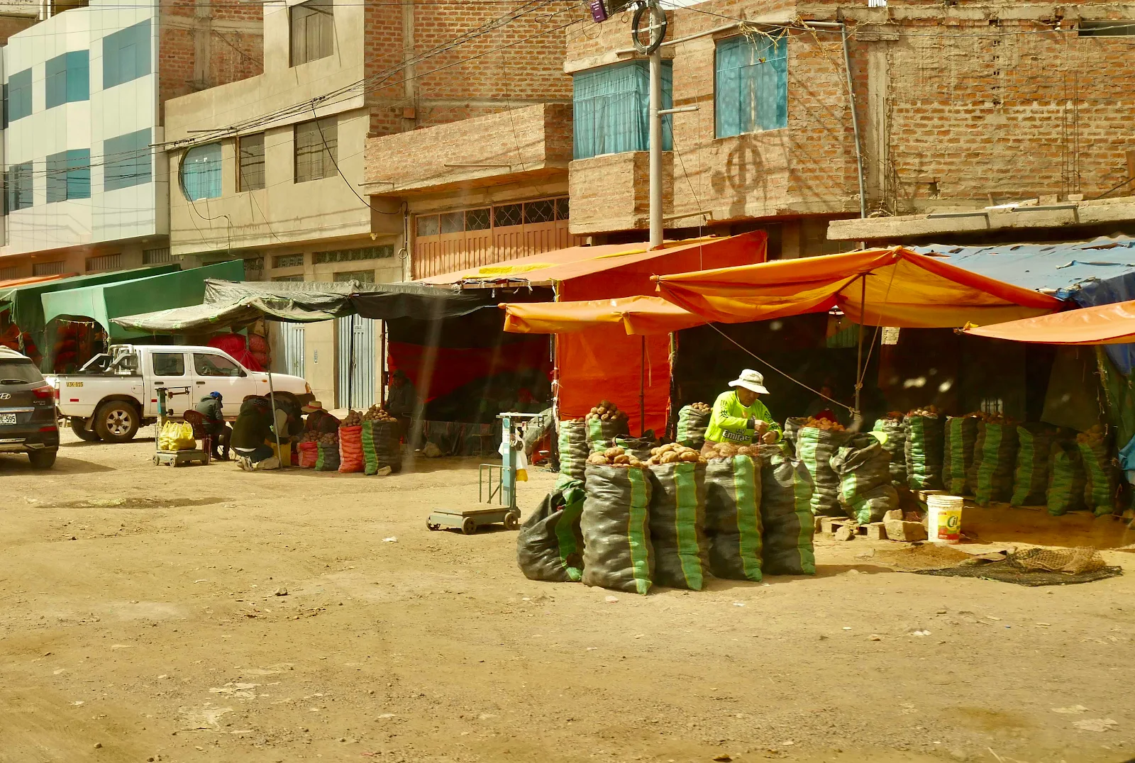
Peru is proud to claim they grow 4,000 varieties of potato. I counted around a dozen different kinds of potato in my soup the other day. Brown and purple knobs alongside big yellow slices of the more familiar King Edward style which I still prefer.
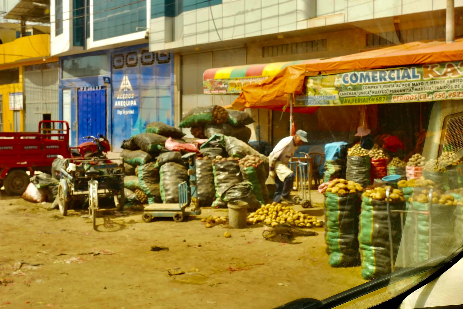
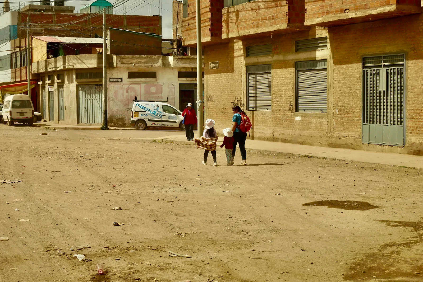
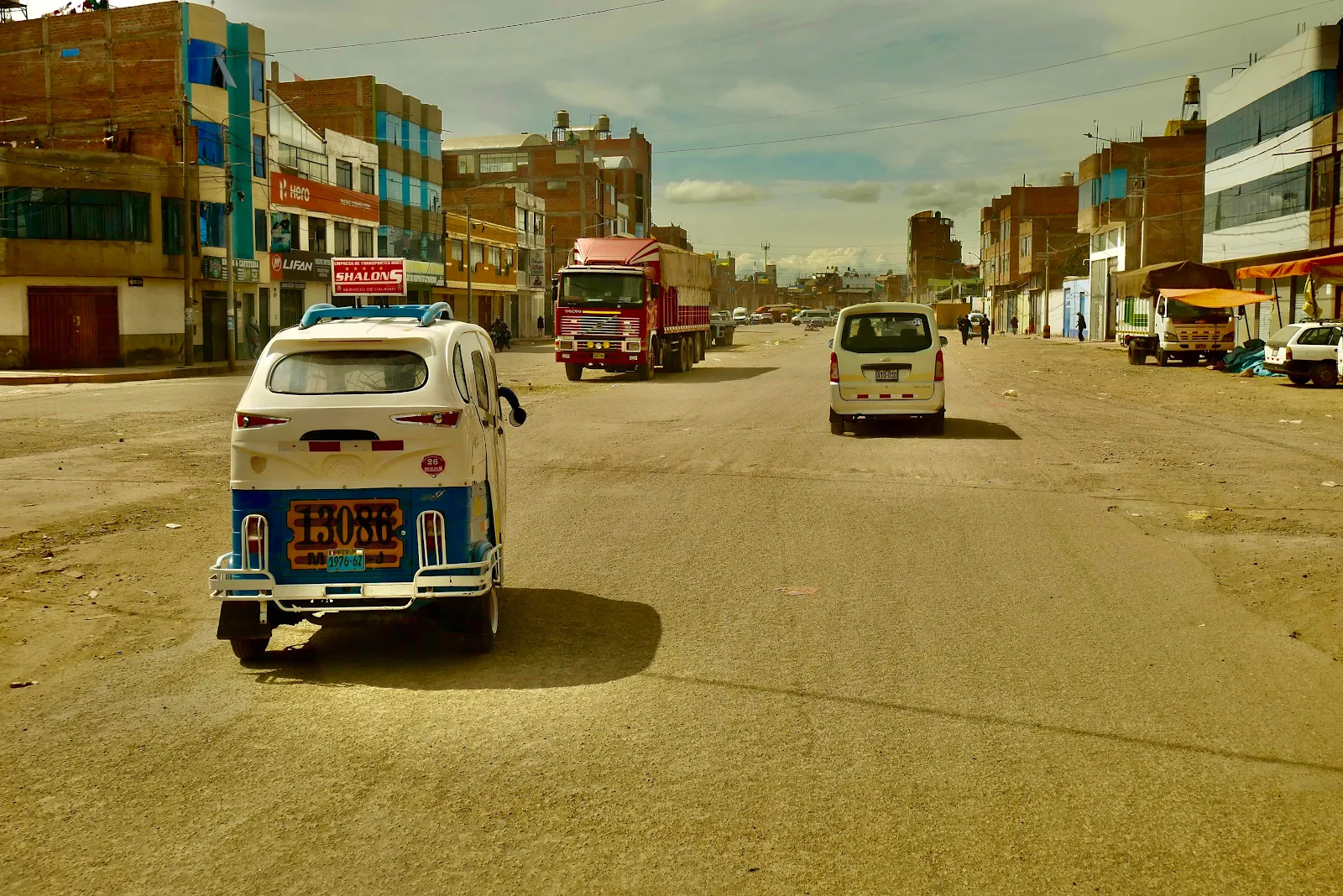
Google Maps has a passionate desire to save us seconds on our journey so sometimes we end up taking absurd direct routes that don’t take into account the realities of life in the streets. How could they? But I still feel lucky to have electronic mapping in my phone. I remember struggling with paper maps and having a map in my phone seems miraculous. Our van is the older model and doesn’t have integrated dashboard mapping and I don’t really mind as my phone is good enough.
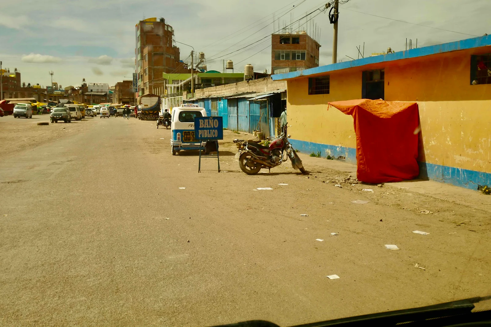
The trouble with announcing boldly that this city was a nightmare is that the most nightmarish bits are impossible to photograph.
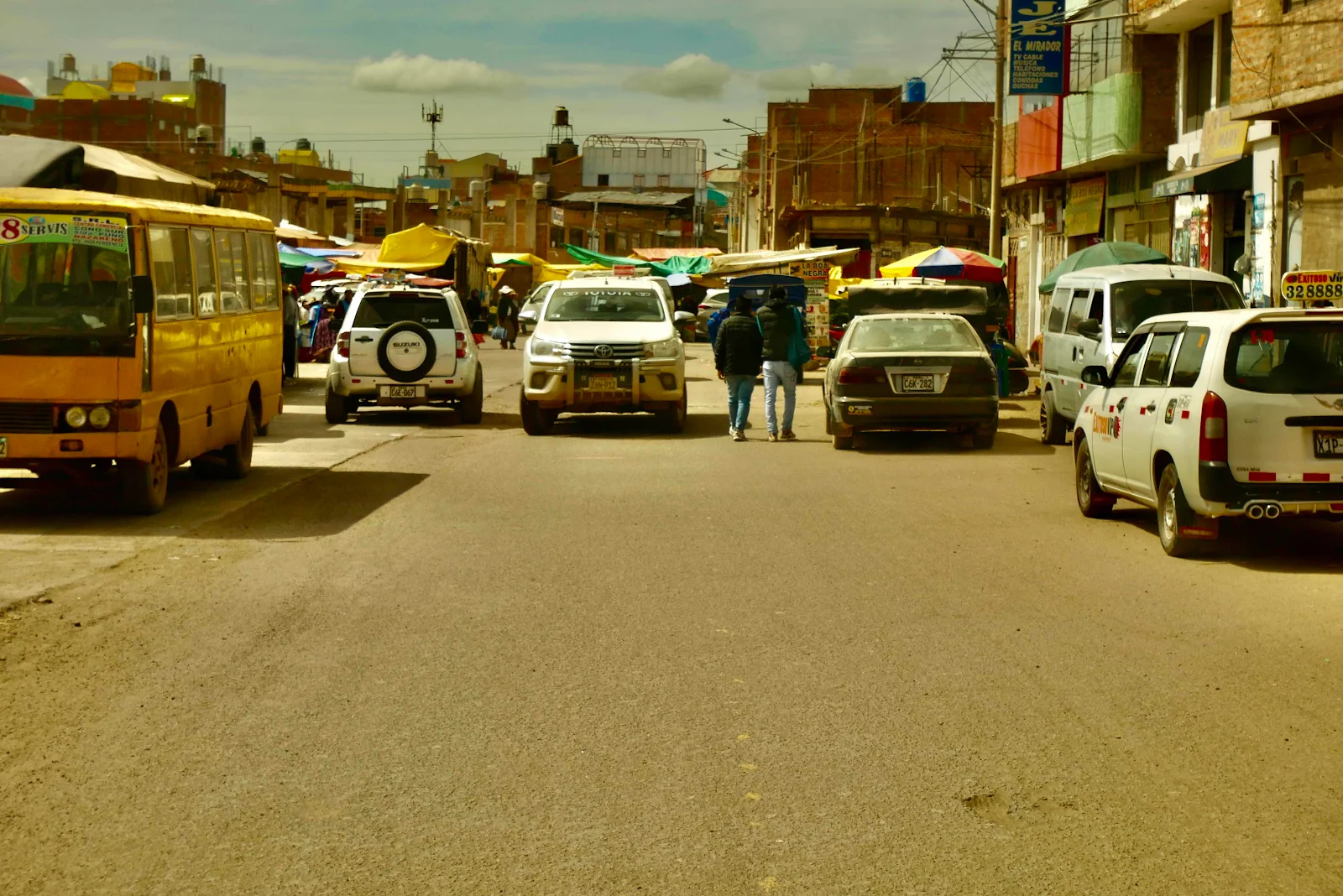
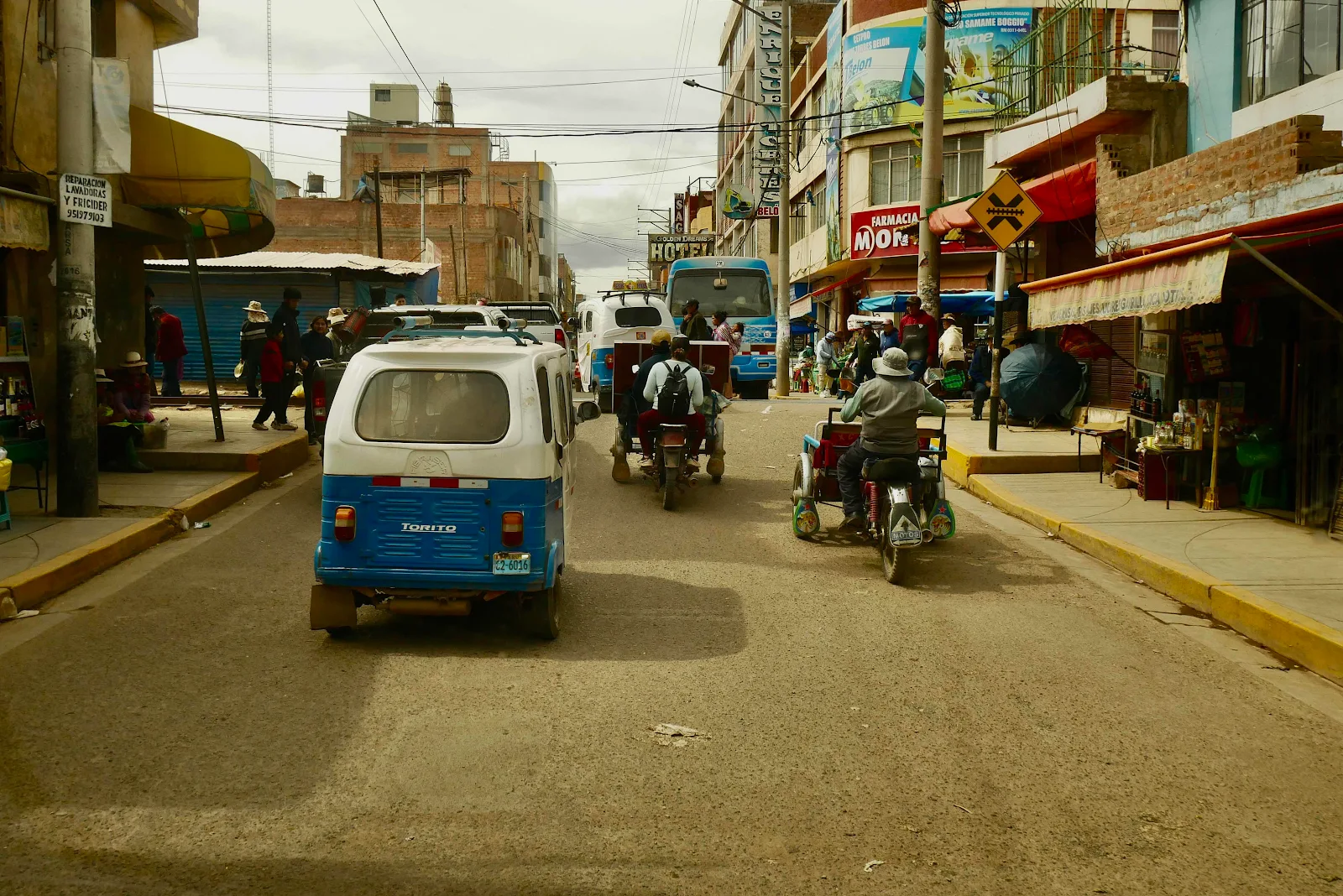
Those are the moments when you need eyes in the side of your head as a stream of traffic like debris in an overflowing river just pushes up against you and swirls around like a log jam.
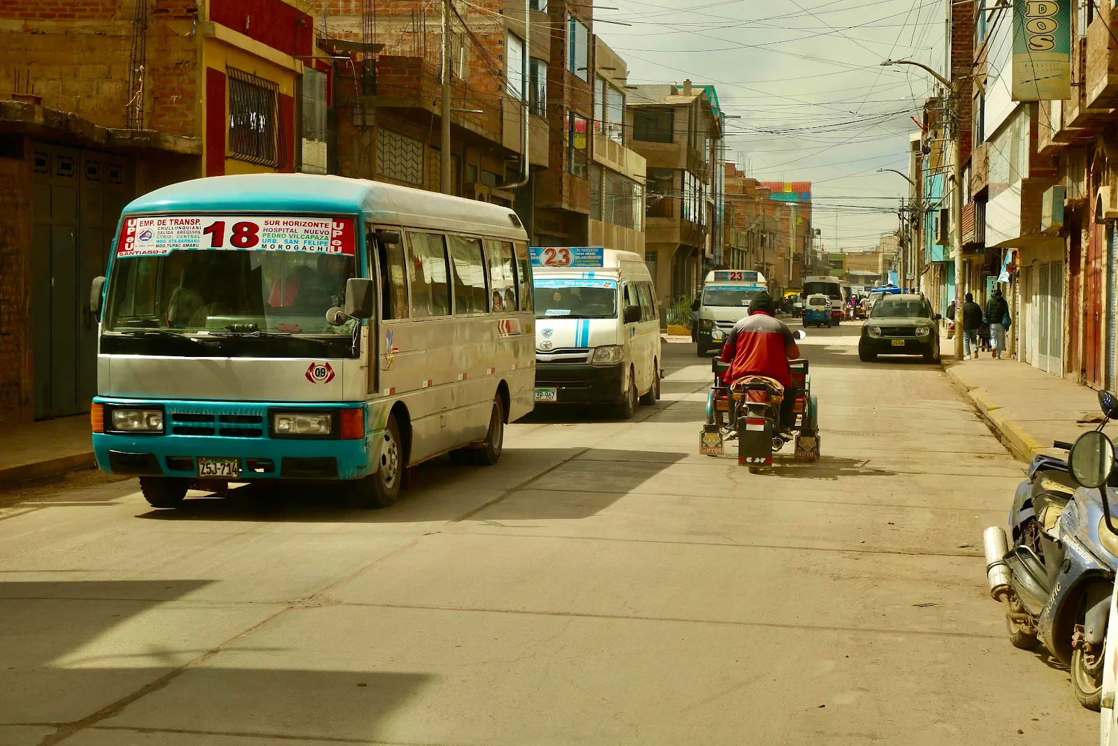
Photography is perforce limited to times of least stress.
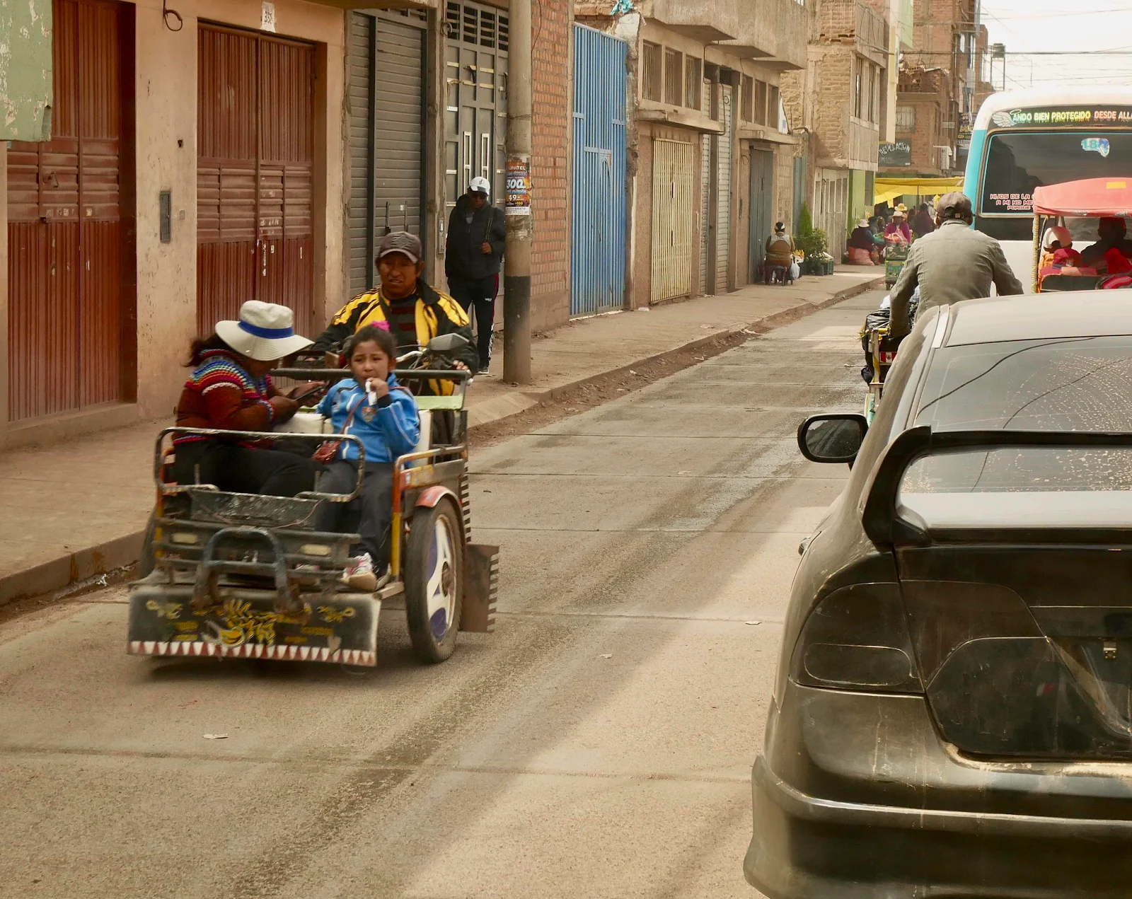
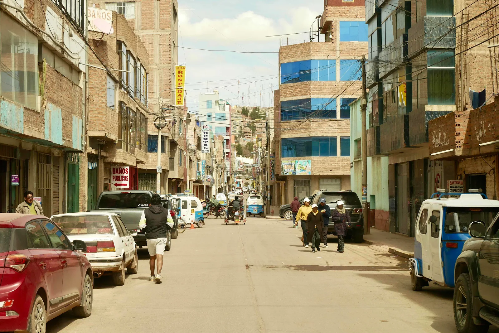
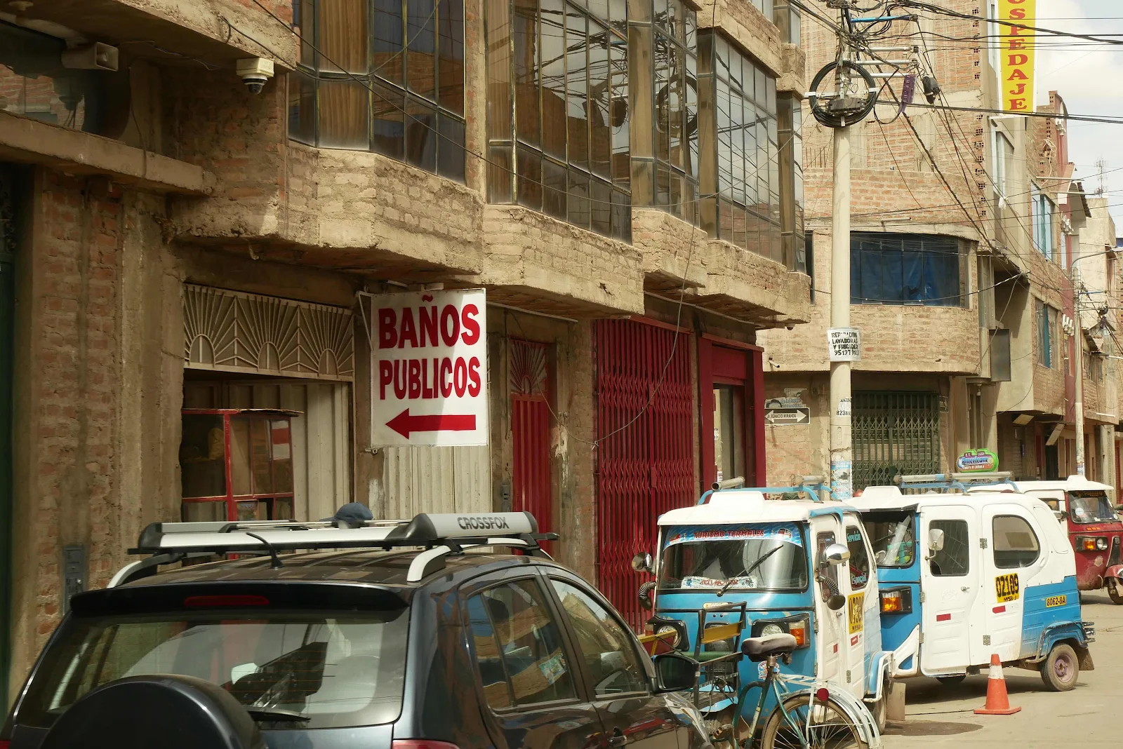
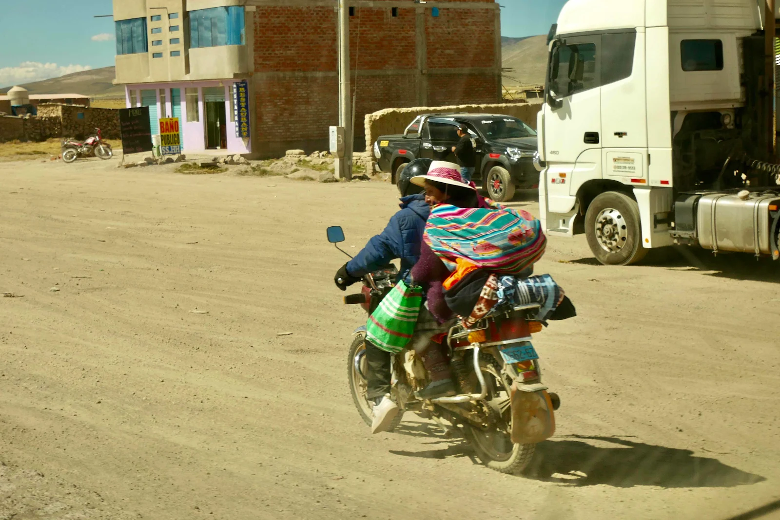
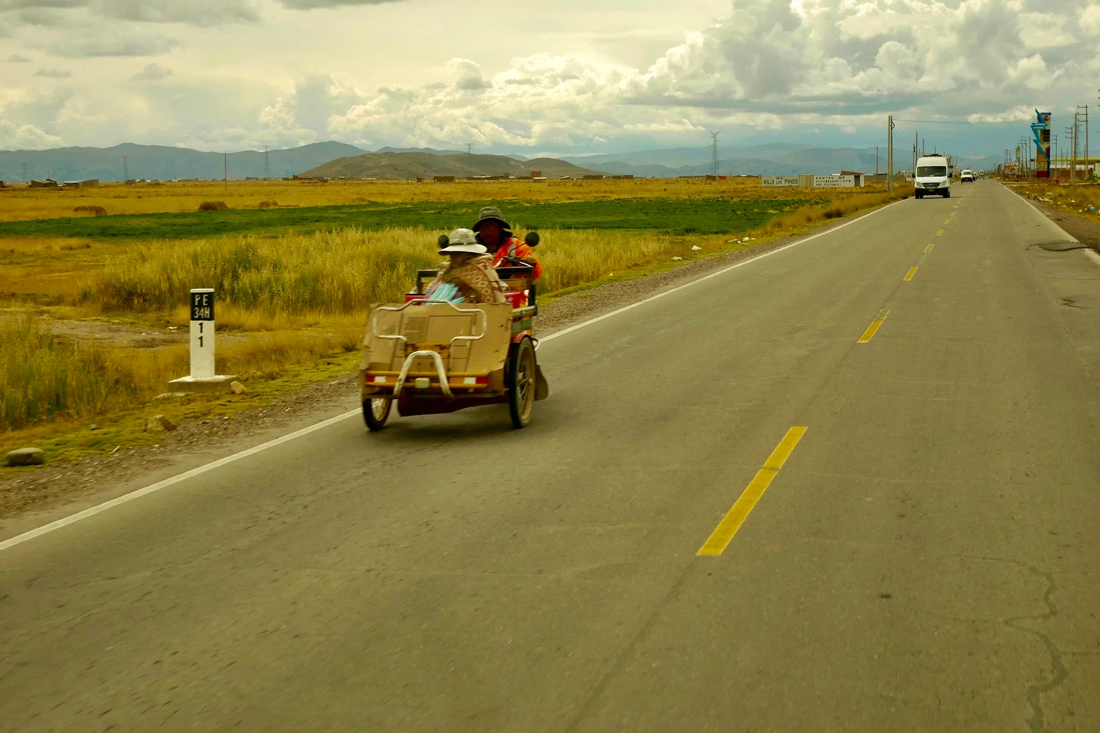
Imagine pedestrians (with small children) bicycles, motor tricycles and pedal tricycles, tuk tuks and cars all coming together at once all the time and shoving and trying to force a passage. This is truly third world driving.
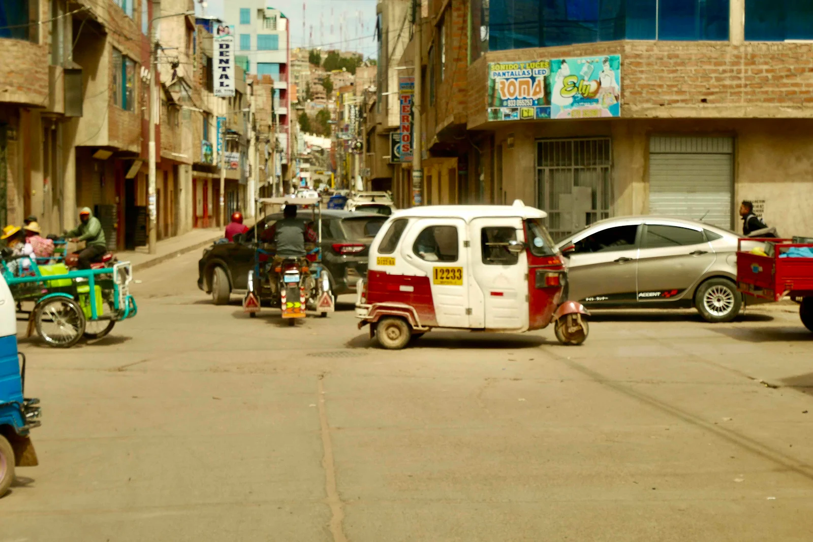
And it’s not a video game. You can’t stop and press pause and go get a juice from the fridge. It just goes on and on for an hour or two, with both of you looking for gaps in the flow and trying not to hit anything while also avoiding potholes.
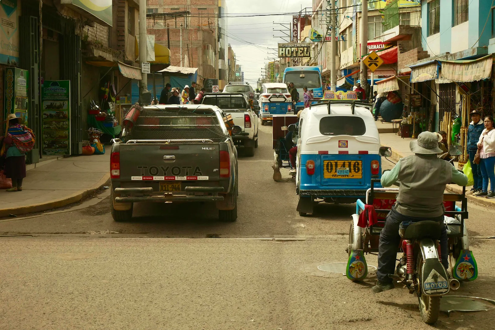
We are going to have to recheck the alignment on the van as I sideswiped a broken speed bump and wrenched the front wheel. Our $300 KO2 all terrain tires are too expensive to allow them to wear out prematurely.
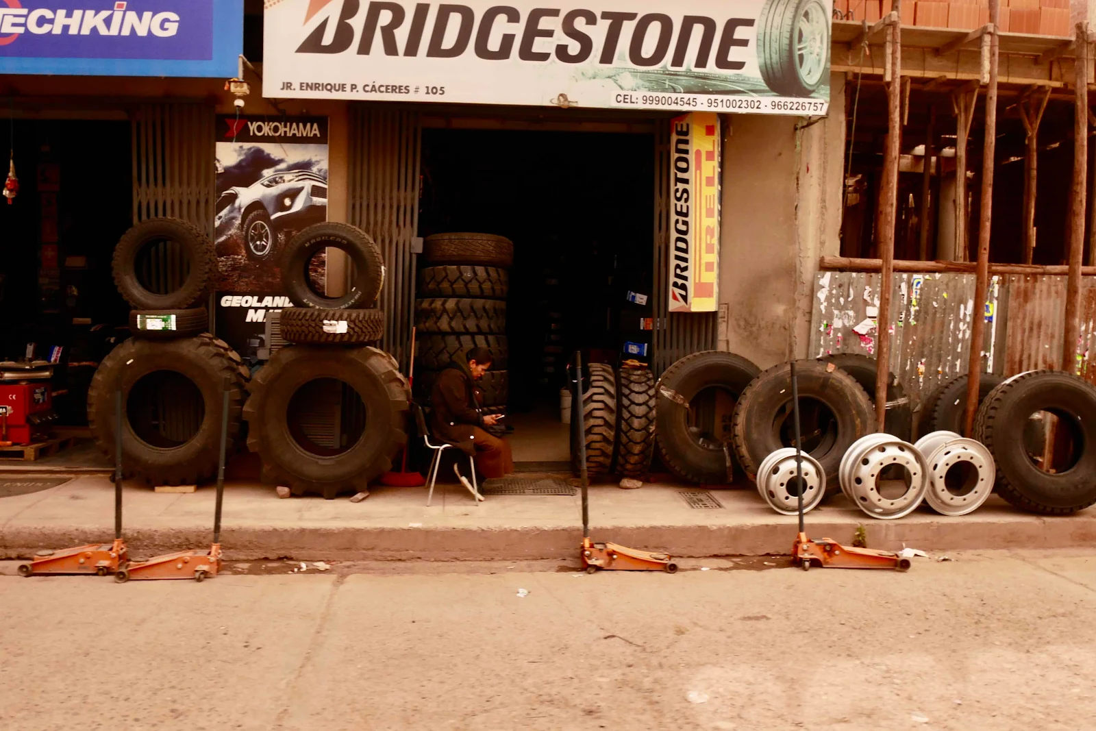
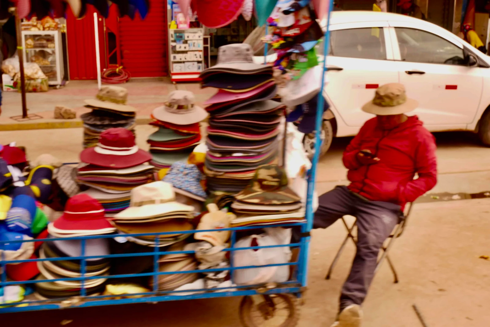
This is how you replace tires when you’re not at Costco:
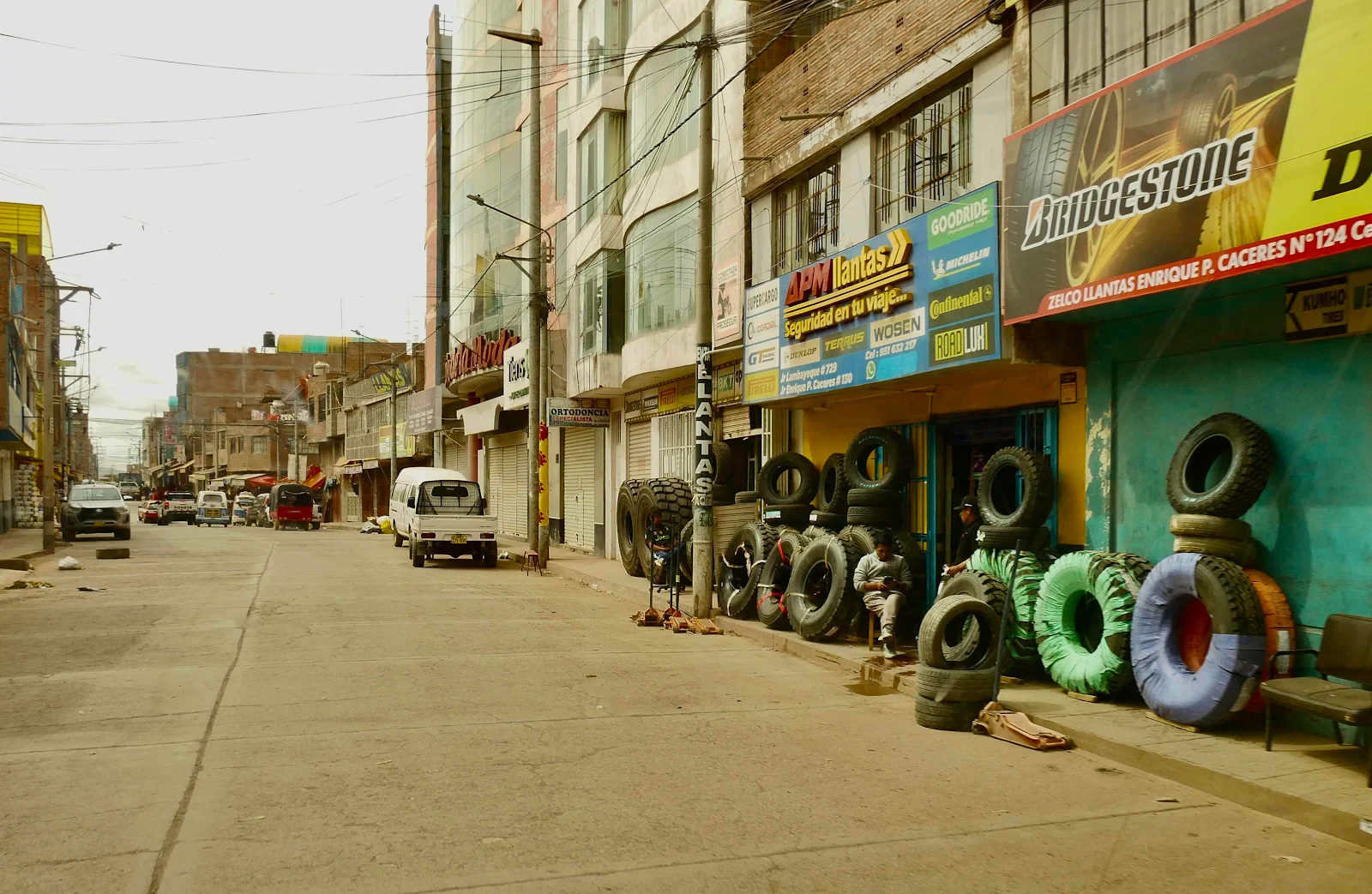
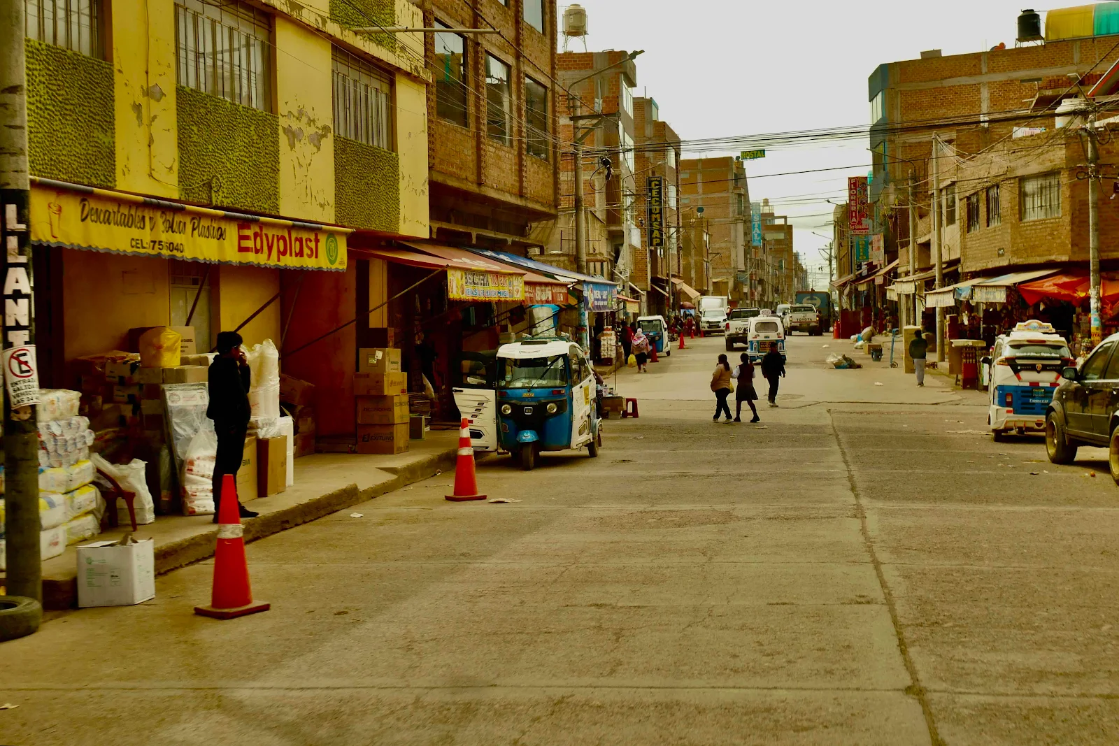
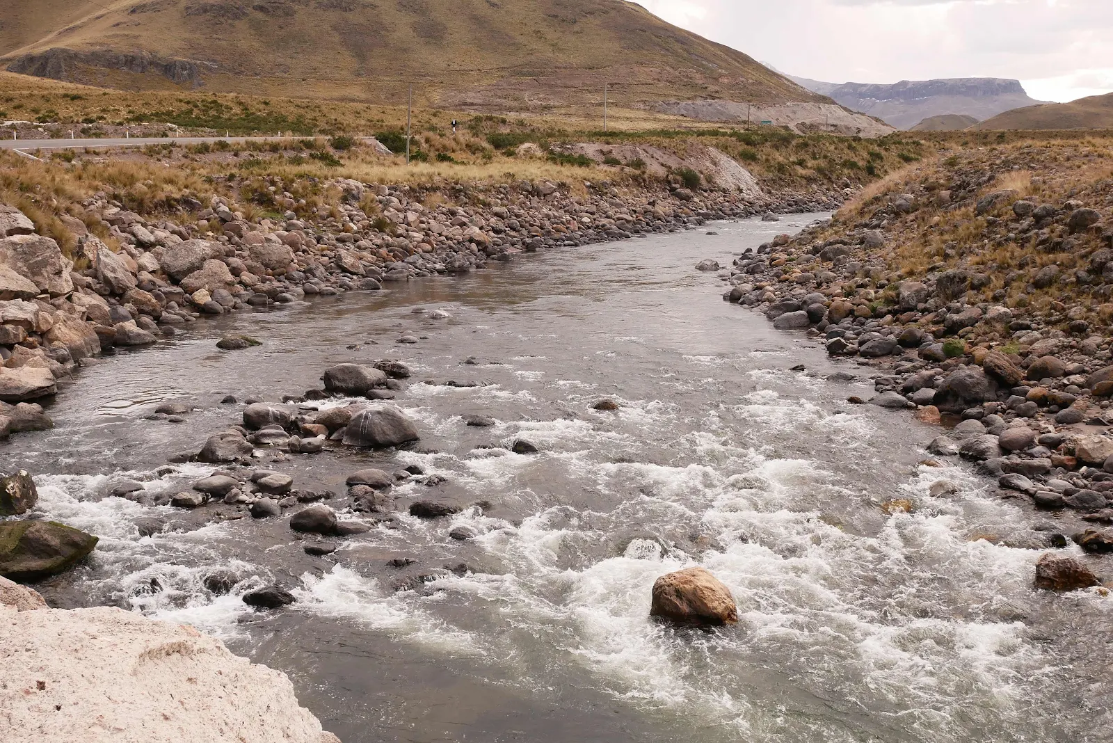
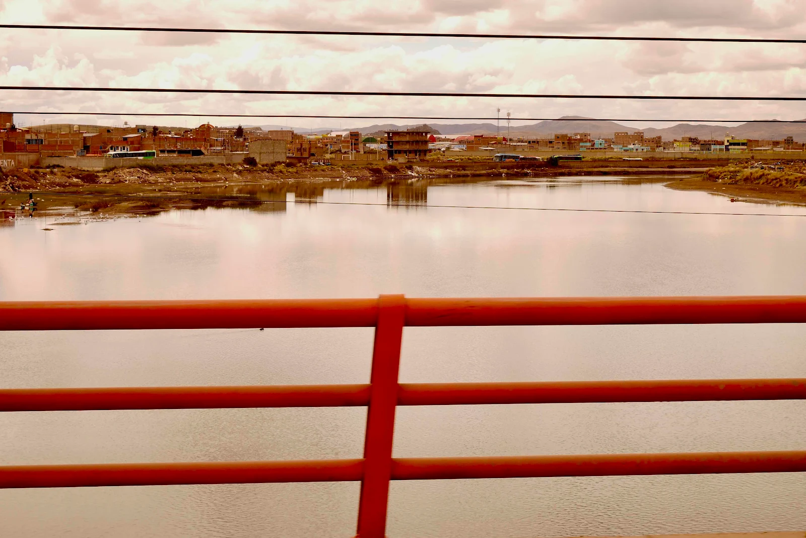
Finally we crossed the river out of town.
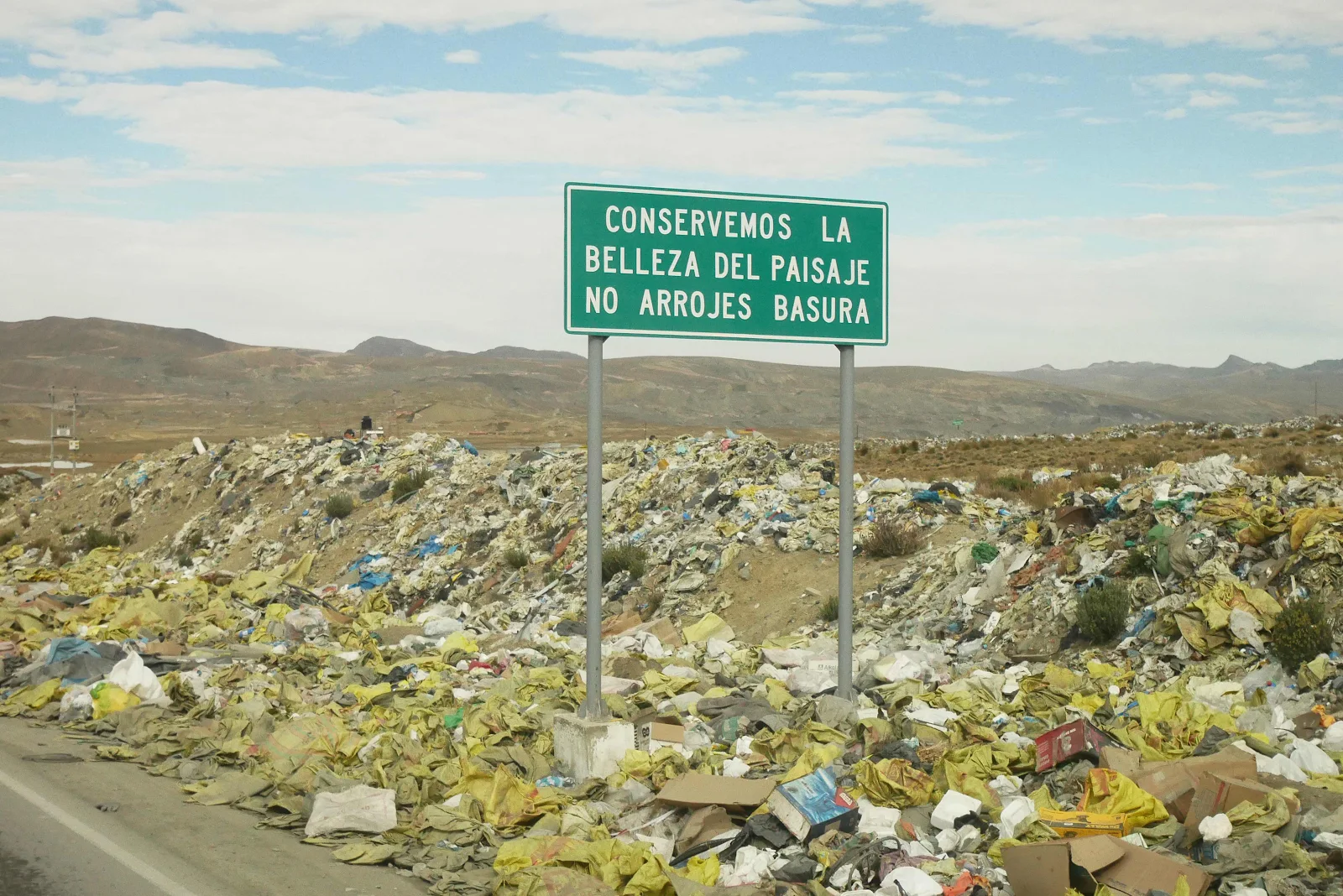
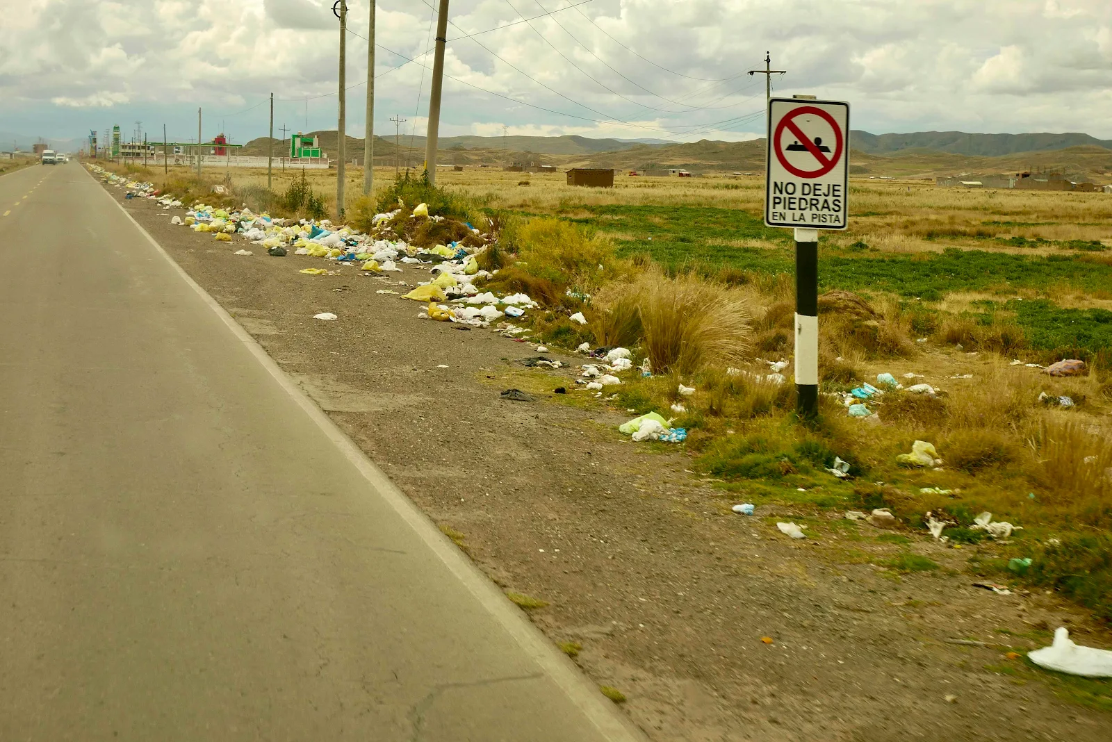
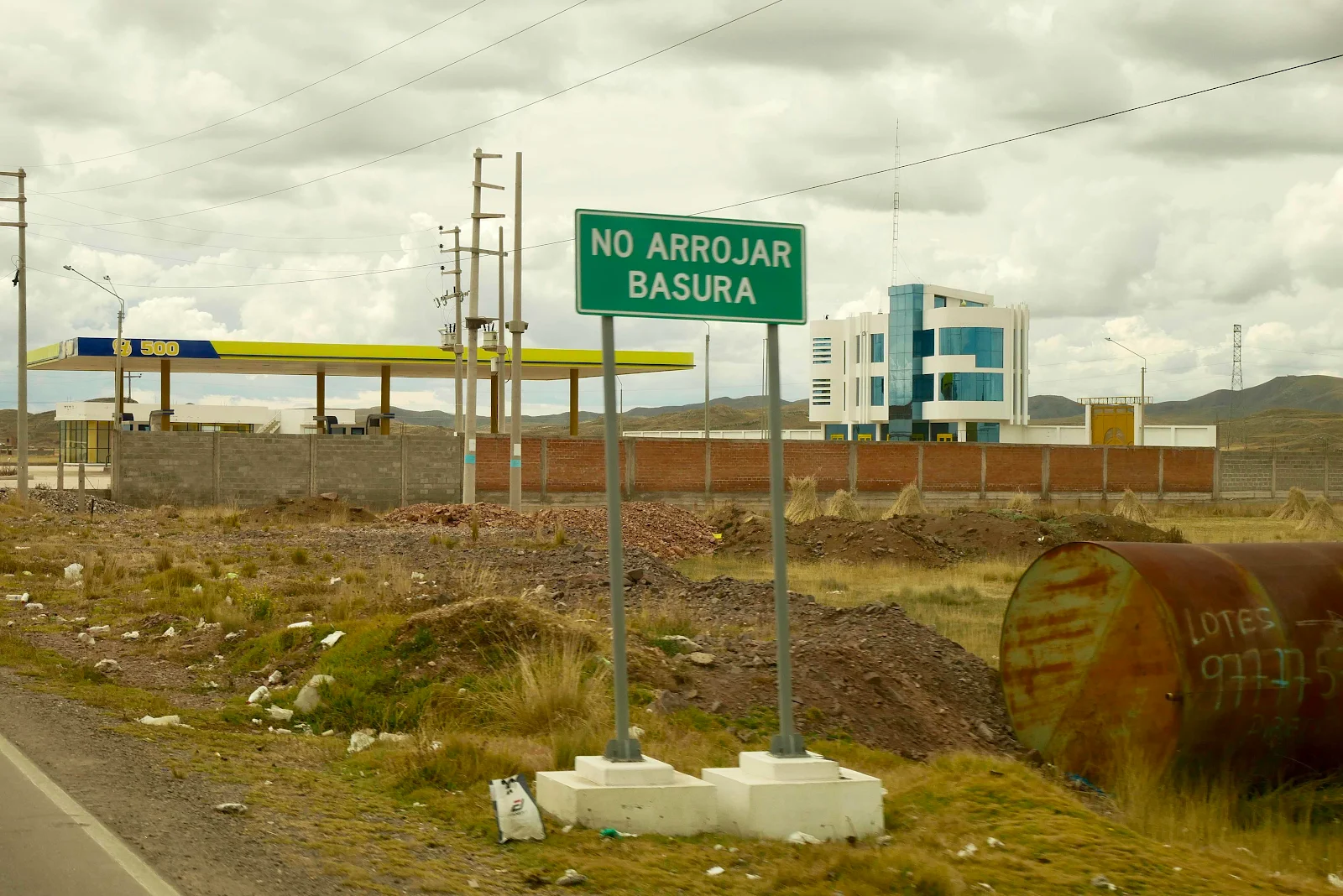
“Don’t contaminate. Take care of the environment.” It’s not their fault the city government has no waste disposal services. Which cost money.
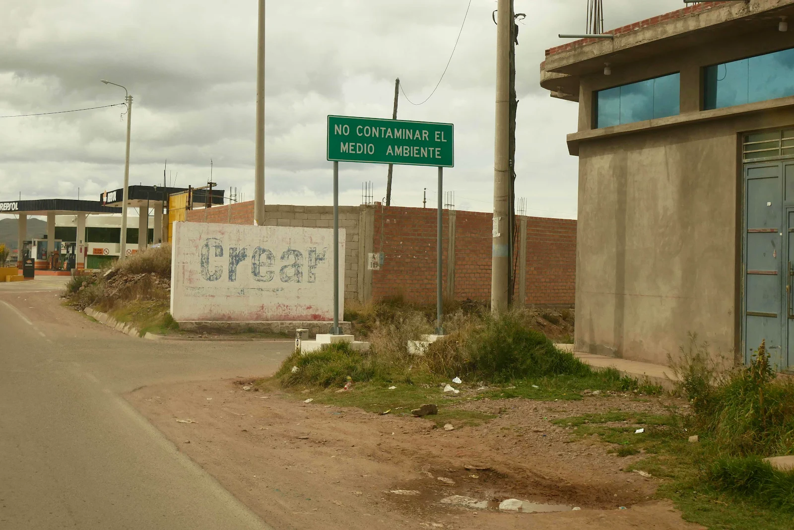
If you come to Peru on a tour you won’t see this as the tourist sites are swept clean. They know you don’t want to see this crap.
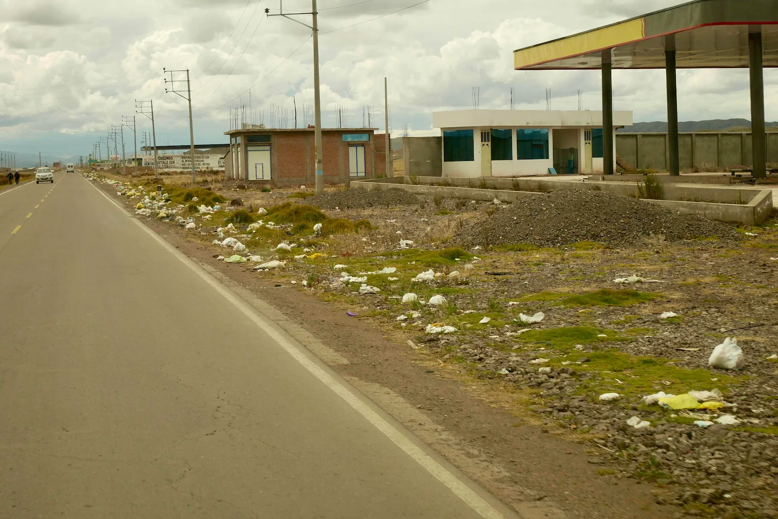
We expect pull outs to be garbage strewn wherever we go. It’s life in poverty.
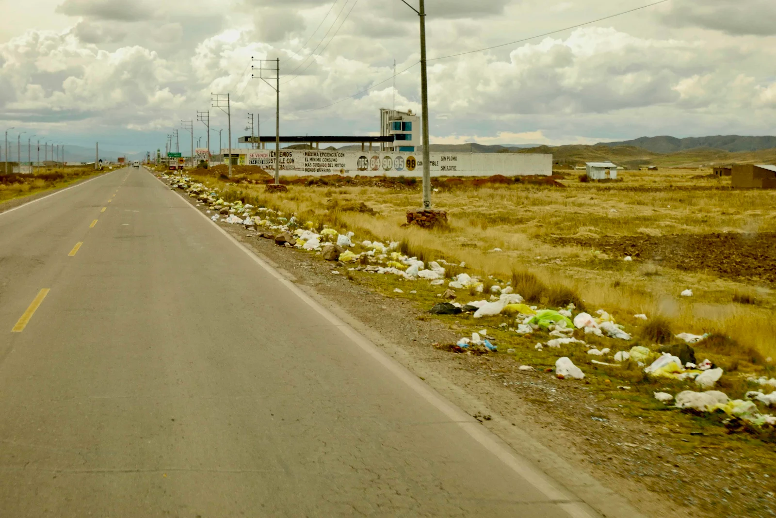
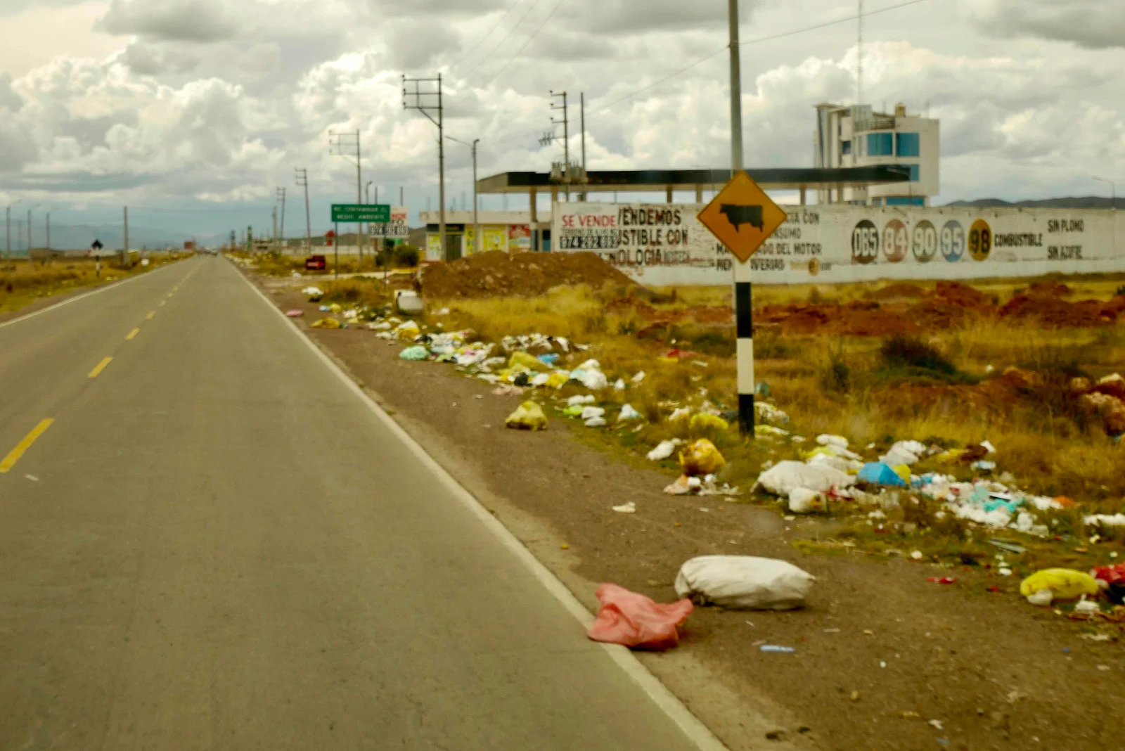
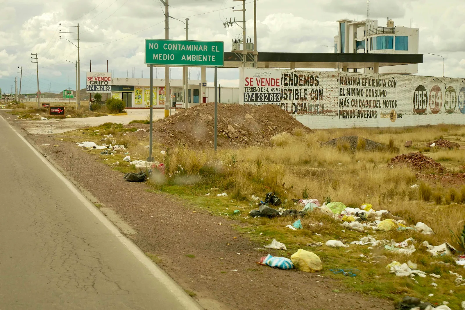
“Don’t dump trash.”
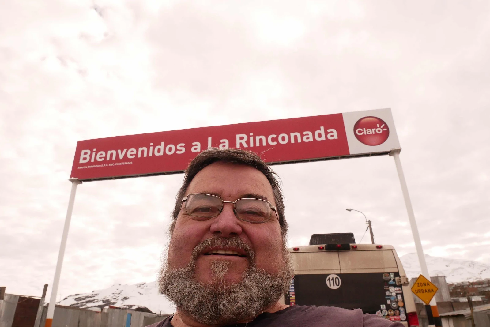
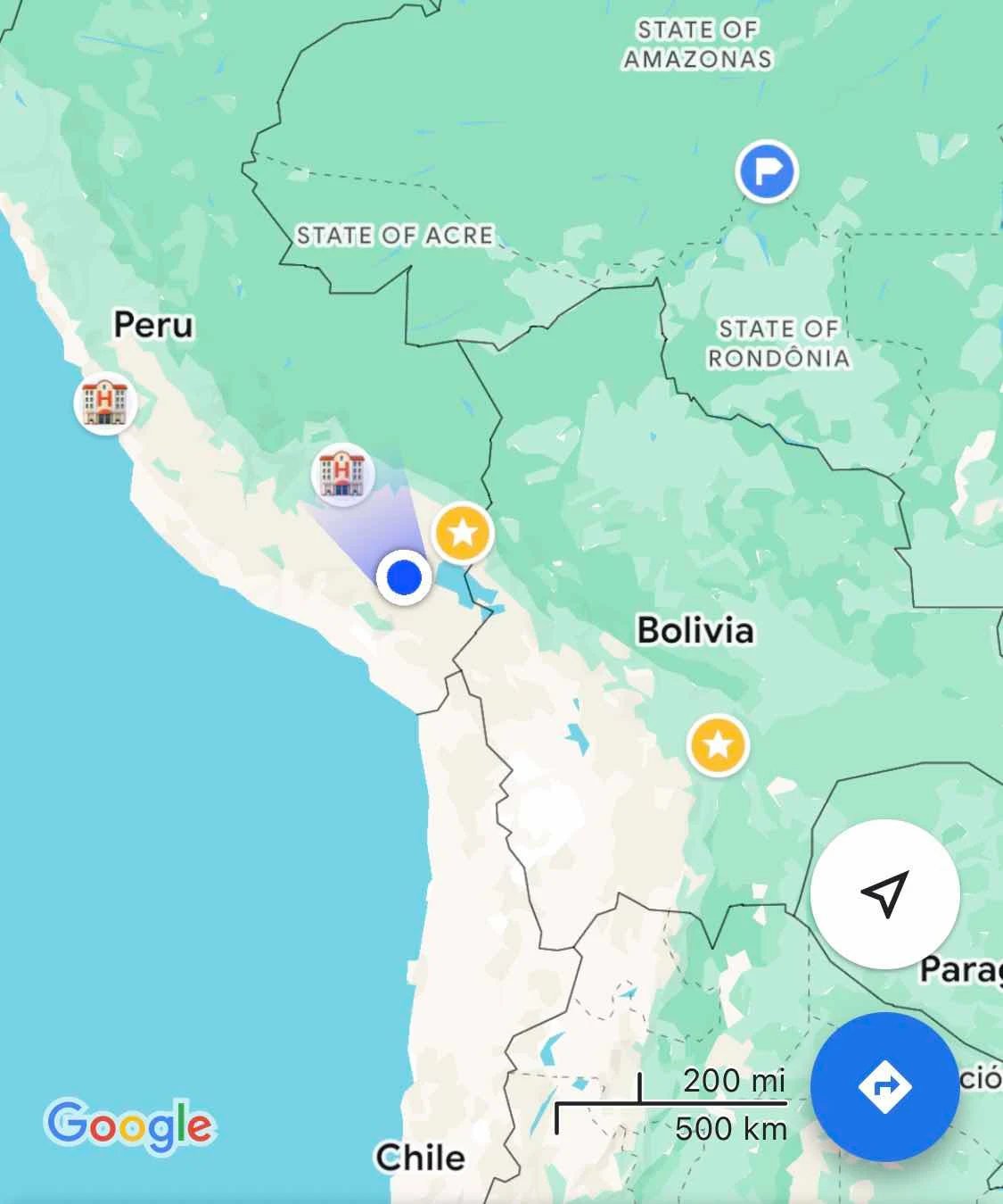
Enough of Juliaca and I hope you enjoyed the lesson on getting stuck in Peruvian traffic. Our next job was to find a wild camp so we could finally reach the gold star I have placed on my Google Map:
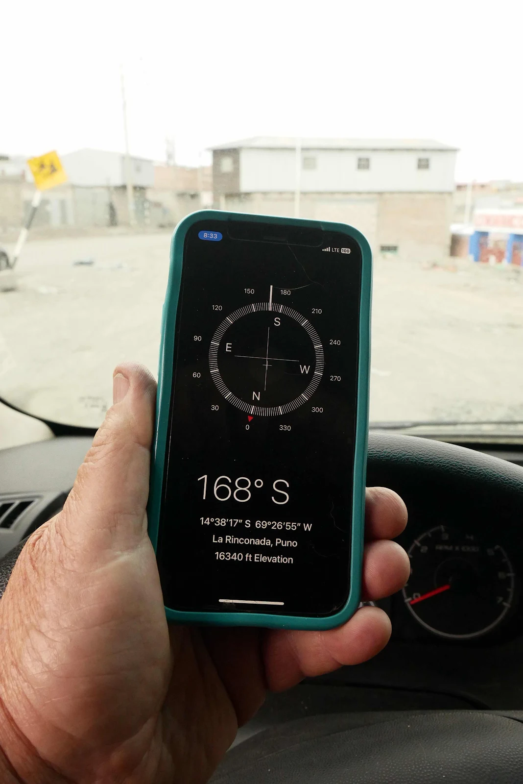
We are on our way to the highest town in the world. Put that in your record books.